The best MTB trails in San Lorenzo Valley Water District
4.3
(15)
453
riders
10
rides
Mountain bike trails in San Lorenzo Valley Water District are situated within the Santa Cruz Mountains, characterized by extensive redwood forests and the winding San Lorenzo River. The terrain offers diverse landscapes, from riverine paths to challenging routes with significant elevation gains. Riders encounter single tracks and wide dirt roads, providing options for various skill levels. This region is known for its ancient redwood groves, some reaching 285 feet tall, offering a unique backdrop for mountain biking.
Best mountain bike…
Last updated: May 28, 2026
2.0
(1)
44
riders
23.4km
02:10
620m
620m
Moderate mountain bike ride. Good fitness required. Suitable for all skill levels.
4.6
(9)
113
riders
43.5km
03:35
740m
740m
Moderate mountain bike ride. Good fitness required. Suitable for all skill levels.

Sign up for free
5.0
(1)
18
riders
12.2km
01:09
210m
210m
Hard mountain bike ride. Great for any fitness level. Advanced riding skills necessary. Some portions of the route may require you to push your bike.
11
riders
Moderate mountain bike ride. Good fitness required. Suitable for all skill levels.
Get access to more routes and recommendations from other explorers.
Sign up for free
Already have an account?
Our route recommendations are based on thousands of hikes, rides, and runs completed by other people on komoot.
Start today with a free account
Your next adventure awaits.
Login or Signup


Tips from the Community

This is a coastal redwood, not a Sequoia redwood which is a different species found inland.
0
0

Today, this area is a protected stand of Redwoods, but as you walk along the trail you are bound to come across the remnants of a once booming industry based on the cutting and selling of these magnificent trees.
0
0

The Indian Creek Railroad Bridge was once part of a rail system used to transport lumber and goods from the surrounding redwood forests. Today, it stands as a reminder of the region’s industrial past. While the bridge is not accessible to pedestrians, it can be viewed from nearby trails.
0
0

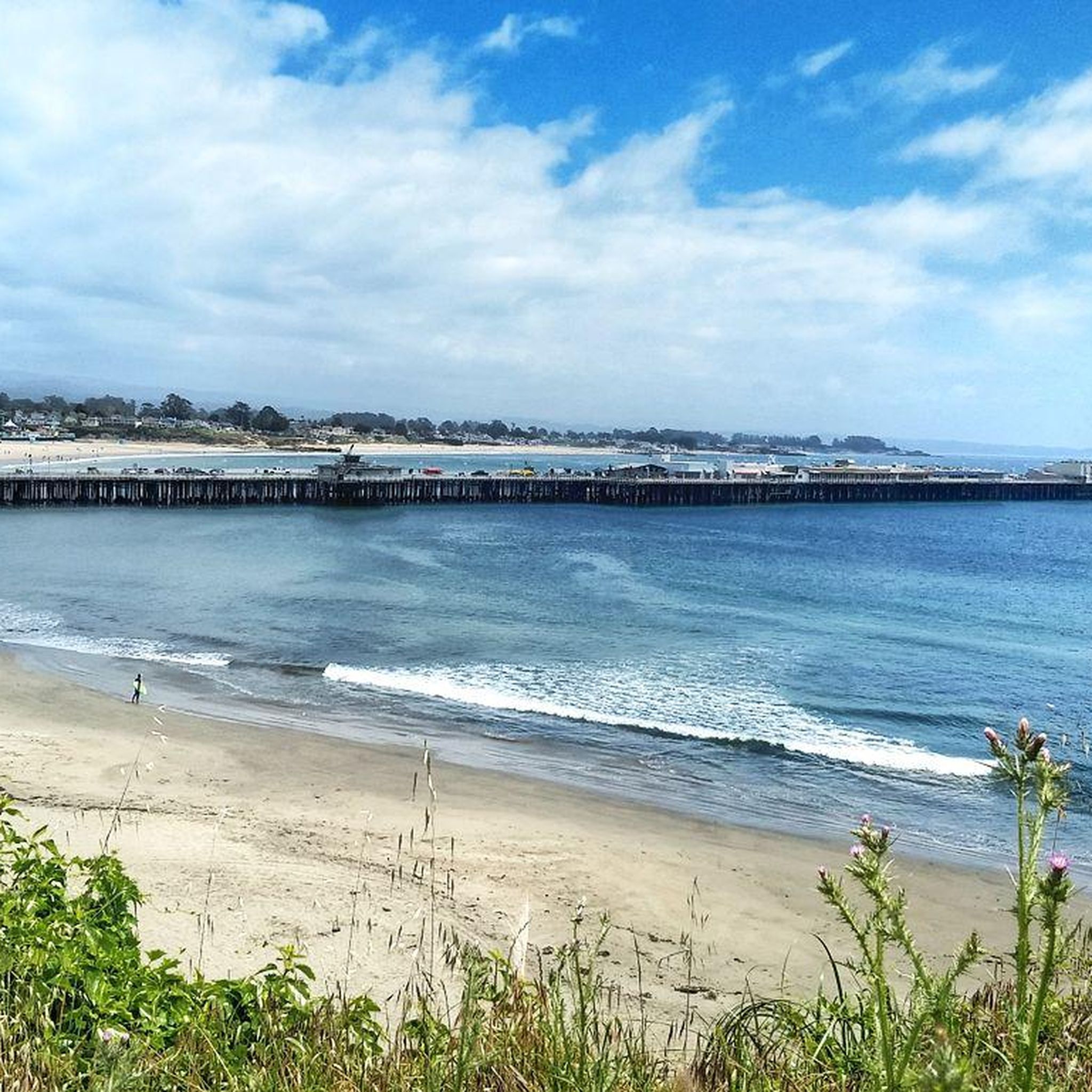
Twin Lakes State Beach features a mile of sandy shoreline for swimming and picnicking, situated near the Santa Cruz Harbor. Adjacent Schwan Lake Park offers picturesque walking trails through oak preserves and coastal grasslands, ideal for dog-walking and bird watching. The day-use area operates from sunrise to sunset.
0
0

The Wilder Ranch Bike Path is an entirely paved trail away from the nearby busy highway. The path helps connect Wilder Ranch State Park to Santa Cruz and is open to runners and walkers, too.
0
0

Moran Lake is in the middle of Moran Lake Park which has a nice trail next to the lake and opens out onto Moran Lake Beach. The park has a parking area and restrooms. The beach is the real attraction but the park and lake are also very nice.
0
0

This area is a steep, gullied region containing numerous springs and seeps (areas where water oozes slowly out of the ground). A diverse range of wildlife, including bobcats, cows, eagles, and squirrels, can be found here.
0
0

Winding through lush greenery, this trail provides ample shade. With occasional narrow passages and rocky sections, it adds an intriguing touch to the ride—a journey through nature's captivating terrain.
0
0
Frequently Asked Questions
How many mountain bike trails are available in the San Lorenzo Valley Water District?
The San Lorenzo Valley Water District area offers a selection of 7 mountain bike trails, catering to various skill levels. You'll find 1 easy route, 5 moderate routes, and 1 difficult route to explore.
What kind of terrain can I expect on mountain bike trails in the San Lorenzo Valley?
The terrain in the San Lorenzo Valley is diverse, featuring a mix of single tracks and wide dirt roads. You'll encounter varied conditions, often with significant elevation gains, and some sections may even require pushing your bike. The landscape includes ancient redwood forests, scenic riverbanks, and steep canyons.
Are there any easy mountain bike trails suitable for beginners or families?
Yes, there is an easy mountain bike trail available. The Mill Pond – Indian Creek Railroad Bridge loop from Felton is a shorter, 7.2 km route with a manageable 137 meters of elevation gain, making it a good option for those seeking a less challenging ride.
What are some notable natural features or landmarks I might see while mountain biking in the San Lorenzo Valley?
The San Lorenzo Valley is rich in natural beauty. You'll ride through majestic redwood forests, including areas within Henry Cowell Redwoods State Park and Miller County Park. The San Lorenzo River winds through the valley, offering scenic views, and you might also encounter unique geological formations in the steep canyons. The historic Felton Covered Bridge is another interesting landmark.
Are there any long-distance mountain bike loops in the area?
For those looking for a longer ride, the Wild Boar Trail – Wilder Ranch Bike Path loop from Pineridge is a substantial 43.2 km route with over 740 meters of elevation gain, offering a comprehensive tour of the varied terrain.
What do other mountain bikers say about the trails in San Lorenzo Valley Water District?
The mountain bike trails in San Lorenzo Valley Water District are highly rated by the komoot community, with an average score of 4.4 stars from more than 7 reviews. Riders often praise the diverse terrain, the beauty of the redwood forests, and the challenging yet rewarding climbs.
Are there any mountain bike trails that offer coastal views?
Yes, the Four Mile Beach – Needle Rock loop from Empire Grade & Smith Grade is a 35.7 km trail that leads through coastal landscapes, providing a different scenic experience compared to the inland redwood forests.
Can I find trails that go through redwood forests?
Absolutely. The San Lorenzo Valley is famous for its redwood forests. A great option is the Cathedral Redwoods – Chuck Beebe Scenic Bench loop from Felton Roaring Camp, a 19.3 km moderate path that leads directly through majestic redwood groves.
What is the best time of year to go mountain biking in the San Lorenzo Valley?
While specific seasonal considerations can vary, the Santa Cruz Mountains generally offer good riding conditions for much of the year. However, it's always advisable to check local weather and trail conditions, especially after heavy rains, as some trails can become muddy or experience closures.
Are there opportunities for advanced mountain bikers in the San Lorenzo Valley?
Yes, the region offers trails that require good fitness and advanced riding skills. With significant elevation gains and varied terrain, including single tracks and sections where you might need to push your bike, experienced riders will find challenging options to test their abilities.
Are there any parks or recreational areas accessible by mountain bike in the San Lorenzo Valley?
The San Lorenzo Valley is home to several state and county parks that offer extensive recreational opportunities, many of which include mountain biking trails. Notable examples include Henry Cowell Redwoods State Park, Fall Creek, and Quail Hollow Ranch County Park, known for its unique habitats.
What kind of elevation gain should I expect on the mountain bike trails?
Elevation gains vary significantly across the trails. For instance, an easy route like the Mill Pond – Indian Creek Railroad Bridge loop from Felton has about 137 meters of ascent, while longer, moderate trails such as the Wild Boar Trail – Wilder Ranch Bike Path loop from Pineridge can feature over 740 meters of climbing.
Most popular routes in San Lorenzo Valley Water District

Get inspired with the komoot mobile app


Explore more
Browse the best MTB trails in other regions.
