The best road cycling routes around Coille Inbhirwick
4.3
(9)
428
riders
11
rides
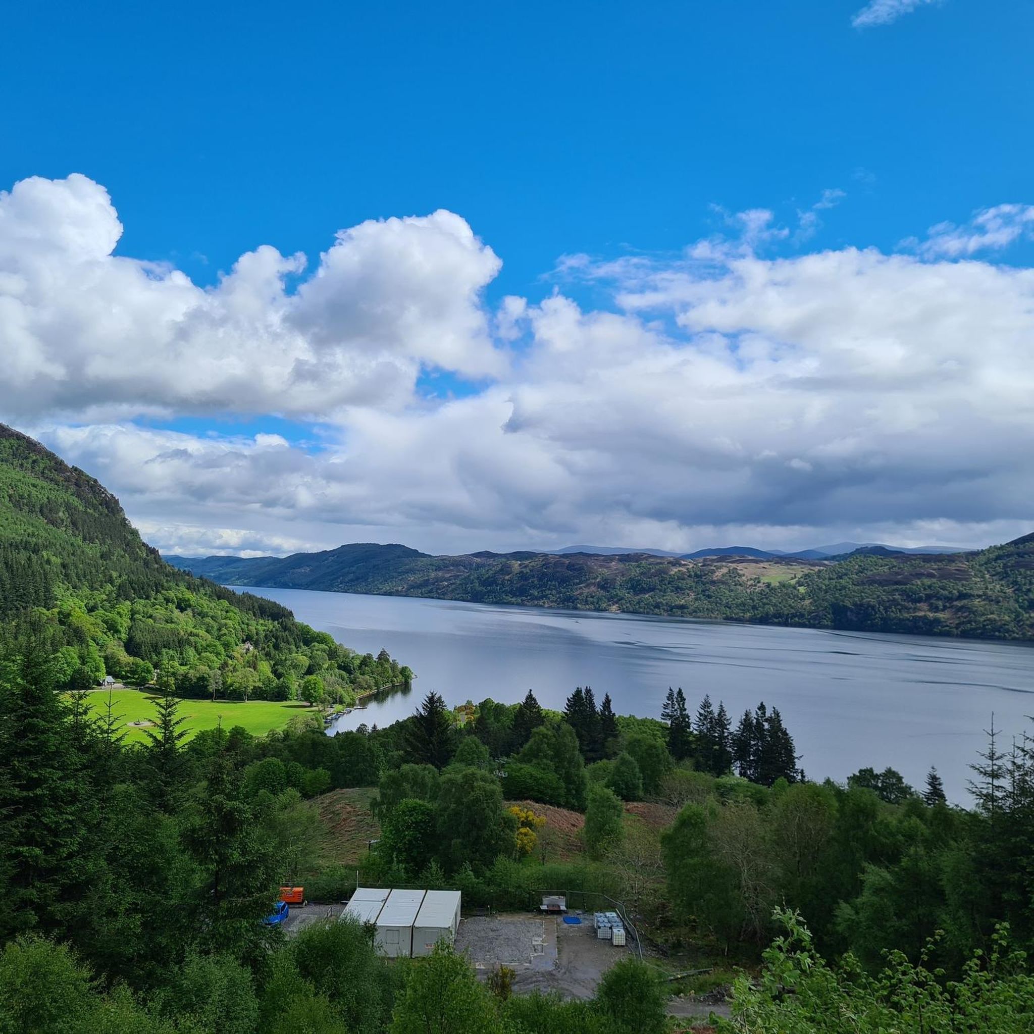
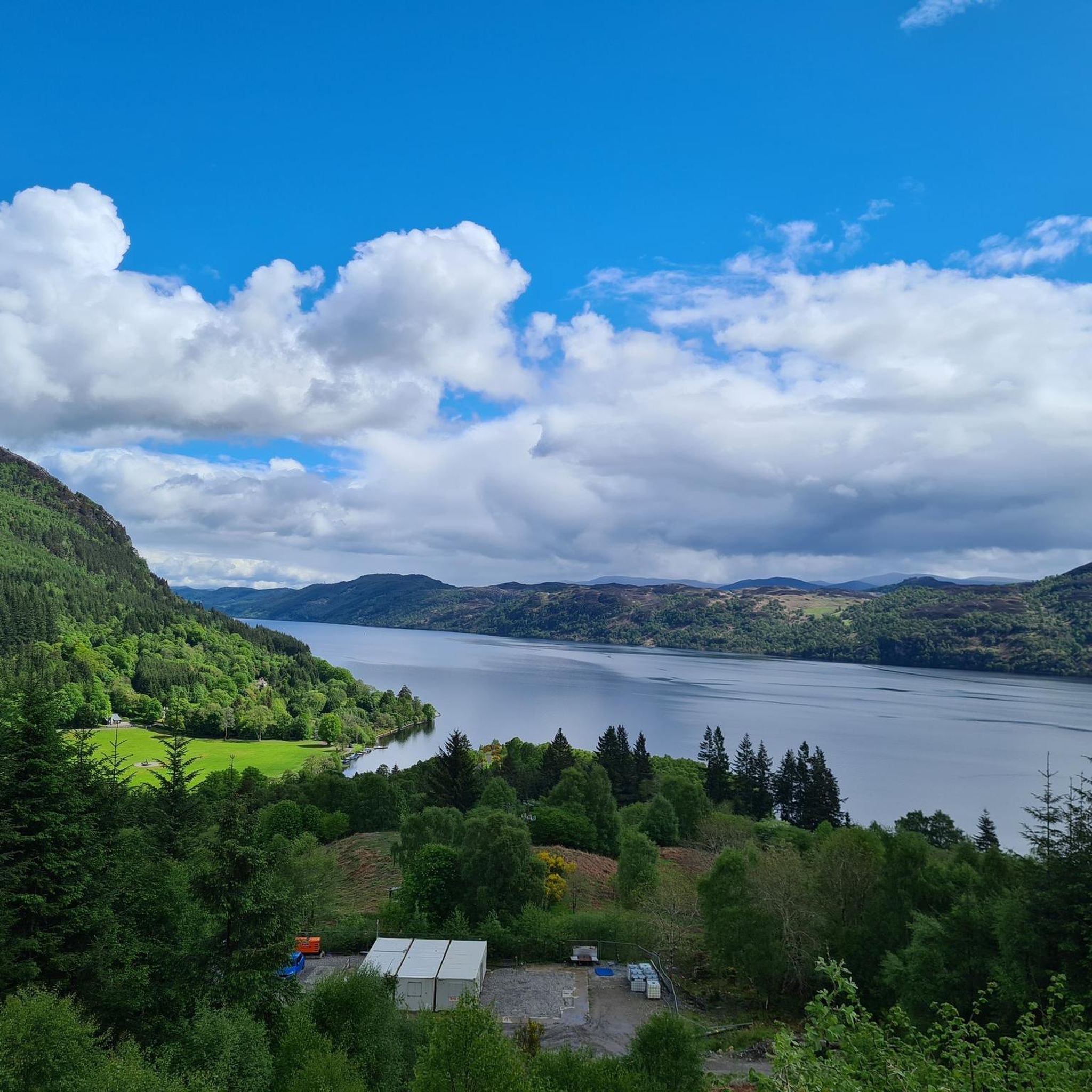
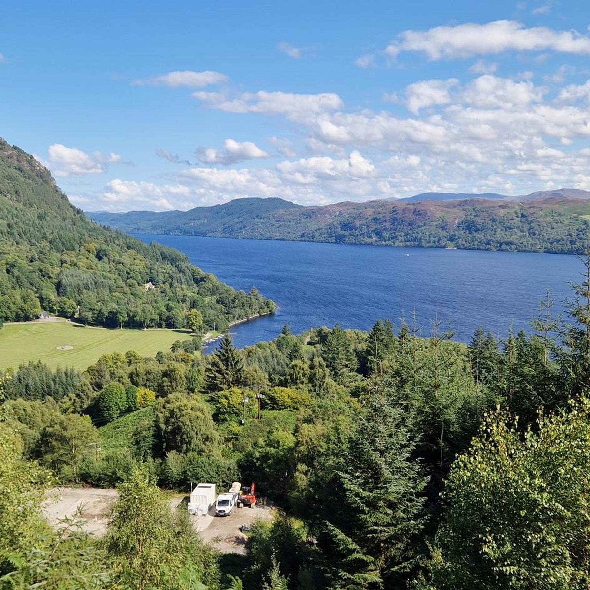
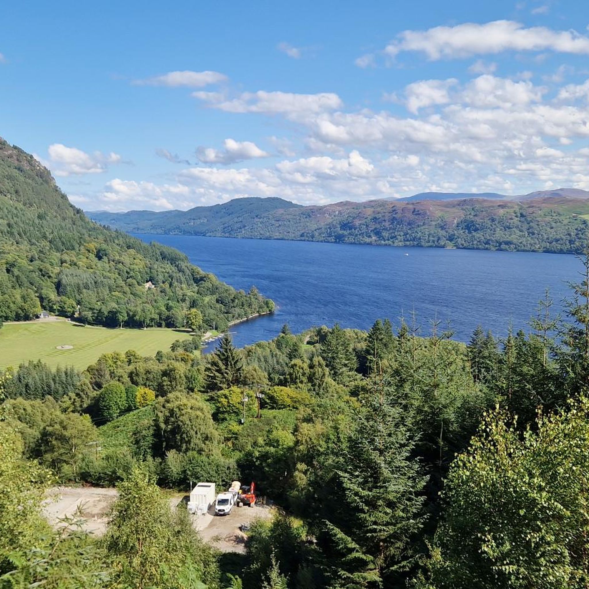
Road cycling routes around Coille Inbhirwick traverse the varied landscapes of the Scottish Highlands. The terrain features significant elevation changes, with routes often winding through glens and alongside large lochs. These paths offer views of natural features typical of the region, including expansive bodies of water and upland areas. Road cyclists can expect long distances and challenging climbs.
Best road cycling routes around Coille Inbhirwick
- The most popular road cycling route is Loch Garry loop from Innvermoriston, a 41.9…
Last updated: May 17, 2026
20
riders
67.5km
03:03
550m
550m
This moderate 41.9-mile road cycling loop from Invermoriston offers scenic views of Loch Garry and the Scottish Highlands, passing Invermori
12
riders
55.3km
02:49
910m
910m
Hard road ride. Very good fitness required. Mostly well-paved surfaces and easy to ride.

Sign up for free
9
riders
105km
04:41
800m
800m
Moderate road ride. Good fitness required. Mostly well-paved surfaces and easy to ride.
5.0
(2)
144
riders
Moderate road ride. Good fitness required. Mostly well-paved surfaces and easy to ride.
3.0
(2)
36
riders
41.6km
02:14
740m
740m
Moderate road ride. Good fitness required. Mostly well-paved surfaces and easy to ride.
Get access to more routes and recommendations from other explorers.
Sign up for free
Already have an account?
Our route recommendations are based on thousands of hikes, rides, and runs completed by other people on komoot.
Start today with a free account
Your next adventure awaits.
Login or Signup
Tips from the Community

No traffic whatsoever. The road gets a bit gravelly in some places but it’s all good on a road bike. Expect lots of sheep. You’ll come across a gate a few kilometres up the hill and there might be some cows on the field alongside.
0
0


QOM and KOM of the Etape Loch Ness, windy, beautiful views, perfect place for hiking pauses
0
0
nice point for a short stop, noisy river with old bridges
0
0
Frequently Asked Questions
What kind of terrain can I expect on road cycling routes around Coille Inbhirwick?
The road cycling routes around Coille Inbhirwick, situated in the Scottish Highlands, feature varied landscapes with significant elevation changes. You'll often find paths winding through glens and alongside large lochs, offering views of expansive bodies of water and upland areas. Expect challenging climbs and descents, characteristic of the region's natural topography.
How many road cycling routes are available in the Coille Inbhirwick area?
There are 12 distinct road cycling routes available around Coille Inbhirwick. These routes offer a range of experiences, from moderate to difficult, catering to different skill levels.
What are some of the longer road cycling routes in the area?
For those seeking longer rides, the Commando Memorial – Neptune’s Staircase loop from Fort Augustus is a notable option, covering 62.3 miles (100.3 km). Another substantial route is the View of Urquhart Castle – Descent Into Dores loop from Knockie Lodge (Loch Ness), which spans 80.7 miles (129.9 km).
Are there any challenging road cycling routes with significant climbs?
Yes, many routes in the area feature substantial climbs. The Fort Augustus Locks – View of Loch Ness loop from Fort Augustus is classified as difficult and includes significant elevation gain. Similarly, the View of Loch Ness – Carn an t-Suidhe Climb loop from Fort Augustus, though shorter, also presents a notable climb.
What natural features or landmarks can I see while road cycling in this region?
The routes offer views of prominent natural features such as Loch Ness and Loch Garry. You'll also pass through glens and alongside canals. The broader region, including areas like Coille Dalavil, is known for its upland mixed oak woodlands, deep narrow gorges formed by Torridonian Sandstone dykes, and diverse wetland habitats, contributing to a rich natural landscape.
What do other road cyclists think about the routes around Coille Inbhirwick?
The road cycling routes around Coille Inbhirwick are highly regarded by the komoot community, holding an average rating of 4.3 stars from over 9 reviews. Cyclists often praise the long distances, significant elevation changes, and the scenic views of lochs and glens.
Are there any circular road cycling routes available?
Yes, several routes are designed as loops, allowing you to start and finish in the same location. Examples include the Loch Garry loop from Innvermoriston, the Fort Augustus Locks – View of Loch Ness loop from Fort Augustus, and the Commando Memorial – Neptune’s Staircase loop from Fort Augustus.
What is the best time of year for road cycling in the Scottish Highlands around Coille Inbhirwick?
While specific seasonal data for Coille Inbhirwick is not available, the Scottish Highlands generally offer the most favorable road cycling conditions from late spring to early autumn (May to September). During these months, you can expect longer daylight hours and milder weather, though conditions can change rapidly. Winter cycling can be challenging due to colder temperatures, shorter days, and potential for snow or ice.
Are there any beginner-friendly road cycling routes?
The routes around Coille Inbhirwick are generally categorized as moderate to difficult, with no routes specifically listed as 'easy'. Cyclists should be prepared for significant elevation changes and longer distances. The Loch Garry loop from Innvermoriston is a moderate option, which might be suitable for those with some cycling experience looking for a less extreme challenge.
What are the typical distances for road cycling routes in this area?
The road cycling routes around Coille Inbhirwick vary significantly in length. You can find routes ranging from approximately 21.6 miles (34.8 km), such as the View of Loch Ness – Carn an t-Suidhe Climb loop from Fort Augustus, up to 62.3 miles (100.3 km) for the Commando Memorial – Neptune’s Staircase loop from Fort Augustus.
Are there any cafes, pubs, or accommodation options near the road cycling routes?
While specific establishments are not listed in the route data, the routes often start or pass through towns like Fort Augustus and Innvermoriston. These settlements typically offer amenities such as cafes, pubs, and various accommodation options suitable for cyclists. It's advisable to check local listings for specific services along your chosen route.
Is public transport available to access the road cycling routes?
The region around Coille Inbhirwick and the broader Scottish Highlands has varying levels of public transport access. Major towns like Fort Augustus, which serve as starting points for several routes, are generally accessible by bus services. However, access to more remote starting points may require private transport. It's recommended to check local bus schedules and routes in advance.
What should I know about parking for road cycling in the Coille Inbhirwick area?
For routes starting in towns like Fort Augustus or Innvermoriston, you can typically find public parking facilities. However, for more remote trailheads, parking might be limited. Always ensure you park responsibly and legally, respecting local regulations and private property.
Most popular routes around Coille Inbhirwick

Get inspired with the komoot mobile app


Explore more
Browse the best Road cycling routes in other regions.
