The best running trails in Sierra De La Carrodilla
4.5
(5)
36
runners
7
runs
Jogging in Sierra De La Carrodilla offers routes through a landscape characterized by rolling hills, agricultural plains, and areas with historical significance. The region features a mix of open terrain and paths that may lead past water bodies like reservoirs and lagoons. Elevation changes are present, providing varied challenges for runners. The trails often connect small villages and natural landmarks, making for diverse running experiences.
Best jogging routes in Sierra De La Carrodilla
- The most popular jogging route is Dólmen…
Last updated: July 4, 2026
4
runners
14.1km
01:47
290m
290m
Moderate run. Good fitness required. Mostly paved surfaces. Suitable for all skill levels.
2
runners
6.18km
00:45
120m
120m
Moderate run. Good fitness required. Mostly paved surfaces. Suitable for all skill levels.

Sign up for free
3.0
(1)
2
runners
5.00km
00:38
110m
110m
Moderate run. Good fitness required. Mostly paved surfaces. Suitable for all skill levels.
5.0
(2)
4
runners
7.67km
00:59
170m
170m
Moderate run. Good fitness required. Mostly paved surfaces. Suitable for all skill levels.
3
runners
8.39km
01:11
300m
300m
Hard run. Very good fitness required. Mostly paved surfaces. Suitable for all skill levels.
Get access to more routes and recommendations from other explorers.
Sign up for free
Already have an account?
Our route recommendations are based on thousands of hikes, rides, and runs completed by other people on komoot.
Start today with a free account
Your next adventure awaits.
Login or Signup
Popular around Sierra De La Carrodilla

Tips from the Community

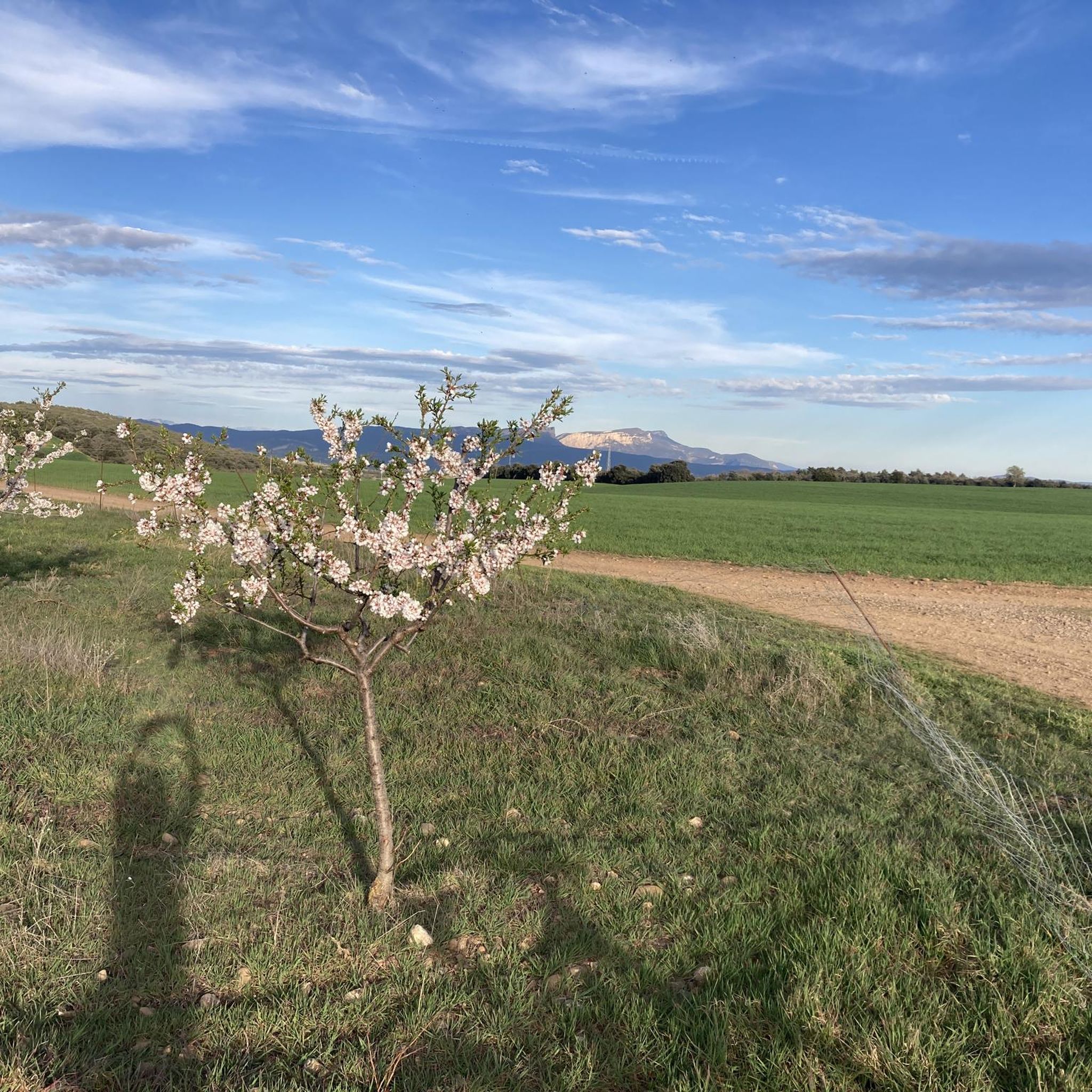
A place with stunning views: the Pyrenees to the north, Montsec to the east, La Litera to the south, and the Sierra de la Carrodilla and the Somontano to the west. You'll enjoy a spot where stopping is truly worthwhile, and the view stretches as far as the eye can see.
0
0


Benabarre, with its castle rising above the town, creates an unmistakable image in the Aragonese Pre-Pyrenees. Benabarre was the old capital of the Ribagorza county and its medieval fortress served as a border defense as well as a county residence. Although it ended up in a state of ruin, it has been restored in recent decades and is now a symbol of the historical legacy of this town that dates back to Roman times.
0
1
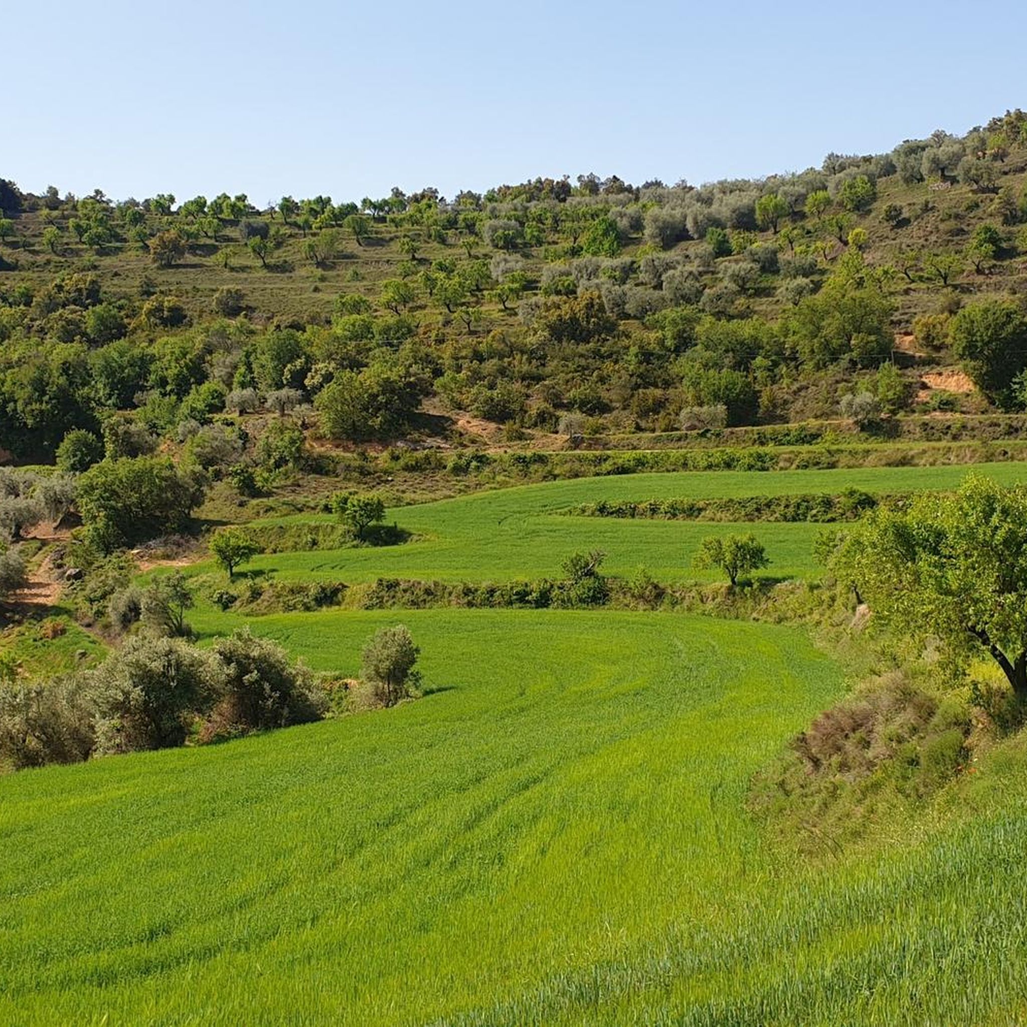
Juseu is a small town located at the top of a hill whose slopes are destined for olive and almond tree plantations. In one of the corners of the town center there is a viewpoint with beautiful views of the valley.
1
0

Juseu is a small hamlet embedded in the rock and surrounded by terraces planted with olive and almond trees. Being located on the hillside, it is a perfect balcony to contemplate the panoramic view of the valley.
0
0

Access point to the Castle and Church (in the image) by stairs. Numerous battles were fought in the castle of Benabarre and it was demolished at the beginning of the 17th century and reused in the 19th century with new executions, remaining active in the Catalan and Carlist wars. Due to these war conflicts, it was rebuilt to transform it into a rifle fort. Today it looks more like a 19th century fort, although it retains older walls from when it was the castle-palace of the counts of Ribagorza. Thus, it is a monumental complex of a single enclosure where all the transformations of the property parallel to the historical ups and downs are integrated. It is located at the top of the town and is visible from several points in the area. It is made up of the Romanesque church and the fortress, dating from the 12th century. It consists of two enclosures, an upper one, older and with a Muslim layout, of which there are walls at the base of the rock on which it sits, as well as the base of a quadrangular tower.
3
0

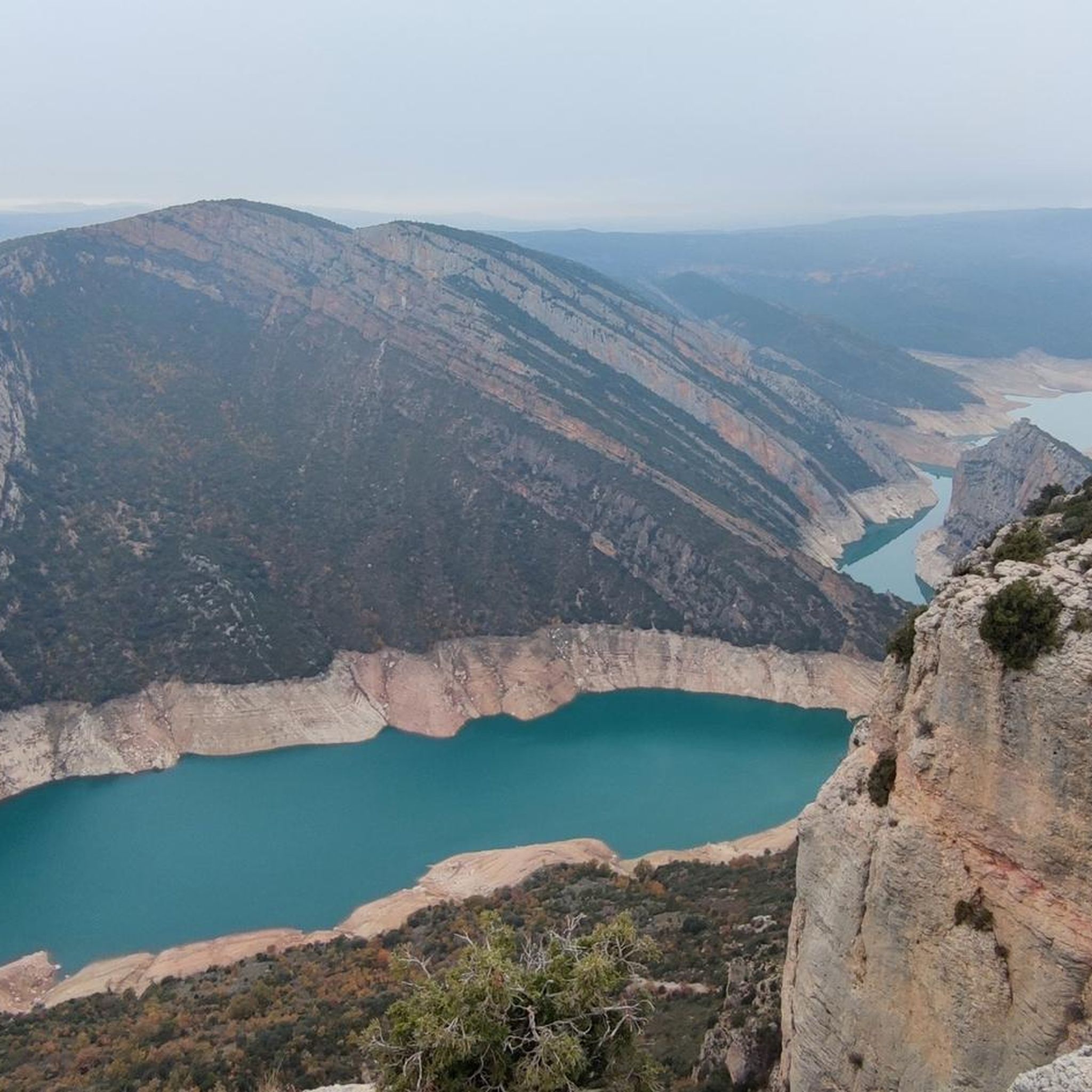
From this part of the track you can enjoy an incredible view of Montsec d'Ares and Montsec de Rubies. This is the central part of the Montsec mountain range, which stretches between the cliffs of Montrebei in the west and Terradets in the east.
1
0
Access point to the Castle and Church (in the image) by stairs. Numerous battles were fought in the castle of Benabarre and it was demolished at the beginning of the 17th century and reused in the 19th century with new executions, remaining active in the Catalan and Carlist wars. Due to these war conflicts, it was rebuilt to transform it into a rifle fort. Today it looks more like a 19th century fort, although it retains older walls from when it was the castle-palace of the counts of Ribagorza. Thus, it is a monumental complex of a single enclosure where all the transformations of the property parallel to the historical ups and downs are integrated. It is located at the top of the town and is visible from several points in the area. It is made up of the Romanesque church and the fortress, dating from the 12th century. It consists of two enclosures, an upper one, older and with a Muslim layout, of which there are walls at the base of the rock on which it sits, as well as the base of a quadrangular tower.
1
0
Frequently Asked Questions
What are the difficulty levels of running trails in Sierra De La Carrodilla?
The running trails in Sierra De La Carrodilla offer a range of difficulties. You'll find 3 moderate routes and 2 difficult routes, providing options for various fitness levels. There are currently no easy routes listed.
What is the typical length and duration of running routes in Sierra De La Carrodilla?
Running routes in Sierra De La Carrodilla vary in length and duration. You can find shorter loops like the Running loop from Estaña at 7.6 km, which takes about 1 hour, up to longer, more challenging trails such as the Laguna grande de Estaña loop from Antenza, spanning over 20 km and taking around 2 hours 30 minutes.
Are there any family-friendly running trails in Sierra De La Carrodilla?
While specific 'family-friendly' designations aren't provided, the region's moderate routes, characterized by rolling hills and agricultural plains, could be suitable for families with some running experience. Consider routes with less elevation gain for a more relaxed outing.
What kind of scenery can I expect on the jogging routes in Sierra De La Carrodilla?
Jogging in Sierra De La Carrodilla offers diverse scenery, including rolling hills, expansive agricultural plains, and areas with historical significance. Many paths lead past water bodies like reservoirs and lagoons, such as the Embalse del Molino del Truco loop from Peralta de Calasanz, providing picturesque views.
Are there any circular running routes available?
Yes, many of the running routes in Sierra De La Carrodilla are circular, allowing you to start and end in the same location. Examples include the popular Dólmen de San Salvador loop from Benabarre / Benavarri and the San Quílez Hermitage loop from Mas Blanc.
What do other runners enjoy most about jogging in Sierra De La Carrodilla?
The running routes in Sierra De La Carrodilla are highly rated by the komoot community, with an average score of 5.0 stars from over 1 review. Runners often praise the varied terrain, which combines open paths with views of the countryside and historical sites, making for diverse and engaging experiences.
Are there any historical sites or landmarks along the running trails?
Yes, the region is known for its historical significance. For instance, the Dólmen de San Salvador loop from Benabarre / Benavarri takes you past an ancient dolmen. Another route, the San Quílez Hermitage loop from Mas Blanc, leads to a hermitage, offering a glimpse into the area's past.
What is the best season for running in Sierra De La Carrodilla?
Given the region's agricultural landscape and potential for open terrain, spring and autumn are generally ideal for running in Sierra De La Carrodilla. The temperatures are milder, and the natural scenery is often at its most vibrant. Summer can be hot, especially in open areas, so early morning or late evening runs are recommended then.
Are there any running routes that feature water bodies like lakes or reservoirs?
Absolutely. The region is characterized by water features. The Embalse del Molino del Truco loop from Peralta de Calasanz circles a reservoir, offering flat sections and gentle inclines with water views. Additionally, the Laguna grande de Estaña loop from Antenza provides a longer run around a significant lagoon.
How many running routes are available in Sierra De La Carrodilla?
There are 5 distinct running routes available in Sierra De La Carrodilla, offering a variety of distances and difficulty levels for runners to explore.
What should I bring for a run in Sierra De La Carrodilla?
For running in Sierra De La Carrodilla, it's advisable to bring sufficient water, especially on longer routes or during warmer months, as some trails are exposed. Sun protection, appropriate running shoes for varied terrain (including some hilly sections), and a charged phone for navigation are also recommended.
Most popular routes in Sierra De La Carrodilla

Get inspired with the komoot mobile app


Explore more
Browse the best Running Trails & Routes in other regions.
