The best walks and hikes in Sierra De La Carrodilla
4.2
(44)
261
hikers
16
hikes
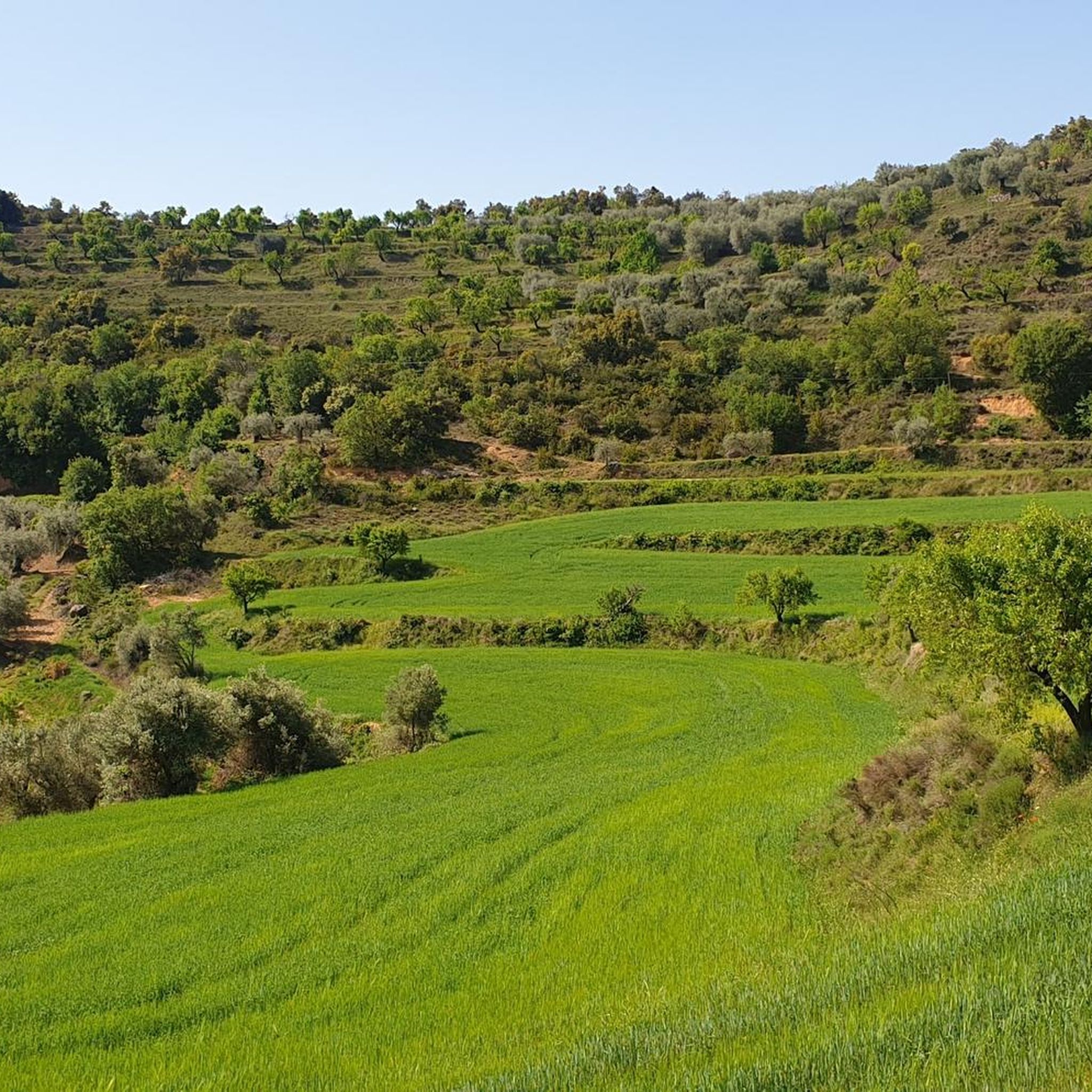
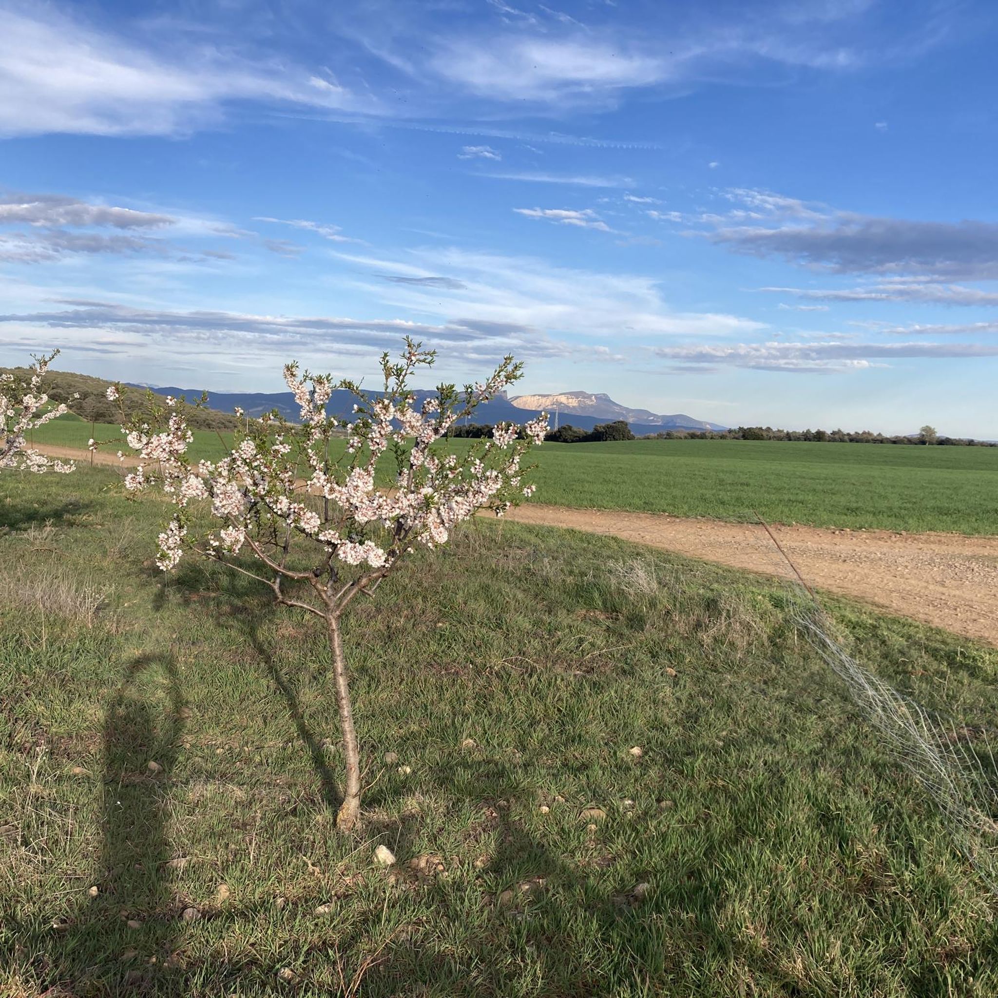
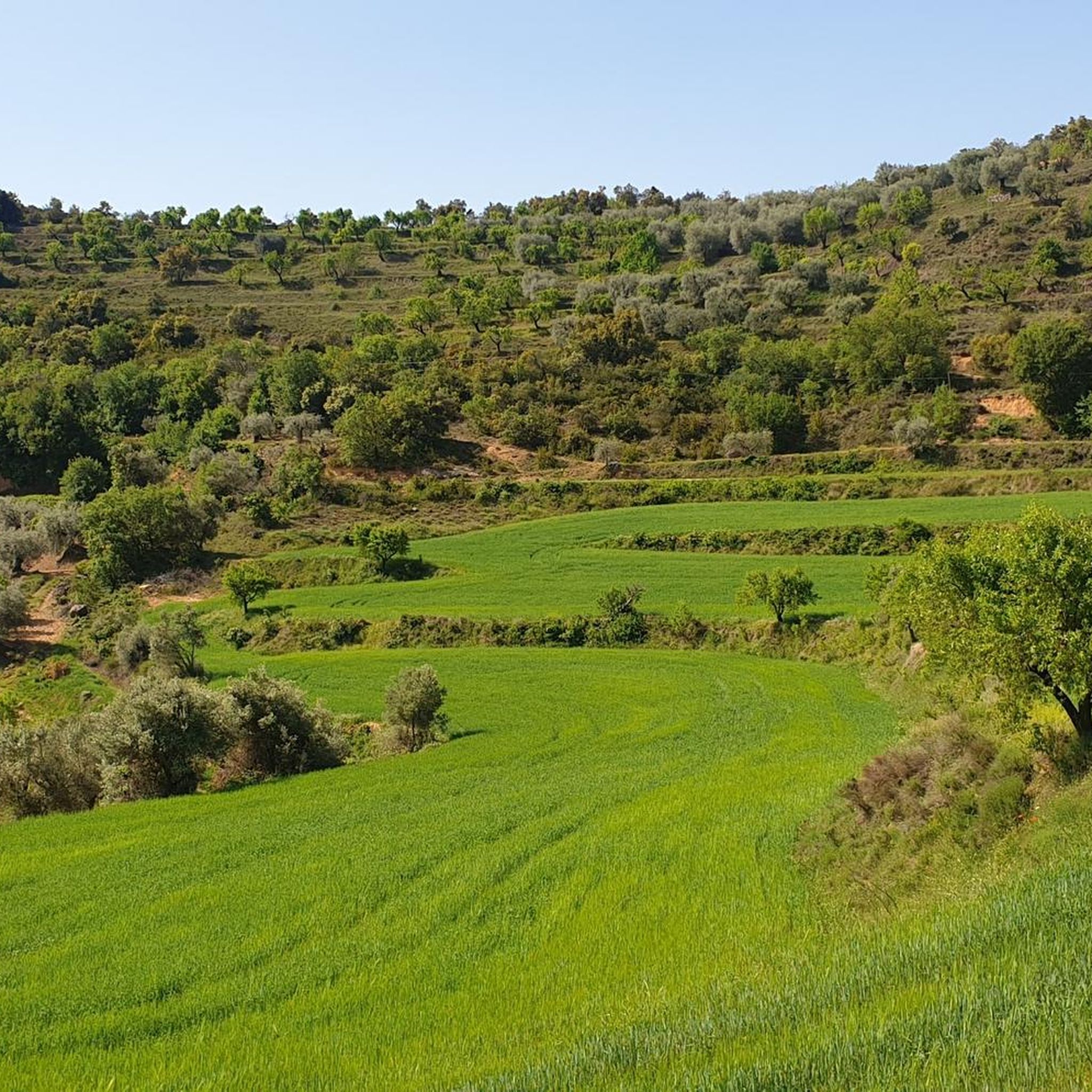
Hiking in Sierra De La Carrodilla, located in the Aragonese Pre-Pyrenees, offers varied landscapes shaped by its distinctive limestone geology. The region features numerous barrancos (ravines) and subterranean chasms, alongside robust forests of oaks and holm oaks. Pico Buñero, the highest point at 1108 meters, provides expansive views of the Cinca and Ésera valleys. This area is known for its rich biodiversity and diverse natural features, making it a compelling destination for outdoor activities.
Best hiking trails in Sierra De…
Last updated: May 12, 2026
4.8
(6)
14
hikers
12.1km
03:21
210m
210m
Moderate hike. Good fitness required. Easily-accessible paths. Suitable for all skill levels.
4.0
(6)
11
hikers
13.3km
03:46
280m
290m
Moderate hike. Good fitness required. Easily-accessible paths. Suitable for all skill levels.

Sign up for free
4.7
(6)
20
hikers
5.51km
01:33
120m
120m
Easy hike. Great for any fitness level. Easily-accessible paths. Suitable for all skill levels.
4.5
(2)
7
hikers
9.36km
02:36
170m
170m
Moderate hike. Good fitness required. Easily-accessible paths. Suitable for all skill levels.
5.0
(4)
12
hikers
3.14km
00:53
70m
70m
Easy hike. Great for any fitness level. Easily-accessible paths. Suitable for all skill levels.
Get access to more routes and recommendations from other explorers.
Sign up for free
Already have an account?
Our route recommendations are based on thousands of hikes, rides, and runs completed by other people on komoot.
Start today with a free account
Your next adventure awaits.
Login or Signup

Tips from the Community


The San Medardo park belongs to the municipality of Benabarre and is one of the most popular green areas near the town. San Medardo is the patron saint of Benabarre and here there is a hermitage in his honor. There is also an area with picnic areas and barbecues.
2
0
Benabarre, with its castle rising above the town, creates an unmistakable image in the Aragonese Pre-Pyrenees. Benabarre was the old capital of the Ribagorza county and its medieval fortress served as a border defense as well as a county residence. Although it ended up in a state of ruin, it has been restored in recent decades and is now a symbol of the historical legacy of this town that dates back to Roman times.
0
1

Access point to the Castle and Church (in the image) by stairs. Numerous battles were fought in the castle of Benabarre and it was demolished at the beginning of the 17th century and reused in the 19th century with new executions, remaining active in the Catalan and Carlist wars. Due to these war conflicts, it was rebuilt to transform it into a rifle fort. Today it looks more like a 19th century fort, although it retains older walls from when it was the castle-palace of the counts of Ribagorza. Thus, it is a monumental complex of a single enclosure where all the transformations of the property parallel to the historical ups and downs are integrated. It is located at the top of the town and is visible from several points in the area. It is made up of the Romanesque church and the fortress, dating from the 12th century. It consists of two enclosures, an upper one, older and with a Muslim layout, of which there are walls at the base of the rock on which it sits, as well as the base of a quadrangular tower.
3
0

Picnic area, fountain and beautiful hermitage.
1
1
Quiet path parallel to a river with several waterfalls and natural pools. Here it is advisable to go more slowly with the bike due to the possibility of having families on the road, it can be avoided by doing a small section along the parallel road.
1
0
Access point to the Castle and Church (in the image) by stairs. Numerous battles were fought in the castle of Benabarre and it was demolished at the beginning of the 17th century and reused in the 19th century with new executions, remaining active in the Catalan and Carlist wars. Due to these war conflicts, it was rebuilt to transform it into a rifle fort. Today it looks more like a 19th century fort, although it retains older walls from when it was the castle-palace of the counts of Ribagorza. Thus, it is a monumental complex of a single enclosure where all the transformations of the property parallel to the historical ups and downs are integrated. It is located at the top of the town and is visible from several points in the area. It is made up of the Romanesque church and the fortress, dating from the 12th century. It consists of two enclosures, an upper one, older and with a Muslim layout, of which there are walls at the base of the rock on which it sits, as well as the base of a quadrangular tower.
1
0
Frequently Asked Questions
What kind of terrain can I expect when hiking in Sierra De La Carrodilla?
Sierra De La Carrodilla is characterized by its distinctive limestone geology, which has created a varied landscape. You'll find winding forms, deep barrancos (ravines), and subterranean chasms. The trails often pass through robust forests of oaks, savins, and holm oaks, offering a mix of shaded paths and open vistas.
Are there any easy hiking trails suitable for beginners or families in Sierra De La Carrodilla?
Yes, Sierra De La Carrodilla offers several easy routes. For example, the Sosa Waterfalls loop from Cascadas del Sosa is an easy 3.4-mile (5.5 km) trail that takes about 1 hour 33 minutes to complete, leading you through the natural beauty of the waterfalls. There are 8 easy routes available in total.
What are some notable natural features or landmarks to look out for on the trails?
The region is rich in geological wonders. You can explore barrancos like Chardiz and Las Covas, or discover caves such as Cueva del Aigua. The Congosto de Olvena, a gorge carved by the Ésera River, offers impressive panoramic views, especially from the nearby Puente del Diablo. For expansive views, consider routes that ascend towards Pico Buñero, the highest point in the sierra.
Can I find circular hiking routes in Sierra De La Carrodilla?
Yes, many of the trails in Sierra De La Carrodilla are circular, allowing you to start and end at the same point. An example is the Embalse del Molino del Truco loop from Gabasa, a moderate 5.8-mile (9.4 km) route that takes around 2 hours 36 minutes.
What kind of wildlife might I encounter while hiking?
Sierra De La Carrodilla is a haven for birdwatchers, with species like griffon vultures, red kites, and even bearded vultures soaring overhead. The area's unique limestone caves are also home to specific insect species, such as the *Trapezodirus carrodillae*.
Are there any trails that offer views of castles or historic sites?
Absolutely. The Benabarre – Castillo de Benabarre loop from Benabarre / Benavarri is a popular moderate trail that provides scenic perspectives of the historic Castillo de Benabarre and its surrounding area. This 8.4-mile (13.5 km) route typically takes about 3 hours 46 minutes.
What do other hikers say about the trails in Sierra De La Carrodilla?
The routes in Sierra De La Carrodilla are highly rated by the komoot community, with an average score of 4.2 stars from over 40 reviews. Hikers often praise the varied terrain, the stunning geological formations, and the peaceful natural environment.
How many hiking trails are available in Sierra De La Carrodilla?
There are 16 hiking trails available in Sierra De La Carrodilla, offering a range of experiences from easy strolls to more challenging moderate hikes. There are 8 easy and 8 moderate routes to choose from.
Are there any specific trails that feature waterfalls?
Yes, the Sosa Waterfalls are a notable natural attraction in the region. You can explore them on the Sosa Waterfalls loop from Gabasa, an easy 1.9-mile (3.1 km) trail that can be completed in under an hour.
What is the highest point in Sierra De La Carrodilla and what views does it offer?
The highest point in the sierra is Pico Buñero, reaching an altitude of 1108 meters. From its summit, you can enjoy expansive views of the Cinca and Ésera valleys, and on clear days, even catch a glimpse of the Sierra de Guara and the distant Pyrenees.
What kind of flora can be found along the hiking paths?
The vegetation in Sierra De La Carrodilla includes robust forests of oaks, savins, and holm oaks. The area is also known for its natural truffle growth and features protected boxwood shrubs, historically used for carvings.
Most popular routes in Sierra De La Carrodilla

Get inspired with the komoot mobile app


Explore more
Browse the best Hikes in other regions.
