The 7 Most Amazing Peaks around Oberhonnefeld-Gierend
Best mountain peaks around Oberhonnefeld-Gierend are located in the Westerwald region of Rhineland-Palatinate, Germany. The area features rolling hills, meadows, and forests, with the highest elevation reaching 415 meters. While not traditional mountain peaks, the region offers elevated viewpoints and diverse landscapes for outdoor activities. These locations provide opportunities for hiking and exploring the natural beauty of the area.
Best mountain peaks around Oberhonnefeld-Gierend
- The most popular mountain peaks is Bärenkopp summit cross – View of Waldbreitbach, a summit…
Last updated: July 1, 2026
Malberg Summit
Highlight • Summit
Translated by Google •
Tip by

Bärenkopp summit cross – View of Waldbreitbach
Highlight • Summit
Translated by Google •
Tip by
Sign up now to discover places like this
Get recommendations on the best single tracks, peaks, & plenty of other exciting outdoor places.
Sign up for free
WällerTour Bärenkopp
Highlight (Segment) • Trail
Translated by Google •
Tip by

View from Roßbacher Häubchen
Highlight • Viewpoint
Translated by Google •
Tip by

Dernbacher Kopf
Highlight • Summit
Translated by Google •
Tip by

Sign up for free to discover even more peaks around Oberhonnefeld-Gierend.
Sign up for free
Already have an account?
Start today with a free account
Your next adventure awaits.
Login or Signup
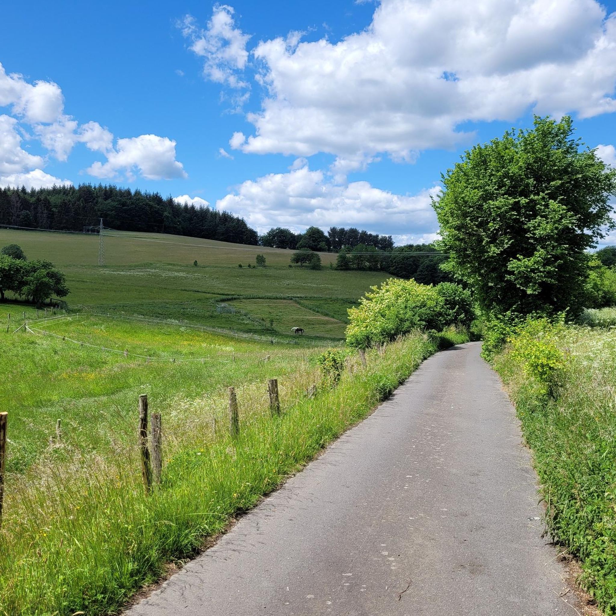
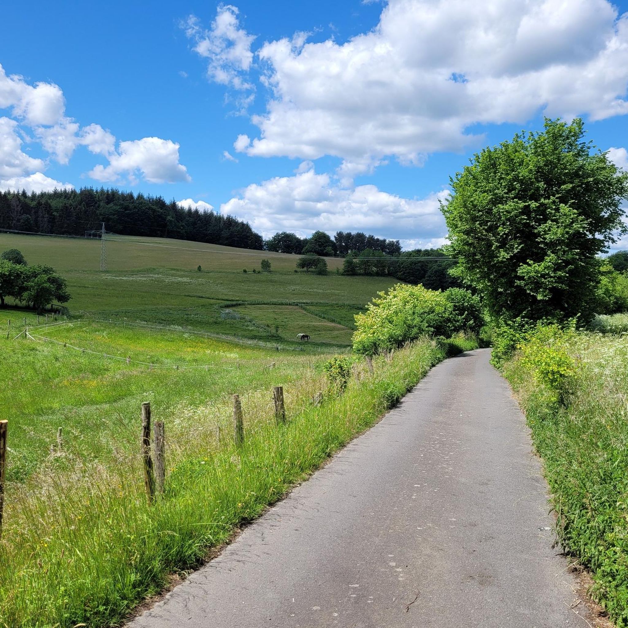
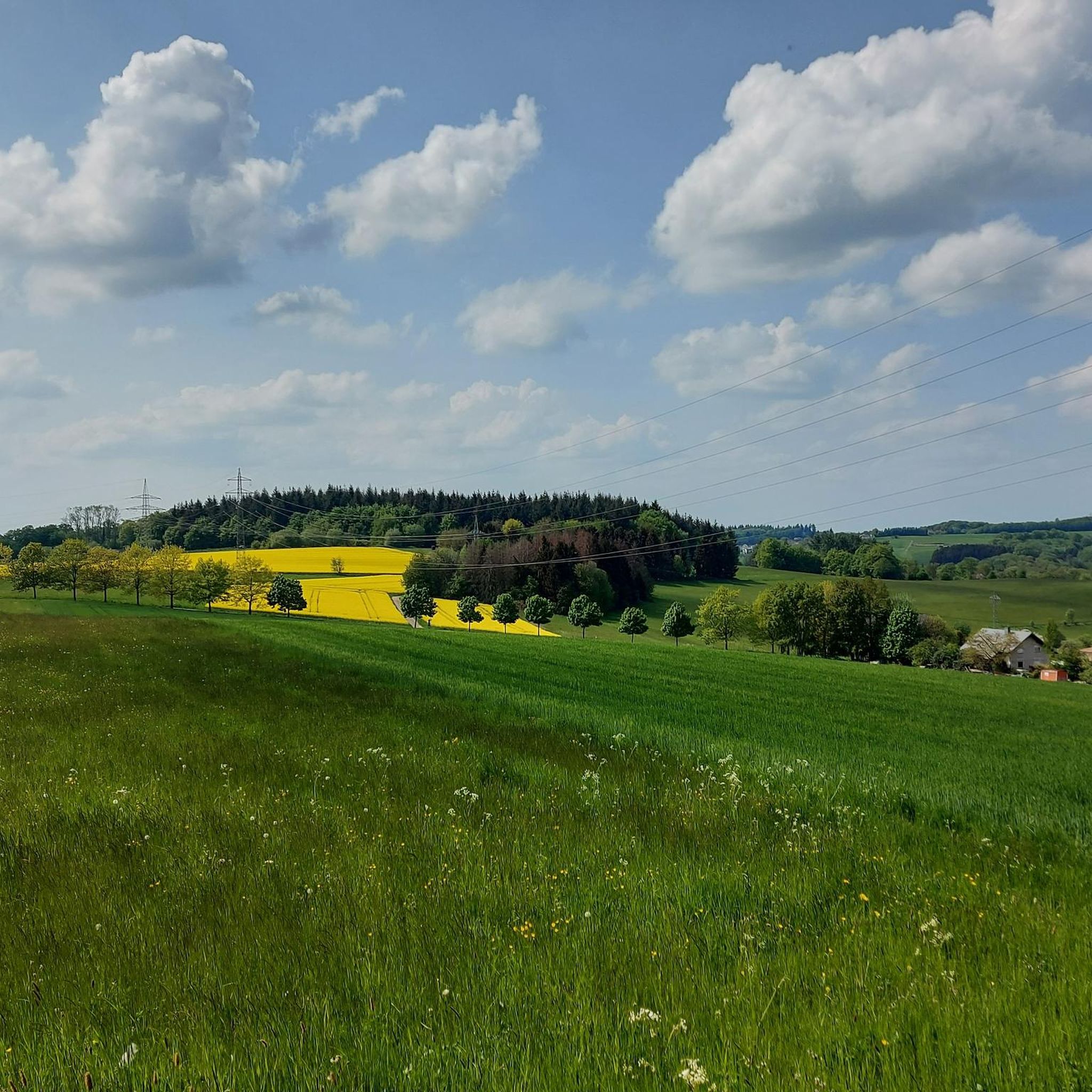
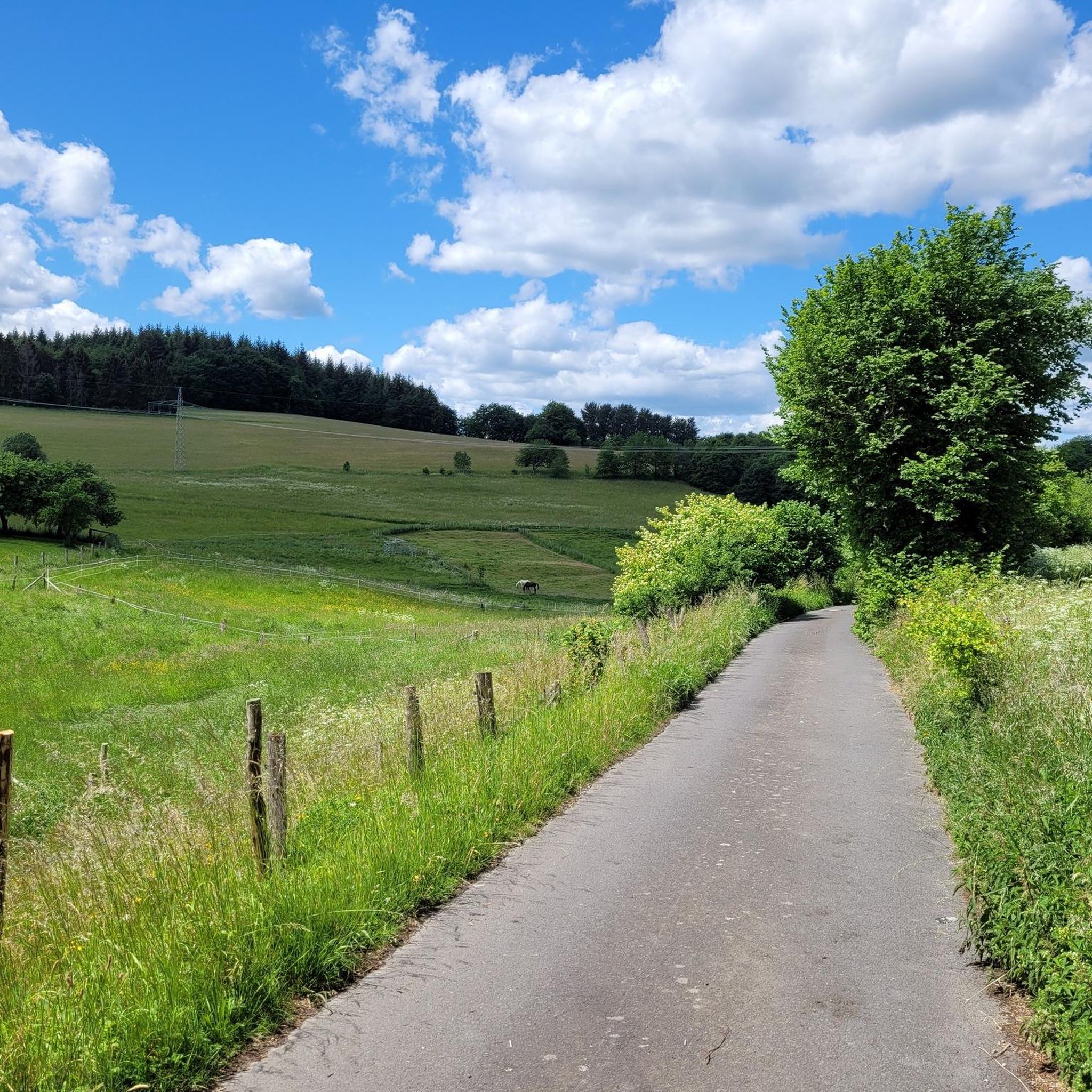
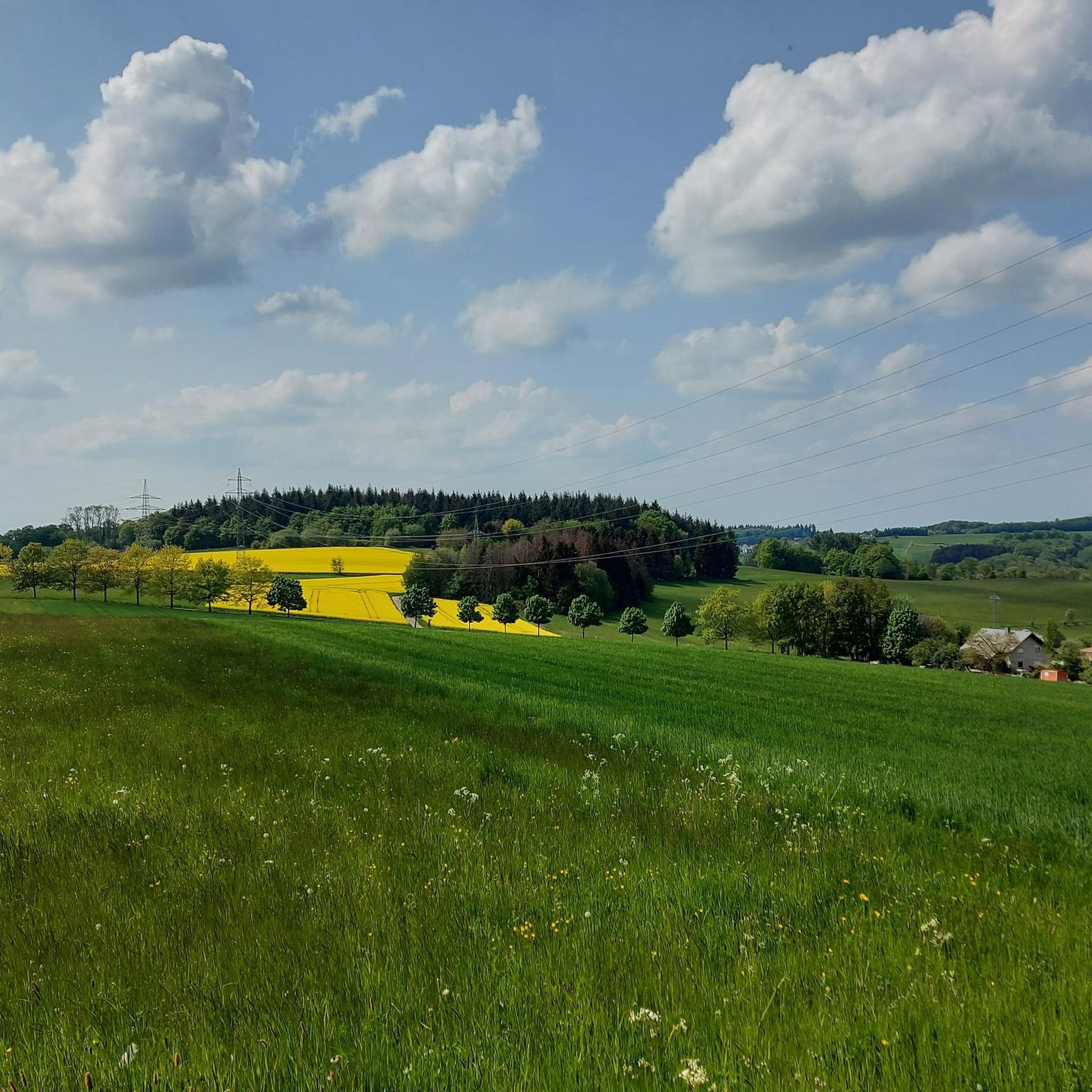
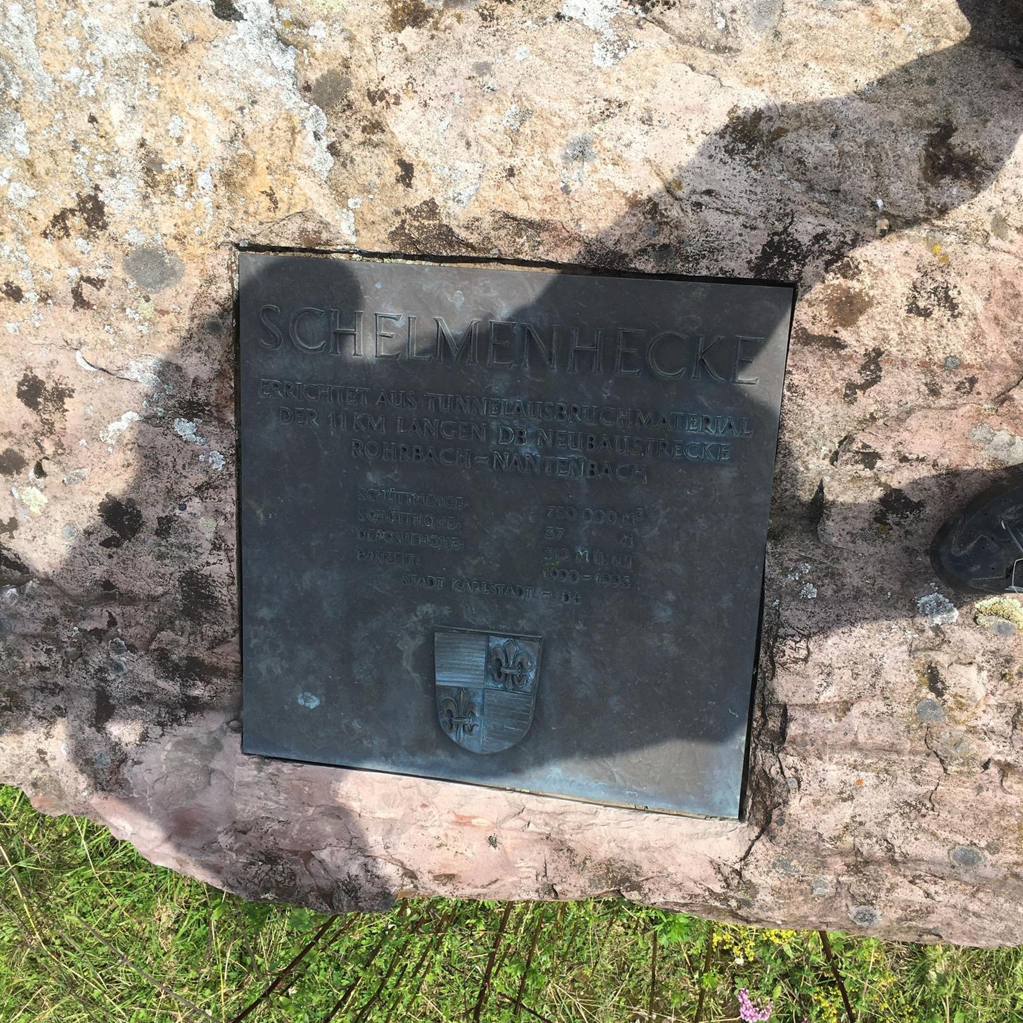
Tips from the Community

The Dernbacher Kopf is the second highest elevation in the Neuwied district. A visit to the summit stone is always worth a visit. The surrounding area offers beautiful views toward the Montabaurer Höhe or the Eifel Mountains.
0
0

This information is really helpful for who really needs this. I hope you will many more write post like this.. https://www-sunpass.com
0
0

The highest point on the Dernbacher Kopf. There is no great view from this point, but this spot is marked with a summit stone with an inscription.
0
0

There are two ways to the summit (Bärenkopp), I chose the steep route. A bit of a challenge, but I'm happy to have made it.
4
0

Highest point in the region, amazing how much forest has disappeared here in recent years 🙈
0
0

The Wällertour Bärenkopp is a beautiful, well-marked hiking route that is really worth doing.
5
0

Like all Wäller tours, the Bärenkopp is a great, well-marked circular hiking trail with beautiful views and different conditions along the way.
3
0

Pretty badly affected by the bark beetle and clearing
0
0
Frequently Asked Questions
What are the most popular elevated viewpoints around Oberhonnefeld-Gierend?
For stunning panoramic views, consider visiting Bärenkopp summit cross – View of Waldbreitbach, which offers vistas as far as the Siebengebirge. Another excellent spot is the View from Bertenauer Kopf Shelter, where you can rest and enjoy distant views, also towards the Siebengebirge.
Are there any family-friendly or dog-friendly trails to elevated spots?
Yes, the area offers options suitable for families and dogs. The Malberg Summit is categorized as both family-friendly and dog-friendly, featuring an educational trail and a hut for breaks. The general landscape of rolling hills and forests also provides many accessible paths for leisurely walks.
What kind of hiking trails can I find near these elevated areas?
The region is well-suited for hiking, with various routes through forests and offering wide views. The WällerTour Bärenkopp is a well-marked circuit trail on rustic paths, offering options for both steep and less steep ascents to the summit. Many trails explore the region's historical mining past, such as the 'Erzweg' (Ore Trail).
What is the highest point in the Oberhonnefeld-Gierend area?
The highest point in this specific area is Oernbacher Kopf (427 m). While not a traditional mountain peak, it offers the highest elevation in the immediate vicinity.
Are there any places to eat or rest near the elevated viewpoints?
Yes, near the Malberg Summit, you'll find the Malberg ski hut/hiking hut, which offers a delicious menu, drinks, and a wonderful view. Additionally, the Bertenauer Kopf Shelter provides a refuge for resting and enjoying the distant views.
What natural features can I explore besides the elevated points?
Beyond the viewpoints, you can visit the Laubach Waterfall, which offers an idyllic setting and a scenic natural attraction. The region is also characterized by rolling hills, meadows, and extensive forests, providing diverse natural beauty for exploration.
What historical sites are located near the elevated areas?
History enthusiasts can explore the Ehrenstein Castle Ruins and Monastery. The region also has a history of mining, with trails like the 'Erzweg' showcasing old structures and paths where iron and copper ores were once extracted, such as the Kohlseifenstollen and the 'Grube Georg' headframe.
What other outdoor activities can I do around Oberhonnefeld-Gierend?
Besides exploring elevated points, the area is excellent for cycling. You can find various routes for mountain biking, gravel biking, and touring cycling. For specific routes, check out the guides for MTB Trails around Oberhonnefeld-Gierend, Gravel biking around Oberhonnefeld-Gierend, and Cycling around Oberhonnefeld-Gierend.
What is the typical terrain and difficulty level for hiking in the region?
The terrain around Oberhonnefeld-Gierend consists of rolling hills, meadows, and forests. Hiking routes are generally considered moderate, requiring good basic fitness but suitable for most fitness levels. Paths are typically easily walkable, with elevation changes usually up to 300 meters over a few hours.
What do visitors enjoy most about the elevated spots in Oberhonnefeld-Gierend?
Visitors frequently praise the beautiful views, especially those extending to the Siebengebirge from spots like the Bärenkopp summit cross and the Bertenauer Kopf Shelter. The well-marked and rustic hiking trails, such as the WällerTour Bärenkopp, are also highly appreciated for their scenic beauty and enjoyable experience.
When is the best time to visit Oberhonnefeld-Gierend for outdoor activities?
The region's diverse landscapes, including forests and meadows, are enjoyable throughout the warmer months, typically from spring to autumn. These seasons offer pleasant weather for hiking, cycling, and exploring the viewpoints and natural attractions like the Laubach Waterfall.
Most popular routes around Oberhonnefeld-Gierend
Most popular attractions around Oberhonnefeld-Gierend

Get inspired with the komoot mobile app


Explore more
See even more amazing summits around Oberhonnefeld-Gierend with these guides:
