The best running trails around Oberhonnefeld-Gierend
4.5
(393)
2,788
runners
299
runs
Jogging around Oberhonnefeld-Gierend offers a variety of running routes through diverse landscapes. The region is characterized by its valleys, such as Grenzbachtal and Höllsbach Valley, and features a mix of moderate and more challenging elevations. Runners can expect trails that wind through natural areas, including routes near a natural outdoor pool. The terrain provides options for various fitness levels, from shorter, less strenuous paths to longer, more demanding runs.
Best jogging routes around Oberhonnefeld-Gierend
- The most popular jogging route is Grenzbachtal – Grenzbachtal near Horhausen loop from Willroth, a 7.4 miles (11.9 km) trail that takes 1 hour 16 minutes to complete. This moderate route features a steady elevation gain through the Grenzbachtal valley.
- Another top favourite among local runners is Niederhonnefeld natural outdoor pool – View of the Höllsbach Valley loop from Straßenhaus, a moderate 4.1 miles (6.5 km) path. This route offers views of the Höllsbach Valley and passes by the Niederhonnefeld natural outdoor pool.
- Local runners also love the Grenzbachtal near Horhausen – Grenzbachtal loop from Willroth, an 11.6 miles (18.6 km) trail leading through the Grenzbachtal, often completed in about 2 hours 2 minutes. This difficult route includes significant elevation changes.
- Jogging around Oberhonnefeld-Gierend is defined by varied valley landscapes, natural pools, and a mix of moderate and challenging elevations. The network offers options for different ability levels, from easy jogging routes to advanced running trails.
- The routes in Oberhonnefeld-Gierend are highly rated by the komoot community with an average score of 4.4 stars from over 290 reviews. More than 2500 runners have used komoot to explore Oberhonnefeld-Gierend's varied terrain.
Last updated: May 20, 2026
14
runners
11.9km
01:17
190m
190m
Moderate run. Good fitness required. Mostly paved surfaces. Suitable for all skill levels.
4.0
(1)
6
runners
Moderate run. Good fitness required. Mostly paved surfaces. Suitable for all skill levels.

Sign up for free
5.0
(21)
6
runners
11.3km
01:14
210m
200m
Moderate run. Good fitness required. Mostly paved surfaces. Suitable for all skill levels.
7
runners
18.6km
02:03
270m
270m
Hard run. Very good fitness required. Mostly paved surfaces. Suitable for all skill levels.
5
runners
6.01km
00:40
80m
80m
Moderate run. Good fitness required. Mostly paved surfaces. Suitable for all skill levels.
Get access to more routes and recommendations from other explorers.
Sign up for free
Already have an account?
Our route recommendations are based on thousands of hikes, rides, and runs completed by other people on komoot.
Start today with a free account
Your next adventure awaits.
Login or Signup
Tips from the Community


The pool is never deserted. It's open regularly in the summer. It's worth a visit and nice and refreshing :-)
0
0
Relics from mining in Willroth. Ores were mined in the pit.
0
0

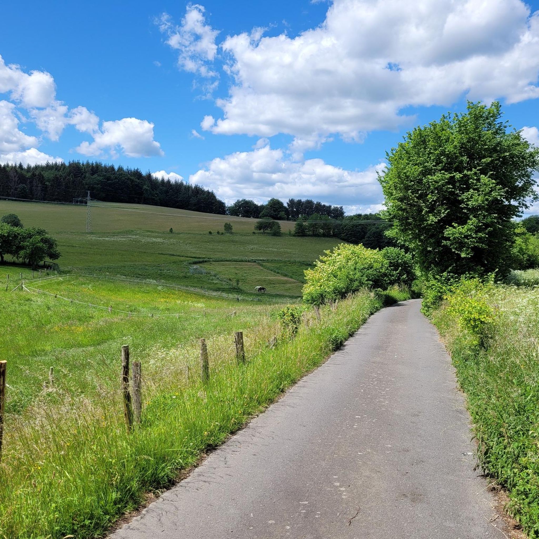
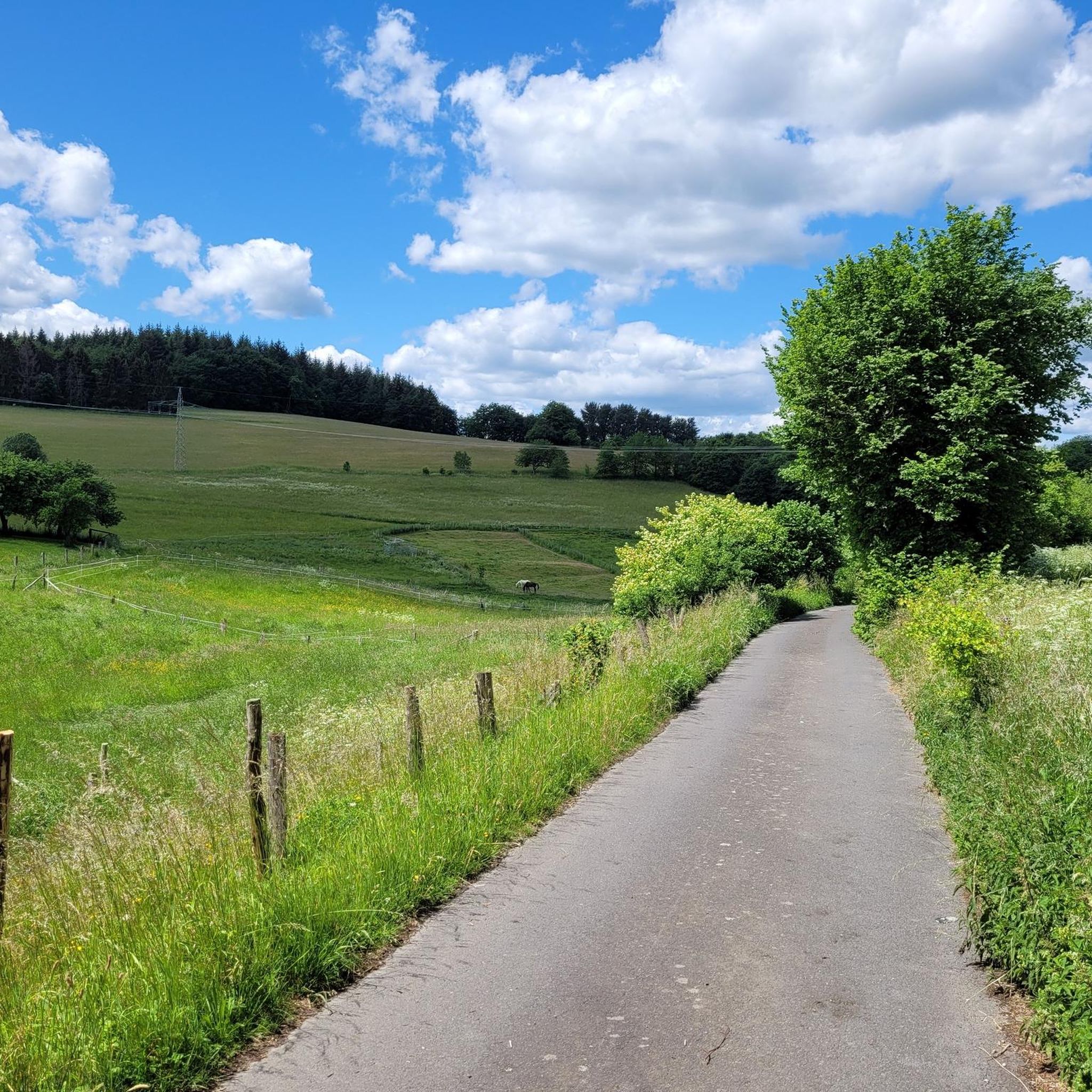
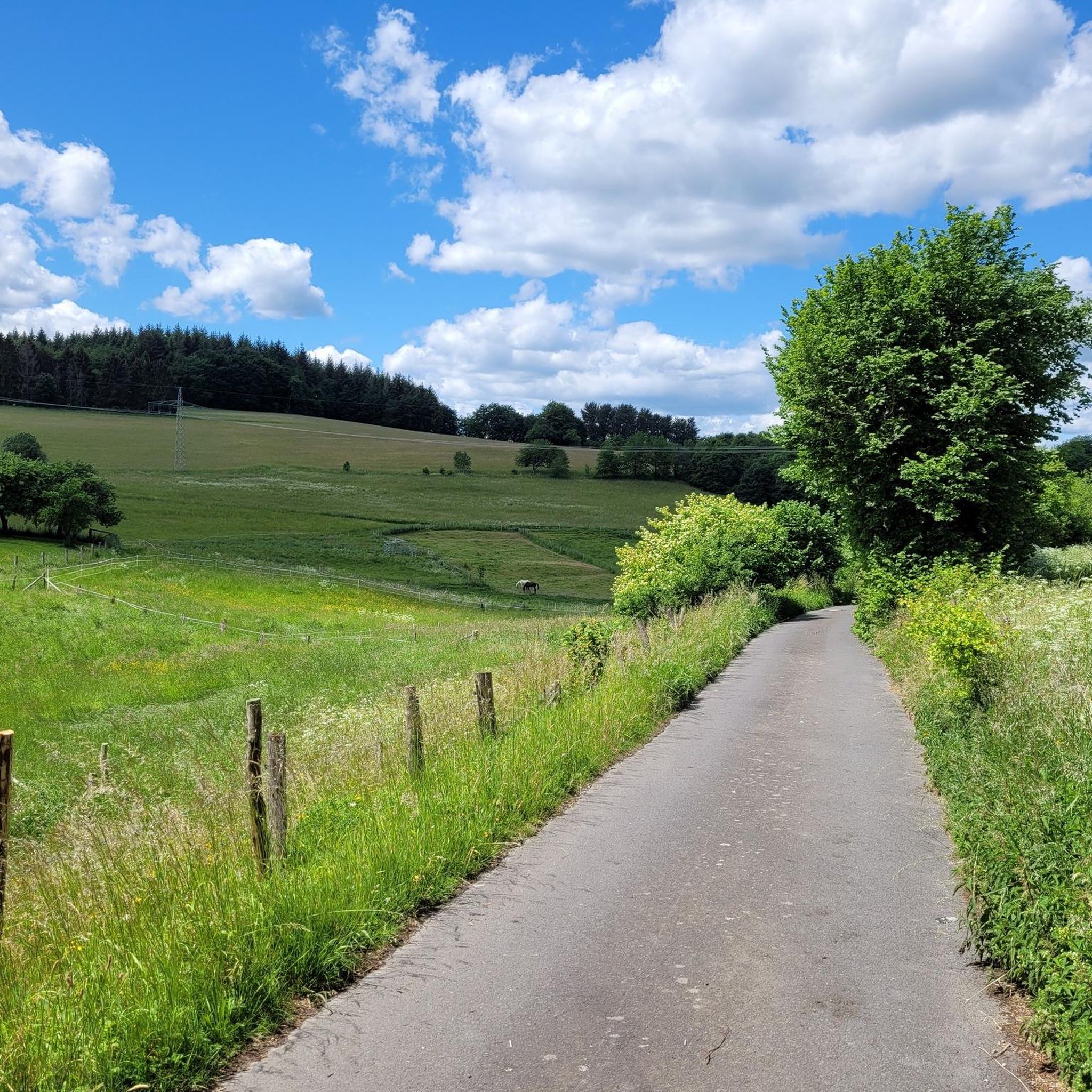
The path through the Grenzbach valley is always a pleasure. You roll on fine gravel through the green landscape and follow the stream. It is so rural here that cows sometimes stand in the middle of the path and have to be pushed to the side.
1
1

Natural swimming pool located in the forest.
0
0

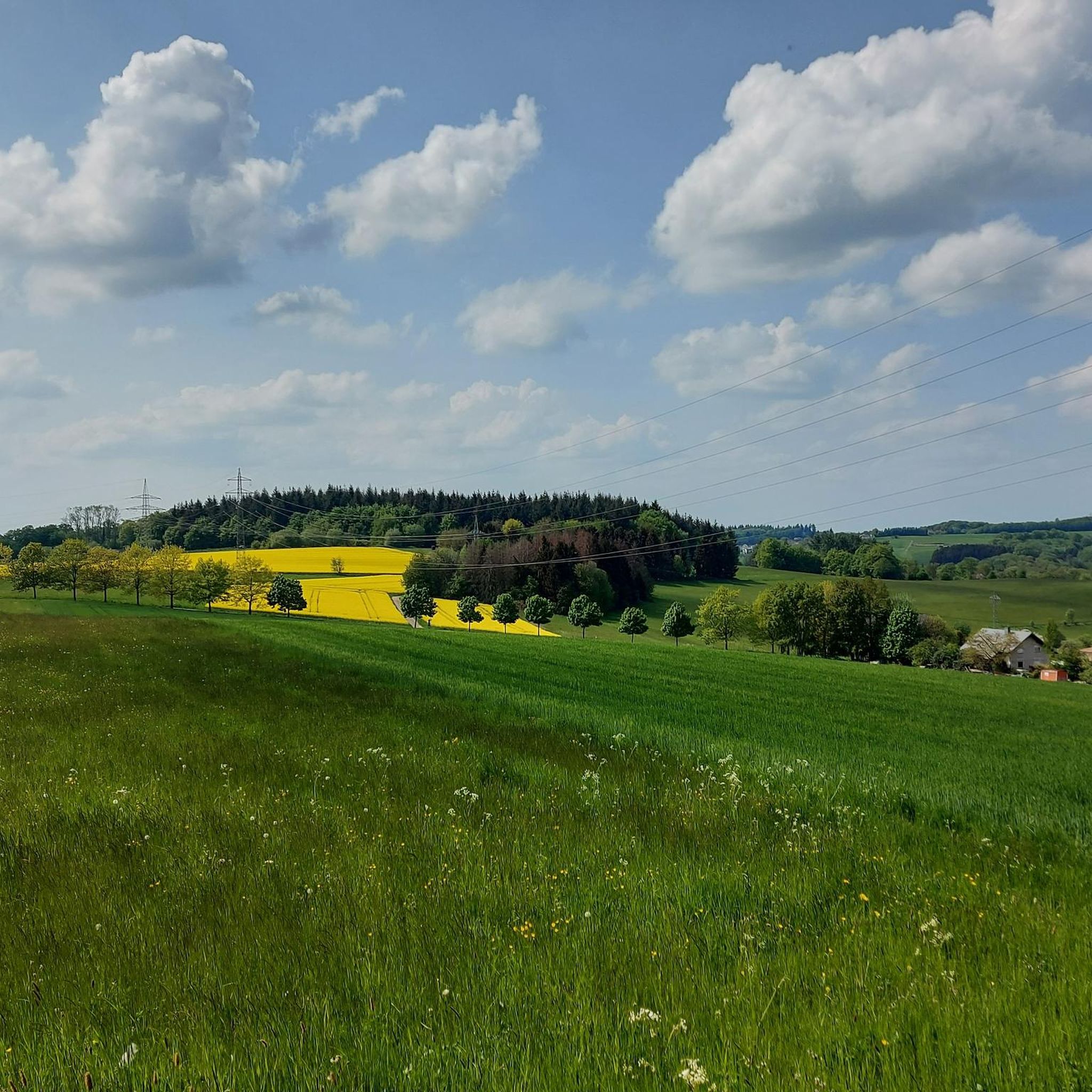
In this idyllic valley you walk along the banks of the river for a while.
2
0

Nice and quiet swimming pool
1
0

Impressive winding tower, visible from afar
0
0
Frequently Asked Questions
How many running routes are available around Oberhonnefeld-Gierend?
There are over 260 running routes around Oberhonnefeld-Gierend, offering a wide variety of options for different fitness levels and preferences. The region's diverse landscapes, including the Grenzbachtal and Höllsbach Valley, provide numerous trails to explore.
Are there easy jogging routes suitable for beginners in Oberhonnefeld-Gierend?
Yes, Oberhonnefeld-Gierend offers a good selection of easy jogging routes, with over 25 trails designed for less strenuous runs. These paths are ideal for beginners or those looking for a relaxed outing through the natural surroundings.
What kind of terrain can I expect on the running trails in this region?
The running trails around Oberhonnefeld-Gierend feature varied terrain, characterized by valleys like the Grenzbachtal and Höllsbach Valley. You'll find a mix of moderate and more challenging elevations, with paths winding through natural areas, including routes near a natural outdoor pool. The landscape provides options for various fitness levels.
Are there any circular running routes in Oberhonnefeld-Gierend?
Many of the running routes in Oberhonnefeld-Gierend are circular, allowing you to start and end at the same point. For example, the Grenzbachtal – Grenzbachtal near Horhausen loop from Willroth is a popular moderate circular trail, and the Niederhonnefeld natural outdoor pool – View of the Höllsbach Valley loop from Straßenhaus also offers a scenic loop.
What are some scenic viewpoints or attractions along the running routes?
While jogging, you can enjoy views of the Höllsbach Valley, particularly along routes like the Niederhonnefeld natural outdoor pool – View of the Höllsbach Valley loop from Straßenhaus. The region is also known for its natural outdoor pool near Niederhonnefeld. Additionally, you might encounter historical sites such as the Alvenslebenstollen or the Lammerichskaule Mine Tunnel, which are part of the area's rich mining history.
Are there any advanced running trails for experienced runners?
Yes, for experienced runners seeking a challenge, Oberhonnefeld-Gierend offers over 50 difficult routes. These trails often feature significant elevation changes and longer distances, such as the Grenzbachtal near Horhausen – Grenzbachtal loop from Willroth, which is 11.6 miles (18.6 km) with substantial climbs.
What do other runners say about jogging in Oberhonnefeld-Gierend?
The running routes in Oberhonnefeld-Gierend are highly rated by the komoot community, with an average score of 4.4 stars from over 290 reviews. Runners often praise the varied valley landscapes, the mix of moderate and challenging elevations, and the natural beauty of the trails, including those near the natural outdoor pool.
Are the running trails in Oberhonnefeld-Gierend suitable for families?
Many of the easier and moderate routes are suitable for families, especially those looking for less strenuous paths. The diverse landscape offers options that can be enjoyed by various age groups, allowing families to find trails that match their comfort and fitness levels.
Is there parking available near the jogging trailheads?
While specific parking details vary by trailhead, many popular starting points for running routes in Oberhonnefeld-Gierend, especially in and around towns like Willroth or Straßenhaus, typically offer designated parking areas for outdoor enthusiasts. It's advisable to check the route details on komoot for specific parking information for your chosen trail.
Can I access the running routes using public transport?
Access to running routes via public transport in Oberhonnefeld-Gierend can be possible, particularly for trails starting near villages or towns with bus connections. However, the region is more rural, so public transport options might be limited for some trailheads. Checking local bus schedules and route starting points is recommended.
Are there any running routes that pass by cafes or places to get refreshments?
While the trails primarily focus on natural landscapes, some routes may pass through or near villages where cafes or local eateries are available. For example, routes starting or ending in larger communities like Straßenhaus or Willroth might offer opportunities for refreshments. It's a good idea to check the map for amenities along your chosen route.
What is the best time of year to go running in Oberhonnefeld-Gierend?
Oberhonnefeld-Gierend offers enjoyable running conditions throughout much of the year. Spring and autumn provide pleasant temperatures and beautiful scenery with changing foliage. Summer is also popular, especially for routes that offer shade or pass by water features like the Niederhonnefeld natural outdoor pool. Winter running is possible, but trails might be icy or muddy, so appropriate gear is essential.
Most popular routes around Oberhonnefeld-Gierend
Most popular attractions around Oberhonnefeld-Gierend

Get inspired with the komoot mobile app


Explore more
Browse the best Running Trails & Routes in other regions.
