The best road cycling routes in Foresta Demaniale Del Marganai
4.8
(62)
1,360
riders
65
rides
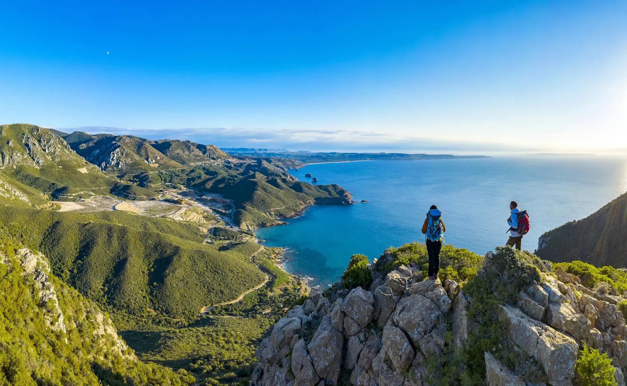
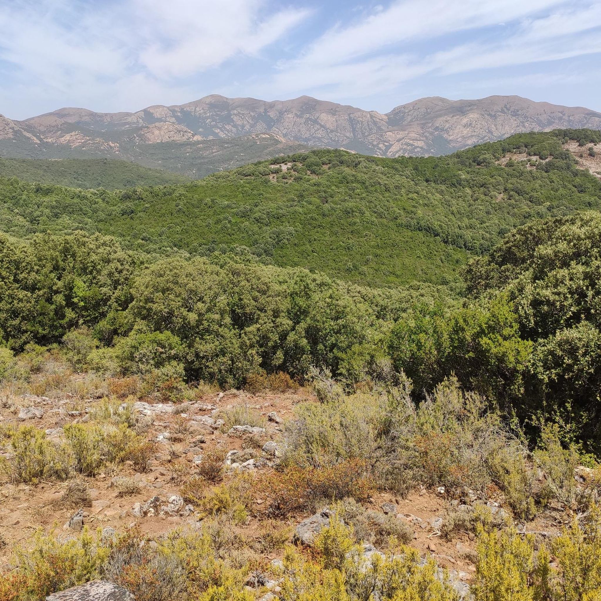
Road cycling routes in Foresta Demaniale Del Marganai traverse a mountainous landscape in Sardinia, characterized by elevations ranging from 200 to 1,000 meters. The terrain features ancient limestone and schist rocks, creating varied topography with "tormented" peaks. Lush forests of holm oaks and reforested pines, interspersed with dense Mediterranean scrub, define the scenic backdrop for cycling. This region offers a network of roads that blend natural features with historical sites, providing diverse challenges for road cyclists.
Best road cycling routes…
Last updated: July 8, 2026
20
riders
166km
08:21
2,350m
2,350m
Hard road ride. Very good fitness required. Some segments of this route may be unpaved and difficult to ride.
8
riders
45.9km
02:51
960m
960m
Hard road ride. Very good fitness required. Mostly well-paved surfaces and easy to ride.

Sign up for free
5.0
(1)
10
riders
Easy road ride. Great for any fitness level. Mostly well-paved surfaces and easy to ride.
4.5
(2)
36
riders
Moderate road ride. Good fitness required. Some segments of this route may be unpaved and difficult to ride.
6
riders
135km
06:46
1,910m
1,910m
Hard road ride. Very good fitness required. Some segments of this route may be unpaved and difficult to ride.
Get access to more routes and recommendations from other explorers.
Sign up for free
Already have an account?
Our route recommendations are based on thousands of hikes, rides, and runs completed by other people on komoot.
Start today with a free account
Your next adventure awaits.
Login or Signup
Popular around Foresta Demaniale Del Marganai
Other adventures in Foresta Demaniale Del Marganai

Tips from the Community

Not an oak but a centuries-old pine, known as Sa Matta Manna De Su Cumpingiu. The tree died about five years ago, knocked down by a strong wind. Sadly, the park is not currently maintained and the majestic tree is barely visible.
1
0
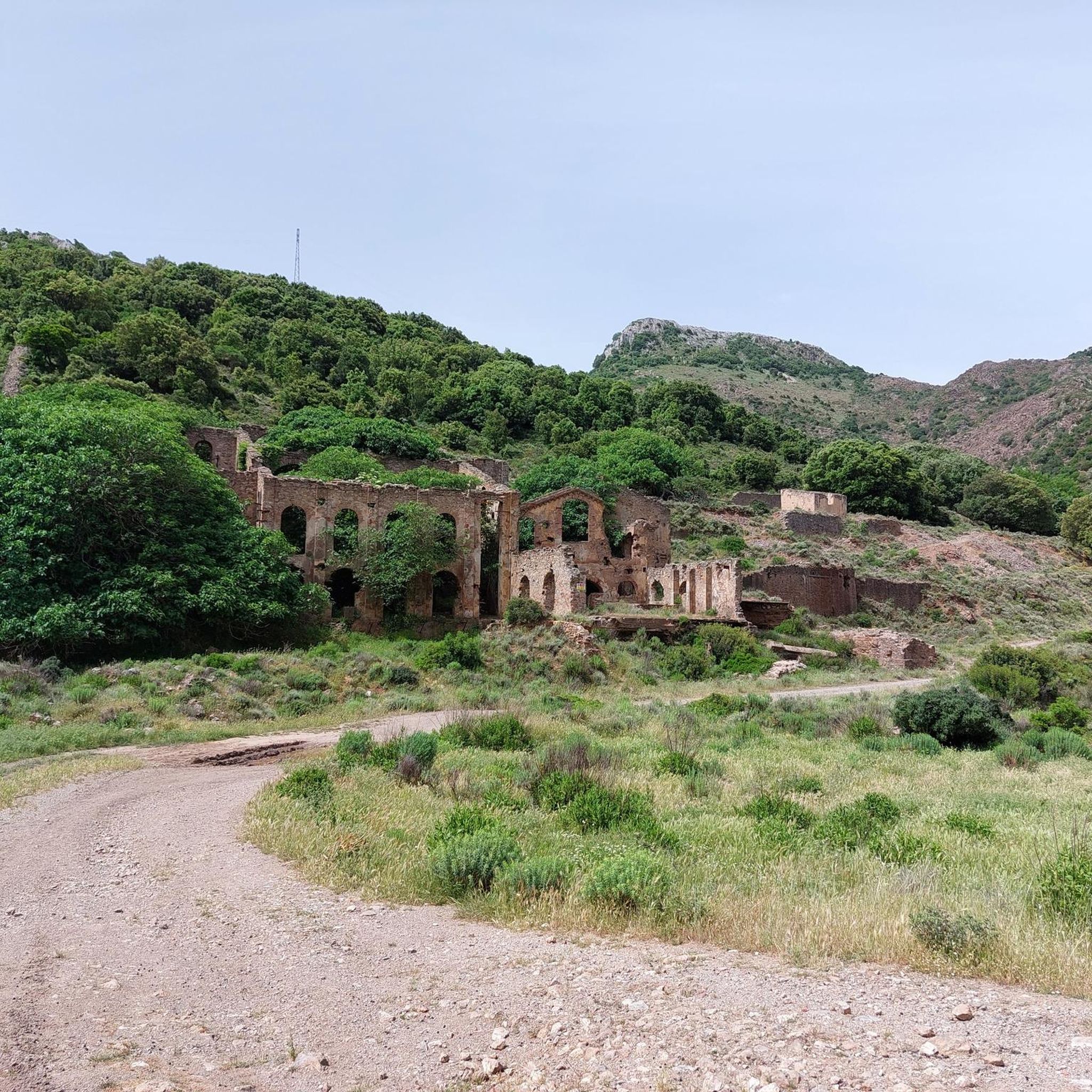
Found by chance in a dwelling in Monte Agruxiau, it represents a scene of mining life as many have been lived in this area.
1
0

Excellent place to rest after the climb from Flumini Maggiore, before going downhill and partially on gravel among the cork trees
0
0

The evocative Grotta di San Giovanni is a geological and archaeological treasure, as well as the longest vehicle-accessible cave in the world. The cave is accessible from two sides, but the ticket office and information point are located at the main, southern entrance. Entrance is permitted only during cave opening hours. Ticket prices vary depending on the type of visit. You can find all the latest information on the website: https://www.grottasangiovanni.com/.
1
0
Part of the Candiazzus mine, visible from the road and accessible via a narrow dirt road on the right (coming from Iglesias). The Paris shaft is located on the main construction site, which also includes the tunnel and some disused and dilapidated buildings. The shaft was approximately 100 meters deep and takes its name from the plain where the "Su Paris de S'arru" mine is located; lead and zinc were extracted there.
1
0
In the distance, beyond the first bend, after abandoning the few remaining houses, you can see a church, the church of Sant'Angelo, on which you can see two dates (1734 and 1914), the dates of construction and renovation of the church.
1
0
The mountain village of Sant'Angelo was founded with the founding of Fluminimaggiore (of which it is a hamlet) in the early 1700s. It consists of a few houses, scattered throughout a lush surrounding woodland, and charming but abandoned villas. In the second half of the 19th century, the village was part of an area (representing the largest agricultural and pastoral estate in Sardinia) known as "Sa Tanca de Modigliani." The associated mining activity brought Emanuele and Flaminio Modigliani (grandfather and father, respectively, of the artist Amedeo Modigliani) to the area, making it plausible that Amedeo frequented it.
1
0
At 549 meters above sea level, the Genna Bogai Pass is one of the most scenic passes in the area. Reaching the summit is easier and shorter from Iglesias (about 10 km and 380 m of elevation gain) than from Fluminimaggiore (about 12 km and 500 m of elevation gain), but it's a beautiful climb regardless of your starting point. The road has little traffic, but caution is required due to the numerous sharp bends behind which vehicles, as well as herds of sheep and cows roaming freely, can hide!
1
0
Frequently Asked Questions
What kind of terrain can I expect when road cycling in Foresta Demaniale Del Marganai?
Foresta Demaniale Del Marganai offers a mountainous landscape with elevations ranging from 200 to 1,000 meters. You'll encounter ancient limestone and schist rocks, creating varied topography with 'tormented' peaks. The routes often feature significant elevation gains and challenging ascents, winding through lush forests of holm oaks and reforested pines, interspersed with dense Mediterranean scrub. Expect a blend of natural beauty and historical insights, with some coastal roads offering panoramic sea views.
How many road cycling routes are available in Foresta Demaniale Del Marganai?
There are over 60 road cycling routes available in Foresta Demaniale Del Marganai, catering to various skill levels. This includes 12 easy routes, 29 moderate routes, and 20 difficult routes, ensuring options for both casual riders and those seeking a challenge.
Are there any particularly challenging road cycling routes in the region?
Yes, the region is known for its demanding rides. A notable example is the San Giovanni Cave – The Temple of Antas loop from Mamenga, a difficult 105.8-mile (170.3 km) route with over 2,400 meters of elevation gain. Another challenging option is the Bidderdi Pass (492 m) – Pan di Zucchero Sea Stack loop from Iglesias, which covers 142.4 km with over 2,500 meters of climbing.
What are some natural features or landmarks I can see along the road cycling routes?
Road cycling routes in Foresta Demaniale Del Marganai often pass by significant natural and historical sites. You might encounter the unique Su Mannau Cave, an ancient Roman Quarry, or the impressive Temple of Antas. The region's mining heritage is also visible, with old industrial archaeology and historical sites dotting the landscape.
What is the best time of year for road cycling in Foresta Demaniale Del Marganai?
Sardinia generally offers good cycling weather year-round. Spring-like conditions are common even during colder months, making it an attractive destination outside of the peak summer heat. This allows for comfortable riding and exploration of the diverse terrain and historical sites.
Are there any family-friendly road cycling options in Foresta Demaniale Del Marganai?
While many routes feature significant elevation, there are easier options available. For instance, the Quintino Sella Square – San Giovanni Cave loop from Monte Figu is an easy 18.5-mile (29.8 km) trail that leads through varied terrain, suitable for those looking for a less strenuous ride.
What do other road cyclists enjoy most about road cycling in Foresta Demaniale Del Marganai?
The area is highly rated by the komoot community, with an average score of 4.8 stars from over 46 reviews. Cyclists often praise the diverse terrain, the stunning vistas, and the quiet, less-trafficked roads, especially along the wild west coast. The combination of challenging climbs, breathtaking natural beauty, and a journey through historical landscapes is frequently highlighted.
Are there any loop road cycling routes available?
Yes, many routes in Foresta Demaniale Del Marganai are designed as loops, allowing you to start and end at the same point. Examples include the Scenic Descent to Buggerru – Bidderdi Pass (492 m) loop from Frùmini Majori/Fluminimaggiore and the Iglesiente Mining Coast Loop, which offers a journey through the region's mining heritage.
Where can I find parking for road cycling routes in the area?
While specific parking locations vary by route, many routes start from towns or villages like Mamenga, Frùmini Majori/Fluminimaggiore, Monte Figu, or Iglesias, where public parking is generally available. It's advisable to check the starting point of your chosen route for the most convenient parking options.
Can I find cafes or accommodation near the road cycling trails?
The Sulcis-Iglesiente region, which encompasses Foresta Demaniale Del Marganai, has various towns and villages. These often provide amenities such as cafes, restaurants, and accommodation options. Larger towns like Iglesias or Fluminimaggiore are good places to look for services before or after your ride.
Is it possible to spot wildlife while road cycling in Foresta Demaniale Del Marganai?
The forest is a habitat for diverse wildlife. While cycling, you might spot wild boars, wild cats, hares, and foxes. Sardinian deer and mouflon have been reintroduced in some areas. Keep an eye on the sky for peregrine falcons and, more rarely, golden eagles, especially in the quieter sections of the routes.
Most popular routes in Foresta Demaniale Del Marganai
Most popular attractions in Foresta Demaniale Del Marganai

Get inspired with the komoot mobile app


Explore more
Browse the best Road cycling routes in other regions.
