The best mountain hikes in Kürnacher Wald
4.5
(8)
123
hikers
13
hikes
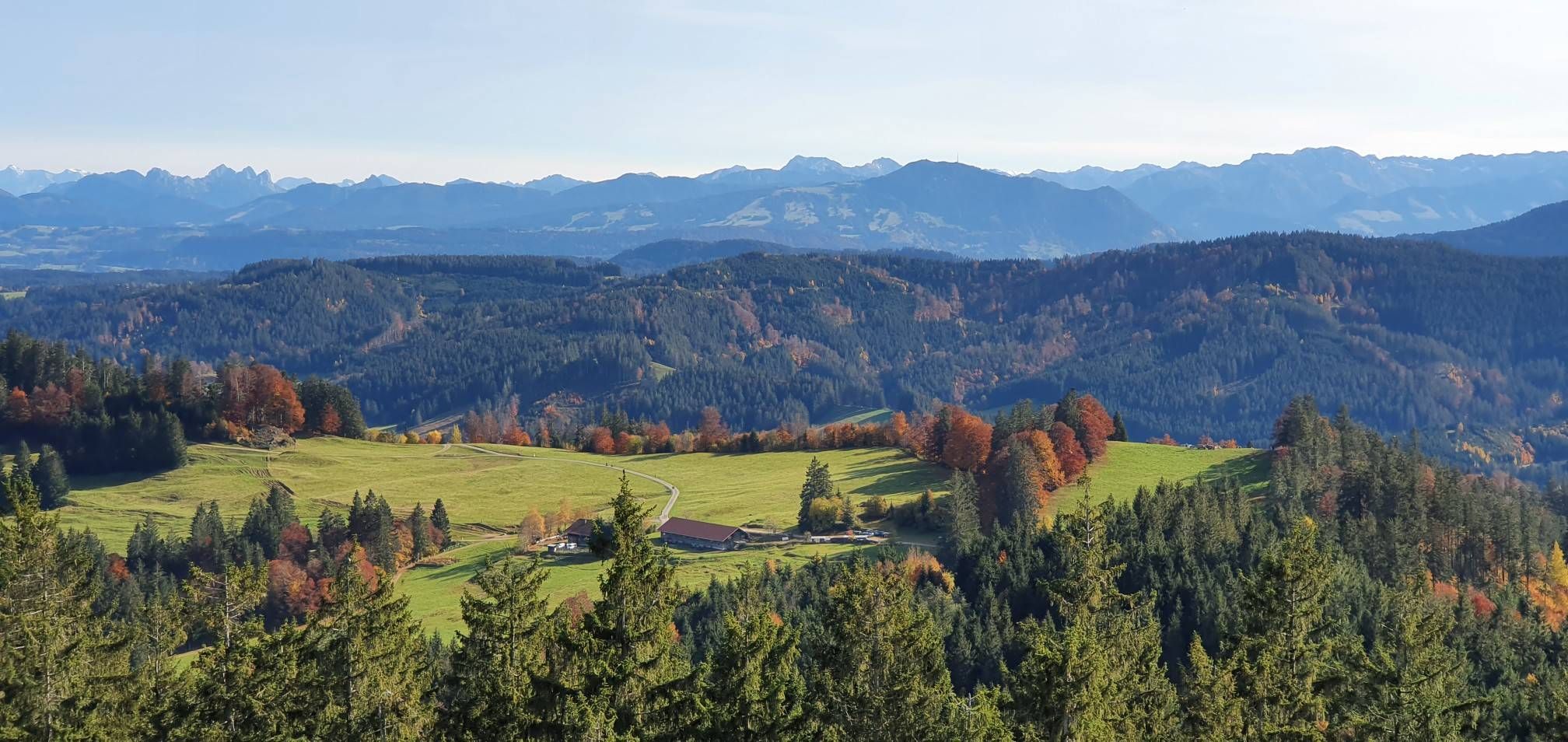
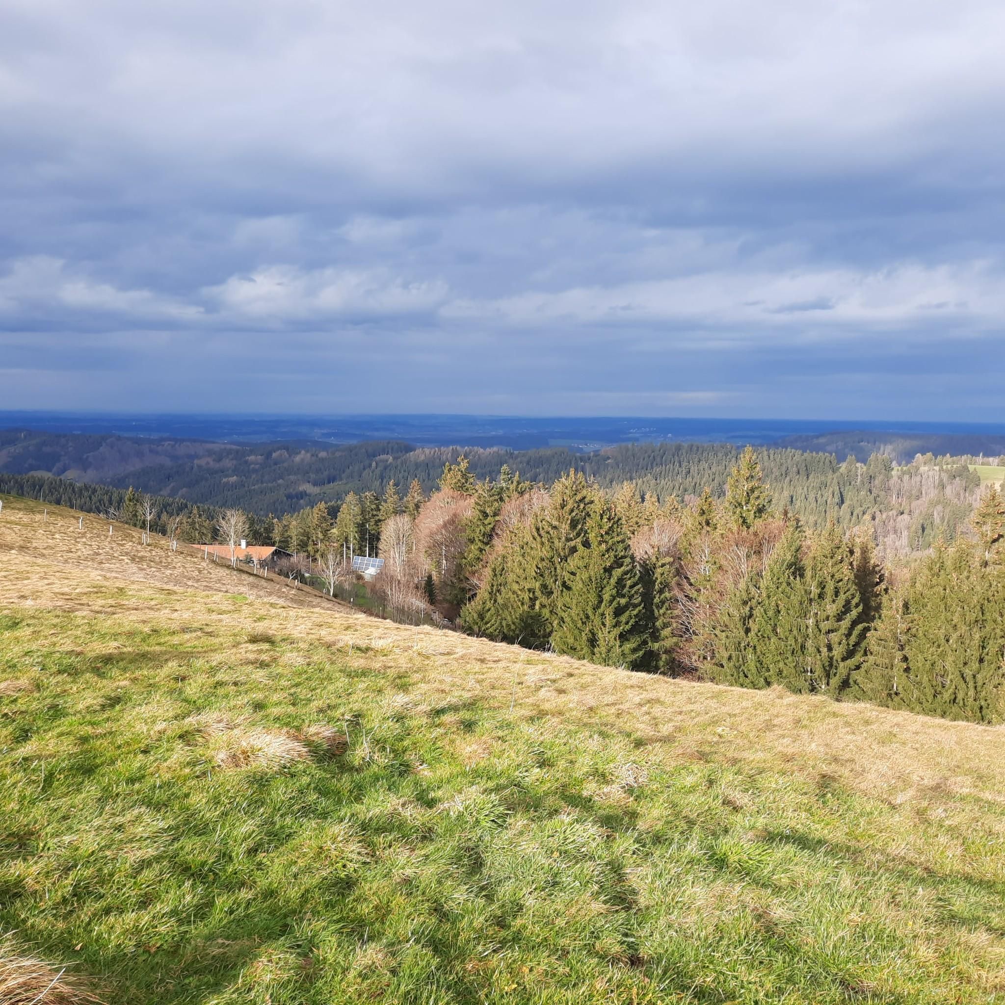
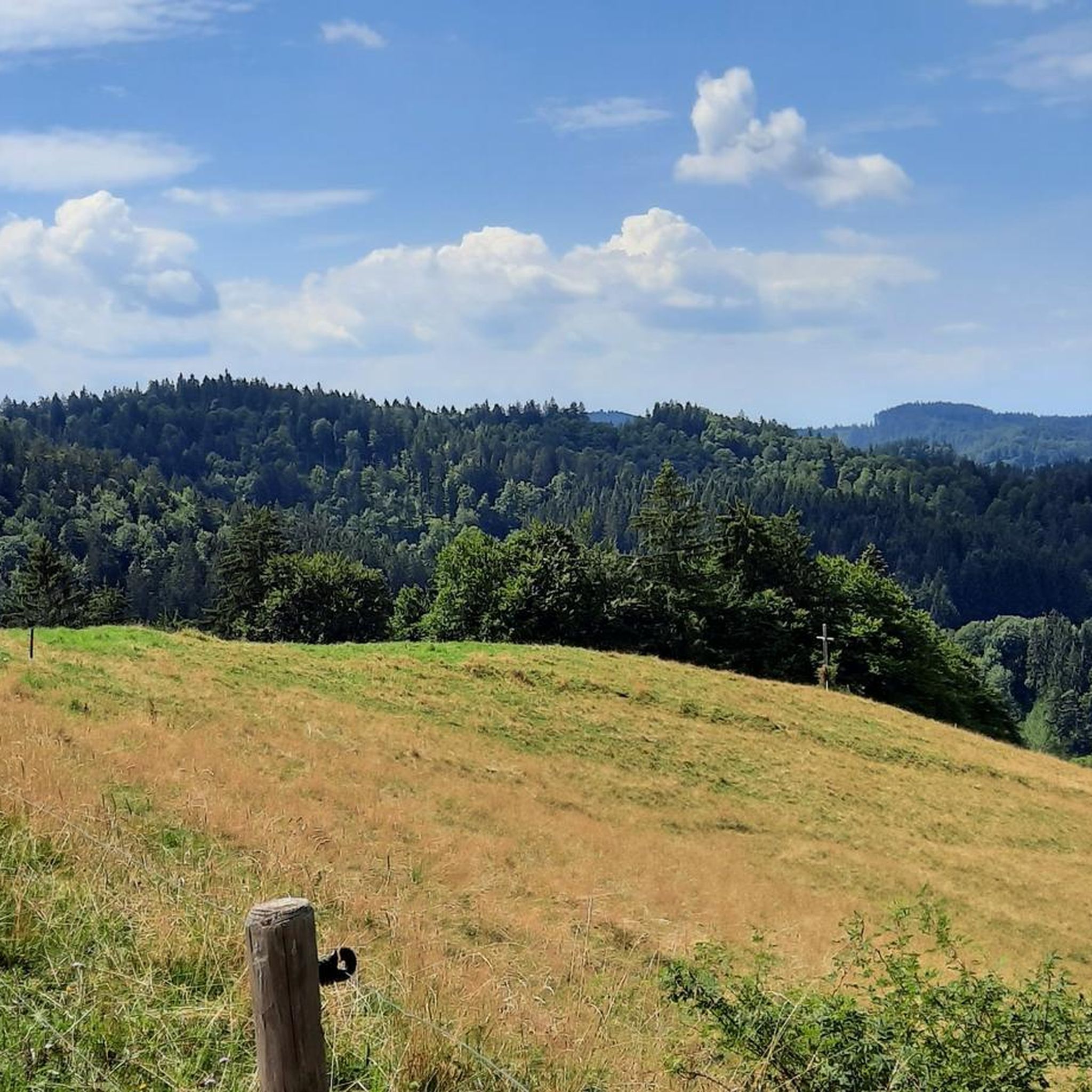
Mountaineering in Kürnacher Wald offers a diverse and hilly forested landscape within the Westallgäu region of Bavaria, Germany. The area is part of the Adelegg mountain range, featuring elevations up to approximately 1129 meters above sea level. Notable peaks include Ursersberg at 1129 meters and Änger at 1125.1 meters, alongside the scenic Raggenhorn ridge. Numerous small tributaries of the Kürnach and Eschach rivers also traverse the region, contributing to its varied topography.
Best mountaineering routes in Kürnacher Wald
- The most…
Last updated: July 1, 2026
1
hikers
Moderate mountaineering route. Good fitness required. Mostly accessible paths. Sure-footedness required.
1
hikers
14.6km
04:29
490m
490m
Moderate mountaineering route. Good fitness required. Mostly accessible paths. Sure-footedness required.

Sign up for free
6
hikers
Moderate mountaineering route. Good fitness required. Mostly accessible paths. Sure-footedness required.
5.0
(1)
6
hikers
5.74km
01:52
240m
240m
Easy mountaineering route. Great for any fitness level. Easily-accessible paths. Suitable for all skill levels.
3.0
(1)
14
hikers
8.55km
02:44
360m
360m
Moderate mountaineering route. Good fitness required. Mostly accessible paths. Sure-footedness required.
Get access to more routes and recommendations from other explorers.
Sign up for free
Already have an account?
Our route recommendations are based on thousands of hikes, rides, and runs completed by other people on komoot.
Start today with a free account
Your next adventure awaits.
Login or Signup
Other adventures in Kürnacher Wald

Tips from the Community

A beautiful high forest, with the last part to the Schwarzen Grad being a root path. It's literally over stock and stone.
6
0

When the ice melts or after rain, a small stream also flows along the path here.
0
0
A very challenging route from Wenden to the Schwarzer Grat via the Raggenhorn summit. However, once you reach the Raggenhorn summit, you are rewarded with a magnificent view. (The signs along the trail with the estimated times can make you feel like you're going very slowly...)
0
0

The hiking information board is opposite the clinic.
0
0
The Rotwild Trail starts behind the Überruh Clinic.
0
0
It served the old water supply.
0
0
The trail is illegal and dangerous.
0
0

Extensive forests surround the Schwarzer Grat. Directly near the summit, you hike through a lush green forest that repeatedly offers views of the Allgäu region. The partially exposed roots are particularly impressive.
1
0
Frequently Asked Questions
How many mountaineering routes are available in Kürnacher Wald?
Kürnacher Wald offers a good selection of mountaineering routes, with over 15 tours available for exploration. These routes cater to various skill levels, from easy walks to more challenging ascents.
What kind of landscape can I expect when mountaineering in Kürnacher Wald?
You'll experience a diverse and hilly forested landscape within the Westallgäu region of Bavaria. Kürnacher Wald is part of the Adelegg mountain range, featuring notable peaks like Ursersberg (1129 meters) and Änger (1125.1 meters). The region is also characterized by numerous small tributaries of the Kürnach and Eschach rivers, adding to its varied topography and natural beauty.
Are there family-friendly mountaineering routes in Kürnacher Wald?
Yes, Kürnacher Wald offers routes suitable for families. There are 2 easy mountaineering tours available, which are generally less strenuous and can be a good option for those with children or looking for a more relaxed experience. For example, the Raggenhorn Summit Cross – Wenger-Egg Alp loop from Wengen is classified as easy.
What is the best season for mountaineering in Kürnacher Wald?
The region is generally suitable for outdoor activities throughout the warmer months. While specific seasonal recommendations aren't provided, the diverse trail system and forested landscape make it enjoyable from spring through autumn. For winter conditions, it's always advisable to check local weather and trail reports, as some routes may become more challenging or require special equipment.
Are dogs allowed on the mountaineering trails in Kürnacher Wald?
Generally, dogs are welcome on trails in natural areas like Kürnacher Wald. However, it's always recommended to keep them on a leash, especially in forested areas where wildlife might be present, and to respect any local signage regarding dog regulations.
Can I reach mountaineering routes in Kürnacher Wald by public transport?
While specific public transport connections to all trailheads are not detailed, many regions in Bavaria have some public transport options. It's advisable to research local bus or train services to nearby towns like Buchenberg or Kreuzthal and plan your route accordingly. Parking is often available at popular trailheads for those traveling by car.
What interesting landmarks or viewpoints can I find along the routes?
Kürnacher Wald offers several points of interest. You can find impressive viewpoints like Kreuzles Peak, or visit summit crosses such as the Wolfsberg Summit Cross. The Witzgall Lime Tree on Ursersberg (1129 m) is another notable natural landmark. Additionally, the nearby Schmidsfelden Glassmakers' Village offers a cultural attraction with a long tradition of glassmaking.
Are there challenging mountaineering routes for experienced hikers?
Yes, Kürnacher Wald provides routes for those seeking more strenuous activities. While there are no routes classified as 'difficult' in this guide, many of the 13 moderate routes involve significant elevation gains and require good fitness and sure-footedness. These can take several hours to complete, offering a rewarding challenge. An example is the Raggenhorn Summit Cross – Wenger-Egg Alp loop from Kreuzthal.
What do other mountaineers enjoy the most about mountaineering in Kürnacher Wald?
The area is highly rated by the komoot community, with an average score of 4.5 stars from more than 8 reviews. Mountaineers often praise the diverse and hilly forested landscapes, the scenic views from peaks like Raggenhorn, and the extensive trail network that offers options for different ability levels.
Are there any circular mountaineering routes in Kürnacher Wald?
Yes, many of the mountaineering routes in Kürnacher Wald are designed as loops, allowing you to start and end at the same point. Examples include the popular Wenger-Egg Alp – Raggenhorn Summit Cross loop from Wandergebiet Buchenberg and the Kneipp Basin Allgäu – Red Deer Educational Trail loop from Bolsternang.
What are the typical elevation gains on mountaineering routes in Kürnacher Wald?
Elevation gains vary depending on the route's difficulty and length. For moderate routes, you can expect ascents ranging from around 240 meters, such as on the Raggenhorn Summit Cross – Wenger-Egg Alp loop from Wandergebiet Buchenberg, up to nearly 500 meters for longer tours like the Raggenhorn Summit Cross – Wenger-Egg Alp loop from Kreuzthal. These provide a good workout while offering scenic rewards.
Most popular routes in Kürnacher Wald
Most popular attractions in Kürnacher Wald

Get inspired with the komoot mobile app


Explore more
Browse the best Mountain Hikes & Routes in other regions.
