The best walks and hikes in Kerschlacher Forst
4.5
(15574)
77,771
hikers
14
hikes
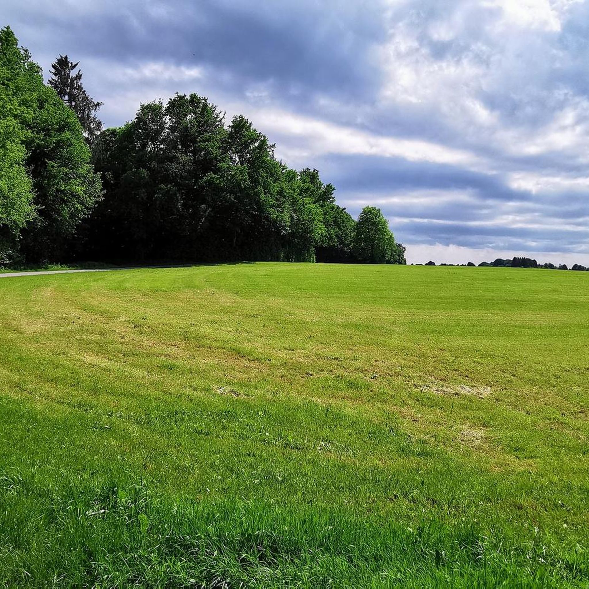
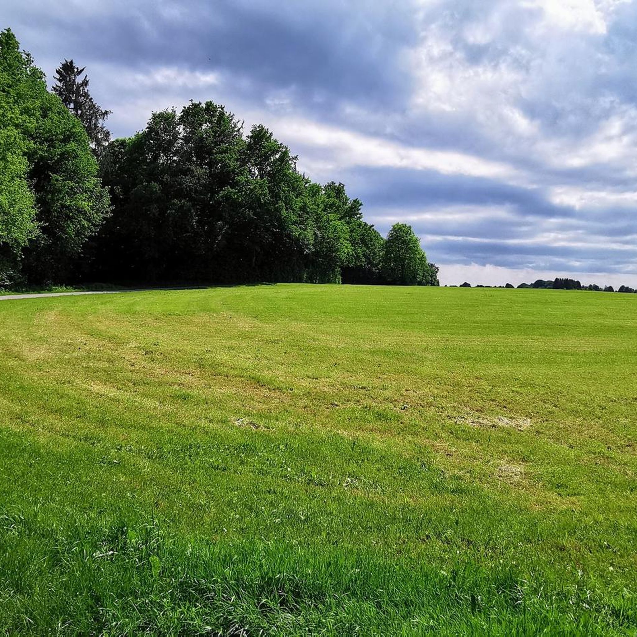
Hiking in Kerschlacher Forst offers diverse landscapes shaped by unique glacial topography, including moraines and kettle holes. This forest area, situated between Ammersee and Starnberger See, features dense woodlands, numerous spring-fed streams, and significant moorlands like Flachtenbergmoor. The terrain provides a varied environment for exploration, ranging from rolling hills to tranquil water bodies such as the Hochschloßweiher.
Best hiking trails in Kerschlacher Forst
- The most popular hiking route is Day Bar Gut Kerschlach – Avenue at Pähl Golf Course loop…
Last updated: October 1, 2026
4.6
(20)
88
hikers
Easy hike. Great for any fitness level. Easily-accessible paths. Suitable for all skill levels.
4.8
(8)
27
hikers
Hard hike. Good fitness required. Sure-footedness, sturdy shoes and alpine experience required.

5.0
(7)
16
hikers
9.22km
02:33
170m
170m
Moderate hike. Good fitness required. Easily-accessible paths. Suitable for all skill levels.
4.0
(2)
17
hikers
6.98km
01:52
80m
80m
Easy hike. Great for any fitness level. Easily-accessible paths. Suitable for all skill levels.
4.0
(2)
9
hikers
7.30km
01:57
80m
80m
Easy hike. Great for any fitness level. Easily-accessible paths. Suitable for all skill levels.
Get access to more routes and recommendations from other explorers.
Already have an account?
Our route recommendations are based on thousands of hikes, rides, and runs completed by other people on komoot.
Start today with a free account
Your next adventure awaits.


Tips from the Community

The moor is romantic. You have to be very careful with the paths to make sure they are also passable.
0
0

small farm shop where there is something for the cyclist
0
0

The Hochschlossweiher pond is a tranquil, idyllic spot in the heart of nature. Surrounded by greenery and with reflective water, it exudes a pleasant serenity.
4
0


Located close to the forest and easily accessible via a clearly marked path, this beautiful spot is also perfect for swimming! The view is fantastic! When I was there in May 2025, some very nice people joined me a little later and took a horse for a long swim. It was a fantastic experience, especially to watch. Otherwise, you're almost guaranteed to be alone here and can truly enjoy the silence.
0
0

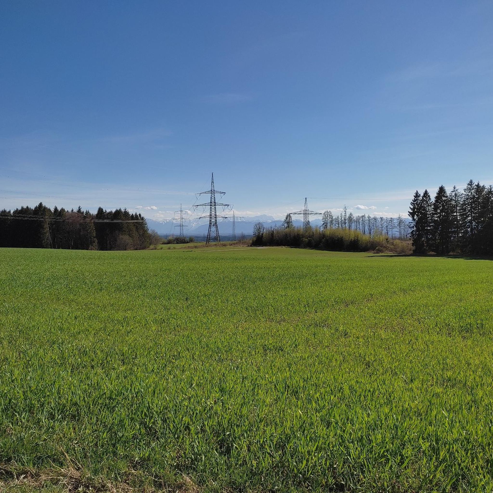
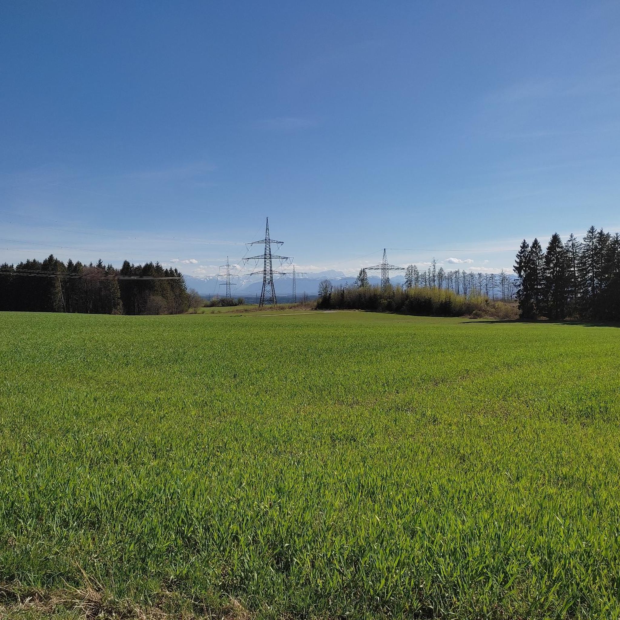
Here on the hill there is a blessed spot with a fantastic view of the mountains, provided the visibility is clear.
0
0

Here, a little off the main street in Monatshausen, stands a small Catholic church dedicated to Saint Martin. The current building dates from the Baroque period at the end of the 17th century and was built on the site of an early Romanesque predecessor. The tower, with its onion dome, typical of the region, is known to date from 1692. Unfortunately, the church was locked today, so I was only able to glimpse the interior through a window. Please note: the path to the church leads through the courtyard of a property and appears to be closed to the public, but it is, as this path is the only access to the church. Further information can be found at https://de.wikipedia.org/wiki/St._Martin_(Monatshausen) on Wikipedia.
2
0

Awesome views to Zugspitze and Alps, and the whole Ammer valley from Weilheim to Ammersee. Unique landscape of smooth hills
0
0
Frequently Asked Questions
How many hiking trails are there in Kerschlacher Forst?
Kerschlacher Forst offers a good selection of hiking routes, with over 10 trails available for exploration. These range from easy strolls to more challenging paths, ensuring options for various fitness levels.
What kind of terrain can I expect when hiking in Kerschlacher Forst?
The terrain in Kerschlacher Forst is characterized by its unique glacial topography, featuring rolling hills, moraines, and kettle holes. You'll hike through dense woodlands, encounter numerous spring-fed streams, and discover significant moorlands like Flachtenbergmoor and Schollenmoos. The landscape is varied, offering both tranquil flat sections and areas with moderate elevation changes.
Are there family-friendly hiking routes in Kerschlacher Forst?
Yes, Kerschlacher Forst has several easy routes suitable for families. For instance, the Avenue at Pähl Golf Course – Pähl Golf Course loop from Flachtenbergmoor is an easy 6 km (3.7 miles) trail that takes around 1 hour 35 minutes, perfect for a family outing.
Can I bring my dog on the hiking trails in Kerschlacher Forst?
Generally, dogs are welcome on the hiking trails in Kerschlacher Forst. However, as parts of the forest are designated nature reserves, it's always recommended to keep dogs on a leash, especially in areas with sensitive wildlife like the moorlands, to protect the local flora and fauna.
Are there circular hiking routes available in Kerschlacher Forst?
Many of the trails in Kerschlacher Forst are designed as circular routes, allowing you to start and end at the same point. An example is the Hirschberg Summit Cross – Gut Kerschlach loop from Flachtenbergmoor, a moderate 9.2 km (5.7 miles) route that offers varied scenery.
What natural features can I see while hiking in Kerschlacher Forst?
Kerschlacher Forst is rich in natural beauty. You can explore unique glacial landscapes, dense forests, and significant moorlands such as Flachtenbergmoor and Schollenmoos. The Hochschloßweiher is an idyllic lake perfect for peaceful relaxation, and numerous spring-fed streams crisscross the area, contributing to the region's intact water systems.
Are there any historical sites or points of interest in Kerschlacher Forst?
For those interested in history, the former Warnamt X bunker, a Cold War-era military facility, is a unique historical site hidden within the woods. Additionally, the estate of Gut Kerschlach serves as a convenient starting point for many walks and offers amenities.
Where can I park when hiking in Kerschlacher Forst?
Parking is generally available at common starting points for hikes, such as near Gut Kerschlach or other access points to the forest. Look for designated parking areas to ensure you're not obstructing local traffic or private property.
How can I reach Kerschlacher Forst by public transport?
While Kerschlacher Forst is primarily accessed by car, some public transport options may get you close to the area. It's advisable to check local bus schedules for connections to nearby villages like Kerschlach or Pähl, from where you might be able to start your hike.
Are there places to eat or drink near the hiking trails?
Yes, Gut Kerschlach features a "Tagesbar" which can be a pleasant stop for refreshments before or after your hike. There are also cafes and pubs in the surrounding villages that cater to hikers.
What are the typical lengths and durations of hikes in Kerschlacher Forst?
Hikes in Kerschlacher Forst vary in length and duration. You can find shorter routes around 6 km (3.7 miles) that take about 1.5 hours, such as the Day Bar Gut Kerschlach – Avenue at Pähl Golf Course loop from Flachtenbergmoor. Longer routes, like the Gut Kerschlach – Avenue at Pähl Golf Course loop from Flachtenbergmoor, can be up to 9.5 km (5.9 miles) and take around 2 hours 36 minutes.
What do other hikers enjoy most about Kerschlacher Forst?
The area is highly rated by the komoot community, with an average score of 4.5 stars from over 7,000 reviews. Hikers often praise the diverse landscapes, the tranquility of the dense woodlands, and the unique natural features like the moorlands and idyllic lakes such as Hochschloßweiher.
Are there any viewpoints or scenic spots in Kerschlacher Forst?
While Kerschlacher Forst is primarily a forest landscape, the picturesque road between Machtlfing and Kerschlach offers beautiful views of the morainic landscape. Additionally, the Hochschloßweiher provides a serene and idyllic spot for relaxation amidst nature.
Most popular routes in Kerschlacher Forst
Most popular attractions in Kerschlacher Forst

Get inspired with the komoot mobile app


Explore more
Browse the best Hikes in other regions.
