The best road cycling routes in Sulzschneider Forst
4.6
(670)
8,559
riders
207
rides
Road cycling in Sulzschneider Forst offers a diverse network of routes through the scenic forest landscapes and gently rolling hills of the Ostallgäu region in Bavaria, Germany. The terrain is characterized by wide plains, idyllic lakes, and accessible paths, often providing views of the distant Alps. This area provides a mix of paved and unpaved sections, catering to various road cycling preferences.
Best road cycling routes in Sulzschneider Forst
- The most popular road cycling route is View of Grünten –…
Last updated: September 27, 2026
4.9
(17)
126
riders
96.2km
04:27
1,010m
1,010m
Hard road ride. Very good fitness required. Mostly well-paved surfaces and easy to ride.
5.0
(2)
29
riders
39.2km
01:40
260m
260m
Easy road ride. Great for any fitness level. Mostly well-paved surfaces and easy to ride.

4.7
(3)
24
riders
20.7km
00:54
160m
160m
Easy road ride. Great for any fitness level. Mostly well-paved surfaces and easy to ride.
3.5
(2)
21
riders
36.9km
01:45
370m
370m
Moderate road ride. Good fitness required. Mostly well-paved surfaces and easy to ride.
5.0
(1)
7
riders
19.5km
01:00
230m
230m
Moderate road ride. Great for any fitness level. Some segments of this route may be unpaved and difficult to ride.
Get access to more routes and recommendations from other explorers.
Already have an account?
Our route recommendations are based on thousands of hikes, rides, and runs completed by other people on komoot.
Start today with a free account
Your next adventure awaits.
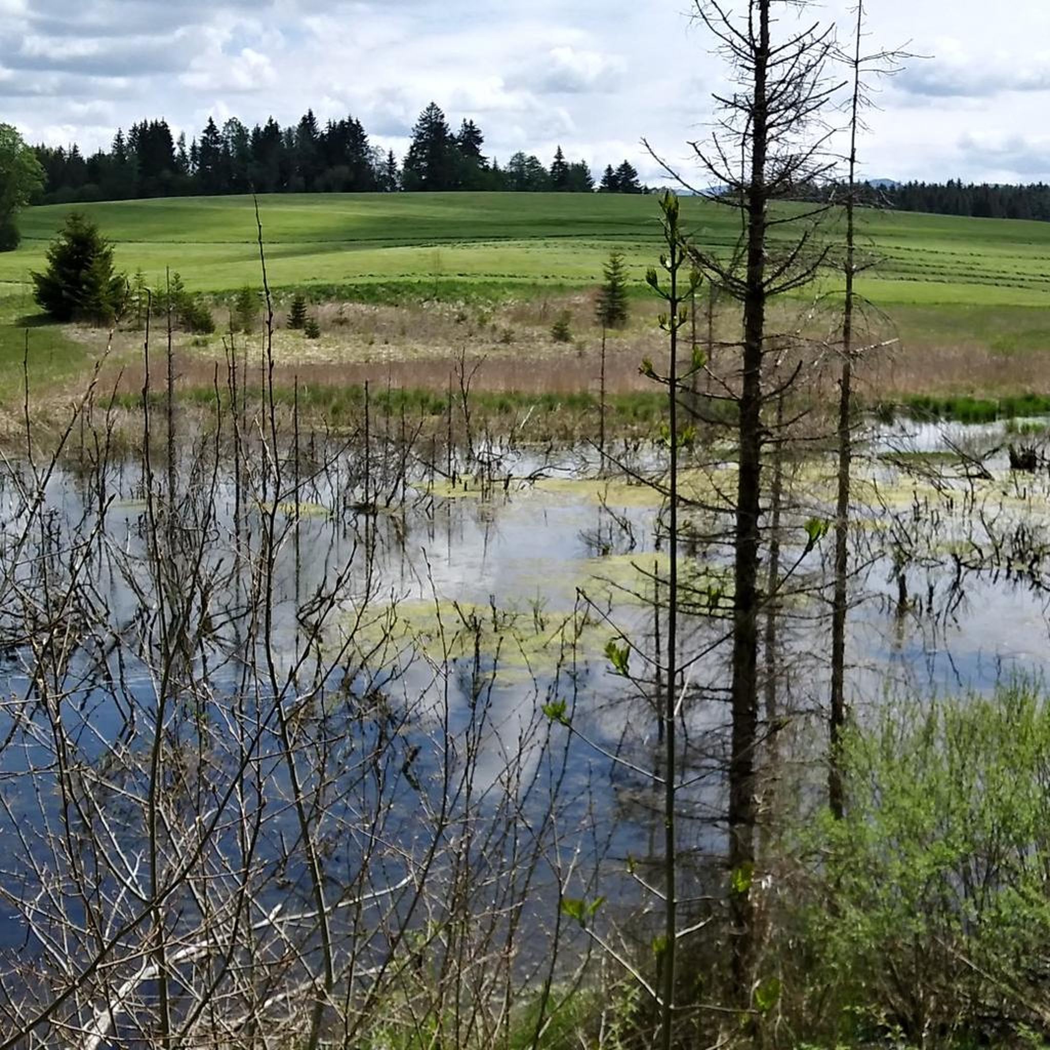
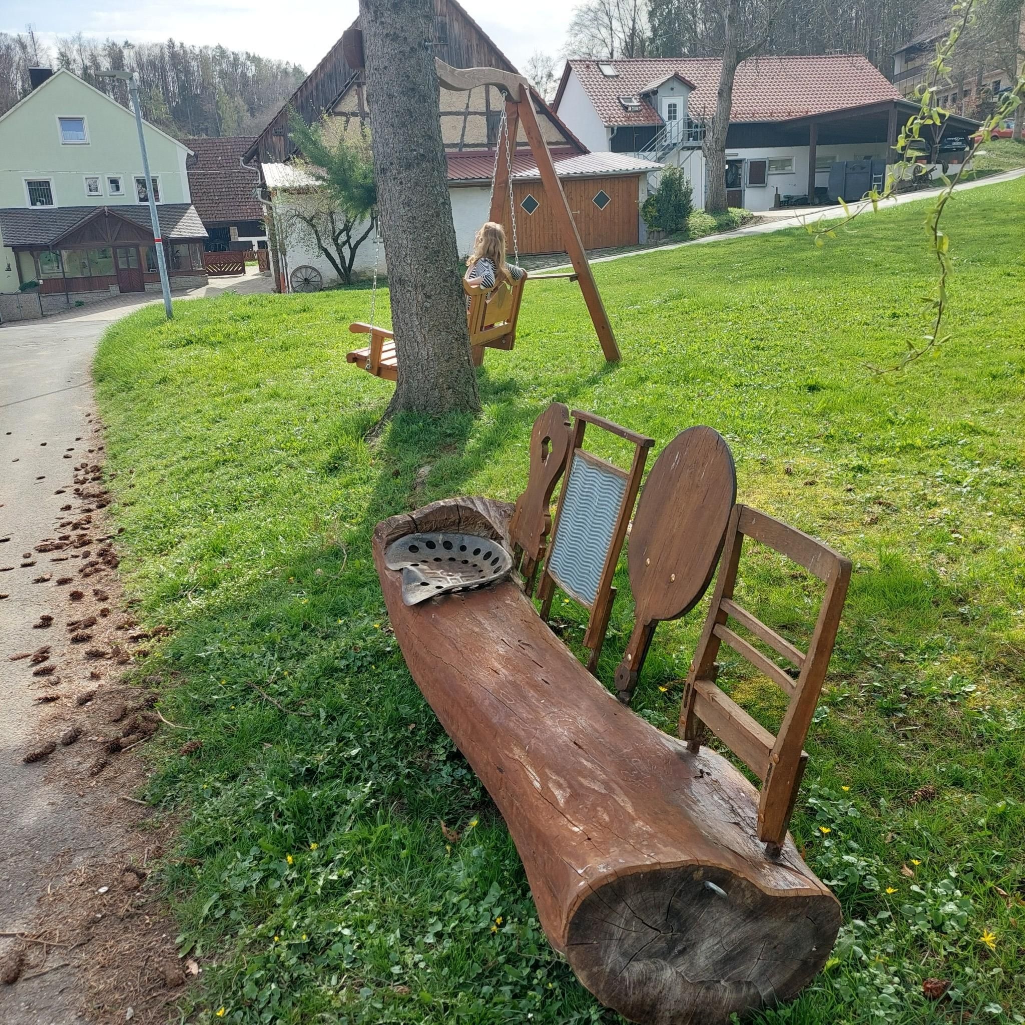
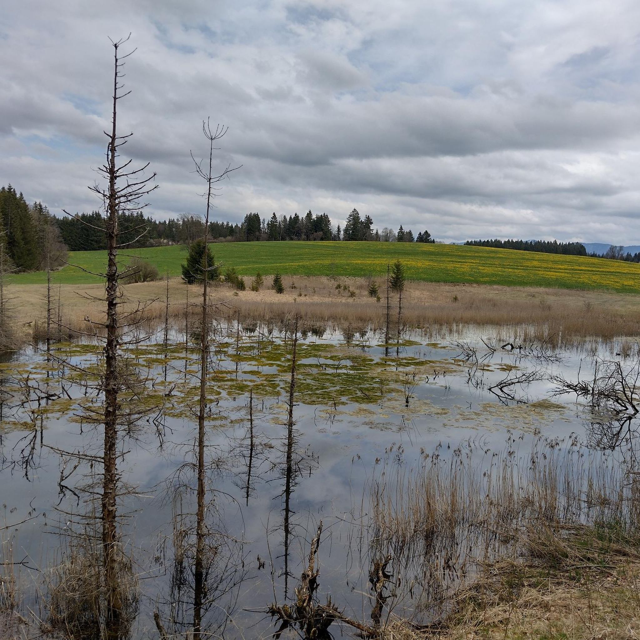

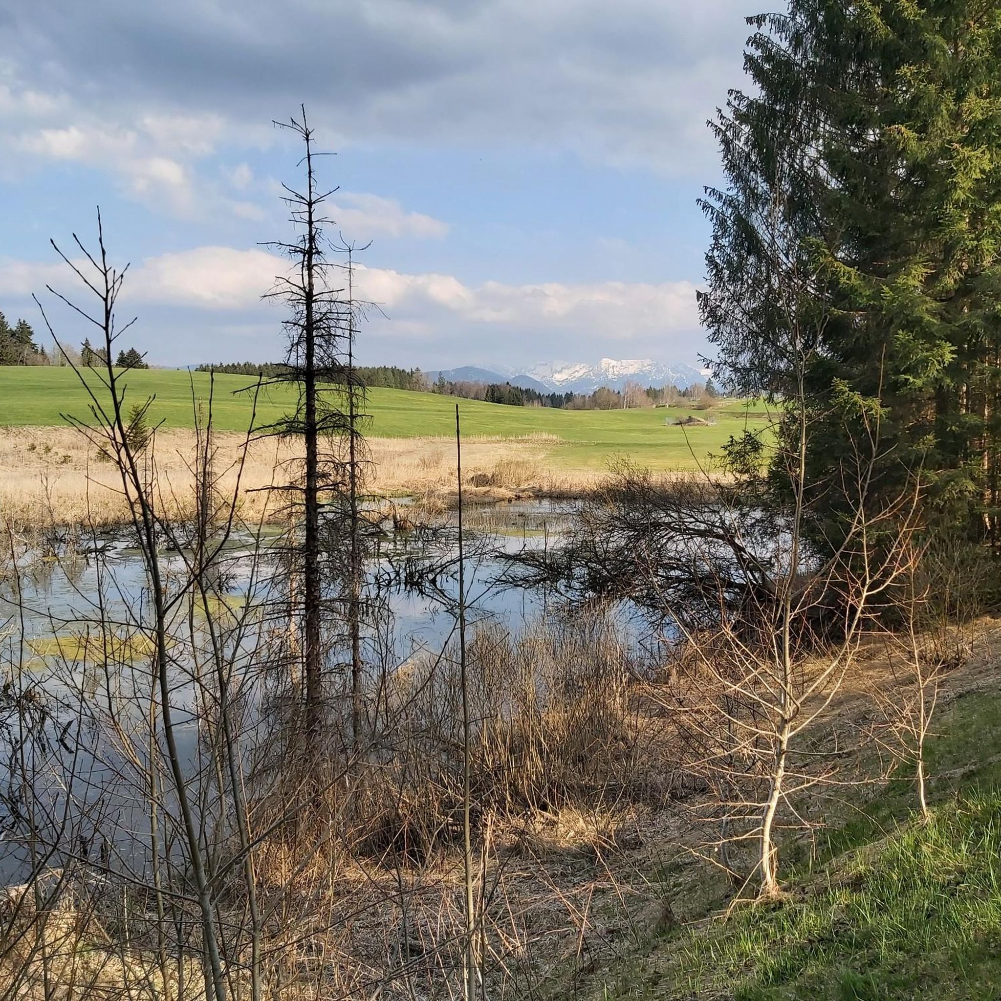
Tips from the Community

There is also a tip - a puzzle trail through the adventure apiary for children from about 3 years old. In the end, the little ones receive a diploma. A great highlight for the children with a learning effect. Lovingly made ❤️
0
0

Toller Seeblick mit Alpenpanorama und Schloss Neuschwanstein
0
0

What a brilliant view from here, a great place for a scenic break.
0
0

The bus stop right at the Voglerwirt, slightly disturbing at night, but all the better during the day
2
0

The history of the church dates back to the 8th century. According to tradition, Saint Magnus is said to have established a prayer cell here. Several predecessor buildings already stood on the site of the present church. The present parish church was built between 1906 and 1908 according to the plans of the architect Ferdinand Schildhauer in the Neo-Baroque style with a richly decorated interior in the Neo-Rococo style. The striking church tower dates back to 1748 and is therefore significantly older than the current church building.
4
0
The St. Andrew's church tower can be seen from many places in the town.
4
1

See, Schwan and Allgäu Alps at a glance.
0
0

Frequently Asked Questions
How many road cycling routes are available in Sulzschneider Forst?
Sulzschneider Forst offers a comprehensive network of over 230 road cycling routes. These routes traverse scenic forest landscapes and gently rolling hills, providing diverse options for cyclists of all levels.
What kind of terrain can I expect on road cycling routes in Sulzschneider Forst?
The terrain in Sulzschneider Forst is characterized by scenic forest landscapes, gently rolling hills, and wide plains. You'll find a mix of well-maintained paved paths and some unpaved sections, often with idyllic lakes and distant views of the Alps. The area around Marktoberdorf, bordering Sulzschneider Forst, boasts a 460 km road network connecting charming towns and villages.
Are there routes suitable for beginners or those looking for an easy ride?
Yes, Sulzschneider Forst has plenty of options for easy rides. There are 63 easy routes available. A popular choice is the Hopfensee – View of Hopfensee loop from Seeg, an easy 24.0-mile (38.6 km) path with moderate elevation changes, offering beautiful views of Hopfensee. Another easy option is the Schwaltenweiher – Schwaltenweiher Lake loop from Seeg, a 12.9-mile (20.7 km) trail through forest and past serene bodies of water.
Are there challenging routes for experienced road cyclists?
Absolutely. For experienced road cyclists seeking a challenge, there are 19 difficult routes in Sulzschneider Forst. The most popular difficult route is the View of Grünten – View of Rottachspeicher loop from Seeg, a demanding 59.8-mile (96.2 km) trail with over 3,300 feet (1,000 meters) of elevation gain.
What natural features or landmarks can I see along the road cycling routes?
The region is rich in natural beauty. You can cycle past serene bodies of water like the Sulzschneider Forest itself, the Ettwieser Weiher (Ettwieser Pond), Biberweiher, and Eckeleweiher. A picturesque path also runs alongside the Lobach stream. The famous "Dampflok-Runde" (Steam Locomotive Loop) features a notable two-kilometer ramp between Steinbach and Freßlesreute. You can explore highlights like the Dampflok Loop Ramp Through Sulzschneider Forest and the Steam Locomotive Cycle Path.
Are there any family-friendly attractions near the cycling routes?
Yes, the area offers several family-friendly attractions. The Ettwieser Weiher (Ettwieser Pond) near Marktoberdorf is perfect for families, with sunbathing lawns and a non-swimmer area. The Scenic Path Along the Lobach is also very accessible. For an adventure, the Klobunzele-Weg is an engaging, family-friendly adventure trail with legends and puzzles, passing by Kuhstallweiher, Kohlhunden, and Ettwieser Weiher. Additionally, the Tree Crag at Ettwieser Weiher offers a climbing garden for all ages.
What is the best time of year for road cycling in Sulzschneider Forst?
The best time for road cycling in Sulzschneider Forst is generally from spring through autumn. During these seasons, the weather is most favorable, offering pleasant temperatures and the full beauty of the forest landscapes, rolling hills, and lakes. Always check the local weather forecast before heading out.
Is parking available for cyclists in Sulzschneider Forst?
Yes, parking is generally available in and around Sulzschneider Forst, particularly in nearby towns like Marktoberdorf, which serves as a hub for the region's outdoor activities. Specific parking areas are often designated near trailheads and popular starting points for routes.
Can I reach Sulzschneider Forst by public transport with my bike?
Public transport options are available in the broader Ostallgäu region, including train and bus services that connect to towns like Marktoberdorf. It's advisable to check with the specific transport provider regarding their policies for carrying bicycles, as this can vary.
Are there cafes or accommodation options near the cycling routes?
Yes, the region around Sulzschneider Forst, especially in and around Marktoberdorf and the charming towns connected by the cycling network, offers various cafes, pubs, and accommodation options. These establishments cater to visitors and cyclists, providing places to rest, refuel, and stay overnight.
What do other road cyclists say about the routes in Sulzschneider Forst?
The road cycling routes in Sulzschneider Forst are highly regarded by the komoot community, boasting an average rating of 4.7 stars from over 500 reviews. More than 7,000 road cyclists have explored the area using komoot, often praising the scenic forest landscapes, the variety of routes for different skill levels, and the serene atmosphere.
Are there circular road cycling routes in Sulzschneider Forst?
Yes, many of the road cycling routes in Sulzschneider Forst are designed as circular loops, allowing you to start and end at the same point. Examples include the Hopfensee – View of Hopfensee loop from Seeg and the Schwaltenweiher – Schwaltenweiher Lake loop from Seeg, offering convenient options for exploration.
Most popular routes in Sulzschneider Forst
Most popular attractions in Sulzschneider Forst

Get inspired with the komoot mobile app


Explore more
Browse the best Road cycling routes in other regions.
