The best mountain hikes in Niederstraßer Wald
4.9
(82)
1,147
hikers
66
hikes
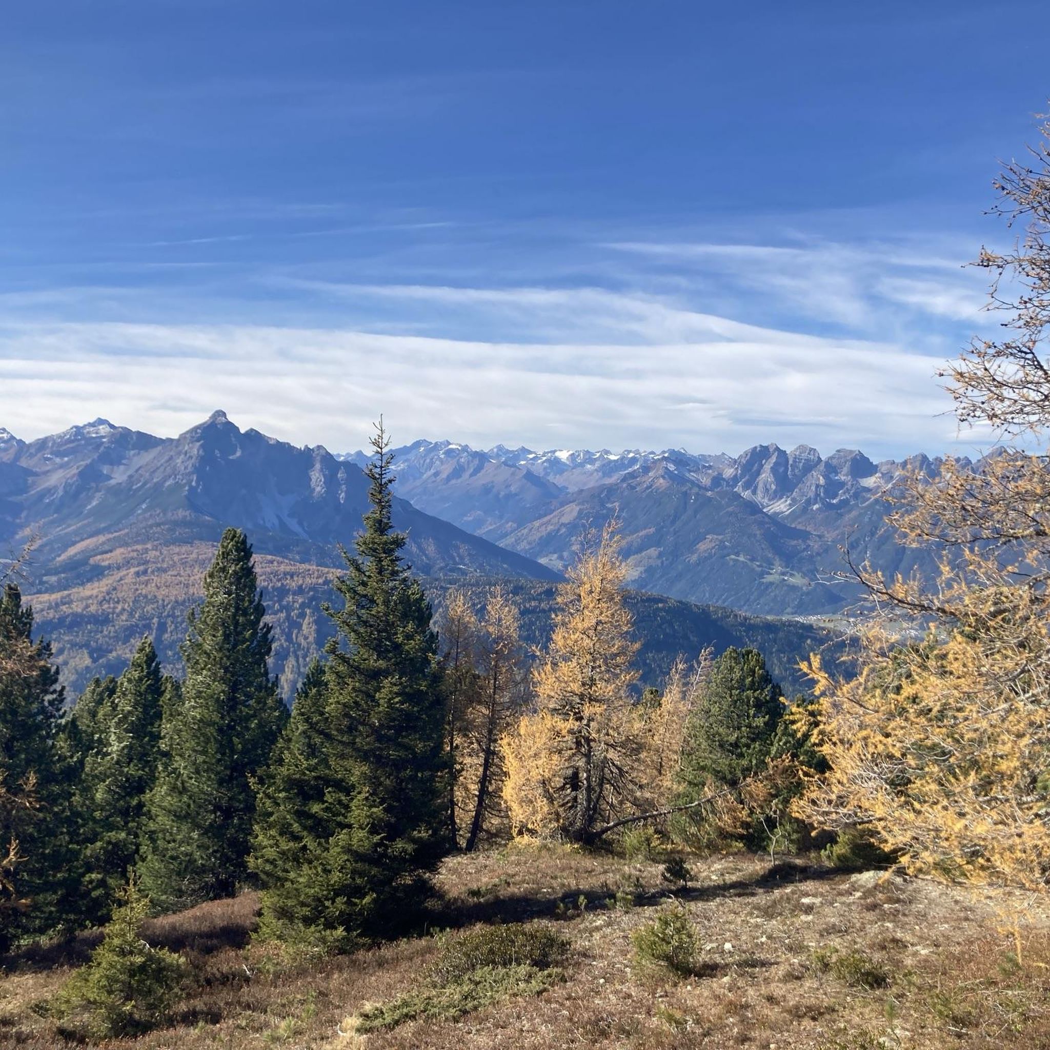
Mountaineering in Niederstraßer Wald is characterized by significant elevation changes and alpine terrain, offering challenging ascents to prominent summits. The region features a mix of forested slopes leading to open, rocky mountain landscapes, typical of the Wipptal area. Routes often traverse high-altitude paths, providing expansive views and demanding physical exertion. The terrain includes both well-defined trails and more rugged sections, suitable for experienced mountaineers.
Best mountaineering routes in Niederstraßer Wald
- The most popular mountaineering route is Arztalhütte – Mountain Spring…
Last updated: May 11, 2026
14
hikers
9.11km
03:23
610m
610m
Moderate mountaineering route. Good fitness required. Easily-accessible paths. Suitable for all skill levels.
10
hikers
17.8km
08:00
1,390m
1,390m
Hard mountaineering route. Very good fitness required. Sure-footedness, sturdy shoes and alpine experience required.

Sign up for free
10
hikers
7.31km
02:48
520m
520m
Moderate mountaineering route. Good fitness required. Easily-accessible paths. Suitable for all skill levels.
8
hikers
12.4km
05:39
950m
950m
Hard mountaineering route. Very good fitness required. Mostly accessible paths. Sure-footedness required.
8
hikers
16.8km
07:46
1,390m
1,390m
Hard mountaineering route. Very good fitness required. Sure-footedness, sturdy shoes and alpine experience required.
Get access to more routes and recommendations from other explorers.
Sign up for free
Already have an account?
Our route recommendations are based on thousands of hikes, rides, and runs completed by other people on komoot.
Start today with a free account
Your next adventure awaits.
Login or Signup
Popular around Niederstraßer Wald
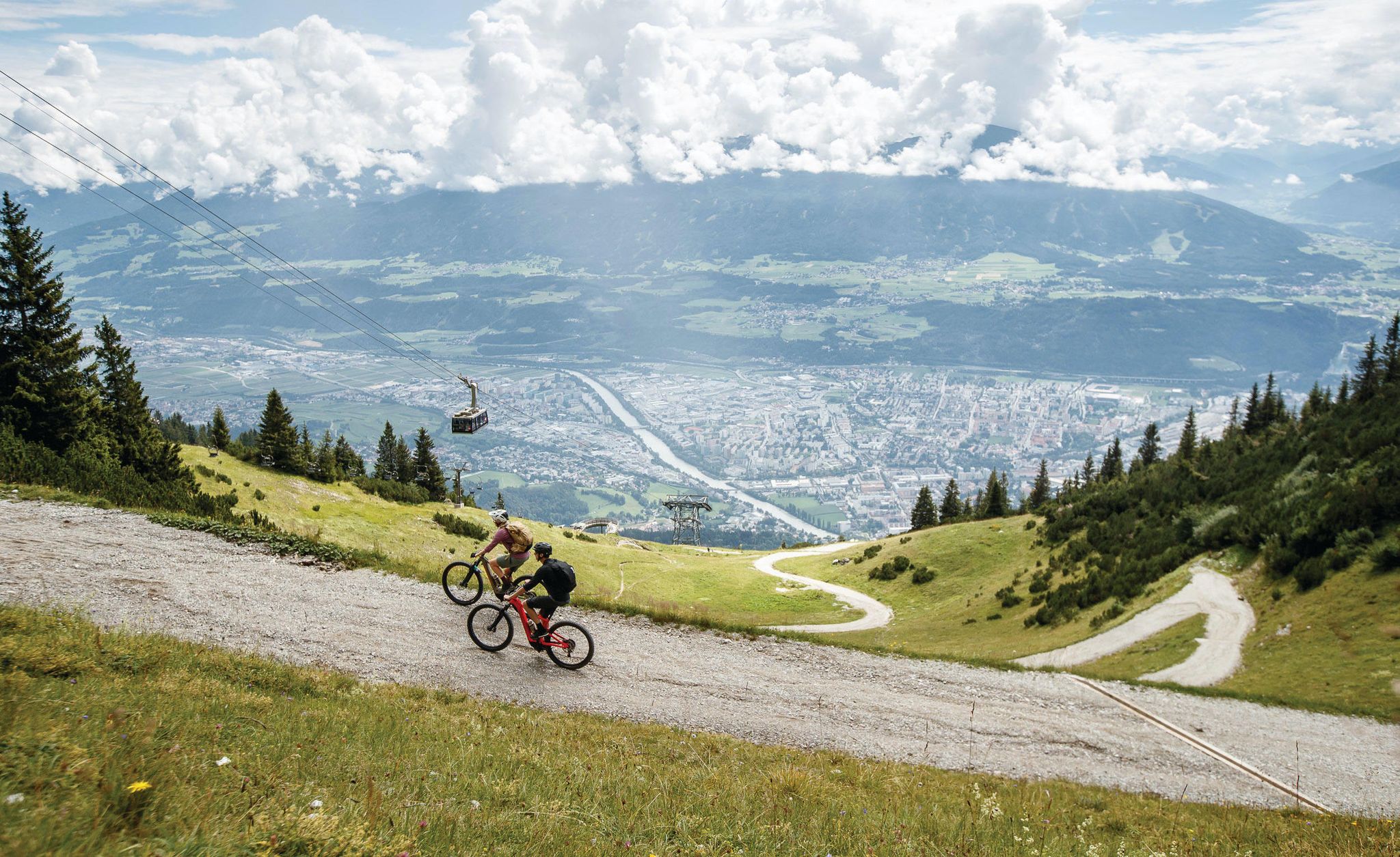
Get out of the city, get on the trail — welcome to Innsbruck!
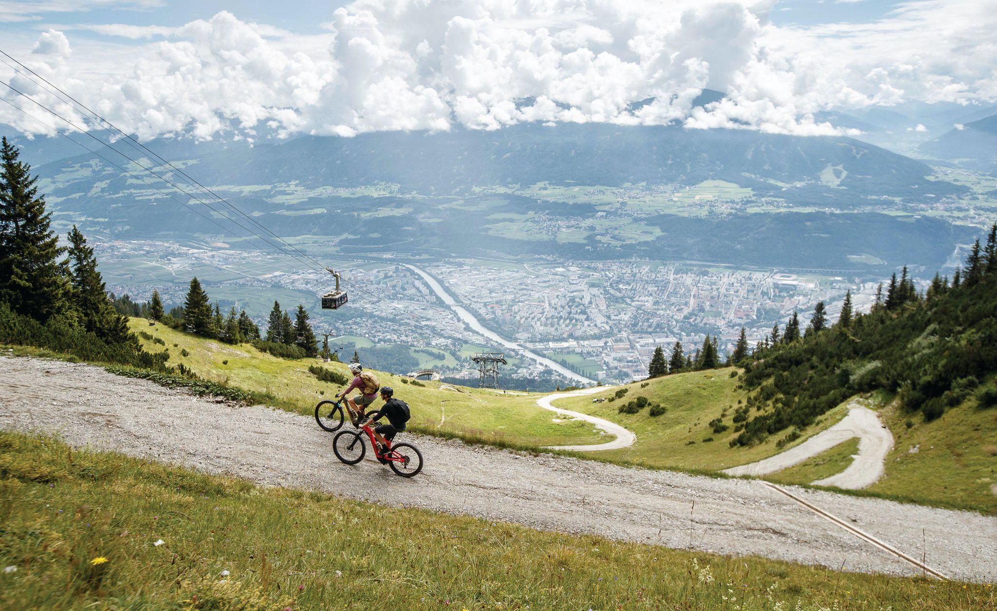
Dream trails as far as your tires will take you — biking in Innsbruck!
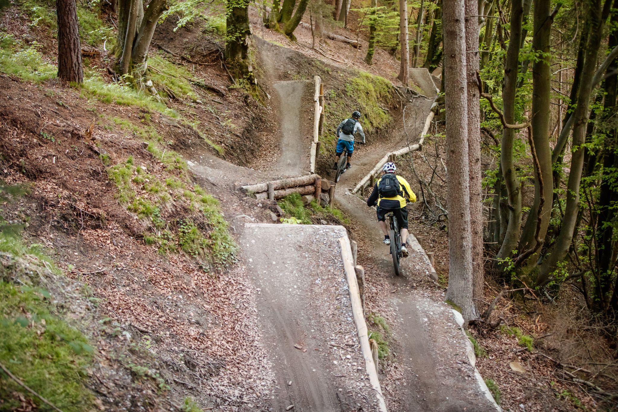
Get out of the city, get on the trail — welcome to Innsbruck!
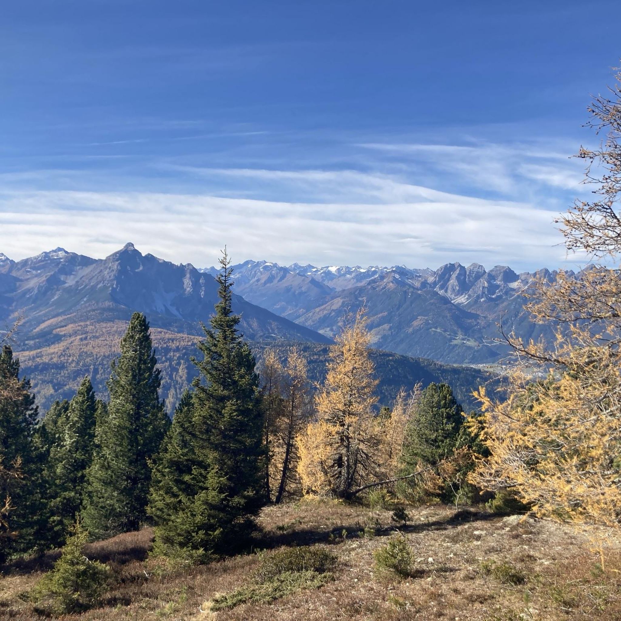
MTB Trails in Niederstraßer Wald
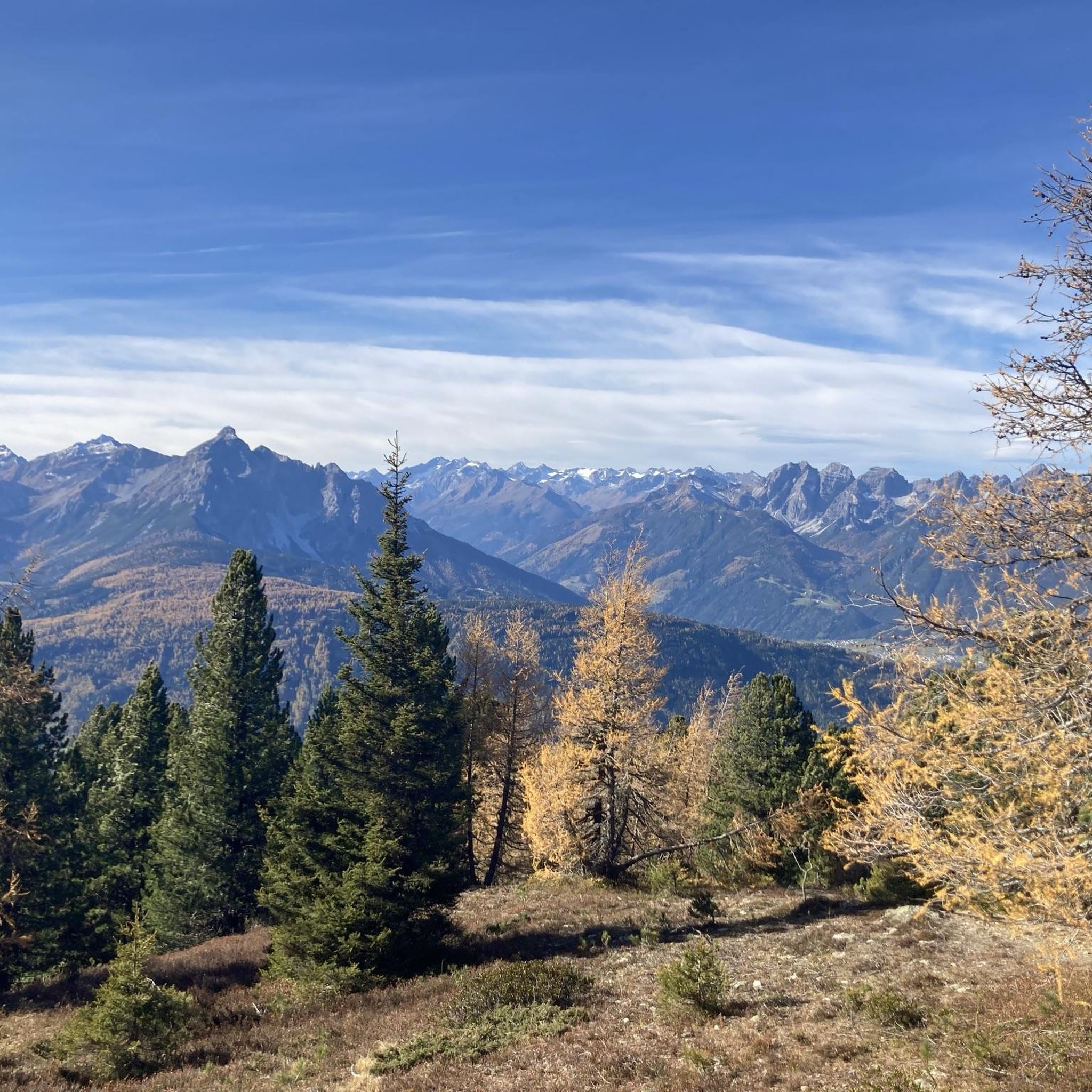
Road Cycling Routes in Niederstraßer Wald
Gravel biking in Niederstraßer Wald
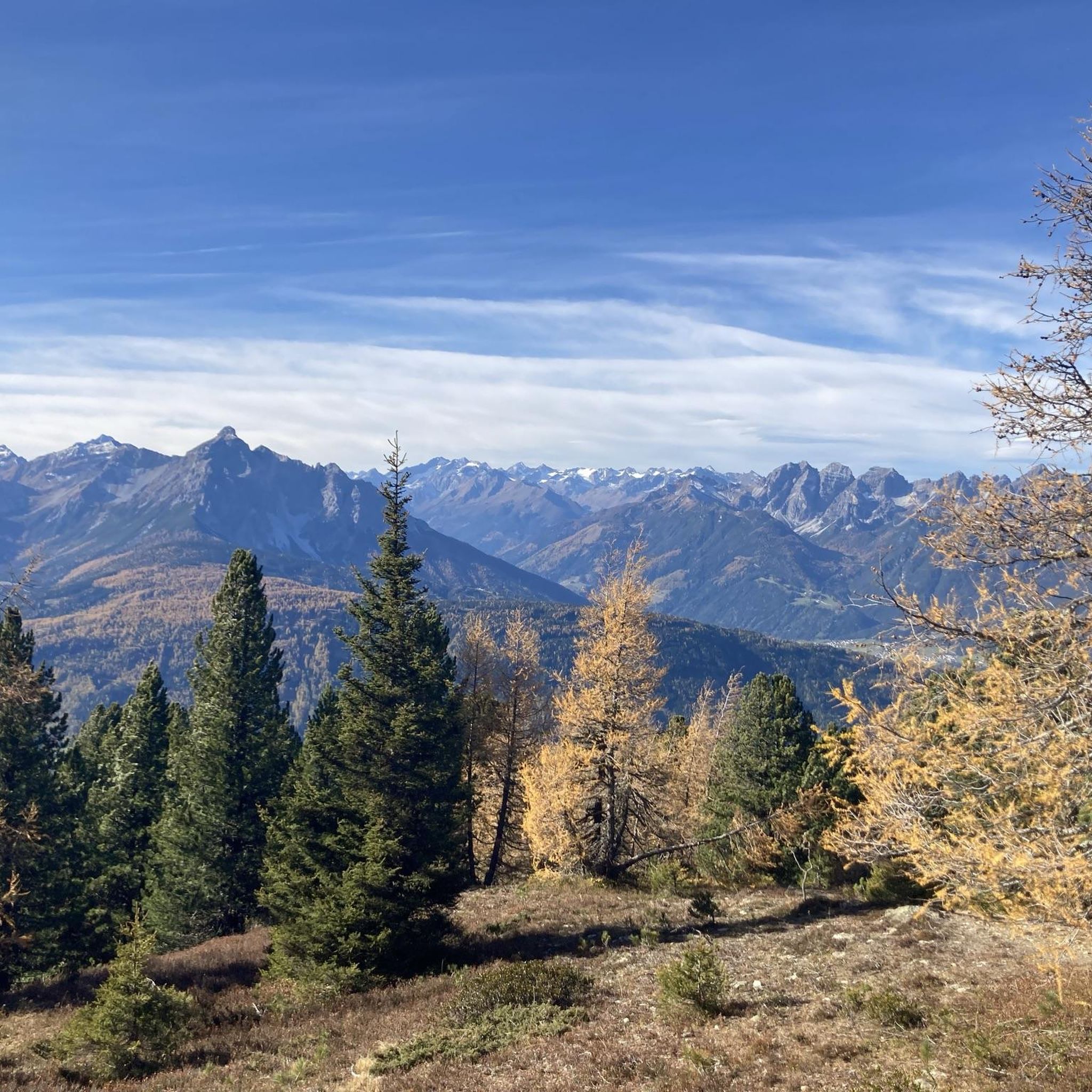
Hiking in Niederstraßer Wald
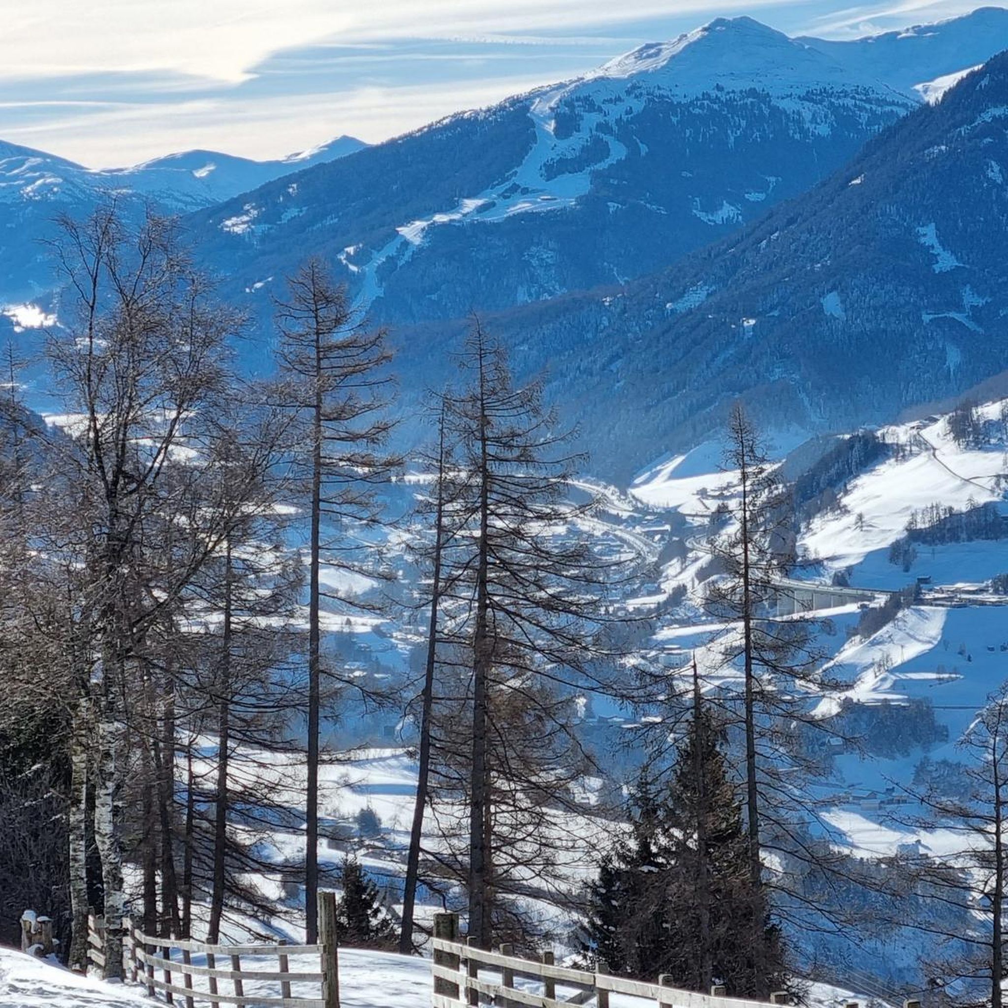
Running Trails in Niederstraßer Wald
Cycling in Niederstraßer Wald
Other adventures in Niederstraßer Wald

Tips from the Community


Since 2014 we have always been in Hippach *** (Hotel Kirchbichlhof) for a week in September 🔝 Maybe in 2023 I'll be able to be up there. I hope so. ✌️👍
1
0

The Kaspress dumplings are very tasty, you can see the house dog Kira, the house cat, pigs, cows, horses and if you go up to the Hochleger there are goats and, with luck, chamois
0
1


At 2,796 meters, the Rosenjoch is the highest mountain in the Voldertal and the western Tux Alps. At the top of the summit cross you have a unique view of the Tux Alps, the valley below you and far into the Inn valley.
0
0
Frequently Asked Questions
What kind of terrain can I expect on mountaineering routes in Niederstraßer Wald?
Mountaineering in Niederstraßer Wald features significant elevation changes and classic alpine terrain. You'll encounter a mix of forested slopes leading to open, rocky mountain landscapes, characteristic of the Wipptal area. Routes often traverse high-altitude paths, offering expansive views and demanding physical exertion on both well-defined trails and more rugged sections.
Are there any circular mountaineering routes in Niederstraßer Wald?
Yes, Niederstraßer Wald offers several excellent circular mountaineering routes. For a moderate option, consider the Arztalhütte – Mountain Spring loop from Oberellbögen, which is about 5.7 miles (9.1 km). If you're looking for a more challenging full-day experience, the Seeblespitz Summit (2,628 m) – Grünbergspitze Summit Cross loop from Oberellbögen is a difficult 11.0 miles (17.7 km) trail.
How difficult are the mountaineering routes in Niederstraßer Wald?
The mountaineering routes in Niederstraßer Wald range from moderate to difficult. While there is one easy route, the majority (47 out of 69) are classified as difficult, with 21 moderate options. Many routes involve ascents exceeding 1000 meters, making them suitable for experienced mountaineers seeking a challenge.
What do other mountaineers say about the routes in Niederstraßer Wald?
The routes in Niederstraßer Wald are highly regarded by the komoot community, boasting an average rating of 4.9 stars from over 80 reviews. Mountaineers often praise the challenging elevation gains, the varied mountain landscapes, and the rewarding high alpine summits.
Are there any routes that lead to prominent summits?
Absolutely. Niederstraßer Wald is known for its prominent summits. A challenging option is the Arztalhütte – Seeblespitz Summit (2,628 m) loop from Oberellbögen, which offers extensive high-alpine terrain and panoramic views from Seeblespitz. Another route, the Morgenköpfl Summit – Arztalhütte loop from Oberellbögen, also takes you to a notable peak.
What is the longest mountaineering route available in Niederstraßer Wald?
Among the listed routes, the Kreuzspitze – Rosenjoch loop from Oberellbögen is one of the longest, covering approximately 10.4 miles (16.8 km) and typically taking around 7 hours 45 minutes to complete. This difficult route involves significant elevation changes.
What is the best time of year for mountaineering in Niederstraßer Wald?
Given the high alpine nature and significant elevation, late spring through early autumn (roughly June to September) is generally the best time for mountaineering in Niederstraßer Wald. During these months, trails are typically free of snow, and weather conditions are more stable, though alpine weather can change quickly. Always check local forecasts before heading out.
Are there any routes suitable for beginners or those new to mountaineering?
While most routes are moderate to difficult, there is one easy mountaineering route available in Niederstraßer Wald. For those new to the area or mountaineering, it's advisable to start with a moderate route like the Arztalhütte – Mountain Spring loop from Oberellbögen to gauge your comfort with the alpine terrain and elevation.
How many mountaineering routes are there in Niederstraßer Wald in total?
There are over 60 mountaineering routes available in Niederstraßer Wald, offering a wide range of options for different skill levels and preferences. The komoot community has explored these routes over 1000 times.
What kind of views can I expect on these routes?
The mountaineering routes in Niederstraßer Wald are renowned for their expansive views. As you ascend through forested slopes to open, rocky mountain landscapes and high-altitude paths, you'll be treated to panoramic vistas typical of the Wipptal area, especially from prominent summits like Seeblespitz and Grünbergspitze.
Are there any routes that feature natural water sources or unique natural features?
Yes, the Arztalhütte – Mountain Spring loop from Oberellbögen specifically highlights a mountain spring along its path, offering a refreshing natural feature during your ascent.
Most popular routes in Niederstraßer Wald

Get inspired with the komoot mobile app


Explore more
Browse the best Mountain Hikes & Routes in other regions.
