The best road cycling routes in Niederstraßer Wald
4.4
(280)
10,656
riders
32
rides
Road cycling in Niederstraßer Wald, located within Tyrol, Austria, offers routes through an alpine environment characterized by extensive forests and views of the surrounding Tyrolean Alps. The region features varied terrain, from challenging ascents over mountain passes to more moderate valley rides. Cyclists can expect roads that wind through natural scenery, often with significant elevation changes. This area provides access to a network of routes that cater to different skill levels, set against a backdrop of majestic mountains and serene…
Last updated: May 25, 2026
6
riders
12.5km
00:38
210m
210m
Easy road ride. Great for any fitness level. Mostly well-paved surfaces and easy to ride.
22
riders
65.5km
03:47
1,470m
1,470m
Hard road ride. Very good fitness required. Some segments of this route may be unpaved and difficult to ride.

Sign up for free
4.9
(11)
829
riders
60.5km
03:10
1,110m
1,110m
Hard road ride. Very good fitness required. Mostly well-paved surfaces and easy to ride.
4.0
(6)
129
riders
42.1km
01:58
460m
460m
Moderate road ride. Good fitness required. Mostly well-paved surfaces and easy to ride.
4.8
(4)
122
riders
32.6km
01:46
650m
650m
Moderate road ride. Good fitness required. Mostly well-paved surfaces and easy to ride.
Get access to more routes and recommendations from other explorers.
Sign up for free
Already have an account?
Our route recommendations are based on thousands of hikes, rides, and runs completed by other people on komoot.
Start today with a free account
Your next adventure awaits.
Login or Signup
Popular around Niederstraßer Wald
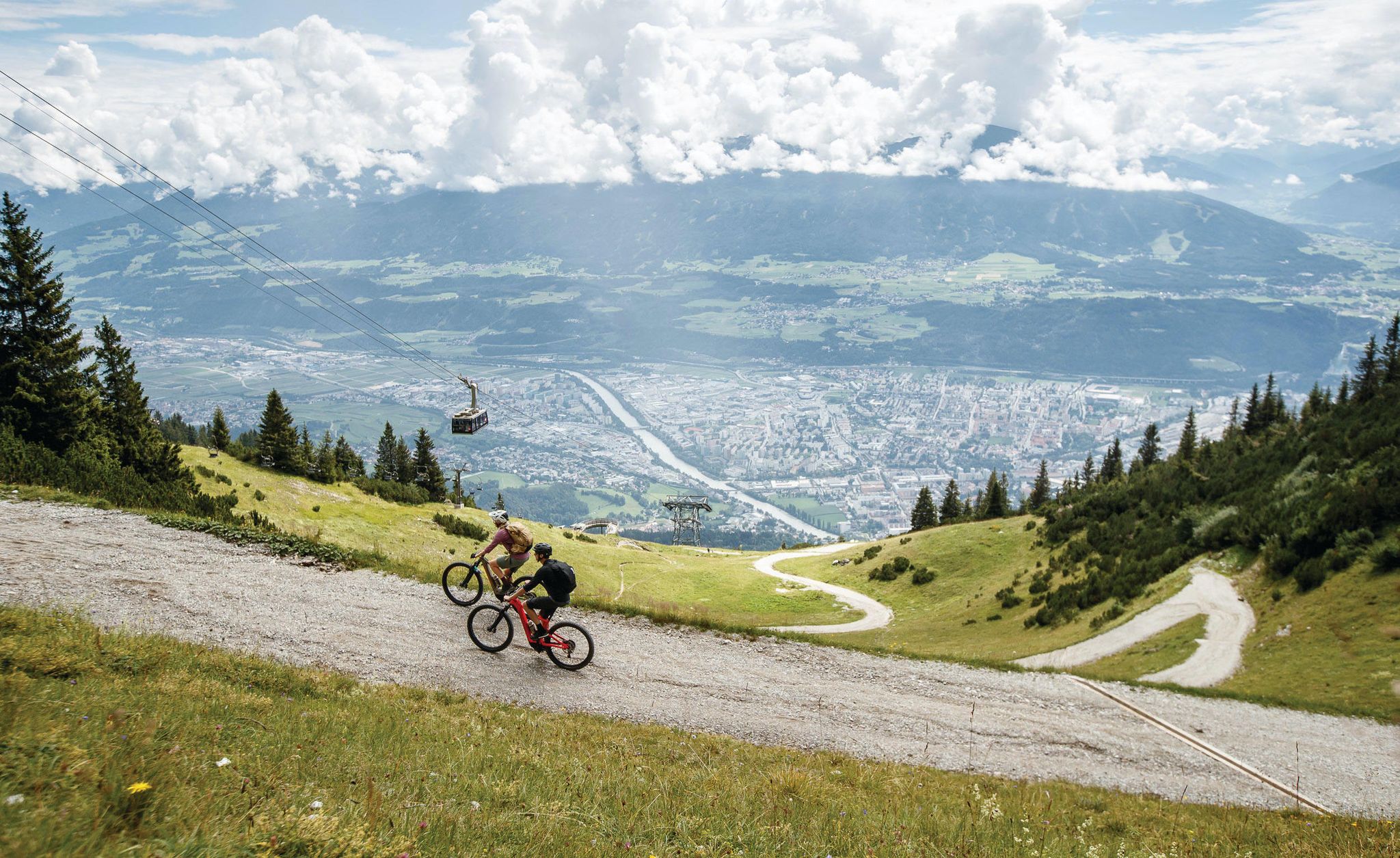
Get out of the city, get on the trail — welcome to Innsbruck!
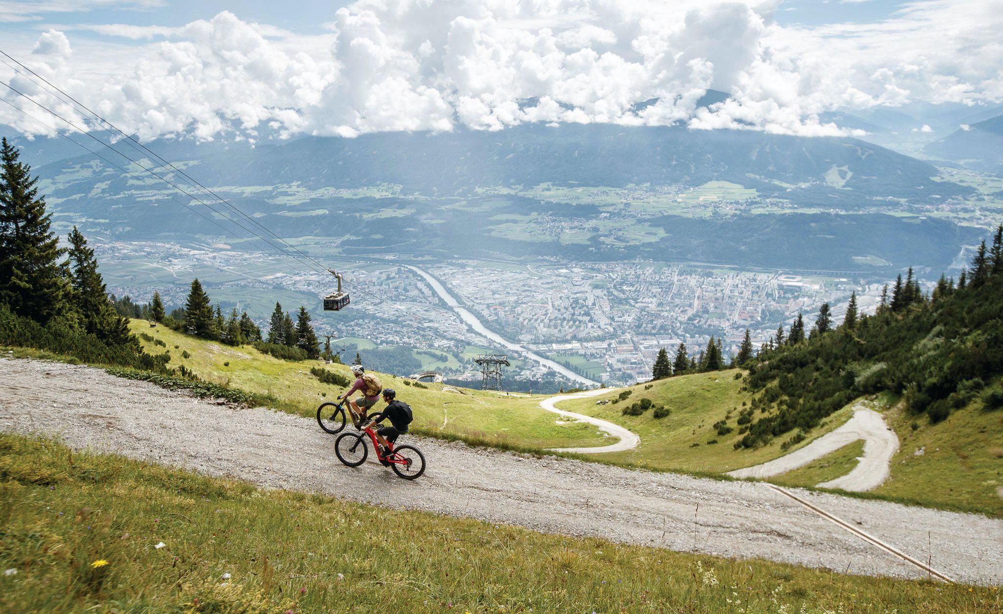
Dream trails as far as your tires will take you — biking in Innsbruck!
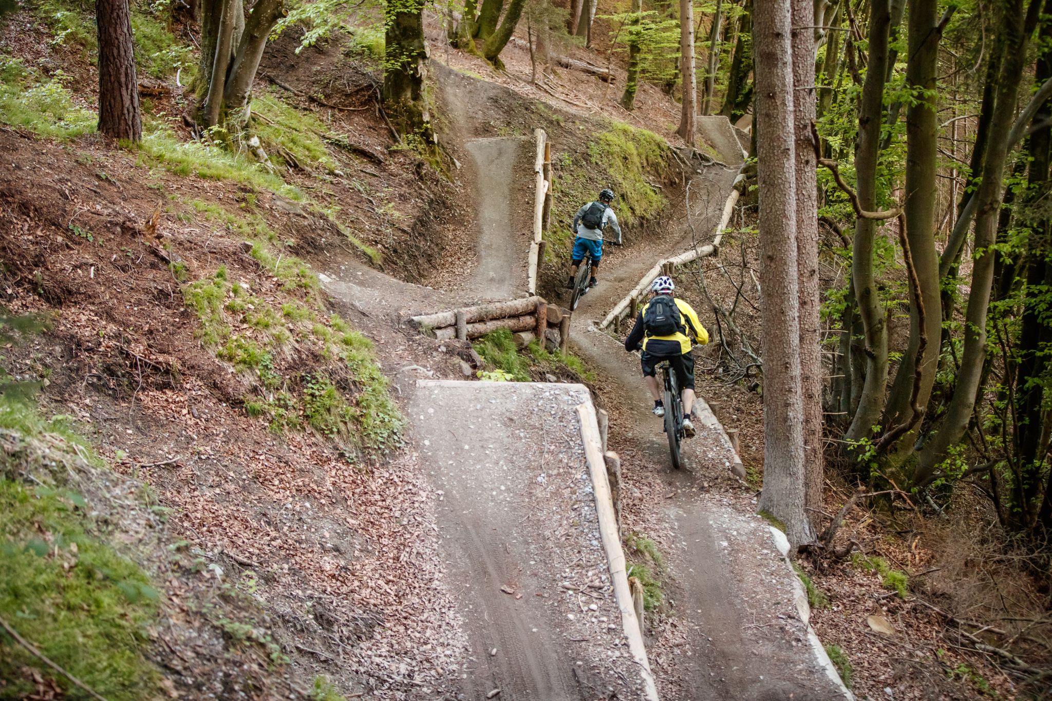
Get out of the city, get on the trail — welcome to Innsbruck!
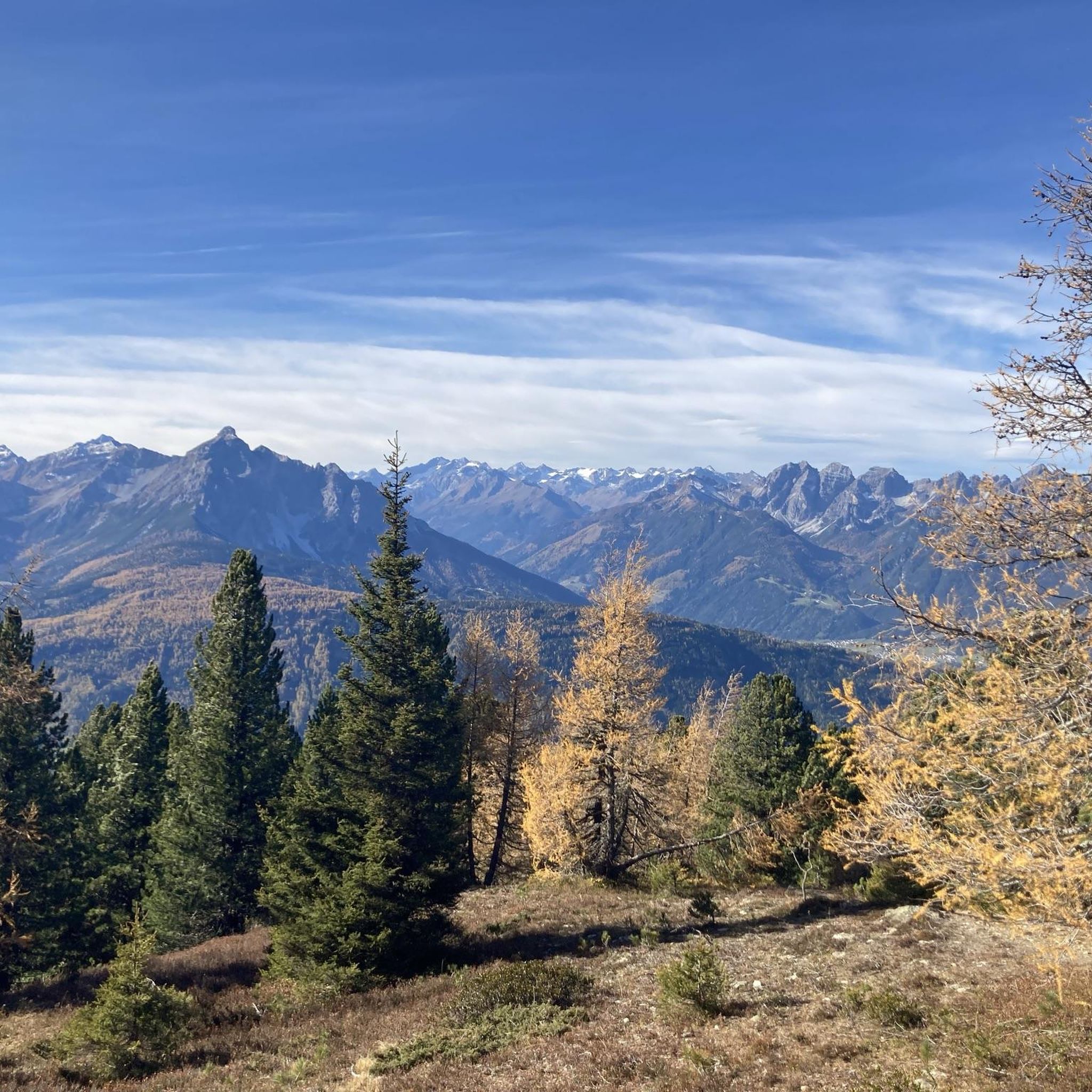
MTB Trails in Niederstraßer Wald
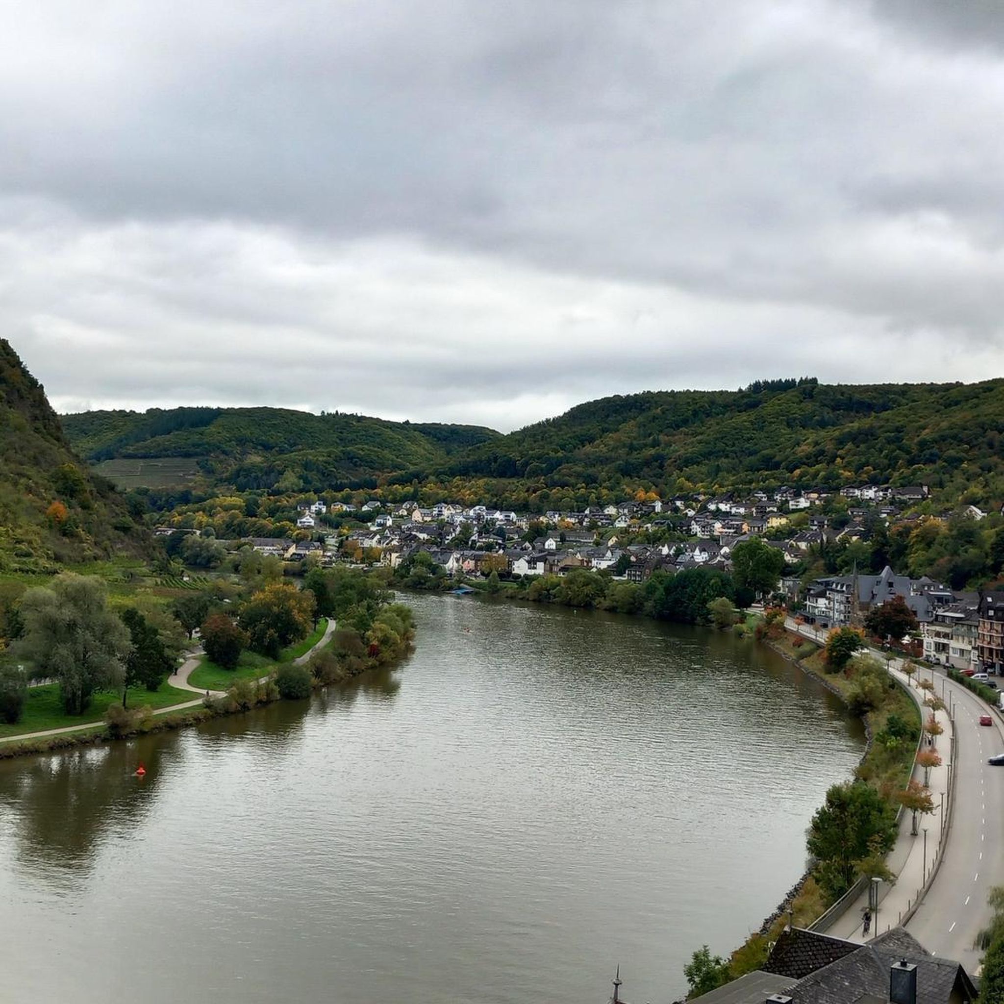
Gravel biking in Niederstraßer Wald
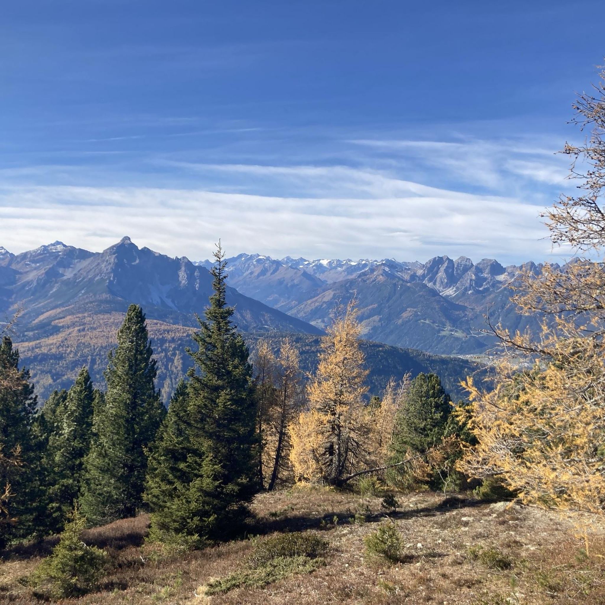
Hiking in Niederstraßer Wald
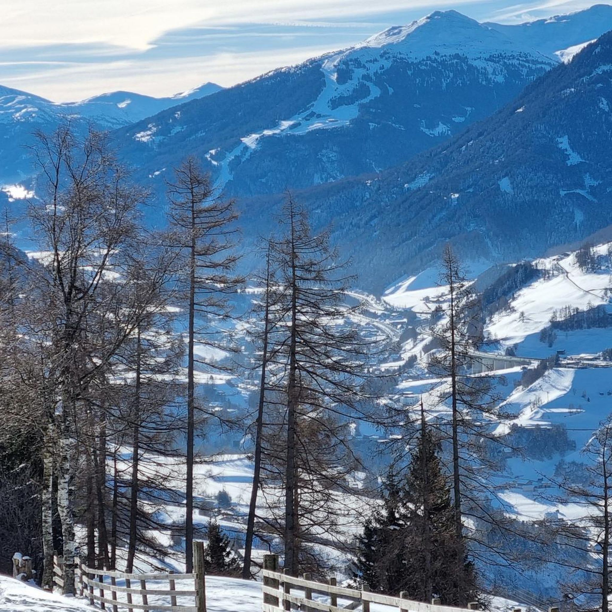
Running Trails in Niederstraßer Wald
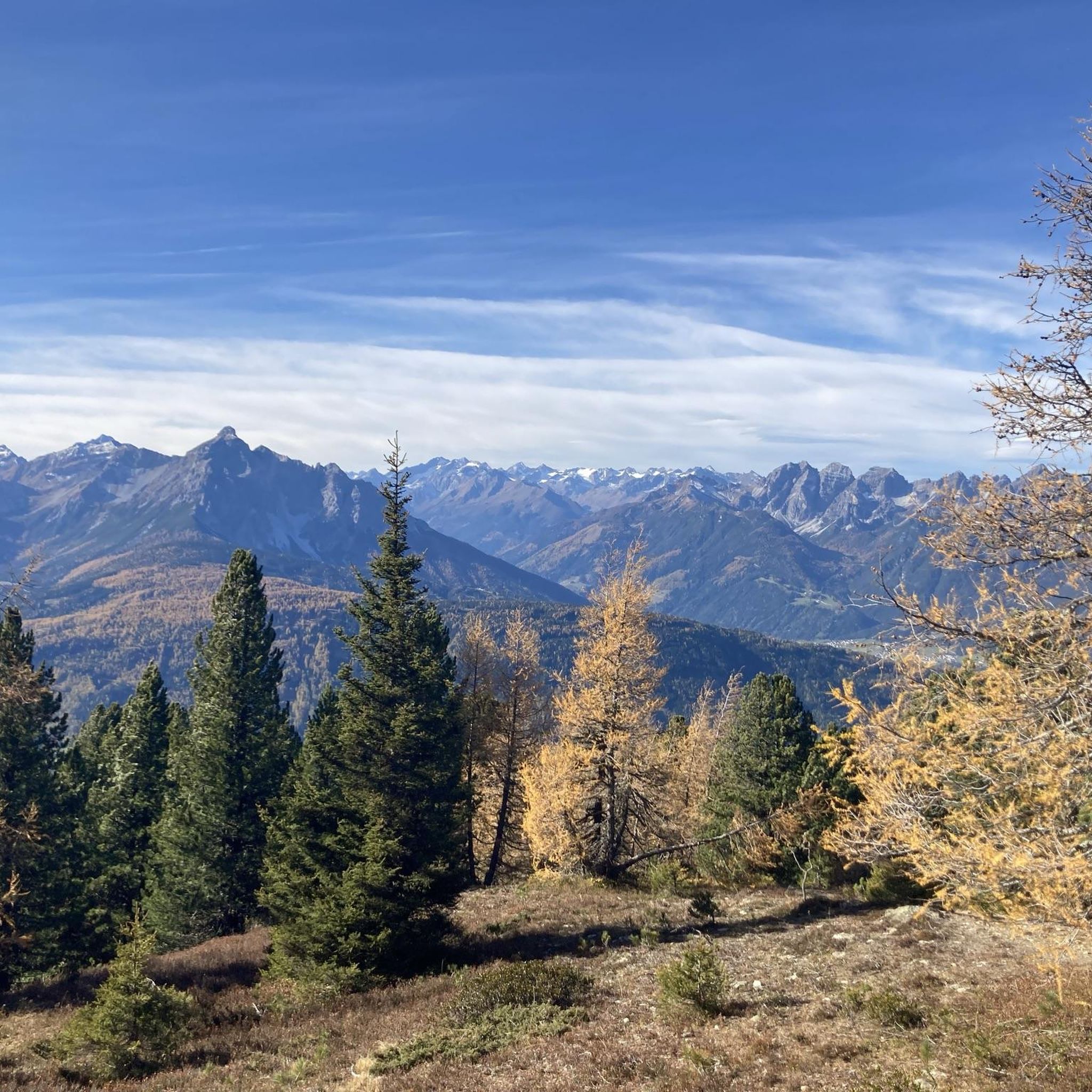
Cycling in Niederstraßer Wald

Mountain Hikes in Niederstraßer Wald
Other adventures in Niederstraßer Wald

Tips from the Community

Available on Zwift - Lutscher route
0
0

Unfortunately, there's no bike path and there's a lot of traffic. Not a great place for me as a cyclist. Really bad for descending or climbing the Brenner Pass. The Italians can do better.
0
0
This isn't a bike path, but the L38 without a bike path, with nasty little climbs and fast-moving through traffic. The view is just a small part of it. There's the motorway, the federal highway, and the L38 here, but no proper bike path. It's a real shame.
2
0

Very nice cycle path with a great panorama of the mountains.
0
1

A nice place to eat well and relax.
0
0

A waterfall that deserves its name. You can take great photos here. Starting point for two huts with the same name (Tribulaunhütte), one in Austria and one in Italy. If you are looking for a tour that goes from Gschnitztal via the Italian Tribulaunhütte to Pflerschtal, take a look at my From Gschnitztal to Pflerschtal 20km tour. Important: the Italian side requires surefootedness and you should not be afraid of heights.
0
0

The Stubai Valley, or simply Stubai, is the largest side valley of the Wipptal and the main valley of the Stubai Alps in the Austrian federal state of Tyrol. It extends 35 km northeast from the main Alpine ridge to the vicinity of the Tyrolean capital of Innsbruck.
1
1

Great for south foehn, at least in one direction 😅
1
0
Frequently Asked Questions
What kind of terrain can I expect when road cycling in Niederstraßer Wald?
Road cycling in Niederstraßer Wald, situated within Tyrol, Austria, offers a diverse alpine environment. You'll encounter varied terrain, ranging from challenging ascents over mountain passes to more moderate valley rides. The routes often feature forest-lined roads and provide stunning views of the surrounding Tyrolean Alps, with significant elevation changes common.
Are there road cycling routes suitable for beginners in Niederstraßer Wald?
Yes, Niederstraßer Wald offers routes for various skill levels. While many routes involve significant climbs, there are options that are less demanding. For example, the region has 3 easy-rated routes and 21 moderate-rated routes, providing choices for those looking for a less strenuous experience compared to the more difficult mountain pass rides.
What are some of the most scenic viewpoints or natural features I can experience while cycling in Niederstraßer Wald?
The region is rich in natural beauty. Many routes offer panoramic views of the Wipptal and Inntal valleys, including vistas of Innsbruck. The broader Tyrolean landscape features majestic mountains, extensive forests, and alpine meadows. You might also encounter features like the Gschnitz Waterfall, which is part of the route Gschnitz Waterfall – Gschnitzbach Meadow Path loop from Matrei am Brenner, offering a beautiful natural highlight.
Are there any road cycling routes that are loops in Niederstraßer Wald?
Yes, many of the road cycling routes in Niederstraßer Wald are designed as loops, allowing you to start and finish at the same point. Examples include the popular Old Roman Road – Wipptal loop from Patsch, the challenging Gries am Brenner – Giovo Pass (Jaufen Pass) loop from Matrei am Brenner, and the scenic View of Wipptal and Inntal – View of Innsbruck loop from Matrei am Brenner.
What is the best time of year for road cycling in Niederstraßer Wald?
Given its alpine location, the best time for road cycling in Niederstraßer Wald is typically from late spring through early autumn (May to October). During these months, the weather is generally milder, and mountain passes are more likely to be clear of snow. Winter cycling can be challenging due to snow and ice, especially at higher elevations.
What do other road cyclists enjoy most about the routes in Niederstraßer Wald?
The road cycling routes in Niederstraßer Wald are highly rated by the komoot community, with an average score of 4.5 stars from over 290 reviews. Cyclists often praise the stunning natural scenery, the varied terrain that caters to different skill levels, and the well-maintained roads that wind through forests and offer panoramic views of the Tyrolean Alps.
Are there any family-friendly road cycling options in Niederstraßer Wald?
While many routes in Niederstraßer Wald involve significant elevation, the region's diverse offerings include some easier and moderate routes that might be suitable for families with older, experienced children. For instance, routes like View of the Europabrücke – Wipptal loop from Matrei am Brenner are rated moderate and offer a shorter distance with less extreme climbing than the most difficult routes.
What are the typical distances and durations for road cycling routes in Niederstraßer Wald?
The routes in Niederstraßer Wald vary significantly in length and duration. You can find shorter, moderate rides around 20-30 miles (30-50 km) taking a few hours, such as the View of the Europabrücke – Wipptal loop from Matrei am Brenner (32.6 miles / 52.5 km). Longer, more challenging routes can extend over 60 miles (100 km) and take 5-6 hours or more, like the Gries am Brenner – Giovo Pass (Jaufen Pass) loop from Matrei am Brenner (62.6 miles / 100.8 km).
Are there opportunities to stop for refreshments or food along the road cycling routes?
Yes, the Tyrolean region is known for its charming villages and traditional ambience, which often include opportunities for breaks. While specific cafes or pubs are not listed for every route, the presence of villages like Matrei am Brenner and Patsch along many routes suggests that you will find places to stop for refreshments, especially in the valley areas.
How many road cycling routes are available in Niederstraßer Wald?
There are over 30 road cycling routes available in Niederstraßer Wald, offering a wide range of options for different skill levels and preferences. This includes 3 easy, 21 moderate, and 10 difficult routes.
What is the most challenging road cycling route in Niederstraßer Wald?
One of the most challenging routes is the Gries am Brenner – Giovo Pass (Jaufen Pass) loop from Matrei am Brenner. This route covers 62.6 miles (100.8 km) and involves significant elevation gain, leading through demanding mountain passes, typically requiring about 5 hours and 37 minutes to complete.
Can I access Niederstraßer Wald's road cycling routes using public transport?
Niederstraßer Wald is located within the Innsbruck-Land district of Tyrol, a region with established infrastructure. While specific public transport details for every trailhead are not provided, the area is generally well-connected. Towns like Matrei am Brenner, which serve as starting points for several routes, are typically accessible via regional public transport, making it possible to reach the cycling areas without a car.
Most popular routes in Niederstraßer Wald

Get inspired with the komoot mobile app


Explore more
Browse the best Road cycling routes in other regions.
