The best running trails in Forêt De La Combe
4.4
(391)
12,819
runners
14
runs
Jogging routes in Forêt De La Combe traverse a diverse landscape in the Vaud district of Nyon, Switzerland. The region features dense forest areas, varied inclines, and open meadow landscapes, particularly around passes like La Baudichonne. These natural features create a mosaic of habitats, offering varied terrain for running. The area is characterized by distinct north and south-facing slopes, providing a dynamic environment for outdoor activities.
Best jogging routes in Forêt De La Combe
- The most popular jogging route is Col de Porte – La Dôle loop from Abbaye de Bonmont, a 11.6 miles (18.7 km) trail that takes 2 hours 54 minutes to complete. This difficult route offers significant elevation gain through varied forest and mountain terrain.
- Another top favourite among local runners is View of La Dôle Summit loop from Abbaye de Bonmont, a difficult 8.6 miles (13.9 km) path. This route provides expansive views towards La Dôle summit and winds through the forest.
- Local runners also love the Baraque à Kuffer loop from Gingins, a 7.5 miles (12.1 km) trail leading through dense woodlands and offering challenging ascents, often completed in about 1 hour 34 minutes.
- Jogging in Forêt De La Combe is defined by dense woodlands, varied inclines, and open meadow landscapes. The network offers options for different ability levels, from moderate to difficult running routes.
- The routes in Forêt De La Combe are highly rated by the komoot community with an average score of 4.4 stars from over 290 reviews. More than 13000 runners have used komoot to explore Forêt De La Combe's varied terrain.
Last updated: August 15, 2026
5.0
(1)
88
runners
18.8km
02:55
1,060m
1,060m
Hard run. Very good fitness required. Sure-footedness, sturdy shoes and alpine experience required.
5.0
(1)
82
runners
13.9km
02:15
860m
860m
Hard run. Very good fitness required. Mostly paved surfaces. Suitable for all skill levels.

Sign up for free
28
runners
9.05km
01:35
660m
660m
Hard run. Very good fitness required. Mostly paved surfaces. Suitable for all skill levels.
23
runners
Hard run. Very good fitness required. Mostly paved surfaces. Suitable for all skill levels.
22
runners
9.83km
01:22
510m
510m
Hard run. Very good fitness required. Mostly paved surfaces. Suitable for all skill levels.
Get access to more routes and recommendations from other explorers.
Sign up for free
Already have an account?
Our route recommendations are based on thousands of hikes, rides, and runs completed by other people on komoot.
Start today with a free account
Your next adventure awaits.
Login or Signup

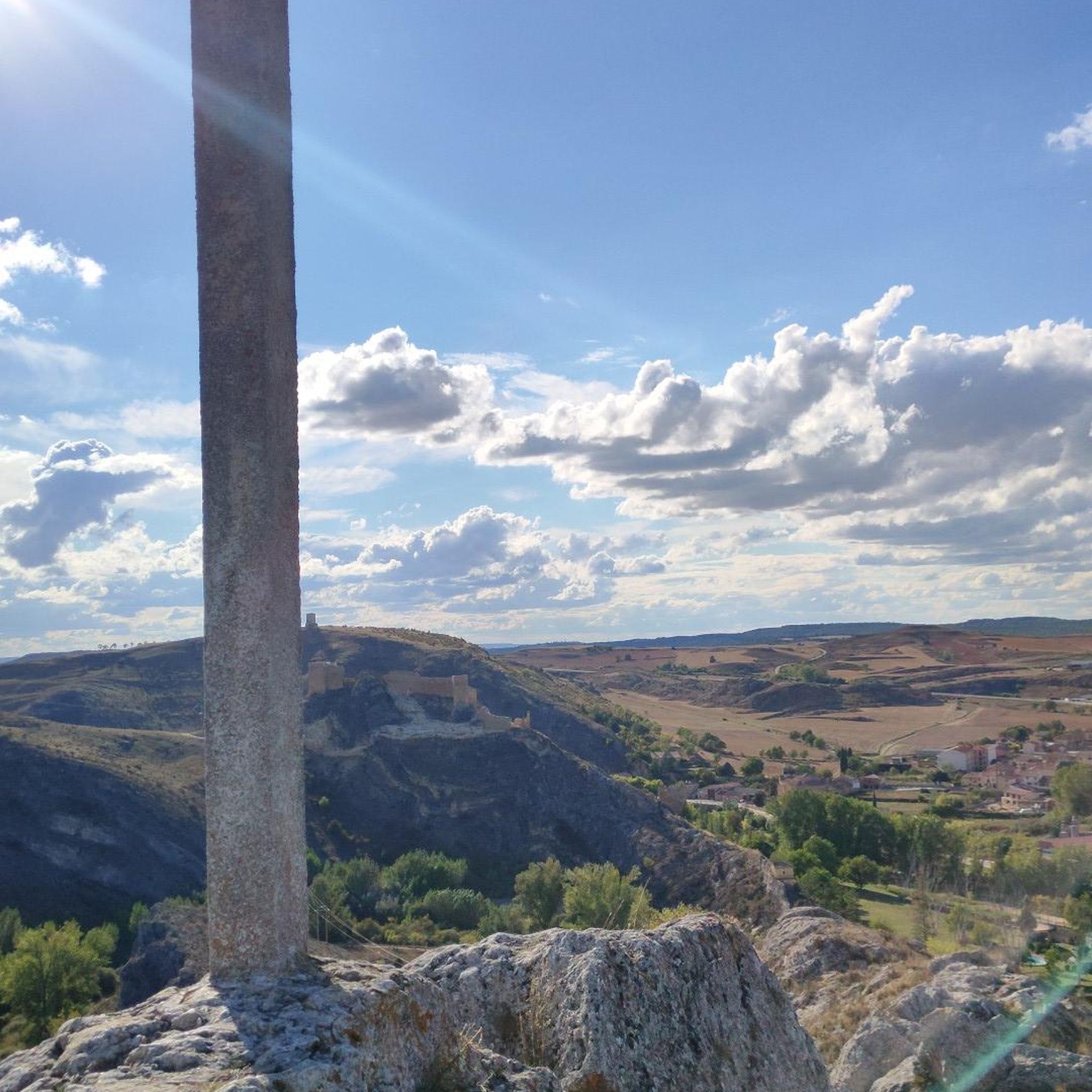
Tips from the Community

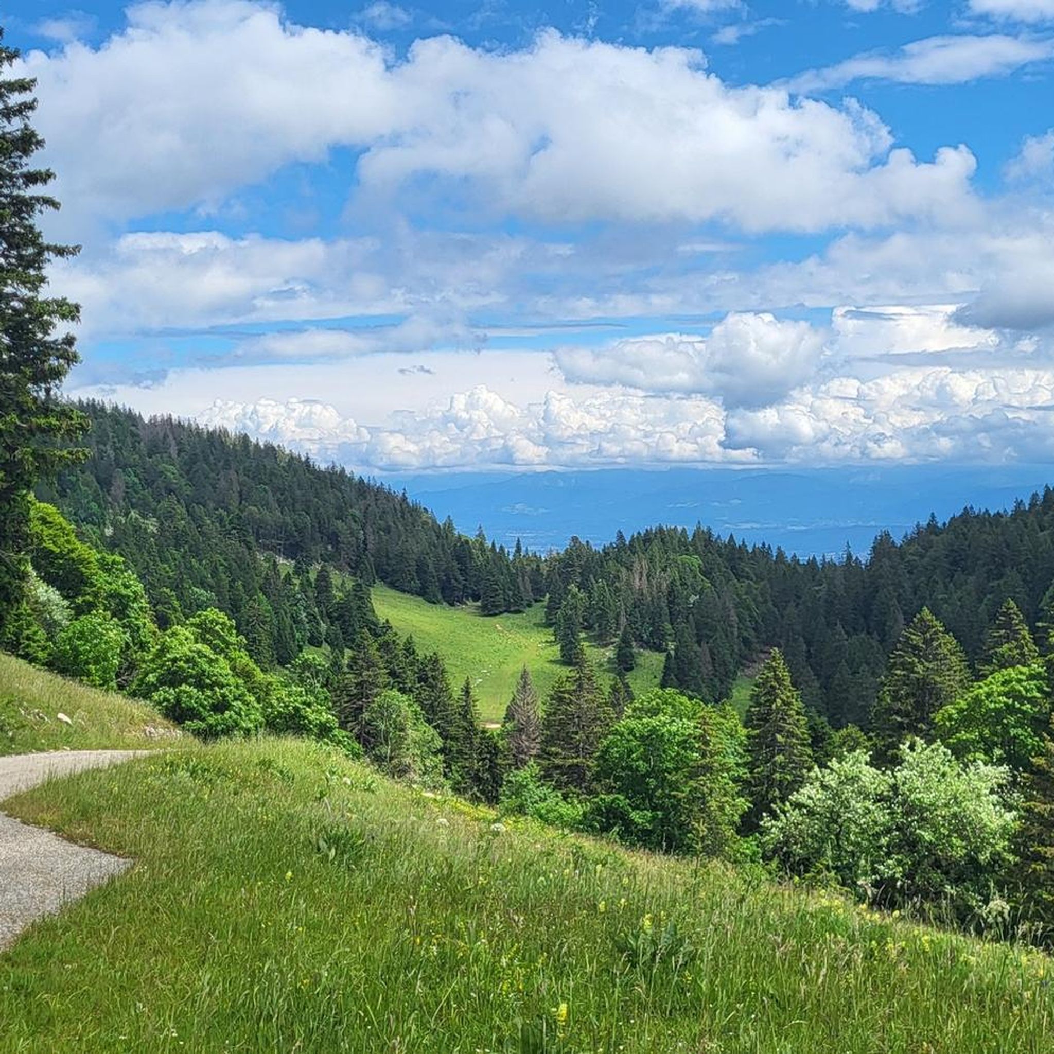
View of Mt. Blanc between the trees
0
0

Greenery, small trail path, wild nature, everything is there to enjoy a breath of fresh air
1
0

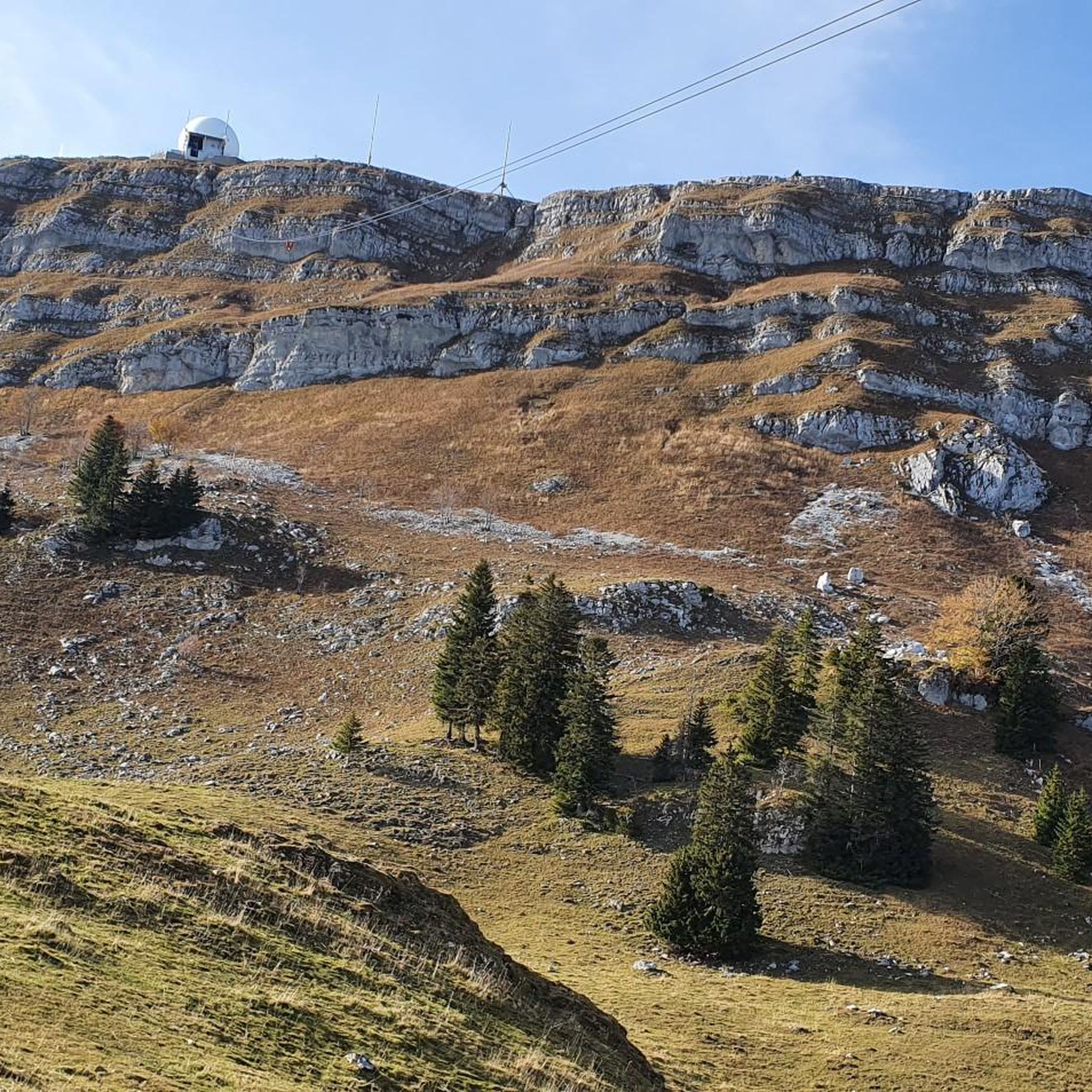
Magnificent view of the summit. Early in the morning, the material gondola is in operation
0
0

Beautiful section of the Jura Ridge Trail
5
1
Beautiful mountain range with a wonderful panorama
5
1

Wonderful place! Great view! The climb is tough and depending on the route you have to push your bike. I chose the climb via La Barillette and had to walk for about 30-45 minutes. There was also a bit of snow which meant a bit more walking.
1
0

Saint-Cergue is a beautiful, typical commune in the canton of Vaud. At an altitude of 1,041 meters, the panoramas of Lake Geneva and the Alps proliferate.
0
0
Frequently Asked Questions
How many running trails are available in Forêt De La Combe?
Forêt De La Combe offers a total of 15 running routes. These include 6 moderate and 9 difficult trails, providing a range of options for different fitness levels.
What kind of terrain can I expect on the jogging routes in Forêt De La Combe?
The running routes in Forêt De La Combe feature a diverse landscape. You'll encounter dense forest areas, varied inclines, and open meadow landscapes, especially around passes like La Baudichonne. The region is characterized by distinct north and south-facing slopes, creating a dynamic environment with natural paths and unpaved sections.
Are there any notable landmarks or attractions to see while running in Forêt De La Combe?
Yes, several interesting landmarks are located within or near the forest. You can explore the Ruins of the Notre-Dame d'Oujon Charterhouse, which are the oldest Carthusian monastery in Switzerland. Another point of interest is the La Baudichonne Pass and Boundary Markers, offering scenic views and varied terrain.
What do other runners enjoy most about the trails in Forêt De La Combe?
The running routes in Forêt De La Combe are highly rated by the komoot community, with an average score of 4.4 stars from over 290 reviews. Runners often praise the varied terrain, the challenging ascents, and the beautiful forest and mountain scenery. Over 13,000 runners have used komoot to explore this area.
Are there any long-distance running options in Forêt De La Combe?
Yes, Forêt De La Combe offers several longer running routes. For example, the Col de Porte – La Dôle loop from Abbaye de Bonmont is a challenging 11.6-mile (18.7 km) trail with significant elevation gain, typically taking almost 3 hours to complete.
Are there any circular running routes available?
Many of the routes in Forêt De La Combe are designed as loops, offering a circular experience. A popular option is the View of La Dôle Summit loop from Abbaye de Bonmont, an 8.6-mile (13.9 km) path that provides expansive views and winds through the forest.
What is the difficulty level of most running routes in this region?
The majority of running routes in Forêt De La Combe are classified as moderate to difficult. There are 6 moderate routes and 9 difficult routes, making it an ideal location for runners seeking a challenge with significant elevation changes.
Can I find running routes with good viewpoints in Forêt De La Combe?
Absolutely. The region's varied landscape includes passes and elevated sections that offer scenic vistas. The View of La Dôle Summit loop from Abbaye de Bonmont is specifically known for its expansive views towards La Dôle summit.
Are there any running trails that lead through dense woodlands?
Yes, Forêt De La Combe is characterized by its dense woodlands. The Baraque à Kuffer loop from Gingins is a 7.5-mile (12.1 km) trail that leads directly through these dense forests, offering a classic forest running experience with challenging ascents.
Are there any running routes that are less strenuous for a moderate workout?
While many routes are challenging, there are 6 moderate running routes available. These still offer a good workout but might have less extreme elevation changes compared to the difficult trails. You can find options that balance effort with enjoyment.
What are the typical elevation gains on the running routes?
The running routes in Forêt De La Combe often feature significant elevation gains. For instance, the Col de Porte – La Dôle loop involves over 1000 meters of ascent, providing a substantial challenge for runners.
Are there any specific trails that are popular among local runners?
Local runners frequently enjoy routes like the Baraque à Kuffer loop from Gingins, known for its challenging ascents and dense woodlands. Another favorite is the Saint-Cergue – Saint-Cergue loop from Gingins, which offers a good distance and varied terrain.
Most popular routes in Forêt De La Combe
Most popular attractions in Forêt De La Combe

Get inspired with the komoot mobile app


Explore more
Browse the best Running Trails & Routes in other regions.
