The best road cycling routes in Finstertalwald
4.6
(66)
2,416
riders
46
rides
Road cycling routes in Finstertalwald traverse a landscape characterized by dense forests, river valleys, and significant elevation changes. The region features a mix of challenging climbs leading to alpine pastures and panoramic viewpoints, alongside more moderate routes that follow rivers like the Enns. Road cyclists can expect varied terrain, from winding roads through woodlands to open sections offering views of the surrounding mountains and lakes.
Best road cycling routes in Finstertalwald
- The most popular road cycling route is Gröbming –…
Last updated: July 5, 2026
5.0
(2)
97
riders
37.7km
02:43
1,150m
1,150m
Hard road ride. Very good fitness required. Mostly well-paved surfaces and easy to ride.
6
riders
Moderate road ride. Good fitness required. Mostly well-paved surfaces and easy to ride.

Sign up for free
5.0
(1)
151
riders
143km
07:35
2,580m
2,580m
Hard road ride. Very good fitness required. Some segments of this route may be unpaved and difficult to ride.
4.7
(13)
156
riders
66.9km
02:48
430m
430m
Moderate road ride. Good fitness required. Mostly well-paved surfaces and easy to ride.
4.9
(11)
233
riders
56.9km
02:39
640m
640m
Moderate road ride. Good fitness required. Mostly well-paved surfaces and easy to ride.
Get access to more routes and recommendations from other explorers.
Sign up for free
Already have an account?
Our route recommendations are based on thousands of hikes, rides, and runs completed by other people on komoot.
Start today with a free account
Your next adventure awaits.
Login or Signup
Tips from the Community

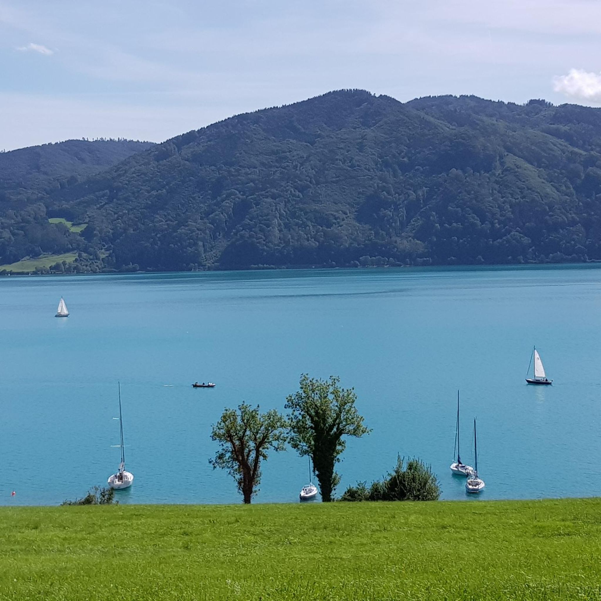
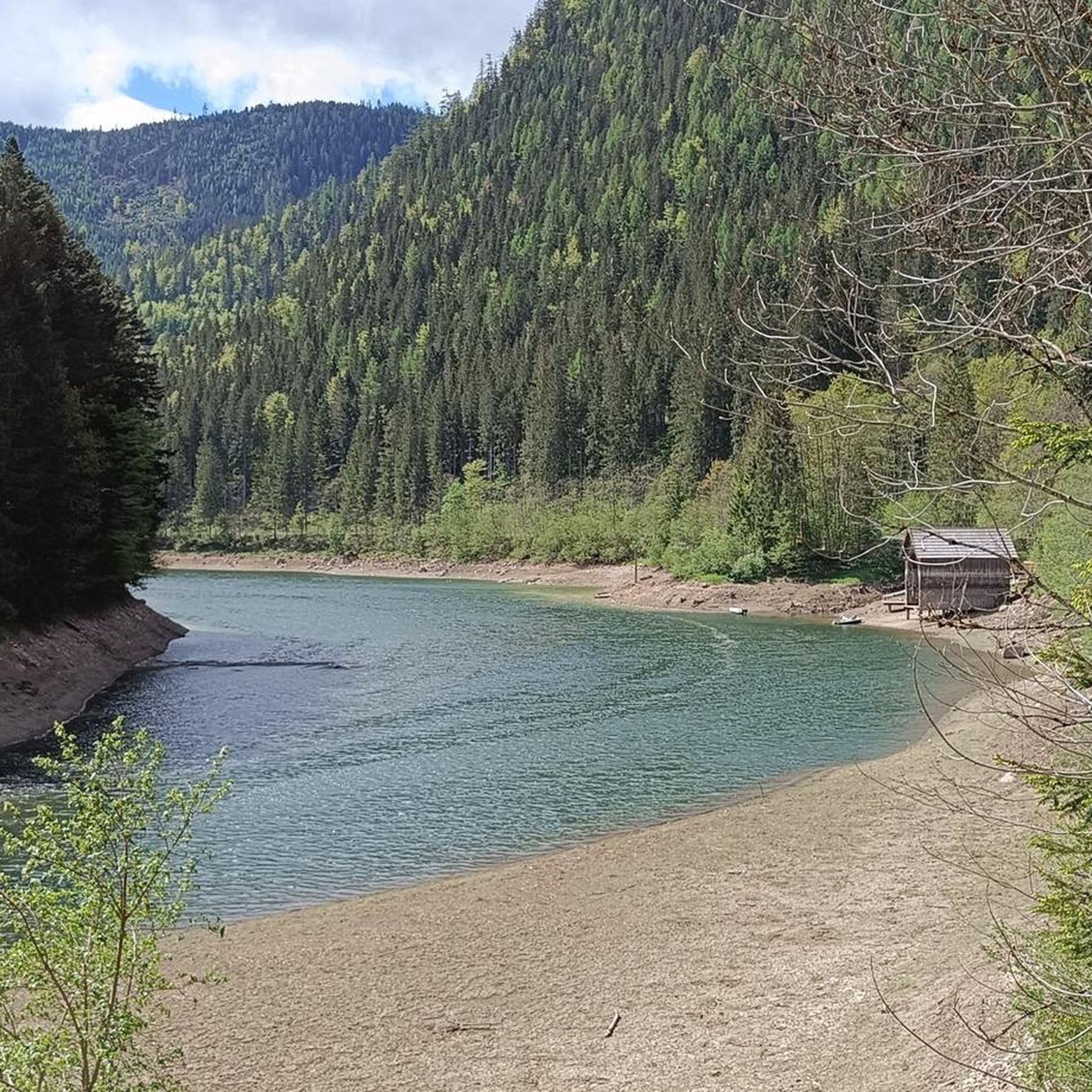
Beautiful view of the lake from the bike path
0
0


The Toidlbach Waterfall is located directly on the Postalm road and is easily visible. The stream cascades over a striking rock face, creating an impressive natural spectacle, especially during rain or snowmelt. For cyclists on the ascent to the Postalm, the waterfall offers a welcome opportunity to pause for a moment and enjoy the natural beauty of the surrounding area.
1
0

Stoderzinken with a visit to the Kicherl is a must in Gröbming
0
0

The Rossfeld parking area on the Stoderzinken mountain is a great starting point for your hikes, located directly on the toll road, the Stoderzinken Panorama Road. If you're coming from Gröbming, it's only about a 13-kilometer drive. The parking area is right next to the popular Rosemi Alm mountain hut, a perfect spot for a break. From here, you can immediately set off on the trail to the Stoderzinken summit, where a magnificent view awaits you! The Friedenskircherl (Peace Chapel) is also nearby and invites you to a moment of quiet reflection. The surrounding area is quite picturesque and full of beautiful hiking trails, ideal for all ages. Don't forget to pack plenty of provisions, as nature has a lot to offer! So, lace up your hiking boots and discover the stunning mountain scenery around the Stoderzinken!
1
0

Frequently Asked Questions
What is the general difficulty level of road cycling routes in Finstertalwald?
Finstertalwald offers a diverse range of road cycling routes. You'll find everything from moderate rides, often following river valleys, to difficult ascents with significant elevation changes leading to alpine pastures. Out of 48 available routes, 28 are rated moderate, and 14 are difficult, catering to various skill levels.
Are there easy road cycling routes suitable for beginners in Finstertalwald?
Yes, Finstertalwald does offer some easier road cycling options. There are 6 routes specifically rated as easy, often characterized by gentler terrain along river valleys. These are ideal for beginners or those looking for a more relaxed ride.
Where can I find challenging road cycling routes with significant climbs in Finstertalwald?
For challenging rides, Finstertalwald is known for its demanding climbs. Routes like the Gröbming – Gröbminger Alm loop from Mitterberg-Sankt Martin feature substantial ascents towards alpine pastures. Another difficult option is the extensive Postalm Panorama Road – Hallstatt loop from Bad Mitterndorf-Heilbrunn, which covers mountainous terrain.
What is the typical length and duration of road cycling routes in Finstertalwald?
Route lengths and durations vary significantly. For example, the moderate Grimmingtor Viewpoint Bench – View of Sölktal loop from Mitterberg-Sankt Martin is about 15.4 miles (24.7 km) and takes around 2 hours 20 minutes. Longer, more challenging routes, such as the Postalm Panorama Road – Hallstatt loop from Bad Mitterndorf-Heilbrunn, can be up to 88.6 miles (142.6 km) and take over 7 hours.
When is the best time of year for road cycling in Finstertalwald?
The best time for road cycling in Finstertalwald is typically from late spring to early autumn (May to October). During these months, the weather is generally milder, and mountain passes are clear of snow, offering optimal conditions for exploring the region's diverse terrain.
What scenic viewpoints or attractions can I expect to see along road cycling routes in Finstertalwald?
Many routes offer stunning views and pass by notable attractions. You might encounter sights like the Salza Reservoir or the impressive Salza Waterfall. The Grimmingtor Viewpoint Bench – View of Sölktal loop from Mitterberg-Sankt Martin, for instance, provides scenic views over the Sölktal valley.
Are there any notable landmarks or natural sights to explore while road cycling in Finstertalwald?
Absolutely. Beyond the routes themselves, Finstertalwald is home to several points of interest. Cyclists can explore the Enns Valley Cycle Path, visit the historic Frauenbild Shrine at Pass-Stein, or even catch glimpses of the Hochmühleck Summit from various vantage points.
Are there circular road cycling routes available in Finstertalwald?
Yes, many road cycling routes in Finstertalwald are designed as loops, allowing you to start and finish at the same point. Examples include the Gröbming – Gröbminger Alm loop from Mitterberg-Sankt Martin and the Gröbming – Along the Enns River loop from Mitterberg-Sankt Martin.
What do other road cyclists enjoy the most about road cycling in Finstertalwald?
The road cycling experience in Finstertalwald is highly rated by the komoot community, with an average score of 4.6 stars from over 50 reviews. Cyclists often praise the region's varied terrain, from winding roads through dense forests to open sections with panoramic mountain and lake views, as well as the challenging climbs and scenic river valleys.
How can I find less crowded road cycling routes in Finstertalwald?
To find less crowded routes, consider exploring some of the less popular, yet equally rewarding, options available. While the main routes like Gröbming – Gröbminger Alm are well-loved, there are 48 routes in total, offering plenty of alternatives. Cycling during off-peak hours or weekdays can also help you enjoy a quieter experience.
Are there routes that follow river valleys in Finstertalwald?
Yes, Finstertalwald features several road cycling routes that follow picturesque river valleys. The Gröbming – Along the Enns River loop from Mitterberg-Sankt Martin is a great example, offering a moderate ride through scenic river landscapes.
What kind of terrain can I expect on road cycling routes in Finstertalwald?
Road cycling in Finstertalwald offers a diverse terrain. You'll encounter winding roads through dense forests, open sections providing views of surrounding mountains and lakes, and routes that follow river valleys. Expect a mix of challenging climbs, especially towards alpine pastures, and more moderate, flatter sections.
Most popular routes in Finstertalwald
Most popular attractions in Finstertalwald

Get inspired with the komoot mobile app


Explore more
Browse the best Road cycling routes in other regions.
