The best walks and hikes in Finstertalwald
4.5
(4295)
24,583
hikers
496
hikes
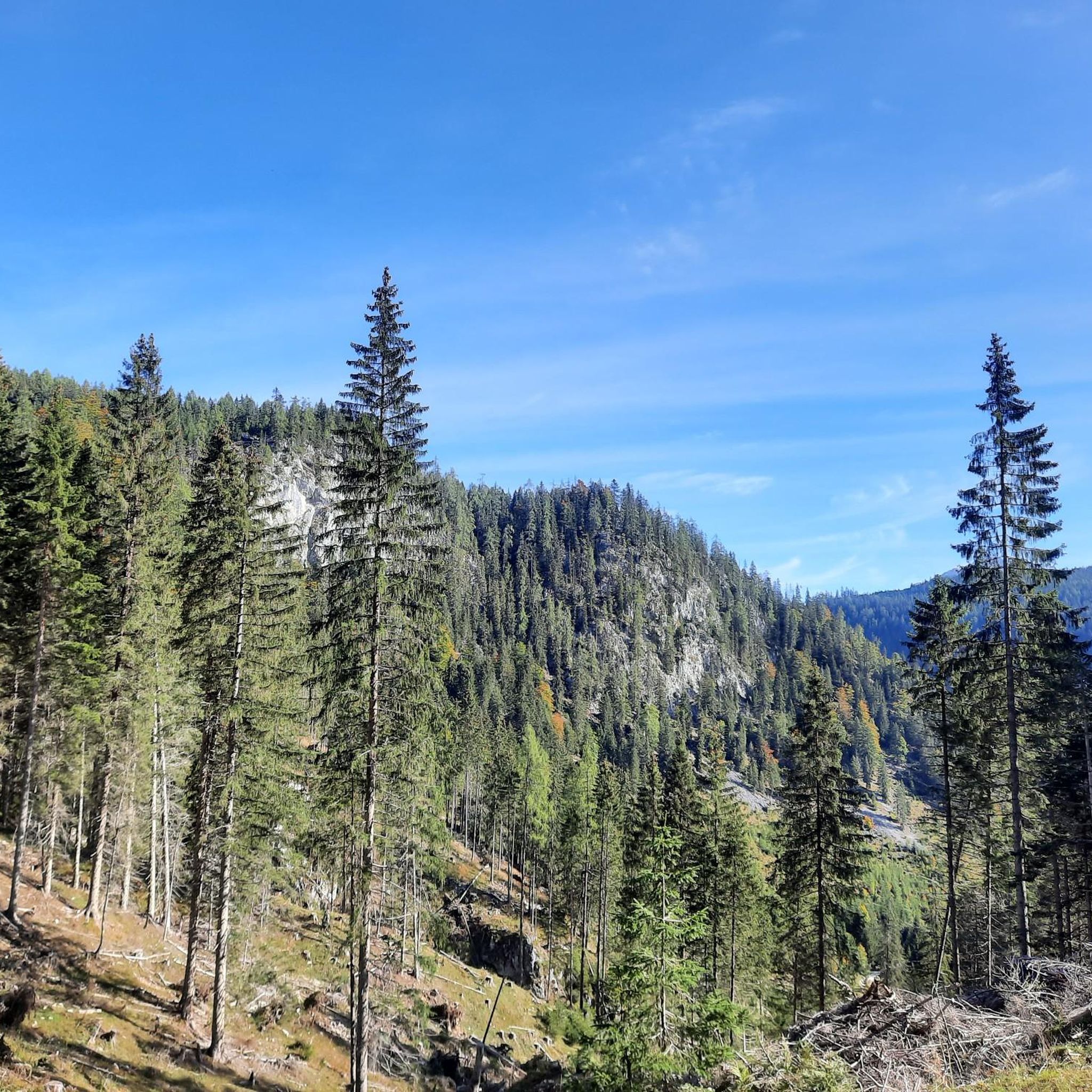
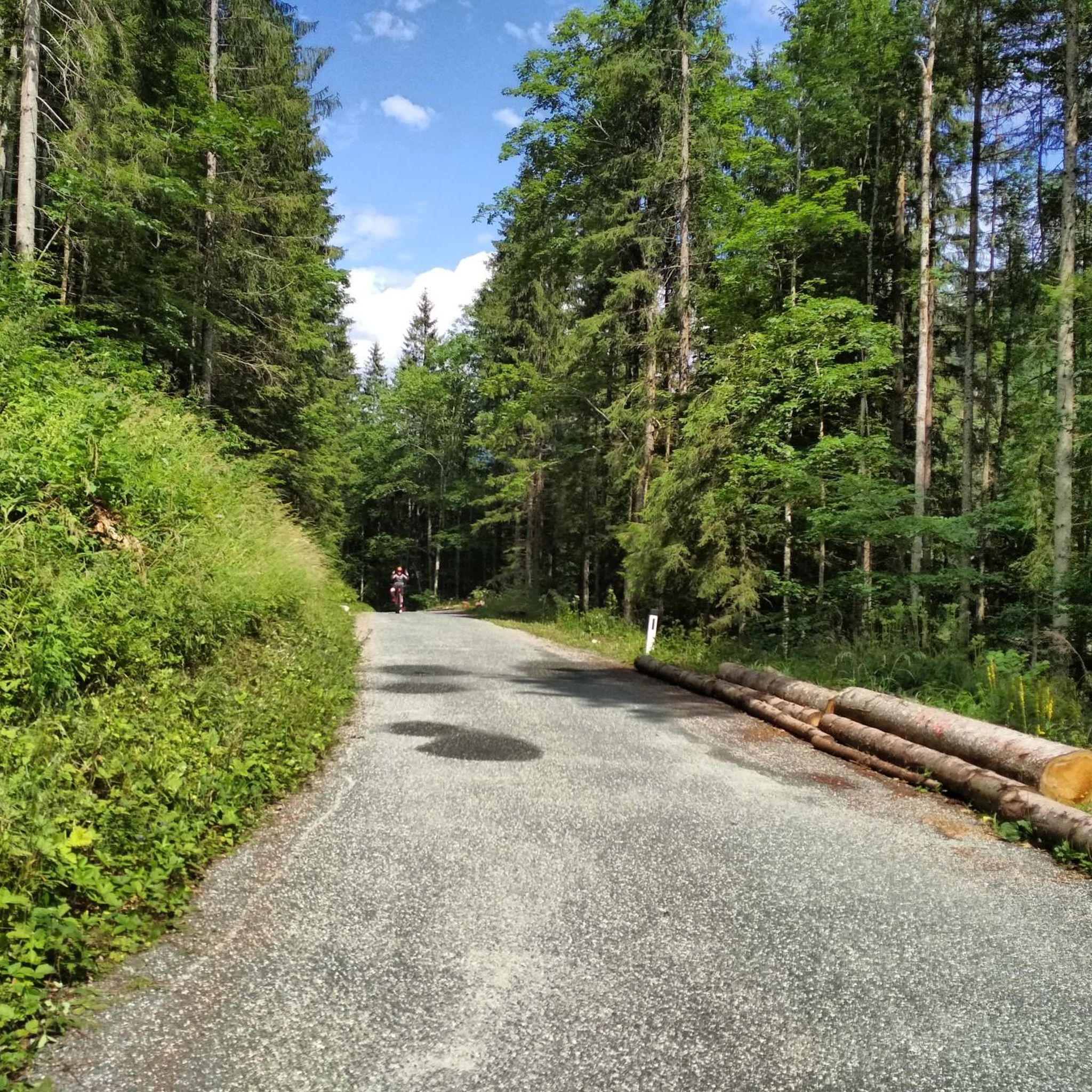
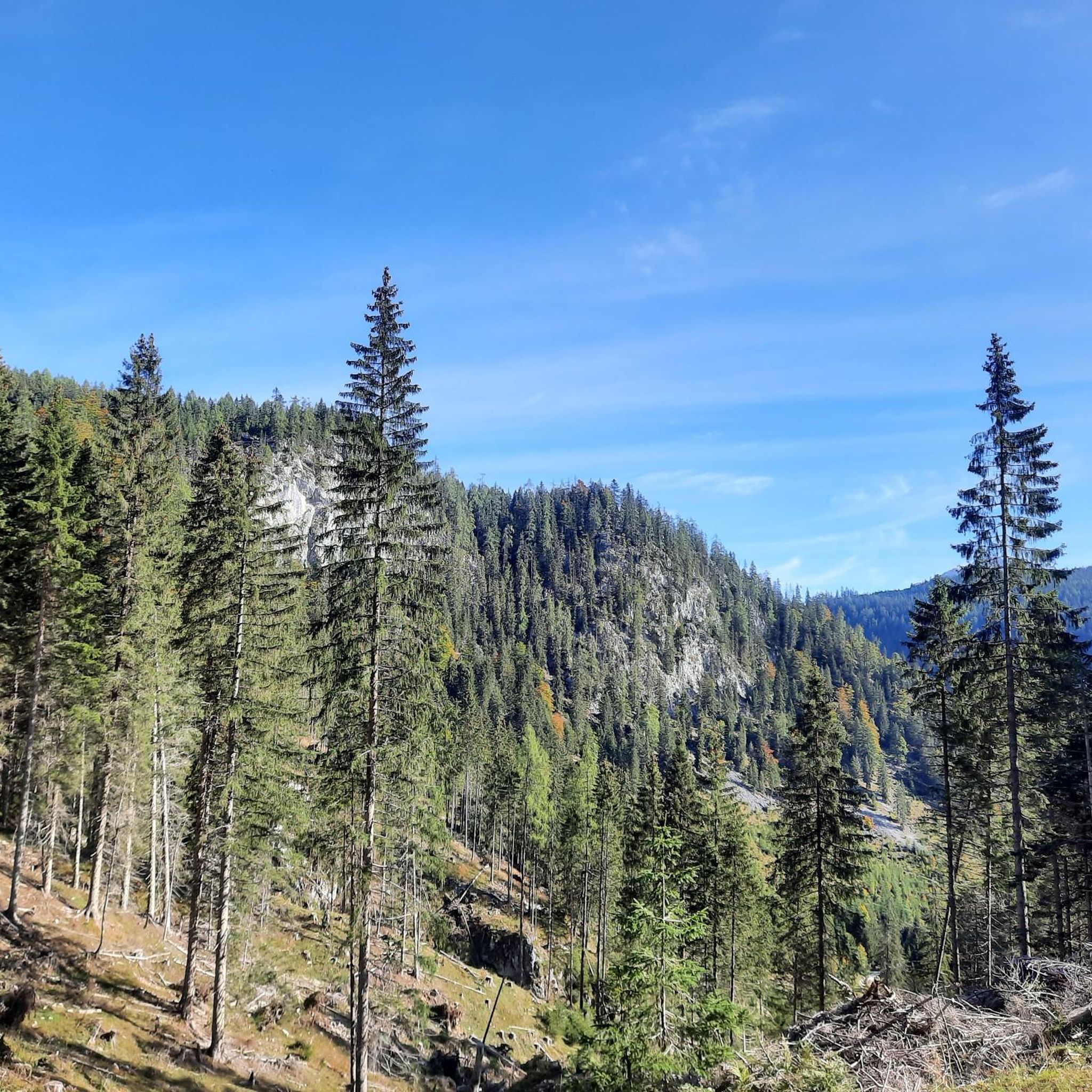
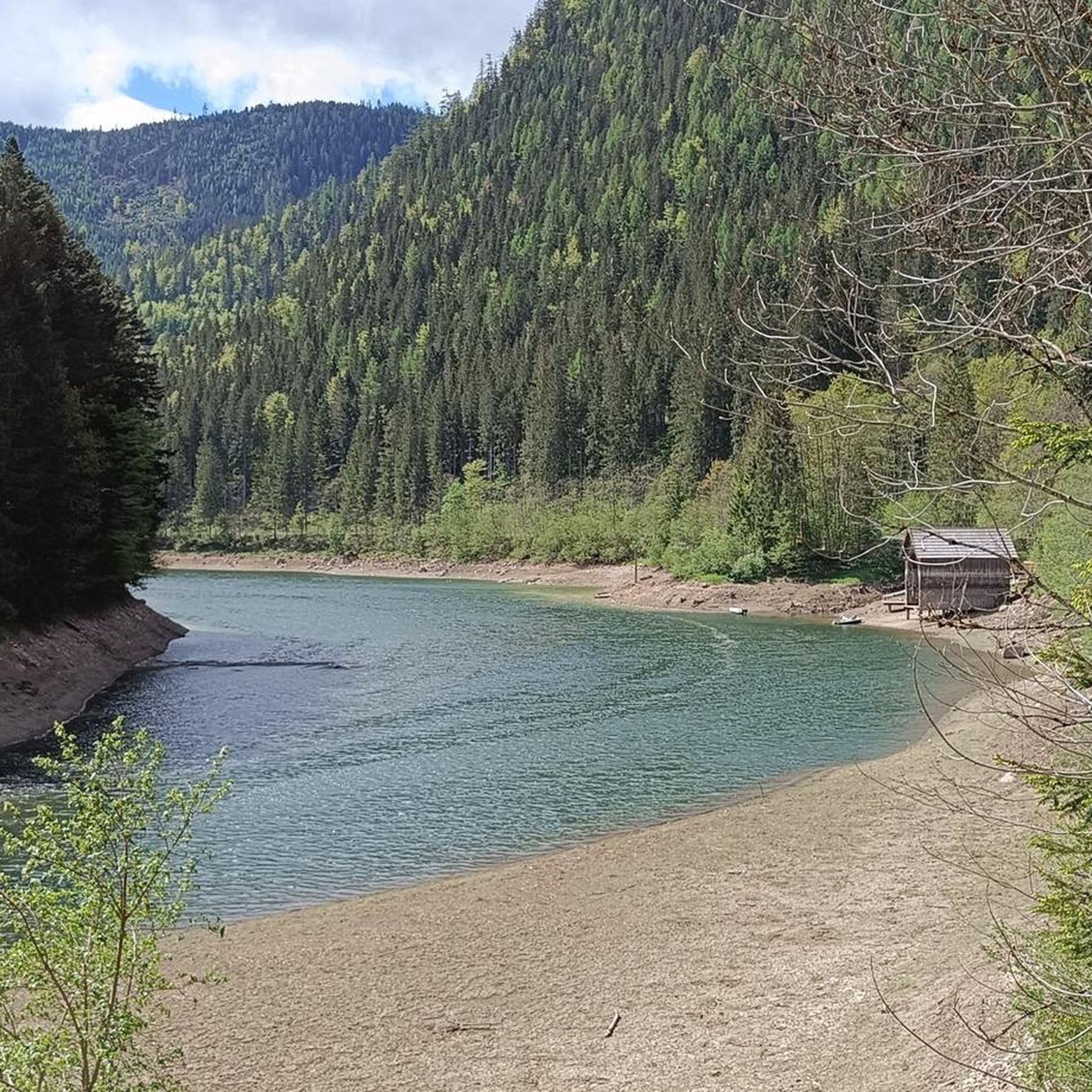
Hiking in Finstertalwald, a forest located in Liezen, Austria, features a landscape characterized by dense woodlands, a prominent reservoir, and notable waterfalls. The terrain includes varied elevation changes, with routes traversing forest paths and leading to scenic viewpoints. The region offers a mix of easy, moderate, and difficult trails, catering to different hiking preferences.
Best hiking trails in Finstertalwald
- The most popular hiking route is Inflow to Salzastausee – Salzastausee loop from Stausee Paß Stein, a 2.2 miles (3.5…
Last updated: July 10, 2026
4.4
(40)
144
hikers
Hard hike. Good fitness required. Sure-footedness, sturdy shoes and alpine experience required.
4.6
(14)
105
hikers
6.59km
01:47
80m
80m
Easy hike. Great for any fitness level. Easily-accessible paths. Suitable for all skill levels.

Sign up for free
4.3
(12)
37
hikers
13.5km
03:51
320m
320m
Moderate hike. Good fitness required. Easily-accessible paths. Suitable for all skill levels.
4.6
(12)
40
hikers
Easy hike. Great for any fitness level. Easily-accessible paths. Suitable for all skill levels.
5.0
(4)
21
hikers
Moderate hike. Good fitness required. Easily-accessible paths. Suitable for all skill levels.
Get access to more routes and recommendations from other explorers.
Sign up for free
Already have an account?
Our route recommendations are based on thousands of hikes, rides, and runs completed by other people on komoot.
Start today with a free account
Your next adventure awaits.
Login or Signup
Tips from the Community

Exciting sculptures on a sunny, walker-friendly path
0
0

Dam...along the water you can walk well
1
0

Along the road to the dam is this impressive waterfall
1
0
A lovely place to chill with a great view of two waterfalls. You can also cool your feet in the cool water.
0
0

There is a beautiful little wooden bridge over the Salza, from which you have great views of the river and the mountains.
0
0

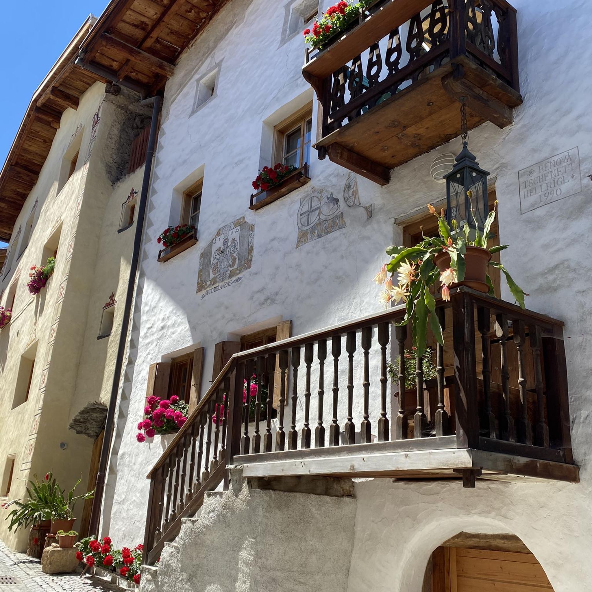
Bad Mitterndorf is a picturesque town in Styria, known for its breathtaking mountain scenery and diverse leisure opportunities. The region is particularly popular for its wellness offers and as a starting point for numerous hikes and ski tours.
2
0

Dreamy place with beautiful houses
0
0
Frequently Asked Questions
How many hiking trails are available in Finstertalwald?
Finstertalwald offers a wide selection of hiking routes, with over 500 trails recorded on komoot. These routes cater to various preferences, from easy walks to more challenging ascents.
What kind of terrain can I expect when hiking in Finstertalwald?
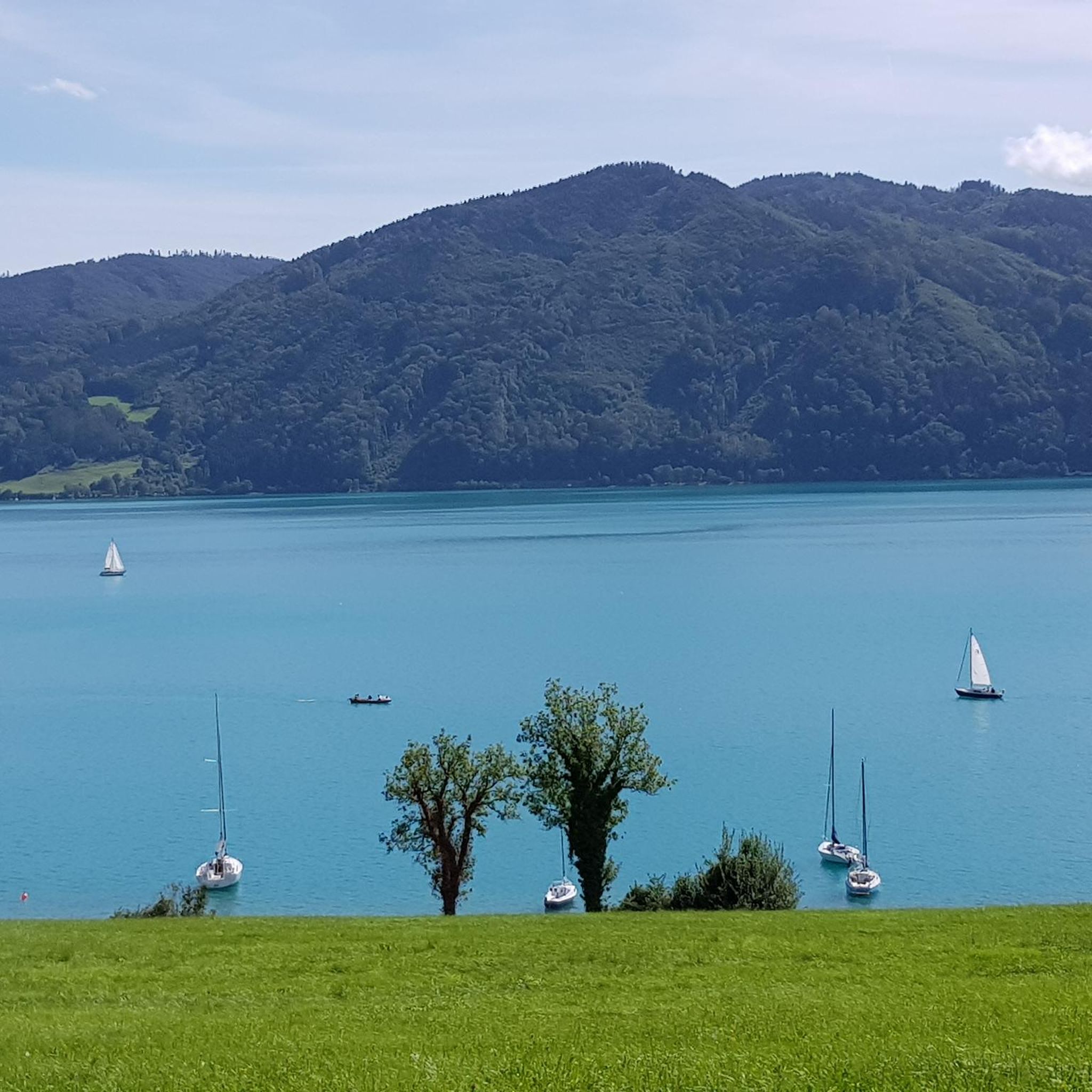
The terrain in Finstertalwald is characterized by dense woodlands and varied elevation changes. You'll find routes traversing classic forest paths, leading to scenic viewpoints, and often featuring the prominent Salza Reservoir. The region offers a mix of easy, moderate, and difficult trails.
Are there easy hiking trails suitable for beginners in Finstertalwald?
Yes, Finstertalwald has over 200 easy hiking routes. An excellent option for a gentle walk is the Inflow to Salzastausee – Salzastausee loop from Stausee Paß Stein, which is 2.2 miles (3.5 km) long and offers pleasant views of the reservoir.
Can I find challenging routes for experienced hikers in Finstertalwald?
Absolutely. For those seeking a more demanding experience, Finstertalwald features over 80 difficult trails. A notable challenging route is the Salza Waterfall – Salza Reservoir and Dam loop from Sankt Martin am Grimming, a 5.4 miles (8.7 km) path that includes significant elevation changes and features the impressive Salza Waterfall.
What natural attractions or landmarks can I see along the trails in Finstertalwald?
Finstertalwald's trails lead to several beautiful natural attractions and points of interest. You can explore the serene Salza Reservoir, witness the cascading Salza Waterfall, or enjoy panoramic views from the Hochmühleck Summit. There's also the historical Frauenbild Shrine at Pass-Stein.
Are there circular hiking routes in Finstertalwald?
Yes, many of the trails in Finstertalwald are designed as circular loops, allowing you to start and end at the same point. Examples include the Inflow to Salzastausee – Kragl Hut loop from Stausee Paß Stein and the Kragl Hut – Steinitzen Alm loop from Stausee Paß Stein.
Is Finstertalwald suitable for family hikes?
Finstertalwald offers various trails suitable for families, particularly the easier routes that feature gentle gradients and scenic views. Many paths are well-maintained and provide a pleasant outdoor experience for all ages, often with the reward of reservoir views or forest exploration.
Are dogs allowed on the hiking trails in Finstertalwald?
Generally, dogs are welcome on hiking trails in Finstertalwald. However, it's always recommended to keep them on a leash, especially in areas with wildlife or near livestock. Please be mindful of local regulations and other hikers.
What is the best time of year to go hiking in Finstertalwald?
The best time to hike in Finstertalwald is typically from spring to autumn (May to October), when the weather is mild, and the trails are clear of snow. Summer offers lush greenery and warmer temperatures, while autumn provides stunning fall foliage. Winter hiking is possible but may require appropriate gear due to snow and ice conditions.
How can I get to the trailheads in Finstertalwald using public transport?
While specific public transport options to every trailhead can vary, the region around Liezen, Austria, generally has bus connections. It's advisable to check local bus schedules for routes serving areas like Stausee Paß Stein or Sankt Martin am Grimming, which are common starting points for Finstertalwald hikes.
Are there parking options available for hikers in Finstertalwald?
Yes, many popular trailheads in Finstertalwald, especially near the Salza Reservoir and villages like Stausee Paß Stein, offer designated parking areas for hikers. These are usually well-marked, but it's always a good idea to arrive early during peak season to secure a spot.
What do other hikers enjoy the most about hiking in Finstertalwald?
The area is highly rated by the komoot community, with an average score of 4.5 stars from over 4000 reviews. Reviewers often praise the diverse landscape, the tranquility of the dense forests, and the stunning views of the Salza Reservoir and its waterfalls. The variety of trails catering to different ability levels is also frequently highlighted.
Most popular routes in Finstertalwald
Most popular attractions in Finstertalwald

Get inspired with the komoot mobile app


Explore more
Browse the best Hikes in other regions.
