The best mountain hikes in Krunglwald
5.0
(31)
452
hikers
15
hikes
Mountaineering in Krunglwald offers a diverse landscape characterized by prominent summits, alpine lakes, and forested valleys. The region features challenging ascents to peaks like Grimming and Traweng, alongside routes that traverse high-alpine terrain and connect mountain huts. These routes provide opportunities to experience the rugged beauty of the Krunglwald mountains.
Best mountaineering routes in Krunglwald
- The most popular mountaineering route is Grimming Summit loop from Skiflugschanze Kulm, a 5.8 miles (9.3 km) trail that takes 6 hours 49 minutes…
Last updated: July 5, 2026
4.8
(8)
136
hikers
9.27km
06:49
1,320m
1,320m
Hard mountaineering route. Very good fitness required. Sure-footedness, sturdy shoes and alpine experience required.
9
hikers
20.8km
07:27
1,130m
1,130m
Hard mountaineering route. Very good fitness required. Sure-footedness, sturdy shoes and alpine experience required.

Sign up for free
5.0
(3)
71
hikers
8.20km
03:32
430m
430m
Hard mountaineering route. Good fitness required. Sure-footedness, sturdy shoes and alpine experience required.
5.0
(8)
48
hikers
14.5km
04:43
470m
470m
Hard mountaineering route. Good fitness required. Sure-footedness, sturdy shoes and alpine experience required.
17
hikers
Hard mountaineering route. Good fitness required. Sure-footedness, sturdy shoes and alpine experience required.
Get access to more routes and recommendations from other explorers.
Sign up for free
Already have an account?
Our route recommendations are based on thousands of hikes, rides, and runs completed by other people on komoot.
Start today with a free account
Your next adventure awaits.
Login or Signup
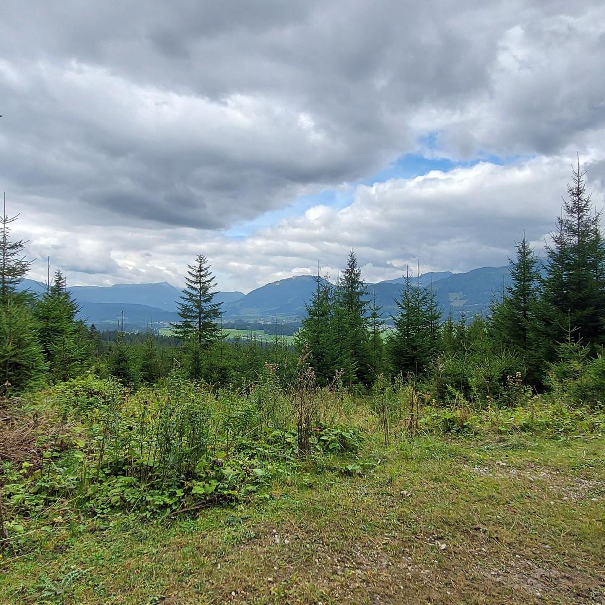
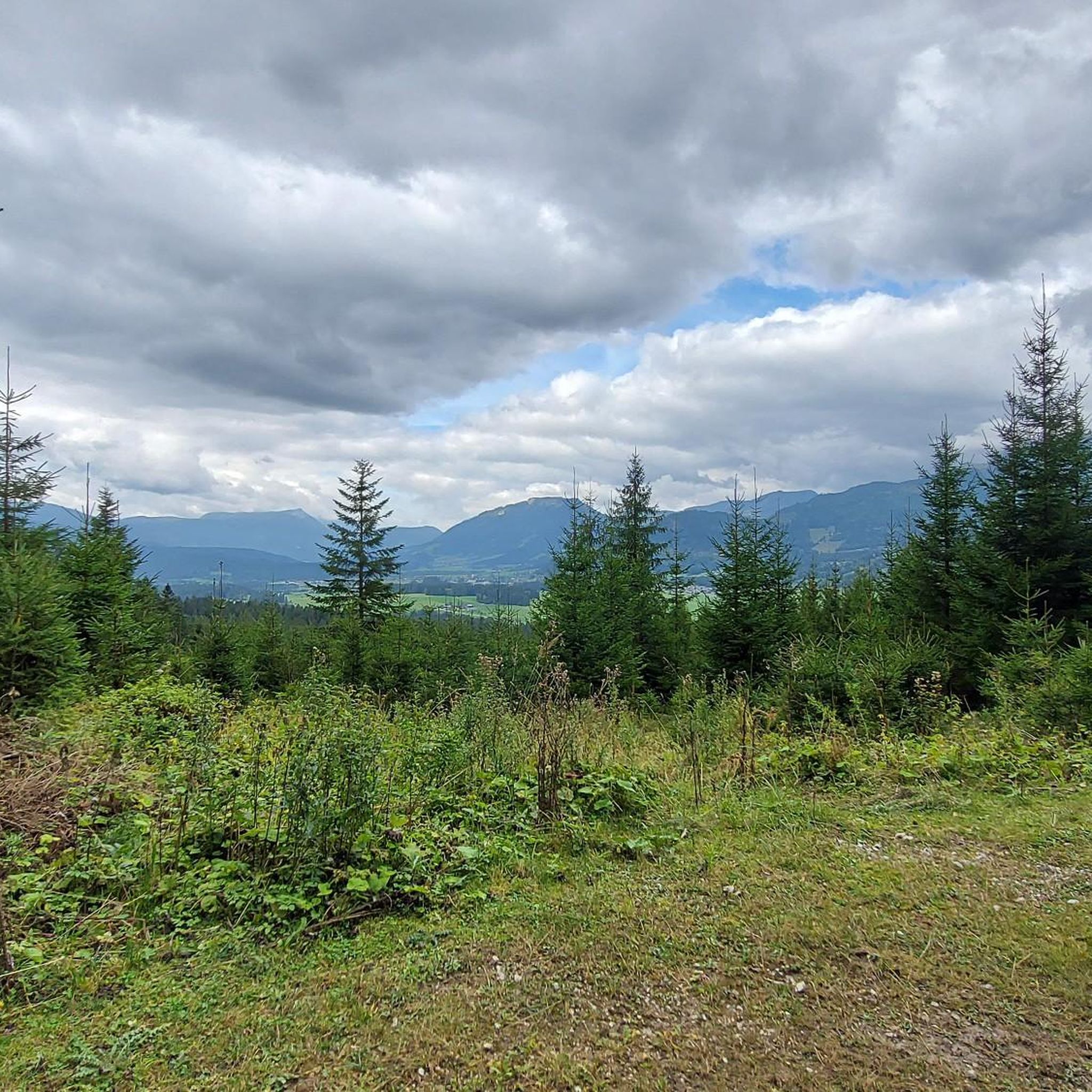
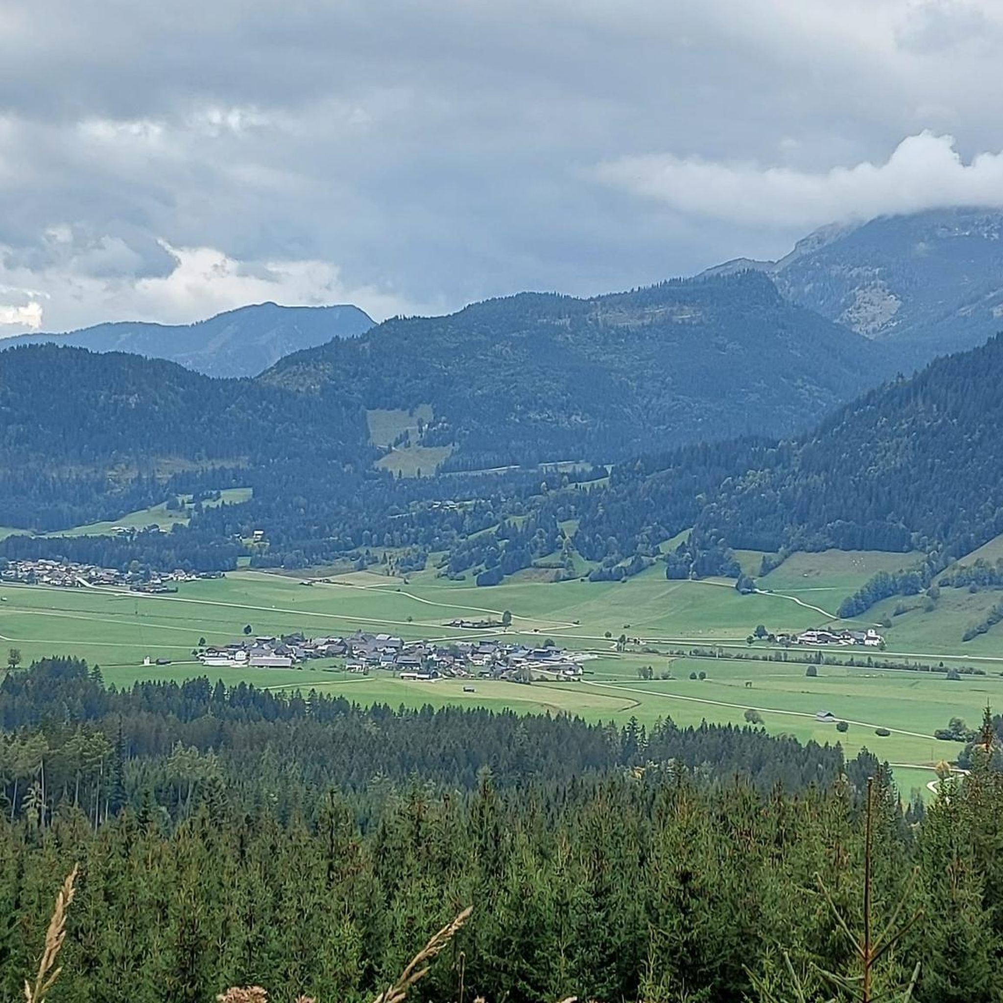
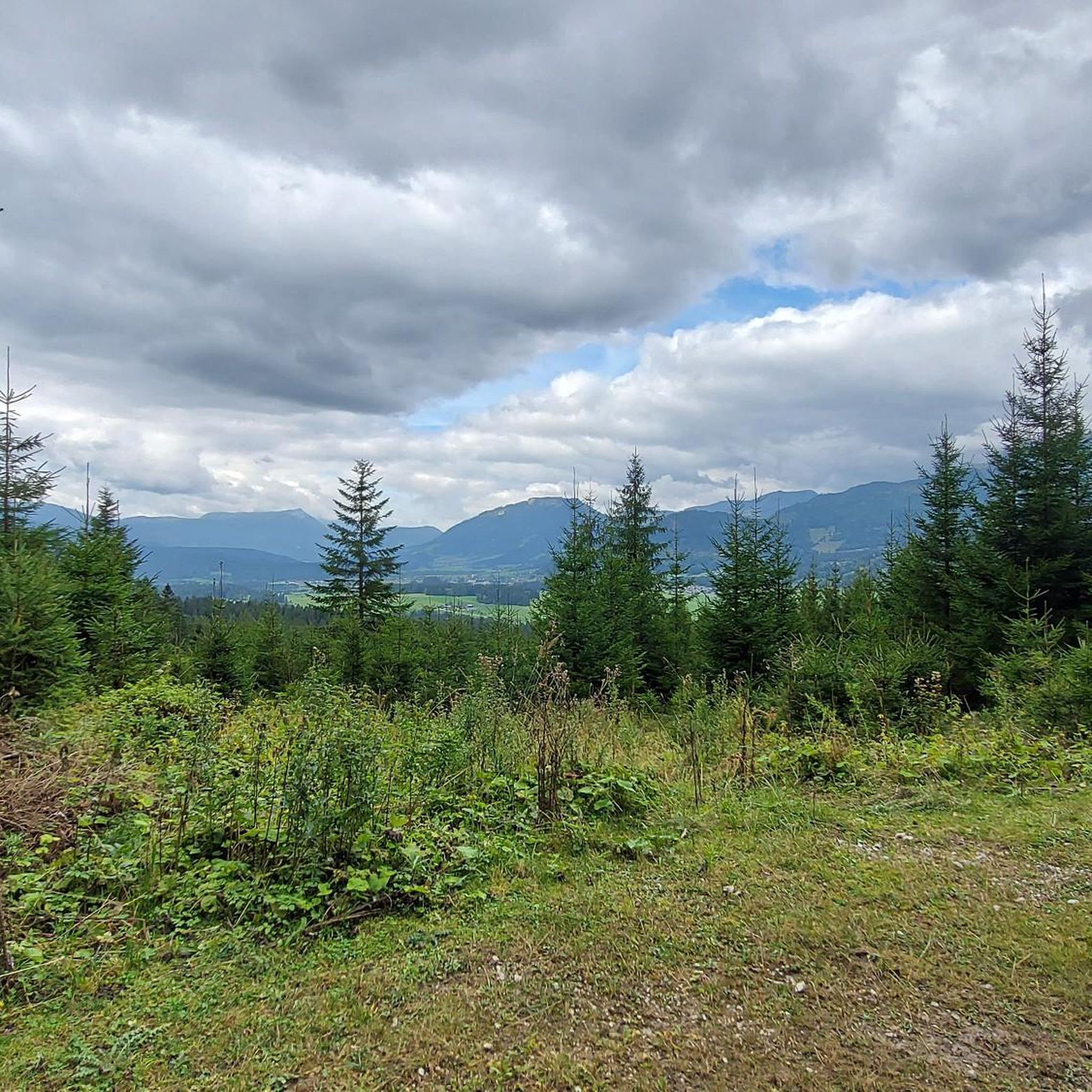
Tips from the Community

Beautiful and easily accessible. There is a bench in the shade under a tree with a beautiful view of the picturesque lake.
0
0
Many options for hiking short, long loops or summits.
0
0


Way to the via ferrata?
0
0


Cycling is prohibited from the parking lot, but as long as you stay on the road to Steirersee and cycle carefully and at a leisurely pace, there will be no problems.
0
0

Beautiful tiny mountain lake, somewhat hidden.
0
0

scenically beautiful endpoint with a view of the Dachstein after a long but beautiful ascent with the MTB
0
0
Frequently Asked Questions
How many mountaineering routes are available in Krunglwald?
Krunglwald offers a selection of 16 mountaineering routes. The majority, 14, are classified as difficult, with two routes considered moderate.
Are there any beginner-friendly mountaineering routes in Krunglwald?
While most routes in Krunglwald are challenging, there are two moderate mountaineering routes available. These might be suitable for those with some experience looking for a less demanding ascent than the difficult summit tours.
What is the best time of year for mountaineering in Krunglwald?
The best time for mountaineering in Krunglwald is typically from late spring to early autumn (June to September) when the weather is more stable and snow has largely melted from higher elevations. Always check local weather forecasts and trail conditions before heading out.
Are there any circular mountaineering routes in Krunglwald?
Yes, many of the mountaineering routes in Krunglwald are circular, allowing you to start and end at the same point. For example, the challenging View of Großsee – Fairy Lake loop from Krallersee offers stunning lake views on a 14.6 km circuit.
What kind of terrain can I expect on Krunglwald's mountaineering routes?
Mountaineering in Krunglwald features diverse terrain, from challenging ascents to prominent summits like Grimming and Traweng, to routes traversing high-alpine landscapes, alpine lakes, and forested valleys. You'll encounter rugged paths and potentially exposed sections.
What do other mountaineers enjoy most about the routes in Krunglwald?
The mountaineering routes in Krunglwald are highly rated by the komoot community, with an average score of 5.0 stars from over 30 reviews. Mountaineers often praise the challenging summit ascents, the stunning high-alpine lake views, and the well-connected mountain huts.
Are there any shorter, yet still challenging, mountaineering options?
Yes, if you're looking for a challenging route that can be completed in a shorter timeframe, consider the Tressenstein Summit (1,196 m) – Grimming Hut loop from Ennstal zwischen Liezen und Niederstuttern. This difficult 5.1 km route typically takes around 2 hours 29 minutes.
What should I consider for winter mountaineering in Krunglwald?
Winter mountaineering in Krunglwald requires specialized equipment and experience due to snow, ice, and potential avalanche risks. Conditions can change rapidly. It's crucial to check avalanche warnings, carry appropriate gear (like crampons, ice axe, and avalanche safety equipment), and consider hiring a local guide.
Are there any routes that connect mountain huts?
Yes, several routes in Krunglwald connect mountain huts, offering opportunities for multi-day tours or a chance to rest and refuel. The Grazer Hut – Steirersee loop from Tauplitz is a prime example, showcasing varied high-mountain scenery while linking a mountain hut with an alpine lake.
What kind of gear is recommended for mountaineering in Krunglwald?
For mountaineering in Krunglwald, especially on difficult routes, essential gear includes sturdy hiking boots, weather-appropriate clothing (layers are key), a backpack with water and snacks, a first-aid kit, navigation tools (map, compass, or GPS), and sun protection. Depending on the route and season, you might also need a helmet, via ferrata set, or trekking poles.
Are there any routes that offer views of prominent summits?
Many routes in Krunglwald provide excellent views of the region's prominent summits. For a demanding ascent to a significant peak, the Grimming Summit loop from Skiflugschanze Kulm offers a direct experience with one of the area's most notable mountains.
Can I find routes that pass by summit crosses?
Yes, some routes lead to or pass by summit crosses, which are common landmarks on alpine peaks. The Traweng Summit Cross – Grazer Hut loop from Krallersee is a great option, taking you through alpine meadows and past a summit cross.
Most popular routes in Krunglwald

Get inspired with the komoot mobile app


Explore more
Browse the best Mountain Hikes & Routes in other regions.
