The best walks and hikes in Krunglwald
4.5
(3763)
21,382
hikers
425
hikes
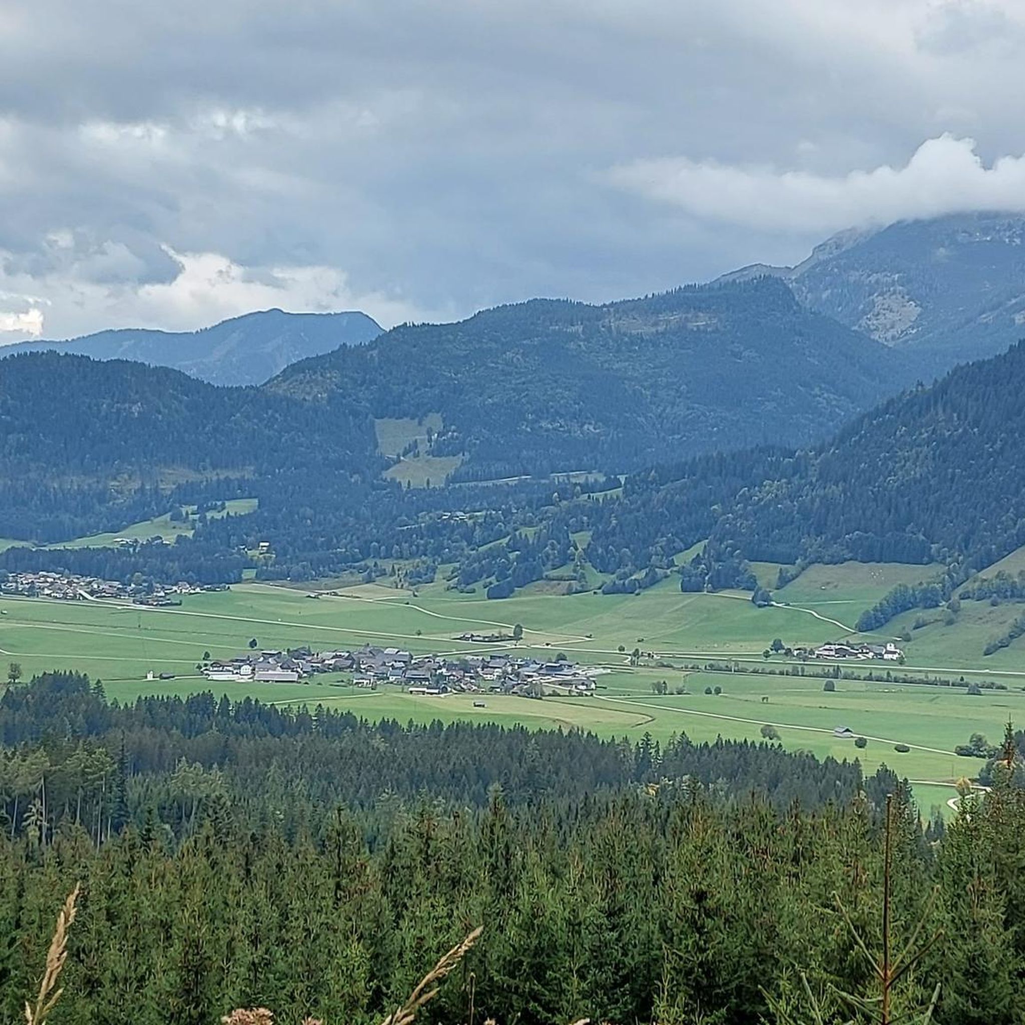
Hiking in Krunglwald offers a diverse range of trails through a beautiful forest landscape in Liezen. The region is characterized by its varied terrain, including forest paths, mountain ascents, and routes around natural water bodies like the Salzastausee. Hikers can explore areas featuring prominent landmarks such as the Skiflugschanze Kulm and the Kragl Hut, providing both scenic views and points of interest.
Best hiking trails in Krunglwald
- The most popular hiking route is Grimming Summit loop from Skiflugschanze Kulm,…
Last updated: September 29, 2026
4.8
(33)
304
hikers
9.27km
06:49
1,320m
1,320m
Hard hike. Very good fitness required. Sure-footedness, sturdy shoes and alpine experience required.
5.0
(5)
27
hikers
Moderate hike. Good fitness required. Easily-accessible paths. Suitable for all skill levels.

4.6
(54)
195
hikers
3.59km
01:11
150m
150m
Moderate hike. Great for any fitness level. Mostly accessible paths. Sure-footedness required.
4.6
(14)
103
hikers
6.59km
01:47
80m
80m
Easy hike. Great for any fitness level. Easily-accessible paths. Suitable for all skill levels.
4.3
(12)
40
hikers
13.5km
03:51
320m
320m
Moderate hike. Good fitness required. Easily-accessible paths. Suitable for all skill levels.
Get access to more routes and recommendations from other explorers.
Already have an account?
Our route recommendations are based on thousands of hikes, rides, and runs completed by other people on komoot.
Start today with a free account
Your next adventure awaits.
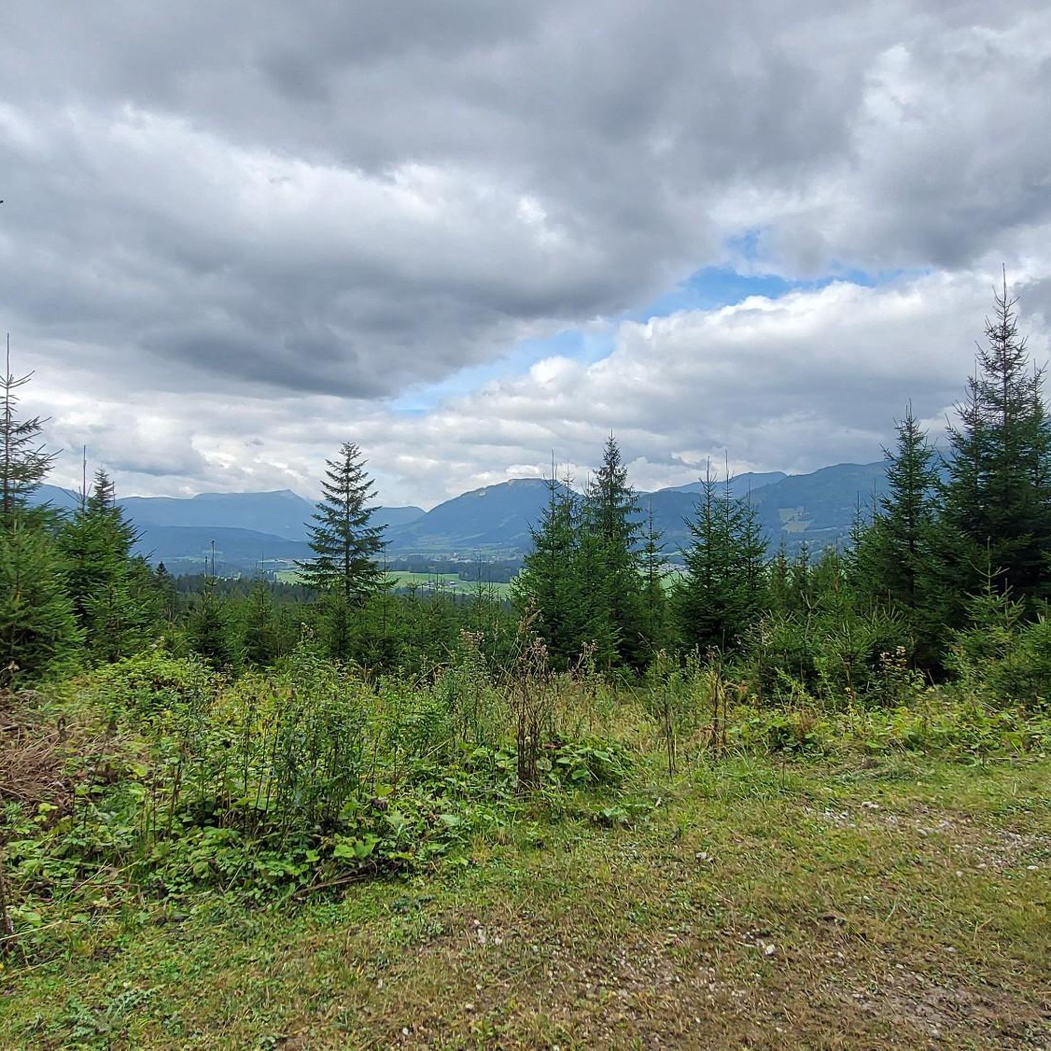
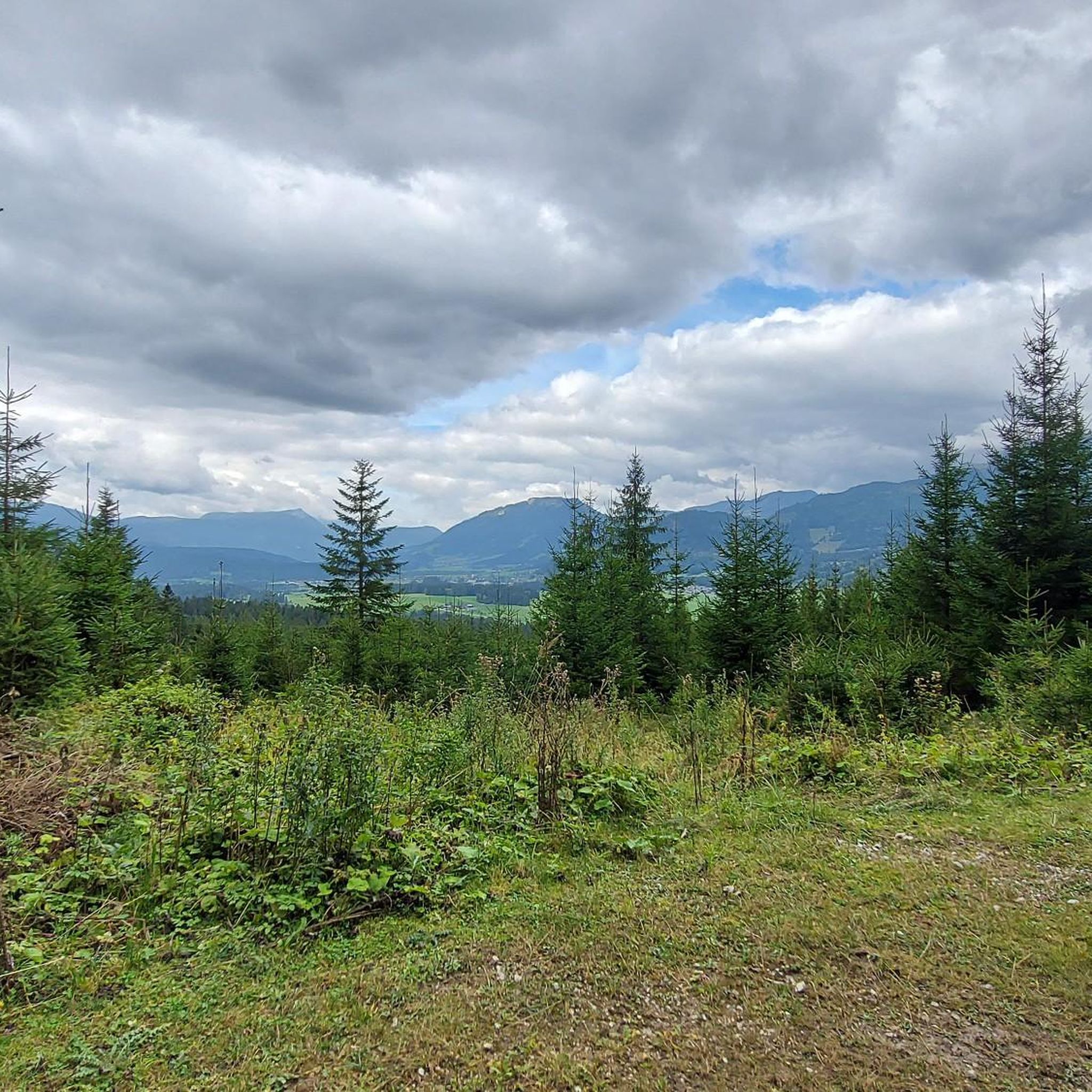
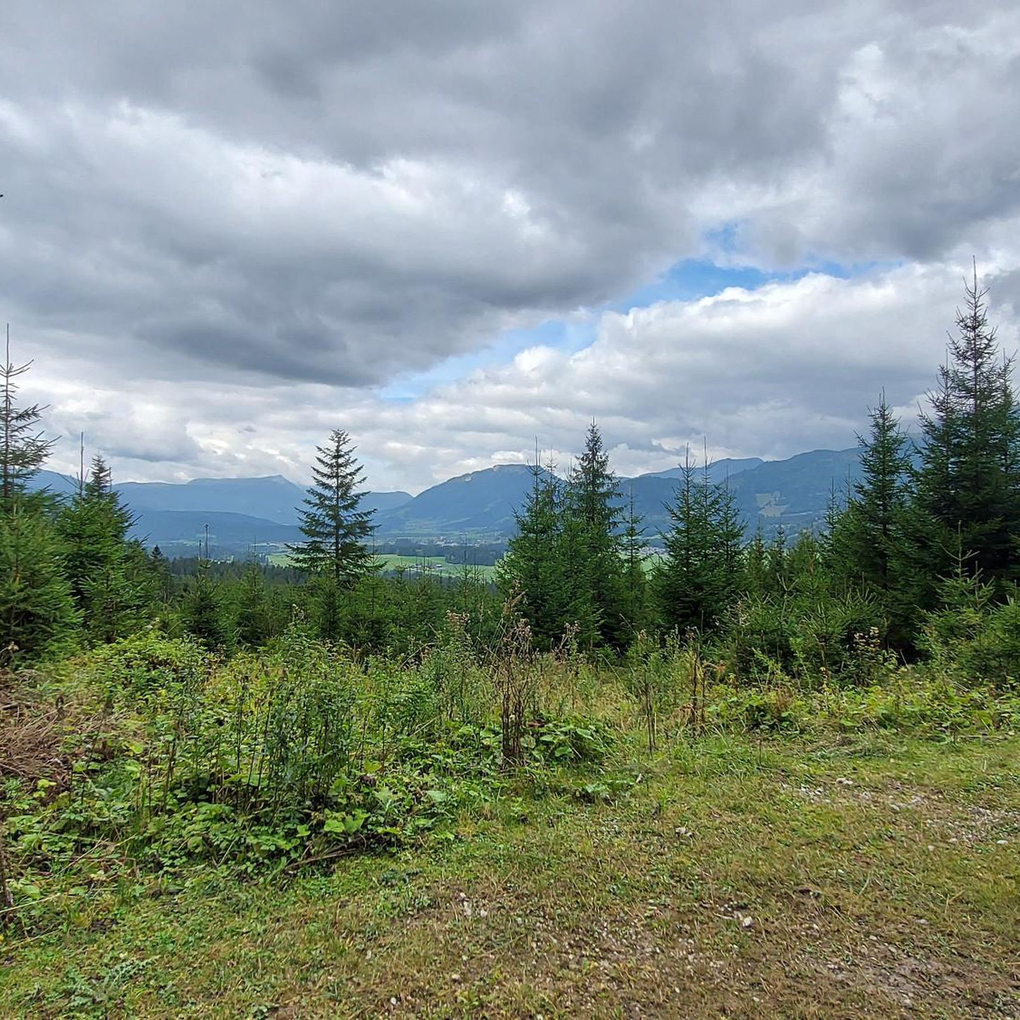
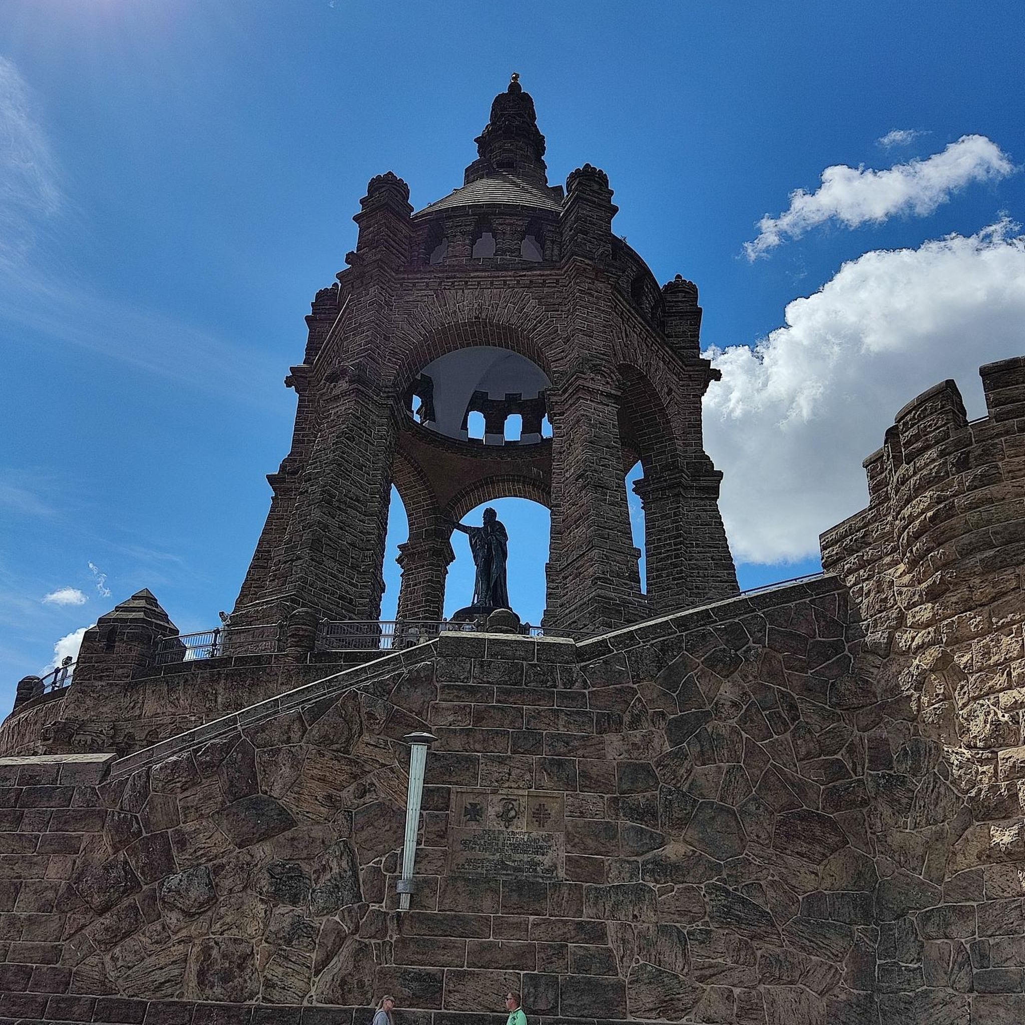
Tips from the Community

Scenically beautiful, currently (as of August 2026) blocked from the south side due to mudslides!
0
0

Whoever reaches the highest point of the Waldstiegs (station 10) can sign the summit book as a reward
0
0
The Waldstieg at Salzastausee is a beautiful hiking trail that leads from the lake up to the summit. 10 stations provide information about history and culture along the way. Benches also invite you to linger. Sturdy footwear should definitely be worn.
0
0

Exciting sculptures on a sunny, walker-friendly path
0
0

Open Thursday - Tuesday 11 a.m. - 6 p.m. Cash payments only
0
0

Absolutely not for people who have knee problems.
0
0

The food and the inn are simply amazing, very tasty, beautifully decorated and hearty 👍
1
0

Frequently Asked Questions
How many hiking trails are available in Krunglwald?
Krunglwald offers a wide selection of hiking opportunities, with over 430 trails to explore. These routes cater to various skill levels, including easy, moderate, and difficult options.
What types of landscapes can I expect to see while hiking in Krunglwald?
Hikers in Krunglwald will experience diverse landscapes, primarily characterized by dense forests, mountain views, and serene paths along natural water bodies like the Salzastausee. The region features varied terrain, from gentle forest paths to challenging mountain ascents.
Are there any easy hikes suitable for families or beginners in Krunglwald?
Yes, Krunglwald has nearly 200 easy hiking routes. A great option is the Inflow to Salzastausee – Salzastausee loop from Stausee Paß Stein, a 2.2-mile (3.5 km) trail that takes about 1 hour 10 minutes, leading through forests and along the reservoir.
What are some notable landmarks or points of interest along the trails in Krunglwald?
You can explore prominent landmarks such as the Skiflugschanze Kulm, a famous ski flying hill, and the Kragl Hut, which offers scenic views. The Grimming Summit also provides dramatic vistas for those tackling more challenging routes.
What is the average duration and distance of hikes in Krunglwald?
Hikes in Krunglwald vary significantly in duration and distance. For example, an easy route like the Inflow to Salzastausee – Salzastausee loop is about 2.2 miles (3.5 km) and takes just over an hour. More challenging trails, such as the Grimming Summit loop, can be 5.8 miles (9.3 km) and take nearly 7 hours due to significant elevation gain.
Are there any circular hiking routes in Krunglwald?
Yes, many trails in Krunglwald are designed as loops, allowing you to start and end at the same point. Examples include the Wolfgang Loitzl Ski Jump – Kragl Hut loop and the Grimming Summit loop.
What is the difficulty level of hiking trails in Krunglwald?
Krunglwald offers a range of difficulties. You'll find 198 easy routes, 177 moderate routes, and 57 difficult trails. This variety ensures options for all experience levels, from leisurely strolls to strenuous mountain climbs.
What do other hikers say about their experience in Krunglwald?
The hiking trails in Krunglwald are highly regarded by the komoot community, holding an average rating of 4.5 stars from over 3,000 reviews. Hikers often praise the diverse terrain, from dense forests to mountain views, and the well-maintained paths around natural features like the Salzastausee.
Can I find trails that lead to mountain huts or shelters in Krunglwald?
Yes, some routes in Krunglwald lead to or pass by mountain huts. For instance, the Wolfgang Loitzl Ski Jump – Kragl Hut loop includes the Kragl Hut, offering a potential resting point or destination.
Are there any hikes that feature water bodies like lakes or reservoirs?
Absolutely. Krunglwald features routes that traverse along or around the Salzastausee reservoir. The Inflow to Salzastausee – Salzastausee loop is a prime example, offering scenic views of the water.
What is the longest moderate hike available in Krunglwald?
One of the longer moderate options is the Kragl Hut – Steinitzen Alm loop from Stausee Paß Stein. This route spans approximately 8.4 miles (13.5 km) and typically takes around 3 hours 50 minutes to complete.
Most popular routes in Krunglwald

Get inspired with the komoot mobile app


Explore more
Browse the best Hikes in other regions.
