The best mountain hikes in Wörschachwald
4.9
(33)
439
hikers
17
hikes
Mountaineering in Wörschachwald offers routes through a landscape characterized by significant mountain peaks like Gindlhorn and Tressenstein, often featuring alpine lakes and dense forests. The region provides varied terrain, from challenging ascents to more moderate paths, making it suitable for experienced mountaineers. The trails frequently lead to scenic viewpoints overlooking the Ennstal valley.
Best mountaineering routes in Wörschachwald
- The most popular mountaineering route is Schröfl Hut – Gindlhorn 1259 m loop from Ennstal zwischen Liezen und Niederstuttern, a 4.4 miles (7.1 km) trail that takes 2 hours 47 minutes to complete. This moderate route features a steady climb to the Gindlhorn summit.
- Another top favourite among local mountaineers is Parish Church of St. George in Pürgg – Krenn Grocery loop from Ennstal zwischen Liezen und Niederstuttern, a difficult 1.6 miles (2.5 km) path. This shorter, challenging route offers steep sections and panoramic views of the surrounding area.
- Local mountaineers also love the Parish Church of St. George in Pürgg – Gindlhorn 1259 m loop from Pürgg, a 6.9 miles (11.1 km) trail leading through varied mountain terrain, often completed in about 4 hours 41 minutes.
- Mountaineering in Wörschachwald is defined by prominent mountain peaks, alpine lakes, and extensive forest sections. The network offers options for both moderate and challenging ability levels.
- The routes in Wörschachwald are highly rated by the komoot community with an average score of 4.9 stars from over 50 reviews. More than 600 mountaineers have used komoot to explore Wörschachwald's varied terrain.
Last updated: July 1, 2026
9
hikers
Hard mountaineering route. Great for any fitness level. Sure-footedness, sturdy shoes and alpine experience required.
5.0
(1)
7
hikers
10.9km
04:38
730m
730m
Hard mountaineering route. Good fitness required. Sure-footedness, sturdy shoes and alpine experience required.

Sign up for free
5.0
(5)
35
hikers
Moderate mountaineering route. Good fitness required. Mostly accessible paths. Sure-footedness required.
9
hikers
20.8km
07:27
1,130m
1,130m
Hard mountaineering route. Very good fitness required. Sure-footedness, sturdy shoes and alpine experience required.
4.8
(8)
136
hikers
9.27km
06:49
1,320m
1,320m
Hard mountaineering route. Very good fitness required. Sure-footedness, sturdy shoes and alpine experience required.
Get access to more routes and recommendations from other explorers.
Sign up for free
Already have an account?
Our route recommendations are based on thousands of hikes, rides, and runs completed by other people on komoot.
Start today with a free account
Your next adventure awaits.
Login or Signup
Tips from the Community

You can cycle almost all the way up from Pürgg and then continue to Spechtensee, all the way to Liezen
0
0

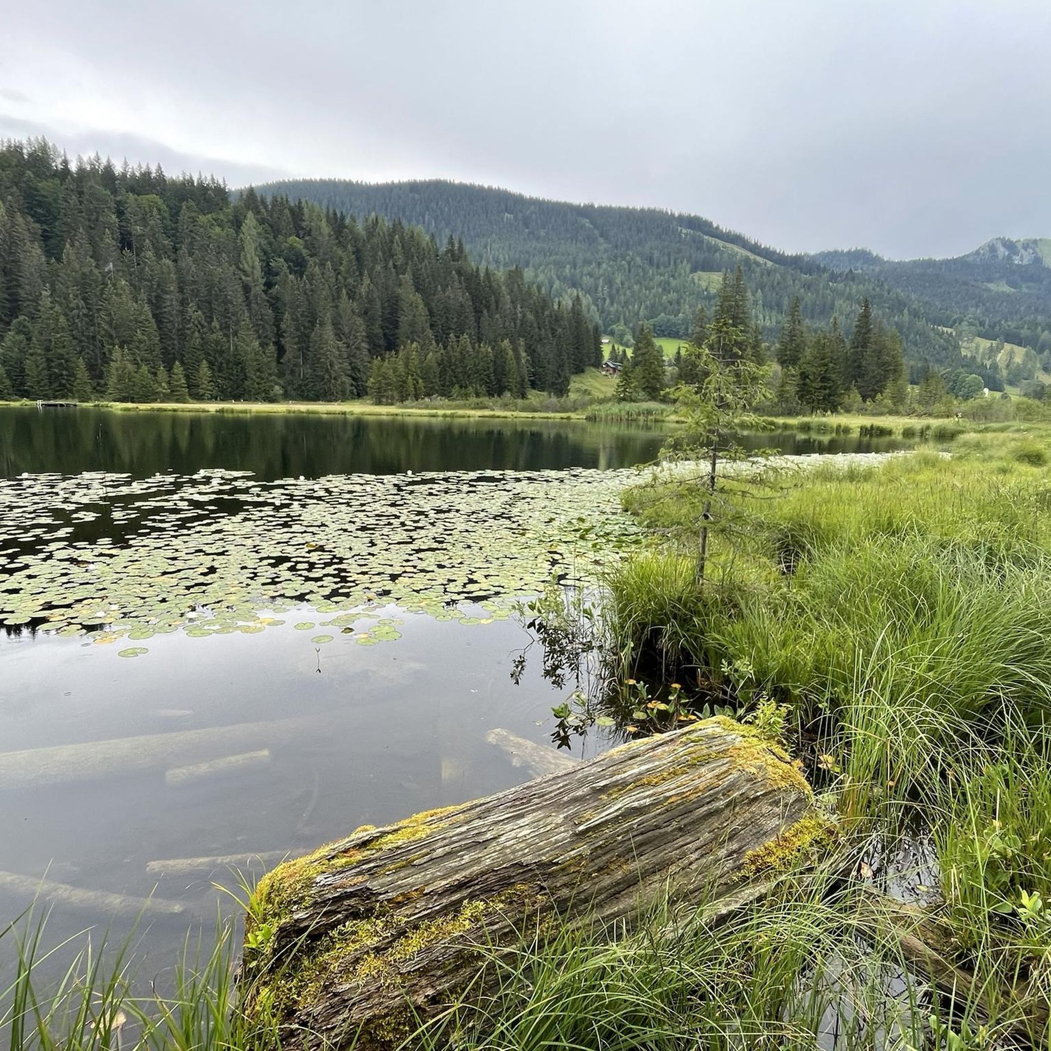
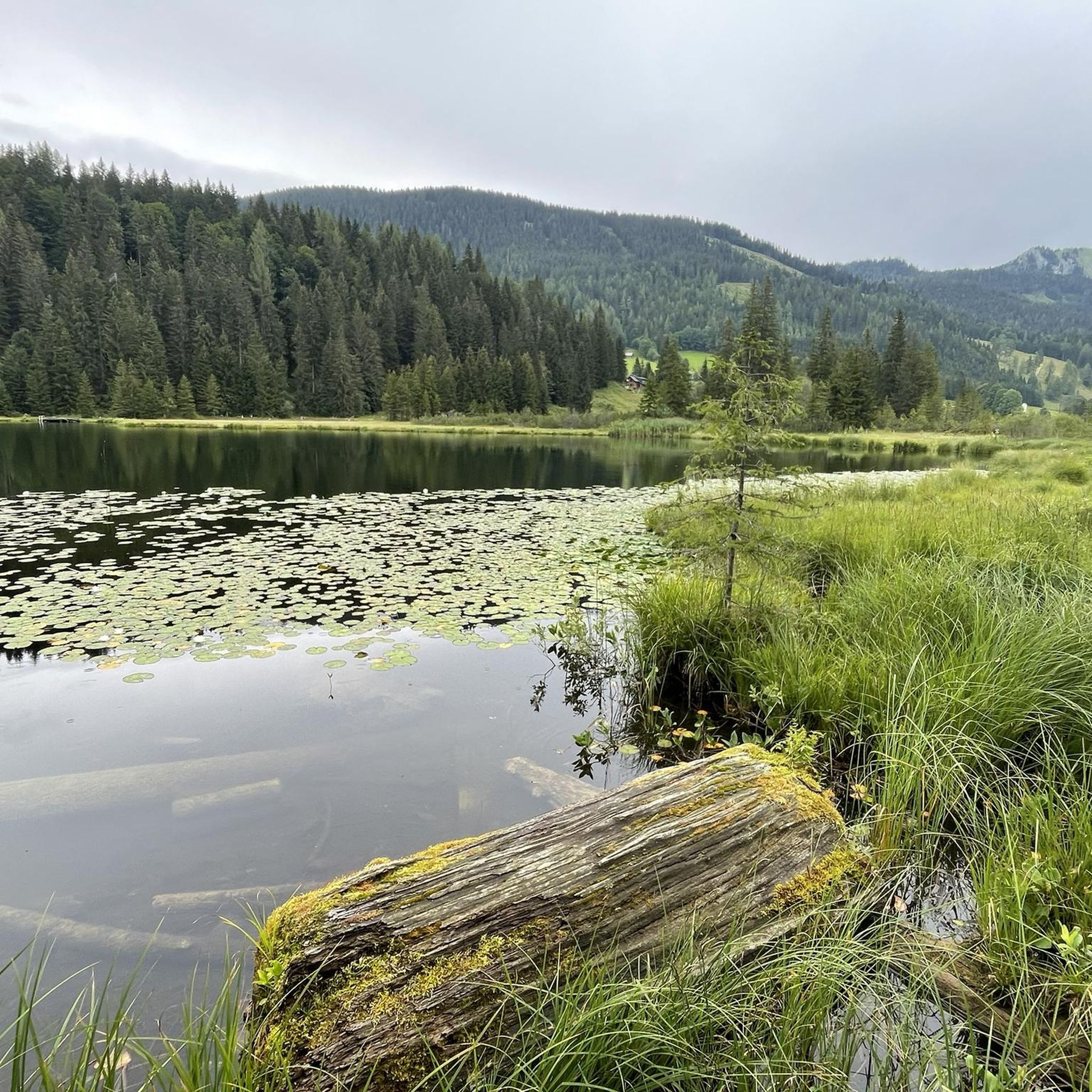
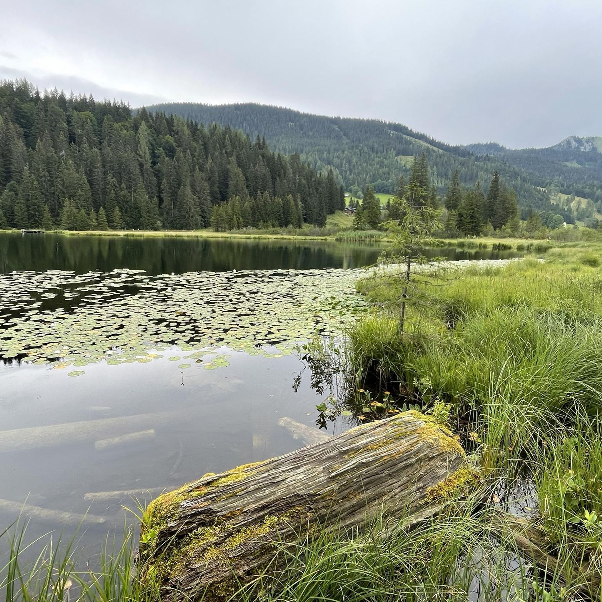
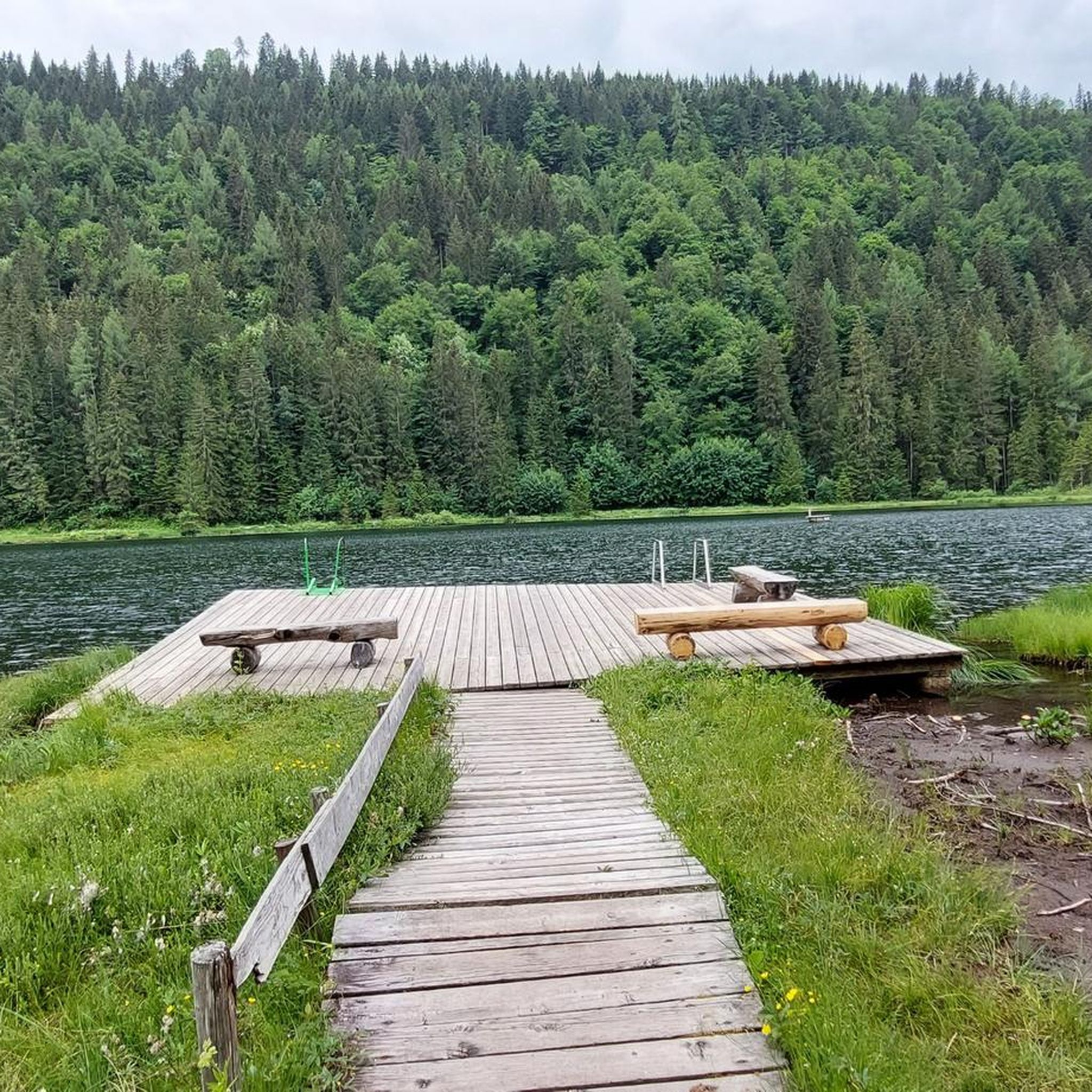
Beautiful and easily accessible. There is a bench in the shade under a tree with a beautiful view of the picturesque lake.
0
0

Trautenfels Castle is a castle in the municipality of Stainach-Pürgg in the Liezen district of Styria. It is situated on a rocky promontory at the foot of the Grimming mountain, at an elevation of 673 meters above sea level, overlooking the Enns River. The castle was first documented in 1260/62 as belonging to the Archbishopric of Salzburg. It was located at the intersection of the salt road and the route through the Enns Valley and served as a dam. (Wikipedia)
0
0
"St. Georg Pürgg" refers to the parish church of St. George in the village of Pürgg. The Romanesque three-aisled basilica was consecrated as early as 1130, is a listed historical monument, and is famous for its western portal with wrought-iron spirals, which are said to ward off evil spirits. The church, along with the nearby St. John's Chapel, is an important cultural attraction that draws many visitors each year.
0
0
Beautiful tiny mountain lake, somewhat hidden.
0
0

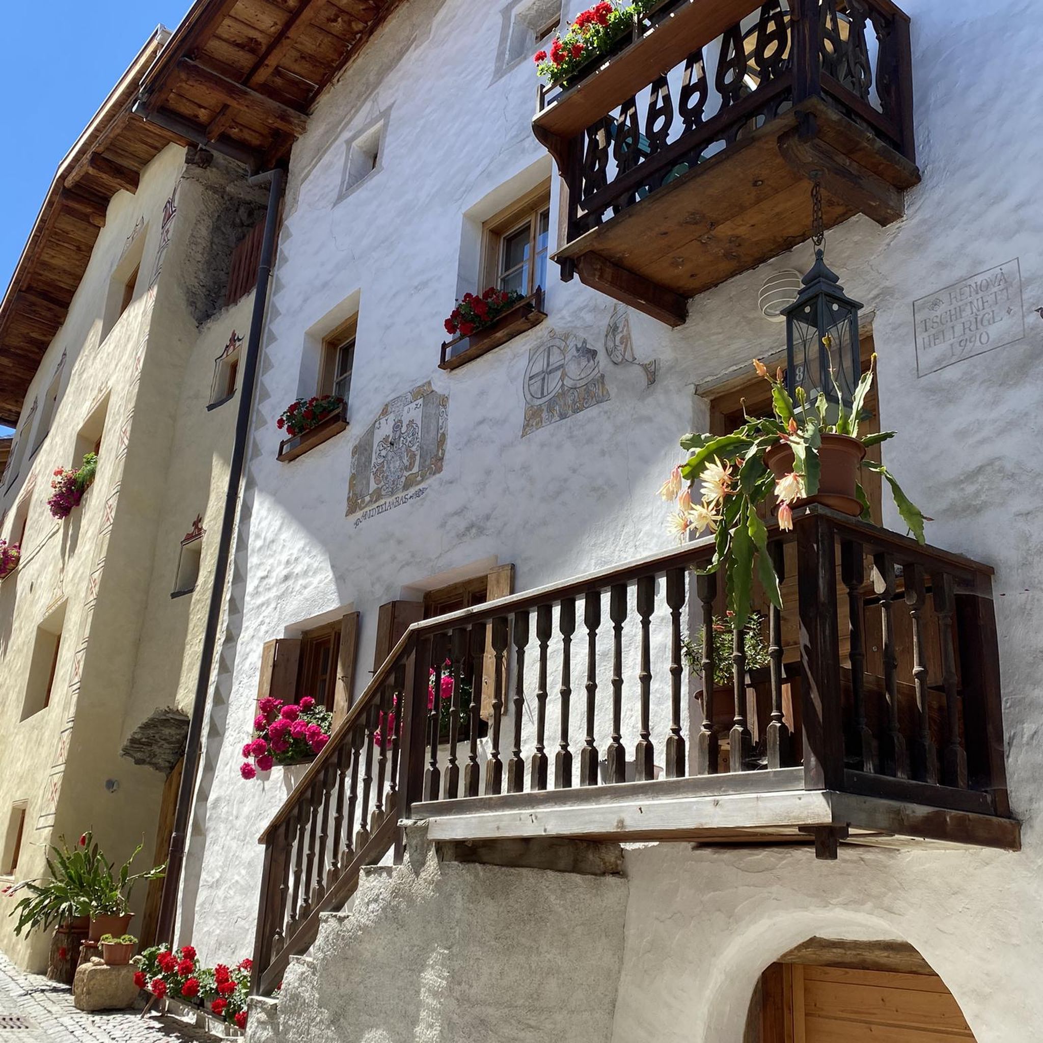
Romantic place, also called the Nativity scene of Styria
0
0

Beautiful in winter as well as in summer 🙂 And really easy to reach by public transport: https://www.bahn-zum-berg.at/totes-gebirge/gindlhorn-winterwanderung/
0
0

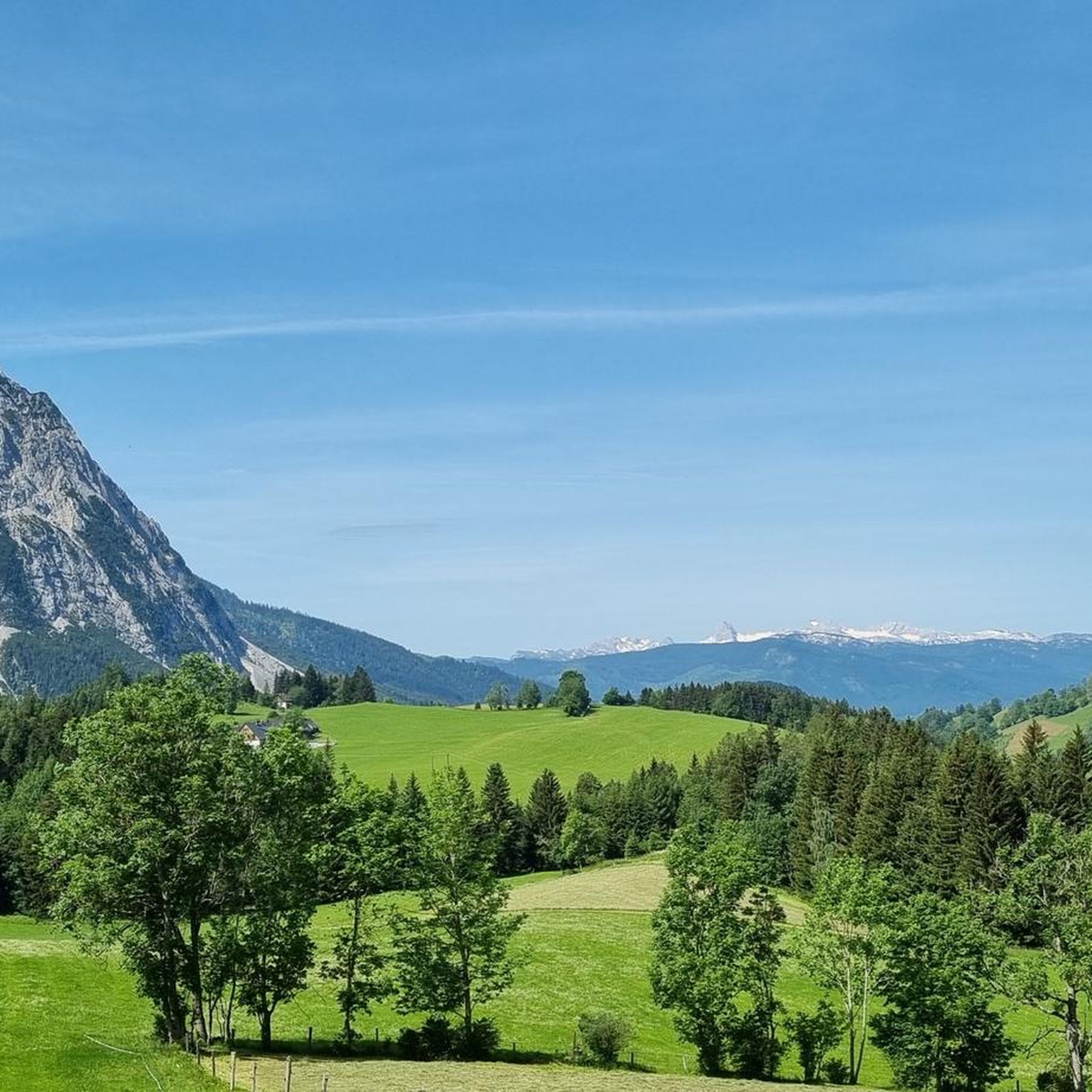
Be sure to fill up all your water bottles here! The path up to the Grimming is in the sun and there is no water above. (With luck, there will be a few drops at the Grimmingbrünndl.)
1
0
Frequently Asked Questions
How many mountaineering routes are available in Wörschachwald?
Wörschachwald offers a diverse network of nearly 20 mountaineering routes. These range from moderate paths to more challenging ascents, catering to various skill levels.
Are there any family-friendly mountaineering trails in Wörschachwald?
While many routes in Wörschachwald are rated as difficult, some moderate options exist. For a less strenuous experience that still offers beautiful scenery, consider the Grimming Hut – Tressenstein Summit loop from Schloss Trautenfels, which is a moderate 5.5-mile (8.9 km) trail.
What is the best time of year for mountaineering in Wörschachwald?
The most favorable time for mountaineering in Wörschachwald is typically from late spring through early autumn (May to October). During these months, the weather is generally more stable, and trails are clear of snow, offering the best conditions for exploring the region's peaks and forests.
Are there any circular mountaineering routes in Wörschachwald?
Yes, Wörschachwald features several circular routes. A popular choice is the Schröfl Hut – Gindlhorn 1259 m loop from Ennstal zwischen Liezen und Niederstuttern, a moderate 4.4-mile (7.1 km) trail that takes about 2 hours 47 minutes to complete.
What kind of challenging mountaineering routes are available for experienced hikers?
For experienced mountaineers seeking a challenge, Wörschachwald has numerous difficult routes. The Grazer Hut – Steirersee loop from Tauplitz is a demanding 12.8-mile (20.7 km) trail with significant elevation gain, offering a true test of endurance and skill.
What are some scenic viewpoints or natural attractions I can find along the mountaineering routes?
Mountaineering routes in Wörschachwald often lead to stunning natural attractions. You can discover the impressive Wörschach Gorge, reach the Gindlhorn summit cross for panoramic views, or enjoy the serene beauty of Spechtensee. The Kleines Hörndl also offers excellent vistas.
What do other mountaineers enjoy most about Wörschachwald?
The mountaineering routes in Wörschachwald are highly rated by the komoot community, with an average score of 4.9 stars from over 50 reviews. Users frequently praise the varied terrain, from challenging ascents to scenic viewpoints, and the overall natural beauty of the region, including its prominent peaks and alpine lakes.
Are there any beginner-friendly mountaineering routes in Wörschachwald?
While Wörschachwald is known for its more challenging terrain, there are a few moderate routes that could be suitable for beginners with some prior hiking experience. The Schröfl Hut – Gindlhorn 1259 m loop is a good starting point, offering a steady climb without extreme technical difficulties.
What are the typical durations for mountaineering routes in Wörschachwald?
Route durations vary significantly based on difficulty and length. Moderate trails, like the Schröfl Hut – Gindlhorn 1259 m loop, can take around 2 hours 47 minutes. More difficult and longer routes, such as the Parish Church of St. George in Pürgg – Gindlhorn 1259 m loop, may require about 4 hours 41 minutes or more.
Are there any specific permits required for mountaineering in Wörschachwald?
Generally, no specific permits are required for mountaineering on the established trails in Wörschachwald. However, it's always advisable to check local regulations, especially if you plan to venture off marked paths or into protected areas.
What are the winter mountaineering conditions like in Wörschachwald?
Winter mountaineering in Wörschachwald can be challenging due to snow, ice, and colder temperatures. Many trails may be impassable or require specialized equipment like snowshoes or crampons. It's crucial to check current weather and avalanche conditions before attempting any winter ascents and to have appropriate experience and gear.
Where can I find parking and trailhead access for mountaineering routes?
Parking and trailhead access points are typically located near the starting points of individual routes. For specific details on where to park and begin your hike, it's best to consult the individual komoot tour pages, such as the one for the Parish Church of St. George in Pürgg – Krenn Grocery loop, which often provide precise starting locations.
Most popular routes in Wörschachwald
Most popular attractions in Wörschachwald

Get inspired with the komoot mobile app


Explore more
Browse the best Mountain Hikes & Routes in other regions.
