The best mountain hikes in Wald Gamsfeld
4.8
(128)
1,511
hikers
47
hikes
Mountaineering routes Wald Gamsfeld are centered around the Gamsfeld mountain, which at 2,027 meters (6,650 feet) is the highest peak in the Salzkammergut Mountains. This sub-range of the Northern Limestone Alps features dominant alpine terrain, rugged mountain vistas, and rocky paths. The landscape transitions from lower-elevation forests to open, rugged alpine environments, showcasing geological formations like Dachsteinkalk rock. The region offers diverse forest trails and expansive panoramic views, particularly from the Gamsfeld summit.
Best mountaineering routes in Wald Gamsfeld
- The…
Last updated: July 5, 2026
5.0
(3)
54
hikers
12.9km
06:18
1,170m
1,170m
Hard mountaineering route. Very good fitness required. Mostly accessible paths. Sure-footedness required.
4.0
(2)
44
hikers
14.9km
06:41
1,170m
1,170m
Hard mountaineering route. Very good fitness required. Mostly accessible paths. Sure-footedness required.

Sign up for free
18
hikers
9.89km
05:32
1,110m
1,110m
Hard mountaineering route. Very good fitness required. Mostly accessible paths. Sure-footedness required.
4.0
(1)
13
hikers
Moderate mountaineering route. Good fitness required. Easily-accessible paths. Suitable for all skill levels.
5.0
(1)
11
hikers
16.6km
07:51
1,180m
1,180m
Hard mountaineering route. Very good fitness required. Sure-footedness, sturdy shoes and alpine experience required.
Get access to more routes and recommendations from other explorers.
Sign up for free
Already have an account?
Our route recommendations are based on thousands of hikes, rides, and runs completed by other people on komoot.
Start today with a free account
Your next adventure awaits.
Login or Signup
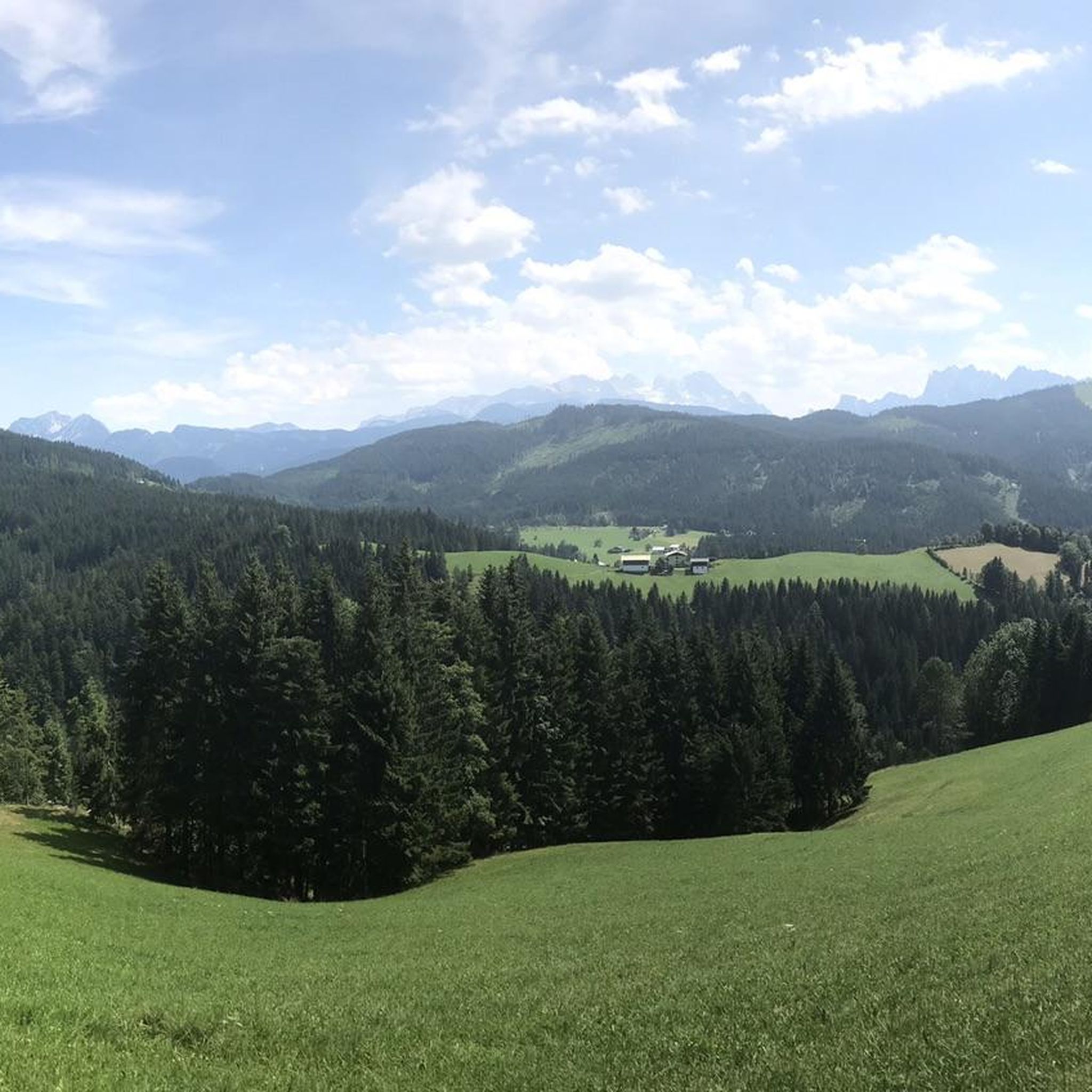
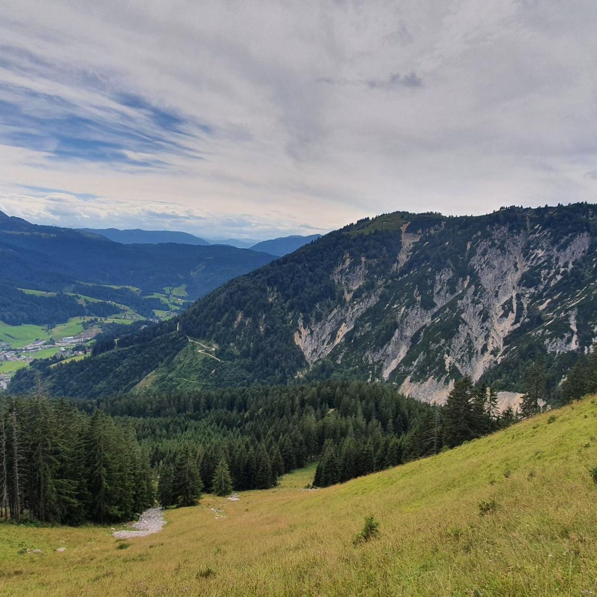
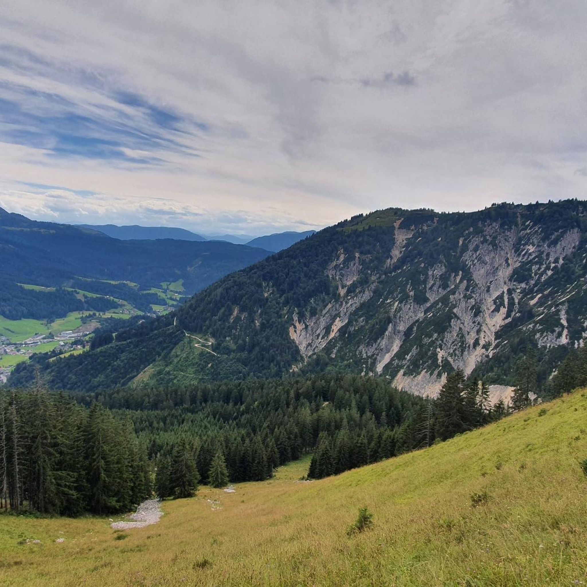
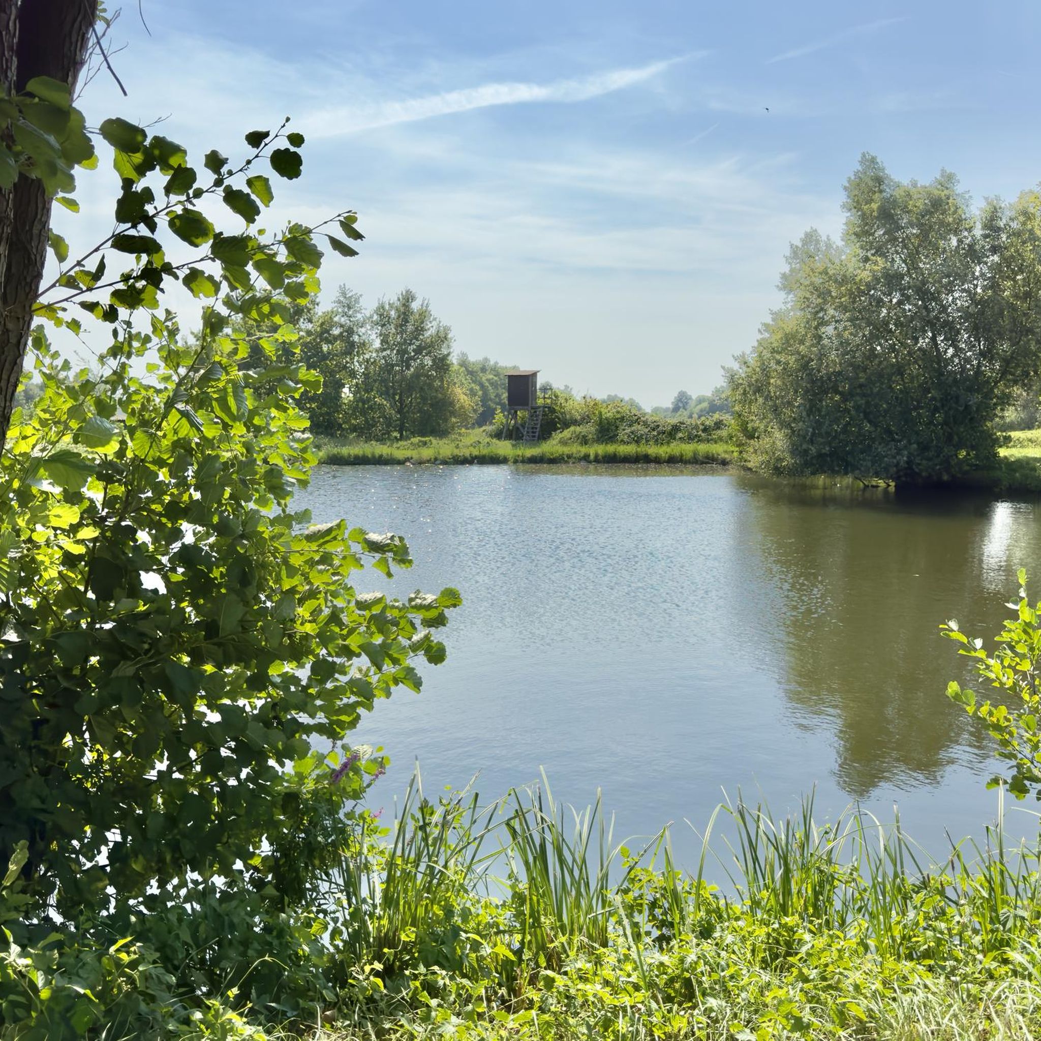
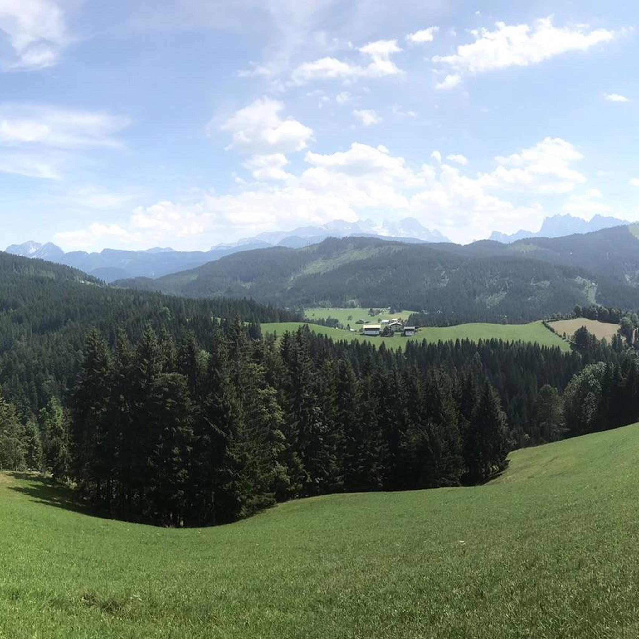
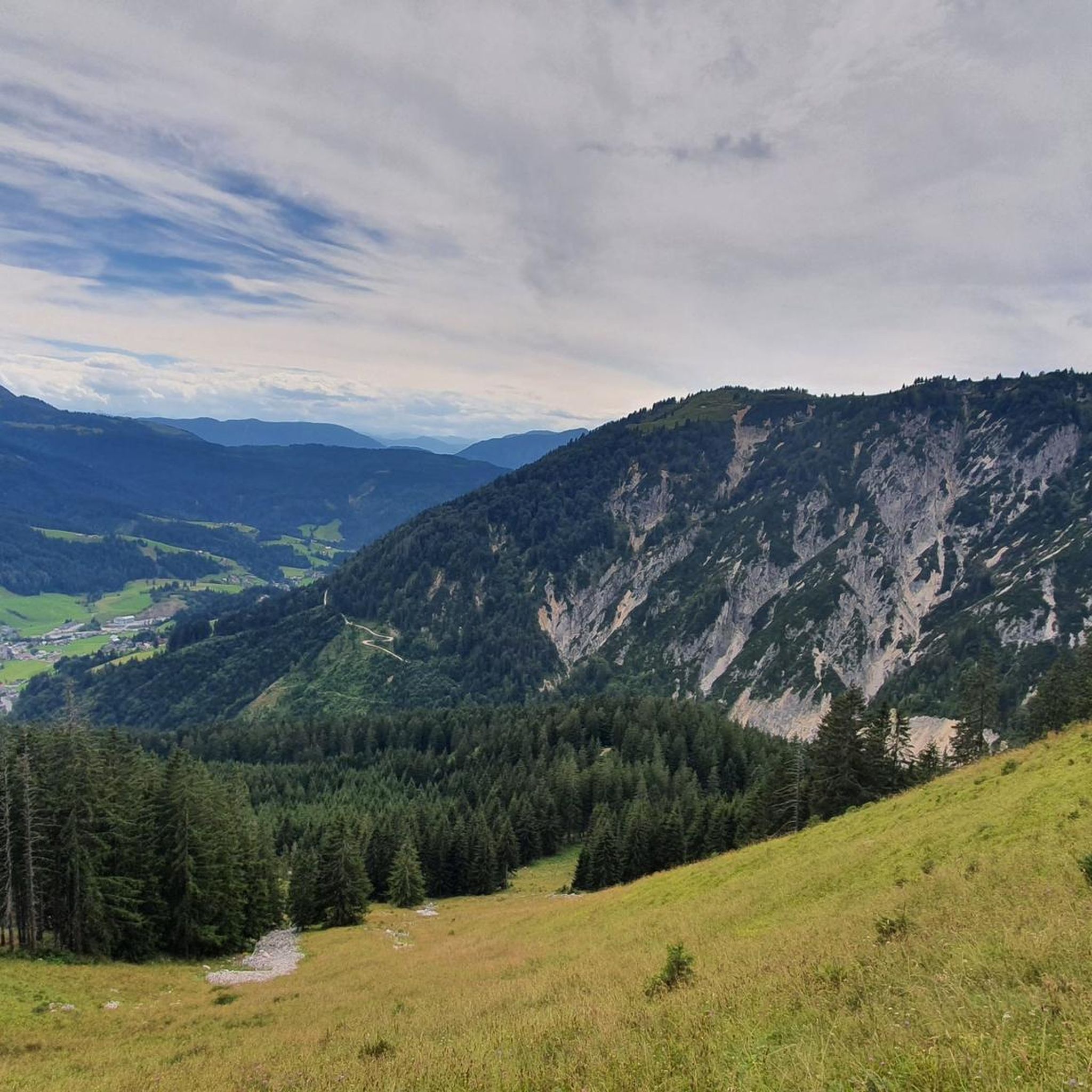
Tips from the Community

The alpine hut on the Angerkaralm is open from June to October. In the other months there is a drinks machine. It is located in the Osterhorn group on the way to Gamsfeld 2027, a destination that is very popular in winter (ski tours and snowshoes) and summer. Great rest area with a beautiful terrace.
0
0
Frequently Asked Questions
What kind of terrain can I expect on mountaineering routes in Wald Gamsfeld?
Wald Gamsfeld is characterized by rugged mountain vistas, rocky paths, and diverse forest trails. As you ascend, the landscape transitions from lower-elevation forests to more open and rugged alpine environments, showcasing interesting geological formations like Dachsteinkalk rock.
Are there any easy or moderate mountaineering routes suitable for beginners in Wald Gamsfeld?
Yes, while many routes are challenging, Wald Gamsfeld offers options for various fitness levels. For a moderate experience, consider the Berggasthof Tannenheim – Angerkaralm Mountain Hut loop from Rußbach am Paß Gschütt, which covers about 10.5 km with around 534 meters of elevation gain. Another moderate option is the Traunwandalm – Angerkaralm Mountain Hut loop from Rußbach am Paß Gschütt, spanning about 10.3 km with 577 meters of ascent.
What are the best viewpoints or scenic spots along the mountaineering trails?
The Gamsfeld summit itself, at 2,027 meters, is renowned for offering expansive panoramic views, with particularly excellent perspectives of the majestic Dachstein Massif and the Gosaukamm. Other notable features and viewpoints in the region include Braunedlkogel and Rußberg.
How many mountaineering routes are available in Wald Gamsfeld?
There are over 45 mountaineering routes available in Wald Gamsfeld, catering to a wide range of difficulty levels from moderate to difficult.
What do other mountaineers enjoy most about the routes in Wald Gamsfeld?
The routes in Wald Gamsfeld are highly rated by the komoot community, with an average score of 4.7 stars from over 100 reviews. Mountaineers often praise the diverse terrain, from forest trails to rugged alpine environments, and the rewarding panoramic views from the summit.
Are there any circular mountaineering routes in Wald Gamsfeld?
Yes, many routes in Wald Gamsfeld are designed as loops. For example, the challenging Gamsfeld Summit (2,027 m) – Gamsfeld Summit loop from Rußbach am Paß Gschütt offers expansive panoramic views, including the majestic Dachstein Massif, over a distance of 14.9 km.
What is the highest peak I can reach on a mountaineering route in Wald Gamsfeld?
The highest peak you can reach is the Gamsfeld mountain itself, standing at 2,027 meters (6,650 feet). It is the highest peak in the Salzkammergut Mountains and offers incredible panoramic views.
Is public transport available to reach the starting points of mountaineering routes in Wald Gamsfeld?
The village of Rußbach, located 1,200 meters below the Gamsfeld summit, often serves as a convenient starting point for excursions. While specific public transport details are not provided, Rußbach's role as a base suggests accessibility for visitors.
Are there any mountain huts or places to rest along the trails?
Yes, the Angerkaralm Mountain Hut is a notable point of interest along some routes, such as the Berggasthof Tannenheim – Angerkaralm Mountain Hut loop from Rußbach am Paß Gschütt, providing a potential stop for rest or refreshment.
What is the best time of year for mountaineering in Wald Gamsfeld?
The region offers diverse trails, but given the alpine environment and potential for snow at higher elevations, late spring through early autumn typically provides the most favorable conditions for mountaineering. Some routes may feature rope protections, indicating challenging sections that are best tackled in good weather.
Are there any particularly challenging mountaineering routes for experienced climbers?
Yes, Wald Gamsfeld offers several challenging alpine expeditions. Some routes are categorized as hard mountaineering, requiring very good fitness, sure-footedness, sturdy shoes, and alpine experience. These can correspond to SAC 4–6 on the Swiss Alpine Club hiking scale, with some more demanding sections featuring rope protections.
Most popular routes in Wald Gamsfeld

Get inspired with the komoot mobile app


Explore more
Browse the best Mountain Hikes & Routes in other regions.
