The best walks and hikes in Wald Gamsfeld
4.7
(4502)
24,385
hikers
218
hikes
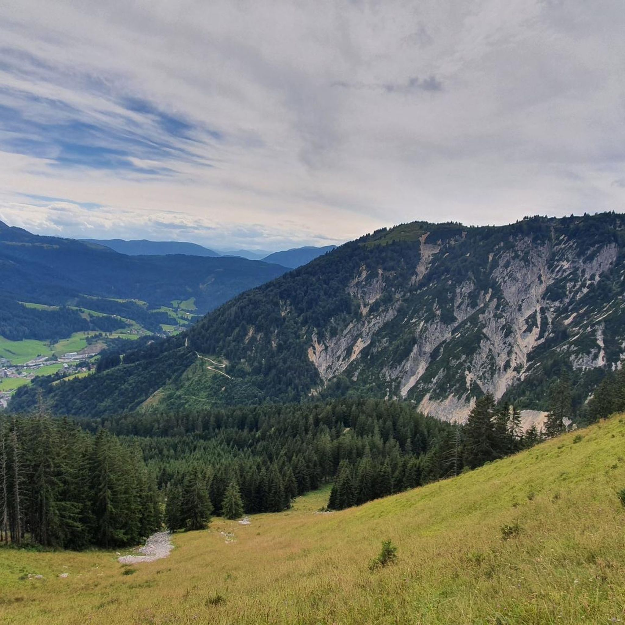
Hiking in Wald Gamsfeld offers diverse alpine terrain within the Salzkammergut Mountains, a sub-range of the Northern Limestone Alps. The region is dominated by the Gamsfeld mountain, which at 2,027 meters, is the highest peak in the range. Trails feature significant elevation gains, rocky paths, and a transition from lower-elevation forests to more open, rugged landscapes at higher altitudes. Hikers can expect challenging routes with panoramic views of the surrounding Austrian Alps.
Best hiking trails in Wald Gamsfeld
- The most…
Last updated: July 4, 2026
4.8
(36)
220
hikers
12.5km
06:13
1,170m
1,170m
Hard hike. Very good fitness required. Mostly accessible paths. Sure-footedness required.
4.8
(33)
113
hikers
4.40km
01:22
170m
170m
Easy hike. Great for any fitness level. Easily-accessible paths. Suitable for all skill levels.

Sign up for free
4.9
(31)
133
hikers
12.0km
04:43
710m
710m
Hard hike. Good fitness required. Sure-footedness, sturdy shoes and alpine experience required.
5.0
(14)
87
hikers
16.1km
05:19
740m
740m
Hard hike. Very good fitness required. Easily-accessible paths. Suitable for all skill levels.
4.6
(24)
80
hikers
Moderate hike. Good fitness required. Mostly accessible paths. Sure-footedness required.
Get access to more routes and recommendations from other explorers.
Sign up for free
Already have an account?
Our route recommendations are based on thousands of hikes, rides, and runs completed by other people on komoot.
Start today with a free account
Your next adventure awaits.
Login or Signup
Tips from the Community

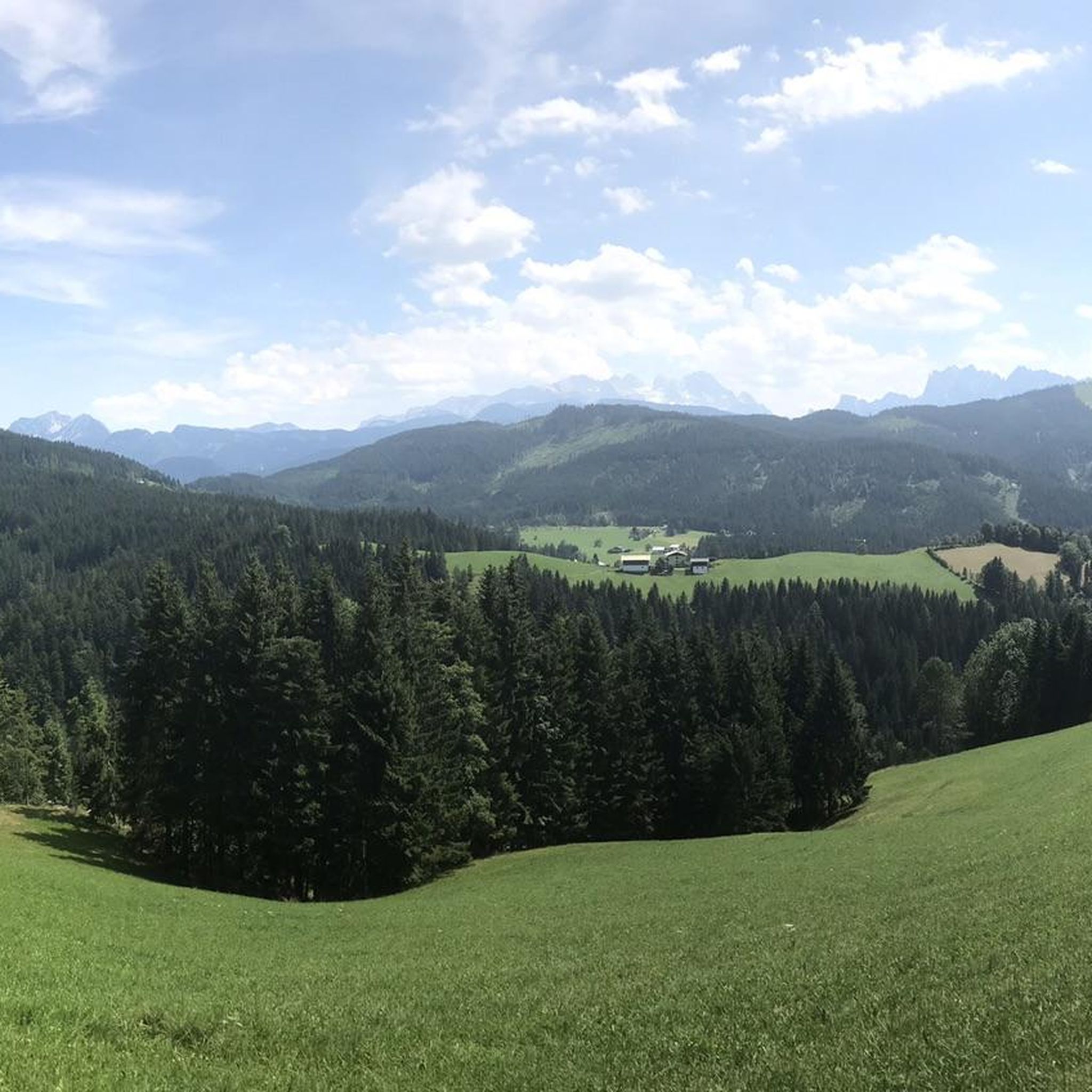
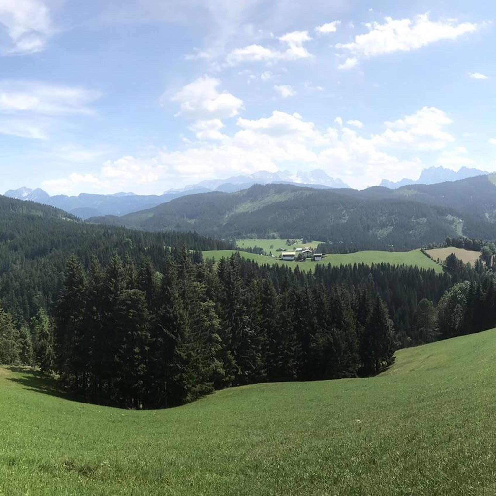
great view of the Dachstein
0
0

Idyllic clearing with stone walls and alpine huts
0
0

Very nice for families with small children.
0
0
fantastic cuisine (e.g. Kaiserschmarren, Kaspressknödel, etc...), super friendly landlady and very fair prices!!!
0
0
beautiful hut with good cuisine on a great vantage point
0
0
idyllic like all alpine huts around Gosau!
0
0

Fantastic panorama of the Dachstein. Variety of animals: horses, goats, sheep and cows. 🏔️🐴
0
0

Many great hikes can be started from this point.
0
0
Frequently Asked Questions
What are the typical difficulty levels for hiking trails in Wald Gamsfeld?
Wald Gamsfeld offers a range of hiking difficulties. You'll find trails from easy, suitable for leisurely walks, to difficult routes that involve significant elevation gains and challenging alpine terrain. Out of 219 total tours, there are 79 easy, 102 moderate, and 38 difficult options.
Are there any easy hiking trails in Wald Gamsfeld?
Yes, there are several easy trails in Wald Gamsfeld. For example, the Rinnbergalmen – Geisterwald Entrance loop from Rußbachsaag is an easy 4.4 km route with moderate elevation, perfect for a less strenuous outing.
What kind of natural features can I expect to see while hiking in Wald Gamsfeld?
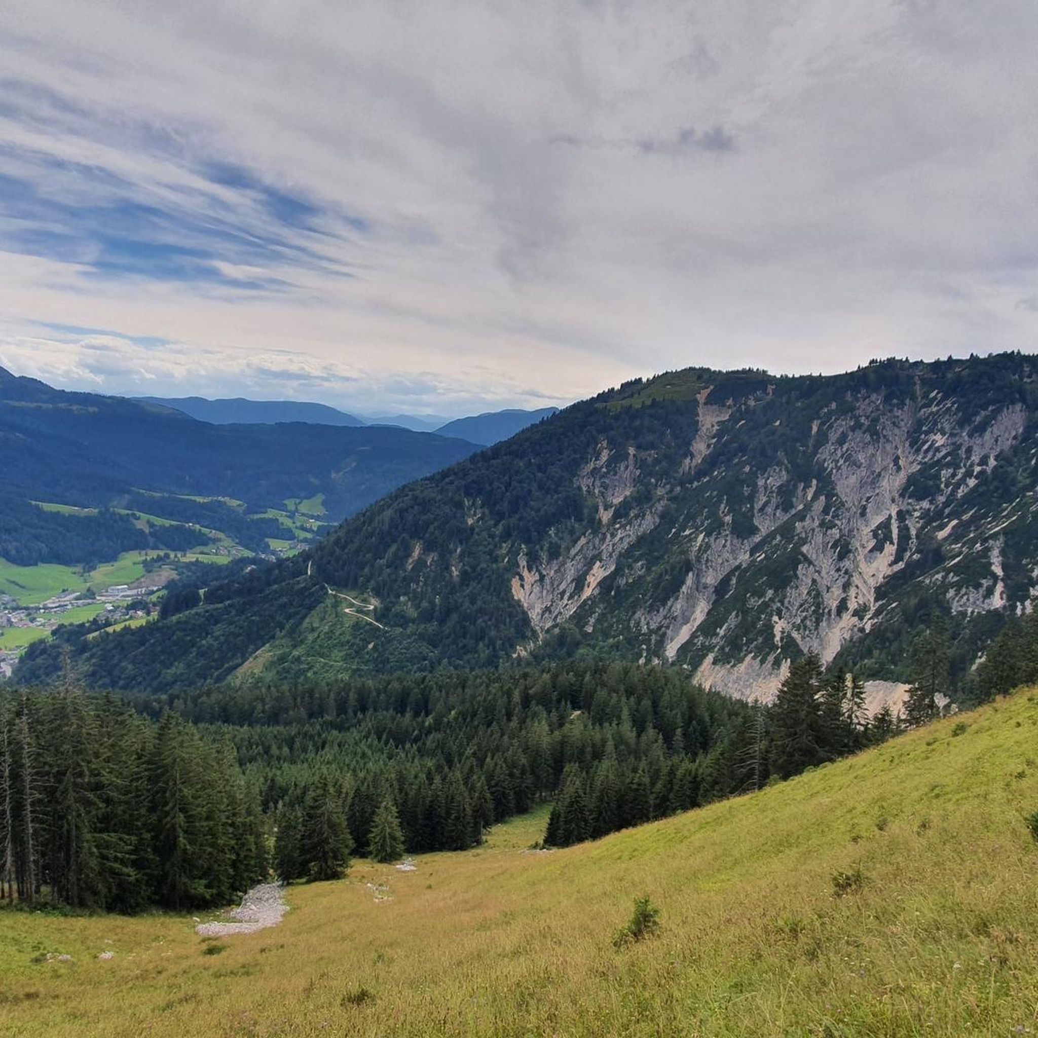
The region is dominated by the Gamsfeld mountain, the highest peak in the Salzkammergut Mountains. You can expect dramatic alpine scenery with rugged mountain vistas, rocky paths, and a transition from lower-elevation forests to more open, rugged landscapes at higher altitudes. From the summit, there are excellent views, including the nearby Dachstein Mountains.
When is the best time of year to hike in Wald Gamsfeld?
The best time for hiking in Wald Gamsfeld is generally from late spring through early autumn (May to October) when trails are clear of snow and weather conditions are most favorable. Some higher alpine routes may still have snow into early summer. The area is also popular for ski touring in winter, indicating its suitability for various seasonal outdoor activities.
Are there circular hiking routes available in Wald Gamsfeld?
Yes, many trails in Wald Gamsfeld are designed as circular routes, allowing you to start and end at the same point. Examples include the challenging Rinnbergalmen – Rocky Path from Rußbach loop from Rußbach am Paß Gschütt and the moderate Geisterwald Entrance – Rinnbergalm loop from Rußbachsaag.
Can I bring my dog on the hiking trails in Wald Gamsfeld?
Generally, dogs are welcome on hiking trails in the Austrian Alps, but it's always advisable to keep them on a leash, especially in alpine pastures where livestock may be present, and to respect local regulations. Ensure your dog is fit for the terrain and carry enough water for both of you.
Are there any challenging hikes in Wald Gamsfeld?
Absolutely. Wald Gamsfeld is known for its demanding alpine expeditions. A challenging option is the Goiserer Hut – Iglmoos Alpine Hut loop from Pass Gschütt, a 16.1 km path with significant ascents and expansive alpine views.
What do other hikers enjoy most about hiking in Wald Gamsfeld?
The komoot community highly rates the hiking experience in Wald Gamsfeld, with an average score of 4.6 stars from over 4,000 reviews. Hikers often praise the rugged mountain vistas, diverse forest trails, and the variety of options catering to different ability levels, from moderate ascents to challenging alpine expeditions.
Are there viewpoints along the trails in Wald Gamsfeld?
Yes, given the alpine nature of the region and the prominence of the Gamsfeld mountain, many trails offer spectacular viewpoints. From higher elevations, especially the Gamsfeld summit, you can enjoy panoramic views of the surrounding Austrian Alps, including the Dachstein Mountains.
How long do hikes typically take in Wald Gamsfeld?
Hike durations vary significantly based on the trail's length and difficulty. An easy 4.4 km loop might take around 1 hour 20 minutes, while a difficult 12.4 km route with over 1,100 meters of elevation gain, like the Rinnbergalmen – Rocky Path from Rußbach loop from Rußbach am Paß Gschütt, can take over 6 hours.
Is parking available for hikers in Wald Gamsfeld?
While specific parking locations aren't detailed in the route descriptions, villages like Rußbach, which serve as starting points for many trails, typically offer designated parking areas for hikers. It's advisable to check local signage or community information for specific parking options near your chosen trailhead.
How can I reach Wald Gamsfeld using public transport?
Wald Gamsfeld is accessible from nearby villages such as Rußbach am Paß Gschütt. These villages often have public transport connections, typically bus services, linking them to larger towns. It's recommended to check local bus schedules for the most current information on reaching trailheads via public transport.
Most popular routes in Wald Gamsfeld

Get inspired with the komoot mobile app


Explore more
Browse the best Hikes in other regions.
