The best walks and hikes in Daxenthaler Forst
4.6
(1666)
9,532
hikers
533
hikes
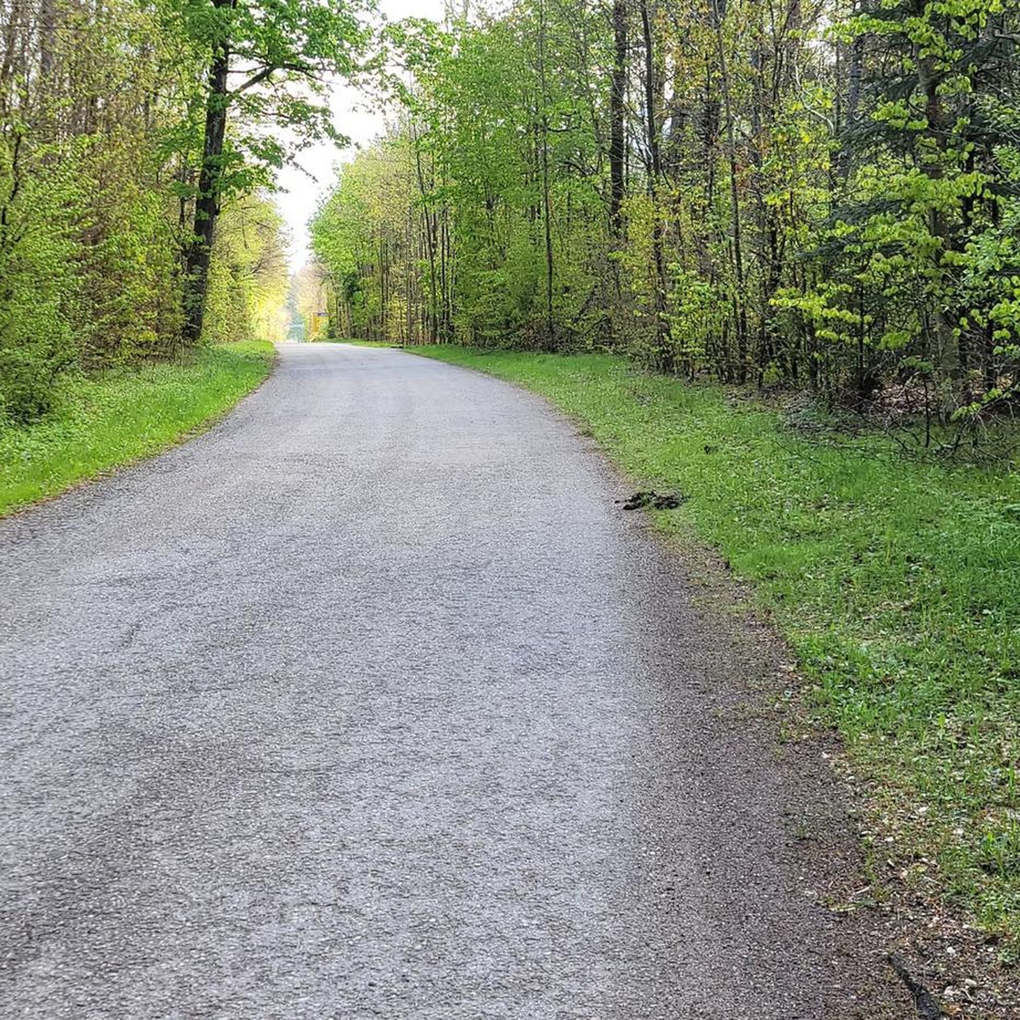
Hiking trails in Daxenthaler Forst are located in the Altötting region, characterized by extensive forest areas and riverine landscapes. The terrain features varied elevation gains, with some routes offering minimal changes suitable for all skill levels, while others present more significant climbs. Hikers can explore paths that lead to the confluence of the Alz and Inn rivers, as well as trails providing views of the Untere Alz River. The region offers diverse routes ranging from short walks to longer excursions.
…Last updated: May 19, 2026
4.0
(7)
31
hikers
Moderate hike. Good fitness required. Easily-accessible paths. Suitable for all skill levels.
5.0
(1)
11
hikers
9.63km
02:27
20m
20m
Moderate hike. Good fitness required. Easily-accessible paths. Suitable for all skill levels.

Sign up for free
7
hikers
3.50km
00:54
20m
20m
Easy hike. Great for any fitness level. Easily-accessible paths. Suitable for all skill levels.
4.0
(2)
5
hikers
5.70km
01:28
30m
30m
Easy hike. Great for any fitness level. Easily-accessible paths. Suitable for all skill levels.
5.0
(1)
4
hikers
13.1km
03:23
60m
60m
Moderate hike. Good fitness required. Easily-accessible paths. Suitable for all skill levels.
Get access to more routes and recommendations from other explorers.
Sign up for free
Already have an account?
Our route recommendations are based on thousands of hikes, rides, and runs completed by other people on komoot.
Start today with a free account
Your next adventure awaits.
Login or Signup
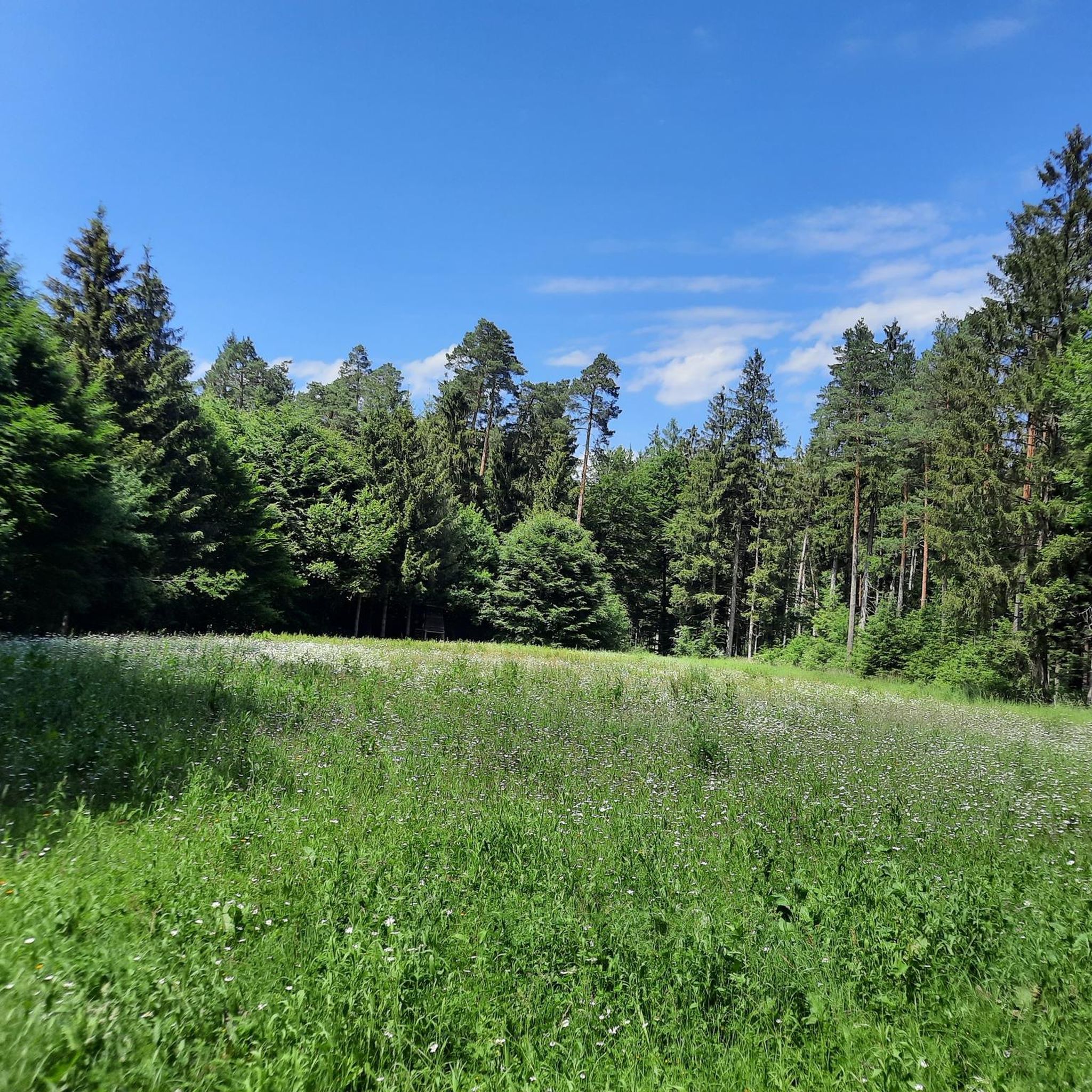
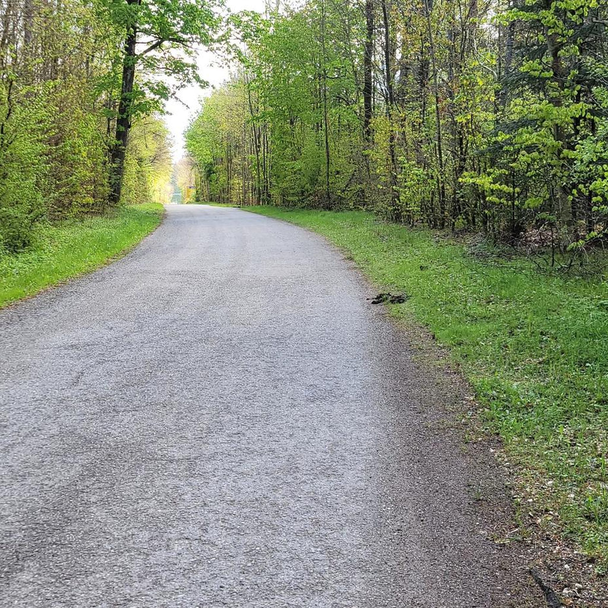
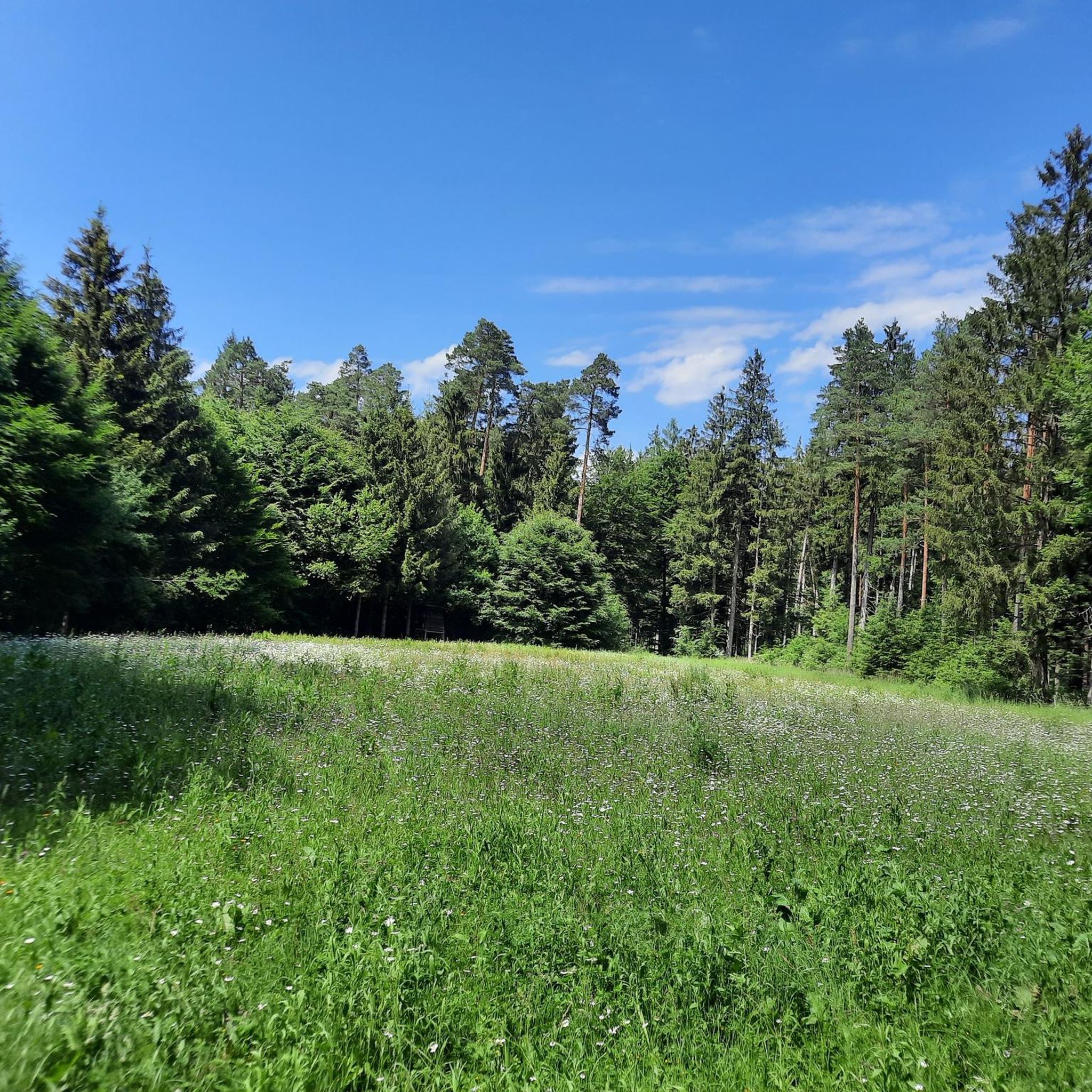
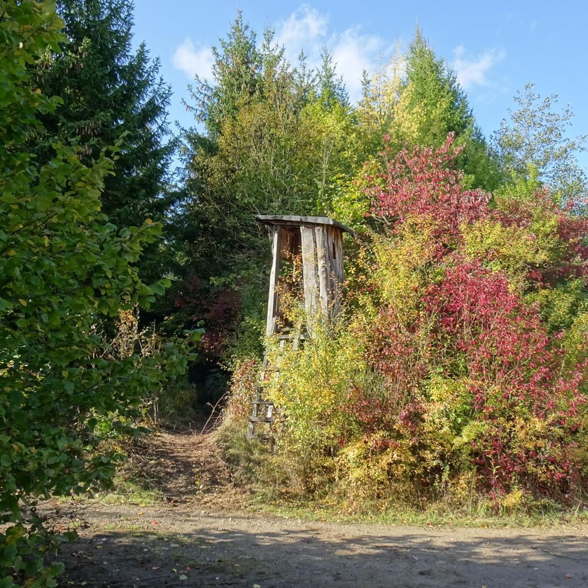
Tips from the Community

The birthplace of our Pope alone is worth seeing.
0
0

In cycle path to Marktl
0
0


Marktl centre in the immediate vicinity of the birthplace of Pope Benedict XVI, the Benedictine Column and the local museum
0
0

Seldom does anyone come here, you can tell by the overgrown path, the last few meters to Inn Spitz have to be covered on foot, but it is worth it.
0
0

Beautiful play of colors of both rivers when they run together
1
0
Wonderful play of colors of both waters
1
0
The best time is in spring or autumn, when you can also walk across the meadows.
0
0
Frequently Asked Questions
What kind of terrain can I expect when hiking in Daxenthaler Forst?
Daxenthaler Forst is characterized by extensive forest areas and riverine landscapes, particularly around the confluence of the Alz and Inn rivers. You'll find varied elevation gains, from routes with minimal changes suitable for all skill levels to others with more significant climbs. The area also features floodplain landscapes.
How many hiking routes are available in Daxenthaler Forst?
There are over 500 hiking routes available in Daxenthaler Forst. These range from short, easy walks to more challenging moderate excursions, ensuring options for various fitness levels and preferences.
What are the general difficulty levels of hikes in Daxenthaler Forst?
The hiking trails in Daxenthaler Forst cater to a wide range of abilities. You'll find a significant number of easy routes, with over 330 trails classified as easy. There are also more than 180 moderate routes for those seeking a bit more challenge, and a few difficult trails for experienced hikers.
What natural features or points of interest can I see while hiking in Daxenthaler Forst?
Many routes in Daxenthaler Forst offer scenic views and natural highlights. You can explore paths that lead to the impressive confluence of the Alz and Inn rivers, or trails that provide picturesque views of the Untere Alz River. Additionally, some routes, like the Mastenlacke – Floodplain landscape on the Isen loop from Haiming, take you through unique floodplain landscapes.
Are there family-friendly hiking options in Daxenthaler Forst?
Yes, Daxenthaler Forst offers many routes suitable for families. With over 330 easy trails, you can find numerous options that are shorter and have minimal elevation changes, perfect for walks with children. For example, the Schloss Piesing loop from Schloss Piesing is an easy, shorter route.
Can I bring my dog on the hiking trails in Daxenthaler Forst?
Daxenthaler Forst is generally welcoming to dogs, making it a great place for walks with your canine companion. While specific regulations may vary, it's always recommended to keep your dog on a leash, especially in forested areas or near wildlife, and to clean up after them.
Are there many circular hiking routes available in Daxenthaler Forst?
Yes, many of the hiking routes in Daxenthaler Forst are designed as circular walks, allowing you to start and end at the same point without retracing your steps. Popular examples include the Confluence of Alz and Inn loop from Marktl and the View of the Untere Alz River loop from Marktl.
What do other hikers enjoy the most about hiking in Daxenthaler Forst?
The hiking experience in Daxenthaler Forst is highly rated by the komoot community, with an average score of 4.6 stars from over 1,500 reviews. Hikers often praise the diverse terrain, the scenic river confluences, and the peaceful forest atmosphere. The variety of routes suitable for different skill levels is also frequently highlighted.
Where can I park when visiting Daxenthaler Forst for a hike?
Parking options are generally available near popular trailheads and access points in the Daxenthaler Forst area, particularly in nearby towns like Marktl and Haiming. Specific parking information is often provided on individual route descriptions on komoot, helping you plan your starting point.
Is Daxenthaler Forst accessible by public transport?
Access to Daxenthaler Forst by public transport is possible, though it may require some planning depending on your starting location. Nearby towns like Marktl and Haiming have public transport connections, from which you can often reach trailheads. Checking local bus schedules is recommended for the most up-to-date information.
Are there places to eat or drink near the hiking trails?
While Daxenthaler Forst itself is a natural area, the surrounding towns of Haiming and Marktl offer various options for refreshments. You can find cafes, pubs, and restaurants in these communities where you can enjoy a meal or a drink before or after your hike.
What is the best time of year to hike in Daxenthaler Forst?
Daxenthaler Forst offers enjoyable hiking experiences throughout much of the year. Spring brings fresh greenery, while autumn showcases vibrant fall colors. Summer is ideal for longer days, and even mild winter days can be pleasant for a walk, though conditions may vary. Always check local weather forecasts before heading out.
Most popular routes in Daxenthaler Forst

Get inspired with the komoot mobile app


Explore more
Browse the best Hikes in other regions.
