The best running trails in Rannberg
4.5
(233)
10,136
runners
110
runs
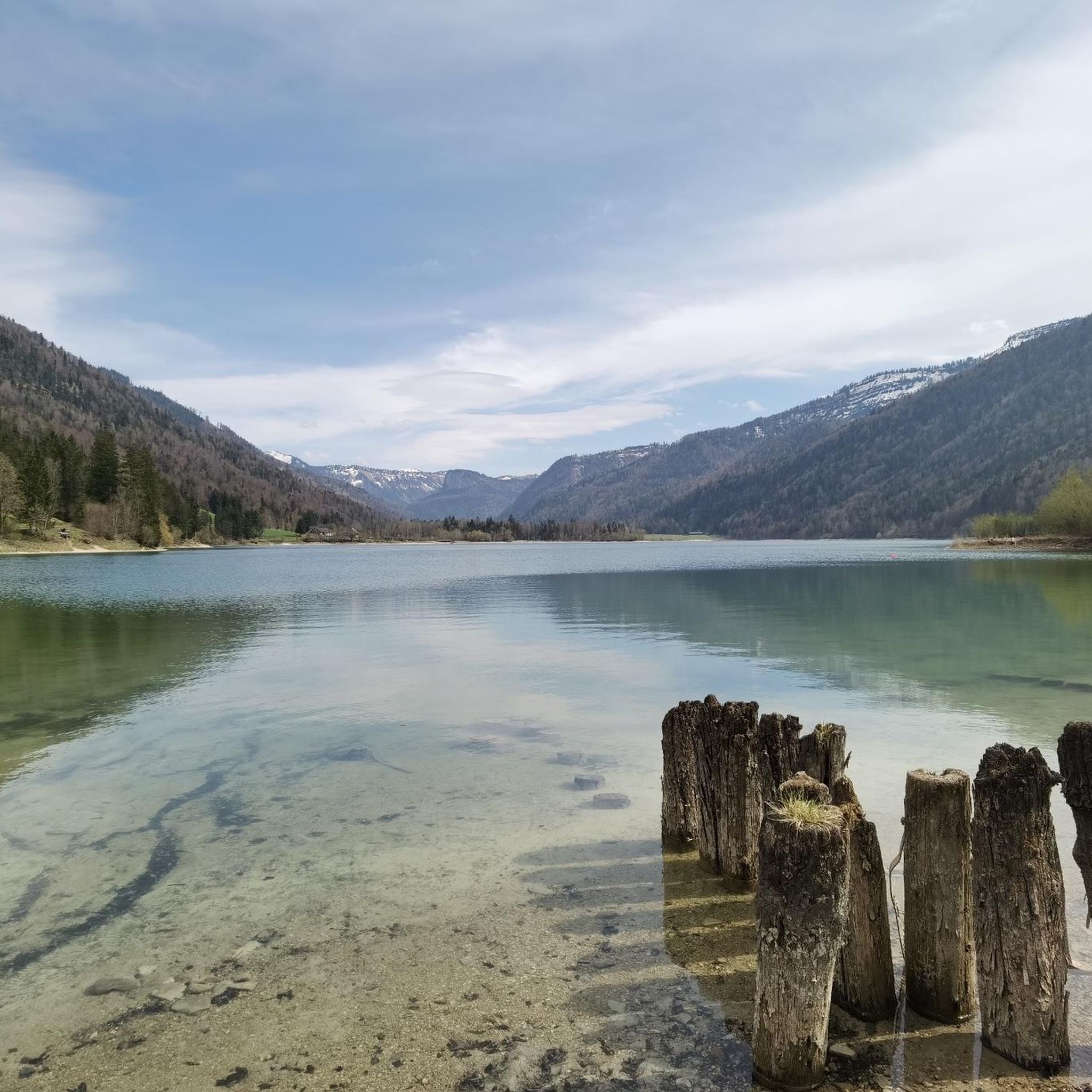
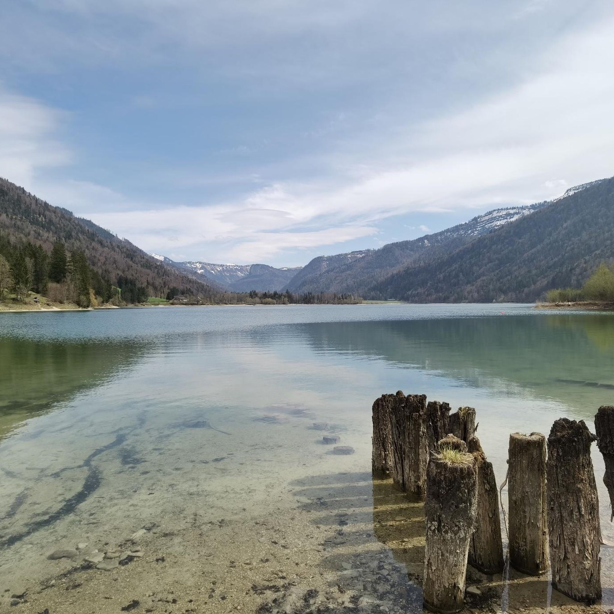
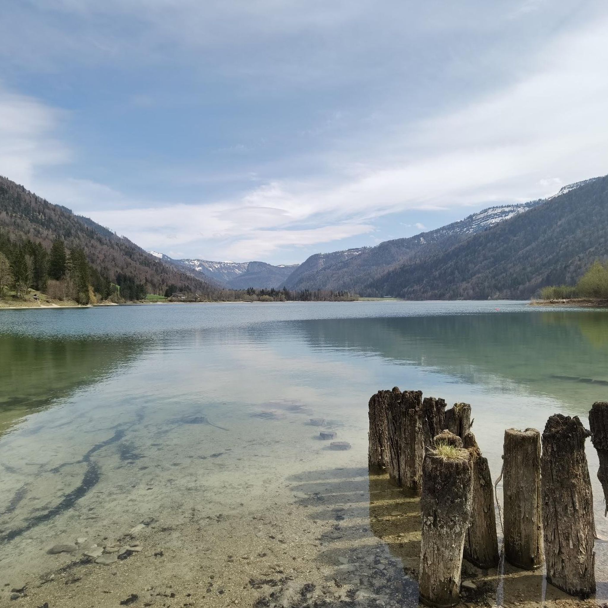
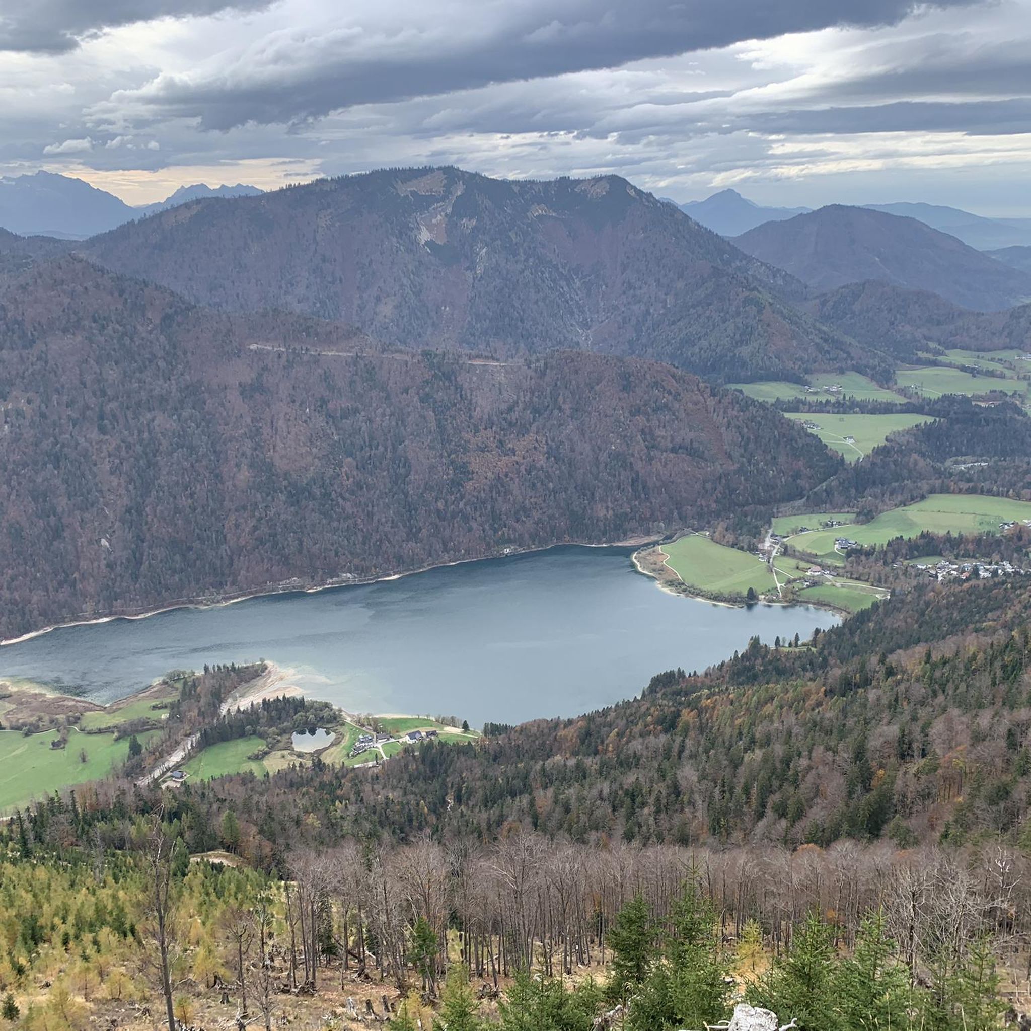
Jogging in Rannberg offers a diverse landscape for runners, characterized by the prominent Hintersee Lake and its surrounding natural areas. The region features a mix of flat lake shore paths, rolling hills, and forested sections, providing varied terrain for different running preferences. With elevations ranging from gentle inclines to more challenging ascents, Rannberg's routes cater to a wide spectrum of abilities.
Best jogging routes in Rannberg
- The most popular jogging route is Running loop from Hintersee, a 3.3 miles…
Last updated: July 1, 2026
5.0
(9)
260
runners
Moderate run. Good fitness required. Mostly paved surfaces. Suitable for all skill levels.
5.0
(9)
252
runners
Moderate run. Good fitness required. Mostly paved surfaces. Suitable for all skill levels.

Sign up for free
11
runners
19.5km
02:54
950m
950m
Hard run. Very good fitness required. Mostly paved surfaces. Suitable for all skill levels.
9
runners
3.42km
00:21
20m
20m
Easy run. Great for any fitness level. Mostly paved surfaces. Suitable for all skill levels.
5.0
(3)
26
runners
4.39km
00:34
110m
110m
Moderate run. Good fitness required. Mostly paved surfaces. Suitable for all skill levels.
Get access to more routes and recommendations from other explorers.
Sign up for free
Already have an account?
Our route recommendations are based on thousands of hikes, rides, and runs completed by other people on komoot.
Start today with a free account
Your next adventure awaits.
Login or Signup

Tips from the Community

Still nice and quiet at the beginning of March!
0
0
A very nice section of the MTB loop
0
0
At the beginning of March it was still very idyllic and quiet.
0
0
Definitely visit during a quiet time of year
1
0

Cheese spaetzle on the Latschenalm
0
0

Frequently Asked Questions
Are there easy running routes for beginners in Rannberg?
Yes, Rannberg offers several easy running routes perfect for beginners. For instance, the Hintersee Lake – Hirsch Point loop from Hintersee is an easy 2.1-mile (3.4 km) trail with minimal elevation gain, ideal for a gentle jog.
What is the typical length of running trails in Rannberg?
Running trails in Rannberg vary significantly in length. You'll find shorter loops around 2-3 miles (3-5 km), such as the popular Running loop from Hintersee, as well as longer, more challenging routes like the Hintersee Lake loop from Hintersee, which spans over 11 miles (19 km).
Where can I find parking for running routes in Rannberg?
Many running routes in Rannberg, especially those around Hintersee Lake, start from well-known access points like Hintersee village or Faistenau. It's generally advisable to look for designated parking areas near these trailheads. Specific parking information is often available on the individual route pages on komoot.
Is Rannberg accessible by public transport for runners?
While specific public transport details for each trailhead are best checked locally, major points of interest like Hintersee Lake are typically served by regional bus lines. We recommend checking local transport schedules to plan your journey to the starting points of the running routes.
Are there family-friendly jogging routes in Rannberg?
Absolutely. Rannberg features numerous flat and well-maintained paths, particularly around Hintersee Lake, which are suitable for families. These routes often offer scenic views and a relaxed atmosphere, making them enjoyable for all ages. Look for routes marked as 'easy' for the best family experience.
Are dogs allowed on the running trails in Rannberg?
Most running trails in Rannberg are dog-friendly, allowing you to enjoy a jog with your canine companion. However, it's always important to keep your dog on a leash, especially in nature protection areas or near wildlife, and to clean up after them. Always check local signage for any specific restrictions.
What is the best time of year for jogging in Rannberg?
Rannberg offers excellent running conditions throughout much of the year. Spring and autumn provide pleasant temperatures and beautiful scenery with changing foliage. Summer is also popular, especially for early morning or late evening runs to avoid the midday heat. Even in winter, some trails are accessible for running, offering a unique snowy landscape.
Are there circular running routes in Rannberg?
Yes, Rannberg is known for its abundance of circular running routes, particularly around Hintersee Lake. Many trails are designed as loops, allowing you to start and finish at the same point. A great example is the Hintersee Lake – West Shore Trail at Hintersee loop from Hintersee, which offers a scenic circular experience.
What do other runners enjoy the most about jogging in Rannberg?
The komoot community highly rates Rannberg's running routes, with an average score of 4.5 stars from over 190 reviews. Runners frequently praise the diverse landscape, including the beautiful lake shores, rolling hills, and tranquil forested paths. The variety of terrain catering to all ability levels is also a common highlight.
Are there any running routes with viewpoints in Rannberg?
Many running routes in Rannberg offer stunning viewpoints, especially those that ascend into the rolling hills surrounding Hintersee Lake. While specific named viewpoints vary, the natural topography ensures plenty of scenic vistas of the lake and the surrounding alpine landscape. Look for routes with higher elevation gain for the most expansive views.
How many jogging routes are available in Rannberg?
Rannberg boasts a comprehensive network of over 110 jogging routes. This includes a wide range of options, from easy, flat paths to more challenging trails with significant elevation changes, ensuring there's a suitable route for every runner.
Are there any moderate running trails for intermediate runners?
Yes, Rannberg has a large selection of moderate running trails, with over 50 routes designed for intermediate runners. These trails often combine varied terrain, including some inclines and descents, providing a good workout without being overly strenuous. The Running loop from Faistenau is a good example of a moderate route.
Most popular routes in Rannberg

Get inspired with the komoot mobile app


Explore more
Browse the best Running Trails & Routes in other regions.
