The best walks and hikes in Rannberg
4.6
(10322)
66,498
hikers
14
hikes
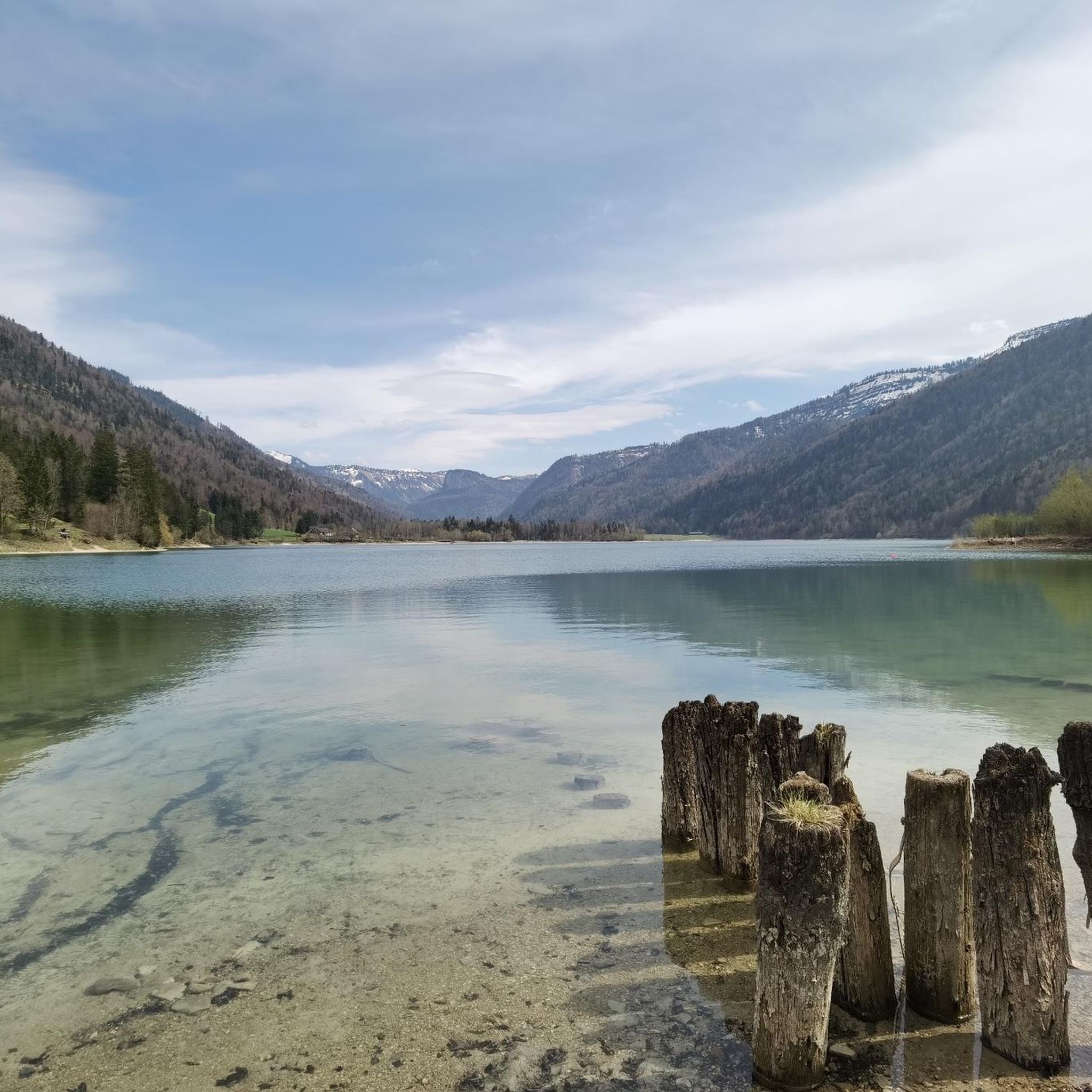
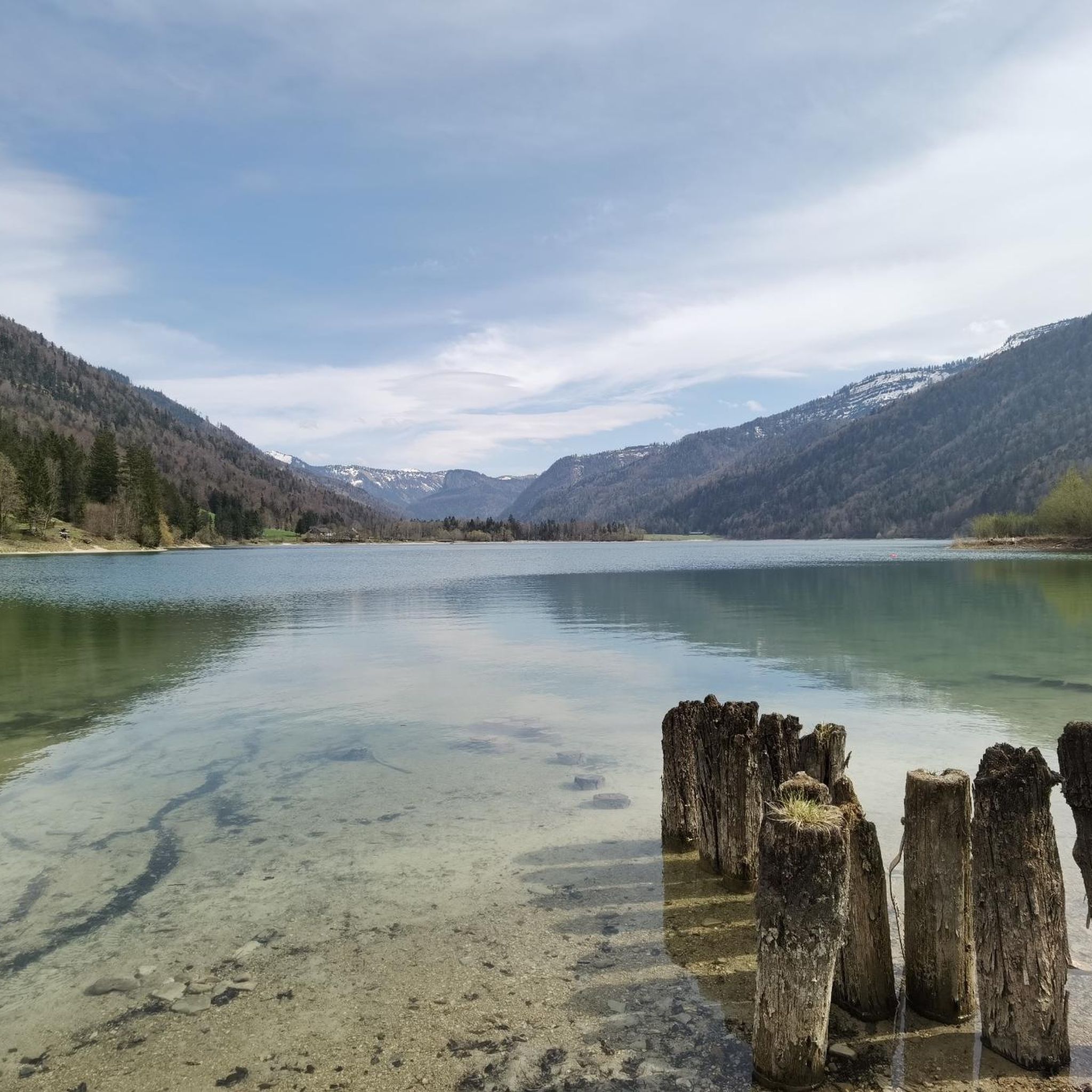
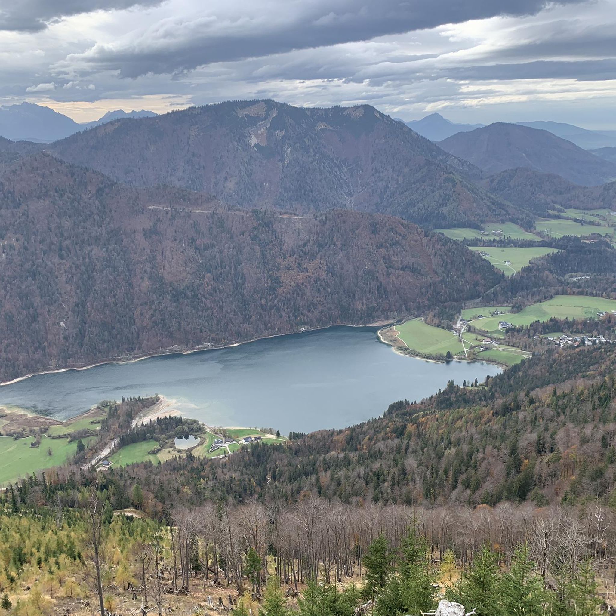
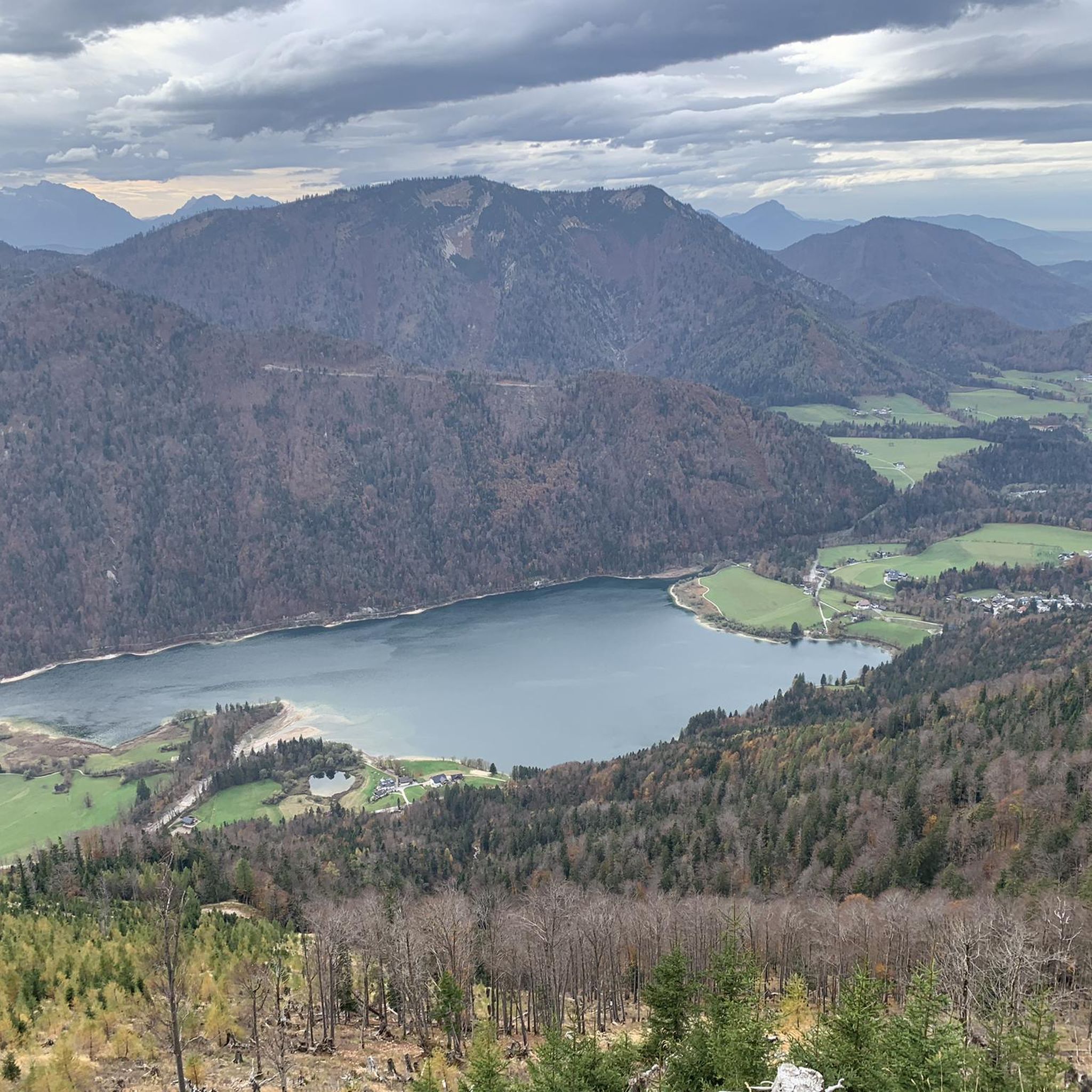
Hiking in Rannberg, located in the Salzkammergut Mountains of Austria's Salzburg region, offers diverse landscapes for outdoor activities. The area features varied terrain, including marked paths, forest roads, and ridges, with forested slopes and alpine meadows. Panoramic views from the summit encompass surrounding mountains like the Osterhorngruppe and the distant Tennengebirge, alongside the serene Hintersee.
Best hiking trails in Rannberg
- The most popular hiking route is Hintersee — South Shore – West Shore Trail at Hintersee loop from Hintersee,…
Last updated: July 6, 2026
4.8
(274)
1,760
hikers
Easy hike. Great for any fitness level. Easily-accessible paths. Suitable for all skill levels.
4.6
(35)
103
hikers
11.2km
03:11
260m
260m
Moderate hike. Good fitness required. Easily-accessible paths. Suitable for all skill levels.

Sign up for free
4.7
(11)
37
hikers
20.2km
06:49
930m
930m
Hard hike. Very good fitness required. Easily-accessible paths. Suitable for all skill levels.
4.3
(11)
54
hikers
Moderate hike. Good fitness required. Easily-accessible paths. Suitable for all skill levels.
4.5
(10)
49
hikers
15.3km
05:35
880m
880m
Hard hike. Very good fitness required. Easily-accessible paths. Suitable for all skill levels.
Get access to more routes and recommendations from other explorers.
Sign up for free
Already have an account?
Our route recommendations are based on thousands of hikes, rides, and runs completed by other people on komoot.
Start today with a free account
Your next adventure awaits.
Login or Signup

Tips from the Community

Kneipp basin directly at the parking lot next to the bridge
0
0

Beware of a biting dog. Behind the meadow there is a house and you will be bitten and chased without warning. Really not to be trifled with.
0
0

Caution! Behind the house/yard at waypoint 5, a biting dog awaits - you'll be greeted with a growl, chased, and then simply bitten. No greetings to the owner, certainly didn't enjoy the best upbringing ✌️
0
0

Very quiet at the beginning of March!
0
0
beautiful section of the MTB trail
0
0
At the beginning of March it was still very idyllic and quiet.
0
0

Wieserhörndl
0
0
Frequently Asked Questions
How many hiking trails are available in Rannberg?
Rannberg offers a selection of 14 distinct hiking trails, catering to various preferences and fitness levels. These include 6 easy routes, 5 moderate, and 3 more challenging options.
What kind of views can I expect on a hike in Rannberg?
Hikers in Rannberg are treated to breathtaking panoramic views. From the summit, you can enjoy a fantastic 360-degree vista of the surrounding mountains, including the Osterhorngruppe and the distant Tennengebirge. The serene Hintersee is also often visible, adding to the picturesque scenery.
Are there any easy hikes suitable for beginners or families in Rannberg?
Yes, Rannberg has several easy routes perfect for beginners or families. A great option is the Hintersee — South Shore – West Shore Trail at Hintersee loop from Hintersee, an easy 3.2-mile (5.2 km) trail that explores the beautiful lakeside environment of Hintersee.
What are some of the more challenging hikes in the Rannberg area?
For those seeking a challenge, Rannberg offers routes like the Hintersee Lakeside Promenade – Spielberg Summit Cross loop from Hintersee. This difficult 12.6-mile (20.2 km) trail leads through forested slopes and towards a summit cross, requiring good fitness and sure-footedness.
Are there any circular hiking routes in Rannberg?
Many of Rannberg's trails are designed as loops, allowing you to start and end at the same point. For example, the Rock Pool – Vordersee Dam loop from Hintersee is a moderate 6.9-mile (11.2 km) path offering varied lakeside and forest scenery.
What do other hikers say about the trails in Rannberg?
The trails in Rannberg are highly regarded by the komoot community, with an average rating of 4.5 stars from over 1,700 reviews. Hikers frequently praise the diverse landscapes, the tranquil atmosphere, and the stunning panoramic views from the mountain peaks.
Are there any specific natural landmarks or points of interest to look out for?
Beyond the panoramic views, hikers can explore unique natural features like the picturesque Stegeralm, known for its traditional wooden huts and a distinctive stilt house. The serene Hintersee is also a prominent landmark, often visible from higher elevations.
Can I find moderate-difficulty hikes that offer a good balance of challenge and scenery?
Absolutely. A popular moderate route is the West Shore Trail at Hintersee – Hintersee — South Shore loop from Hintersee. This 9.1-mile (14.7 km) trail provides a rewarding experience with varied terrain and beautiful lakeside views without being overly strenuous.
Are there any trails that lead to prominent summit crosses in the area?
Yes, for those aiming for a summit experience, the Spielberg Summit Cross – Wieserhörndl Summit Cross loop from Hintersee is a challenging 9.5-mile (15.3 km) route that takes you to significant summit crosses, offering expansive views.
What makes hiking in Rannberg unique compared to other nearby areas?
Rannberg offers a more tranquil and secluded summit experience compared to its more frequented neighbors like Loibersbacher Höhe. This allows hikers to enjoy greater solitude amidst nature while still experiencing diverse landscapes, from marked paths to unmarked forest roads and alpine meadows.
Most popular routes in Rannberg

Get inspired with the komoot mobile app


Explore more
Browse the best Hikes in other regions.
