The best mountain hikes in Hoher Zinken
4.8
(138)
1,911
hikers
76
hikes
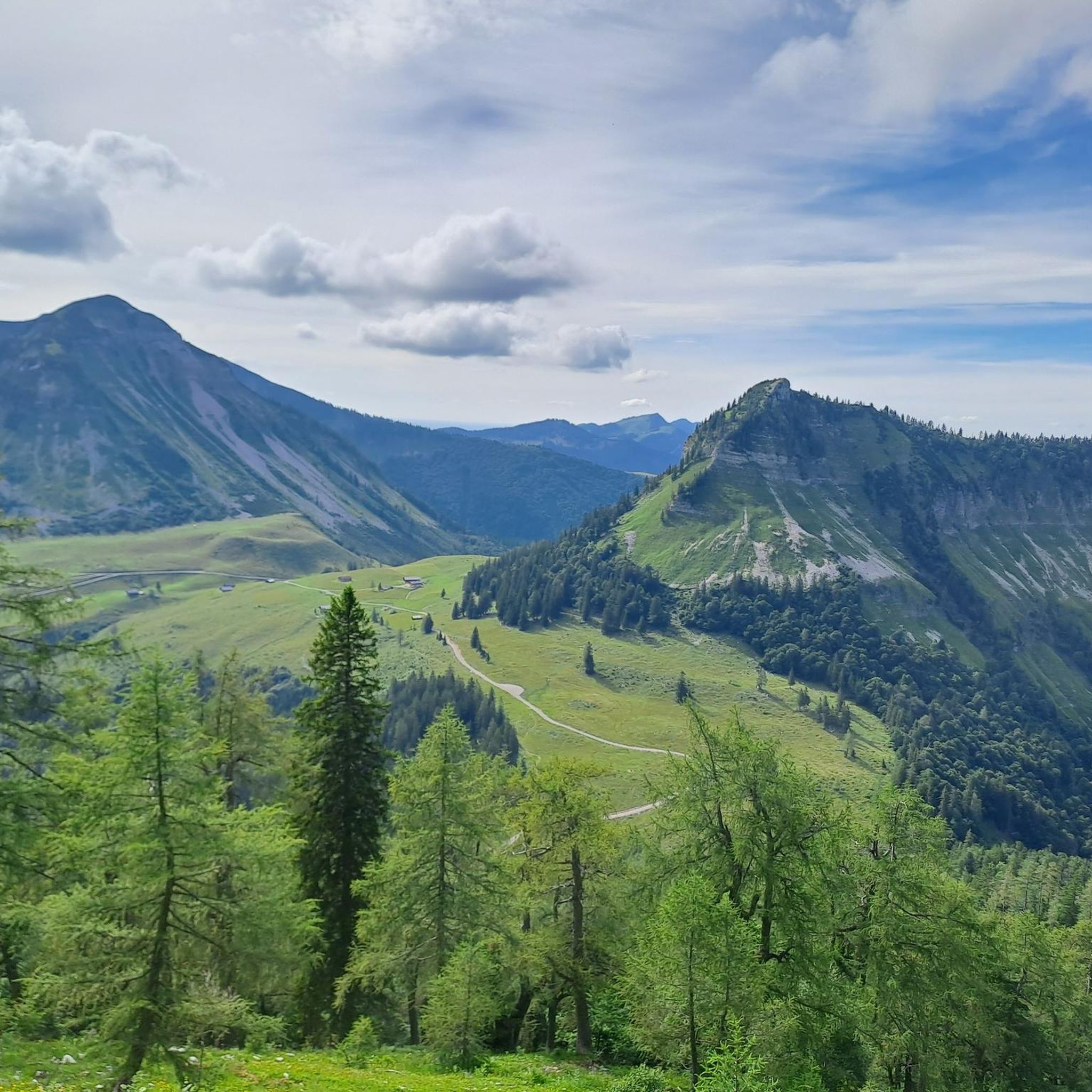
Mountaineering in Hoher Zinken, located in the Salzkammergut Mountains, offers diverse terrain ranging from alpine pastures and dense forests to exposed sections. The region is characterized by its varied landscapes, including distinct paths, forest roads, and grassy plateaus, leading to elevations that provide extensive panoramic views. Hoher Zinken features a mix of challenging ascents and more moderate trails, often traversing through larch stands and dwarf pine corridors. The area's natural features include streams, valleys, and prominent peaks like the Hoher…
Last updated: July 1, 2026
14
hikers
4.90km
02:58
520m
520m
Hard mountaineering route. Good fitness required. Sure-footedness, sturdy shoes and alpine experience required.
5
hikers
9.25km
04:01
520m
530m
Hard mountaineering route. Good fitness required. Sure-footedness, sturdy shoes and alpine experience required.

Sign up for free
5.0
(2)
23
hikers
8.45km
03:41
580m
580m
Moderate mountaineering route. Good fitness required. Mostly accessible paths. Sure-footedness required.
4.5
(2)
44
hikers
6.69km
02:32
460m
460m
Moderate mountaineering route. Good fitness required. Mostly accessible paths. Sure-footedness required.
4.6
(8)
122
hikers
16.4km
06:53
1,080m
1,080m
Hard mountaineering route. Very good fitness required. Mostly accessible paths. Sure-footedness required.
Get access to more routes and recommendations from other explorers.
Sign up for free
Already have an account?
Our route recommendations are based on thousands of hikes, rides, and runs completed by other people on komoot.
Start today with a free account
Your next adventure awaits.
Login or Signup
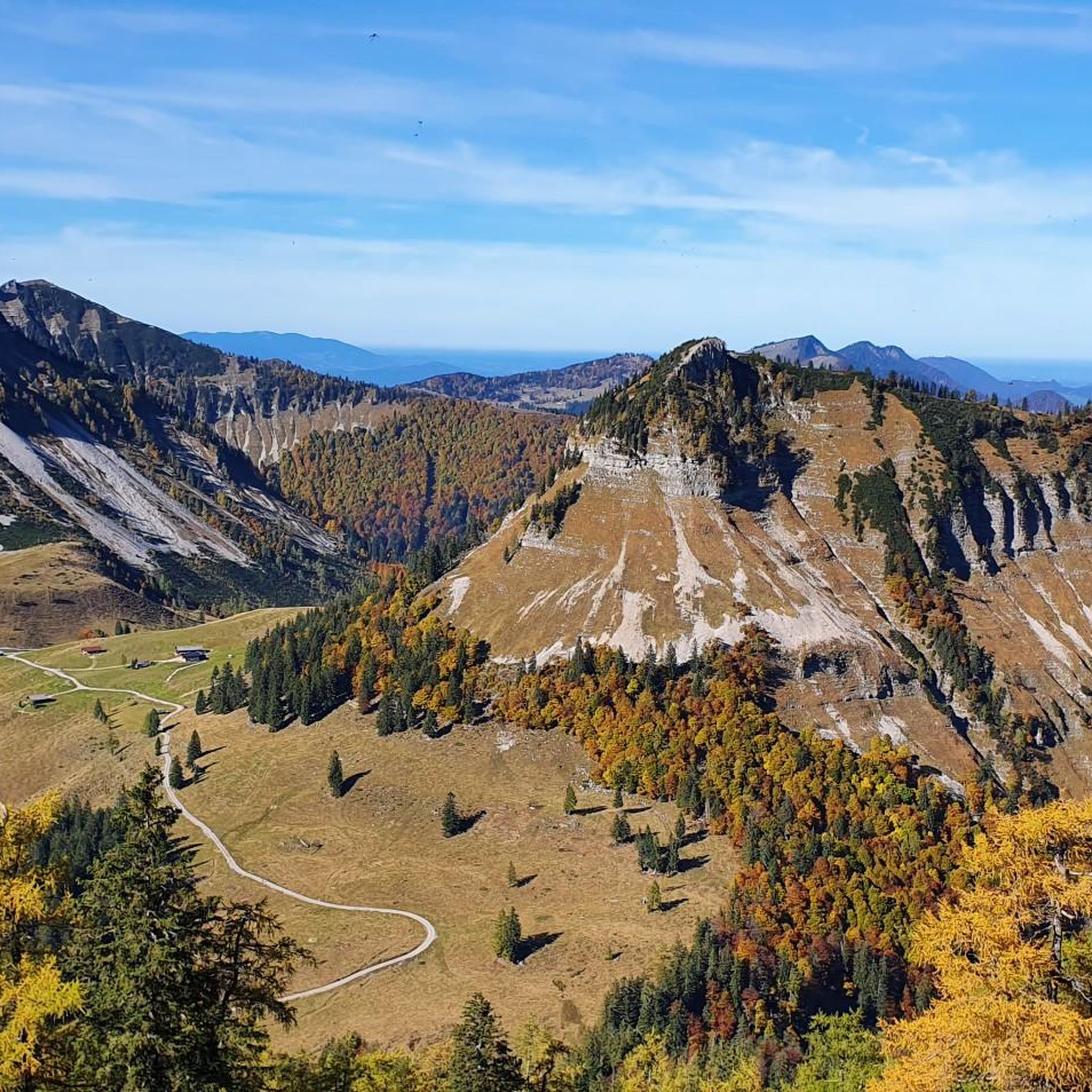
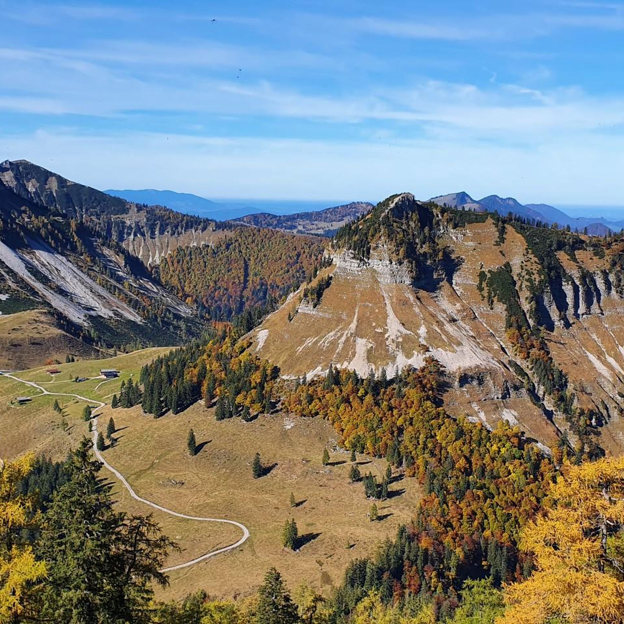

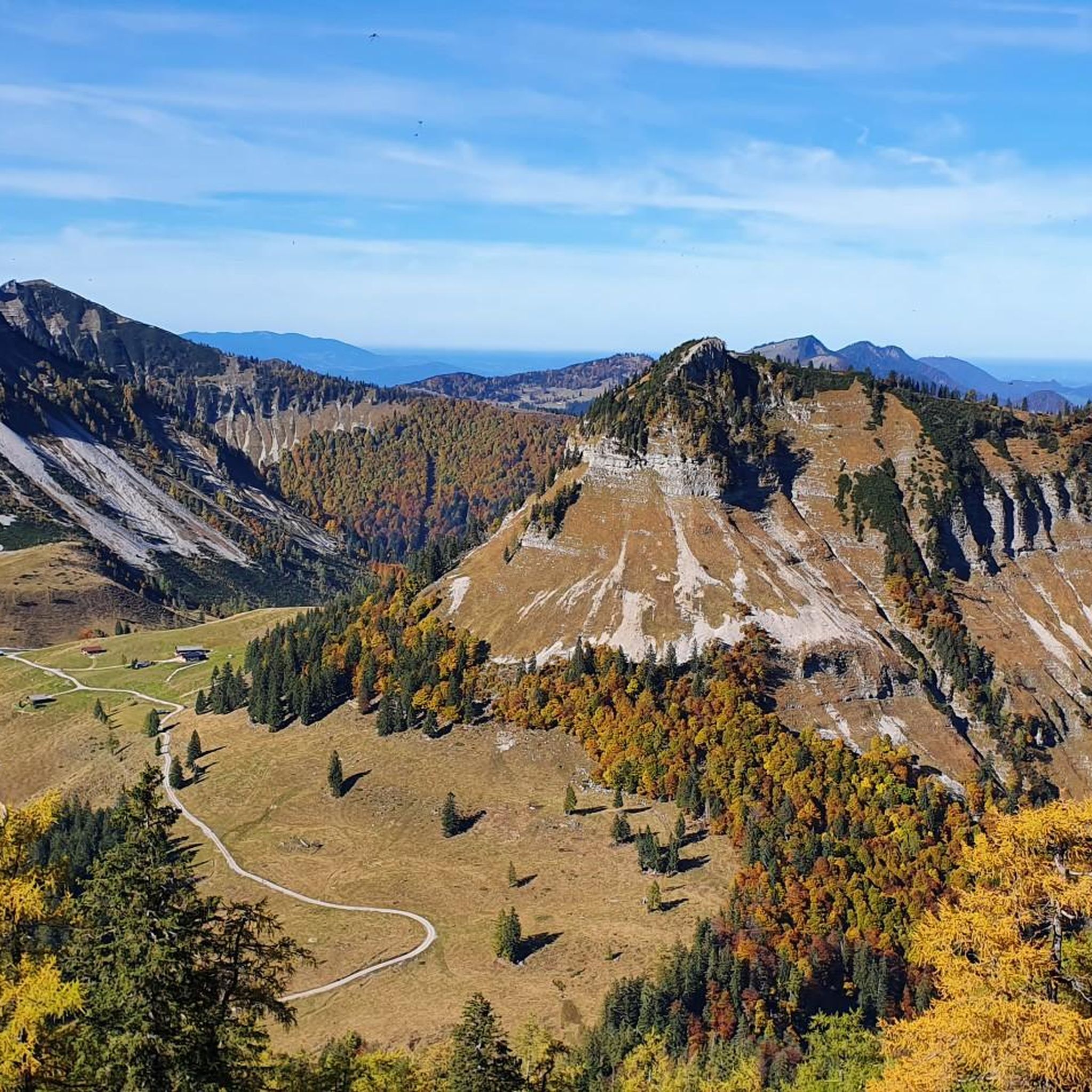
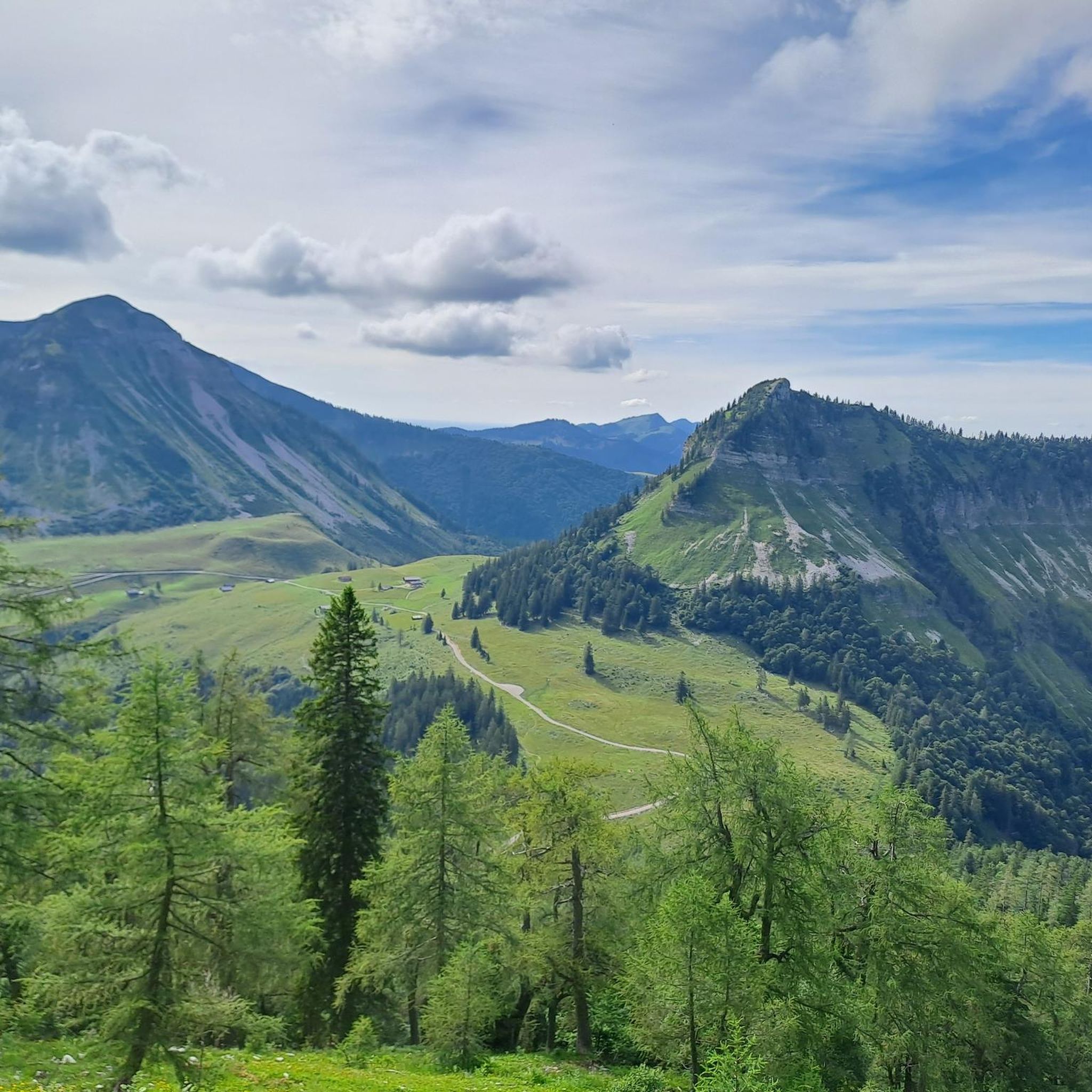
Tips from the Community

Gennerhorn summit cross
0
0

beautiful alpine pasture at the end of the Osterhornrunde
1
0
beautiful to ride on the MTB
0
0
great hut at the end of the Osterhornrunde on the Genneralm
0
0

Here you'll find the opportunity to charge your e-bike and enjoy a refreshing drink at the same time. Several hiking tours also start from here. If you're up for a bike and hike tour, this is the place for you.
0
0

Beautiful ridge path from the Gruberhorn to the Dürlstein or Hohen First. Caution: In the last third of the route, you reach the ridge via a steel ladder over the rock face. The ladder isn't very high, but you climb up to the top of the ridge, so this is only for experienced hikers! Great view of the Gruberhorn!
0
0

Highest point of the Osterhorn circuit.
0
0

It is very easy to get to Gennerhor or Osterhorn from the car park by mountain bike.
1
0
Frequently Asked Questions
How many mountaineering routes are available in Hoher Zinken?
Hoher Zinken offers a wide selection of mountaineering routes, with over 70 tours available. These range from moderate ascents to more challenging, difficult sections, catering to various skill levels.
What kind of terrain can I expect on the mountaineering routes in Hoher Zinken?
The terrain in Hoher Zinken is quite diverse. You'll encounter idyllic alpine pastures, dense forests, distinct paths, forest roads, and grassy plateaus. Some routes also feature sections through larch stands and dwarf pine corridors, with more exposed and challenging sections for experienced mountaineers.
Are there any family-friendly or beginner-suitable mountaineering routes?
Yes, while many routes are challenging, there are options suitable for beginners or families with some hiking experience. For example, the Poschn-Hütten – Summit Cross Hoher Zinken loop from Lämmerbach is rated as moderate and leads through alpine pastures and forests, offering a less strenuous option.
What are the best viewpoints or natural features to see along the routes?
From the summit of Hoher Zinken, you'll be treated to extensive panoramic views of the surrounding mountains, including the majestic Dachstein and Hochkönig, as well as picturesque lakes like Mondsee and Wolfgangsee. Many routes also traverse beautiful alpine pastures like the Genneralm and pass through varied forest landscapes.
Are there circular mountaineering routes in Hoher Zinken?
Yes, many of the popular mountaineering routes in Hoher Zinken are circular. For instance, the Gennerhorn – Gennerhorn loop from Genneralm and the Gennerhorn – Dürlstein (1,697 m) loop from Genneralm are excellent circular options that allow you to experience diverse landscapes without retracing your steps.
What is the best time of year for mountaineering in Hoher Zinken?
The best time for mountaineering in Hoher Zinken is generally during the warmer months, from late spring to early autumn, when trails are clear of snow and mountain huts are open. The region is also known for ski touring in winter, offering rewarding descents on its wide northwest slope.
Can I bring my dog on the mountaineering trails in Hoher Zinken?
Many trails in Hoher Zinken are dog-friendly, allowing you to enjoy the alpine scenery with your canine companion. However, it's always advisable to keep dogs on a leash, especially in alpine pasture areas where livestock may be present, and to check specific route regulations.
Where can I find refreshments or mountain huts along the way?
Along many trails, you'll find welcoming mountain huts that offer opportunities for rest and refreshments. A notable example is the Posch'n Hut on the Genneralm, which is a great stop during the summer season.
How can I get to the starting points of the routes, and is parking available?
Many routes, especially those starting from Genneralm, benefit from a high starting point often accessible via a toll road. This allows you to shorten the initial ascent and focus on the higher mountain sections. Parking is typically available at these popular starting points, though it's good to arrive early during peak season.
What do other mountaineers say about the routes in Hoher Zinken?
The mountaineering routes in Hoher Zinken are highly rated by the komoot community, with an average score of 4.8 stars from over 130 reviews. Mountaineers often praise the varied terrain, the extensive panoramic views from the summits, and the well-maintained trails that cater to different ability levels.
Are there any particularly challenging routes for experienced mountaineers?
Absolutely. For experienced mountaineers seeking a challenge, routes like the Gennerhorn – Summit Cross Hoher Zinken loop from Lämmerbach offer significant elevation gain and longer distances. The ascent to Holzeck also includes protected sections with a delicate ladder and ropes, providing a more technical experience.
What should I wear or bring for mountaineering in Hoher Zinken?
Given the varied terrain and potential for changing weather, it's essential to wear sturdy hiking boots with good ankle support, layered clothing suitable for alpine conditions, and waterproof outerwear. Always bring sufficient water, snacks, a map or GPS device, and sun protection. For more challenging routes, consider bringing a helmet and via ferrata set if exposed sections are anticipated.
Most popular routes in Hoher Zinken

Get inspired with the komoot mobile app


Explore more
Browse the best Mountain Hikes & Routes in other regions.
