The best road cycling routes in Hoher Zinken
4.0
(10)
455
riders
7
rides
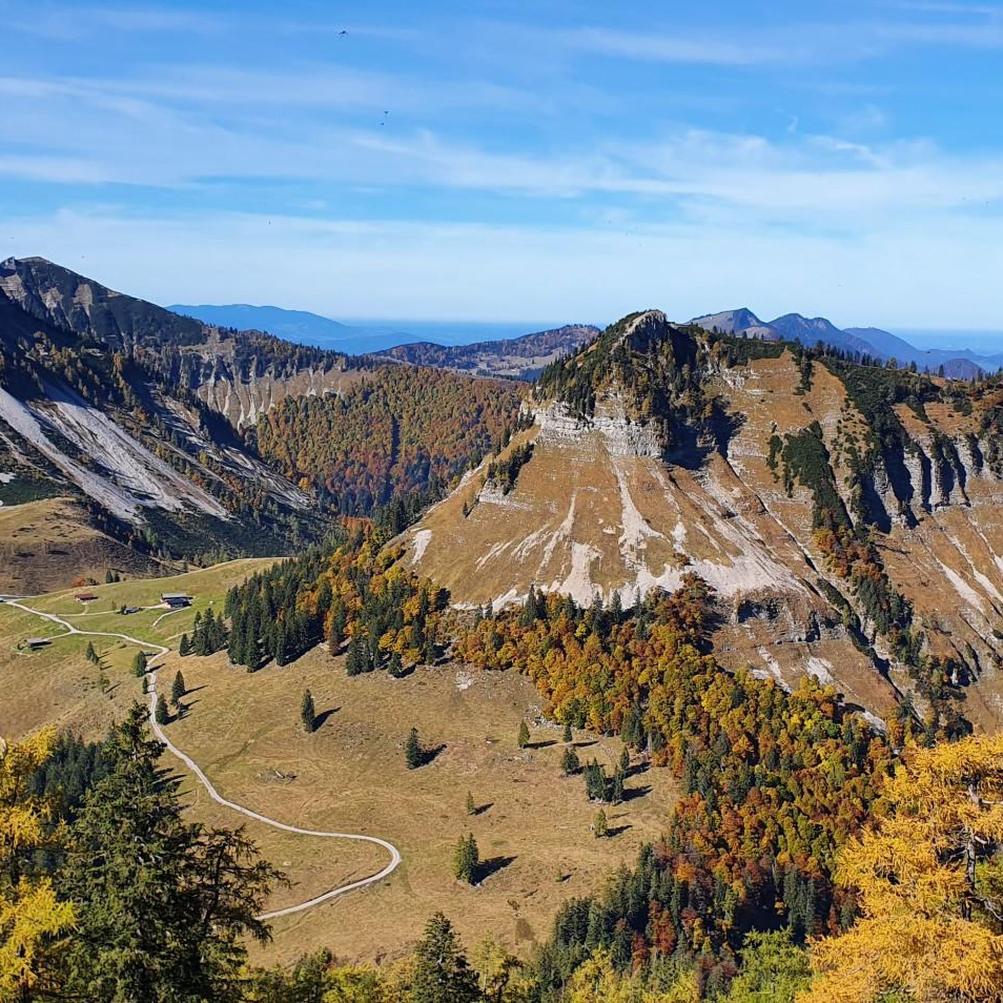
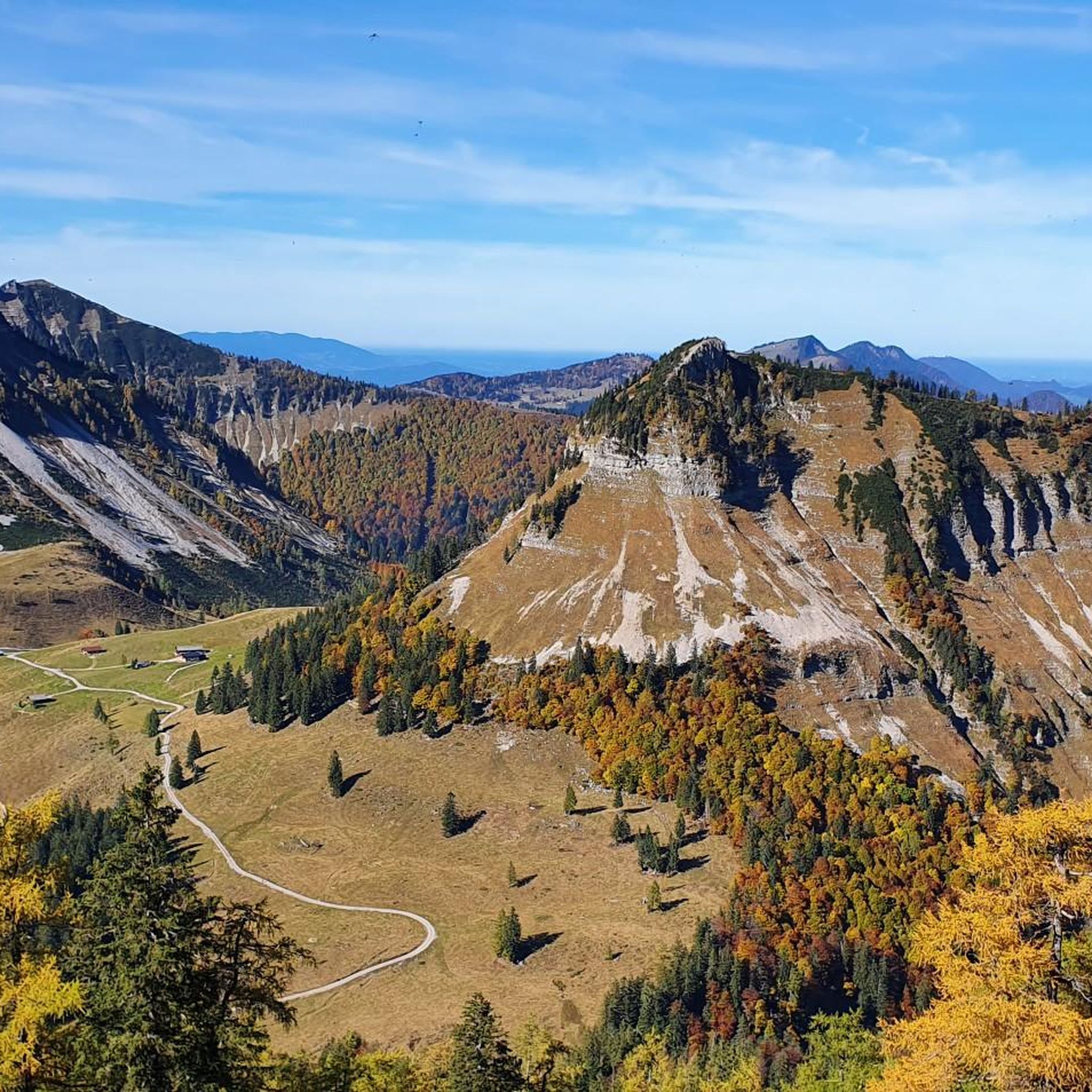
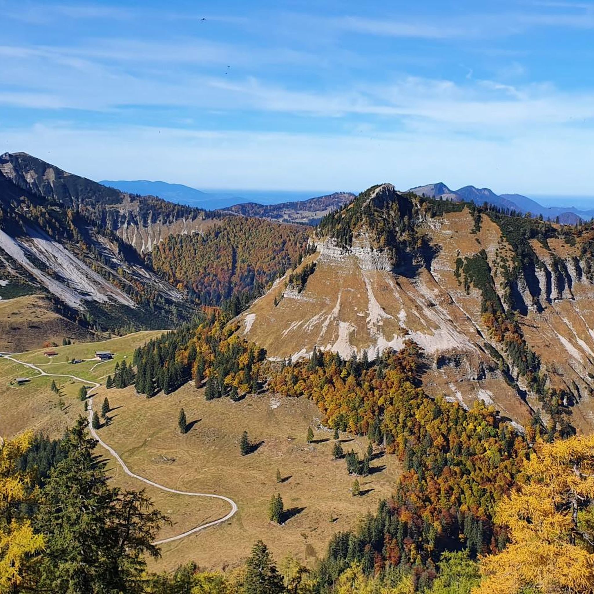
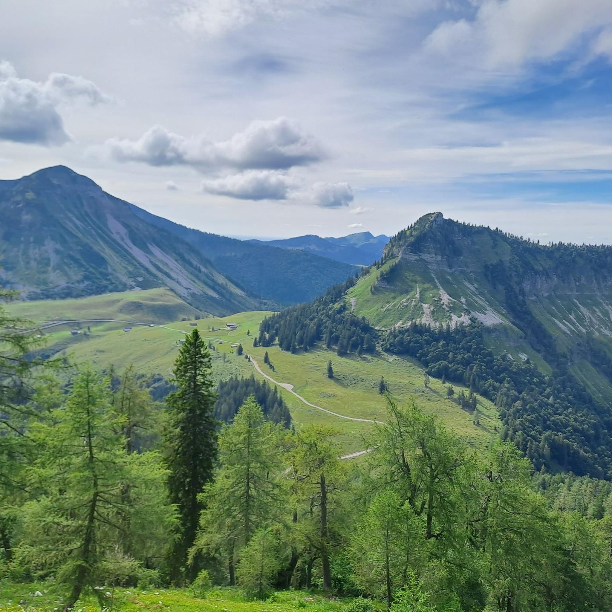
Road cycling in Hoher Zinken offers routes through varied alpine landscapes, characterized by forested areas, open terrain, and views of surrounding mountains. While the immediate Hoher Zinken area is known for hiking, the broader region provides scenic roads suitable for road cycling. Routes often feature significant elevation changes, traversing valleys and offering glimpses of distant peaks. The area includes access to some alpine pastures via roads, providing a mix of challenging ascents and picturesque scenery.
Best road cycling routes in…
Last updated: July 5, 2026
5.0
(1)
9
riders
15.4km
01:07
590m
590m
Moderate road ride. Good fitness required. Mostly well-paved surfaces and easy to ride.
4.5
(2)
42
riders
43.9km
02:21
850m
850m
Moderate road ride. Good fitness required. Some segments of this route may be unpaved and difficult to ride.

Sign up for free
36
riders
120km
06:00
1,890m
1,890m
Hard road ride. Very good fitness required. Mostly well-paved surfaces and easy to ride.
8
riders
142km
07:15
1,970m
1,970m
Hard road ride. Very good fitness required. Some segments of this route may be unpaved and difficult to ride.
4
riders
206km
10:17
2,740m
2,740m
Hard road ride. Very good fitness required. Some segments of this route may be unpaved and difficult to ride.
Get access to more routes and recommendations from other explorers.
Sign up for free
Already have an account?
Our route recommendations are based on thousands of hikes, rides, and runs completed by other people on komoot.
Start today with a free account
Your next adventure awaits.
Login or Signup

Tips from the Community

Beautiful view of the lake from the bike path
0
0
beautiful view of the lake from the bike path
0
0

Simply beautiful to bike here
0
0

Beautiful cycle path on the old railway line.
2
0

The Zilling Viaduct, also known as the Hallwang Viaduct, is an impressive structure on the West Autobahn in Hallwang. The bridge spans the valley and presents itself with great elegance. A striking symbol of the technology and drive of our transport system.
5
1

Wonderful view of Lake Irrsee and the mountains
0
0


Frequently Asked Questions
How many road cycling routes are available in Hoher Zinken?
There are 7 dedicated road cycling routes in the Hoher Zinken area, offering a range of experiences from moderate to difficult.
What kind of terrain can I expect on road cycling routes in Hoher Zinken?
Road cycling in Hoher Zinken features varied alpine landscapes, including forested sections, open terrain, and riverside roads. You'll encounter significant elevation changes, traversing valleys and offering glimpses of distant peaks. Some routes also provide access to alpine pastures via roads.
Are there routes suitable for beginners or less experienced road cyclists?
While the majority of routes in Hoher Zinken are rated as difficult, there are two moderate routes available. For example, the View of Dachstein Glacier – View of Lammertal loop from Voglau Loimann is a moderate 15.4 km trail with about 587 meters of elevation gain, offering a good option for those seeking a less strenuous ride.
What are some challenging road cycling routes in the area?
For experienced road cyclists seeking a challenge, Hoher Zinken offers several difficult routes. The Lammer Riverside Road – Enns Cycle Path near Radstadt loop from Waldhof is a demanding 119.7 km trail with nearly 1900 meters of elevation gain. Another significant challenge is the Postalm Panorama Road – View of Drachenwand loop from Waldhof, spanning over 142 km with almost 2000 meters of climbing.
Can I find routes with scenic viewpoints or natural features?
Yes, many routes offer scenic views. For instance, the View of Dachstein Glacier – View of Lammertal loop from Voglau Loimann provides views of the Dachstein Glacier and the Lammertal valley. The broader region is known for its picturesque alpine landscapes, including idyllic alpine pastures like the Genneralm and enchanting larch forests, particularly striking in autumn.
Are there any loop routes for road cycling?
Yes, all the featured road cycling routes in Hoher Zinken are designed as loops. Examples include the Lammer Riverside Road – View of Lindenthal loop from Voglau Wetzlhofweg, which follows the Lammer Riverside Road, and the extensive Fuschlsee – Fuschlsee Beach loop from Lasser, a difficult 204.7 km circuit.
What is the best time of year for road cycling in Hoher Zinken?
The best time for road cycling in Hoher Zinken is typically during the warmer months, from late spring to early autumn. This period offers more stable weather conditions and ensures that higher elevation roads are free of snow. Late autumn can be particularly scenic with the larch forests turning yellow.
Is parking available near the road cycling routes?
While specific parking details for each route are not provided, the region generally offers parking options in villages and at trailheads. Access to areas like the Genneralm is possible via a toll forest road, which can be used by bicycles, suggesting parking might be available at the start of such access roads.
How do other road cyclists rate the routes in Hoher Zinken?
The road cycling routes in Hoher Zinken are highly rated by the komoot community, with an average score of 4.1 stars from over 70 reviews. Over 2600 road cyclists have used komoot to explore the varied terrain, often praising the scenic alpine landscapes and challenging ascents.
Are there any amenities like cafes or accommodation along the routes?
The region around Hoher Zinken, particularly near alpine pastures like the Genneralm, features private alpine huts that offer refreshments. While specific cafes or accommodations directly on every route are not detailed, the broader SalzburgerLand region is well-equipped with amenities in its towns and villages, which many routes pass through or near.
Can I reach the road cycling routes using public transport?
Information on specific public transport links directly to the start points of these road cycling routes is not readily available. However, the broader SalzburgerLand region has a public transport network that connects various towns and villages, which may provide access points to the general area where these routes begin.
Are the road cycling routes in Hoher Zinken suitable for families?
Given that most road cycling routes in Hoher Zinken are rated as moderate to difficult with significant elevation changes, they are generally more suited for experienced road cyclists rather than families with young children or those seeking very easy, flat rides. The region's primary appeal for families might be more towards hiking or less demanding cycling paths in wider valleys.
Most popular routes in Hoher Zinken

Get inspired with the komoot mobile app


Explore more
Browse the best Road cycling routes in other regions.
