The best mountain hikes in Goff-, Langbachwald
4.6
(217)
3,624
hikers
53
hikes
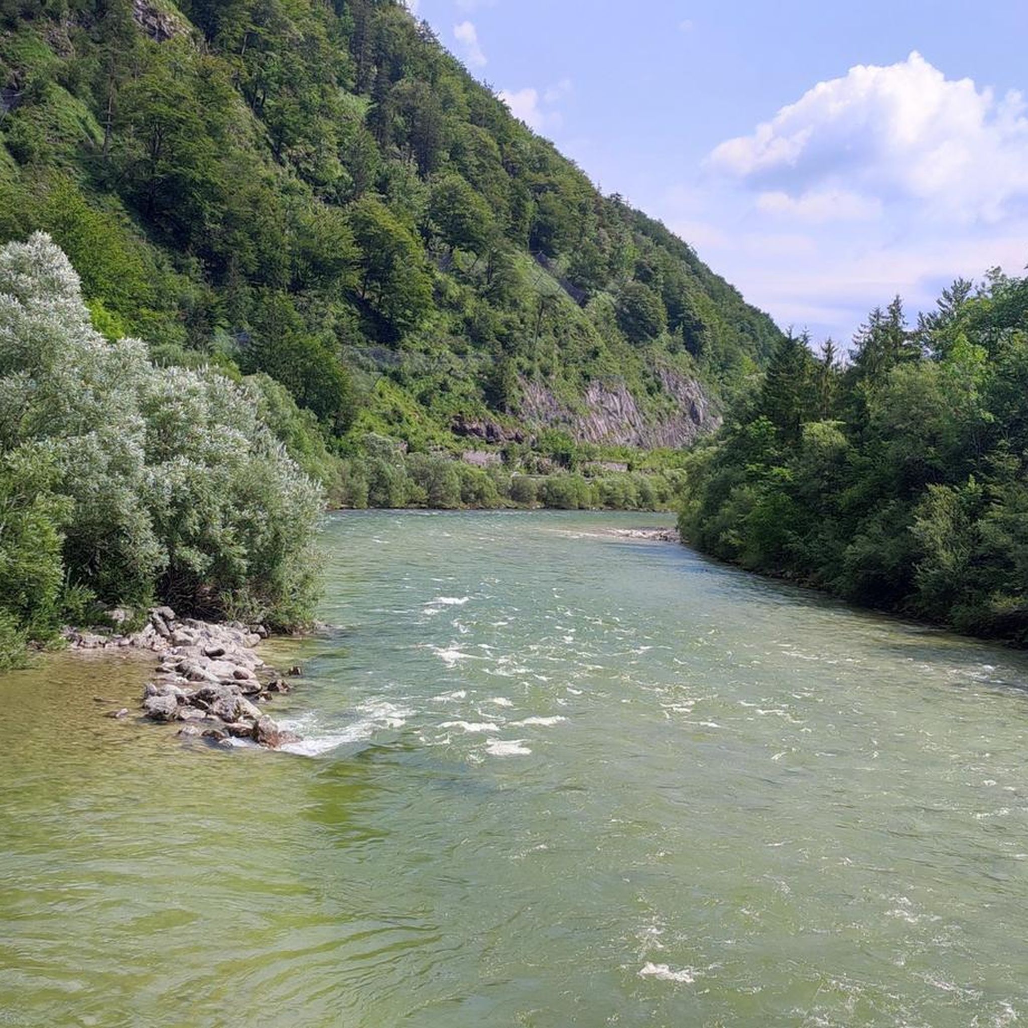
Mountaineering routes in Goff-, Langbachwald traverse a landscape characterized by significant alpine peaks, dense forested areas, and challenging rocky trails. The region features prominent summits such as Buttergupf (1,413 m) and Großer Höllkogel (1962 m), offering substantial elevation gains. These routes often lead through varied terrain, from wooded slopes to exposed mountain ridges.
Best mountaineering routes in Goff-, Langbachwald
- The most popular mountaineering route is Buttergupf (1,413 m) loop from Wambach, a 7.6 miles (12.2 km) trail that takes…
Last updated: July 1, 2026
4.0
(2)
26
hikers
12.2km
05:13
870m
870m
Hard mountaineering route. Very good fitness required. Mostly accessible paths. Sure-footedness required.
11
hikers
16.4km
08:04
1,210m
1,210m
Hard mountaineering route. Very good fitness required. Sure-footedness, sturdy shoes and alpine experience required.

Sign up for free
4.0
(1)
16
hikers
11.8km
06:08
1,080m
1,080m
Hard mountaineering route. Very good fitness required. Mostly accessible paths. Sure-footedness required.
4
hikers
11.9km
04:37
650m
650m
Moderate mountaineering route. Good fitness required. Mostly accessible paths. Sure-footedness required.
5
hikers
19.9km
08:13
1,240m
1,240m
Hard mountaineering route. Very good fitness required. Sure-footedness, sturdy shoes and alpine experience required.
Get access to more routes and recommendations from other explorers.
Sign up for free
Already have an account?
Our route recommendations are based on thousands of hikes, rides, and runs completed by other people on komoot.
Start today with a free account
Your next adventure awaits.
Login or Signup
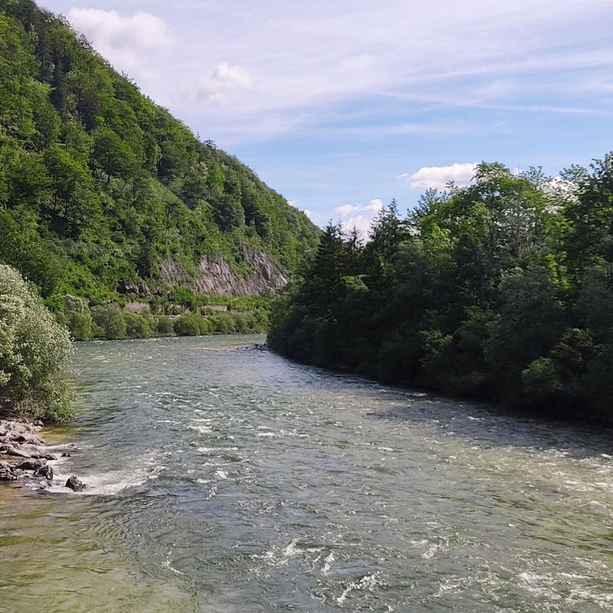
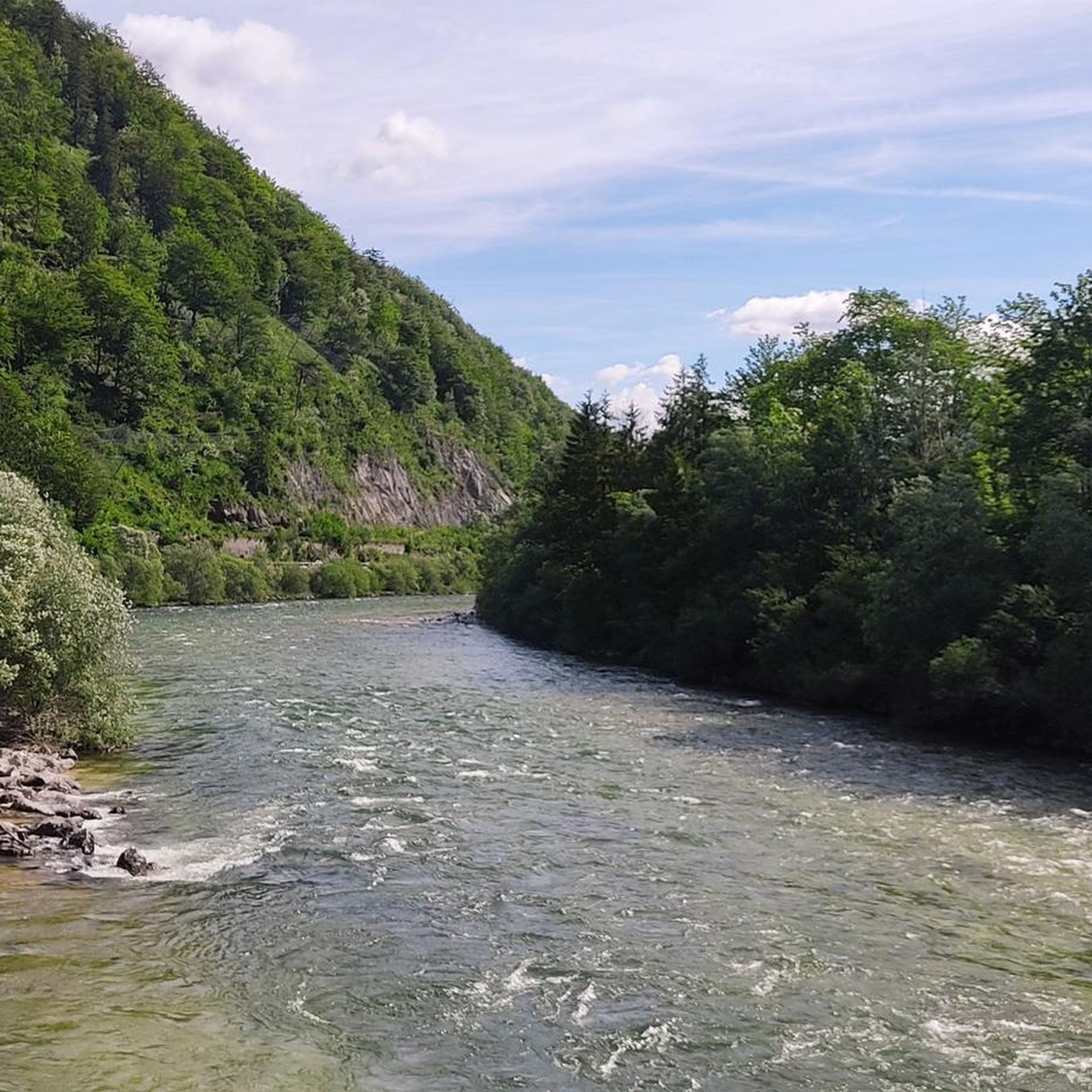
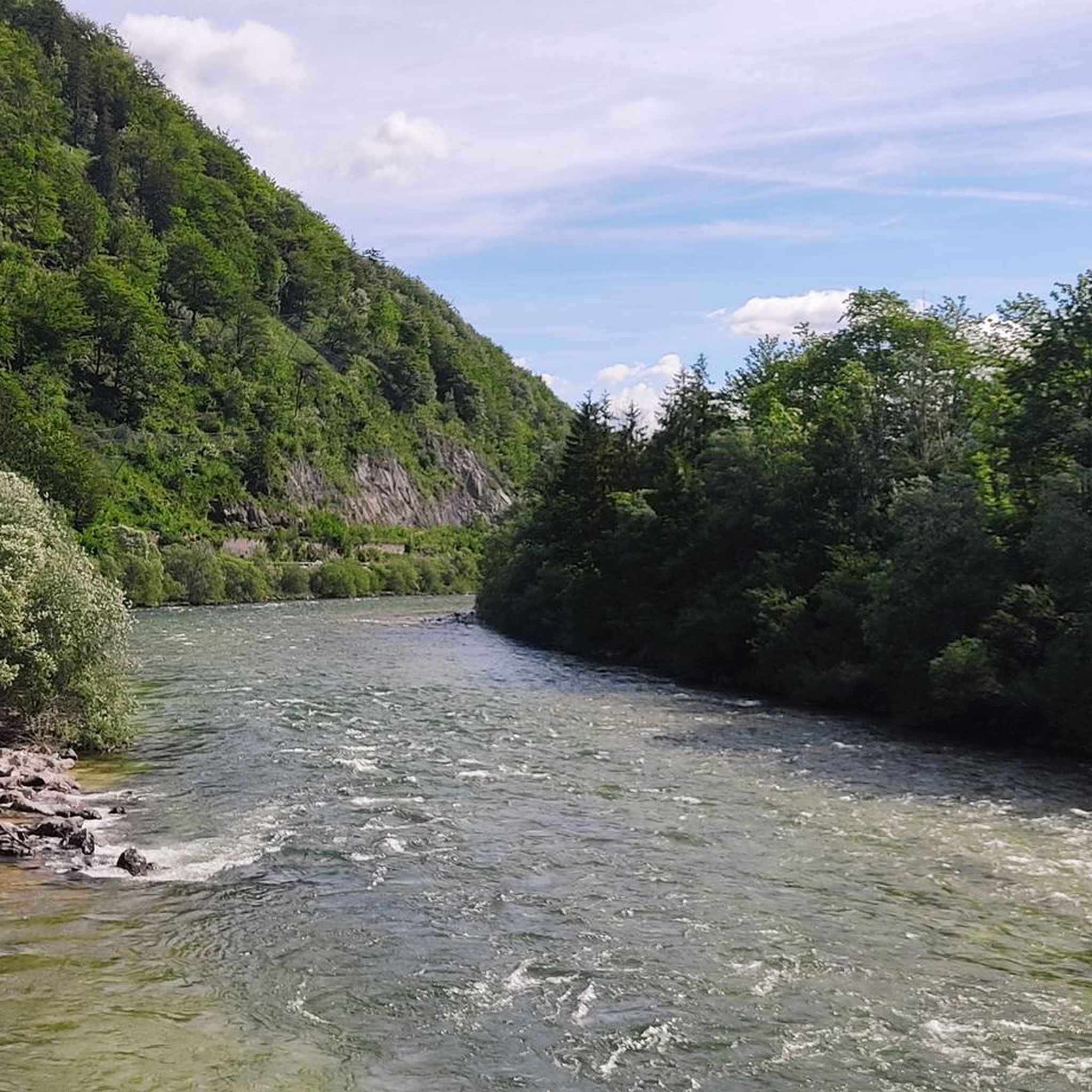
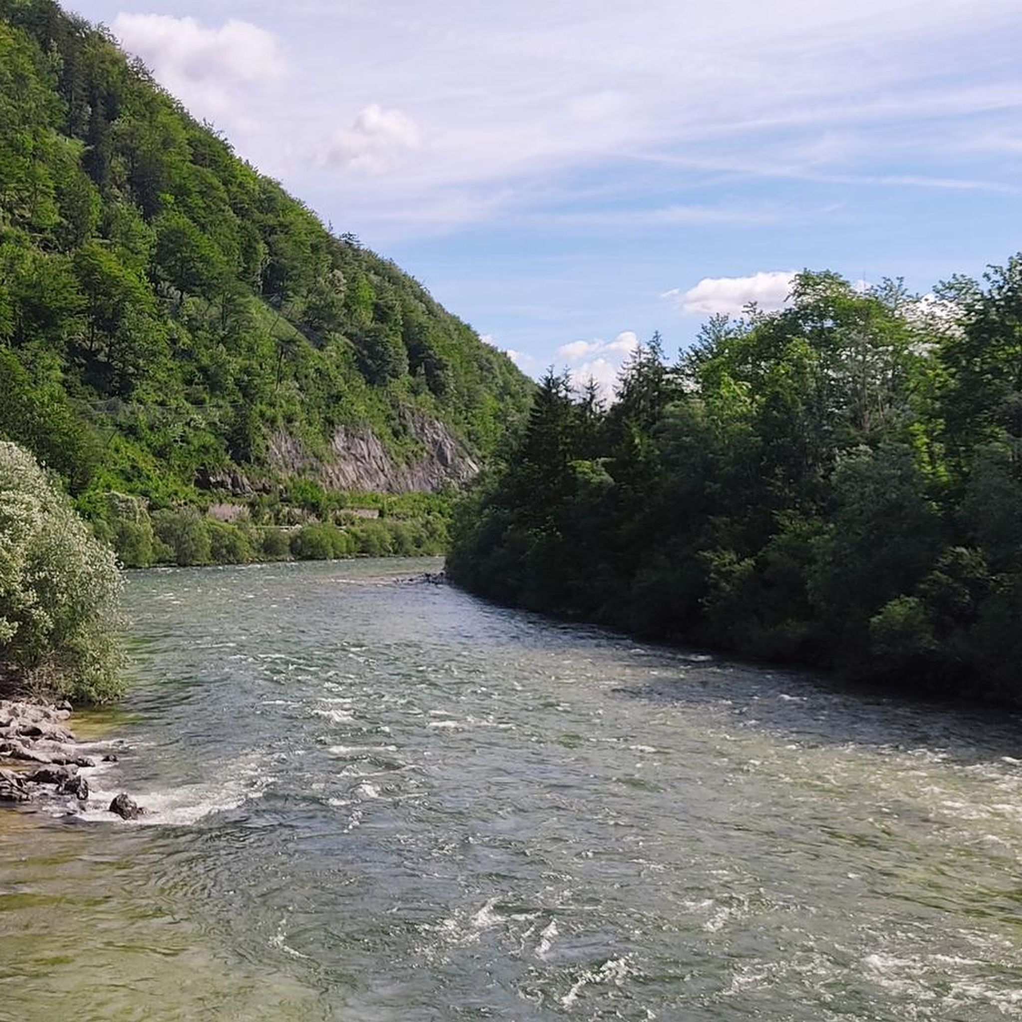
Tips from the Community

Rewarding, well-maintained, easy up-and-down path with a final view into the Trauntal valley
0
0

A small peak but worth a visit.
1
0

Very pleasant cabin: friendly people, good food, good breakfast, nice room, even with a sink and shower. 👌 I'd love to come back.
0
0


Nice hut near the mountain station
0
0

The Bledigupf 1622 m with a wonderful view of the Langbathseen and the Alberfeldkogel
4
0
The Feuerkogel is a 1592 m above sea level. A. high mountain west of Ebensee on the Traunsee in Upper Austria. It forms the eastern end of the Höllengebirge between Attersee and Traunsee and towers over the southern shore of Lake Traunsee.
4
0
Frequently Asked Questions
How many mountaineering routes are available in Goff-, Langbachwald?
There are over 50 mountaineering routes in Goff-, Langbachwald, catering to various skill levels. You'll find a good mix of moderate and difficult trails, with a few easier options as well.
What are the typical characteristics of mountaineering routes in Goff-, Langbachwald?
Mountaineering routes in Goff-, Langbachwald are known for their significant alpine peaks, dense forested areas, and challenging rocky trails. You can expect varied terrain, from wooded slopes to exposed mountain ridges, offering substantial elevation gains.
Are there any circular mountaineering routes in Goff-, Langbachwald?
Yes, many routes in Goff-, Langbachwald are designed as loops. For example, the Buttergupf (1,413 m) loop from Wambach is a popular difficult route, or consider the Sulzgrabenwald – Loskogel loop from Loskogel for a moderate challenge.
What kind of views can I expect on the mountaineering trails?
The region offers breathtaking alpine scenery. You'll encounter panoramic views of majestic peaks like Buttergupf and Großer Höllkogel, alongside lush forested valleys and potentially stunning natural features like gorges or high-alpine lakes, similar to those found in other renowned alpine regions.
What do other mountaineers say about the routes in Goff-, Langbachwald?
The routes in Goff-, Langbachwald are highly rated by the komoot community, with an average score of 4.6 stars from over 200 reviews. Mountaineers often praise the challenging terrain, the rewarding views from the summits, and the diverse landscapes encountered along the trails.
Are there any moderate mountaineering routes suitable for those looking for a less extreme challenge?
Absolutely. While many routes are difficult, there are 17 moderate options available. A good example is the Sulzgrabenwald – Loskogel loop from Loskogel, which offers a substantial experience without the extreme demands of the most difficult trails.
What are some of the higher peaks accessible via mountaineering routes in Goff-, Langbachwald?
The region features prominent summits such as Buttergupf (1,413 m) and Großer Höllkogel (1962 m). Routes like the Großer Höllkogel (1962 m) – Rocky Trail loop from Brandeck will take you to significant elevations, offering extensive alpine scenery.
Are there any specific routes that feature rocky sections?
Yes, many routes in Goff-, Langbachwald include rugged, rocky sections. The Rocky Trail – Giant Foxglove at Spitzalm loop from Bezirk Gmunden is a prime example, leading through varied terrain including distinct rocky paths.
What kind of natural attractions or points of interest can be found along the mountaineering routes?
Beyond the stunning mountain vistas, you might encounter natural features such as deep gorges, serene lakes, or impressive rock formations. The region's diverse landscape provides opportunities to experience the raw beauty of the alpine environment.
Is it possible to find longer, more challenging mountaineering expeditions in Goff-, Langbachwald?
For those seeking longer and more challenging expeditions, routes like the Helmeskogel – Bleidigupf (1622 m) loop from Salinen Austria AG offer nearly 20 km of difficult terrain and significant elevation gain, providing a full day's adventure.
What is the general difficulty level of mountaineering in Goff-, Langbachwald?
Mountaineering in Goff-, Langbachwald is generally considered challenging. While there are a few easy and moderate options, the majority of the 55 routes are rated as difficult, featuring substantial elevation changes and rugged terrain.
Most popular routes in Goff-, Langbachwald

Get inspired with the komoot mobile app


Explore more
Browse the best Mountain Hikes & Routes in other regions.
