The best walks and hikes in Goff-, Langbachwald
4.6
(4560)
32,890
hikers
342
hikes
Hiking in Goff-, Langbachwald offers a variety of trails through a forested landscape in Bezirk Gmunden. The region is characterized by accessible paths suitable for various fitness levels, ranging from easy walks to more challenging ascents. Natural features include lakes, creeks, and viewpoints offering vistas of surrounding peaks like the Dachstein. The terrain elevation difficulty Goff- und Langbachwald varies, providing options for both short, gentle loops and longer, more strenuous routes.
Best hiking trails in Goff-, Langbachwald
- The most popular hiking route is View of the Dachstein – Brunnkogel (1,508 m) loop from Wambach, a 8.3 miles (13.4 km) trail that takes 5 hours 41 minutes to complete. This difficult route features a significant ascent to Brunnkogel, offering panoramic views of the Dachstein.
- Another top favourite among local hikers is Hochmoos Lakes – View of Dachstein loop from Hasenaualm, a moderate 8.6 miles (13.9 km) path. This trail leads through alpine meadows to the Hochmoos Lakes, providing views of the Dachstein.
- Local hikers also love the Stone Staircase to the Creek – Hochmoos Lakes loop from Wambach, a 2.2 miles (3.6 km) trail leading through a forested area with a stone staircase, often completed in about 1 hour 7 minutes.
- Hiking in Goff-, Langbachwald is defined by dense woodlands, serene lakes, and elevated viewpoints. The network of Goff- und Langbachwald trails offers options for different ability levels, from easy family-friendly hikes to more demanding mountain paths.
- The routes in Goff-, Langbachwald are highly rated by the komoot community with an average score of 4.6 stars from over 4000 reviews. More than 32000 hikers have used komoot to explore Goff-, Langbachwald's varied terrain.
Last updated: July 1, 2026
3.0
(3)
39
hikers
13.4km
05:41
950m
950m
Hard hike. Very good fitness required. Mostly accessible paths. Sure-footedness required.
4.9
(7)
32
hikers
13.9km
04:29
610m
610m
Moderate hike. Good fitness required. Easily-accessible paths. Suitable for all skill levels.

Sign up for free
4.5
(2)
12
hikers
3.57km
01:07
140m
140m
Easy hike. Great for any fitness level. Easily-accessible paths. Suitable for all skill levels.
5.0
(1)
10
hikers
13.6km
07:05
1,220m
1,220m
Hard hike. Very good fitness required. Sure-footedness, sturdy shoes and alpine experience required.
5.0
(1)
10
hikers
11.5km
03:21
290m
290m
Moderate hike. Good fitness required. Easily-accessible paths. Suitable for all skill levels.
Get access to more routes and recommendations from other explorers.
Sign up for free
Already have an account?
Our route recommendations are based on thousands of hikes, rides, and runs completed by other people on komoot.
Start today with a free account
Your next adventure awaits.
Login or Signup

Tips from the Community


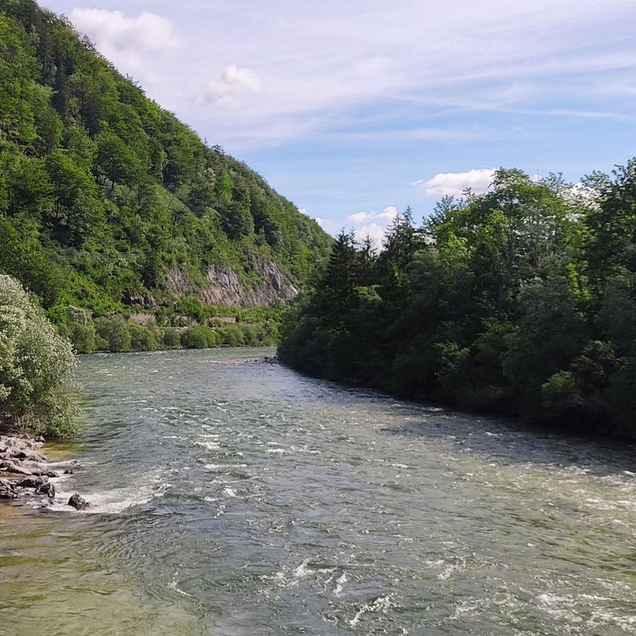
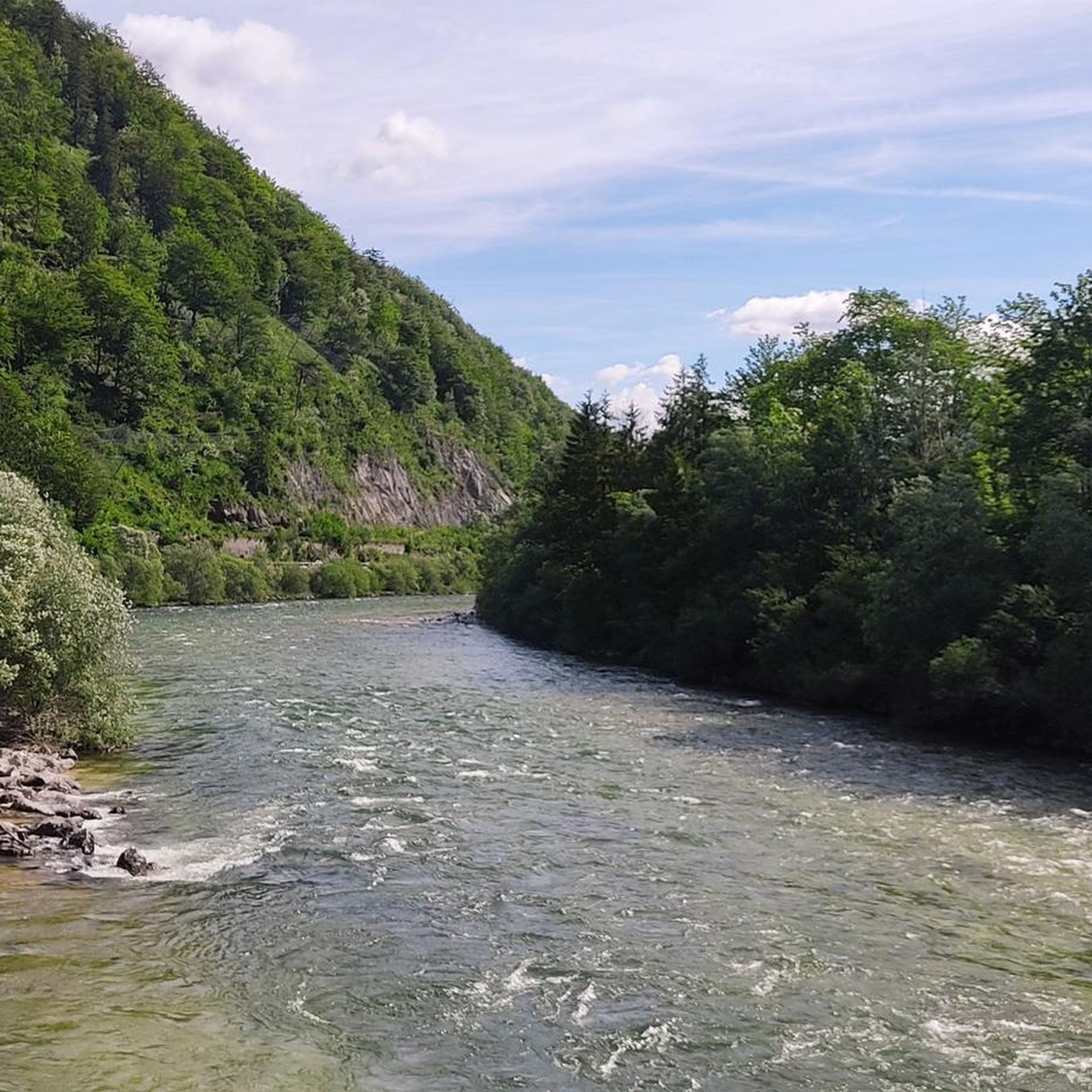
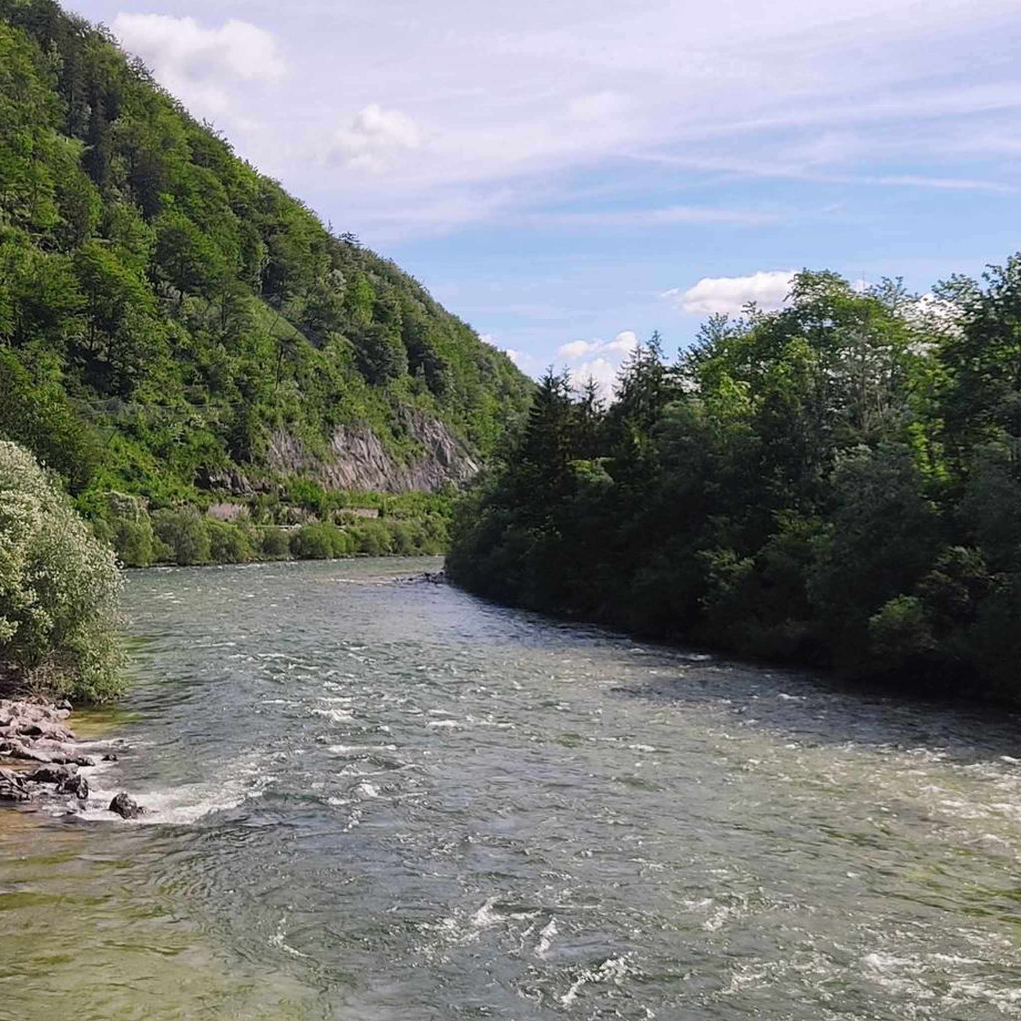
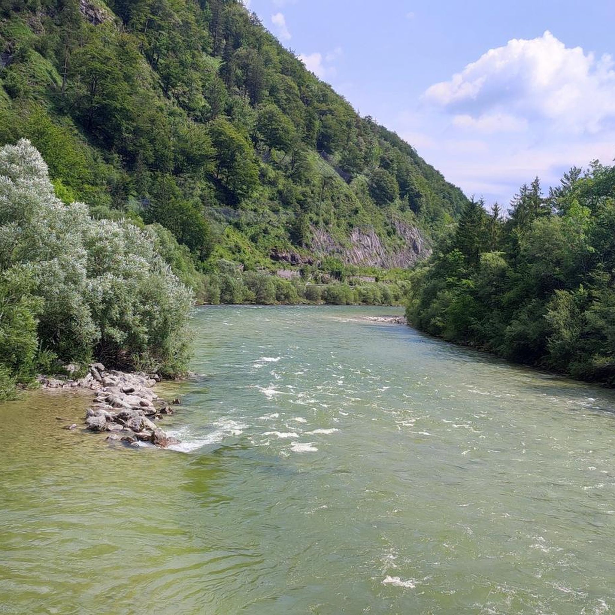
Here you have a view of the Mittenweißenbach.
4
0
A beautiful little waterfall at the confluence of the Höllbach and Dürre Pölitz streams. The water flows through several cascades and pools into the gorge.
4
0

Runs through the forest next to the main road with fine gravel, the path at the end is washed out, deep gravel requires more attention when driving.
0
0
This view is simply fantastic
4
0

Beautiful bike path through the forest along the valley road
2
0

The chapel is currently being restored.
3
0

Nice trail, you have to scramble a bit from time to time, but it is not exposed, so it can also be done in snow.
0
0
Frequently Asked Questions
How many hiking trails are available in Goff-, Langbachwald?
Goff-, Langbachwald offers a wide selection of hiking trails, with over 340 routes available. These range from easy walks to more challenging ascents, catering to various fitness levels and preferences.
What kind of terrain can I expect on the trails in Goff-, Langbachwald?
The terrain in Goff-, Langbachwald is diverse, featuring dense woodlands, serene lakes, and elevated viewpoints. Paths are generally easy to navigate, with options for both gentle loops and more strenuous mountain paths. You'll find accessible trails suitable for various skill levels.
Are there any easy, family-friendly hikes in Goff-, Langbachwald?
Yes, Goff-, Langbachwald is well-suited for families, offering many easy and accessible trails. A great option is the Stone Staircase to the Creek – Hochmoos Lakes loop from Wambach, which is an easy 3.6 km trail through a forested area, typically completed in just over an hour.
Are dogs allowed on the hiking trails in Goff-, Langbachwald?
Yes, many trails in Goff-, Langbachwald are dog-friendly. It's generally recommended to keep dogs on a leash, especially in areas with wildlife or near other hikers. Always ensure your dog is well-behaved and that you clean up after them.
What natural features can I discover along the hiking routes?
Goff-, Langbachwald's trails lead through a rich natural environment. You can expect to encounter serene lakes, picturesque creeks, and dense woodlands. Some routes also offer views of surrounding peaks like the Dachstein, and features like the Höllbachfall waterfall can be explored on routes such as the Höllbachfall – Weißenbach Valley Cycle Path loop from Hasenaualm.
Are there any circular hiking routes in Goff-, Langbachwald?
Yes, many of the trails in Goff-, Langbachwald are circular, allowing you to start and end at the same point. Examples include the challenging View of the Dachstein – Brunnkogel (1,508 m) loop from Wambach and the moderate Hochmoos Lakes – View of Dachstein loop from Hasenaualm.
What do other hikers say about the trails in Goff-, Langbachwald?
The hiking experience in Goff-, Langbachwald is highly regarded by the komoot community, with an average rating of 4.6 stars from over 4,300 reviews. Hikers often praise the diverse terrain, the accessibility of the paths, and the beautiful natural features like lakes and viewpoints.
What is the best time of year to go hiking in Goff-, Langbachwald?
Goff-, Langbachwald is an appealing destination for outdoor activities throughout much of the year. While specific seasonal considerations can vary, the generally accessible paths make it suitable for hiking from spring through autumn. Always check local weather conditions before heading out.
Are there any trails with significant elevation gain for more experienced hikers?
Yes, for experienced hikers seeking a challenge, Goff-, Langbachwald offers routes with significant elevation gain. The View of the Dachstein – Brunnkogel (1,508 m) loop from Wambach is a difficult trail with over 950 meters of ascent, offering panoramic views. Another demanding option is the Path to Petergupf – Petergupf Summit Cross loop from Bahnhof Langwies, featuring over 1200 meters of elevation gain.
How long do hikes in Goff-, Langbachwald typically take?
Hikes in Goff-, Langbachwald vary greatly in duration. Easy trails, often suitable for families, can be completed in around one to two hours. More moderate routes might take 3-5 hours, while difficult trails with significant elevation can extend to 5-7 hours or more, depending on your pace and the specific route.
Is public transport available to access the hiking areas?
While the guide focuses on the trails themselves, some starting points for hikes in the broader region, such as Bahnhof Langwies, suggest public transport access might be available. It's advisable to check local public transport schedules for specific routes and access points to Goff-, Langbachwald.
Are there parking facilities near the trailheads?
Many popular hiking areas in regions like Goff-, Langbachwald typically offer designated parking facilities near trailheads. For specific parking information, it's recommended to check details for individual routes or consult local tourism resources for the Wambach or Hasenaualm areas, which are common starting points.
Most popular routes in Goff-, Langbachwald

Get inspired with the komoot mobile app


Explore more
Browse the best Hikes in other regions.
