The best walks and hikes around Gompertshausen
4.6
(1781)
6,311
hikers
303
hikes
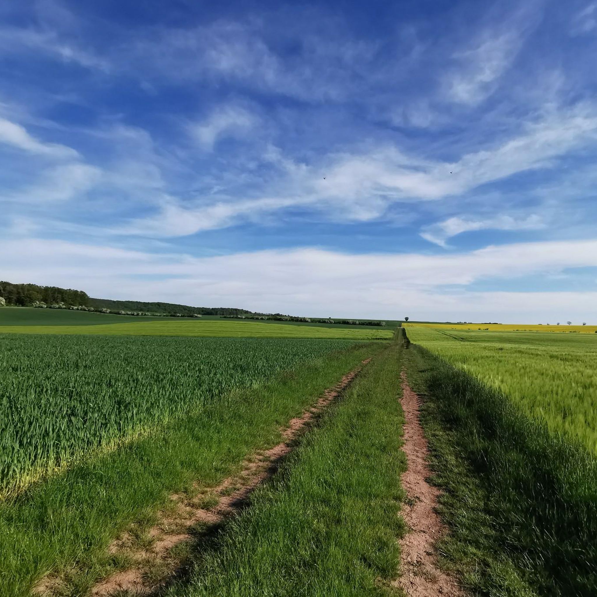
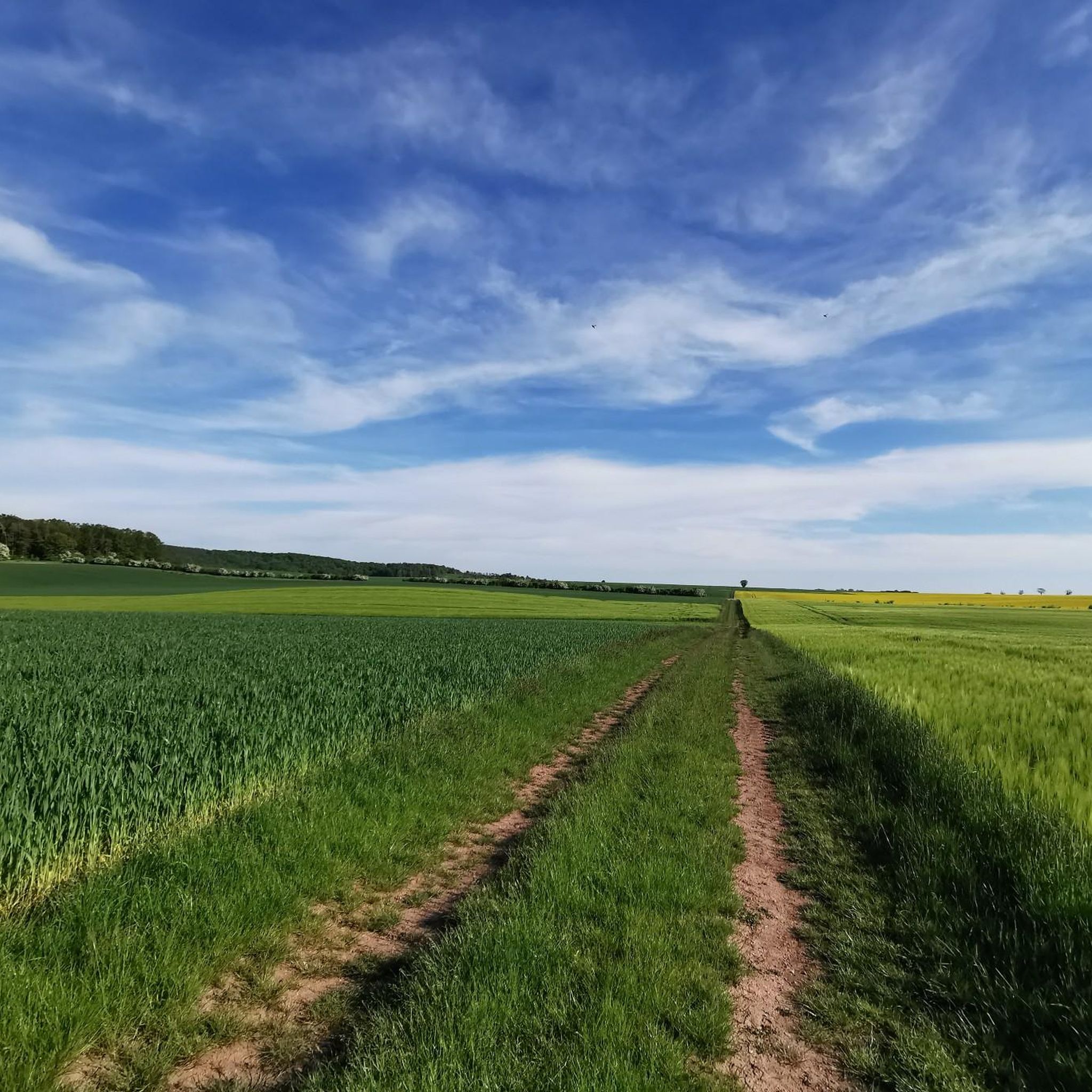
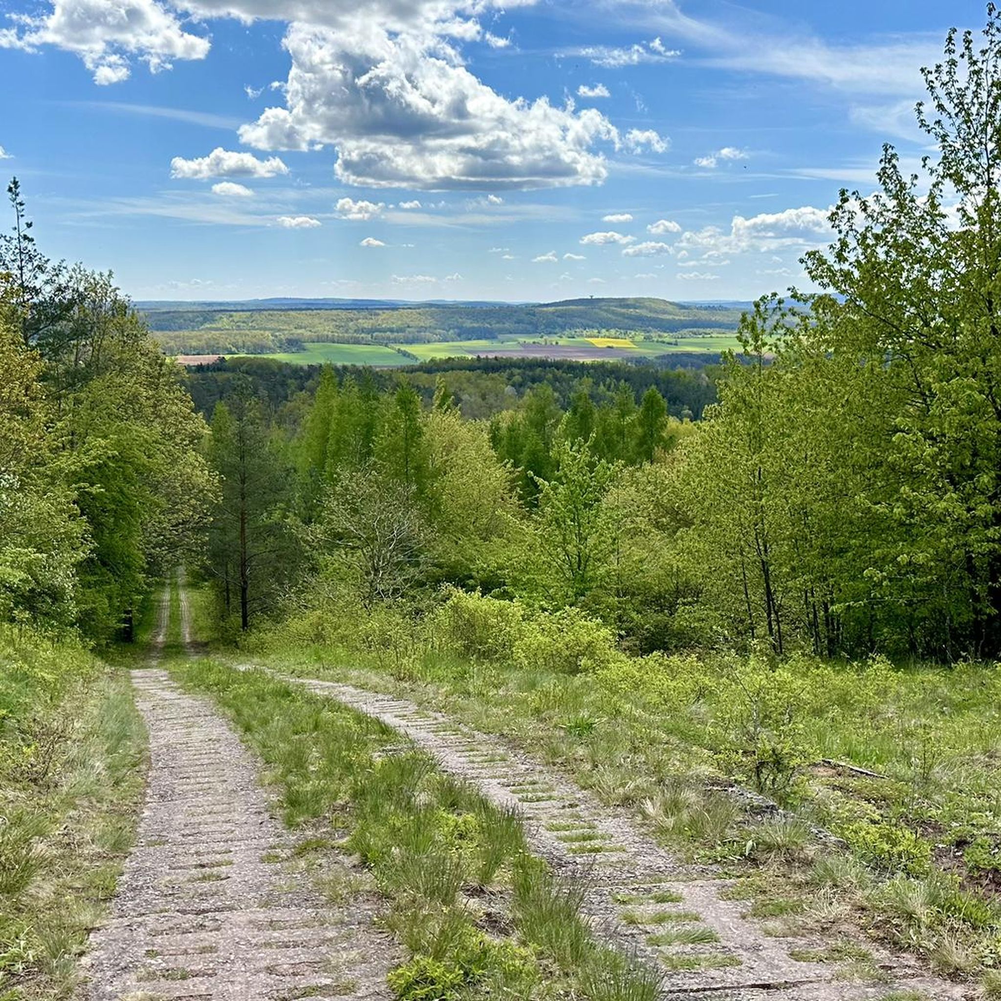
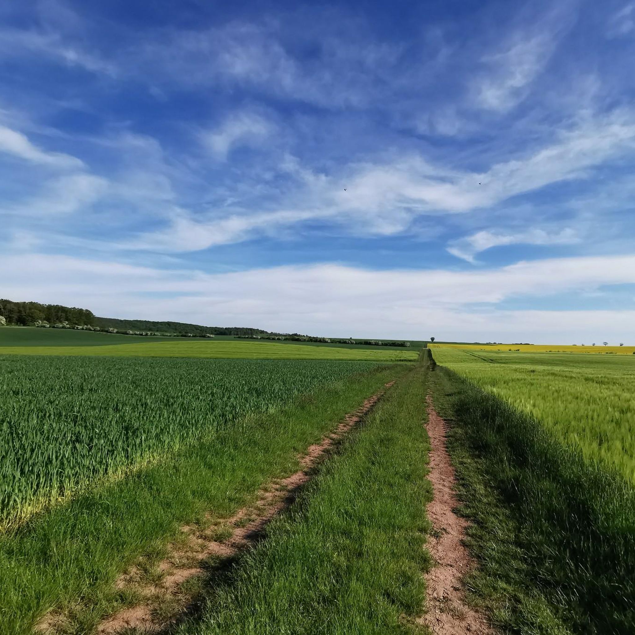
Hiking around Gompertshausen offers diverse landscapes within the Heldburger Land region of Thuringia, Germany. The area features extensive forests and varied natural scenery, including mixed mountain forests and rolling hills. Hikers can explore a network of trails that traverse tranquil woodland environments and open fields. The topography provides varied terrain suitable for different hiking preferences.
Best hiking trails around Gompertshausen
- The most popular hiking route is Leitenhausen Historical Site – View from Spanshügel loop from Gompertshausen, a 6.3 miles…
Last updated: May 14, 2026
5.0
(2)
9
hikers
Moderate hike. Good fitness required. Easily-accessible paths. Suitable for all skill levels.
5.0
(2)
8
hikers
6.56km
01:52
150m
150m
Easy hike. Great for any fitness level. Easily-accessible paths. Suitable for all skill levels.

Sign up for free
4.3
(4)
8
hikers
Moderate hike. Good fitness required. Easily-accessible paths. Suitable for all skill levels.
5.0
(3)
4
hikers
7.40km
01:57
70m
70m
Easy hike. Great for any fitness level. Easily-accessible paths. Suitable for all skill levels.
4.0
(1)
6
hikers
Moderate hike. Great for any fitness level. Mostly accessible paths. Sure-footedness required.
Get access to more routes and recommendations from other explorers.
Sign up for free
Already have an account?
Our route recommendations are based on thousands of hikes, rides, and runs completed by other people on komoot.
Start today with a free account
Your next adventure awaits.
Login or Signup
Tips from the Community

Of the 1400km of inner-German border, unfortunately only a few places like this remain! How do you want to teach children history when you destroy everything! Much more of it should have been preserved, in the common capital, investment was rather made in buildings. As a child, I remember this threatening border and I just find it sad what's left of it. This way, it's hard for me to convey history to my little pirate daughter. You have to touch, see, and understand things on site. If there's a flashy building there today, what do I want to tell my pirate daughter with that?
0
0
Of the 1400km of the inner-German border, unfortunately only a few places like this remain! How do you want to teach children history if you destroy everything! Much more of it should have been left standing, but in the united capital, investment was rather made in buildings. I remember this threatening border as a child and I find it simply sad what is left of it. This way, it's hard to convey history to my little adventurous daughter. You have to touch, see and understand on site. If a pompous building stands there today, what do I want to tell my adventurous daughter with that?
0
0

The Bayernturm is the highlight of the area with a great view.
0
0
The Bayernturm tower, with its view, is an absolute highlight.
1
0
Historic paths with reminders of the division of Germany
0
0
There are beautiful hiking trails here that also commemorate the former border.
0
0
An interesting relic from bygone times
0
0

The two sides of this shrine – which strikes the passing cyclist in unexpected splendor – depict the following motifs: + The Blessed Virgin Mary, presented to the viewer as Queen of Heaven. At the top of the image is the dove of the Holy Spirit, then God the Father and God the Son holding the crown, with Mary kneeling between them. + Saint Ursula, holding a bundle of arrows as a symbol of martyrdom, and several of her companions depicted in a significantly smaller size. Although Ursula is not a Rhenish saint, but – according to legend – a royal daughter from Britain, she is venerated primarily in Cologne, where she and her companions were martyred and buried.
1
0
Frequently Asked Questions
How many hiking trails are available around Gompertshausen?
There are over 300 hiking routes around Gompertshausen, offering a wide range of options for different preferences and fitness levels. These include 145 easy routes, 158 moderate routes, and 7 more challenging trails.
Are there family-friendly hiking options in Gompertshausen?
Yes, Gompertshausen offers many family-friendly hiking options. With 145 easy routes, you'll find plenty of paths suitable for all ages. These trails often feature gentle gradients through rural settings, allowing families to enjoy nature together. For example, the Leitenhausen Memorial Site – View from Spanshügel loop from Schlechtsart is an easy 6.6 km path that is popular with local hikers.
Can I bring my dog on the hiking trails in Gompertshausen?
Generally, dogs are welcome on hiking trails in the Gompertshausen region. The extensive forests and open landscapes provide a great environment for walks with your canine companion. However, it's always advisable to keep dogs on a leash, especially near wildlife, livestock, or in designated nature protection areas, and to clean up after them. Specific rules might apply in certain areas, so look out for local signage.
Are there circular hiking routes available in the Gompertshausen area?
Yes, many of the hiking routes around Gompertshausen are designed as circular trails, allowing you to start and end at the same point. Popular options include the Leitenhausen Historical Site – View from Spanshügel loop from Gompertshausen and the Trappschter Weg – German Unity Memorial Cross loop from Gompertshausen.
What kind of terrain can I expect on hikes around Gompertshausen?
The terrain around Gompertshausen is diverse, characterized by extensive forests, rolling hills, and open fields. You can expect a mix of woodland paths, agricultural tracks, and some paved sections. The region is part of the Heldburger Land, known for its varied natural landscapes and mixed mountain forests, offering both gentle gradients and some moderate ascents.
Where can I park when starting a hike in Gompertshausen?
While specific parking information for every trailhead isn't always available, Gompertshausen and nearby villages typically offer public parking options. Look for designated parking areas near village centers, churches, or popular trailheads. It's often possible to find roadside parking in less populated areas, but always ensure you're not obstructing traffic or private access.
Is it possible to reach hiking trails in Gompertshausen using public transport?
Public transport access to the more remote trailheads around Gompertshausen can be limited. While there are bus services connecting Gompertshausen to larger towns in the Hildburghausen district, direct access to specific hiking starting points might require some planning. We recommend checking local bus schedules in advance if you plan to rely on public transport for your hike.
What interesting sights or landmarks can I explore near the hiking trails?
The region around Gompertshausen is rich in natural beauty and historical sites. You can explore various lakes such as Cow Lake or Reuthsee. Historical highlights include Brennhausen Castle and the Straufhain Castle Ruins. The wider area also features Heldburg Fortress, which houses the German Castle Museum, and charming towns like Bad Rodach with its historic market square.
What do other hikers say about the trails in Gompertshausen?
The hiking trails around Gompertshausen are highly rated by the komoot community, with an average score of 4.6 stars from over 2,000 reviews. Hikers often praise the tranquil woodland environments, the varied natural scenery, and the well-maintained paths that make for enjoyable outdoor experiences. Over 7,000 hikers have used komoot to explore this region.
When is the best time of year to go hiking in Gompertshausen?
Gompertshausen offers enjoyable hiking experiences throughout much of the year. Spring brings blooming wildflowers and fresh greenery, while autumn showcases vibrant fall foliage in the extensive forests. Summer is ideal for longer days and warmer weather. Even in winter, some trails can be suitable for a crisp walk, though conditions may vary and require appropriate gear.
Are there any easy hikes suitable for beginners or a relaxed stroll?
Absolutely. With 145 easy routes, Gompertshausen is perfect for beginners or those seeking a relaxed stroll. These trails typically have minimal elevation gain and well-maintained surfaces. An example is the Trappschter Weg – German Unity Memorial Cross loop from Gompertshausen, which is an easy 7.6 km hike.
Can I find longer, more challenging hikes around Gompertshausen?
While the majority of routes are easy to moderate, Gompertshausen does offer some longer and more challenging hikes. There are 7 routes classified as difficult, and many moderate routes cover distances up to 10 km or more with some elevation changes. These trails often delve deeper into the mixed mountain forests and provide more sustained physical activity.
Are there any viewpoints along the hiking trails in Gompertshausen?
Yes, several trails offer rewarding viewpoints over the surrounding landscape. The region's rolling hills and varied topography provide natural vantage points. For instance, the Leitenhausen Historical Site – View from Spanshügel loop from Gompertshausen is known for its views. Keep an eye out for highlights like Hoher Stein, which can offer scenic vistas.
Most popular routes around Gompertshausen
Most popular attractions around Gompertshausen

Get inspired with the komoot mobile app


Explore more
Browse the best Hikes in other regions.
