The best walks and hikes in Baičių Miškas
4.0
(3)
34
hikers
2
hikes
Hiking in Baičių Miškas offers a network of trails primarily characterized by dense woodlands and gentle, undulating terrain. The region features low elevation changes, making it accessible for various activity levels. Trails often follow forest roads and paths, occasionally offering views of local waterways like the King Wilhelm Channel.
Best hiking trails in Baičių Miškas
- The most popular hiking route is Wooden Bridge on Forest Road loop from Žiaukos, a 4.3 miles (6.8 km) trail that takes 1 hour…
Last updated: June 26, 2026
4.0
(1)
3
hikers
6.84km
01:45
30m
30m
Easy hike. Great for any fitness level. Easily-accessible paths. Suitable for all skill levels.
3
hikers
11.2km
02:51
40m
40m
Moderate hike. Good fitness required. Easily-accessible paths. Suitable for all skill levels.

Sign up for free
4.0
(2)
28
hikers
7.04km
01:46
10m
10m
Easy hike. Great for any fitness level. Easily-accessible paths. Suitable for all skill levels.
Our route recommendations are based on thousands of hikes, rides, and runs completed by other people on komoot.
Start today with a free account
Your next adventure awaits.
Login or Signup
Tips from the Community

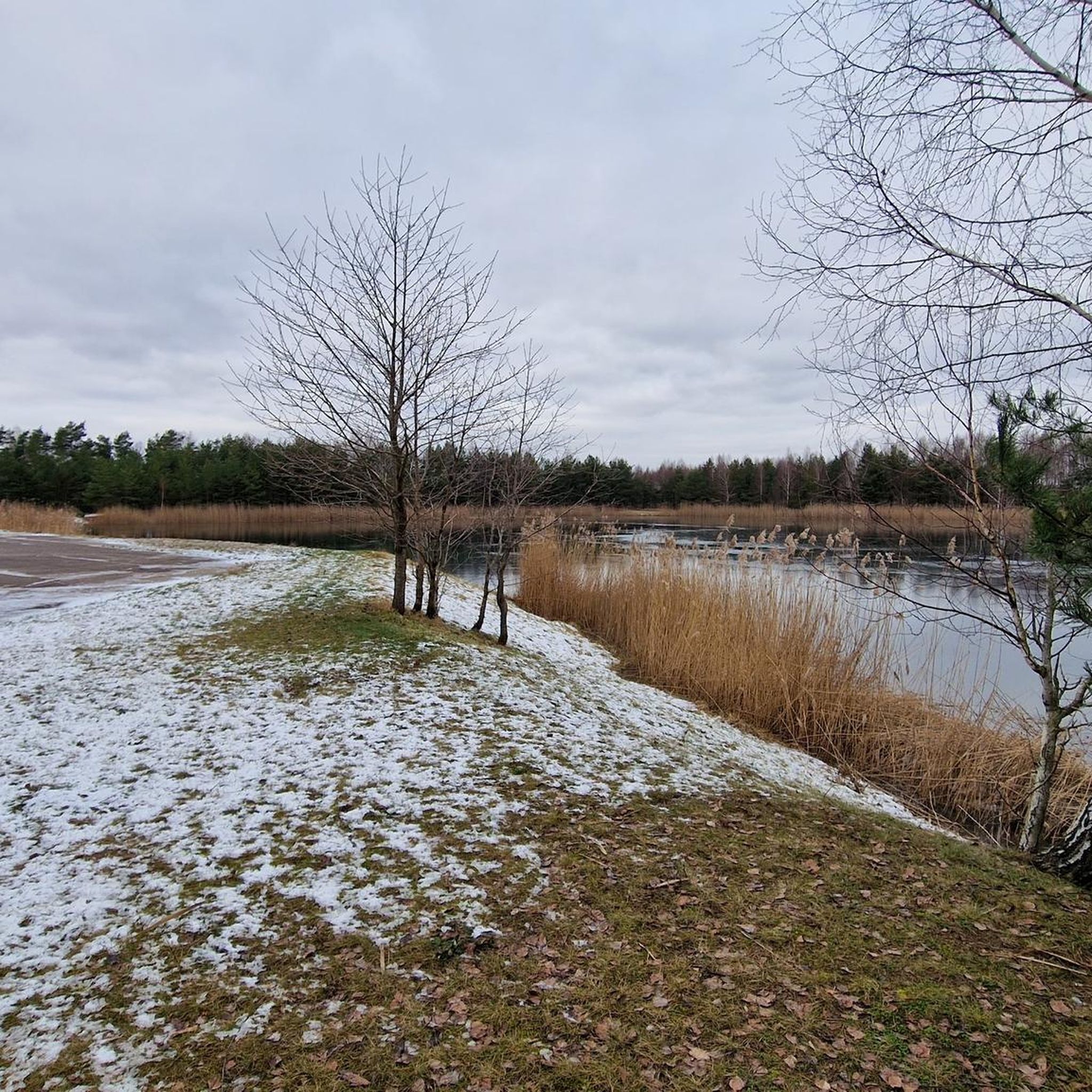
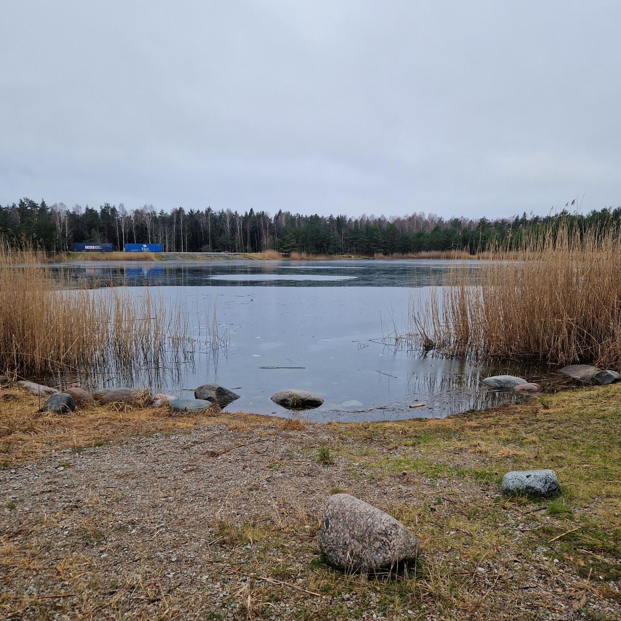
The channel starts along Lankupiai, where it branches from Minija river, then flows north-east through Dreverna, finally reaching Klaipėda, where it connects to Malkų Bay along the Container Terminal and Western Shipyard. There is a hydrogeological reserve. The construction of the channel was planned for 1858 and was supposed to connect Minija and the Curonian Lagoon along Dreverna, and then be extended to Smeltė village in 1860. It was named after the Prussian King Wilhelm I, who reigned at that time. The channel is 25-27 km long and 28-30 m wide, with the average depth of 1.7 m. The purpose of this construction was to protect the ships and rafts from dangerous storms of the Curonian Lagoon. In the 19th c., the channel was actively used for transporting wood. In the case of storms, it was also used by vessels, carrying various goods. In 1902-1904, the King Wilhelm Channel was crossed by 10 light-weight metal bridges, tops of which used to be equipped with about one metre wide openings for masts and steamboat chimneys. In the Soviet era, the channel in Klaipėda was dammed and turned into a water reservoir. Currently (2018), the water of the channel is used by the 3rd water supply system of Klaipėda.
0
0

The Tire walking trail runs within the boundaries of the quarter, so far only the trails named after foresters and naturalists. Travel leisurely, listen to the forest, pay attention to ecosystem differences, enjoy the sounds and smells of nature. The pure walking trail is designed for walking and is suitable for the whole family. Its length to the observation tower and back is 6 km. The route of the pure walking trail is not difficult, but the one passing through the forest and meadow can be naturally wet and slippery, so be prepared for hiking shoes and walk carefully.
0
0
Frequently Asked Questions
What kind of terrain can I expect when hiking in Baičių Miškas?
Hiking in Baičių Miškas primarily features dense woodlands and gentle, undulating terrain. The region has low elevation changes, making most trails accessible. You'll often find yourself on forest roads and paths, with occasional views of local waterways like the King Wilhelm Channel.
Are there easy hiking trails suitable for beginners or families in Baičių Miškas?
Yes, Baičių Miškas offers several easy trails perfect for beginners and families. For instance, the Wooden Bridge on Forest Road loop from Žiaukos is an easy 4.3-mile (6.8 km) loop through forested areas with minimal elevation gain. Another great option is the Large Maple Tree – View of King Wilhelm Channel loop from Pjauliai, which is 4.4 miles (7.0 km) and also considered easy.
Are dogs allowed on the hiking trails in Baičių Miškas?
Generally, dogs are welcome on trails in Baičių Miškas, especially given the forested nature of the area. However, it's always recommended to keep your dog on a leash, particularly in areas where wildlife might be present or near agricultural land, and to clean up after them.
What is the best time of year to go hiking in Baičių Miškas?
Baičių Miškas is enjoyable throughout much of the year. Spring and autumn offer pleasant temperatures and beautiful foliage, while summer provides lush greenery. Even in winter, the low elevation changes and sheltered forest paths can make for peaceful walks, though appropriate gear for potentially muddy or icy conditions is advised.
Are there any circular hiking routes in Baičių Miškas?
Yes, many of the trails in Baičių Miškas are designed as loops, offering convenient circular routes. Examples include the popular Wooden Bridge on Forest Road loop from Žiaukos and the more moderate Hiking loop from Gargždai.
What are some notable natural features or viewpoints along the trails?
The trails in Baičių Miškas are characterized by dense woodlands. While dramatic viewpoints are not common due to the low elevation, some routes, such as the Large Maple Tree – View of King Wilhelm Channel loop from Pjauliai, offer glimpses of local waterways like the King Wilhelm Channel, providing a change of scenery amidst the forest.
What do other hikers say about their experience in Baičių Miškas?
The hiking routes in Baičių Miškas are highly rated by the komoot community, with an average score of 4.0 stars. Hikers often praise the quiet, accessible forest paths and the gentle nature of the trails, making it a relaxing destination for outdoor activity.
Are there any challenging hikes for experienced hikers in Baičių Miškas?
Baičių Miškas is known for its gentle terrain and low elevation changes, so truly challenging hikes with significant ascents are not typical here. However, for a longer, more moderate experience, the Hiking loop from Gargždai offers a 6.9-mile (11.2 km) path through varied terrain, providing a good workout without extreme difficulty.
How many hiking trails are available in Baičių Miškas?
There are several hiking trails available in Baičių Miškas, offering a range of options for different abilities. Currently, you can explore at least three distinct routes, including easy loops and a moderate-length trail.
What should I wear for hiking in Baičių Miškas?
Given the forested and often gentle terrain, comfortable walking shoes or light hiking boots are usually sufficient. Dress in layers to adapt to changing weather, and consider waterproof outerwear, especially during wetter seasons, as paths can become muddy. Insect repellent is also advisable during warmer months.
Is there public transport access to the Baičių Miškas trails?
While specific public transport routes directly to trailheads within Baičių Miškas may be limited, you can often find bus connections to nearby towns such as Žiaukos, Gargždai, or Pjauliai. From these points, you might need to walk or arrange local transport to reach the starting points of the trails.
Where can I find parking near the Baičių Miškas hiking trails?
Parking availability varies by trailhead. For routes starting from villages like Žiaukos, Gargždai, or Pjauliai, you can often find designated parking areas or roadside parking suitable for hikers. It's always a good idea to check local signage and be mindful of private property.
Most popular routes in Baičių Miškas

Get inspired with the komoot mobile app


Explore more
Browse the best Hikes in other regions.
