The best walks and hikes in Almindingen
4.6
(1024)
4,124
hikers
87
hikes
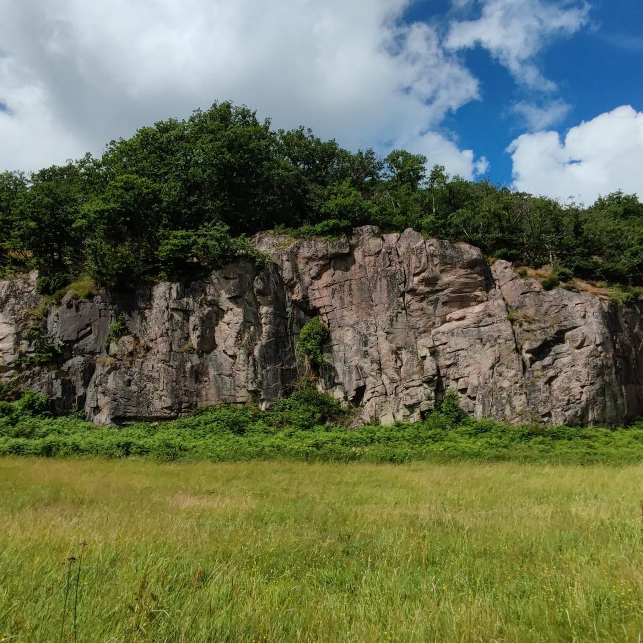
Hiking in Almindingen, located in the heart of Bornholm, Denmark, offers diverse and rugged natural features. The region is characterized by ancient 1.4-billion-year-old granite bedrock, visible in rock walls and large boulders, and features several rift valleys, including the notable Ekkodalen. The terrain is hilly, with varied landscapes encompassing dense forests, open heath, and numerous lakes and wetlands.
Best hiking trails in Almindingen
- The most popular hiking route is Bison Trail, a 6.9 miles (11.2 km) trail that takes about 2 hours 50 minutes to complete. This moderate route leads through the Bison Forest, offering opportunities to observe European bison.
- Another top favourite among local hikers is The cliff path - Bornholm, a moderate 2.7 miles (4.3 km) path. This trail features hilly and uneven terrain along narrow forest paths or rocky ground, providing views.
- Local hikers also love the Rytterknægten Ekkodalen (Echo Valley), a 2.3 miles (3.7 km) trail leading through the famous rift valley and towards Bornholm's highest point, often completed in about 1 hour 5 minutes.
- Hiking in Almindingen is defined by ancient granite bedrock, dramatic rift valleys, and dense forests. The network offers options for different ability levels, from easy family walks to more challenging routes.
- The routes in Almindingen are highly rated by the komoot community with an average score of 4.7 stars from nearly 1000 reviews. More than 3,900 hikers have used komoot to explore Almindingen's varied terrain.
Last updated: July 10, 2026
4.6
(87)
357
hikers
11.2km
02:54
60m
60m
Hike the moderate 6.9-mile Bisonstien - Bornholm trail through Almindingen forest for a chance to spot European bison.
4.8
(60)
324
hikers
4.28km
01:15
60m
60m
Moderate hike. Great for any fitness level. Mostly accessible paths. Sure-footedness required.

Sign up for free
4.6
(37)
129
hikers
3.74km
01:06
80m
80m
Moderate hike. Great for any fitness level. Mostly accessible paths. Sure-footedness required.
4.8
(21)
93
hikers
6.26km
01:42
90m
90m
Easy hike. Great for any fitness level. Easily-accessible paths. Suitable for all skill levels.
4.6
(5)
43
hikers
1.97km
00:33
20m
20m
Explore Bornholm's largest rift valley, Ekkodalen, on this 1.2-mile hike through the lush Almindingen forest, known for its unique echo.
Get access to more routes and recommendations from other explorers.
Sign up for free
Already have an account?
Our route recommendations are based on thousands of hikes, rides, and runs completed by other people on komoot.
Start today with a free account
Your next adventure awaits.
Login or Signup


Tips from the Community

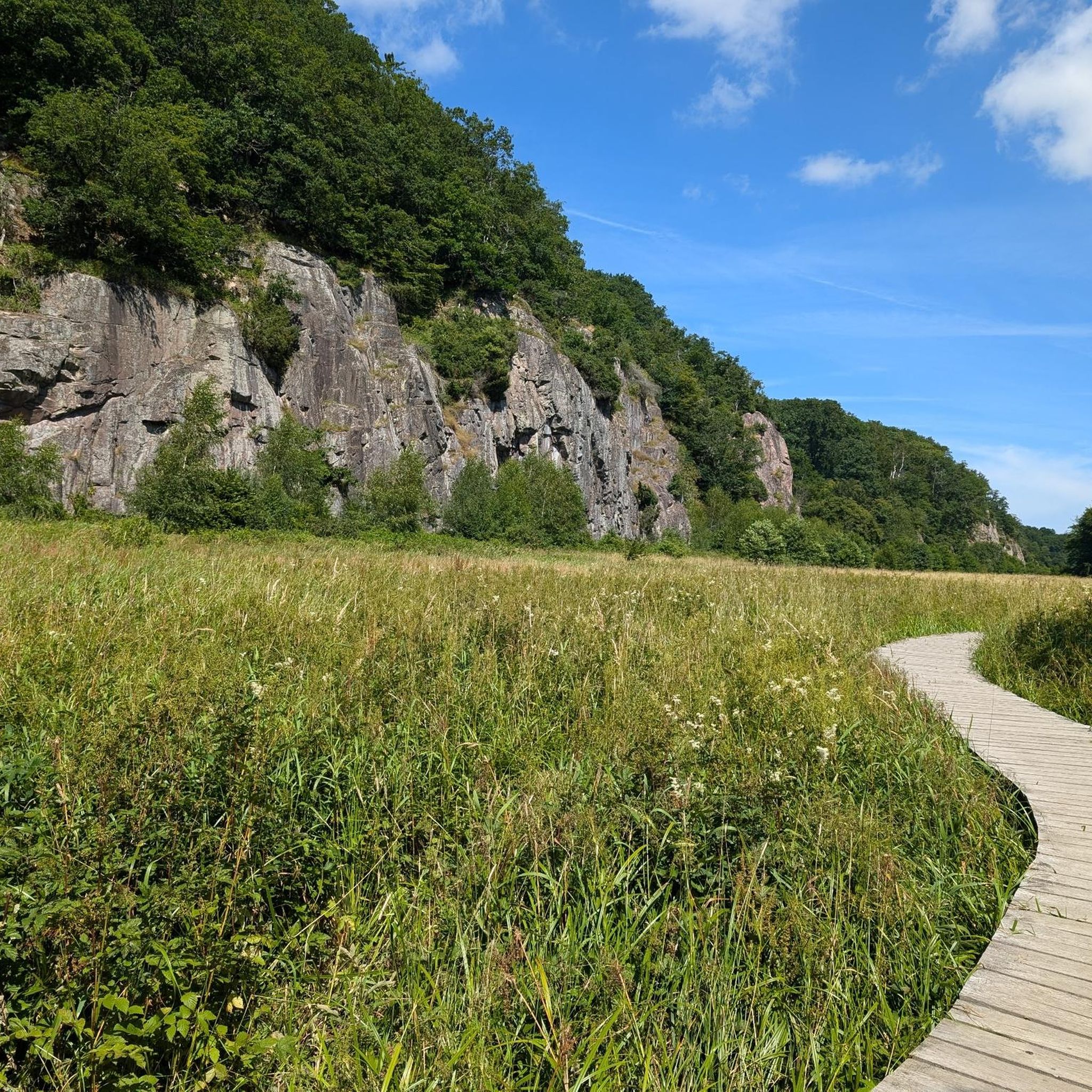
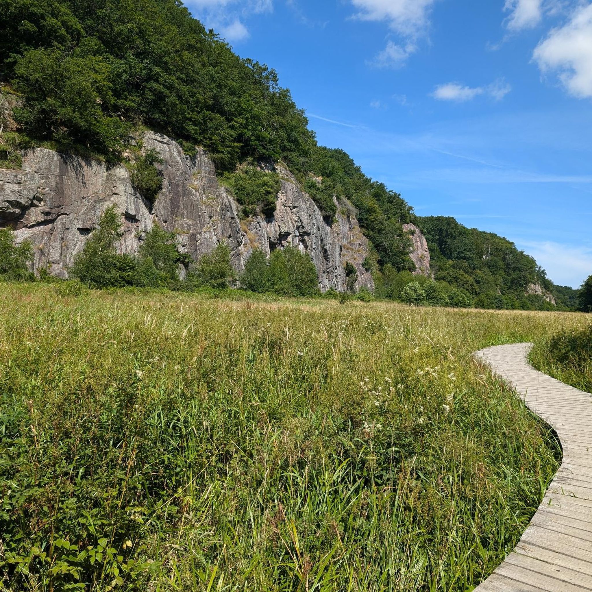
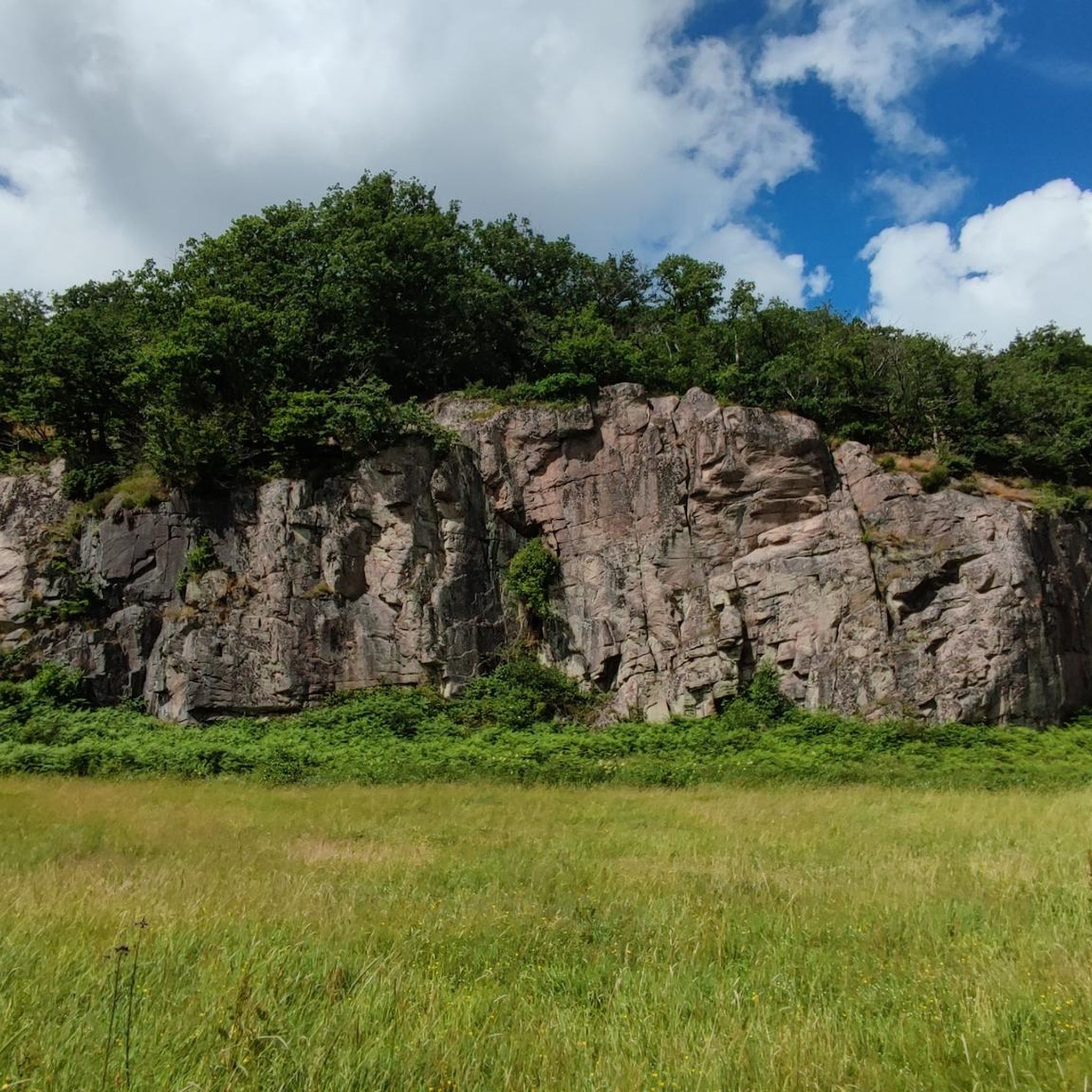
A beautiful valley with steep cliffs, pastures, and a wooden boardwalk. The walk around the valley also takes you above the valley through a gnarled forest with stunning paths and views down to the valley below. Down in the valley, you can expect to share the path with cows :-).
1
0

Unfortunately, the structure on the tower is no longer there Therefore, a distant view is no longer possible
1
0

obviously it is a bison warning
1
0

Unfortunately, the metal spire has been removed, and it's now just a stone tower. Presumably to avoid interfering with the radar station.
1
0

The tower is open and accessible. Unfortunately, the metal structure no longer exists, so the only view you have is of the forest and radar transmitter.
2
0

Unfortunately you only see trees from above
1
0

From this point you can let your gaze wander over the moor, making it a great place to watch birds.
0
0

I couldn't find any useful information on this.
0
0
Frequently Asked Questions
What kind of terrain can I expect when hiking in Almindingen?
Almindingen offers a diverse and often rugged landscape. You'll encounter ancient 1.4-billion-year-old granite bedrock, visible in rock walls and large boulders, especially in the western parts. The terrain is notably hilly, featuring dramatic rift valleys like Ekkodalen Valley, dense forests, and open heath. Some trails, such as The cliff path - Bornholm, feature hilly and uneven ground along narrow forest paths or rocky sections.
Are there easy hiking trails suitable for beginners or families with young children?
Yes, Almindingen has plenty of options for easier walks. Nearly half of the routes, 44 out of 87, are rated as easy. These trails often lead through less challenging forest paths or offer boardwalks over wetland areas. An example is the Kongens Borge trail, which is rated easy.
What are some of the most interesting natural landmarks or viewpoints to see in Almindingen?
Almindingen is rich in natural highlights. You can explore the famous Ekkodalen Valley, known for its echo effect and dramatic rock walls. Don't miss Kongemindet Observation Tower on Rytterknægten, the highest point on Bornholm, offering panoramic views. Another unique sight is The Rokkestenen, a seven-ton glacial erratic that can reportedly rock. The Bisonskoven (Bison Forest) also offers a chance to see European bison.
Can I bring my dog on the hiking trails in Almindingen?
Yes, Almindingen is generally dog-friendly. Most trails allow dogs, but they must be kept on a leash to protect wildlife, especially in areas like the Bisonskoven (Bison Forest) and wetland reserves. Always ensure your dog is under control and respect local signage regarding pet access.
Are there any circular hiking routes in Almindingen?
Many of the trails in Almindingen are designed as circular routes, allowing you to start and end at the same point without retracing your steps. For example, the popular Bison Trail is a circular route that takes you through the forest and past the bison enclosure.
What is the best time of year to go hiking in Almindingen?
Almindingen offers unique experiences year-round. Spring brings lush greenery and blooming wildflowers, while autumn showcases vibrant fall foliage. Summer is popular for its longer daylight hours, and even winter hiking can be magical with snow-covered landscapes. The diverse landscapes, from forests to wetlands, provide beauty in every season.
Are there historical sites or ruins to explore while hiking?
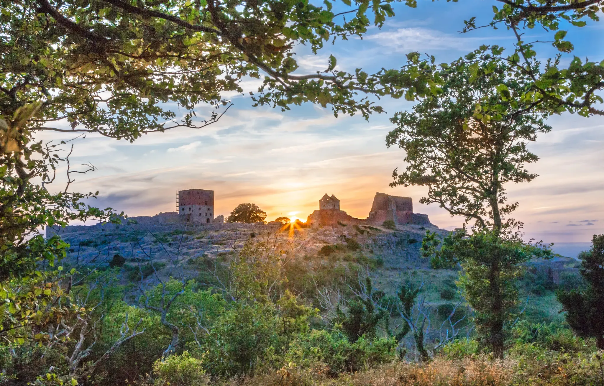
Yes, Almindingen is home to significant historical sites. Hikers can discover the ruins of medieval fortresses such as Gamleborg, a Viking Age castle, and Lilleborg, a royal castle built on a 16-meter-high outcrop. These sites offer a glimpse into Bornholm's rich past amidst the natural beauty.
How long do hikes in Almindingen typically take to complete?
Hikes in Almindingen vary greatly in length and duration. Shorter trails, like the Ekkodalen Trail, can be completed in about 30-40 minutes. Moderate routes, such as Rytterknægten Ekkodalen (Echo Valley), typically take around 1 hour and 5 minutes. Longer trails, like the Bison Trail, can take nearly 3 hours.
What do other hikers enjoy most about hiking in Almindingen?
The area is highly rated by the komoot community, with an average score of 4.7 stars from nearly 1000 reviews. Hikers frequently praise the diverse and rugged natural features, the unique experience of Ekkodalen Valley, and the opportunity to see European bison in the Bisonskoven (Bison Forest). The well-marked trails and varied landscapes also receive high marks.
Are there opportunities for birdwatching in Almindingen?
Absolutely. Almindingen features numerous small lakes, extensive marshy areas, bogs, and fens, creating rich habitats for diverse birdlife. Notable areas like Bastemose, Udkæret, and Ølene are excellent for birdwatching, often equipped with boardwalks and observation towers, such as the Ølene Wildlife Reserve Observation Tower.
Is there parking available for hikers in Almindingen?
Yes, there are several designated parking areas throughout Almindingen, particularly near popular trailheads and attractions like Ekkodalen and Rytterknægten. These parking spots are generally well-marked and provide convenient access to the hiking network.
Can I reach Almindingen trails using public transport?
Public transport options are available to reach Almindingen. Bornholm has a bus network that connects various towns and attractions, including stops near the forest. It's advisable to check the local bus schedules for routes that serve the Almindingen area to plan your trip effectively.
Most popular routes in Almindingen
Most popular attractions in Almindingen

Get inspired with the komoot mobile app


Explore more
Browse the best Hikes in other regions.
