The best walks and hikes in Wielki Dział
4.7
(20)
225
hikers
7
hikes
Hiking in Wielki Dział, located in the Roztocze region of Poland, offers diverse terrain for outdoor enthusiasts. This area features an elevated landscape, reaching 390.5 meters above sea level, and serves as a significant water divide for the Tanew and Rata rivers. The region is characterized by extensive forests, open meadows, and refreshing streams. Hikers can also explore historical elements such as Molotov Line bunkers and abandoned charcoal burning kilns.
Best hiking trails in Wielki Dział
- The most popular hiking…
Last updated: June 26, 2026
2.0
(1)
2
hikers
8.74km
02:32
220m
220m
Moderate hike. Good fitness required. Easily-accessible paths. Suitable for all skill levels.
10
hikers
Hard hike. Very good fitness required. Easily-accessible paths. Suitable for all skill levels.

Sign up for free
5.0
(1)
6
hikers
28.1km
07:50
550m
550m
Hard hike. Very good fitness required. Easily-accessible paths. Suitable for all skill levels.
3
hikers
18.9km
05:26
450m
450m
Hard hike. Very good fitness required. Easily-accessible paths. Suitable for all skill levels.
5.0
(1)
17
hikers
8.40km
02:19
150m
150m
Moderate hike. Good fitness required. Easily-accessible paths. Suitable for all skill levels.
Get access to more routes and recommendations from other explorers.
Sign up for free
Already have an account?
Our route recommendations are based on thousands of hikes, rides, and runs completed by other people on komoot.
Start today with a free account
Your next adventure awaits.
Login or Signup
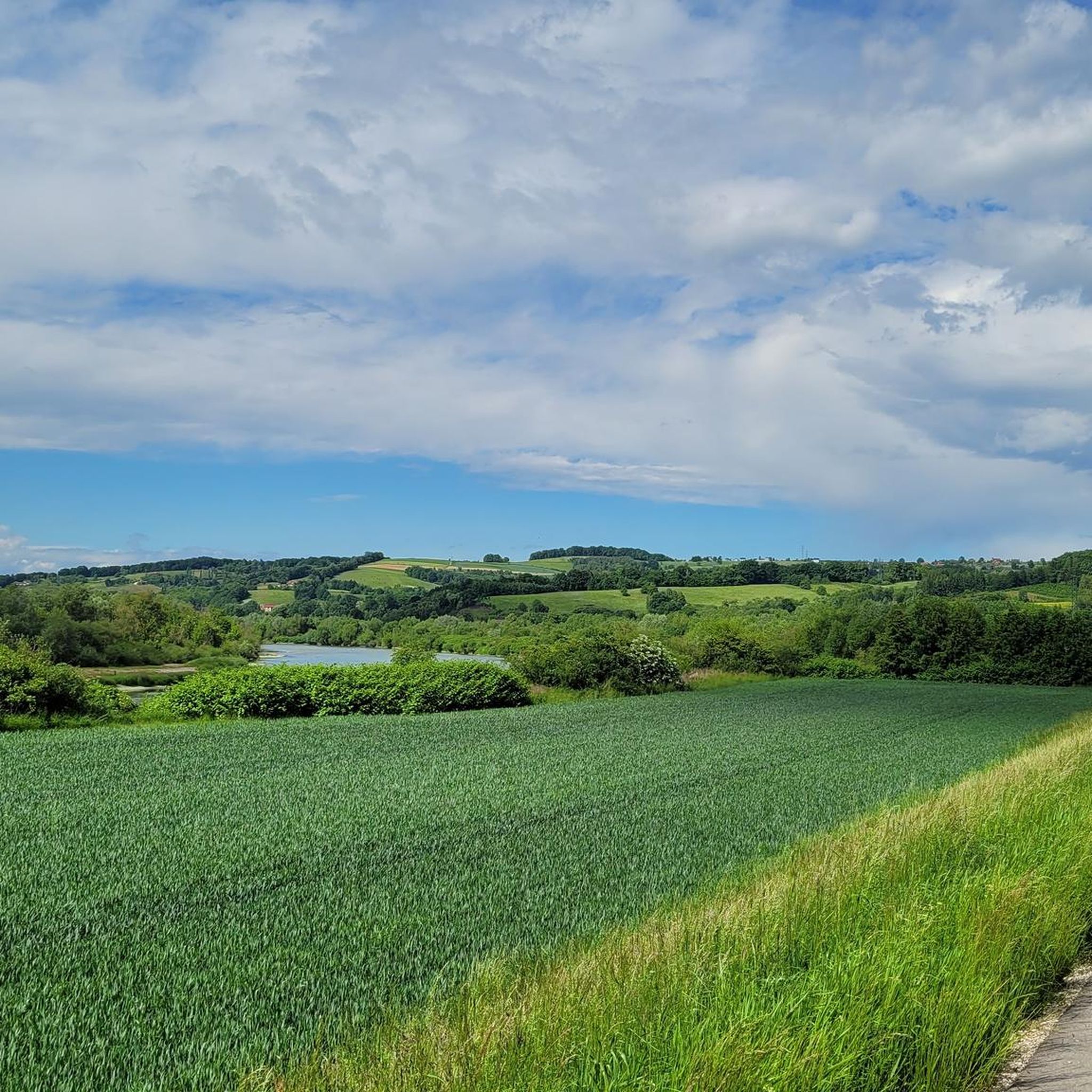
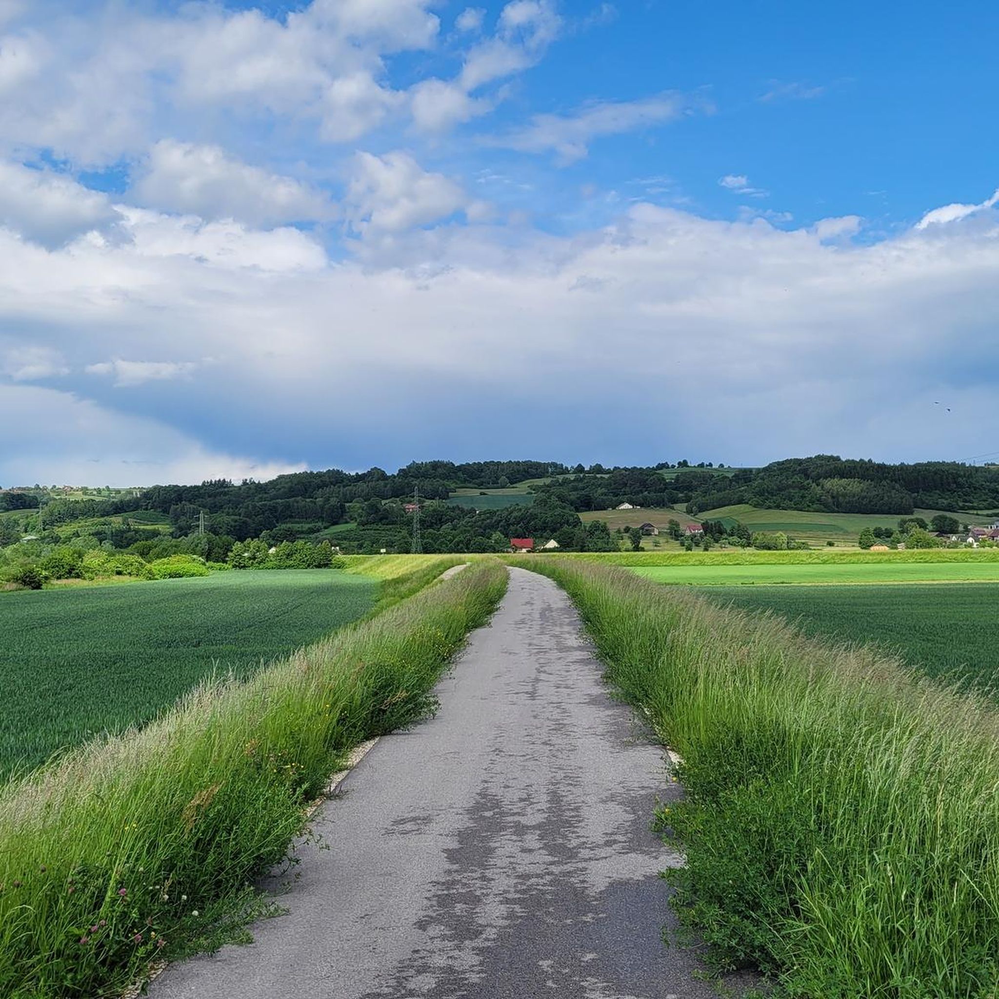
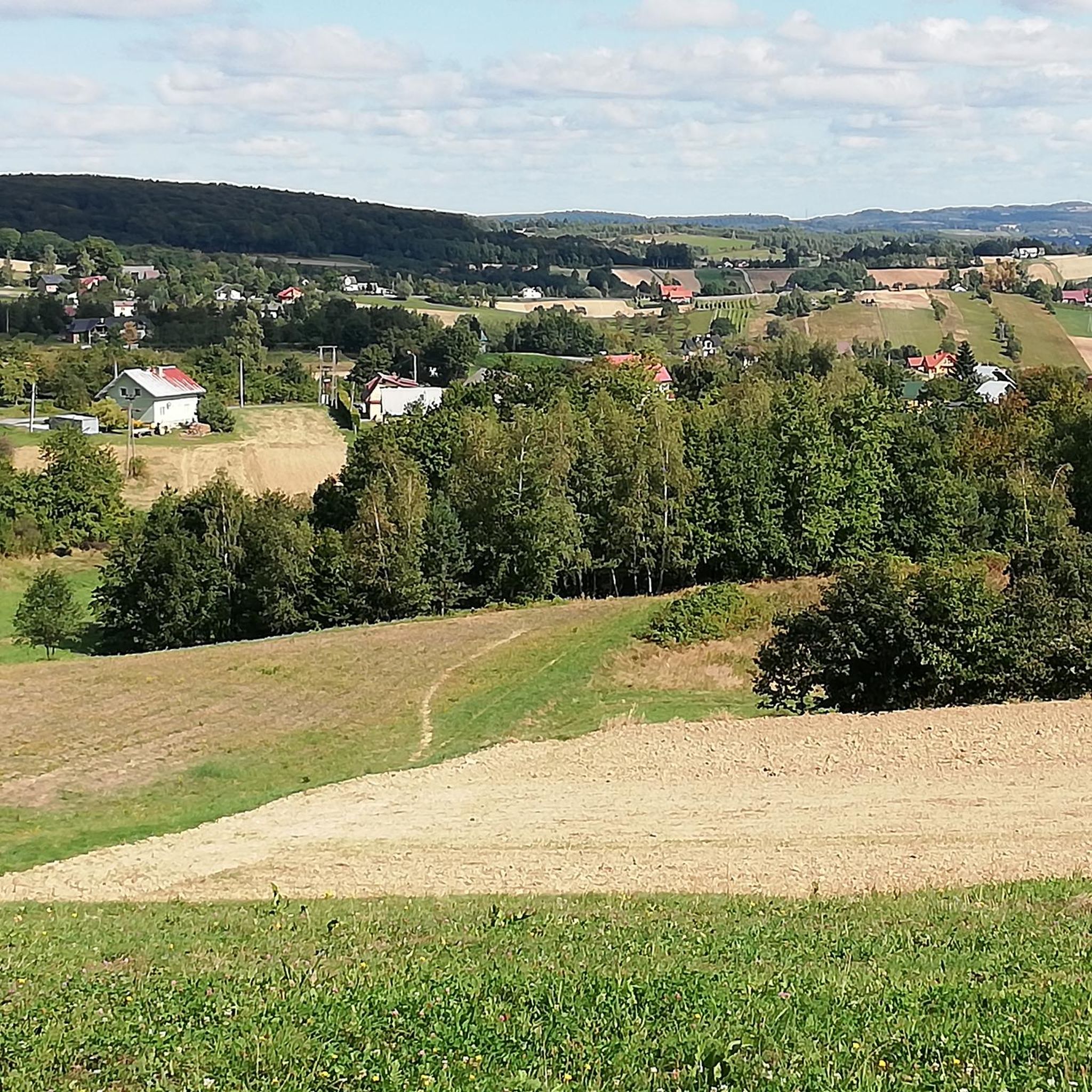
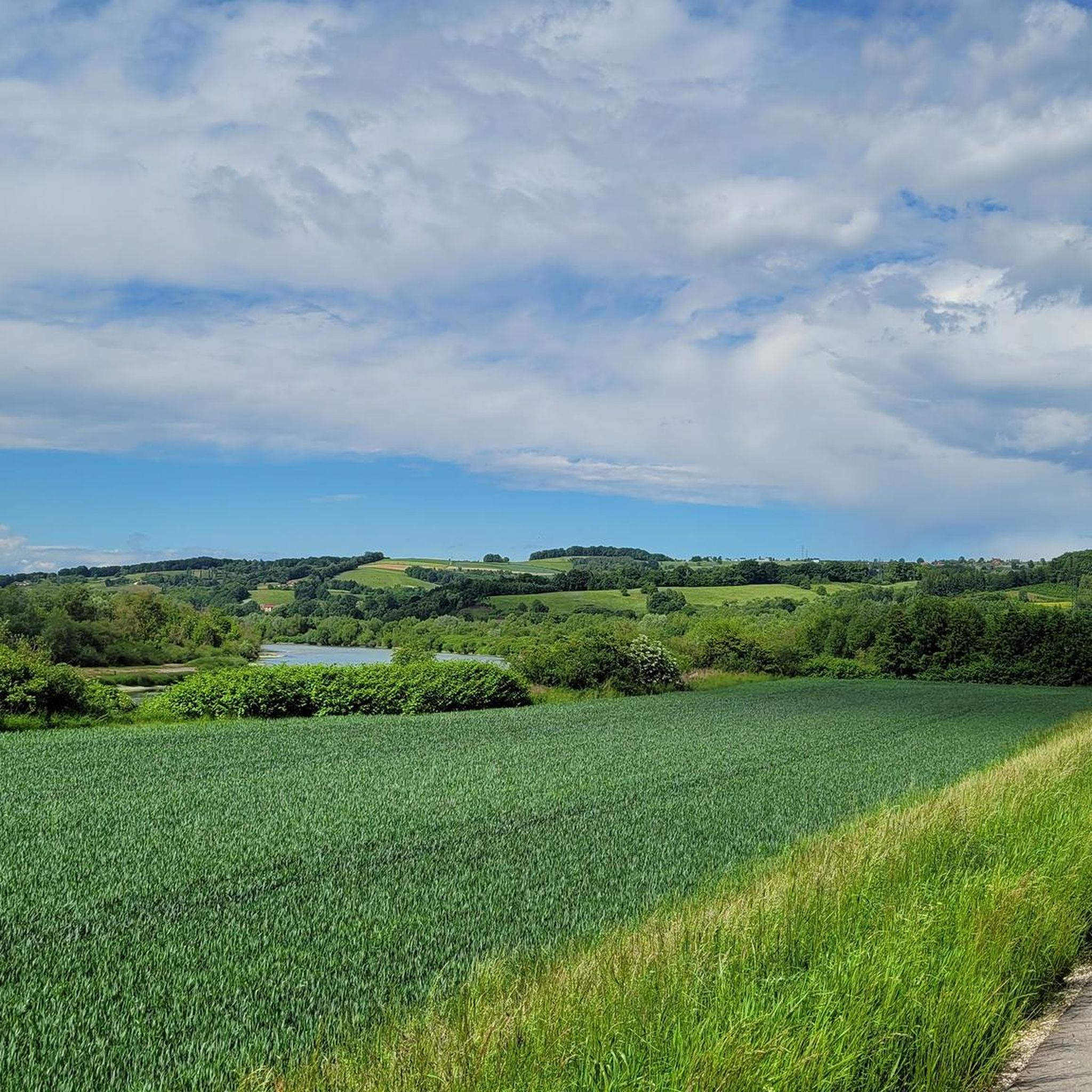
Tips from the Community

Unfortunately, on April 30, the bacówka on Brzanka ceased its operations.
0
0

Cemetery + a nice initial descent through the forest but thoroughly plowed at the bottom
0
0


Many consider it the best place in the Ciężkowice area. Although in summer it is a small stream of water, it turns out that in winter it freezes and turns into a large icefall! The huge rocks surrounding it are also impressive - maybe that is why there were legends about witches (hence the name of this waterfall/icefall) who held a sabbath here (those were the days, eh?)
1
0
A great mountain shelter in Jodłówka Tucholska at an altitude of 508 m above sea level. You will eat well here and there are also accommodations - take a look at the mountain shelter's website http://www.brzanka.pl/ You are of course in a beautiful natural environment: beautiful green trees everywhere (in winter it will probably be snowy and white here), and the panorama from the top is so extraordinary that you are already being born into another Adam Mickiewicz! There is a great observation tower nearby, which of course you are already climbing.
1
0

witches waterfall Ciężkowice waterfall
1
1
petrified city
1
0
Frequently Asked Questions
What kind of terrain can I expect when hiking in Wielki Dział?
Wielki Dział features an elevated landscape, reaching 390.5 meters above sea level, and serves as a significant water divide. You'll find extensive forests, open meadows, and refreshing streams. The terrain offers varied views, especially from the west, providing a blend of natural beauty and historical exploration.
Are there historical landmarks to see along the trails in Wielki Dział?
Yes, Wielki Dział offers unique historical insights. Hikers can explore bunkers from the Molotov Line, particularly on the western and northern slopes, which are remnants from World War II. You might also discover abandoned charcoal burning kilns in these areas, adding another layer of history to your hike.
How many hiking routes are available in Wielki Dział?
There are over 10 hiking routes available in Wielki Dział, catering to various skill levels. These include easy, moderate, and difficult trails, allowing you to choose an adventure that suits your experience.
What are the difficulty levels of hikes in Wielki Dział?
Wielki Dział offers a range of difficulty levels. You'll find 4 easy routes, 6 moderate routes, and 2 difficult routes, ensuring options for both casual walkers and experienced trekkers.
Are there any long-distance or challenging hikes in the area?
For those seeking a challenge, Wielki Dział has several longer and more difficult routes. One such option is the Mountain Hut Brzanka – Diabli Kamień Rocks loop from Siedliska koło Tuchowa, a difficult 26.6 km trail with significant elevation gain through varied forest landscapes.
Are there any moderate length hikes suitable for a half-day trip?
Yes, for a moderate half-day hike, consider the Hiking loop from Ciężkowice. This 7.5 km trail leads through forests and open areas and can typically be completed in about 2 hours and 5 minutes.
What do other hikers say about the trails in Wielki Dział?
The routes in Wielki Dział are highly rated by the komoot community, with an average score of 4.6 stars from over 18 reviews. Hikers often praise the varied terrain, the well-marked paths, and the opportunity to explore both natural beauty and historical sites.
Are there any specific named trails in Wielki Dział with cultural significance?
Yes, the area features trails with cultural and historical significance. The Green St. Brother Albert Trail (Szlak im. św. Brata Alberta), running from Narol to Horyniec-Zdrój, is associated with the life and work of Saint Brother Albert Chmielowski and Blessed Bernardyna Maria Jabłońska, offering a spiritual and cultural aspect to your hike.
What are good starting points for hiking to the summit of Wielki Dział?
Convenient starting points for ascents to the summit of Wielki Dział include nearby villages such as Stara Huta, Wola Wielka, Jacków Ogród, and the abandoned Dahany. These locations offer access to the well-marked trail network.
Are there any circular hiking routes in Wielki Dział?
Yes, there are several circular routes available. An example of a moderate loop is the Ciężkowice Market Square loop from Ciężkowice, which covers 16.1 km. For a more challenging option, the Cairn on Brzanka loop from Siedliska koło Tuchowa is a difficult 18.9 km path offering expansive views.
What kind of natural features can I expect to see in Wielki Dział?
Wielki Dział is characterized by wild and picturesque Roztocze landscapes. You'll encounter dense forests, open fields, refreshing streams, and dewy grasses. The area is also notable for being a significant water divide, with the Tanew River flowing west and the Rata River flowing east from its slopes.
Most popular routes in Wielki Dział

Get inspired with the komoot mobile app


Explore more
Browse the best Hikes in other regions.
