The best running trails in Calvörder Forst
4.6
(41)
295
runners
66
runs
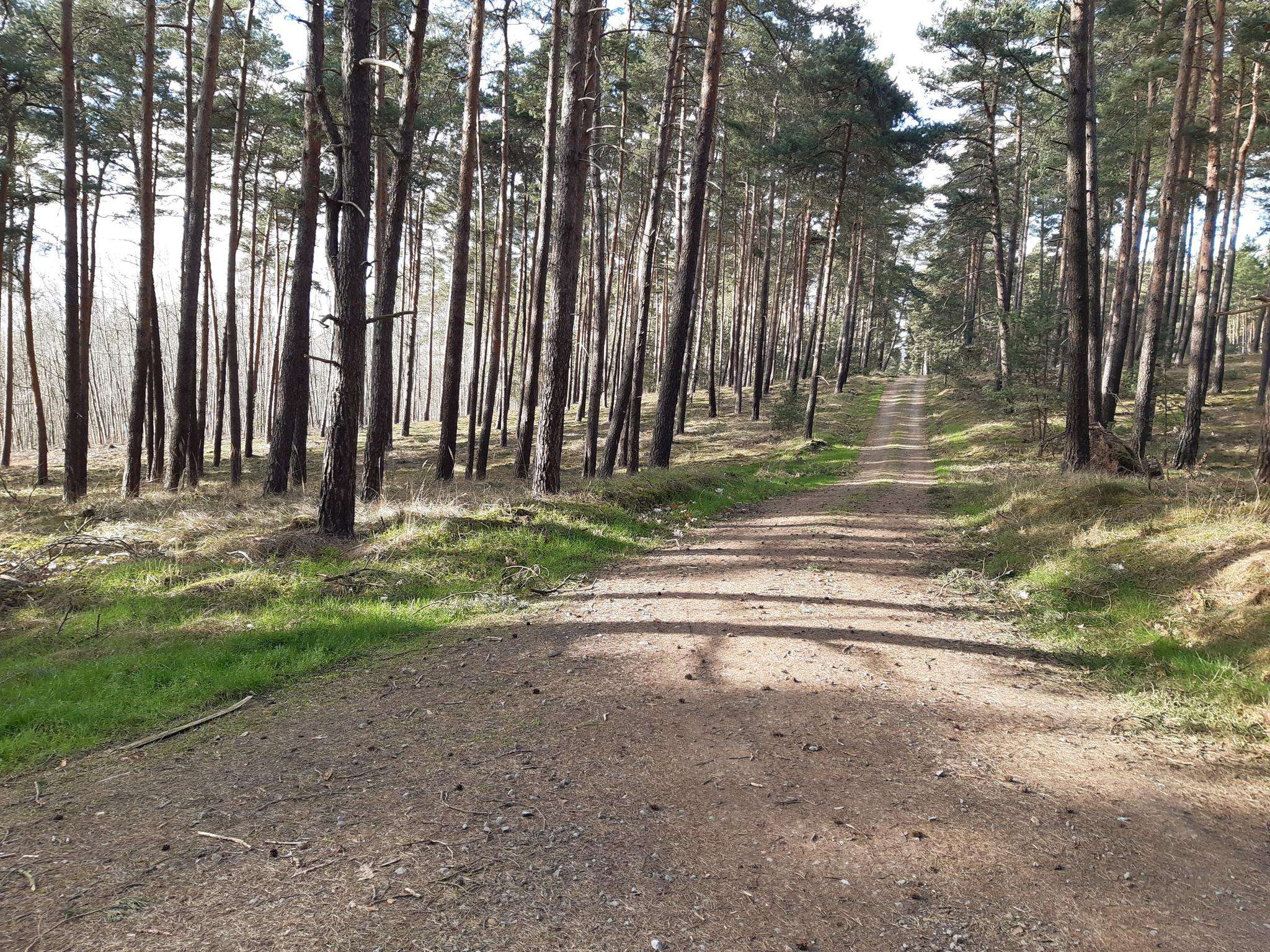
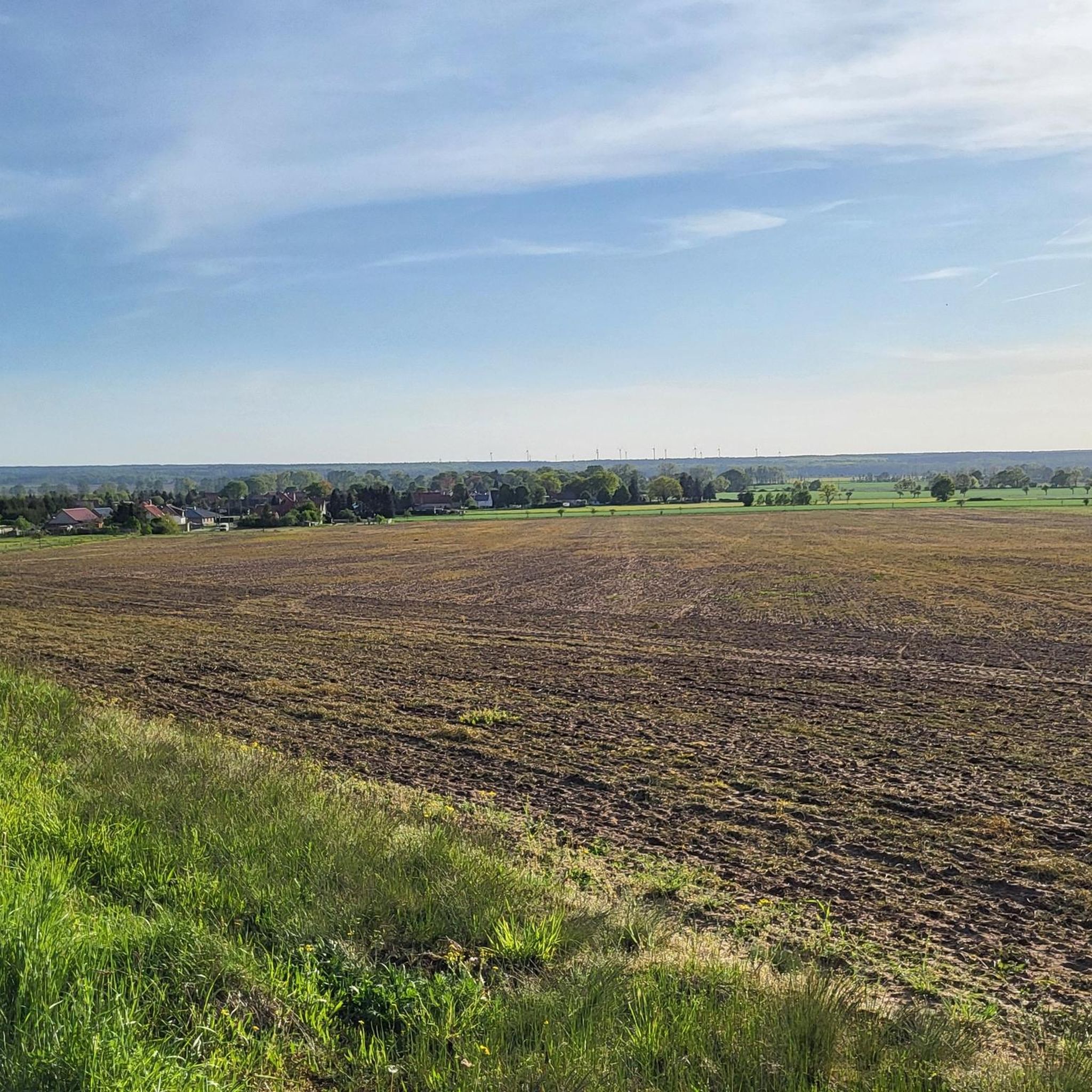
Jogging routes in Calvörder Forst traverse a diverse landscape characterized by extensive woodlands and rolling hills. The region features the Calvörder Berge, a low mountain range with notable elevations like the Rabenberg (145.7 m) and the Mörderberg (116.8 m), providing varied terrain for runners. Dense forests offer shaded paths, while the Klare Grete river marks the southern border, adding to the natural environment. This area provides a network of trails suitable for various running experiences.
Best jogging routes in Calvörder…
Last updated: June 26, 2026
8
runners
7.02km
00:44
30m
30m
Moderate run. Good fitness required. Mostly paved surfaces. Suitable for all skill levels.
5.0
(1)
7
runners
5.31km
00:33
30m
30m
Moderate run. Good fitness required. Mostly paved surfaces. Suitable for all skill levels.

Sign up for free
7
runners
8.25km
00:51
20m
20m
Moderate run. Good fitness required. Mostly paved surfaces. Suitable for all skill levels.
3
runners
11.7km
01:13
50m
60m
Moderate run. Good fitness required. Mostly paved surfaces. Suitable for all skill levels.
3
runners
10.7km
01:07
70m
70m
Moderate run. Good fitness required. Mostly paved surfaces. Suitable for all skill levels.
Get access to more routes and recommendations from other explorers.
Sign up for free
Already have an account?
Our route recommendations are based on thousands of hikes, rides, and runs completed by other people on komoot.
Start today with a free account
Your next adventure awaits.
Login or Signup

Frequently Asked Questions
What kind of terrain can I expect on the running routes in Calvörder Forst?
The Calvörder Forst offers a diverse landscape, primarily characterized by extensive woodlands and rolling hills. You'll encounter the Calvörder Berge, a low mountain range with gentle ascents and descents, including elevations like the Rabenberg (145.7 m) and the Mörderberg (116.8 m). The dense forests provide shaded paths, making for a refreshing running experience.
Are there many running trails available in Calvörder Forst?
Yes, Calvörder Forst features a comprehensive network of trails. There are over 60 dedicated running routes, catering to various preferences and fitness levels, from easy paths to moderately challenging trails.
What do other runners say about the trails in Calvörder Forst?
The running trails in Calvörder Forst are highly regarded by the komoot community, holding an average rating of 4.6 stars from over 39 reviews. Runners frequently praise the varied terrain, the peaceful forest atmosphere, and the well-maintained paths that make for an enjoyable outdoor experience.
Are there any family-friendly running routes in Calvörder Forst?
While specific 'family-friendly' designations aren't always explicit, many of the easier and moderate routes are suitable. For a more relaxed experience, consider the 7.3 km loop around the Zernitzer Waldsee Picnic Area, which offers pleasant forest paths and a scenic stop.
Can I find circular running routes in Calvörder Forst?
Absolutely. Many of the popular running routes in Calvörder Forst are designed as loops. For example, the Törner See loop from Bülstringen is a moderate 7.0 km circular trail, and the Running loop from Bülstringen offers a straightforward 5.3 km circular path.
Are there any longer running routes for endurance training?
Yes, for those looking for longer distances, the Calvörder Forst has options. The Törner See – Waldsee Zernitz loop from Bülstringen is a moderate 11.7 km route, and the area around Bodendorf Castle Church and the Bodendorf Ponds offers a scenic 14.5 km route, perfect for a longer jog.
What natural features or landmarks can I see while running?
As you run through Calvörder Forst, you can encounter several notable natural features and historical elements. The Calvörder Berge provide varied topography, and you might spot the almost dried-up Klare Grete river along the southern border. Additionally, old border stones, remnants from when Calvörde belonged to the Duchy of Braunschweig, add a touch of history to the natural surroundings.
Are there any challenging running routes in the Calvörder Forst?
While most routes are moderate, the varied topography of the Calvörder Berge offers engaging challenges. The 'Weg zum Mörderberg – The Mörderberg Loop' is an 11.0 km route from Böddensell, considered moderately difficult due to its varied terrain, making it an excellent option for a more demanding run.
How many easy running routes are there in Calvörder Forst?
For those preferring a less strenuous run, Calvörder Forst offers 8 easy running routes. These trails provide a gentle introduction to the region's natural beauty without significant elevation changes.
What is the best time of year to go running in Calvörder Forst?
The dense woodlands of Calvörder Forst offer shaded paths, making it pleasant for running even during warmer months. However, the changing foliage in autumn provides a particularly scenic backdrop, and the well-maintained trails are generally accessible year-round, though conditions may vary with snow or ice in winter.
Are there any running routes that pass by lakes or water bodies?
Yes, several routes incorporate water features. The Törner See loop from Bülstringen circles around the Törner See. You can also find routes that lead to the Zernitzer Waldsee picnic area or traverse the area around the Bodendorf Ponds, offering refreshing views during your run.
Is there a route that starts from Flechtingen?
Yes, you can start your run from Flechtingen. The Patronage Church Flechtingen loop from Flechtingen is a moderate 9.7 km route that begins and ends in the town, offering a convenient starting point for exploring the surrounding area.
Most popular routes in Calvörder Forst

Get inspired with the komoot mobile app


Explore more
Browse the best Running Trails & Routes in other regions.
