The best road cycling routes in Calvörder Forst
4.7
(25)
412
riders
61
rides
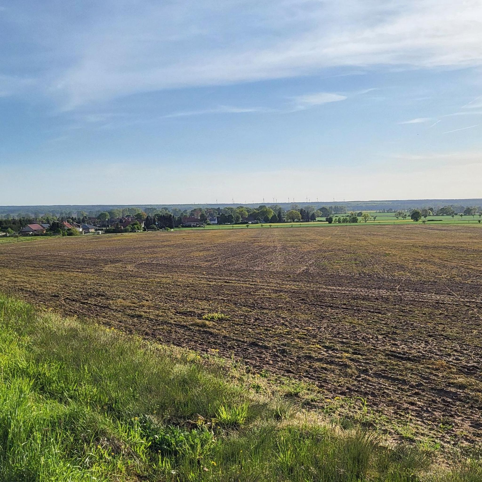
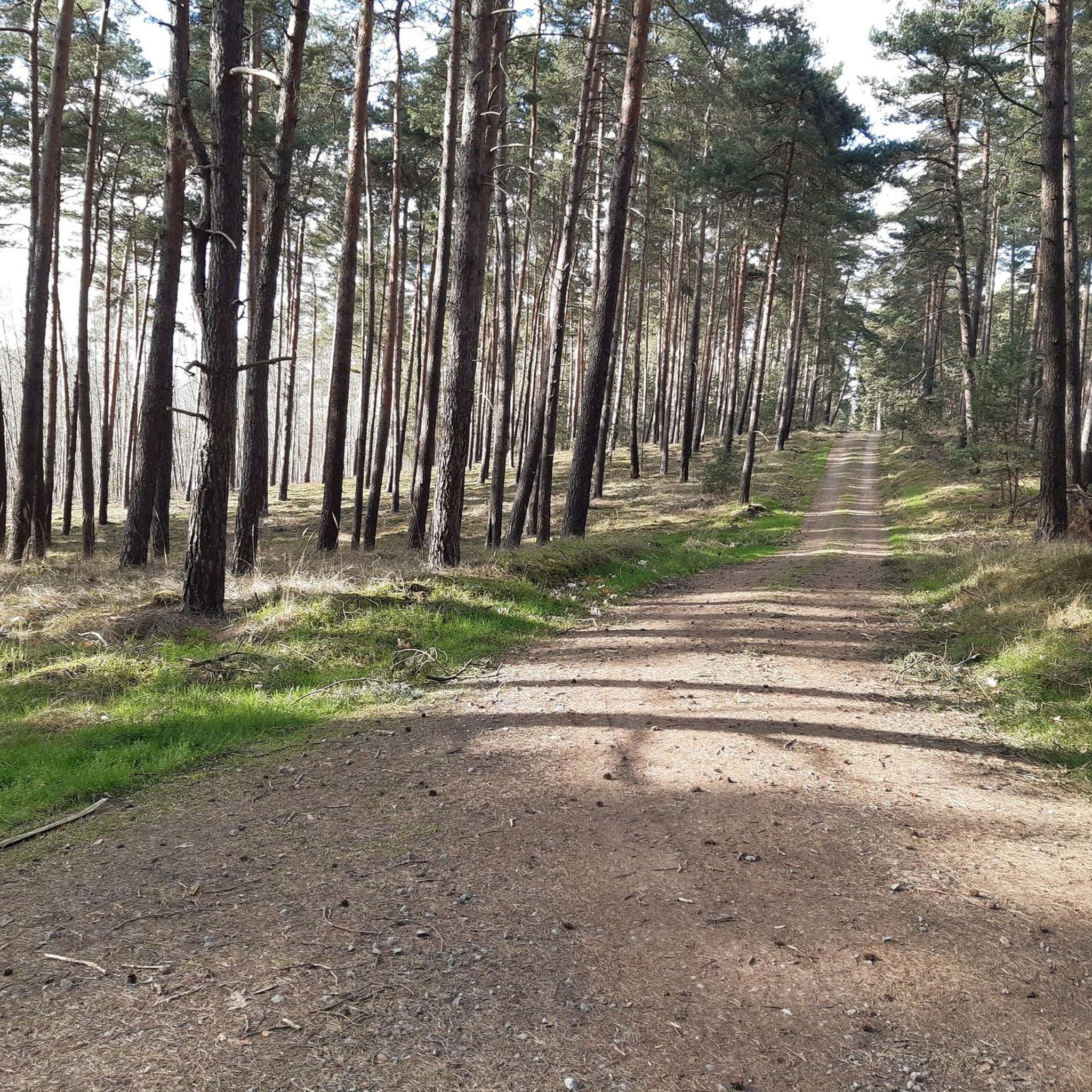
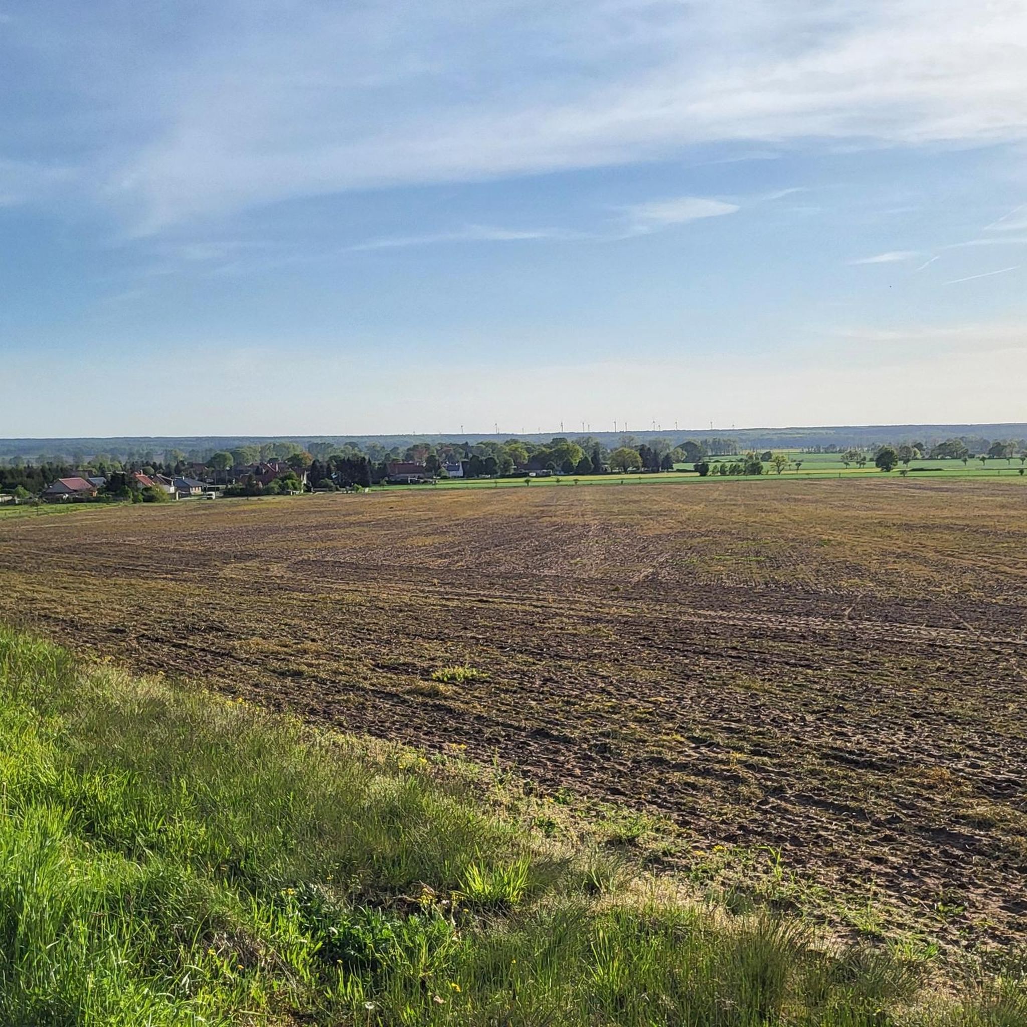
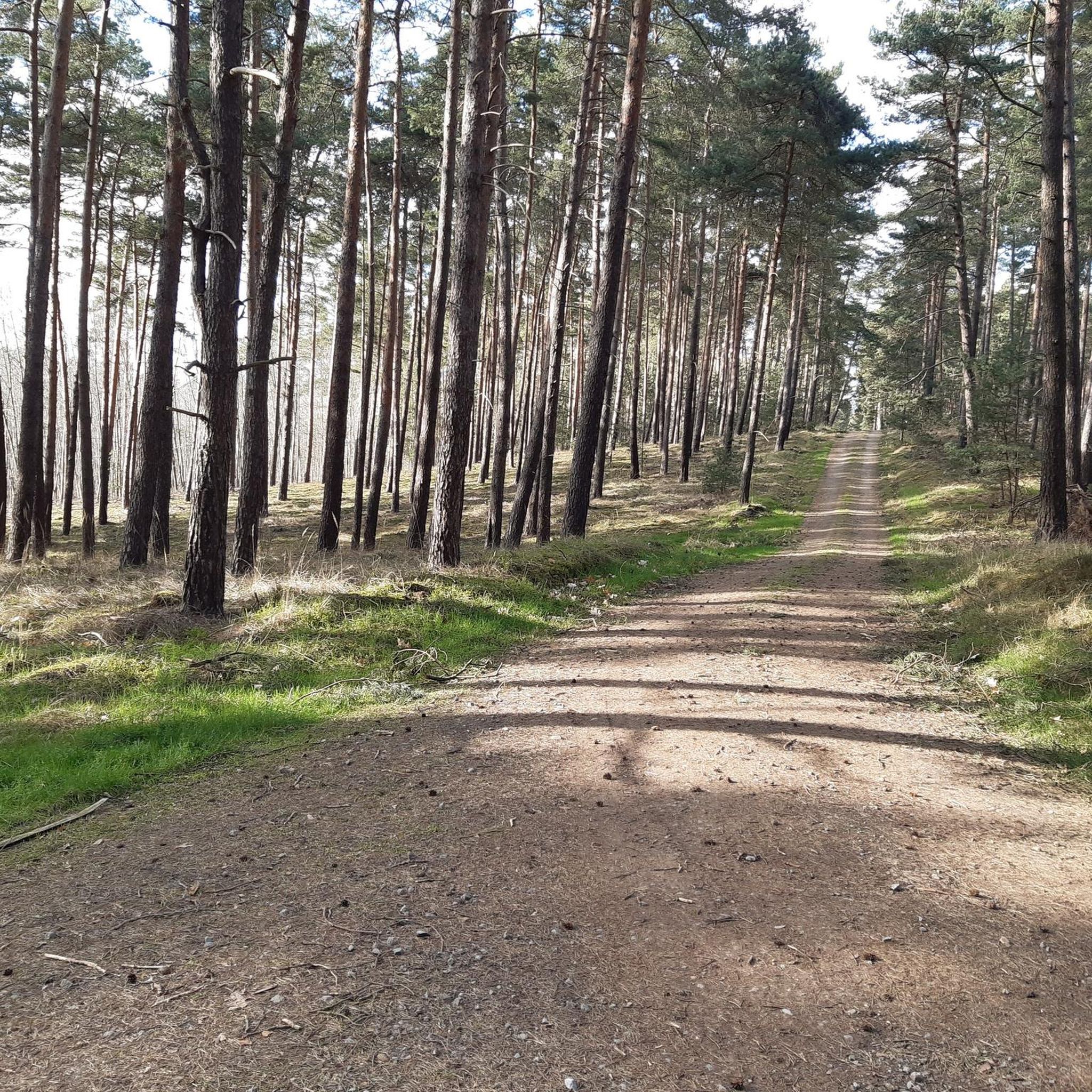
Road cycling routes in Calvörder Forst traverse a varied landscape characterized by the Calvörder Berge, which include hills like the Rabenberg (145.7 m) and the Mörderberg (116.8 m). This hilly terrain provides diverse environments, from dense forests to gentle ascents, suitable for engaging cycling experiences. The region features well-regarded routes with mostly well-paved surfaces, accommodating various fitness levels. Natural elements such as the Klare Grete river and Isernhagen lake contribute to the area's scenic appeal.
Best road cycling routes in Calvörder Forst
- The most popular road cycling route is Deserted village of Nordhusen – Nordhusen Church Ruins loop from Flechtingen, a 30.2 miles (48.6 km) trail that takes 2 hours 2 minutes to complete. This moderate route explores historical sites and the surrounding countryside.
- Another top favourite among local road cyclists is Roadbike loop from Flechtingen, a moderate 32.6 miles (52.5 km) path. This route offers varied terrain around Flechtingen, suitable for cyclists seeking a longer ride.
- Local road cyclists also love the Seehäuser Lake – Wanzleben Castle loop from Flechtingen, a 59.9 miles (96.5 km) trail leading through natural and historical landmarks, often completed in about 4 hours 4 minutes.
- Road cycling in Calvörder Forst is defined by hilly terrain, dense woodlands, and varied inclines. The network offers options for different ability levels, from easy rides to more challenging excursions.
- The routes in Calvörder Forst are highly rated by the komoot community with an average score of 4.8 stars from more than 20 reviews. More than 400 road cyclists have used komoot to explore Calvörder Forst's varied terrain.
Last updated: July 10, 2026
5.0
(2)
12
riders
Moderate road ride. Good fitness required. Some segments of this route may be unpaved and difficult to ride.
4
riders
52.9km
02:12
300m
300m
Moderate road ride. Good fitness required. Some segments of this route may be unpaved and difficult to ride.

Sign up for free
3
riders
96.6km
04:04
570m
570m
Moderate road ride. Good fitness required. Some segments of this route may be unpaved and difficult to ride.
13
riders
37.8km
01:31
150m
150m
Easy road ride. Great for any fitness level. Mostly well-paved surfaces and easy to ride.
9
riders
58.5km
02:17
120m
120m
Moderate road ride. Good fitness required. Mostly well-paved surfaces and easy to ride.
Get access to more routes and recommendations from other explorers.
Sign up for free
Already have an account?
Our route recommendations are based on thousands of hikes, rides, and runs completed by other people on komoot.
Start today with a free account
Your next adventure awaits.
Login or Signup

Tips from the Community

Vehicle traffic is allowed on the route, but rare.
0
0


depends entirely on the direction 😁👍
0
0

Beautiful, historic castle 🏰 now a hotel 🏨 worth seeing 💯🔝👍🏻😉‼️
2
0

Plastered hall church with turret and spire from 1697-1700. Inside, a remarkable floating baptismal angel
0
0
Cruciform quarry stone church with a choir tower and apse dating back to the 12th century. Inside, a remarkable baptismal angel is featured. Tours are available by appointment.
0
0
Excellent paved connecting road between Emden and Bebertal. No traffic on weekends.
0
0
Well-paved, traffic-free connecting road between Altenhausen and Emden
0
0
Frequently Asked Questions
How many road cycling routes are available in Calvörder Forst?
Calvörder Forst offers a wide selection of road cycling routes, with over 60 different tours available. These routes cater to various skill levels, including 14 easy and 50 moderate options, ensuring there's a suitable ride for almost every cyclist.
What kind of terrain can I expect on road cycling routes in Calvörder Forst?
The Calvörder Forst region is characterized by the Calvörder Berge, featuring hills like the Rabenberg (145.7 m) and the Mörderberg (116.8 m). This means you can expect varied terrain, from dense forests to gentle ascents, providing engaging cycling experiences with diverse inclines. Most routes feature mostly well-paved surfaces, suitable for road bikes.
Are there any easy road cycling routes for beginners in Calvörder Forst?
Yes, Calvörder Forst offers 14 easy road cycling routes perfect for beginners or those seeking a more relaxed ride. An example of an easy route is the Bülstringen Church – Schlossteich Flechtingen loop from Wegenstedt, which covers 38.1 km with moderate elevation gain.
What do other cyclists say about road cycling in Calvörder Forst?
The road cycling routes in Calvörder Forst are highly rated by the komoot community, with an average score of 4.8 stars from over 20 reviews. More than 400 road cyclists have used komoot to explore the area, often praising the varied terrain, well-maintained paths, and scenic backdrop of dense woods and natural attractions.
Are there any notable natural features or landmarks along the road cycling routes?
Yes, the region boasts several natural and historical features. You might encounter the almost dried-up Klare Grete river near Wieglitz, or the Isernhagen lake. Historical elements like old border stones are also present. While specific highlights are not listed for all routes, the Deserted village of Nordhusen – Nordhusen Church Ruins loop from Flechtingen explores historical sites, and the Seehäuser Lake – Wanzleben Castle loop from Flechtingen passes by natural and historical landmarks.
Can I find road cycling routes that are loop trails in Calvörder Forst?
Many of the road cycling routes in Calvörder Forst are designed as loops, offering convenient starting and ending points. For instance, the popular Roadbike loop from Flechtingen is a moderate 52.5 km path that provides varied terrain around Flechtingen.
Is Calvörder Forst suitable for family-friendly road cycling?
While the region offers varied terrain, including hilly sections, there are 14 easy routes that could be suitable for families depending on their cycling experience. These routes typically have less elevation gain and shorter distances, making them more accessible for younger or less experienced riders.
What is the best time of year to go road cycling in Calvörder Forst?
The region's varied terrain and dense forests make it appealing across different seasons. However, for optimal road cycling conditions, spring and autumn generally offer pleasant temperatures and beautiful scenery. Summer can also be great, especially for rides through the shaded forest areas. Winter conditions might include snow or ice, making some routes less suitable for road biking.
Are there any cafes or restaurants near the road cycling routes in Calvörder Forst?
The guide focuses on the routes themselves, but the surrounding Calvörde area and nearby towns like Flechtingen are likely to offer local amenities such as cafes, pubs, and restaurants where cyclists can refuel and relax after their rides. It's advisable to check local listings for specific establishments.
Where can I park my car when road cycling in Calvörder Forst?
While specific parking locations are not detailed for every route, many routes, especially those starting from towns like Flechtingen or Wegenstedt, will likely have designated parking areas. It's recommended to check the starting points of individual routes on komoot for more precise parking information.
Are there any particularly long or challenging road cycling routes in the area?
Yes, for cyclists seeking a longer and more challenging excursion, the Seehäuser Lake – Wanzleben Castle loop from Flechtingen is a notable option. This route spans 96.5 km and involves significant elevation gain, typically taking around 4 hours to complete, making it suitable for those with good fitness.
Most popular routes in Calvörder Forst

Get inspired with the komoot mobile app


Explore more
Browse the best Road cycling routes in other regions.
