The best walks and hikes in Kreiswald
4.5
(41411)
146,627
hikers
55
hikes
Hiking in Kreiswald, located within the Ennepe-Ruhr-Kreis, offers a diverse landscape characterized by dense forests, rolling hills, and numerous streams. The region features varied terrain, providing a range of mountain hiking trails suitable for different skill levels. Hikers can expect paths with moderate elevation changes, winding through wooded areas and open valleys.
Best hiking trails in Kreiswald
- The most popular hiking route is View of Am Schnüber – Path Through the Chicken Gates loop from Wald am oberen Paasbach,…
Last updated: August 17, 2026
4.5
(241)
836
hikers
Moderate hike. Good fitness required. Easily-accessible paths. Suitable for all skill levels.
4.7
(192)
599
hikers
Moderate hike. Good fitness required. Easily-accessible paths. Suitable for all skill levels.

Sign up for free
4.6
(115)
373
hikers
Easy hike. Great for any fitness level. Easily-accessible paths. Suitable for all skill levels.
4.7
(118)
408
hikers
Moderate hike. Good fitness required. Easily-accessible paths. Suitable for all skill levels.
4.8
(95)
335
hikers
Hard hike. Good fitness required. Sure-footedness, sturdy shoes and alpine experience required.
Get access to more routes and recommendations from other explorers.
Sign up for free
Already have an account?
Our route recommendations are based on thousands of hikes, rides, and runs completed by other people on komoot.
Start today with a free account
Your next adventure awaits.
Login or Signup

Tips from the Community

Sup for hiking and mountain biking and not too busy during the week
0
0


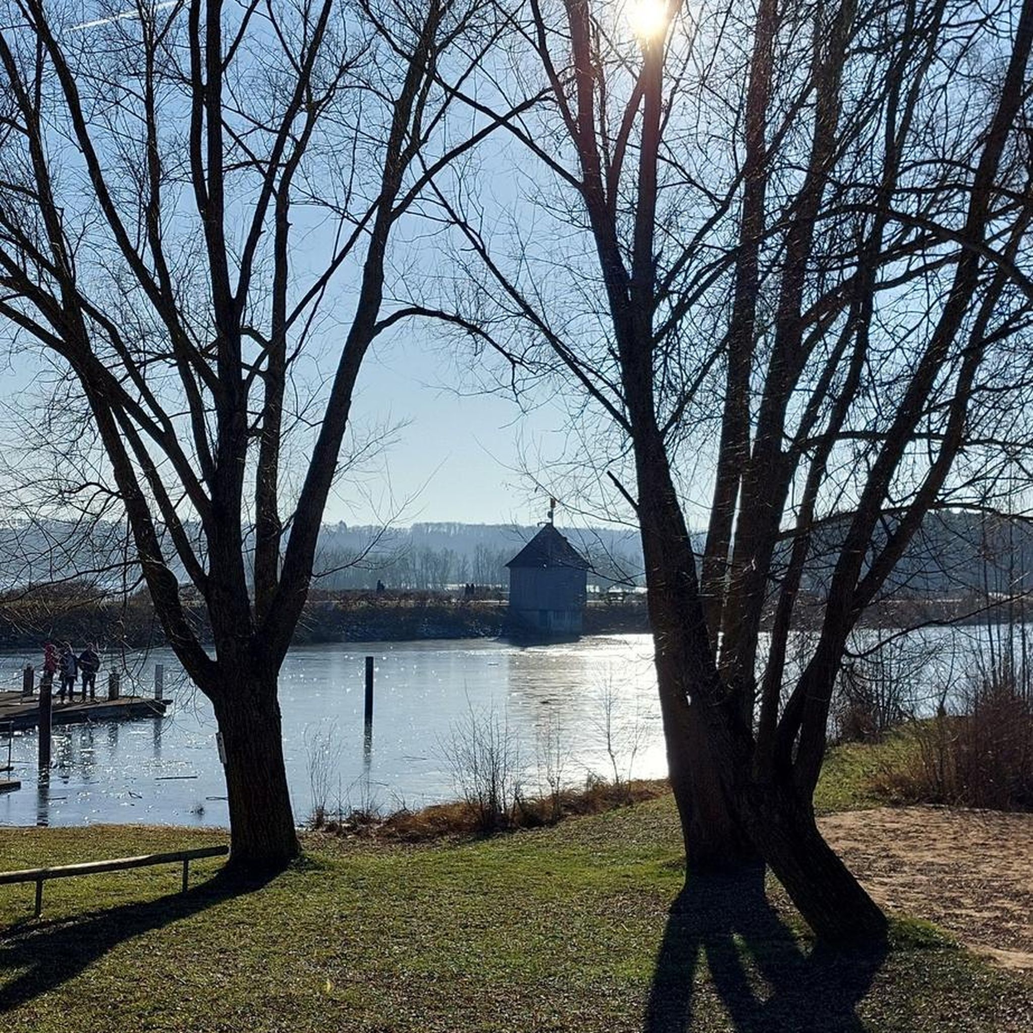
From this bench you have an honest view.
0
0

The idyllic Elfringhauser Schweiz is located in North Rhine-Westphalia, on the southern edge of the Ruhr area at the transition to the Bergisches Land, between Hattingen, Sprockhövel, Velbert and Wuppertal.
0
0
The area is of geological interest because some of the southernmost strata of the coal mountain range outcrop on its southeastern edge, and the oldest documented coal mines in the Ruhr region were located in the area. Near the former Niederheide pit of the Alte Haase colliery, the Elfringhauser Schweiz (Elfringhauser Switzerland) is the southernmost mining colony in the Ruhr region. The elevations include Schieferberg, Winterberg (315 m), Kottenberg, Sahlberg, Hölterberg, Eberg, Juttermannsberg (273 m), Immelberg, Ottoplatte, Hordtberg (245 m), Hansberg (228 m), Homberg, Nonnenberg, Kahlenberg, and Zipperberg. See: https://de.m.wikipedia.org/wiki/Elfringhauser_Schweiz
0
0
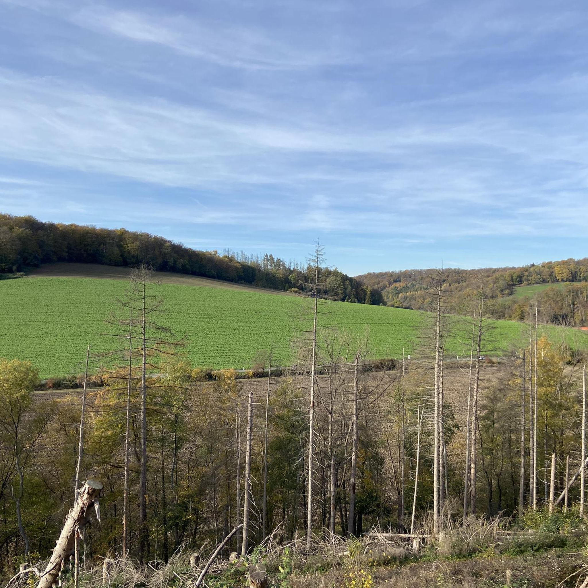
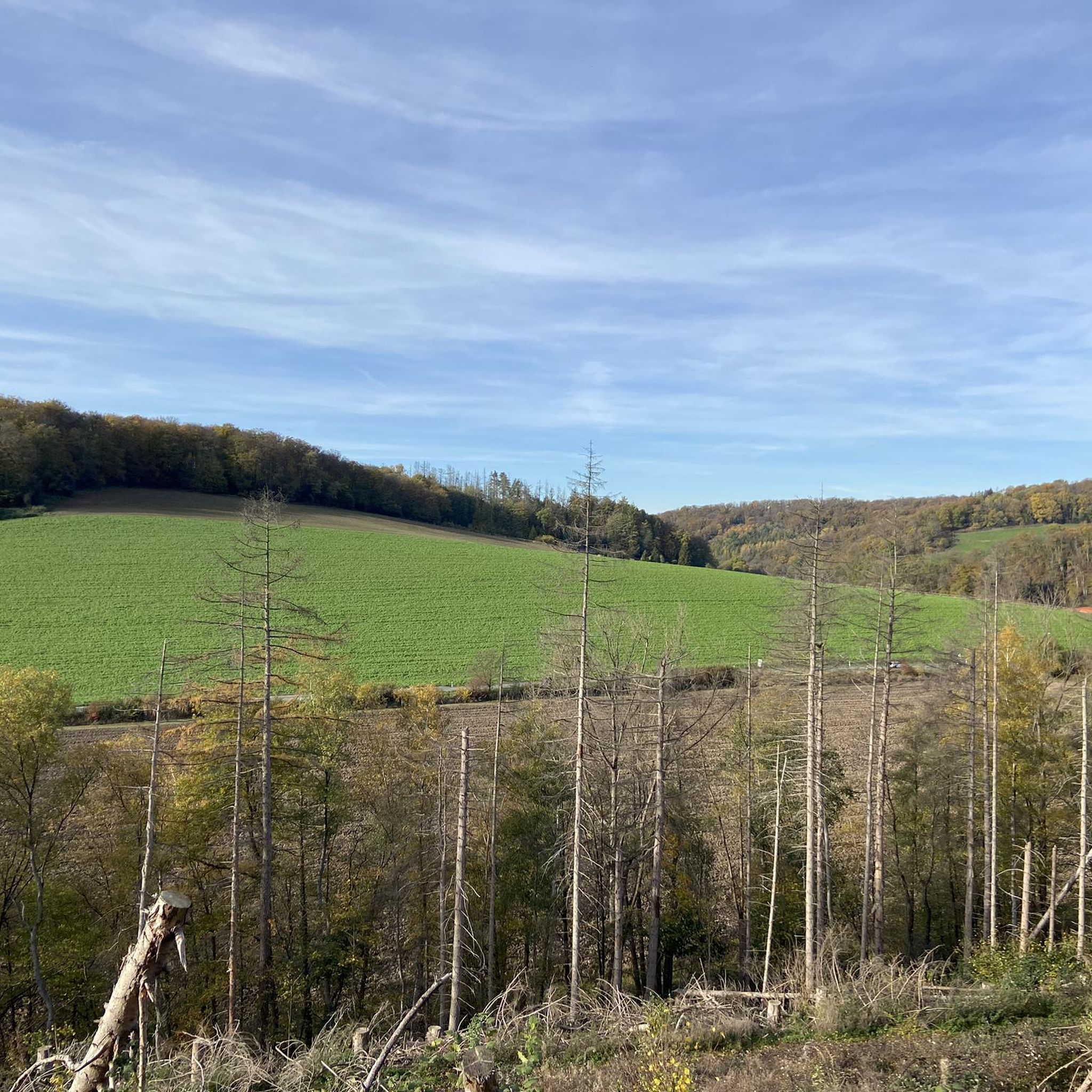
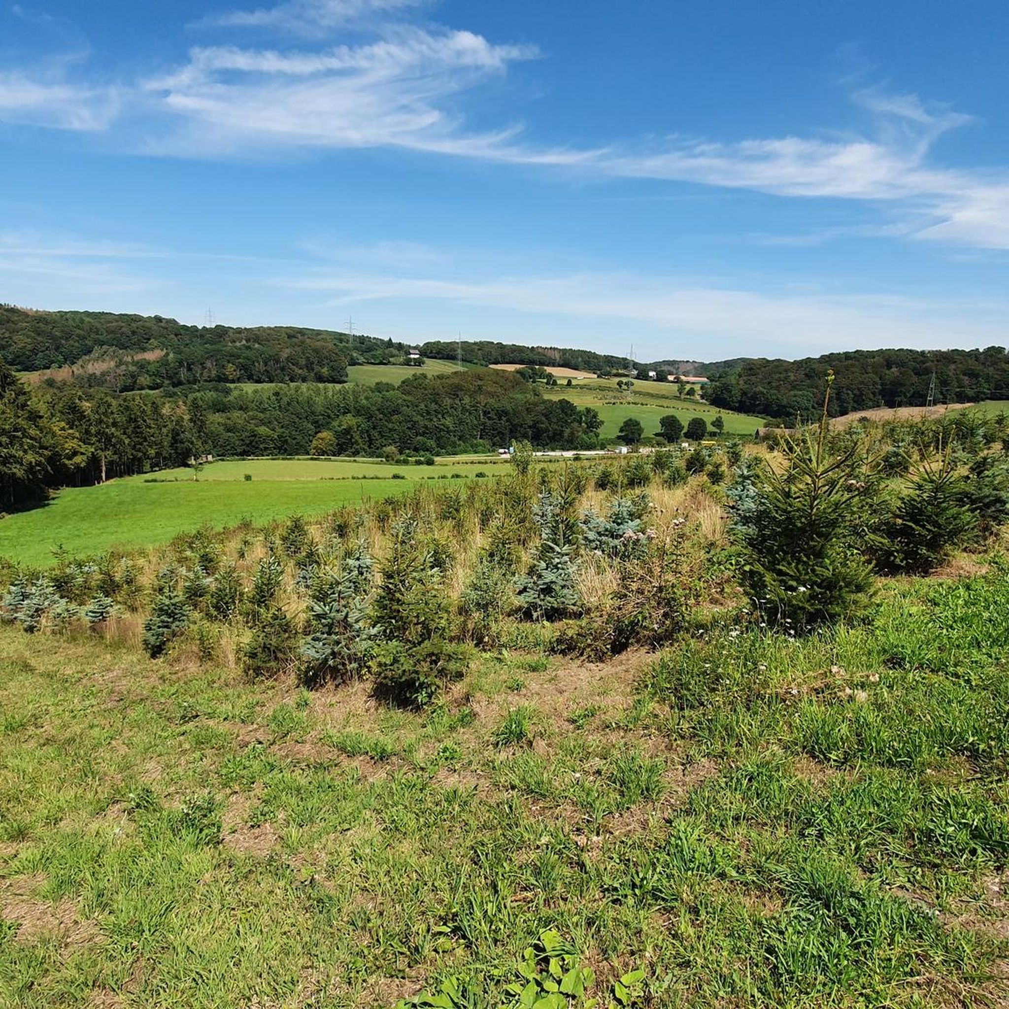
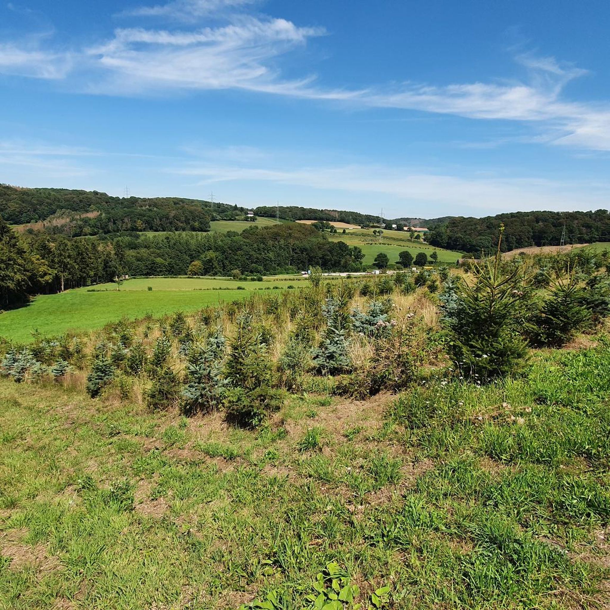
Elfringhausen Switzerland is the name given to the part of the Bergisch-Märkisch hills south of the Ruhr near Elfringhausen, between Hattingen, Wuppertal, Sprockhövel, and Velbert. Two deep stream valleys, the Deilbachtal and the Felderbachtal, are framed by elevations some 300 meters high, with numerous brooks leading from the mountain slopes into the valleys. Autumn in the Hills The area, also called the "Hattinger Hills," belongs to the Bergisches Land low mountain range west of the Deilbach (Teilbach, meaning border stream), while the area east of it belongs to the Margraviate of Westphalia. In addition to agriculture and forestry, the hills primarily serve as a recreational area. The Bergerhof, first documented in 1482, is a popular starting point for many hiking trails south of Hattingen.
1
0
The Deilbachtal Nature Reserve (Ennepe-Ruhr District) is located in the towns of Hattingen and Sprockhövel in the Ennepe-Ruhr District of North Rhine-Westphalia. The reserve extends from the crossing of the Deilbach stream under Elberfelder Straße (L70) to west of the former Deilbachmühle restaurant on Deilbachstraße. Where the Deilbach forms the border between the Ennepe-Ruhr District and Velbert (Mettmann District) or Wuppertal, the reserve runs only on the right bank of the Deilbach stream.
0
1
Frequently Asked Questions
What kind of terrain can I expect on hiking trails in Kreiswald?
Kreiswald offers a varied landscape with dense forests, rolling hills, and numerous streams. You'll find paths with moderate elevation changes, winding through wooded areas and open valleys. The region, potentially part of the broader Odenwald, is known for its diverse trails, from easily accessible paths to more challenging routes with significant elevation gains.
How many hiking trails are available in Kreiswald?
There are over 50 hiking trails in Kreiswald, catering to various skill levels. This includes 30 easy routes, 11 moderate routes, and 14 more difficult options, ensuring there's a suitable path for every hiker.
Are there any easy hiking routes suitable for beginners in Kreiswald?
Yes, Kreiswald offers 30 easy hiking routes perfect for beginners or those looking for a relaxed walk. An example is the View of the Ruhr Valley loop from Wald am oberen Paasbach, which is 6.9 km long with an elevation gain of 176 meters.
What are some notable natural features or landmarks to see while hiking in Kreiswald?
Kreiswald and its surrounding areas offer several natural highlights. You can find beautiful viewpoints like View of Felderbachtal or the View of the Ruhr region from Bergerhof. The region also features charming water bodies such as Forest lake at Juttermannsberg and the Felderbach Pond at Laaker Mühle. The Path Through the Chicken Gates is another interesting trail feature.
Are there any circular hiking routes in Kreiswald?
Many of the trails in Kreiswald are circular routes, offering convenient starting and ending points. For instance, the Scenic Forest Path loop from Wald am oberen Paasbach is a challenging 12.7 km circular hike with 359 meters of elevation gain.
What do other hikers enjoy most about hiking in Kreiswald?
The hiking trails in Kreiswald are highly rated by the komoot community, with an average score of 4.6 stars from over 1500 reviews. Hikers frequently praise the diverse forest terrain, the expansive views of areas like the Ruhr Hills and Felderbachtal, and the well-maintained paths that wind through scenic valleys.
Are there family-friendly hiking options in Kreiswald?
Yes, Kreiswald has numerous easy trails suitable for families. These paths often feature moderate elevation changes and lead through pleasant wooded areas, providing an enjoyable outdoor experience for all ages. Look for routes categorized as 'easy' for the most family-friendly options.
Can I bring my dog on the hiking trails in Kreiswald?
Generally, dogs are welcome on hiking trails in Kreiswald. It's always recommended to keep your dog on a leash, especially in nature protection areas or where wildlife is present, and to clean up after them. The varied terrain and forest paths provide a great environment for walks with your canine companion.
What is the typical duration of hikes in Kreiswald?
Hikes in Kreiswald vary in duration depending on the route and your pace. Many popular trails, such as the View of Am Schnüber – Path Through the Chicken Gates loop, take around 2 hours 50 minutes to complete. Longer routes, like the View of Felderbachtal – View of the Ruhr Hills loop, can take over 3 hours.
Are there any cafes or places to eat near the hiking trails in Kreiswald?
While specific cafes directly on the trails are not detailed, the region, being part of the Odenwald, is known for its picturesque villages. You can often find local eateries and cafes in the towns and villages surrounding the Kreiswald area, perfect for a refreshment after your hike.
Is public transport available to reach trailheads in Kreiswald?
Information on specific public transport links to individual trailheads in Kreiswald is limited. However, as part of the Ennepe-Ruhr-Kreis, the region generally has local bus services that connect towns and might provide access to some starting points. It's advisable to check local transport schedules for specific routes.
What is the best time of year to go hiking in Kreiswald?
Kreiswald offers enjoyable hiking experiences throughout much of the year. Spring and autumn provide pleasant temperatures and beautiful scenery with blooming flora or vibrant fall foliage. Summer is also popular, though some trails might be more shaded due to dense forests. Winter hiking is possible, but conditions can vary, so check local weather before heading out.
Most popular routes in Kreiswald
Most popular attractions in Kreiswald

Get inspired with the komoot mobile app


Explore more
Browse the best Hikes in other regions.
