The best walks and hikes in Memleben-Buchaer Forst
4.5
(2096)
6,964
hikers
332
hikes
Hiking in Memleben-Buchaer Forst offers a diverse network of trails within a forested landscape in the Burgenlandkreis region of Germany. The area is characterized by its woodlands and rolling terrain, providing varied routes for outdoor activities. This region also integrates culturally significant sites, such as the Mittelberg Observation Tower and the Arche Nebra hiking trail, enhancing the exploration experience.
Best hiking trails in Memleben-Buchaer Forst
- The most popular hiking route is Mittelberg Lookout Tower – Arche Nebra loop from Steinklöbe…
Last updated: August 25, 2026
4.6
(211)
832
hikers
5.52km
01:36
140m
130m
Easy hike. Great for any fitness level. Easily-accessible paths. Suitable for all skill levels.
4.6
(205)
795
hikers
5.58km
01:36
140m
140m
Easy hike. Great for any fitness level. Easily-accessible paths. Suitable for all skill levels.

Sign up for free
4.3
(16)
44
hikers
20.0km
05:21
220m
220m
Hard hike. Very good fitness required. Easily-accessible paths. Suitable for all skill levels.
4.7
(21)
44
hikers
11.6km
03:12
190m
190m
Moderate hike. Good fitness required. Easily-accessible paths. Suitable for all skill levels.
4.7
(20)
66
hikers
14.3km
03:50
170m
170m
Moderate hike. Good fitness required. Easily-accessible paths. Suitable for all skill levels.
Get access to more routes and recommendations from other explorers.
Sign up for free
Already have an account?
Our route recommendations are based on thousands of hikes, rides, and runs completed by other people on komoot.
Start today with a free account
Your next adventure awaits.
Login or Signup
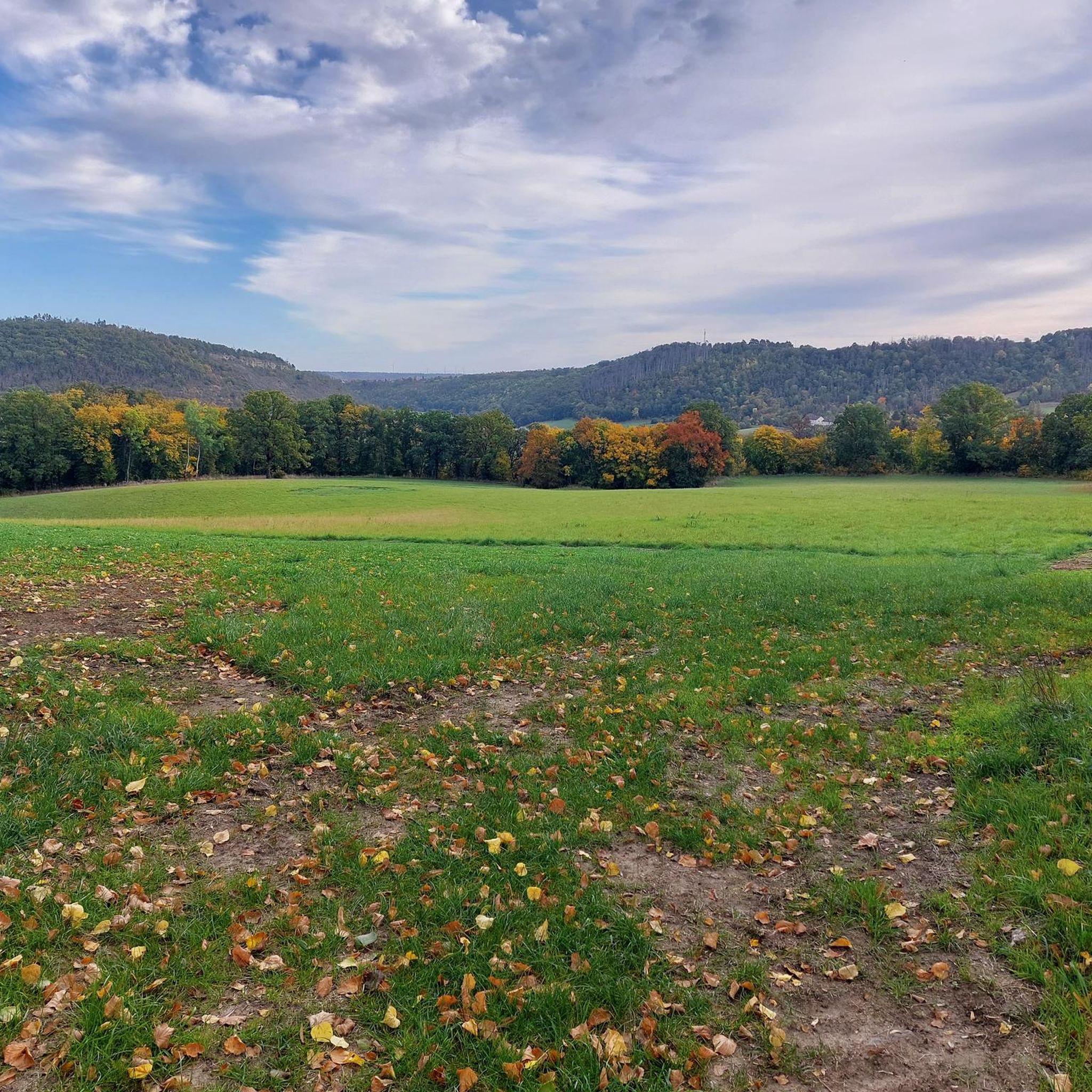
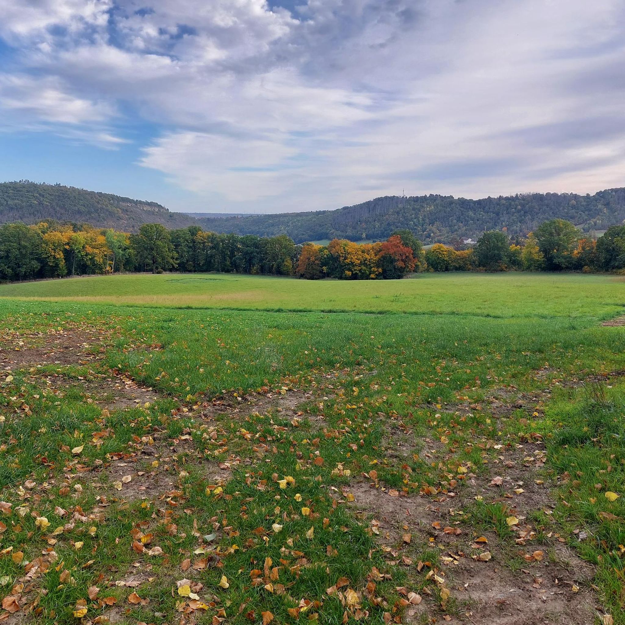
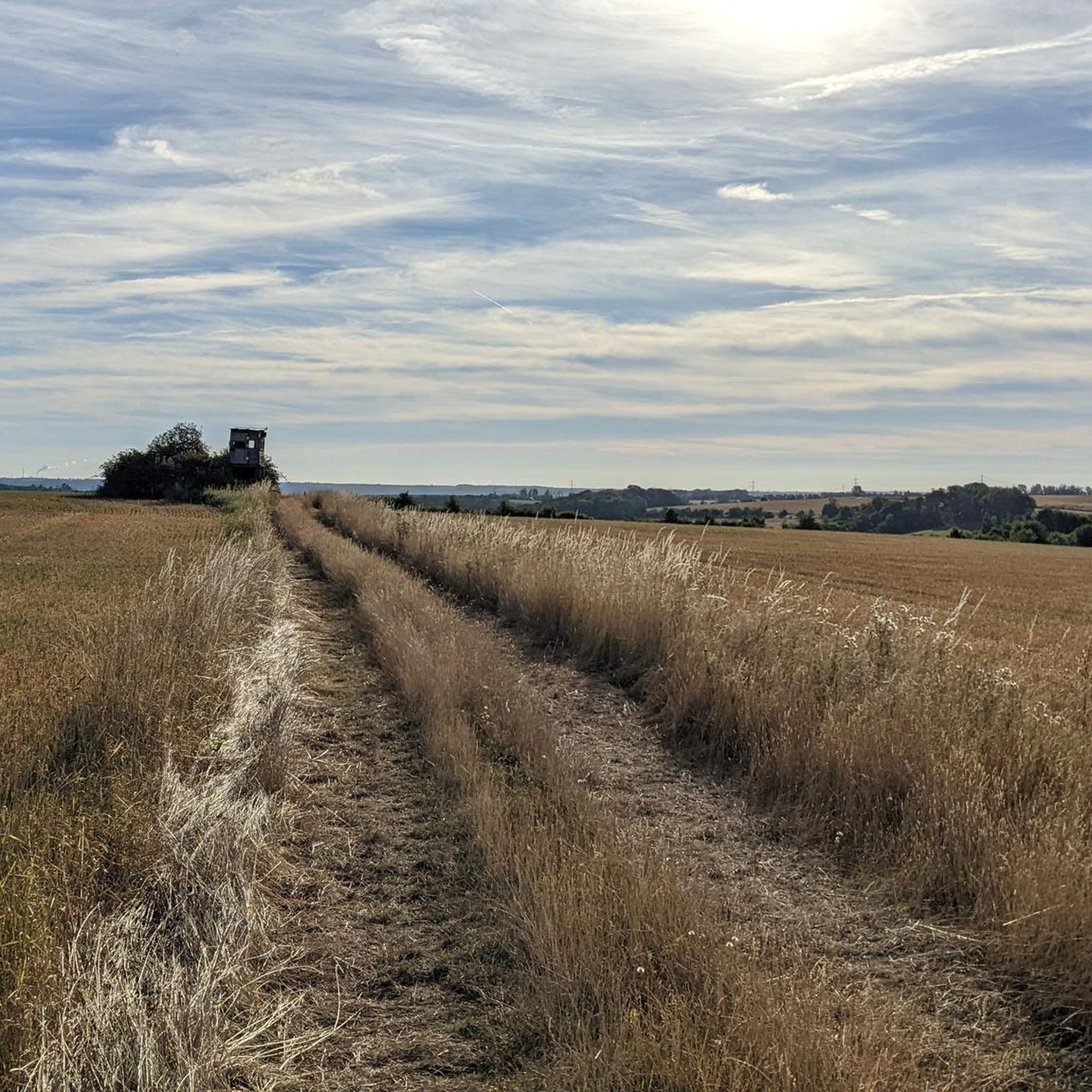
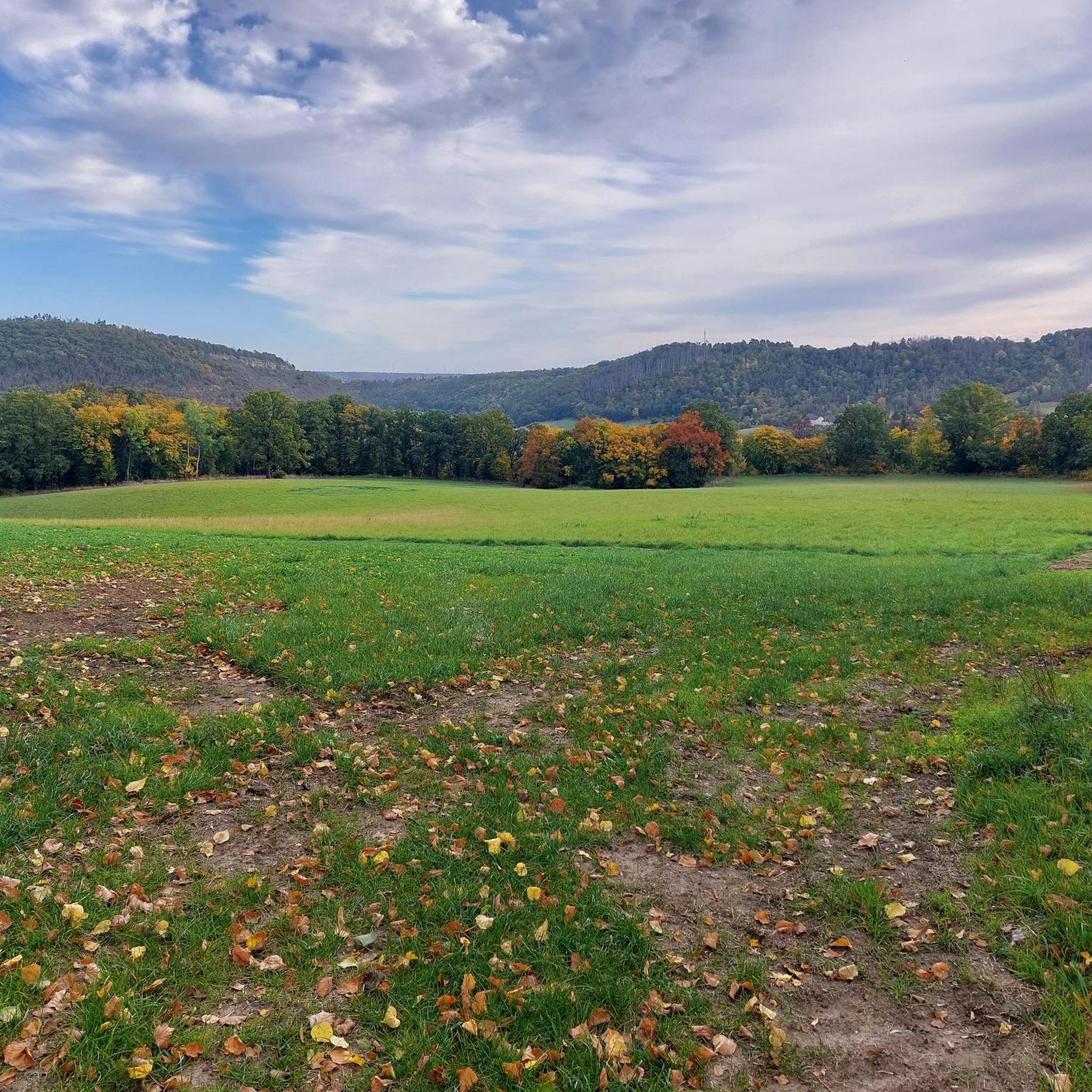
Tips from the Community

Beautiful hiking trail up to the Mittelberg. Follow the sun marking.
1
0

At the site where the Nebra Sky Disk was discovered, a 30-meter-high observation tower now stands on the Mittelberg mountain. The modern tower is tilted 10° and oriented north-south, like a sundial hand. It provides a view of astronomically significant points such as the Brocken and makes Bronze Age celestial observations more comprehensible. The tower symbolizes the interplay of heaven, earth, and humanity—then as it does today—and is freely accessible to visitors at all times.
6
0

The tower or pavilion stands a little way off, a few meters from the path.
1
0

Very nice resting place with a beautiful view. We hung our crafted bee here. Let's see how long it stays there 😊
1
0
On foot, by bike or by bus 😉 Decide for yourself
0
0
Everyone has to decide for themselves whether to walk up or down the hiking trail 😉
0
0
Forest pavilion with a view of the sky. Please duck your head when entering 😉
0
0
Forest pavilion with a view of the sky. Duck your head when you enter. 😉 There is an information board that you should read through.
1
0
Frequently Asked Questions
How many hiking trails are available in Memleben-Buchaer Forst?
Memleben-Buchaer Forst offers a comprehensive network of over 300 hiking trails. These routes cater to various preferences, including over 170 easy trails, 130 moderate options, and more than 25 challenging paths for experienced hikers.
What kind of terrain can I expect when hiking in Memleben-Buchaer Forst?
The terrain in Memleben-Buchaer Forst is characterized by dense woodlands and rolling hills, offering a diverse and engaging hiking experience. You'll find well-maintained paths winding through forests, with occasional gentle ascents and descents.
Are there any family-friendly hiking routes in Memleben-Buchaer Forst?
Yes, Memleben-Buchaer Forst has numerous family-friendly options. Many of the easy trails are suitable for families. For example, the Mittelberg Lookout Tower – Mittelberg Observation Tower loop from Kleinwangen is an easy 4.7 km route that offers a great experience for all ages, leading to a significant historical site.
Are dogs allowed on the hiking trails in Memleben-Buchaer Forst?
Generally, dogs are welcome on the hiking trails in Memleben-Buchaer Forst. It's always recommended to keep your dog on a leash, especially in forested areas or near wildlife, and to respect local regulations. Most trails are suitable for a walk with your canine companion.
What interesting landmarks or attractions can I see along the hiking trails?
Hiking in Memleben-Buchaer Forst offers a blend of nature and history. You can explore culturally significant sites like the Bronze Age Burial Mounds of Memleben or visit the Wangen Church. Many trails, such as the Mittelberg Lookout Tower – Arche Nebra loop from Steinklöbe, lead to the Mittelberg Observation Tower, the discovery site of the Nebra Sky Disc, offering panoramic views and historical context.
Are there circular hiking routes available?
Yes, many of the trails in Memleben-Buchaer Forst are designed as circular routes, allowing you to start and end at the same point. An example is the Unstrut Bridge (Wangen) – Wangen Church loop from Kleinwangen, a moderate 10.8 km loop that explores the local landscape.
What is the best time of year to go hiking in Memleben-Buchaer Forst?
Memleben-Buchaer Forst is enjoyable for hiking throughout much of the year. Spring brings lush greenery, while autumn offers beautiful foliage. Summer is ideal for long days on the trails, and even mild winter days can be pleasant for a crisp forest walk. Always check local weather conditions before heading out.
Is there parking available near the trailheads?
Yes, parking is generally available at various access points and trailheads throughout Memleben-Buchaer Forst, especially near popular starting points for routes that lead to attractions like the Mittelberg Observation Tower or the Arche Nebra hiking trail. Specific parking information can often be found on individual route descriptions.
Can I reach the hiking areas by public transport?
While some areas might be accessible by local bus services, public transport options directly to all trailheads in Memleben-Buchaer Forst may be limited. It's advisable to check regional bus schedules or consider driving to the main starting points for the most convenient access to the hiking network.
What do other hikers enjoy most about Memleben-Buchaer Forst?
The area is highly rated by the komoot community, with an average score of 4.5 stars from over 1800 reviews. Hikers frequently praise the diverse network of trails, the peaceful forested environment, and the unique combination of natural beauty with significant historical sites like the Nebra Sky Disc discovery site.
Are there any longer, more challenging hikes in the region?
Yes, for those seeking a longer and more challenging experience, Memleben-Buchaer Forst offers several moderate to difficult routes. The Arche Nebra – Arche Nebra hiking trail loop from Wangen (Unstrut) is a moderate 13.3 km path that explores varied forest terrain and historical areas, providing a good workout.
Most popular routes in Memleben-Buchaer Forst
Most popular attractions in Memleben-Buchaer Forst

Get inspired with the komoot mobile app


Explore more
Browse the best Hikes in other regions.
