The best road cycling routes in Löhlitzer Wald
4.8
(276)
2,496
riders
97
rides
Road cycling routes in Löhlitzer Wald are situated in the Upper Franconian district of Bayreuth, Germany, characterized by its forested terrain. While the immediate forest area is predominantly natural, the broader region offers varied cycling opportunities. The landscape includes a mix of paved and unpaved sections on cycle paths, with some routes featuring gentle gradients. The area provides access to regional cycle networks that traverse diverse Upper Franconian landscapes.
Best road cycling routes in Löhlitzer Wald
- The most popular road…
Last updated: October 1, 2026
5.0
(1)
8
riders
31.0km
01:32
360m
360m
Moderate road ride. Good fitness required. Mostly well-paved surfaces and easy to ride.
5.0
(1)
11
riders
70.2km
03:15
790m
790m
Moderate road ride. Good fitness required. Mostly well-paved surfaces and easy to ride.

4.8
(139)
799
riders
Moderate road ride. Good fitness required. Mostly well-paved surfaces and easy to ride.
5.0
(1)
16
riders
Easy road ride. Great for any fitness level. Mostly well-paved surfaces and easy to ride.
12
riders
47.5km
02:10
500m
510m
Moderate road ride. Good fitness required. Mostly well-paved surfaces and easy to ride.
Get access to more routes and recommendations from other explorers.
Already have an account?
Our route recommendations are based on thousands of hikes, rides, and runs completed by other people on komoot.
Start today with a free account
Your next adventure awaits.
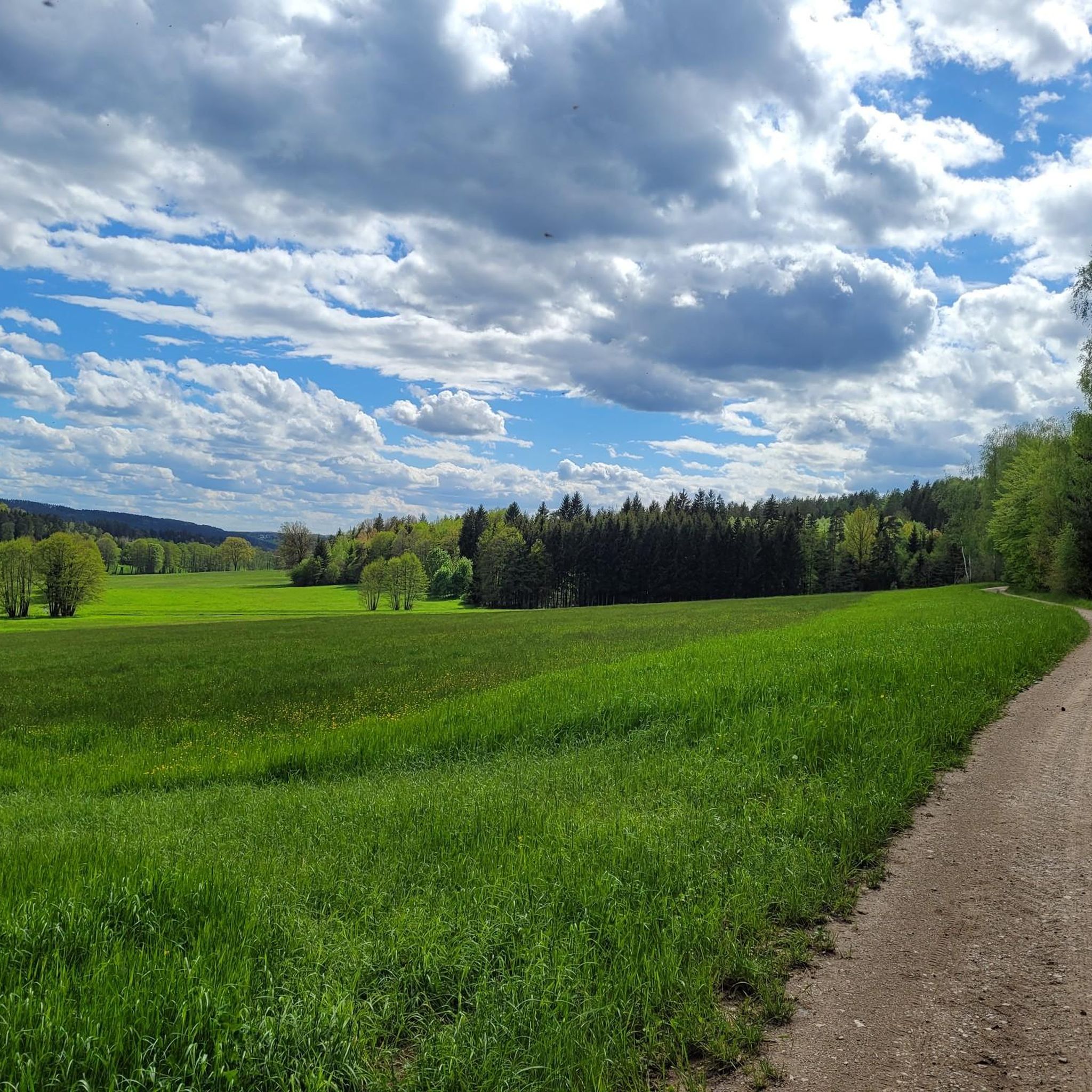
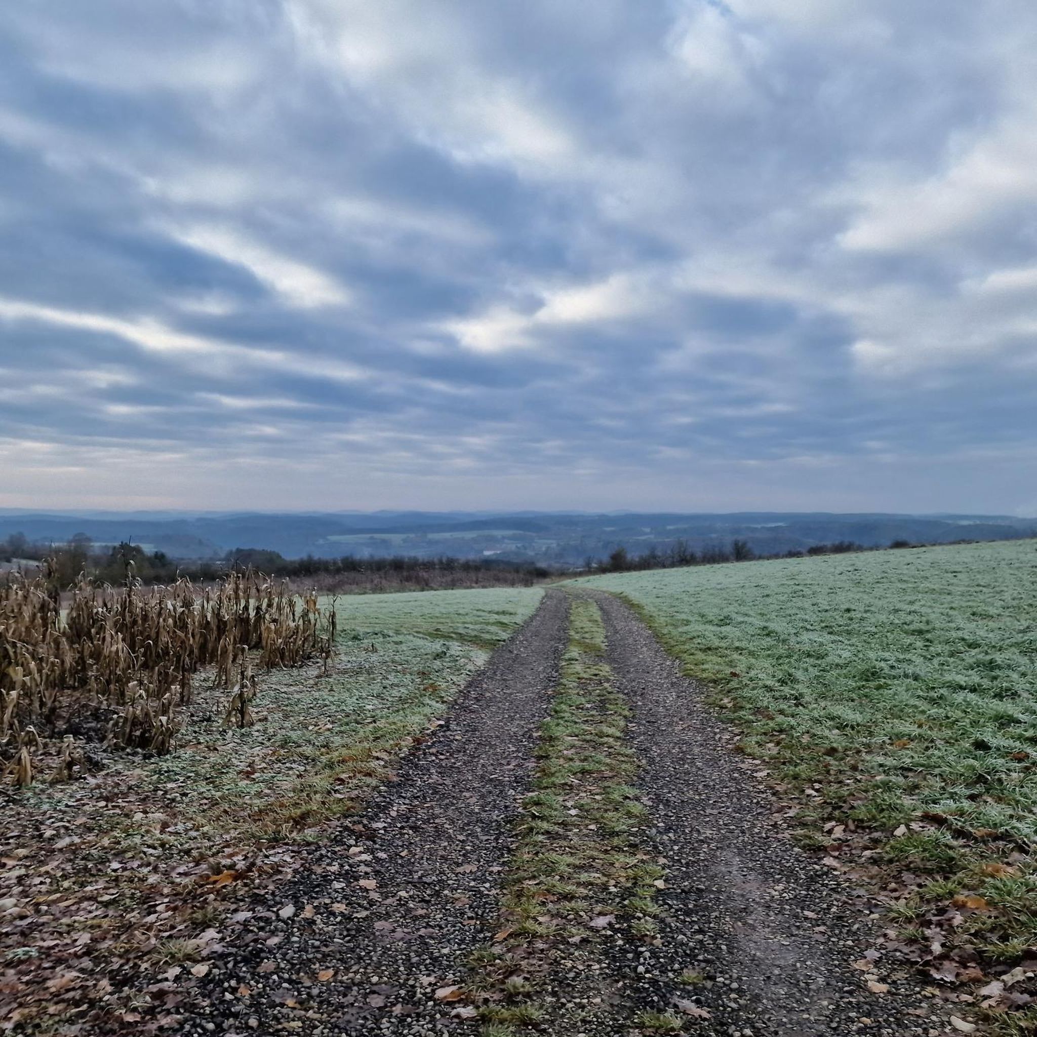
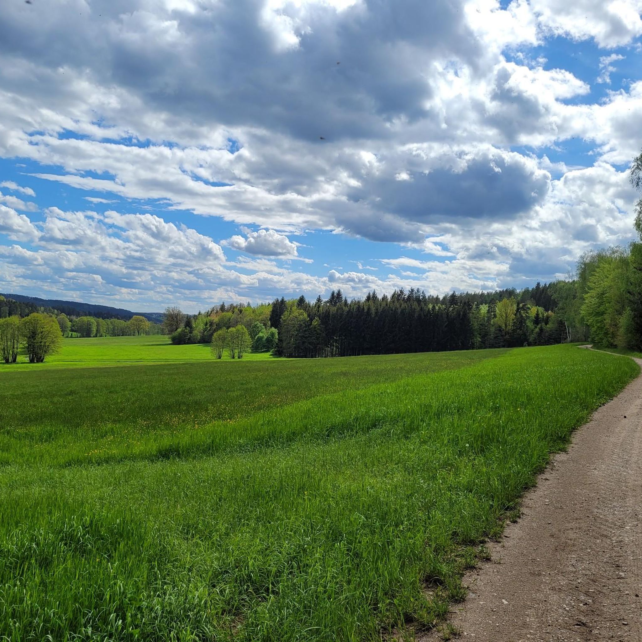
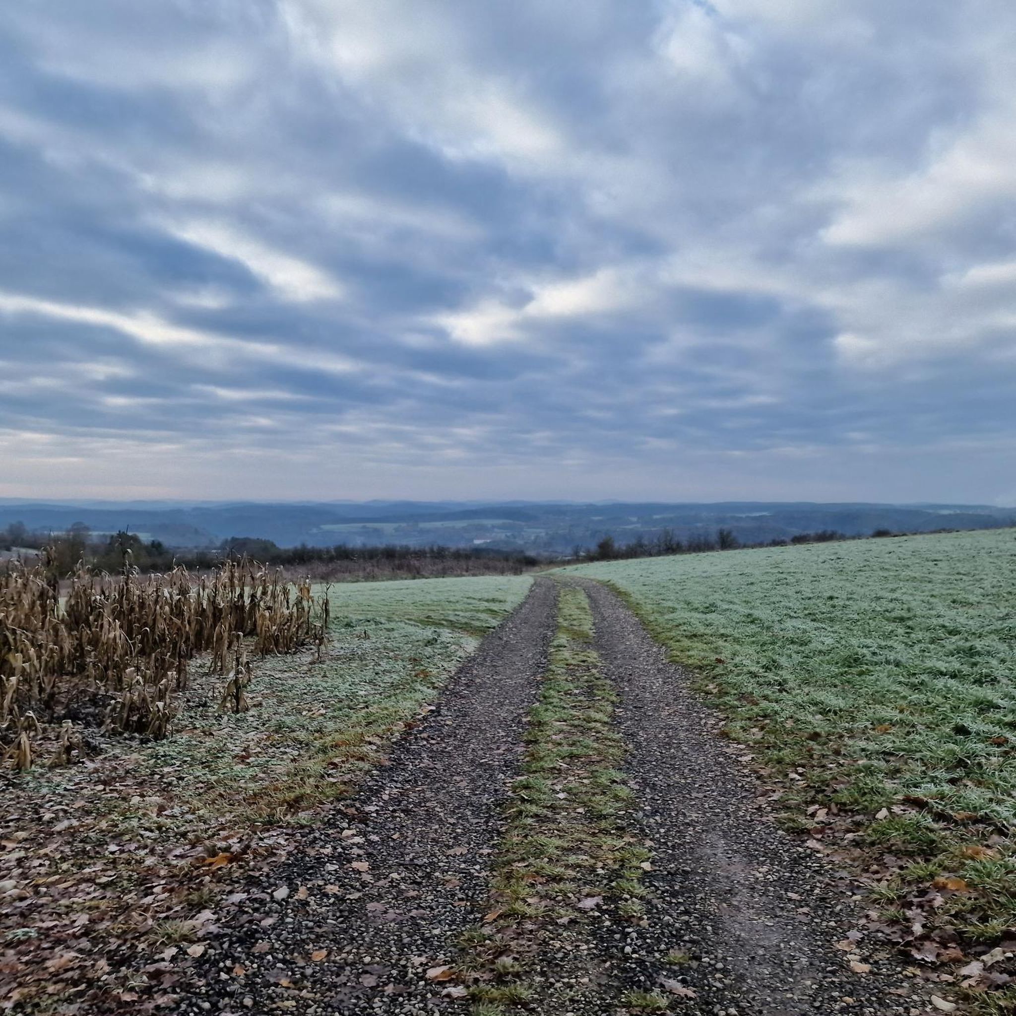
Tips from the Community

The Rote Main is the longer of the two headwaters of the Main river and significantly shapes the cityscape of Bayreuth. The river owes its name to the clay-rich soils of its catchment area. Especially after rainfall, reddish clay particles are washed into the water, giving it a characteristic reddish-brown color. It originates in the Lindenhardter Forst in the Franconian Switzerland, about 10 kilometers south of Bayreuth. At around 72 to 73 kilometers, it is significantly longer than the Weiße Main. Near Kulmbach (Schloss Steinenhausen), it merges with the Weiße Main to form the actual Main.
3
0

My favorite valley for everything in Franconia
1
0

This is our recommendation for a stop. Delicious food and super friendly service. In summer, there's lovely seating in the beer garden.
0
0

The Bayreuth–Hollfeld railway line was a branch line. It branched off the Schnabelwaid–Bayreuth railway line at the Kreuzstein junction in Bayreuth and led to Hollfeld in northern Franconian Switzerland.
1
0

Beautiful view of the valley
1
0

Situated high above the valley on a rocky crown, the core probably dates back to the 12th century
1
0

Top cycle path, great to ride and in the middle of nature.
1
0
Frequently Asked Questions
How many road cycling routes are available in Löhlitzer Wald?
There are nearly 100 road cycling routes available in the Löhlitzer Wald region, catering to various skill levels. You'll find options ranging from easy to difficult, with 14 easy routes, 67 moderate routes, and 17 difficult routes to explore.
What kind of terrain can I expect on road cycling routes in Löhlitzer Wald?
While Löhlitzer Wald itself is predominantly forested, the surrounding region offers varied terrain. You can expect a mix of paved and unpaved sections on cycle paths. The broader Upper Franconia region, including routes like the Wiesent Valley Cycle Path, features a blend of asphalt, ground, and gravel. For more consistently paved surfaces, the nearby Main Cycle Route is known for its high-quality infrastructure, with approximately 90% asphalted paths.
Are there road cycling routes suitable for beginners in Löhlitzer Wald?
Yes, the Löhlitzer Wald region offers 14 easy road cycling routes. These routes typically feature gentle gradients and accessible paths, making them suitable for beginners or those looking for a more relaxed ride. An example of an easy route is the Riese Fountain on the Neubürg – Obernsees Cultural Barn loop from Plankenfels, which covers about 22.6 km.
What are some popular moderate-difficulty road cycling routes in the area?
Many road cyclists enjoy the moderate routes in Löhlitzer Wald. A popular choice is the Hummeltal–Mistelgau Cycle Path – View from Lenz loop from Wohnsgehaig, which is about 31.1 km long. Another favorite is the Hummeltal–Mistelgau Cycle Path – Mistelbach Cycle Path loop from Mistelgau (VGem), offering a longer ride of approximately 56.2 km.
Are there any challenging road cycling routes for experienced riders?
Yes, for experienced riders seeking a challenge, there are 17 difficult road cycling routes in the Löhlitzer Wald region. These routes often feature more significant elevation changes and longer distances. While specific examples of 'difficult' routes are not detailed here, they are designed to test endurance and skill.
What landmarks or natural features can I see along the road cycling routes?
While cycling, you can encounter various points of interest. The region is close to the Teufelsloch (Devil's Hole) nature reserve near Oberwaiz, known for its romantic gorge landscape and small waterfalls. Some routes, like the View of Rabeneck Castle – View of Egloffstein Castle loop from Nankendorf, offer scenic views of historic castles. Additionally, the Hummeltal–Mistelgau Cycle Path – Fantaisie Palace and Park loop from Plankenfels passes by the beautiful Fantaisie Palace and Park.
Are there any places to stop for refreshments or food near the cycling routes?
Yes, the region offers options for refreshments. The historic Held inn and brewery in Oberailsfeld is a family-owned establishment with over 300 years of history, serving a selection of Upper Franconian beers and featuring an idyllic beer garden in summer. This can be a pleasant stop during or after your ride.
What is the best time of year for road cycling in Löhlitzer Wald?
The best time for road cycling in Löhlitzer Wald generally aligns with warmer, drier months, typically from spring through early autumn. During these periods, paths are clear, and the weather is more conducive to cycling. While the Teufelsloch nature reserve is particularly striking in winter with ice formations, road cycling might be more challenging due to colder temperatures and potential icy conditions.
Are there any long-distance road cycling options in the broader Upper Franconia region?
Yes, for longer distances, the broader Upper Franconia region offers excellent options. The Main Cycle Route, recognized as a premier cycling destination in Germany, is accessible from the area. It features mostly asphalted paths and follows the Main River, providing gentle gradients and scenic views through varied landscapes, ideal for longer road cycling tours.
What do other road cyclists enjoy most about road cycling in Löhlitzer Wald?
The area is highly rated by the komoot community, with an average score of 4.7 stars from over 240 reviews. Reviewers often praise the varied Upper Franconian landscapes, the network of regional cycle paths, and the options for different difficulty levels, from easy to challenging rides.
Are there loop routes available for road cycling in Löhlitzer Wald?
Yes, many of the road cycling routes in Löhlitzer Wald are designed as loops, allowing you to start and end your ride at the same point. Examples include the Hummeltal–Mistelgau Cycle Path – View from Lenz loop from Wohnsgehaig and the View of Rabeneck Castle – View of Egloffstein Castle loop from Nankendorf, providing convenient circular tours.
Is public transport available to access road cycling routes in the Löhlitzer Wald region?
While specific public transport connections directly to trailheads within Löhlitzer Wald are not detailed, the broader Upper Franconia region is generally well-connected. For routes like the Main Cycle Route, public transport options often exist to reach various starting points along the river, allowing for flexible planning of your cycling trips.
What are the typical distances and durations for road cycling routes in Löhlitzer Wald?
The routes in Löhlitzer Wald vary significantly in distance and duration. Easy routes might be around 20-30 km, taking 1-2 hours. Moderate routes, such as the Hummeltal–Mistelgau Cycle Path – Mistelbach Cycle Path loop from Mistelgau (VGem), can be around 56 km and take over 2.5 hours. Longer, more challenging routes can extend to 70 km or more, requiring over 3 hours to complete.
Most popular routes in Löhlitzer Wald

Get inspired with the komoot mobile app


Explore more
Browse the best Road cycling routes in other regions.
