The best walks and hikes in Osterspaier Wald
4.5
(25941)
91,117
hikers
993
hikes
Hiking in Osterspaier Wald offers a network of trails through dense woodlands and along the Rhine River. The region is characterized by rolling hills and varied terrain, providing elevated viewpoints over the river valley. These paths navigate through the natural landscape of the Rhein-Lahn-Kreis, featuring a mix of forest tracks and open sections.
Best hiking trails in Osterspaier Wald
- The most popular hiking route is Self-Talk Telephone Booth – View of Der Ritt (Rhine River) loop from Spay, a…
Last updated: October 4, 2026
4.8
(555)
2,103
hikers
29.5km
09:04
1,040m
1,040m
Hard hike. Very good fitness required. Easily-accessible paths. Suitable for all skill levels.
4.8
(352)
1,226
hikers
6.04km
01:42
130m
130m
Easy hike. Great for any fitness level. Easily-accessible paths. Suitable for all skill levels.

4.8
(29)
137
hikers
17.3km
05:10
350m
350m
Hard hike. Very good fitness required. Sure-footedness, sturdy shoes and alpine experience required.
5.0
(2)
26
hikers
6.35km
01:38
30m
30m
Easy hike. Great for any fitness level. Easily-accessible paths. Suitable for all skill levels.
5.0
(3)
15
hikers
3.48km
01:05
130m
130m
Easy hike. Great for any fitness level. Easily-accessible paths. Suitable for all skill levels.
Get access to more routes and recommendations from other explorers.
Already have an account?
Our route recommendations are based on thousands of hikes, rides, and runs completed by other people on komoot.
Start today with a free account
Your next adventure awaits.
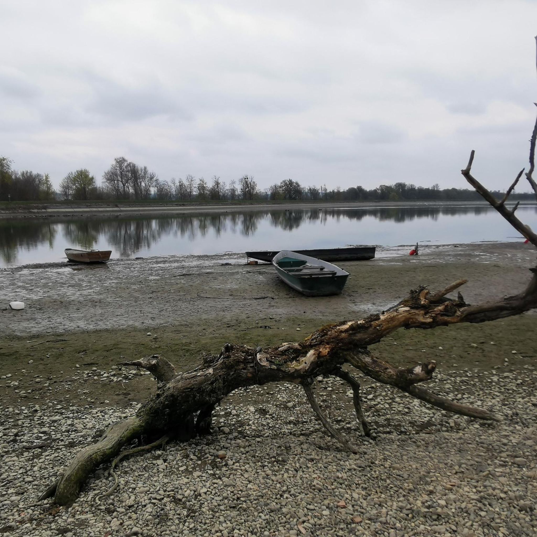
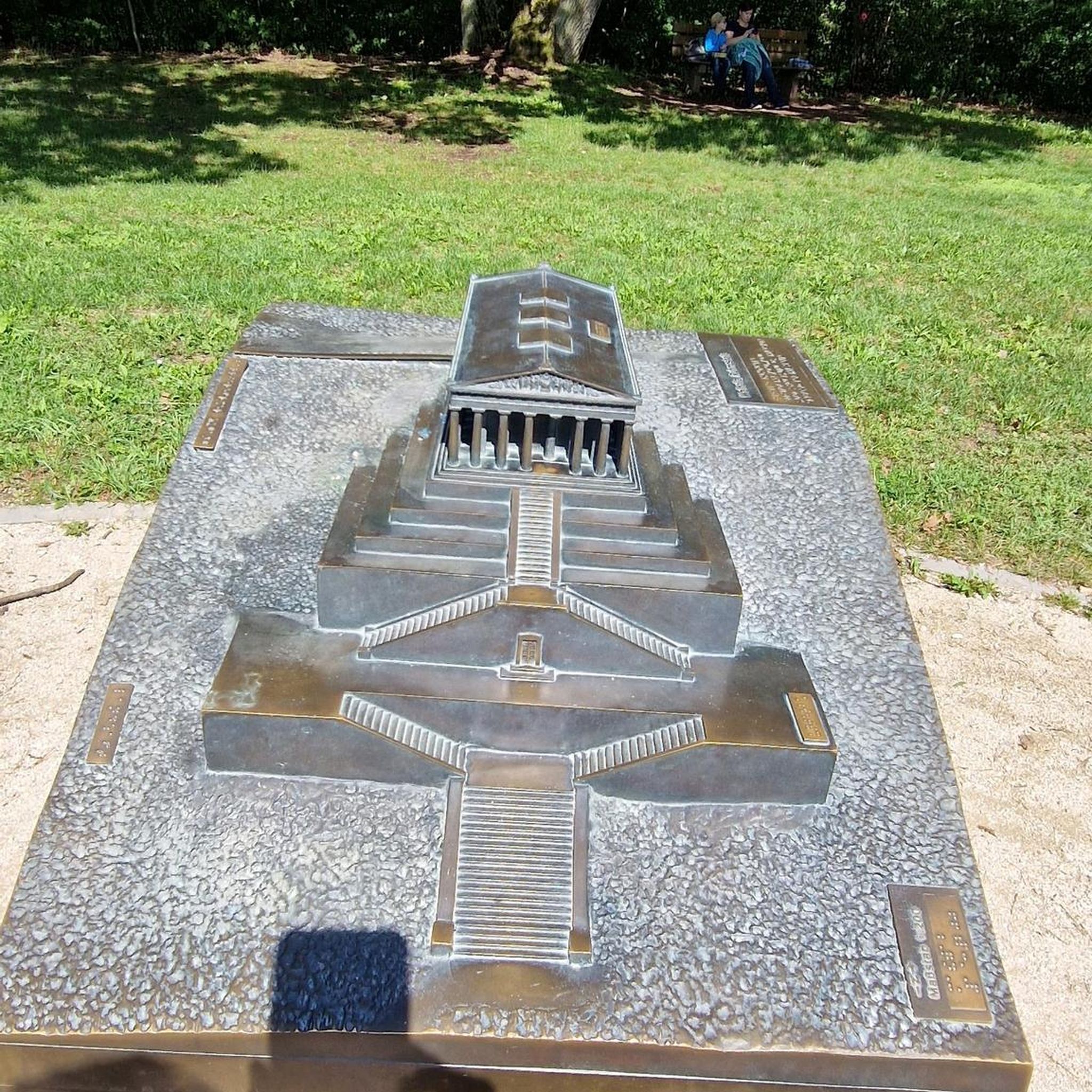
Tips from the Community

The telephone symbolizes the connection with nature and the past – a playful contrast to our modern, digital world. It reminds us how important communication and exchange have always been – even if it's just about a fun experience.
0
0

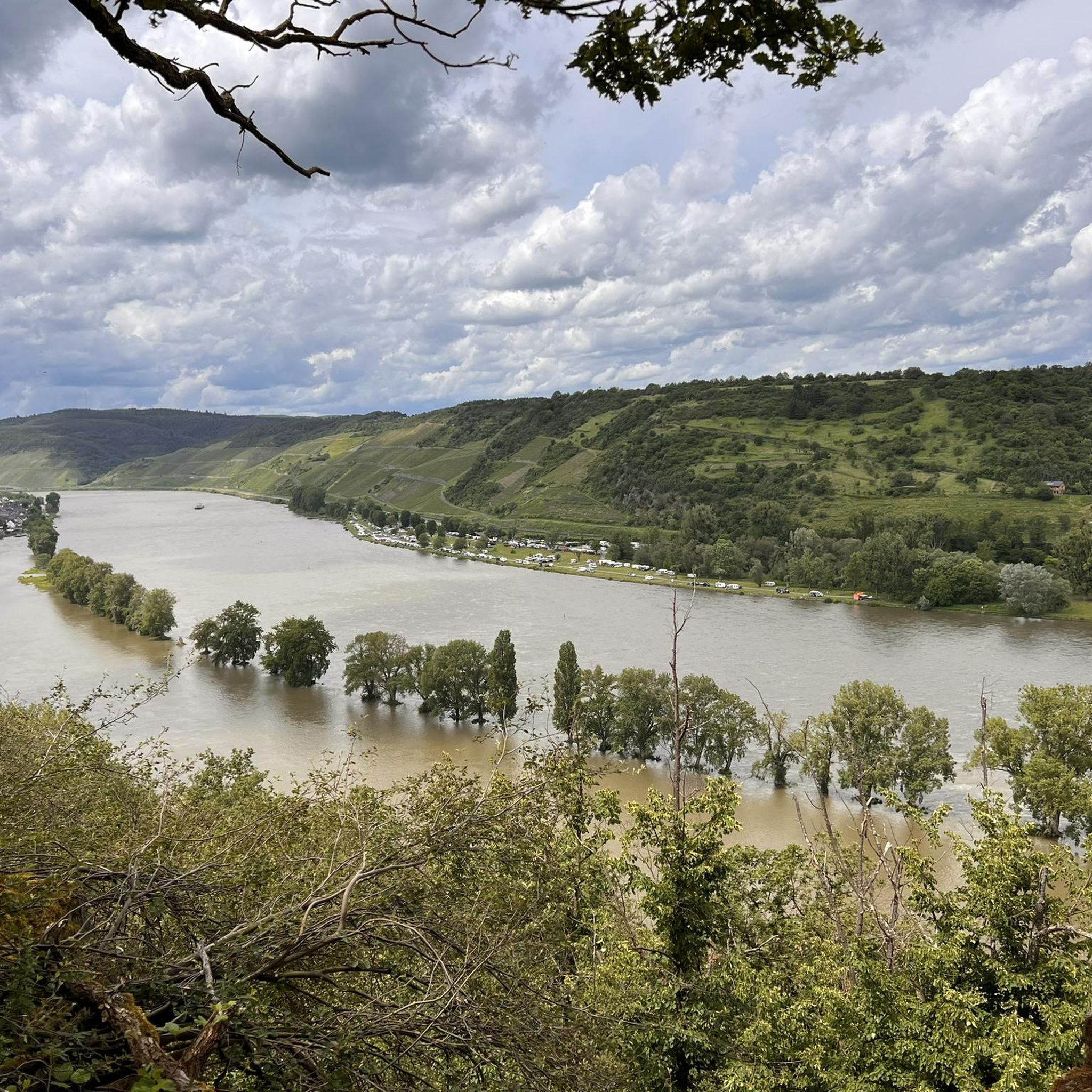
One of many great views on the Rheinsteig
0
0

Signposted refuge, located a little off the Rheinsteig. The refuge is the perfect place to enjoy the breathtaking view of the Rhine. Here you can relax after a hike and experience nature to the fullest. The hut offers space for a cozy picnic with friends or family.
1
0

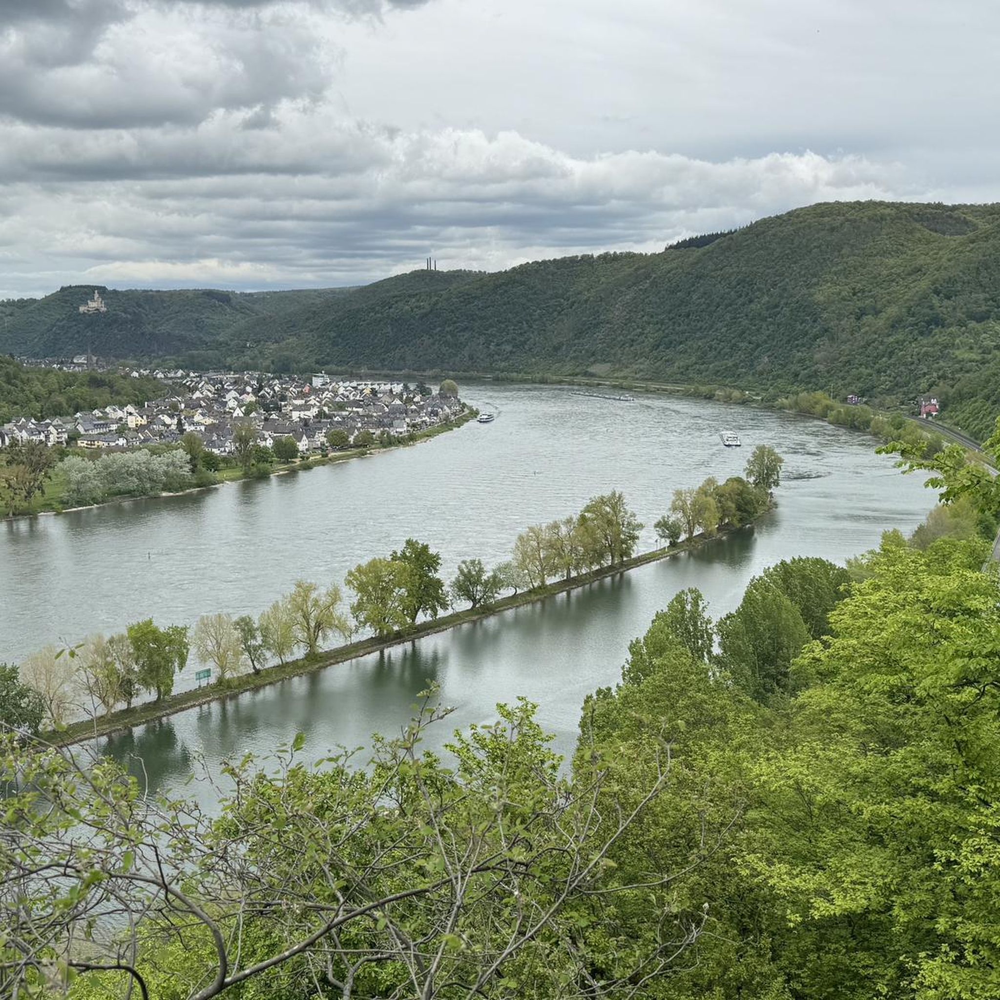
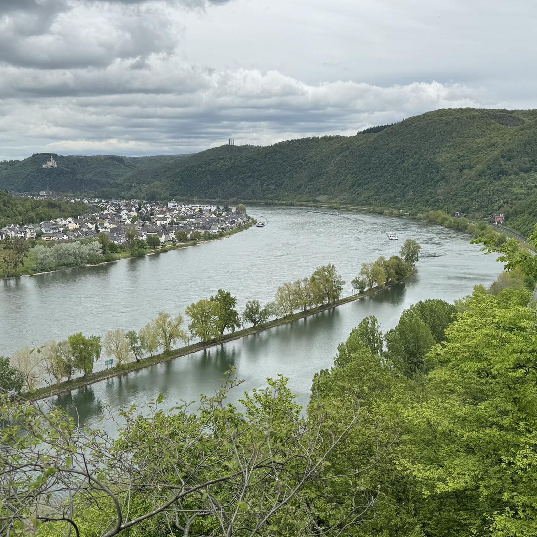
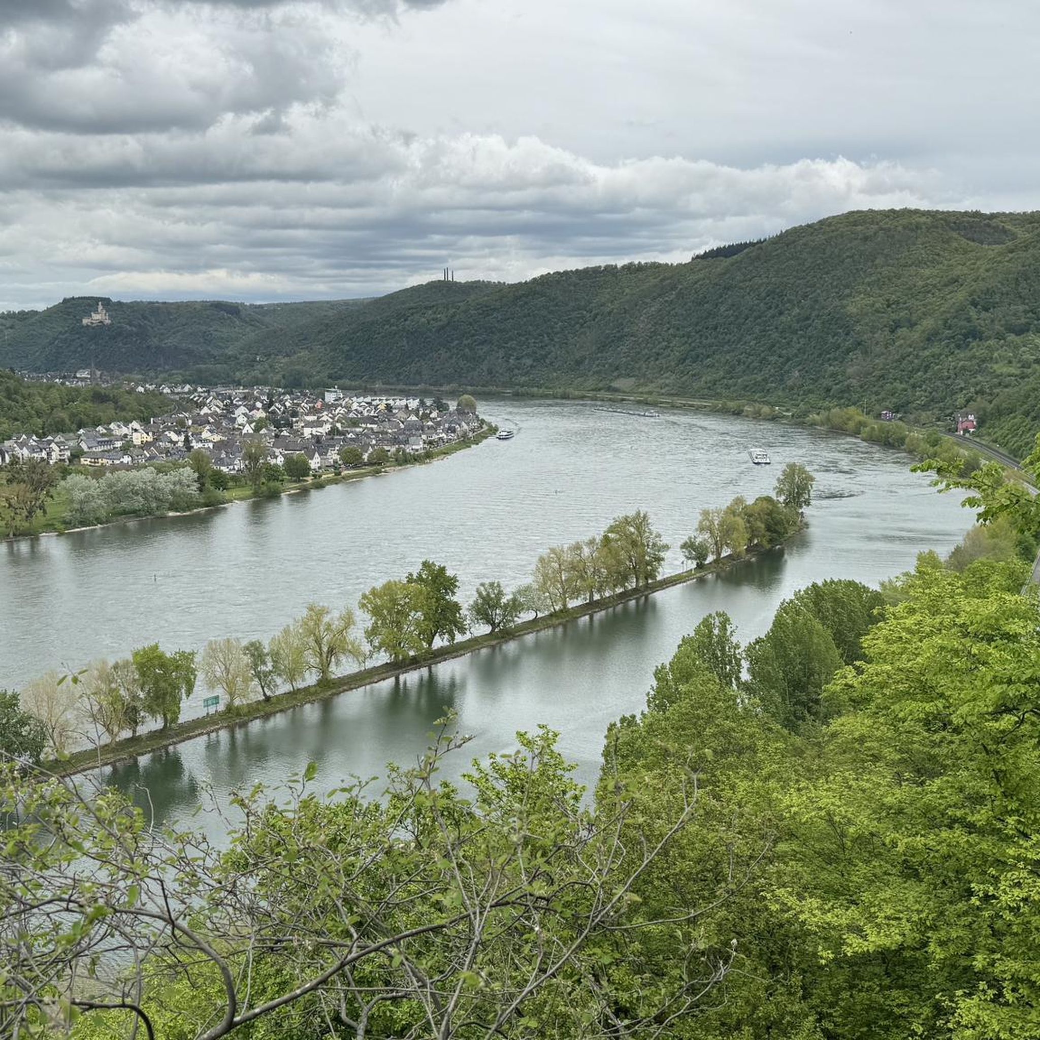
From the viewpoint you have a great view of Osterspai and the Rhine bend.
2
0

A good opportunity to stop for a bite to eat after the hike. Unfortunately, the hut is closed on Sundays. Even a short while later, in the town of Spay, we couldn't find a vending machine, kiosk, or restaurant on Sunday.
0
0
Every year, on the weekend after Corpus Christi, the MTB Marathon takes place here. It's completely unsuitable for hiking, or even dangerous.
0
0

There are many nice little things to discover along the way - the phone for talking to yourself is one of them
1
0

At the second drinks station there is 🍻
0
0
Frequently Asked Questions
How many hiking trails are available in Osterspaier Wald?
Osterspaier Wald offers a wide selection of routes, with over 980 hiking trails recorded on komoot. These range from easy forest walks to more challenging climbs, catering to various fitness levels.
Are there easy or family-friendly hiking options in Osterspaier Wald?
Yes, Osterspaier Wald has numerous easy and family-friendly trails. More than 530 routes are classified as easy. A good option for families is the Weingart Winery Picnic Area loop from Osterspai, which is 3.9 miles (6.3 km) and leads to a picnic area, often passing through local vineyards.
What are the typical durations for hikes in Osterspaier Wald?
Hike durations in Osterspaier Wald vary significantly. Many popular routes, like the Self-Talk Telephone Booth – View of Der Ritt (Rhine River) loop from Spay, can be completed in under two hours. Longer, more challenging trails, such as the View of Marksburg Castle – View of the Boppard Rhine Bend loop from Braubach, can take over eight hours.
Are there any circular hiking routes in Osterspaier Wald?
Many of the trails in Osterspaier Wald are designed as circular routes, allowing you to start and end at the same point. For example, the Pilgrimage route – Self-Talk Telephone Booth loop from Osterspai is a moderate 4.2 miles (6.8 km) loop.
What kind of viewpoints can I expect on hikes in Osterspaier Wald?
The region is known for its elevated viewpoints offering stunning vistas of the Rhine River valley. You can find highlights like the View of the Rhine and the Marksburg from Kipplei-Spitze or the View of the Osterspaier Ritt. The Rhine Swing with Views over the Middle Rhine Valley is another popular spot.
Is the Langhalsweg Trail accessible for hikers?
Yes, the Langhalsweg Trail is a notable feature in Osterspaier Wald. You can explore a section of it on the Entrance to Langhalsweg Trail – View of Der Ritt (Rhine River) loop from Osterspai, a moderate 4.6 miles (7.4 km) route. There's even a Langhalsbier station along the trail for a refreshment stop.
What natural attractions can be found along the hiking trails?
Beyond the scenic river views, hikers can discover natural monuments such as the Dinkholder Spring and explore the Stream valley in the Nassau nature reserve, offering diverse natural landscapes.
What do other hikers enjoy most about Osterspaier Wald?
The area is highly rated by the komoot community, with an average score of 4.6 stars from over 23,000 reviews. Hikers often praise the dense woodlands, the varied terrain, and the consistent views of the Rhine River.
Are there options for winter hiking in Osterspaier Wald?
While the guide focuses on general hiking, the dense woodlands of Osterspaier Wald can offer sheltered paths for winter walks, provided conditions are safe. Always check local weather and trail conditions before heading out in winter.
Are there any facilities or places to stop for refreshments along the trails?
Yes, some routes pass by facilities. For instance, the Weingart Winery Picnic Area loop from Osterspai leads to a picnic area. Additionally, the Langhalsbier station is a known stop along the Langhalsweg Trail.
What is the best time of year to hike in Osterspaier Wald?
The Osterspaier Wald is enjoyable throughout much of the year. Spring brings lush greenery, while autumn offers vibrant foliage. Summer is popular for longer days, and even mild winter days can be pleasant for a walk through the sheltered forests.
Most popular routes in Osterspaier Wald
Most popular attractions in Osterspaier Wald

Get inspired with the komoot mobile app


Explore more
Browse the best Hikes in other regions.
