The best road cycling routes in Barenbergsand
4.3
(91)
781
riders
126
rides
Road cycling routes in Barenbergsand traverse a landscape characterized by forests and open fields, often featuring routes around the Thülsfelder Reservoir. The terrain is generally flat with minimal elevation changes, making it suitable for various skill levels. This region offers a network of paths that connect local villages and natural areas.
Best road cycling routes in Barenbergsand
- The most popular road cycling route is Debbeler's Farm Café & Grill – Jetty at the Thülsfeld Dam loop from Mittelsten Thüle,…
Last updated: October 4, 2026
3.0
(2)
11
riders
Moderate road ride. Great for any fitness level. Some segments of this route may be unpaved and difficult to ride.
8
riders
Easy road ride. Great for any fitness level. Mostly well-paved surfaces and easy to ride.

3
riders
Moderate road ride. Good fitness required. Mostly well-paved surfaces and easy to ride.
5.0
(2)
12
riders
Moderate road ride. Good fitness required. Mostly well-paved surfaces and easy to ride.
1.0
(1)
5
riders
Easy road ride. Great for any fitness level. Mostly well-paved surfaces and easy to ride.
Get access to more routes and recommendations from other explorers.
Already have an account?
Our route recommendations are based on thousands of hikes, rides, and runs completed by other people on komoot.
Start today with a free account
Your next adventure awaits.

Tips from the Community

Beautiful footbridge including an information board in three languages about the Thülsfelder Talsperre.
2
0
Good parking lot with a rest area as a starting point for tours around the reservoir.
1
0

Nice little chapel with a memorial stone.
1
0

This route isn't 10 km, but 12 km. I've already run it about 7 times.
0
0
The Landcafé Peek is no longer open
1
0


Beautiful dam that is easy to get around by bike.
9
0

A great tour around the dam
3
0
Frequently Asked Questions
How many road cycling routes are available in Barenbergsand?
Barenbergsand offers a wide selection of road cycling routes, with over 130 tours available. These routes cater to various skill levels, including many easy and moderate options.
What is the typical terrain like for road cycling in Barenbergsand?
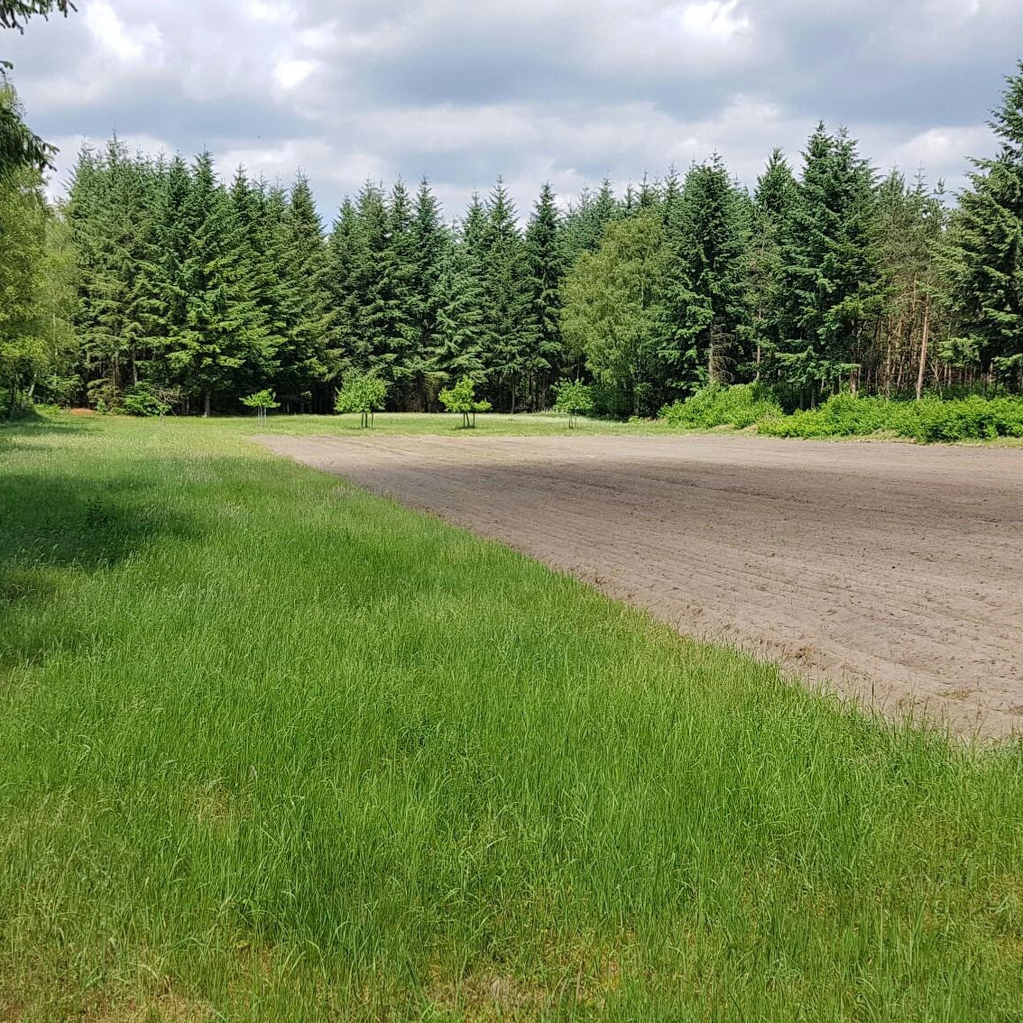
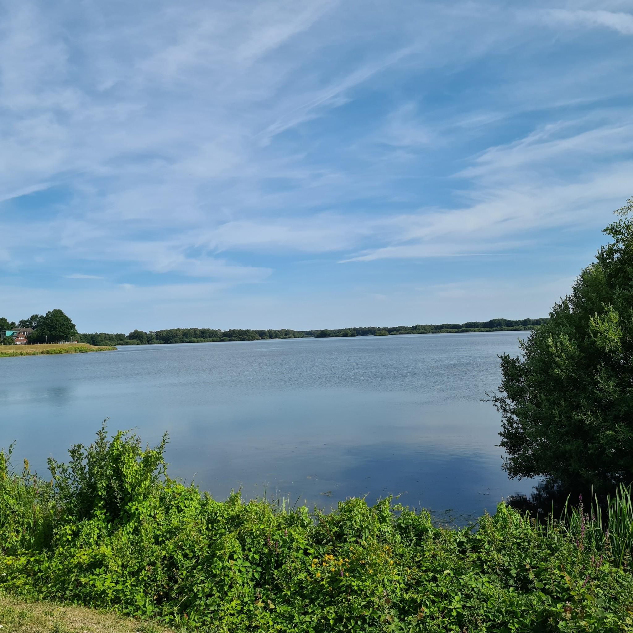
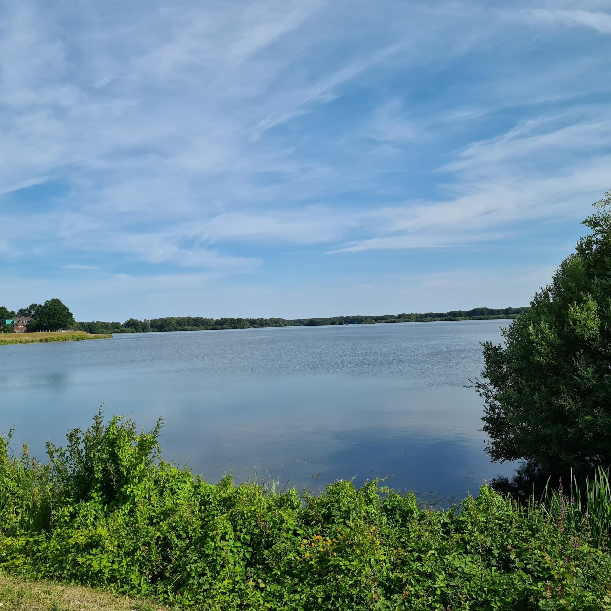
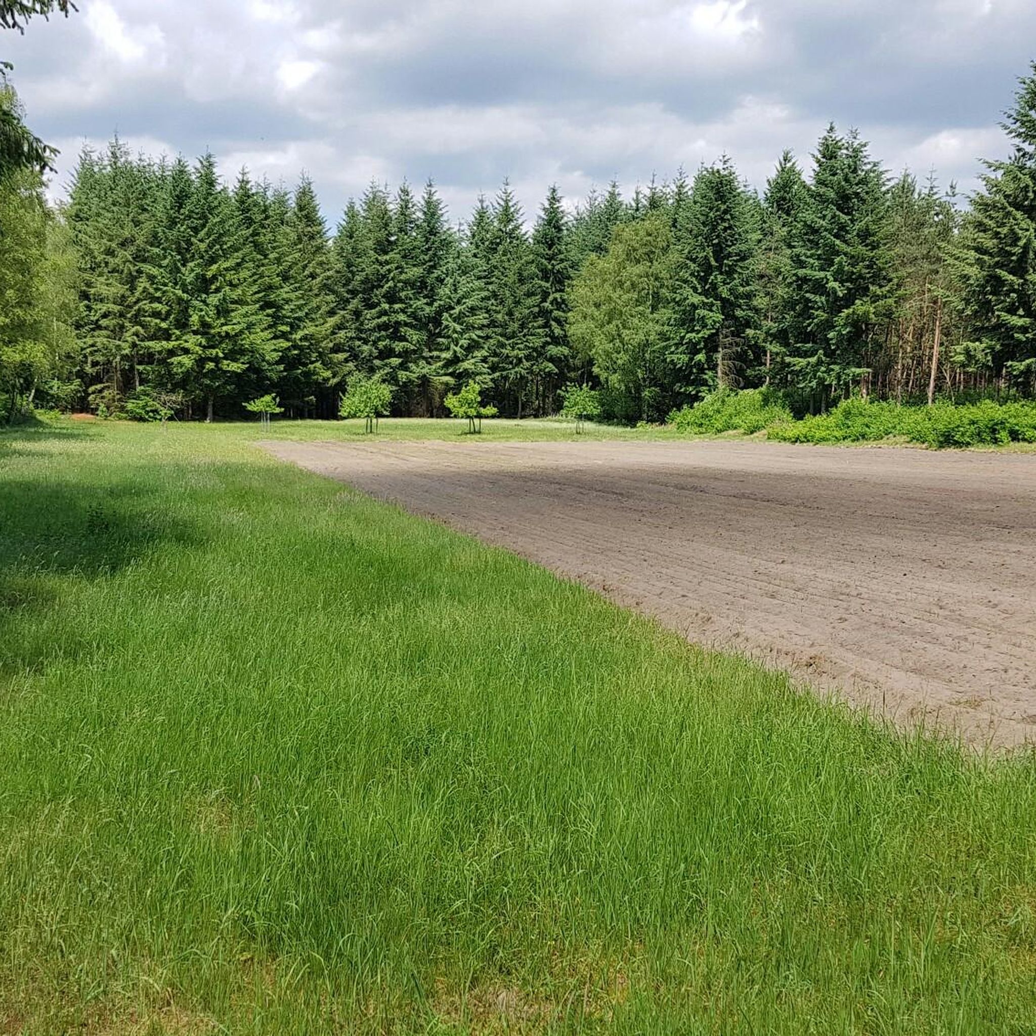
The terrain in Barenbergsand is generally flat with minimal elevation changes, making it suitable for a relaxed ride. Routes often traverse through forests and open fields, with many circling the Thülsfelder Reservoir.
Are there road cycling routes suitable for beginners or families in Barenbergsand?
Yes, Barenbergsand is well-suited for beginners and families due to its predominantly flat terrain. Many routes are classified as easy or moderate. An excellent option is the Thülsfelder Reservoir North Shore – Garrel Village Park loop from Ferienhaussiedlung "Am Stausee", which is an easy 11.5-mile (18.6 km) path offering pleasant views.
Are there any longer or more challenging road cycling routes for experienced riders?
While the region is generally flat, there are longer routes for those seeking more distance. For example, the Village pond in Vrees – Amtsbrunnen loop from Tier und Freizeitpark Thüle is a moderate 62.7-mile (100.9 km) route, providing a significant distance challenge with slightly more elevation than shorter local loops.
What kind of scenic views can I expect while road cycling in Barenbergsand?
Road cycling in Barenbergsand offers scenic views of the Thülsfelder Reservoir, tranquil forested sections, and expansive open countryside. You'll often find routes that connect local villages and natural areas, providing a diverse visual experience.
Are there any circular road cycling routes around the Thülsfelder Reservoir?
Yes, the Thülsfelder Reservoir is a central feature for many circular road cycling routes. A popular moderate option is the Debbeler's Farm Café & Grill – Jetty at the Thülsfeld Dam loop from Mittelsten Thüle, which is 14.5 miles (23.3 km) and features gentle gradients around the reservoir.
What are some popular points of interest or attractions along the road cycling routes?
Along the routes, you can explore several points of interest, particularly around the Thülsfelder Reservoir. Notable attractions include the Thülsfelder Reservoir North Shore and Spillway, the Thülsfelder Talsperre — Dam and Outlet, and The King sculpture at the Thülsfelder Reservoir. There's also the Kletterwald Nord, Thülsfelder Reservoir for other activities.
When is the best time of year for road cycling in Barenbergsand?
Given the region's characteristics of forests and open fields, spring, summer, and early autumn generally offer the most pleasant conditions for road cycling in Barenbergsand. These seasons provide comfortable temperatures and vibrant natural scenery.
What do other cyclists say about road cycling in Barenbergsand?
The road cycling routes in Barenbergsand are highly rated by the komoot community, with an average score of 4.3 stars from over 70 reviews. Cyclists often praise the flat terrain, the scenic routes around the Thülsfelder Reservoir, and the network of paths connecting local villages.
Are there any cafes or places to stop for refreshments along the routes?
Yes, some routes pass by or near establishments where you can stop for refreshments. For instance, the Debbeler's Farm Café & Grill – Jetty at the Thülsfeld Dam loop from Mittelsten Thüle explicitly mentions a farm café, indicating opportunities for breaks.
Can you recommend a less-known, 'hidden gem' road cycling route in Barenbergsand?
While specific 'hidden gems' are often discovered by local exploration, the Bicycle Repair Station – St. Johannes Church Markhausen loop from Mittelsten Thüle offers a pleasant ride through open countryside, away from the more frequented reservoir paths, which might appeal to those looking for a quieter experience.
What are the general distances and elevation gains for road cycling routes in Barenbergsand?
Routes in Barenbergsand vary in length, from shorter loops around 11-14 miles (18-23 km) to longer tours exceeding 60 miles (100 km). Elevation gains are typically minimal across all routes, reflecting the region's flat topography, with most routes featuring less than 100 meters of ascent.
Most popular routes in Barenbergsand
Most popular attractions in Barenbergsand

Get inspired with the komoot mobile app


Explore more
Browse the best Road cycling routes in other regions.
