The best walks and hikes in Barenbergsand
4.5
(4174)
14,233
hikers
41
hikes
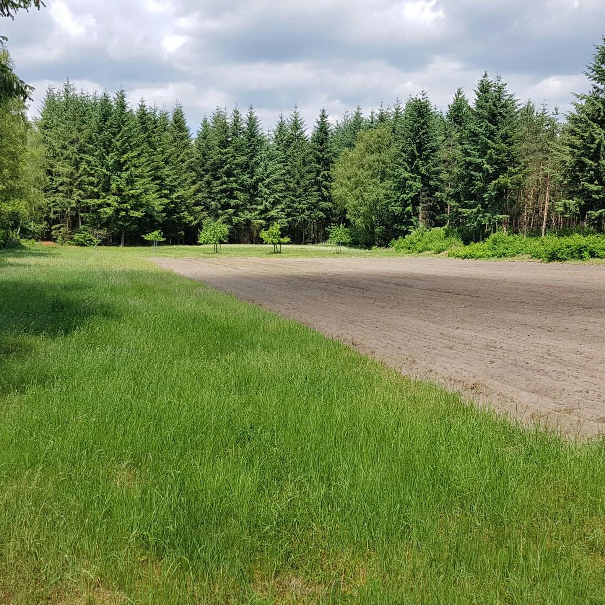
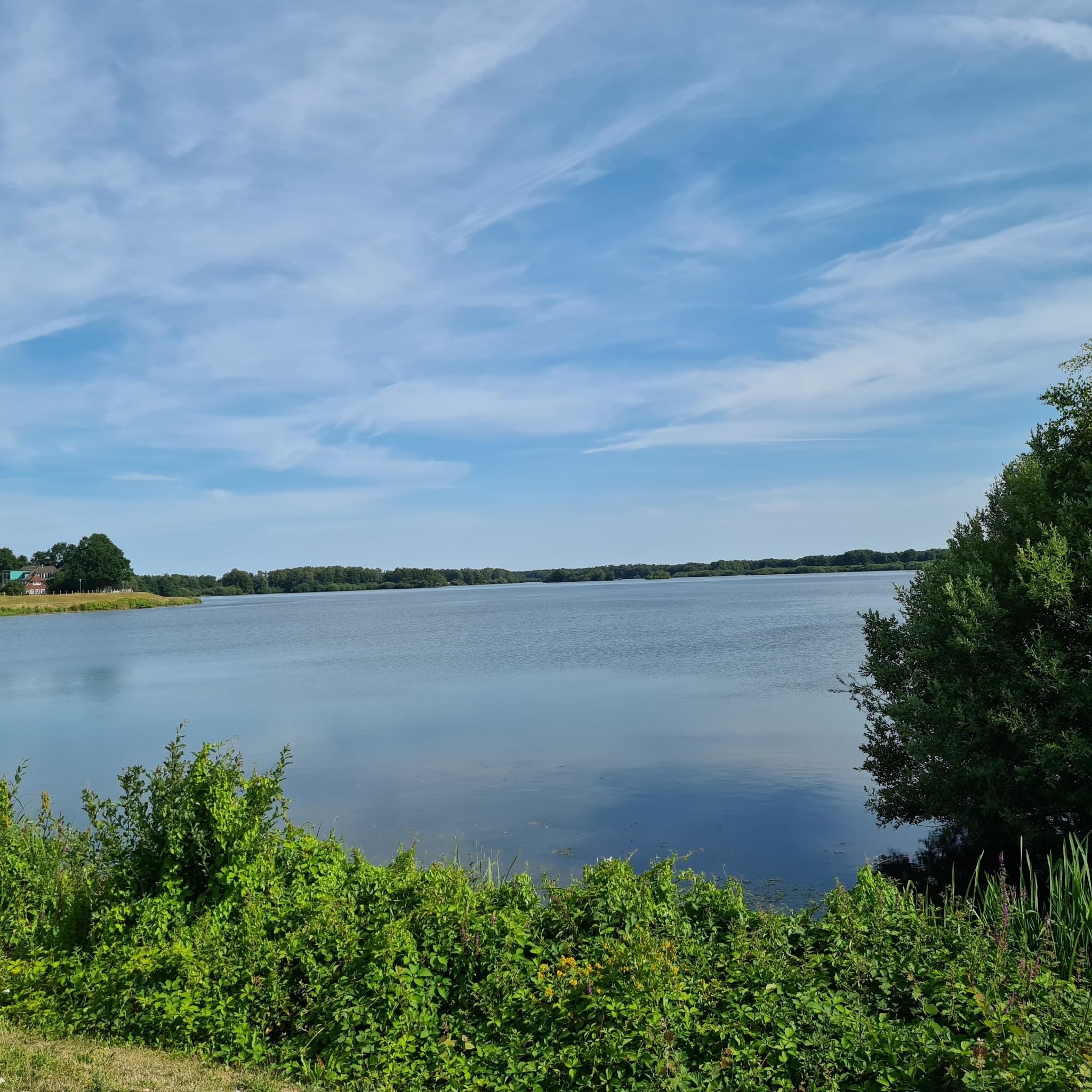
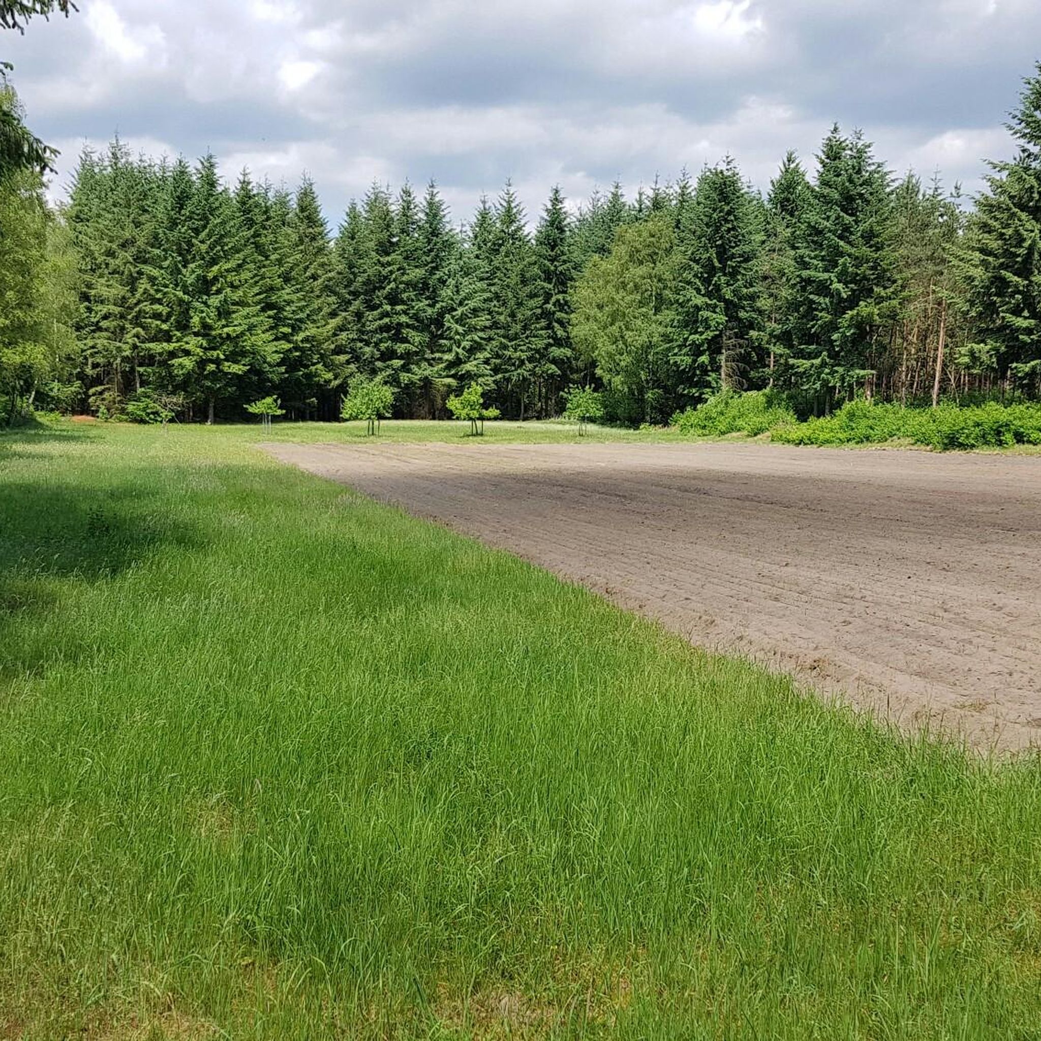
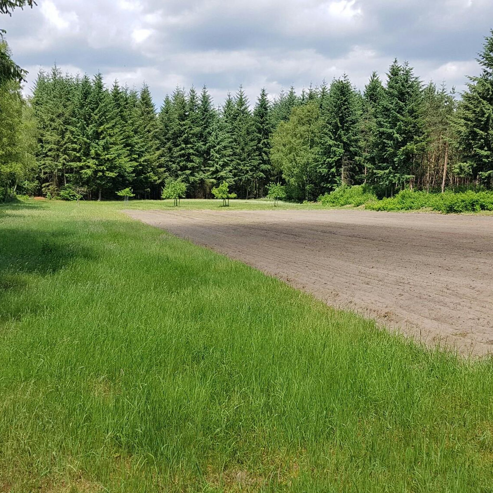
Hiking in Barenbergsand, located within the beautiful forest region of Cloppenburg, features a landscape characterized by extensive woodlands, heathland, and the Thülsfelder Reservoir. The terrain generally presents gentle elevation changes, making it accessible for various activity levels. This area offers a network of trails that wind through natural settings, providing opportunities for outdoor exploration.
Best hiking trails in Barenbergsand
- The most popular hiking route is Lake View – Heathland Landscape loop from Ferienhaussiedlung "Am Stausee", a 7.0 miles (11.2…
Last updated: September 30, 2026
4.8
(1435)
4,205
hikers
11.2km
02:50
20m
20m
Moderate hike. Good fitness required. Easily-accessible paths. Suitable for all skill levels.
4.6
(30)
238
hikers
Easy hike. Great for any fitness level. Easily-accessible paths. Suitable for all skill levels.

4.8
(5)
24
hikers
Moderate hike. Good fitness required. Easily-accessible paths. Suitable for all skill levels.
4.8
(6)
25
hikers
Moderate hike. Good fitness required. Easily-accessible paths. Suitable for all skill levels.
4.9
(8)
29
hikers
Moderate hike. Good fitness required. Easily-accessible paths. Suitable for all skill levels.
Get access to more routes and recommendations from other explorers.
Already have an account?
Our route recommendations are based on thousands of hikes, rides, and runs completed by other people on komoot.
Start today with a free account
Your next adventure awaits.

Tips from the Community

In this protected area there is a lot to discover, during the day many walkers are out and about. Very quiet in the evening
0
0

A nice area to spend a holiday.
2
0
A beautiful area to spend a holiday.
2
0
Recreation area Thülsfeder Talsperre, offers varied paths through moor and heathland, over small dunes as well as past picturesque bays and bathing beaches. Good terrain for cycling or walking. Circuit approx. 10 km
0
0

On the west side of the dam stretches one of Lower Saxony's large heathlands, covering an area of over 68 hectares. The area and its surroundings have been a nature reserve since 1938 and also an FFH (Flora-Fauna-Habitat) area since 2000. By the way: The heath bloom at the reservoir is thanks to around 220 sheep and 70 goats that graze daily in the heath all year round, thus preventing the heath from becoming overgrown with bushes. Source: https://www.thuelsfelder-talsperre.de/ausflugsziele/heidefl%C3%A4chen-an-der-th%C3%BClsfelder-talsperre/119951
2
0
Numerous species of animals and plants worthy of protection characterize the heathlands around the Thülsfelder Talsperre.
1
0
Nord bathing spot with approx. 2,100 m² of bathing area.
1
0
Use of the bathing areas is at your own risk. There is no water supervision. During the bathing season from May 15 to September 15, the DLRG provides voluntary and unpaid water rescue service on weekends and during the summer holidays when the weather is good, from 10:00 AM to 6:00 PM at the "Großer Strand" and "Kleiner Strand" bathing areas. During the water rescue service, a flag with the DLRG emblem is flown at the DLRG watch station. Source: https://www.thuelsfelder-talsperre.de/str%C3%A4nde-an-der-th%C3%BClsfelder-talsperre/96981
1
0
Frequently Asked Questions
How many hiking trails are available in Barenbergsand?
Barenbergsand offers a diverse network of over 40 hiking trails. These routes cater to various preferences, with 24 easy trails, 19 moderate options, and 1 more challenging route, ensuring there's something for every hiker.
What kind of landscape can I expect while hiking in Barenbergsand?
Hiking in Barenbergsand takes you through a landscape rich in extensive woodlands, open heathland, and scenic paths alongside the Thülsfelder Reservoir. The terrain generally features gentle elevation changes, making it accessible and enjoyable for a wide range of activity levels.
Are there any family-friendly hiking options in Barenbergsand?
Yes, Barenbergsand is well-suited for families, offering many easy trails with gentle terrain. A great option is the Pier at Hotel Seeblick – Beach at the Thülsfelder Reservoir loop from Parkplatz Kletterwald Nord, an easy 4.4-mile path that provides scenic views along the reservoir and is manageable for most ages.
Are there circular hiking routes in Barenbergsand?
Many of the trails in Barenbergsand are designed as loops, offering convenient circular routes. For example, the popular Lake View – Heathland Landscape loop from Ferienhaussiedlung "Am Stausee" is a moderate 7.0-mile circular trail, and the Hiking loop from Wanderparkplatz Talsperre-Nord is an easy 3.7-mile loop through forested areas.
What are some notable landmarks or attractions to see along the trails?
Along the trails in Barenbergsand, you can explore several interesting points. Don't miss the Thülsfelder Reservoir North Shore and Spillway, the impressive Thülsfelder Talsperre — Dam and Outlet, or the unique The King sculpture at the Thülsfelder Reservoir. For a bit of adventure, check out Kletterwald Nord near the reservoir.
What do other hikers say about the trails in Barenbergsand?
The trails in Barenbergsand are highly regarded by the komoot community, holding an impressive average rating of 4.7 stars from over 1500 reviews. Hikers often praise the well-maintained paths, the peaceful atmosphere of the woodlands, and the beautiful views across the Thülsfelder Reservoir and heathland.
Are there any trails that offer great viewpoints?
Yes, several trails provide excellent viewpoints, particularly those that traverse the heathland and run alongside the Thülsfelder Reservoir. The View of the Heathland – Beach at the Thülsfelder Reservoir loop from Parkplatz Kletterwald Nord is a moderate route specifically designed to showcase these scenic vistas.
Can I find trails that combine forest and water views?
Absolutely. Many routes in Barenbergsand offer a delightful mix of dense woodlands and picturesque water views. The View of the Heathland – Beach at the Thülsfelder Reservoir loop from Wanderparkplatz Talsperre-Nord is a moderate 6.4-mile trail that perfectly combines these elements, guiding you through forests and along the reservoir's edge.
What is the general difficulty level of hiking in Barenbergsand?
The hiking trails in Barenbergsand are predominantly easy to moderate. With 24 easy and 19 moderate routes, the area is very accessible. There is only one difficult trail, so most hikers will find suitable options without extreme challenges, thanks to the generally gentle elevation changes.
Are there any trails that feature streams or small water crossings?
While Barenbergsand is known for the large Thülsfelder Reservoir, you can also find smaller water features. For instance, the Stream crossing in the forest highlight indicates that some trails offer charming encounters with smaller streams within the wooded areas.
What is the longest moderate hike available in Barenbergsand?
For those looking for a longer moderate hike, the View of the Heathland – Beach at the Thülsfelder Reservoir loop from Parkplatz Kletterwald Nord is an excellent choice. It spans 7.5 miles (12.1 km) and offers a rewarding experience through diverse landscapes.
Most popular routes in Barenbergsand
Most popular attractions in Barenbergsand

Get inspired with the komoot mobile app


Explore more
Browse the best Hikes in other regions.
