The best running trails in Årtoft Plantage
4.2
(9)
428
runners
56
runs
Jogging in Årtoft Plantage offers a network of routes through varied terrain, primarily characterized by its managed forest landscapes. The plantation spans approximately 210 hectares, connecting with Torp Plantage to provide an extensive area for running. The region features gentle elevations, with paths winding through re-established woodlands, making it suitable for a range of running abilities. These trails often wind through wooded sections, providing a natural setting for outdoor activity.
Best jogging routes in Årtoft Plantage
- The most popular jogging…
Last updated: July 8, 2026
17.7km
01:50
40m
40m
Hard run. Very good fitness required. Mostly paved surfaces. Suitable for all skill levels.
5
runners
4.84km
00:34
30m
30m
Easy run. Great for any fitness level. Mostly paved surfaces. Suitable for all skill levels.

Sign up for free
4
runners
7.12km
00:45
70m
80m
Moderate run. Good fitness required. Mostly paved surfaces. Suitable for all skill levels.
3
runners
10.7km
01:06
50m
50m
Moderate run. Good fitness required. Mostly paved surfaces. Suitable for all skill levels.
2
runners
8.81km
00:56
80m
80m
Moderate run. Good fitness required. Mostly paved surfaces. Suitable for all skill levels.
Get access to more routes and recommendations from other explorers.
Sign up for free
Already have an account?
Our route recommendations are based on thousands of hikes, rides, and runs completed by other people on komoot.
Start today with a free account
Your next adventure awaits.
Login or Signup
Tips from the Community

Very impressive church. Immediately catches the eye when you drive past!
1
0

Aabenraa Fjord is a protected natural area on Denmark’s southeast coast. It’s known for its rich birdlife, including species like white-tailed eagles and herons, making it a good spot for birdwatchers. The fjord also has a long maritime history, with the town of Aabenraa serving as an important trading and shipbuilding centre since the Middle Ages.
0
0

The bridge is located northeast of the town of Bjerndrup in the municipality of Aabenraa (German: Apenrade) and, as part of the Old Oxen Road (Danish: Gamle Oksevej), crosses the Bjerndrup Mølleå (German: Bjerndruper Mühlenbach).[1] The name of the bridge is derived from the former Povls Kro (German: Povls Krug), which was located north of the bridge. In this inn, cattle drovers using the Oxen Road south to the markets could rest and stay overnight, while the oxen and other livestock could graze in the fields surrounding the Povls Kro. Today, the former Heerwegkrug has lost its function as an inn and has become part of the local farm.[2]
0
0

Surprisingly beautiful church with a Magnussen organ.
0
0

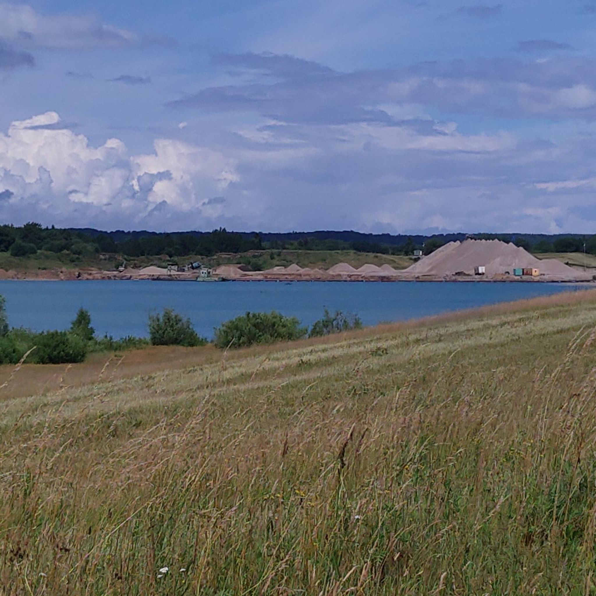
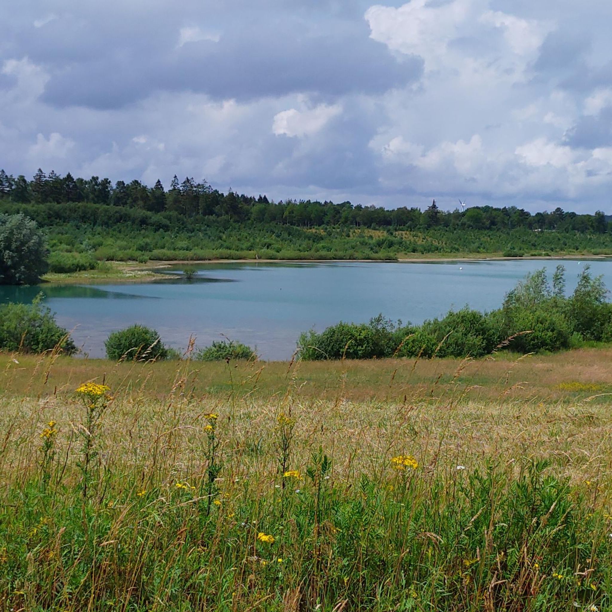
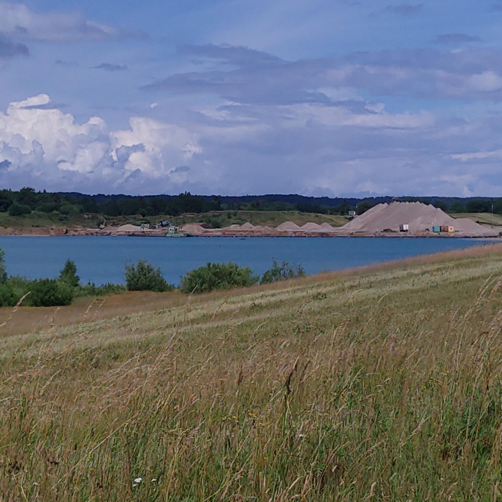
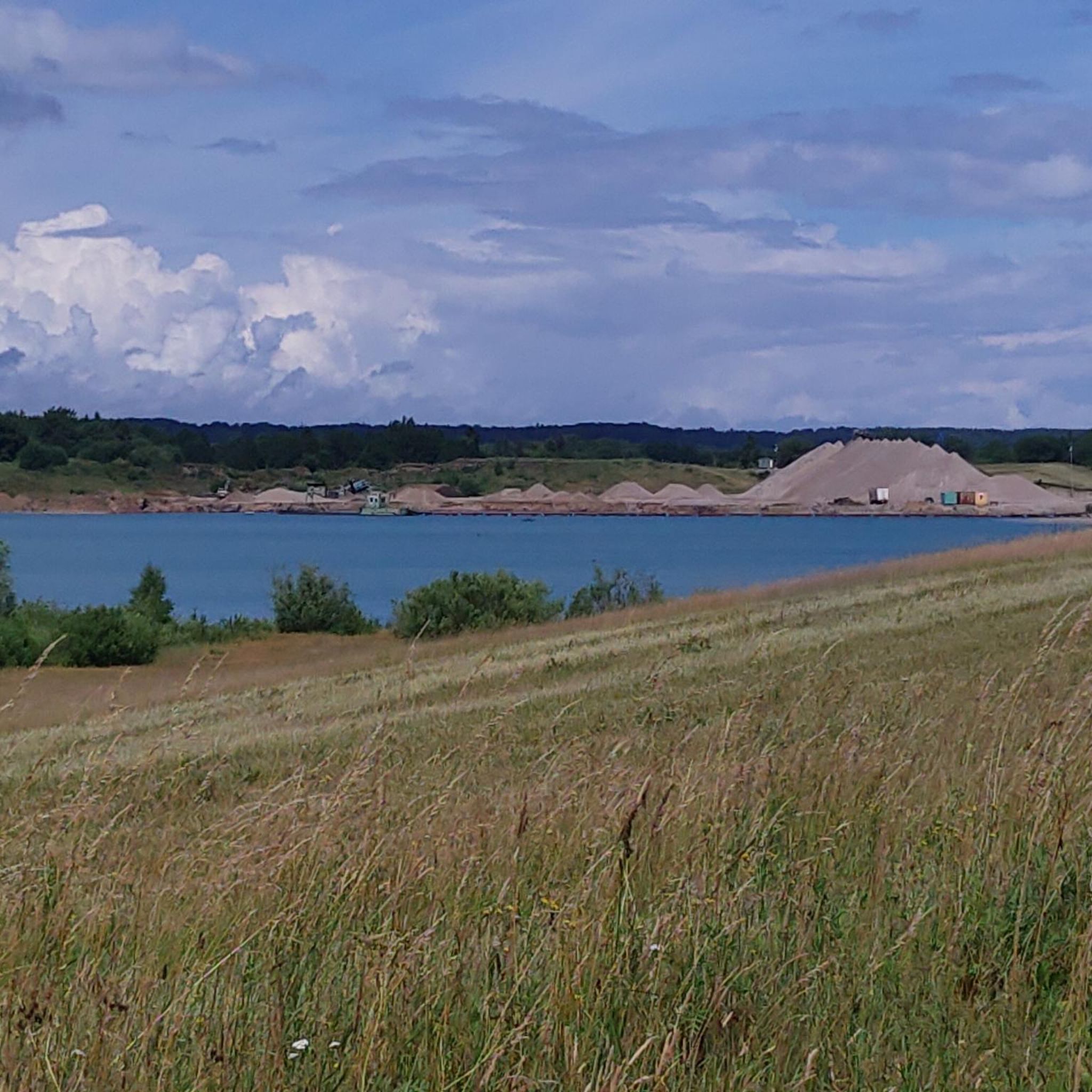
Årtoft Plantation is located north of Kliplev and is connected to Torp Plantation to the north. The plantation is approximately 210 hectares in size and originally comes from Årtoftgård, which belonged to the Søgård estate.
1
0

We are currently being renovated (as of June 10th, 2023)
0
0

Povls Bro is a single-arched stone bridge that carries the Hærvejen over Bjerndrup Mølleå south of Urnehoved, northwest of Kliplev in Southern Jutland. The bridge is named after the former army inn Povls Kro north of the bridge. The inn was used by the traders as accommodation, while the oxen could graze down in the fields around Povls Bro. The buildings still lie along Hærvejen, but are now part of a farm, with a hostel for hikers.
2
1

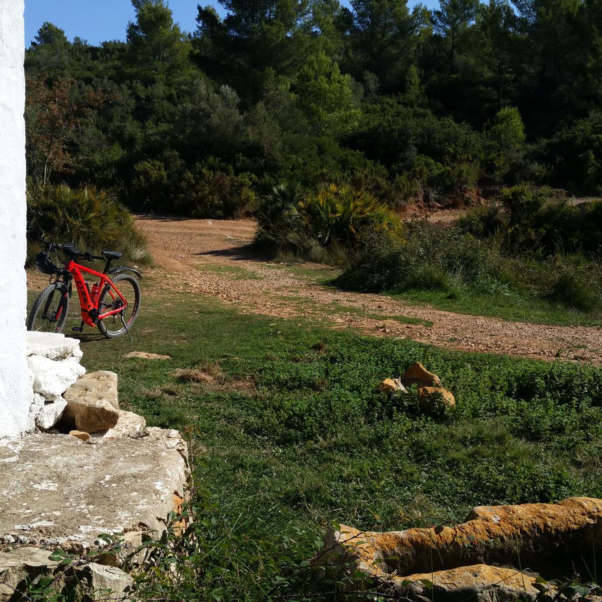
Beautiful place to stop for a little snack. 😁
1
0
Frequently Asked Questions
How many running routes are available in Årtoft Plantage?
Årtoft Plantage offers a comprehensive network of over 60 running routes. These include options for various fitness levels, with 10 easy routes and 45 moderate running routes.
Are there easy running routes suitable for beginners in Årtoft Plantage?
Yes, Årtoft Plantage has 10 easy running routes perfect for beginners or those looking for a relaxed pace. An excellent option is the Kongehøj loop from Find vej i Hjelm Skov, which is about 4.9 km long and takes around 34 minutes to complete.
What is the typical length of running trails in Årtoft Plantage?
The running trails in Årtoft Plantage vary in length, catering to different preferences. You'll find routes ranging from approximately 5 km to over 12 km. For example, the Aabenraa Fjord loop from Sydbank A/S is a moderate 12.1 km, while the Brundlund Castle Art Museum – Brundlund Castle Watermill loop from Aabenraa is about 6.1 km.
Are there any circular jogging routes in Årtoft Plantage?
Many of the running routes in Årtoft Plantage are designed as loops, offering convenient circular paths. For instance, the Årup Kapel loop from Stubbæk is a popular 10.7 km circular trail that takes you through rural landscapes.
What kind of terrain can I expect on the running trails in Årtoft Plantage?
The trails in Årtoft Plantage primarily feature varied terrain, including managed forest landscapes and open sections. You can expect gentle elevations and paths that often wind through wooded areas, providing a natural setting for your run. Some routes, like the Aabenraa Fjord loop, also offer views of the fjord.
What do other runners enjoy most about jogging in Årtoft Plantage?
The running routes in Årtoft Plantage are highly rated by the komoot community, with an average score of 4.3 stars. Runners often praise the varied terrain, the peaceful forest paths, and the occasional scenic fjord views that make for an enjoyable outdoor experience.
Are there any specific landmarks or points of interest along the running routes?
While Årtoft Plantage is primarily known for its natural forest and coastal landscapes, some routes pass by local points of interest. For example, the Brundlund Castle Art Museum – Brundlund Castle Watermill loop from Aabenraa takes you past Brundlund Castle, offering a cultural highlight during your run.
Where can I find parking or trailheads for running in Årtoft Plantage?
Many routes in the Årtoft Plantage area start from accessible locations. For example, some trails begin near 'Find vej i Hjelm Skov' or 'Sydbank A/S' in Aabenraa, indicating potential parking or public transport access points. It's advisable to check the specific route details on komoot for precise starting locations.
What are the elevation changes like on the running routes in Årtoft Plantage?
The running routes in Årtoft Plantage generally feature gentle elevations, making them suitable for a wide range of abilities. For instance, the Årup Kapel loop from Sydbank A/S has an elevation gain of about 79 meters over its 8.8 km distance, indicating a moderately undulating profile rather than steep climbs.
Can I find running routes that offer views of the Aabenraa Fjord?
Yes, several running routes in the Årtoft Plantage region provide beautiful views of the Aabenraa Fjord. The Aabenraa Fjord loop from Sydbank A/S is a prime example, offering scenic coastal perspectives during your run.
Most popular routes in Årtoft Plantage

Get inspired with the komoot mobile app


Explore more
Browse the best Running Trails & Routes in other regions.
