The best walks and hikes in Gjern Bakker
4.4
(77)
872
hikers
68
hikes
Hiking in Gjern Bakker offers routes through a unique ice-age landscape in Central Jutland, Denmark. The region is characterized by hilly terrain, shaped as a marginal moraine, with significant elevation changes from river valleys to hills like Åshøj at 104 meters. The landscape features diverse natural elements, including plantations, open heathlands, wet meadows, and remnants of oak forests. This varied topography provides challenging and scenic hiking conditions.
Best hiking trails in Gjern Bakker
- The most popular hiking route is Boardwalk…
Last updated: June 25, 2026
4.8
(5)
28
hikers
7.98km
02:07
80m
80m
Moderate hike. Good fitness required. Easily-accessible paths. Suitable for all skill levels.
3.3
(3)
15
hikers
13.1km
03:19
30m
30m
Moderate hike. Good fitness required. Easily-accessible paths. Suitable for all skill levels.

Sign up for free
5.0
(3)
9
hikers
Easy hike. Great for any fitness level. Easily-accessible paths. Suitable for all skill levels.
5.0
(3)
9
hikers
5.17km
01:24
70m
70m
Easy hike. Great for any fitness level. Easily-accessible paths. Suitable for all skill levels.
6
hikers
5.90km
01:33
50m
60m
Easy hike. Great for any fitness level. Easily-accessible paths. Suitable for all skill levels.
Get access to more routes and recommendations from other explorers.
Sign up for free
Already have an account?
Our route recommendations are based on thousands of hikes, rides, and runs completed by other people on komoot.
Start today with a free account
Your next adventure awaits.
Login or Signup
Tips from the Community

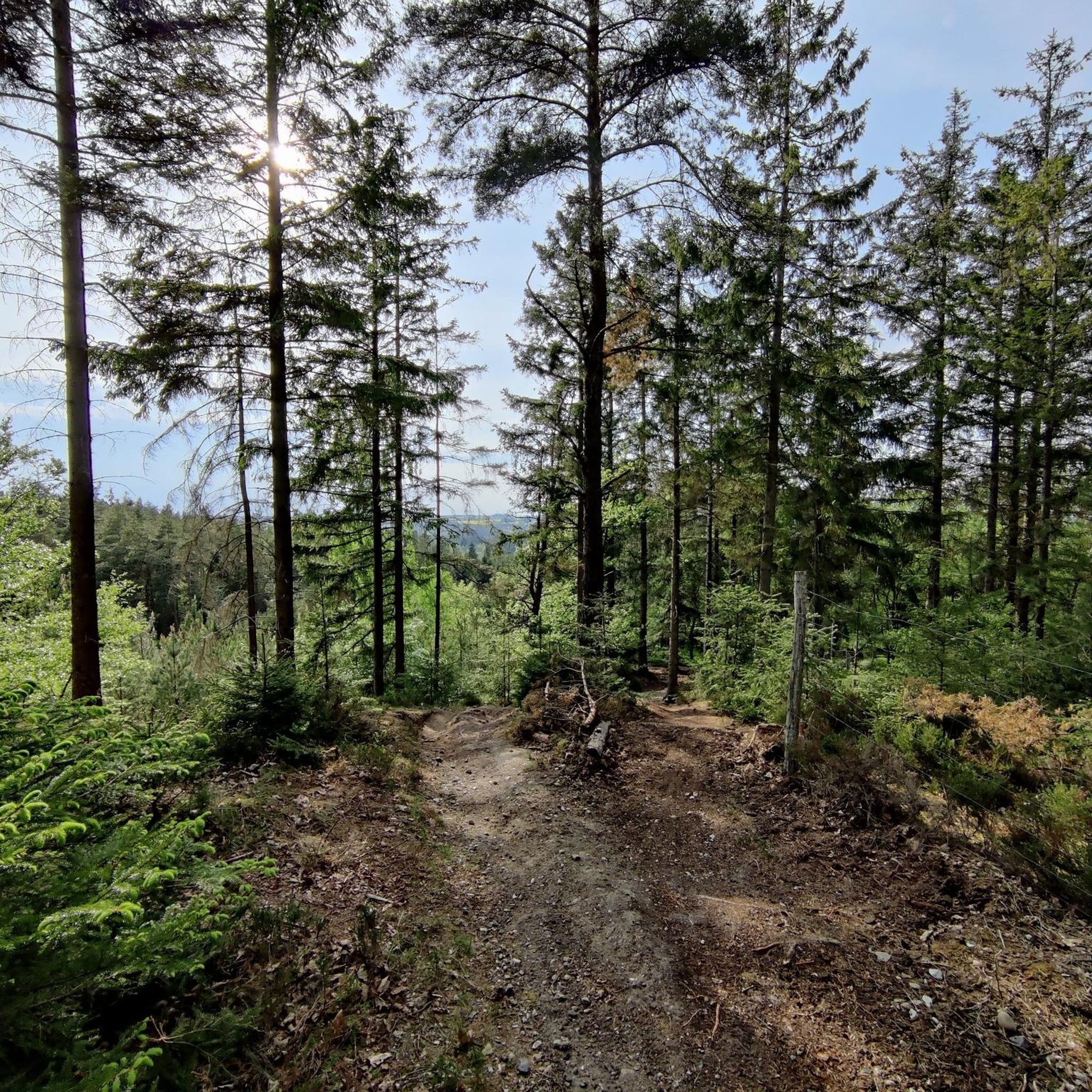
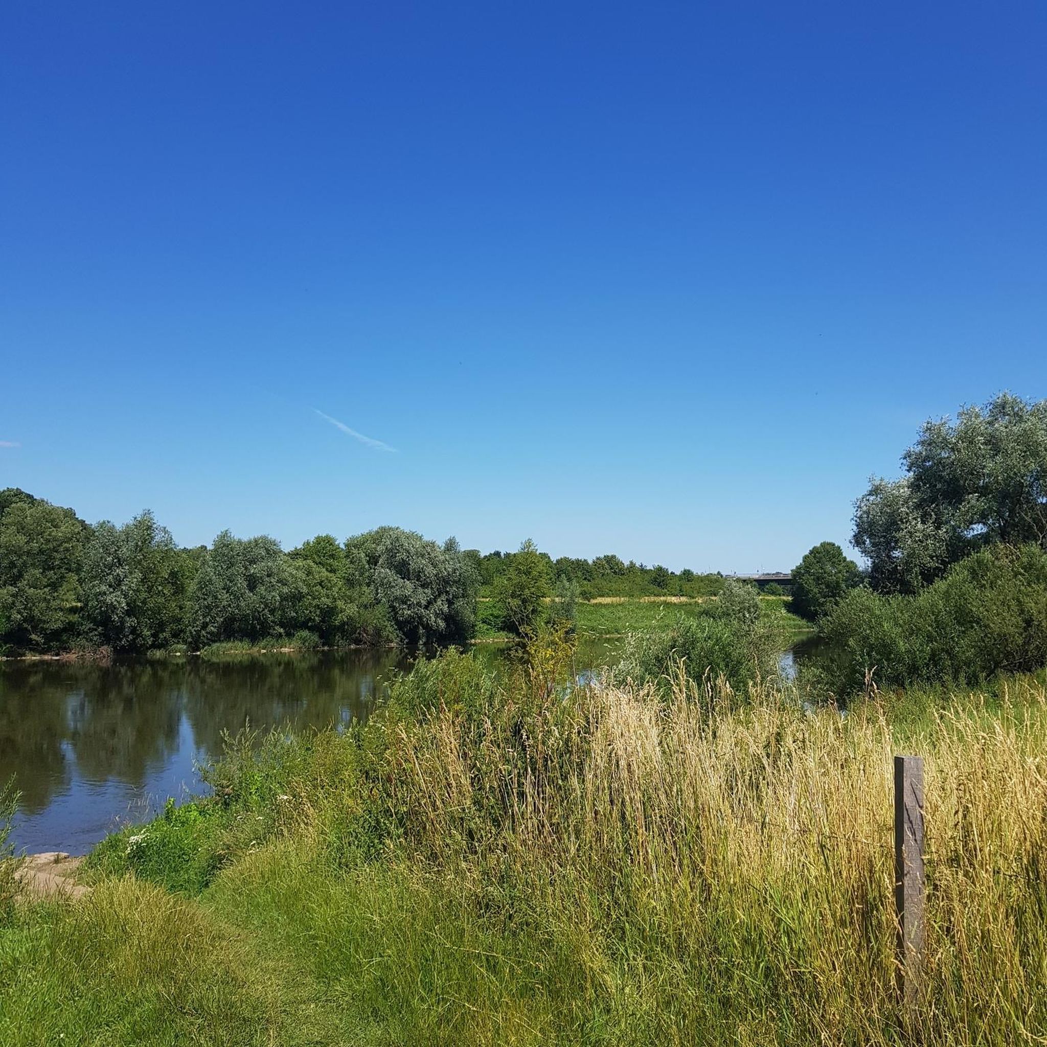
Sminge Lake is a natural and shallow lake that is a key part of the Gudenå River, Denmark's longest river. The river flows directly through the lake, making it a unique stop in the surrounding nature area. With Sminge Forest in the background, the lake is a true haven for birdwatchers, where you might even spot an osprey or a white-tailed eagle fishing. It's an ideal spot to pause and appreciate the undisturbed beauty of this vital Danish wetland.
2
0

A good hiking and cycling path on a former railway embankment. Artifacts are still visible along the path.
3
0
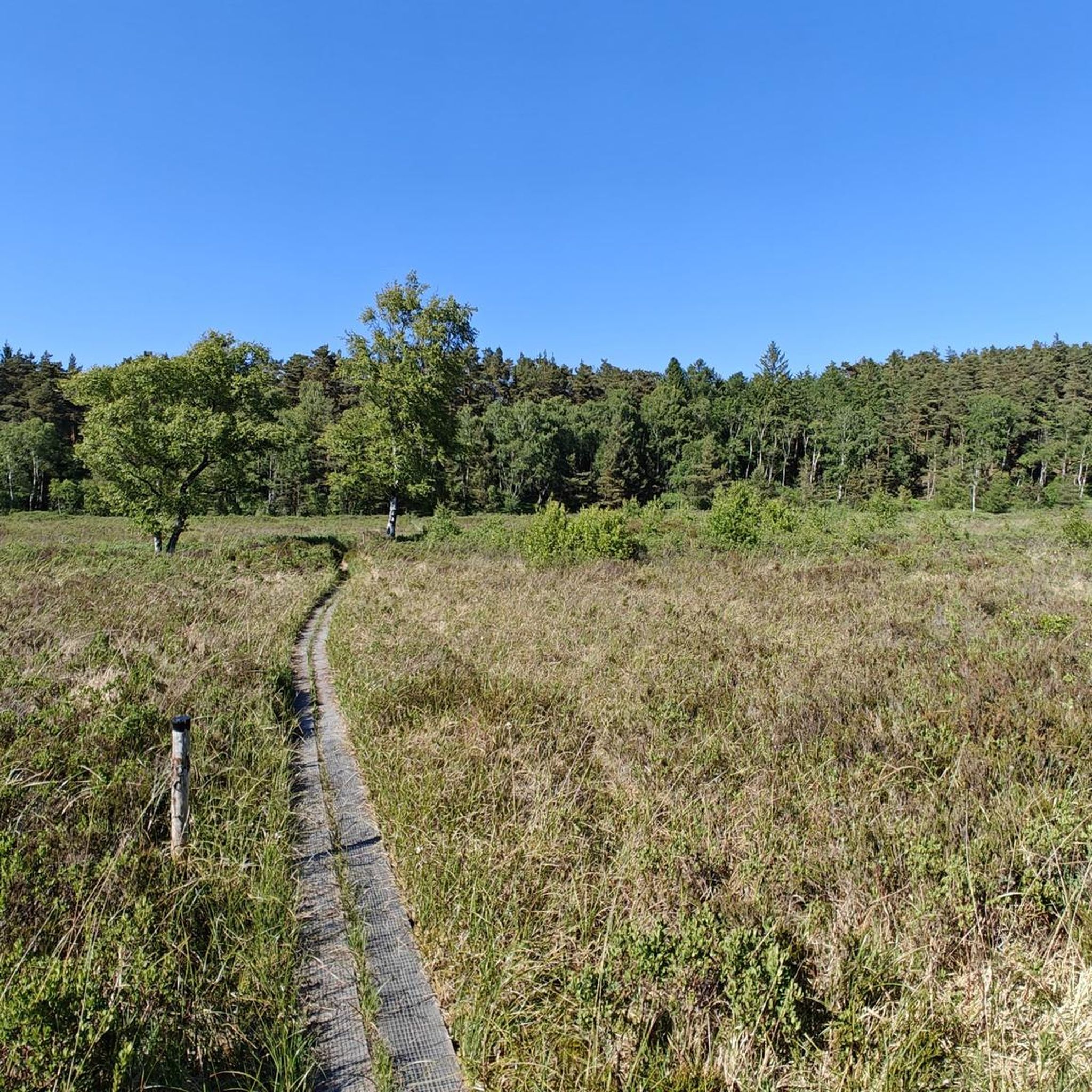
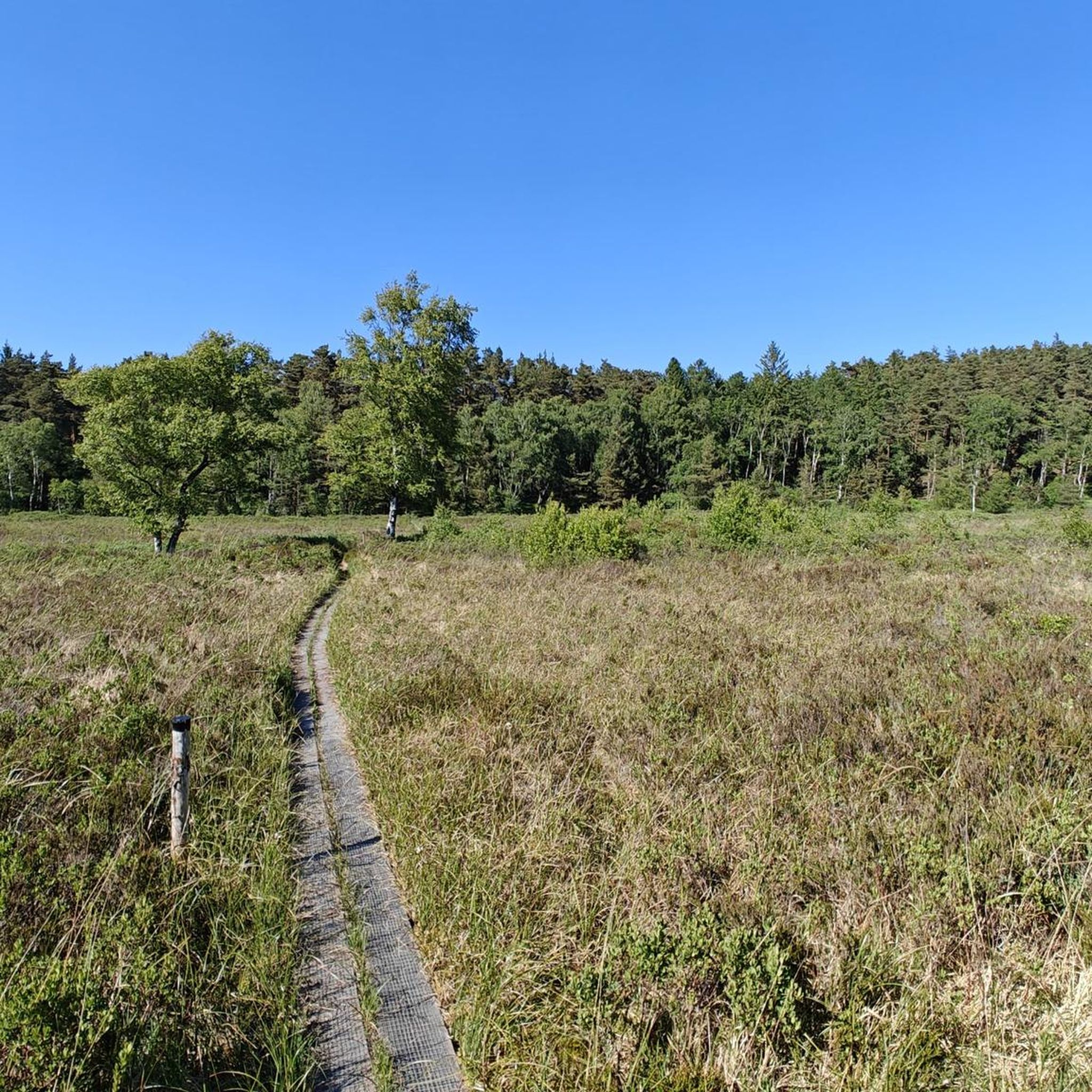
Easily accessible footbridge over the moor
3
0
Two stuffed animals/figurines are hidden along the path. Can you find them?
3
0
Frequently Asked Questions
How many hiking trails are available in Gjern Bakker?
Based on komoot data, there are over 70 hiking trails in Gjern Bakker, catering to various skill levels. These routes explore the unique ice-age landscapes, diverse forests, and scenic river valleys of the region.
What kind of terrain can I expect when hiking in Gjern Bakker?
Gjern Bakker is characterized by its hilly, ice-age-formed terrain, including a dramatic tunnel valley. You'll encounter undulating landscapes, dry paths in forested areas, and more humid meadow sections, particularly in Kildedal. Sturdy footwear is recommended due to the varied and sometimes challenging ground.
Are there any family-friendly hiking options in Gjern Bakker?
Yes, Gjern Bakker offers several routes suitable for families. Many of the trails are marked and designed for nature lovers of all ages. For example, the marked routes at Gjern Bakker Plantage, including a 0.7 km red route and a 1.7 km blue route, offer accessible options with scenic overlooks.
Can I bring my dog on the hiking trails in Gjern Bakker?
Gjern Bakker is generally dog-friendly, offering a natural environment for walks with your canine companion. However, it's always advisable to keep dogs on a leash, especially in areas with livestock or protected wildlife, and to respect local signage regarding pet regulations.
Are there any circular hiking routes in Gjern Bakker?
Yes, many of the trails in Gjern Bakker are designed as circular routes, allowing you to start and end at the same point. Popular options include the Boardwalk Through the Moor – Little Troll Hill loop from Brådensbakke and the Boardwalk Through the Moor – Moss-Covered Pine Forest loop from Gjern.
Where can I find parking for hiking trails in Gjern Bakker?
Parking is available at various access points to the hiking trails. For instance, routes like the Sminge Station – Sminge Lake loop from P6 indicate starting points with parking facilities. Look for designated parking areas near trailheads, often marked with 'P'.
What are the best viewpoints in Gjern Bakker?
Gjern Bakker boasts several excellent viewpoints due to its hilly landscape. Åshøj, the highest point at 104 meters, offers extensive vistas. Store Troldhøj provides panoramic views of the Gjern Å river valley, while Lille Troldhøj offers a magnificent view, especially over the Gudenådalen.
What natural features make Gjern Bakker unique for hiking?
Gjern Bakker's uniqueness stems from its ice-age origins, featuring a distinct marginal moraine and a dramatic tunnel valley. Hikers can explore diverse vegetation, including valuable oak thickets, mixed forests, and areas of heather. The scenic Gjern Å river valley also adds to the natural beauty.
What is the best time of year to hike in Gjern Bakker?
Gjern Bakker offers beautiful hiking experiences year-round. Spring brings blooming flora, summer provides lush greenery, and autumn showcases vibrant fall colors. Even winter hiking can be rewarding, with the landscape taking on a serene, frosted appearance. The varied terrain means conditions can change, so always check local weather before heading out.
Are there any facilities or rest areas along the trails?
Yes, along some trails, such as at Åshøj, you can find picnic tables and benches. These are ideal spots to rest, enjoy a snack, and take in the views over Kildedal and the Gjern Å river valley.
What do other hikers enjoy most about hiking in Gjern Bakker?
The area is highly rated by the komoot community, with an average score of 4.5 stars from over 60 reviews. Hikers often praise the unique ice-age landscapes, the diverse natural features, and the stunning panoramic views from elevated points like Åshøj and Store Troldhøj.
Are there any public transport options to reach Gjern Bakker?
While specific public transport routes directly into the heart of Gjern Bakker may be limited, the region is accessible via public transport to nearby towns. For detailed planning, it's recommended to check local bus schedules or regional transport services that connect to the Gjern area. You can also visit VisitAarhus for more regional travel information.
Most popular routes in Gjern Bakker

Get inspired with the komoot mobile app


Explore more
Browse the best Hikes in other regions.
