The best cycling routes in Mount Mansfield State Forest
4.8
(46)
810
riders
80
rides
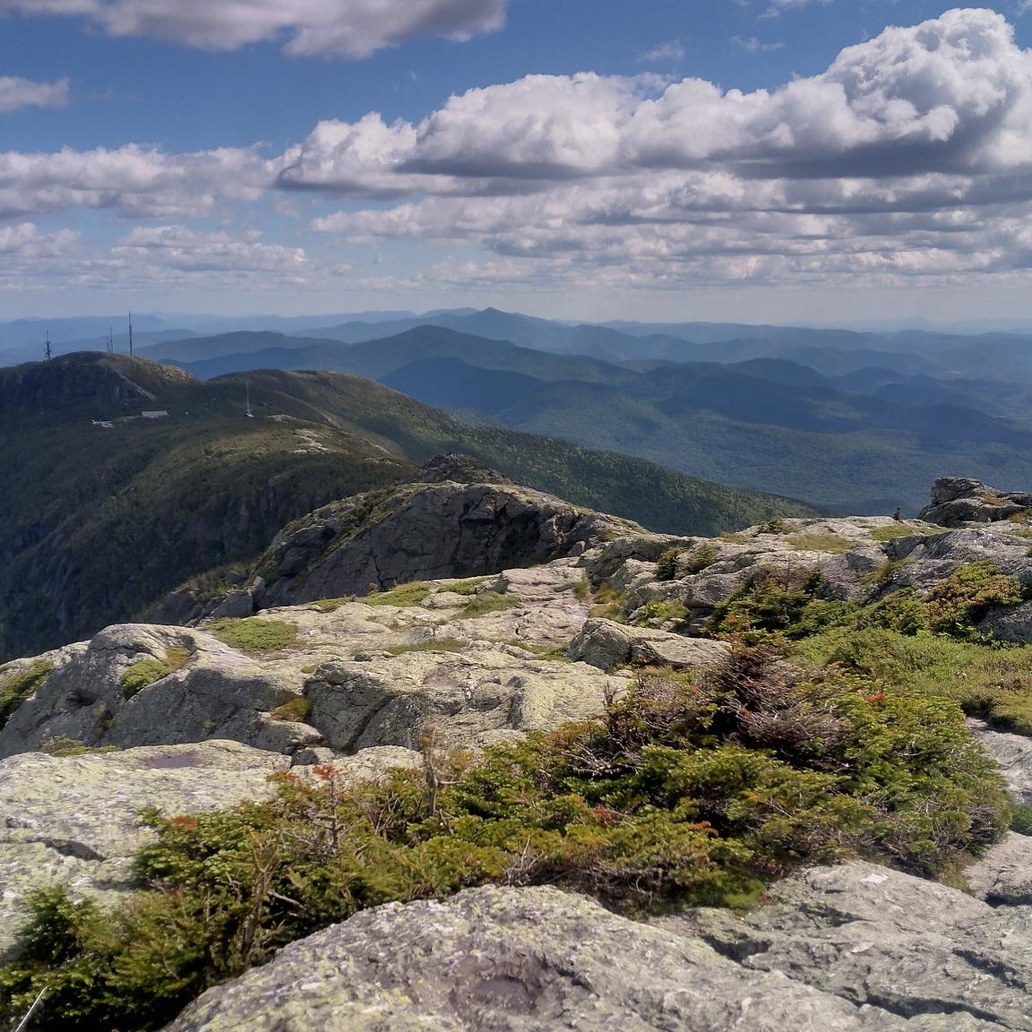
Touring cycling routes in Mount Mansfield State Forest traverse a diverse landscape featuring Vermont's highest peak, Mount Mansfield, and the dramatic Smugglers' Notch mountain pass. The region encompasses over 44,444 acres of forested slopes, with elevations ranging significantly. Cyclists will encounter varied terrain, from scenic byways and paved paths to routes offering panoramic mountain views and access to the 880-acre Waterbury Reservoir.
Best touring cycling routes in Mount Mansfield State Forest
- The most popular touring cycling route is Main Street – Stowe Recreation Path loop from Smuggler's Notch State Park, a 39.9 miles (64.2 km) trail that takes 3 hours 54 minutes to complete. This challenging route offers extensive mountain views and sections of a federally designated Scenic By-way.
- Another top favourite among local touring cyclists is Stowe Recreation Path – Idletyme Brewing & PK Coffee loop from Stowe, a moderate 26.2 miles (42.1 km) path. This route incorporates a popular paved recreation path, providing scenic views and access to local points of interest.
- Local touring cyclists also love the Idletyme Brewing & PK Coffee – Red Barn Shops loop from Moscow, a 9.6 miles (15.5 km) trail leading through forested areas and local communities, often completed in about 1 hour 1 minute.
- Touring cycling in Mount Mansfield State Forest is defined by dramatic mountain passes, extensive forested slopes, and scenic reservoir views. The network offers options for various ability levels, from easier paved paths to more challenging climbs.
- The routes in Mount Mansfield State Forest are highly rated by the komoot community with an average score of 4.9 stars from over 40 reviews. More than 700 touring cyclists have used komoot to explore Mount Mansfield State Forest's varied terrain.
Last updated: October 1, 2026
7
riders
64.2km
03:55
550m
550m
Hard bike ride. Very good fitness required. Mostly paved surfaces. Suitable for all skill levels.
4.5
(2)
3
riders
Moderate bike ride. Good fitness required. Mostly paved surfaces. Suitable for all skill levels.

6
riders
Hard bike ride. Very good fitness required. Mostly paved surfaces. Suitable for all skill levels.
6
riders
Hard bike ride. Very good fitness required. Mostly paved surfaces. Suitable for all skill levels.
3
riders
12.9km
01:06
200m
200m
Moderate bike ride. Good fitness required. Mostly paved surfaces. Suitable for all skill levels.
Get access to more routes and recommendations from other explorers.
Already have an account?
Our route recommendations are based on thousands of hikes, rides, and runs completed by other people on komoot.
Start today with a free account
Your next adventure awaits.
Popular around Mount Mansfield State Forest
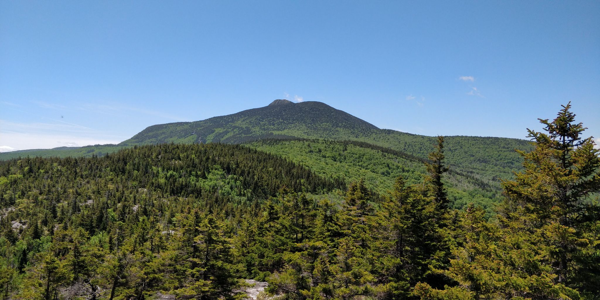
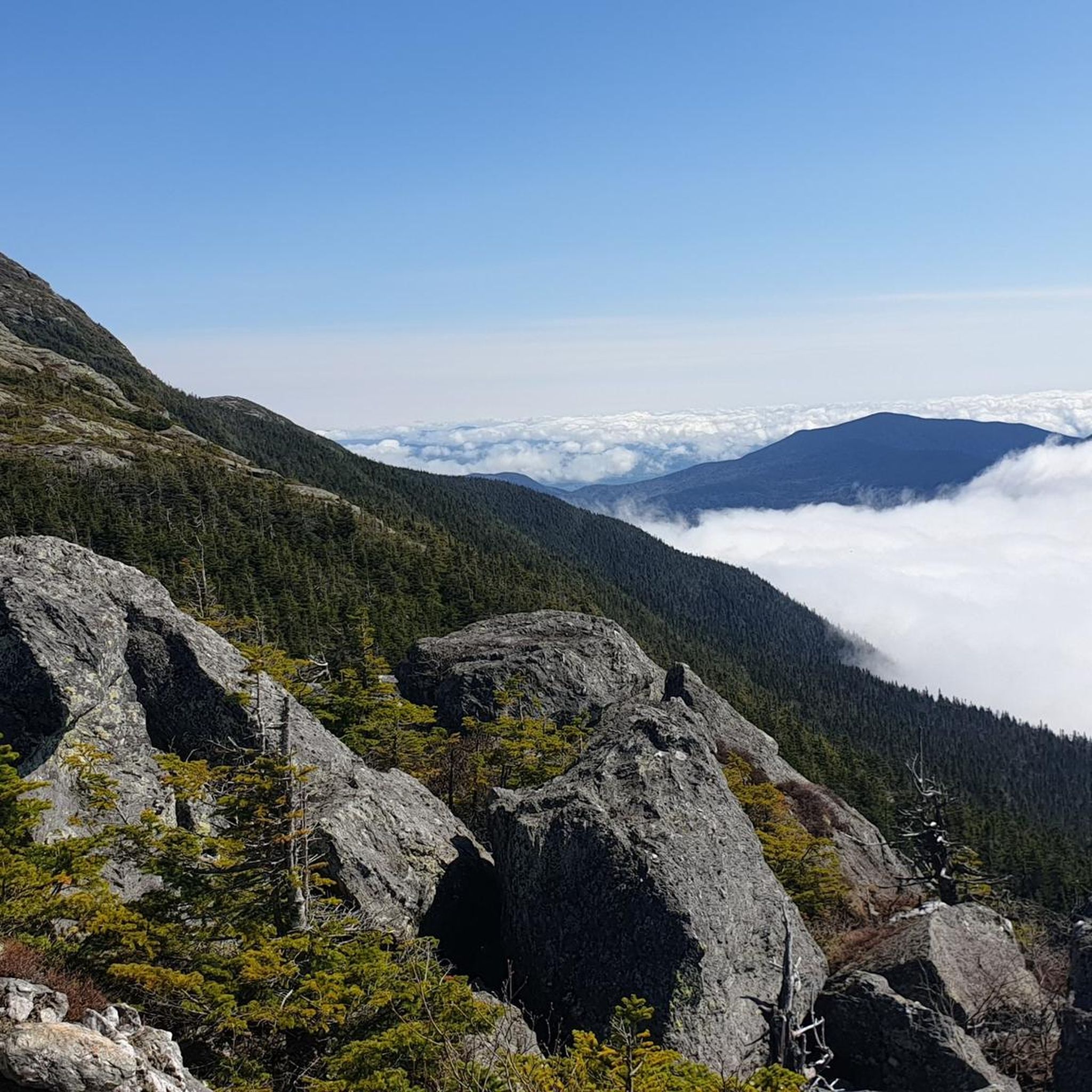
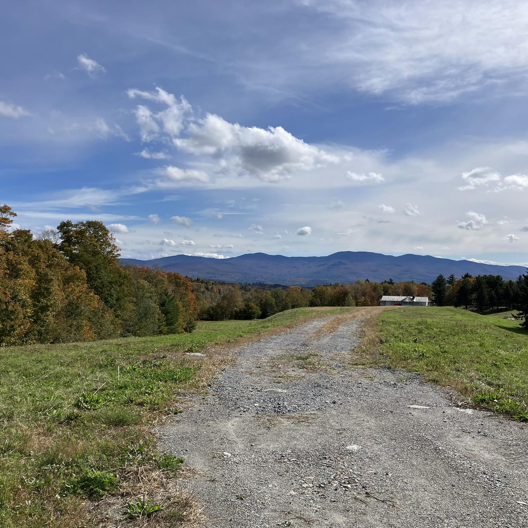
Other adventures in Mount Mansfield State Forest

Tips from the Community


The Cross Vermont Trail is a multi-use path that spans the state, connecting communities, crossing rivers, and passing through forests and open fields. It features a mix of gravel and paved sections, making it ideal for bike touring and exploring Vermont’s scenic landscapes. You can start in Burlington and choose your own final destination.
0
0

Randolph Road is a relatively flat road that connects Stowe to Morrisville, past the local airport. This road has great views of the mountains pretty much the entire way as you ride.
0
0
Morrisville, Vermont, is a charming village in Lamoille County, just north-northeast of Stowe. The main street is lined with 19th and early 20th-century buildings that host a variety of locally-owned shops, including boutiques, and antique stores, as well as cozy cafes and family-owned restaurants that emphasize local ingredients. Main Street also features nearby green spaces with easy access to the Lamoille River and the Lamoille Valley Rail Trail, the longest rail trail in New England!
0
0
Main Street in Stowe, Vermont, is a charming, quintessentially New England small mountain town. Lined with historic buildings, boutique shops, cozy cafes, and a variety of restaurants, it is a great spot to spend the afternoon exploring after a morning in the mountains skiing, hiking, or biking. The street is a popular destination for both locals and tourists, featuring attractions like the Vermont Ski and Snowboard Museum and the Stowe Community Church.
0
0
Lintilhac Park is a lovely little park behind the Stowe Community Church and is a common access point for the southern end of the Stowe Recreation Path, just north of Main Street, Stowe. The Stowe Recreation Path is a popular, scenic, 5.3-mile paved trail that is open for bikers and walkers, and is groomed in the winter for cross-country skiers. This fantastic trail crosses Little River several times via wooden bridges, has multiple spots for swimming, and offers direct access to many restaurants and shops in Stowe. There is a bike repair station at Lintilhac Park for those who might need it, in addition to parking for the Recreation Path.
0
0
A coffee shop and a brewery right across the street from each other! What more can you ask for on a relaxing ride around Stowe? Idletyme Brewing and PK Coffee are two great spots to grab a burger and beer or coffee and pastry depending on your mood (and time of day). Both of these local-favorite spots are right off of the Stowe Recreational Path, making them convenient to stop at and refuel as you explore the area.
0
0

The Stowe Recreation Path is a 5.3 mile fully paved trail from Stowe Village to Top Notch Resort. It is a beautiful path to ride that is free from car traffic.
0
0
Frequently Asked Questions
How many touring cycling routes are available in Mount Mansfield State Forest?
Mount Mansfield State Forest offers over 80 touring cycling routes, catering to various skill levels. You'll find approximately 10 easy routes, nearly 40 moderate routes, and over 30 challenging options to explore.
What kind of terrain can I expect on touring cycling routes in Mount Mansfield State Forest?
The terrain varies significantly, from scenic byways and paved paths to more challenging climbs through forested slopes and dramatic mountain passes. Routes often feature extensive mountain views, sections of federally designated Scenic By-ways like Route 108 through Smugglers' Notch, and access to natural features such as the Waterbury Reservoir.
Are there any family-friendly touring cycling routes in Mount Mansfield State Forest?
Yes, there are several options suitable for families. The Idletyme Brewing & PK Coffee – Red Barn Shops loop from Moscow is an easy 15.5 km route that takes you through forested areas and local communities. The Stowe Recreation Path, incorporated into routes like the Stowe Recreation Path – Idletyme Brewing & PK Coffee loop from Stowe, is also a popular, paved, and scenic option.
What are some notable landmarks or natural features I can see along the touring cycling routes?
The region is rich with natural beauty. You can experience the dramatic Smugglers' Notch mountain pass, which is a federally designated Scenic By-way. Routes may also offer views of Mount Mansfield, Vermont's highest peak. For specific natural attractions, consider visiting Bingham Falls, a 40-foot waterfall, or exploring trails like Sunset Ridge Trail and Sterling Pond Trail, which offer scenic vistas.
Are there any loop routes for touring cyclists in Mount Mansfield State Forest?
Yes, many routes are designed as loops. A challenging option is the Main Street – Stowe Recreation Path loop from Smuggler's Notch State Park, which is 64.2 km long and offers extensive mountain views. For a moderate ride, consider the Barnes Hill loop from Waterbury Center State Park, covering 15.27 km.
What is the best time of year to go touring cycling in Mount Mansfield State Forest?
The best time for touring cycling is typically from late spring through early fall. During these seasons, the weather is generally pleasant, and the roads are clear of snow and ice. Fall offers spectacular foliage, making it a particularly scenic time, especially through areas like Smugglers' Notch. Always check local conditions before heading out, as higher elevations can experience cooler temperatures and earlier snow.
What do other touring cyclists enjoy most about the routes in Mount Mansfield State Forest?
The touring cycling routes in Mount Mansfield State Forest are highly rated by the komoot community, with an average score of 4.9 stars from over 40 reviews. Cyclists often praise the diverse landscapes, from dramatic mountain passes to serene forested areas, and the stunning panoramic views, especially along the designated scenic byways.
Are there any challenging touring cycling routes for experienced riders?
Absolutely. Mount Mansfield State Forest offers over 30 difficult routes for experienced touring cyclists. A prime example is the Waterbury – Gold Brook Covered Bridge loop from Rest Area I-89 (South Bound), a 55.4 km route with significant elevation changes, providing a demanding yet rewarding experience.
Where can I find parking for touring cycling routes in Mount Mansfield State Forest?
Parking is generally available at various access points and state parks within and around the forest. For routes originating near Smugglers' Notch, you might find parking at Smuggler's Notch State Park. For routes around Waterbury, Waterbury Center State Park is a good option. Always check specific route starting points for designated parking areas.
Are there opportunities for wildlife viewing while cycling in Mount Mansfield State Forest?
Yes, the forest's diverse ecosystems support a rich variety of flora and fauna. While cycling, you might spot various bird species, including the rare Bicknell's Thrush in higher elevations. Keep an eye out for deer and other forest animals, especially during quieter times of day. Remember to maintain a respectful distance and avoid disturbing wildlife.
What kind of facilities, like cafes or breweries, are available near the touring cycling routes?
Several routes pass through or near local communities that offer amenities. For instance, the Stowe Recreation Path – Idletyme Brewing & PK Coffee loop from Stowe incorporates access to local points of interest, including breweries and cafes in Stowe. The Idletyme Brewing & PK Coffee – Red Barn Shops loop from Moscow also leads through areas with local establishments.
Most popular routes in Mount Mansfield State Forest
Most popular attractions in Mount Mansfield State Forest

Get inspired with the komoot mobile app


Explore more
Browse the best Cycling routes in other regions.
