The best walks and hikes in Mount Mansfield State Forest
4.6
(119)
2,435
hikers
48
hikes
Hiking in Mount Mansfield State Forest offers diverse landscapes centered around Mount Mansfield, Vermont's highest peak at 4,393 feet (1,339 meters). The region features a unique alpine tundra ecosystem near the summit, dense hardwood and conifer forests at lower elevations, and terrain shaped by glacial activity. Hikers can explore a variety of trails, from challenging ascents to more moderate paths, providing panoramic views of the Green Mountains and Lake Champlain.
Best hiking trails in Mount Mansfield State Forest
- The most…
Last updated: September 27, 2026
4.9
(10)
144
hikers
10.8km
04:09
810m
660m
Prepare for a rewarding hiking experience on the Maple Ridge and Sunset Ridge Loop, a moderate route covering 6.7 miles (10.8 km) with a significant elevation gain of 2669 feet…
4.0
(2)
26
hikers
5.48km
02:41
840m
190m
Embark on a challenging hike up Mount Mansfield via the Long and Profanity Trail, a route known for its steep ascent to Vermont's highest peak. This 3.4-mile (5.5 km) journey…

14
hikers
10.4km
04:24
840m
840m
Embark on the Mount Mansfield via Hell Brook and Haselton Trail Loop, a moderate hike covering 6.5 miles (10.4 km) with a significant elevation gain of 2753 feet (839 metres).…
4.5
(2)
7
hikers
10.5km
03:05
310m
290m
Embark on a moderate hike along the Stevenson Brook, Dalley, and Hedgehog Hill Trail Loop, a 6.5-mile (10.5 km) journey that takes about 3 hours and 4 minutes to complete.…
3
hikers
6.60km
02:28
600m
100m
Sterling Pond via Long Trail offers a moderate hike through the cool spruce-fir forest of Mount Mansfield State Forest. You will experience a distinct boreal atmosphere as you ascend, with…
Get access to more routes and recommendations from other explorers.
Already have an account?
Our route recommendations are based on thousands of hikes, rides, and runs completed by other people on komoot.
Start today with a free account
Your next adventure awaits.
Popular around Mount Mansfield State Forest
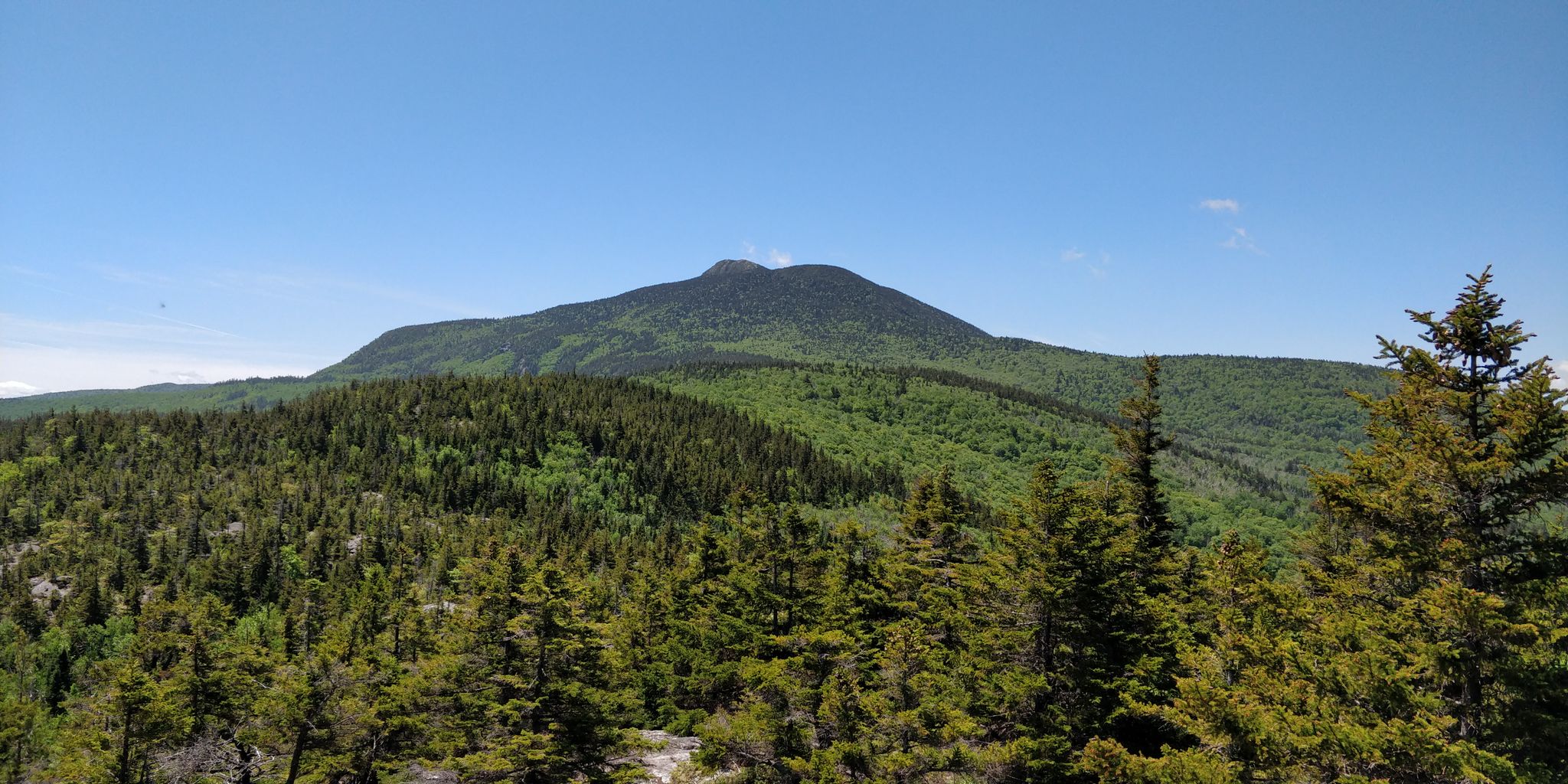
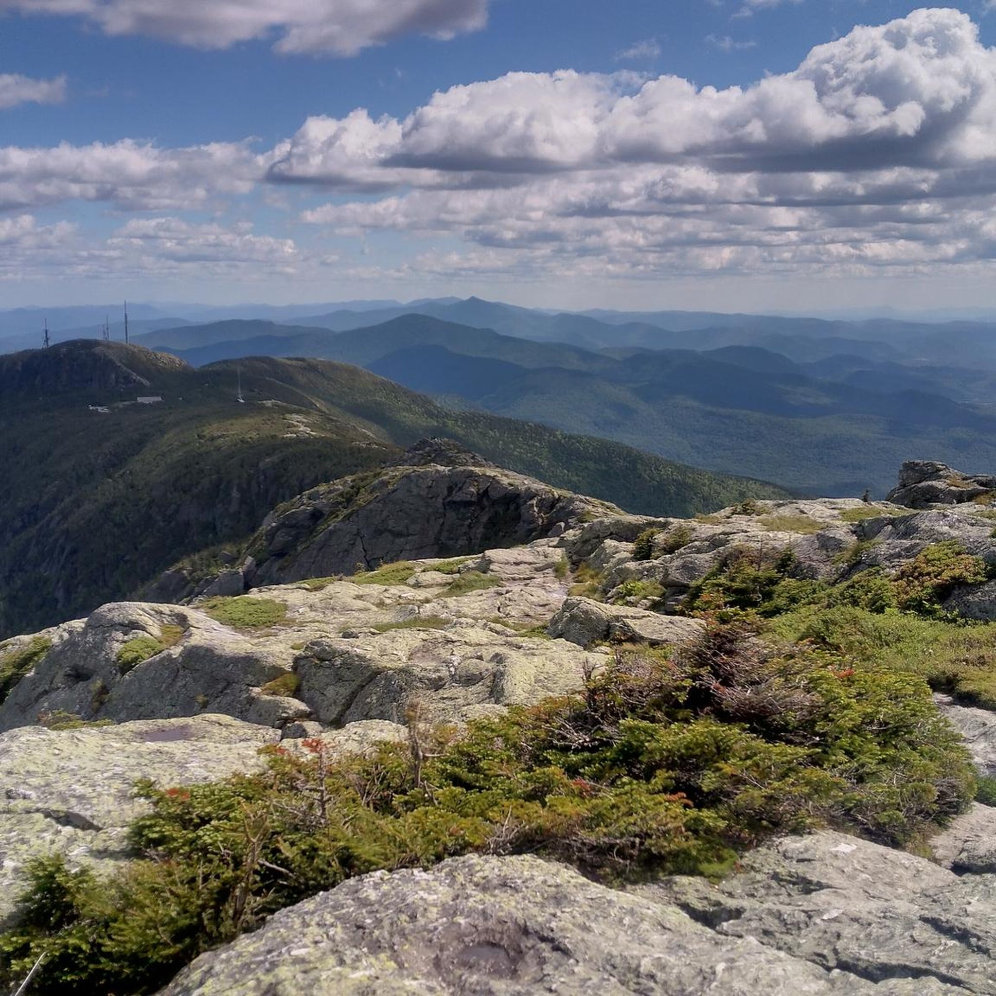
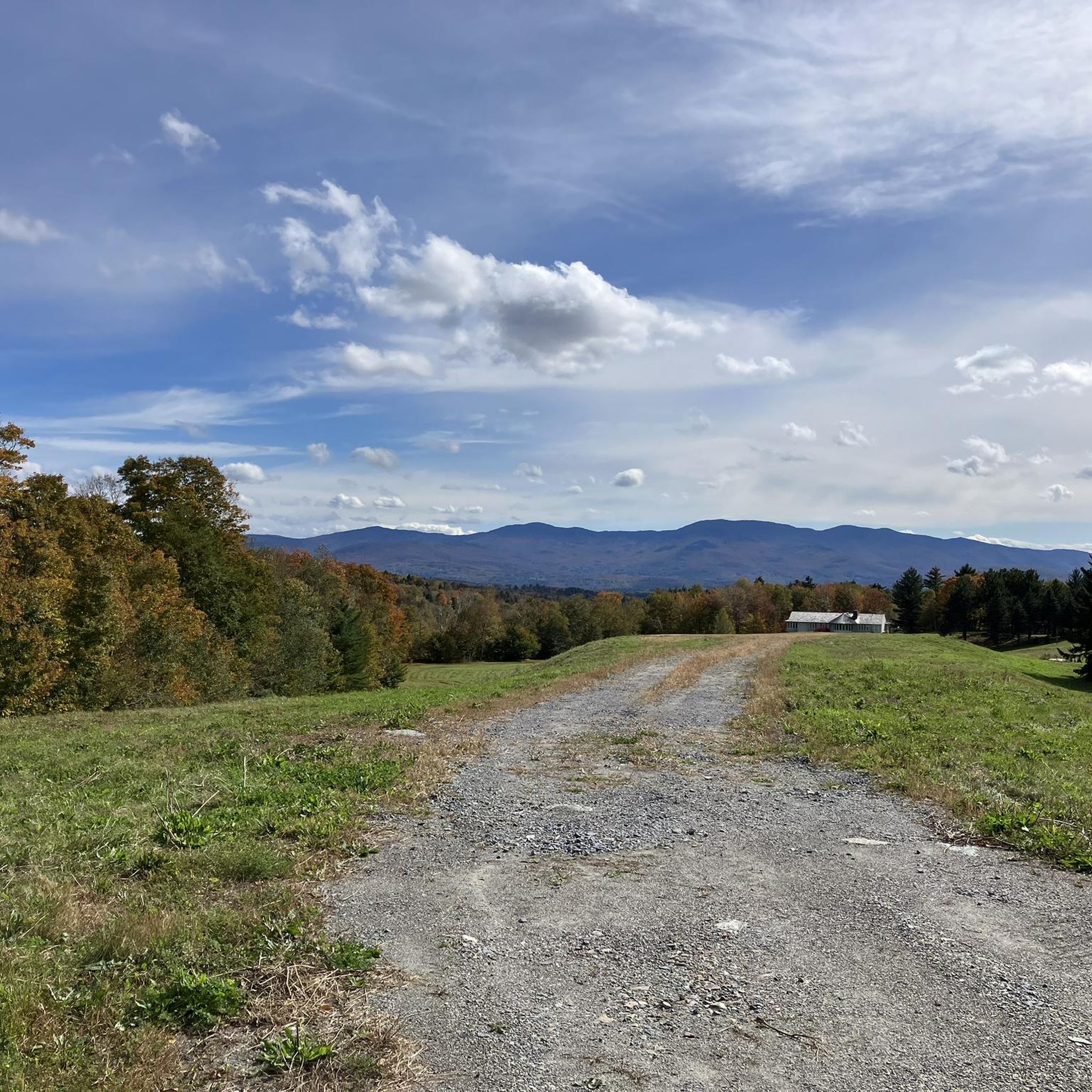

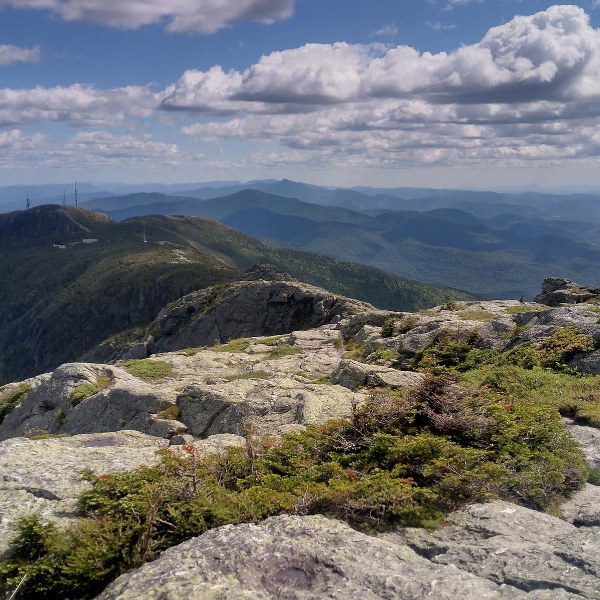
Other adventures in Mount Mansfield State Forest

Tips from the Community

Hiking Vermont Trails above 2500 feet is strongly discouraged until Memorial Day weekend because of erosionall damage Contact the Green Mountain Club at 802-244-7037 or email gmc@greenmountainclub.org or their website greenmountainclub.org
0
0


Sterling Pond is Vermont’s highest-elevation Trout Pond and an extremely popular destination in Smuggler's Notch. You can swim and fish (with a permit) and relax by its waters. It's also a great spot for observing wildlife and photography all year round; there are sometimes volunteers at the pond who are there to talk about the local plants and animals, and to answer questions. There is a shelter on the east side of the pond for Long Trail thru-hikers.
0
0
The Sunset Ridge Trail is one of the most scenic trails in Vermont and travels up southwestern side of Mt. Mansfield. This fantastic trail is relatively short and mostly above treeline. It offers phenomenal views of the Champlain Valley and the Mansfield ridge line and, as the name indicates, is exceptionally beautiful at sunset. There are several water crossings and scenic outcroppings scattered along this enjoyable trail as you hike up toward Mt. Mansfield.
0
0
Mansfield's Adam's Apple, or just the "Adam's Apple" is the northernmost named sub peak of Mt. Mansfield, whose long ridge line is comprised of bumps and peaks that are said to resemble an elongated face when looking at the mountain from the east or west. The Adam's Apple is a small but prominent knoll surrounded by stubby pine trees that offers fantastic views of the Chin, which towers over the Adam's Apple. This is a good landmark as you traverse the Mansfield ridge line and a great place to pause, sip some water, and take in the views of this amazing area. From the "Adam's Apple" to the "Forehead," is just little over two miles to the north, the trail is almost entirely above treeline, so please check conditions before deciding to hike the exposed ridge line.
0
0
The Forehead is the southernmost named sub peak on the ridge line of Mt. Mansfield. Mansfield's Forehead, or simply, "The Forehead," gets it name from the idea that the the long, exposed ridge line of Mt. Mansfield looks like the profile of a man's face lying down. Standing at 3,940 feet, the Forehead is a great place to take in the views up the Mansfield ridge line to the north. Mt. Mansfield is one of two places where Arctic Tundra exists in Vermont so please try to stick on designated trails when traveling in this unique, beautiful area. From the "Forehead" here to the "Adam's Apple," which is a little over 2 miles to the south, the trail almost entirely above treeline, so please check conditions before traveling in this incredible area.
0
0
Supposedly, the long, exposed ridge line of Mt. Mansfield, the tallest mountain in Vermont, looks like the profile of a man's face. This particular feature is known as Mansfield's Lower Lip. From the Lower Lip you get great views down the long, exposed ridge line that comprises Mt. Mansfield.
0
0
The small sub peaks and bumps off of Mt. Mansfield are all named for different facial features; supposedly, the long ridge line of Mansfield looks like the profile of a man's face lying down. This particular feature is known as Mansfield's Upper Lip, or simply, the Upper Lip. This rocky band of cliffs is quite prominent on the exposed ridge line and is a great feature to snap some photos of as you continue your hike in the alpine tundra.
0
0
Frequently Asked Questions
How many hiking trails are available in Mount Mansfield State Forest?
Mount Mansfield State Forest offers a diverse network of nearly 40 hiking trails, catering to various skill levels. You'll find everything from easy walks to challenging summit ascents, with 5 easy, 25 moderate, and 6 difficult routes to explore.
What are the notable natural features or landmarks I can see while hiking?
The forest is home to Vermont's highest peak, Mount Mansfield, which features a unique alpine tundra ecosystem near its summit. You can also observe glacial formations and the mountain's distinctive 'human face' profile. Specific highlights include Cantilever Rock and the scenic Bingham Falls. Many trails, like the Sunset Ridge Trail, offer panoramic views of the Green Mountains and Lake Champlain.
Are there any family-friendly hiking options in Mount Mansfield State Forest?
Yes, there are several family-friendly options. For an easier walk with a scenic reward, consider the short hike to Bingham Falls, located in the adjacent Smuggler's Notch State Park. This easy route is less than a mile long and leads to a beautiful waterfall, perfect for a quick outing with children.
Can I bring my dog on the hiking trails?
Yes, dogs are generally permitted on trails within Mount Mansfield State Forest, but they must be kept on a leash. Always remember to pack out anything you pack in, including pet waste, to preserve the natural environment for everyone.
What is the best time of year to hike in Mount Mansfield State Forest?
The best time to hike is typically from late spring through early fall. Summer offers lush greenery and comfortable temperatures, while autumn provides spectacular foliage. The alpine tundra near the summit is particularly fragile, so staying on marked trails is crucial, especially during peak seasons. Winter hiking is possible but requires specialized gear and experience due to snow and ice.
Are there any loop trails for a circular hiking experience?
Yes, Mount Mansfield State Forest features several excellent loop trails. A popular choice is the Mt. Mansfield via Sunset Ridge loop, a moderate 4.8-mile route offering expansive summit views. Another option is the Sterling Pond loop, a moderate 3.2-mile path through the forest to a tranquil pond.
What kind of terrain and elevation gain can I expect on the trails?
The terrain varies significantly. Lower elevation trails wind through dense hardwood and conifer forests with moderate inclines. As you ascend Mount Mansfield, trails become steeper and more rugged, leading to the exposed alpine tundra near the summit. For example, the difficult Mt. Mansfield Traverse loop involves over 1000 meters of elevation gain over 7.8 miles.
Where can I find parking for the hiking trails?
Parking is available at various trailheads throughout Mount Mansfield State Forest and the adjacent Smugglers' Notch State Park. Specific parking areas are often located near popular access points like the base of the Sunset Ridge Trail or the entrance to Smugglers' Notch. It's advisable to arrive early during peak season to secure a spot.
What do other hikers say about their experience in Mount Mansfield State Forest?
The hiking experience in Mount Mansfield State Forest is highly rated by the komoot community, with an average score of 4.7 stars from over 80 reviews. Hikers frequently praise the stunning panoramic views from Mount Mansfield's summit, the unique alpine environment, and the diverse range of trails that cater to different abilities.
Are there any challenging hikes for experienced trekkers?
Absolutely. For experienced hikers seeking a challenge, the Mt. Mansfield Traverse loop via the Long and Haselton Trails is a difficult 7.8-mile route that covers varied mountain terrain and significant elevation. Another challenging option is the Mt. Mansfield and the Adam's Apple loop via the Hellbrook Trail, known for its steep ascent.
What kind of wildlife might I encounter while hiking?
The dense forests of Mount Mansfield State Forest are home to a variety of wildlife. You might spot white-tailed deer, moose, black bears, and various bird species. In the fragile alpine tundra, you may encounter unique plant life adapted to the harsh conditions. Remember to observe wildlife from a distance and never feed animals.
Are there any waterfalls to visit in the area?
Yes, the area features beautiful waterfalls. A notable one is Bingham Falls, located near Smugglers' Notch State Park. It's accessible via an easy, short trail, making it a popular spot for a refreshing stop.
Most popular routes in Mount Mansfield State Forest
Most popular attractions in Mount Mansfield State Forest

Get inspired with the komoot mobile app


Explore more
Browse the best Hikes in other regions.
