The best mountain hikes around Općina Mošćenička Draga
4.8
(8)
73
hikers
5
hikes
Mountaineering routes around Općina Mošćenička Draga are primarily found within Učka Nature Park, which encompasses Mount Učka, the highest peak in Istria. The region features a blend of rugged mountain terrain, lush forests, and rocky karst landscapes, with elevations reaching up to 1,401 meters at Vojak Peak. Limestone formations are also present, offering diverse climbing opportunities in the hinterland. This area provides direct access to varied natural features, from coastal views to high mountain panoramas.
Best mountaineering routes around Općina…
Last updated: November 14, 2026
4.5
(4)
35
hikers
7.01km
02:59
440m
440m
Moderate mountaineering route. Good fitness required. Mostly walkable paths. Sure-footedness required.
5.0
(3)
28
hikers
10.3km
03:41
550m
550m
Moderate mountaineering route. Good fitness required. Mostly walkable paths. Sure-footedness required.

5.0
(1)
4
hikers
11.3km
04:08
580m
580m
Moderate mountaineering route. Good fitness required. Mostly walkable paths. Sure-footedness required.
4
hikers
18.1km
07:38
1,410m
1,410m
Hard mountaineering route. Very good fitness required. Sure-footedness, sturdy shoes and alpine experience required.
2
hikers
12.5km
05:19
1,020m
1,010m
Hard mountaineering route. Very good fitness required. Sure-footedness, sturdy shoes and alpine experience required.
Our route recommendations are based on thousands of hikes, rides, and runs completed by other people on komoot.
Start today with a free account
Your next adventure awaits.

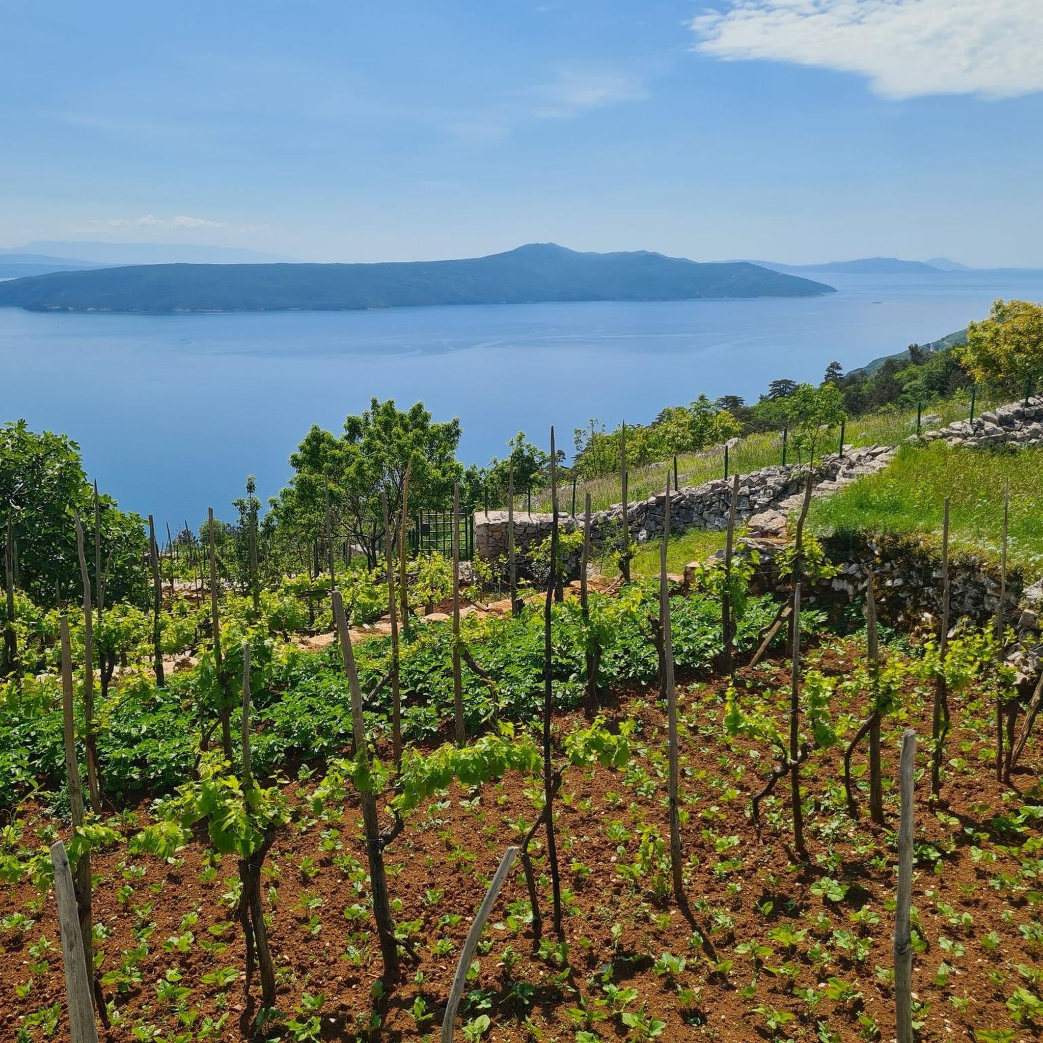
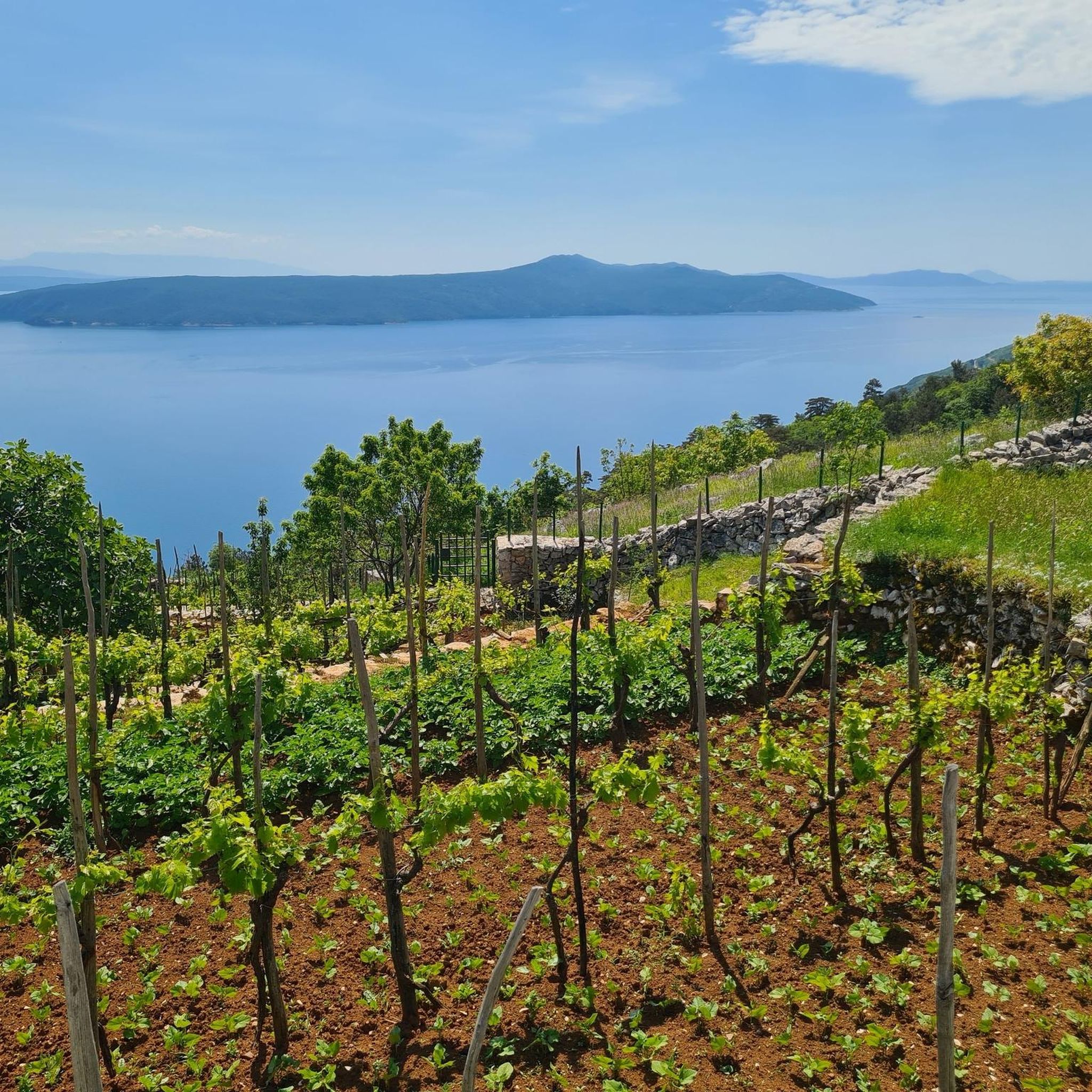
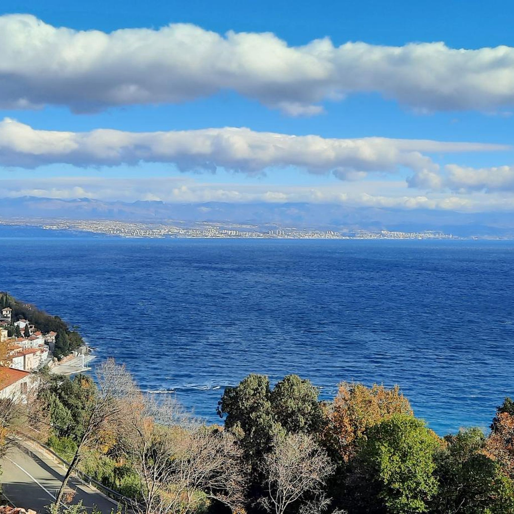
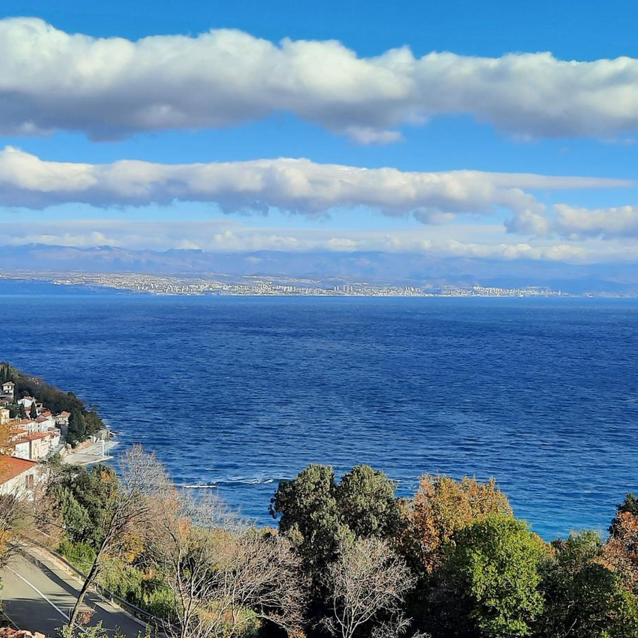
Tips from the Community

The Vojak Tower („Kula na Vojaku“) stands directly on the 1,401 m high Vojak, the highest peak of Učka and the entire Istrian peninsula. It was built in 1911 by the Austrian Tourist Club and served as an Austro-Hungarian military and maritime observation post during World War I. In 2004 it was completely renovated; today it houses an information point, a small souvenir area, and the observation deck with telescopes.
0
0
The Vojak summit is with 1,401 m the highest point of Učka and at the same time the highest peak of the Istrian peninsula. Directly at the summit stands the striking stone observation tower from 1911.
0
0
Yes – from Vojak on Učka you have a very good view of Rijeka and the entire Kvarner Bay. The city is particularly well seen from the viewing platform of the Vojak tower at an altitude of 1,401 m. The view extends beyond Rijeka towards Gorski kotar, Krk and, in clear weather, all the way to Velebit.
0
0

Mega beautiful 360° view. In good weather you can see really far.
0
0

At the summit at 1400 meters, you have a 360-degree view of the surroundings.
0
0

A beautiful hike through the forest is rewarded at the top with a stunning view. If you're lucky, you might even witness paragliders or hang gliders taking off from up there.
0
0

The highest point of the tour with fantastic panoramic views
0
0
Frequently Asked Questions
What kind of terrain can I expect on mountaineering routes around Općina Mošćenička Draga?
The region offers a diverse range of terrain, primarily within Učka Nature Park. You'll encounter rugged mountain landscapes, lush forests, and rocky karst formations. Trails vary from forest paths and gorges to open viewpoints, with elevations reaching up to 1,401 meters at Vojak Peak. Limestone formations also provide opportunities for climbing in the hinterland.
Are there any circular mountaineering routes available in Općina Mošćenička Draga?
Yes, several excellent circular routes are available. For example, the View of Kvarner Bay – Vojak Stone Tower loop from Vela Učka is a moderate 4.4-mile (7.2 km) trail offering panoramic views. Another option is the Vojak Stone Tower – Sedlo Pass Stone Spiral loop from Vela Učka, which is 7.0 miles (11.3 km) and takes about 4 hours 8 minutes to complete.
What are some notable landmarks or viewpoints I can see along the mountaineering routes?
Many routes lead to spectacular viewpoints. The summit of Vojak, Mount Učka's highest point, features a stone tower offering breathtaking 360-degree panoramic views of the Adriatic Sea, Kvarner Bay, Istria, and surrounding mountains. You might also encounter the Babino Zaklonište Shelter in Učka Nature Park, which serves as a great resting point with views. The region also has charming medieval towns like Mošćenice and Brseč, and the mythical-historical 'Trebišća – Perun' trail.
Are there any family-friendly mountaineering options in the area?
While many mountaineering routes in Općina Mošćenička Draga involve challenging ascents, the Učka Nature Park also offers trails suitable for various fitness levels. For families, consider exploring parts of the park that are less strenuous or shorter in duration. Always check the specific route's difficulty and elevation gain to ensure it's appropriate for all family members.
What is the best time of year for mountaineering in Općina Mošćenička Draga?
The region is generally enjoyable for mountaineering from spring through autumn. Spring brings lush greenery and pleasant temperatures, while autumn offers vibrant foliage. Summer can be warm, especially at lower elevations, but higher peaks like Vojak provide cooler air. Winter mountaineering is possible but may require specialized gear due to snow and ice, particularly at higher altitudes.
What do other mountaineers enjoy most about the routes in Općina Mošćenička Draga?
The routes in Općina Mošćenička Draga are highly rated by the komoot community, with an average score of 4.9 stars from over 7 reviews. Mountaineers often praise the stunning panoramic views from peaks like Vojak, the diverse landscapes ranging from coastal vistas to rugged mountain terrain, and the well-maintained trails within Učka Nature Park.
Are there any challenging mountaineering routes for experienced climbers?
Yes, for experienced mountaineers, there are more challenging routes. The Vojak Stone Tower loop from Općina Lovran is a difficult 11.2-mile (18.1 km) route with over 1400 meters of elevation gain. Another demanding option is the Sedlo Pass Stone Spiral – Vojak Stone Tower loop from Općina Lovran, a difficult 7.8-mile (12.5 km) trail with over 1000 meters of ascent.
Where can I find parking for mountaineering routes in Općina Mošćenička Draga?
Parking is typically available at common starting points for trails, especially near popular access points to Učka Nature Park, such as Vela Učka or Poklon Pass. It's advisable to check specific route descriptions for recommended parking areas, as some smaller trailheads might have limited space.
Are dogs allowed on the mountaineering trails?
Učka Nature Park generally welcomes dogs, but they should be kept on a leash, especially to protect local wildlife and ensure the safety of other hikers. Always check specific park regulations or trail signs, as some sensitive areas might have restrictions.
Are there any historical or cultural points of interest along the trails?
Absolutely. The region is rich in history and culture. You can explore the mythical-historical 'Trebišća – Perun' trail, which is part of the Mošćenička Draga Ecomuseum. The charming medieval towns of Mošćenice and Brseč are also nearby, with the path from Mošćenička Draga to Mošćenice featuring 753 ancient steps, offering both a physical challenge and a historical journey.
How long do mountaineering routes typically take in Općina Mošćenička Draga?
The duration of routes varies significantly based on length and difficulty. Moderate trails like the Sedlo Pass Stone Spiral – Steep Descent to Sedlo Pass loop from Vela Učka, which is 6.4 miles (10.3 km), can take around 3 hours 40 minutes. More difficult and longer routes, such as the Vojak Stone Tower loop from Općina Lovran, can take over 7 hours.
Most popular routes around Općina Mošćenička Draga
Most popular attractions around Općina Mošćenička Draga

Get inspired with the komoot mobile app


Explore more
Browse the best Mountain Hikes & Routes in other regions.
