The best walks and hikes around Općina Mošćenička Draga
4.5
(1405)
6,288
hikers
20
hikes
Hiking around Općina Mošćenička Draga offers diverse terrain, characterized by the Učka mountain range meeting the Adriatic coast. The region features dense forests, deep gorges, and trails leading to panoramic viewpoints over Kvarner Bay. Elevations range from sea level to peaks like Sisol, providing varied hiking experiences.
Best hiking trails around Općina Mošćenička Draga
- The most popular hiking route is Trebisca Water Mill – View of the Kvarner Bay loop from Mošćenička Draga, a 6.8 miles (11.0 km) trail that takes 3 hours 31 minutes to complete. This moderate route offers views of the Kvarner Bay and passes a historic water mill.
- Another top favourite among local hikers is View of the Kvarner Bay – Mošćenička Draga loop from Mošćenička Draga, an easy 3.6 miles (5.7 km) path. This trail provides coastal scenery and takes approximately 1 hour 48 minutes.
- Local hikers also love the Charming Historic Alleys – Sisol Peak loop from Brseč, a 6.3 miles (10.2 km) trail leading through historic alleys and towards Sisol Peak, often completed in about 4 hours 33 minutes.
- Hiking around Općina Mošćenička Draga is defined by mountainous terrain, coastal paths, and lush forests, offering routes for various fitness levels. The network includes trails through Učka Nature Park and along the Kvarner Bay.
- The routes in Općina Mošćenička Draga are highly rated by the komoot community with an average score of 4.6 stars from more than 380 reviews. More than 1900 hikers have used komoot to explore Općina Mošćenička Draga's varied terrain.
Last updated: July 1, 2026
4.7
(41)
148
hikers
11.0km
03:31
450m
460m
Moderate hike. Good fitness required. Easily-accessible paths. Suitable for all skill levels.
4.9
(28)
92
hikers
5.75km
01:48
220m
220m
Easy hike. Great for any fitness level. Easily-accessible paths. Suitable for all skill levels.

Sign up for free
4.2
(12)
36
hikers
Moderate hike. Good fitness required. Easily-accessible paths. Suitable for all skill levels.
4.8
(8)
33
hikers
20.8km
07:54
1,360m
1,360m
Hard hike. Very good fitness required. Mostly accessible paths. Sure-footedness required.
4.9
(8)
21
hikers
3.55km
01:10
150m
150m
Easy hike. Great for any fitness level. Easily-accessible paths. Suitable for all skill levels.
4.9
(8)
19
hikers
3.38km
01:06
140m
150m
Easy hike. Great for any fitness level. Easily-accessible paths. Suitable for all skill levels.
4.9
(7)
31
hikers
6.56km
02:04
240m
240m
Moderate hike. Good fitness required. Easily-accessible paths. Suitable for all skill levels.
5.0
(2)
15
hikers
10.9km
04:33
650m
650m
Hard hike. Good fitness required. Sure-footedness, sturdy shoes and alpine experience required.
4.5
(8)
17
hikers
7.43km
02:38
390m
390m
Moderate hike. Good fitness required. Mostly accessible paths. Sure-footedness required.
5.0
(3)
10
hikers
2.16km
00:51
160m
160m
Easy hike. Great for any fitness level. Easily-accessible paths. Suitable for all skill levels.
Get access to more routes and recommendations from other explorers.
Sign up for free
Already have an account?
Our route recommendations are based on thousands of hikes, rides, and runs completed by other people on komoot.
Start today with a free account
Your next adventure awaits.
Login or Signup
Popular around Općina Mošćenička Draga
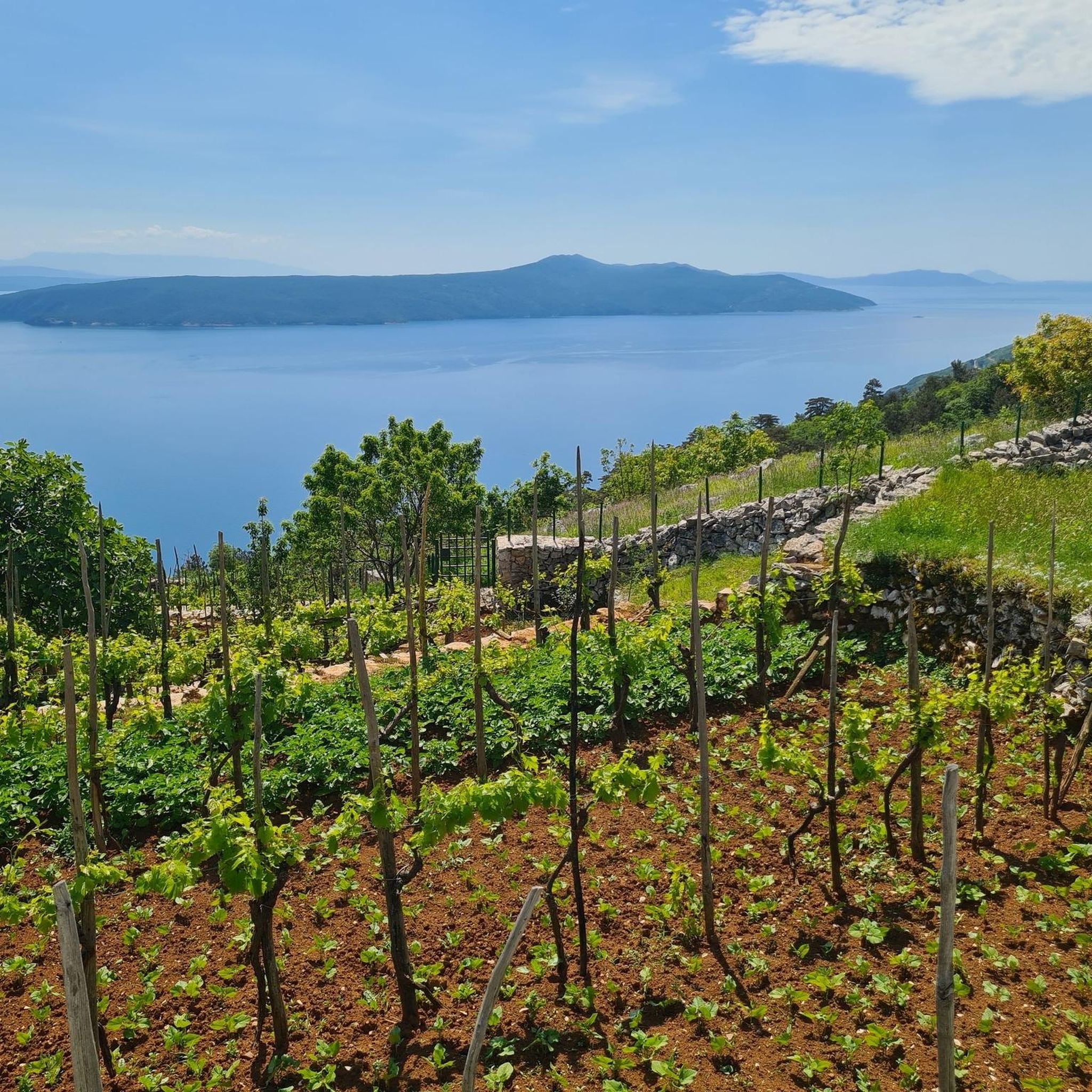
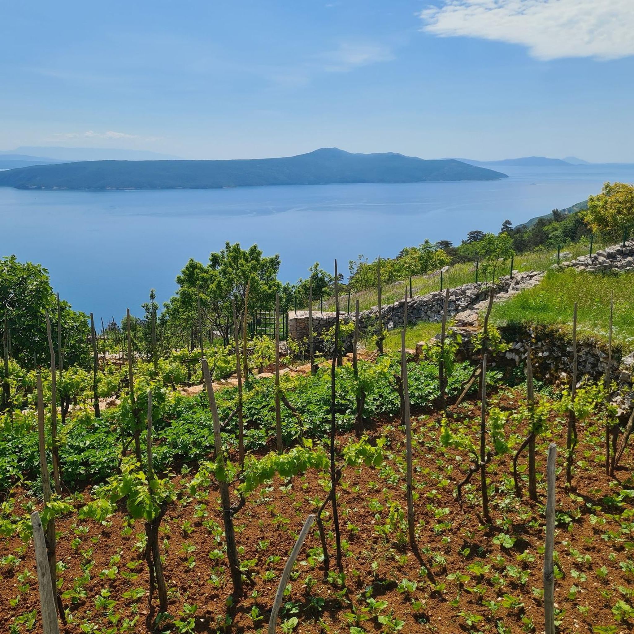
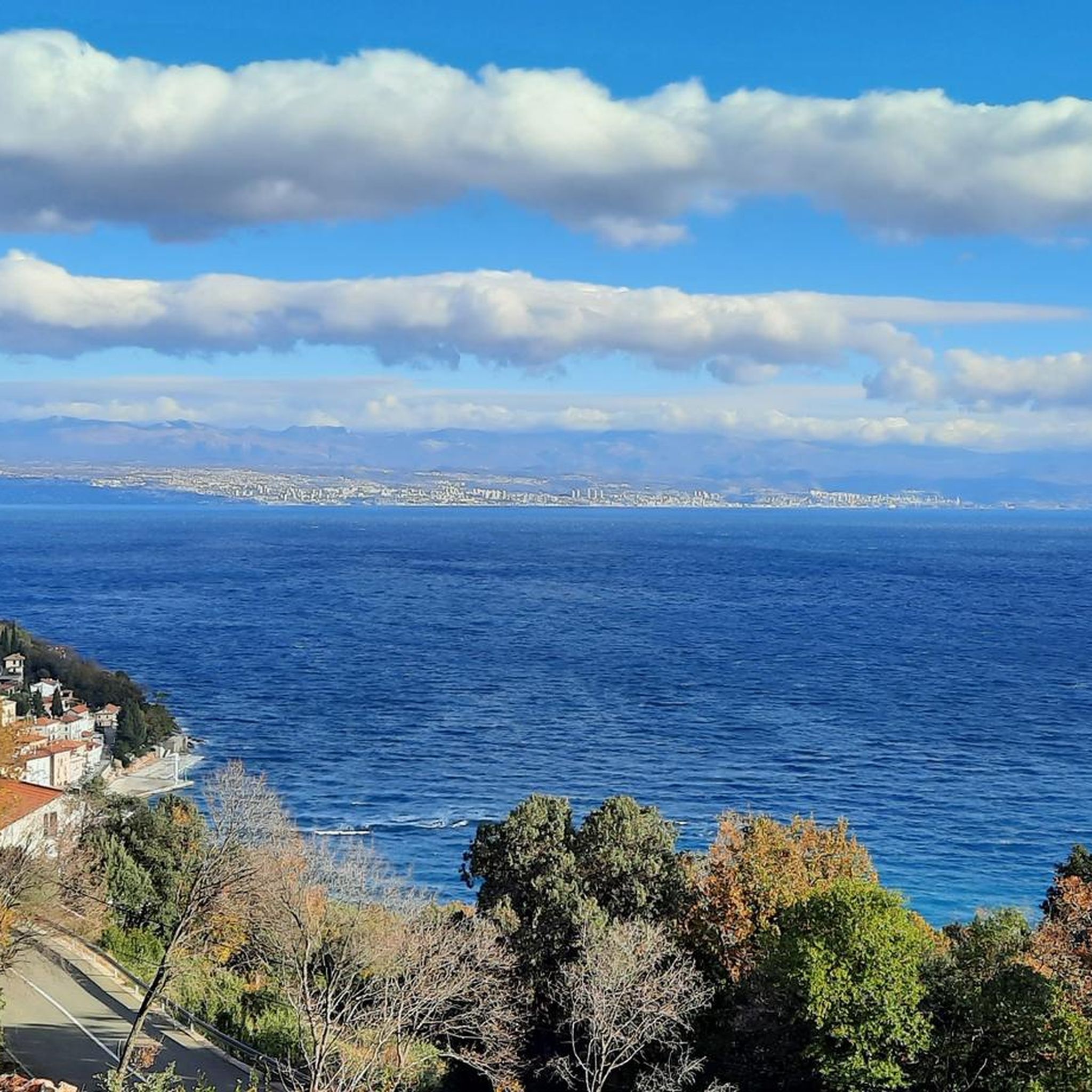
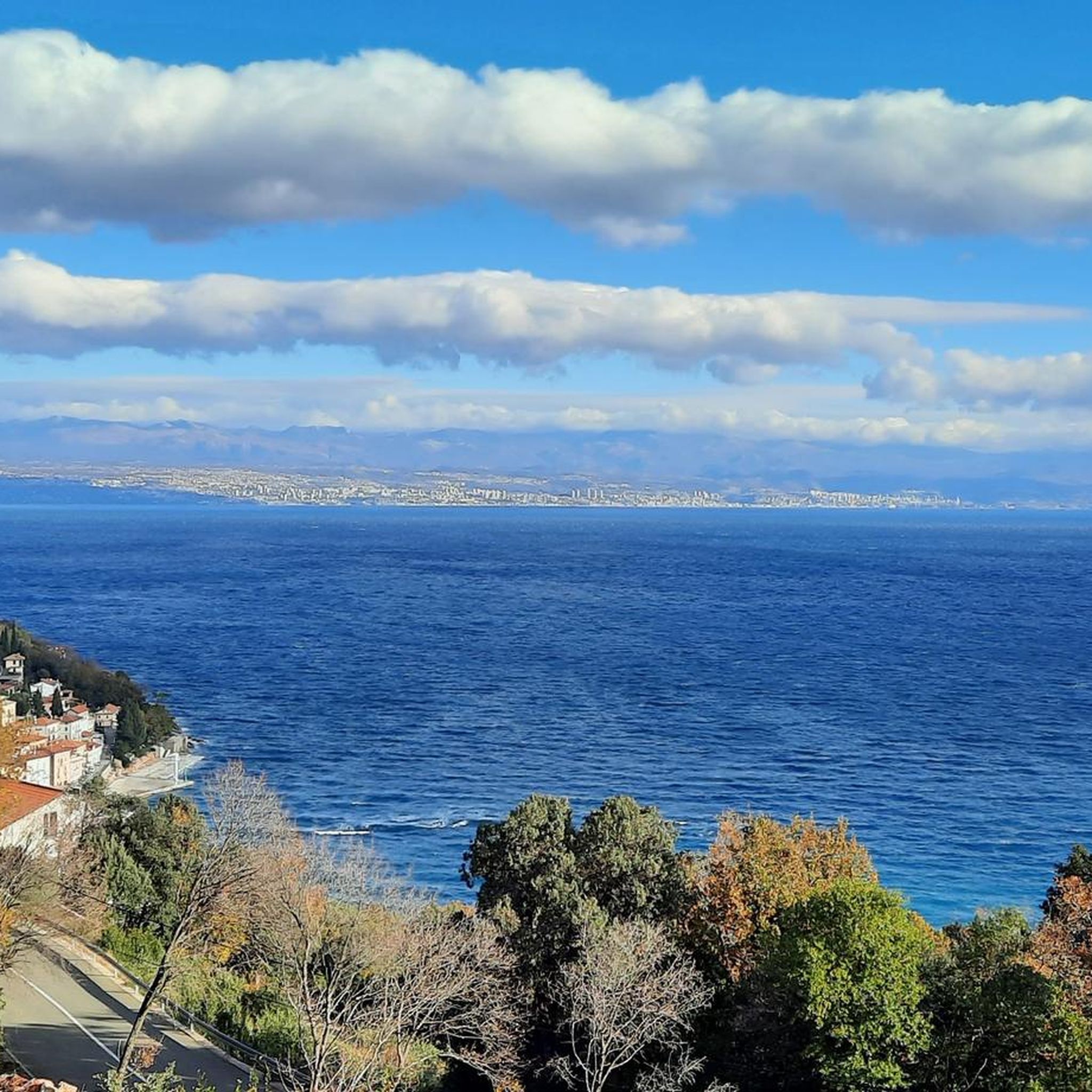
Tips from the Community

At the summit at 1400 meters, you have a 360-degree view of the surroundings.
0
0

Check weather cause it can be very ugly if there is rain and winds
0
0

A beautiful hike through the forest is rewarded at the top with a stunning view. If you're lucky, you might even witness paragliders or hang gliders taking off from up there.
0
0

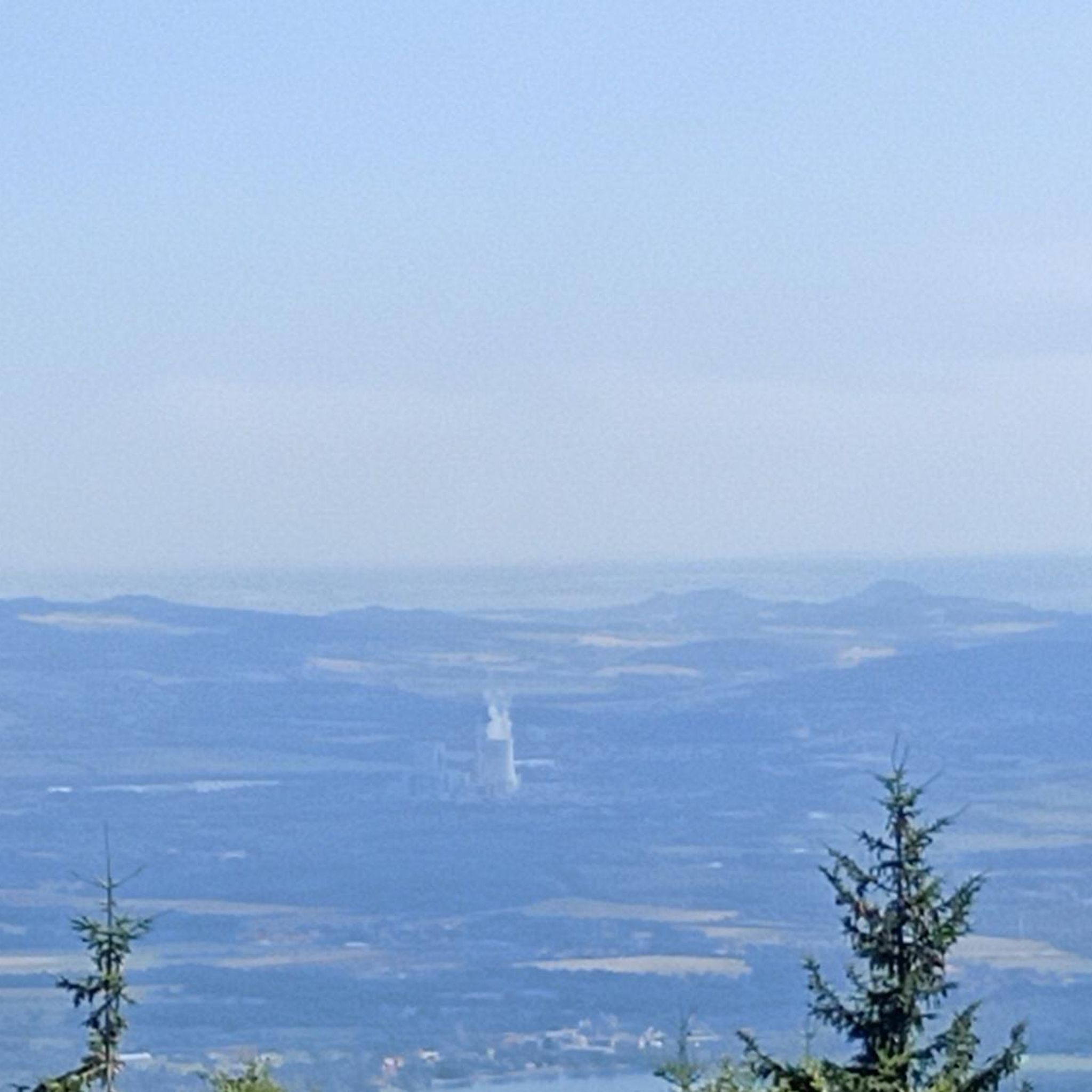
Unfortunately a bit hazy today, but you can still sense the beauty
0
0
The highest point of the tour with fantastic panoramic views
0
0

Spectacular view of the sea, the ideal place for a break just before the actual summit
0
0

Frequently Asked Questions
How many hiking trails are available in Općina Mošćenička Draga?
There are over 20 hiking routes in Općina Mošćenička Draga, offering a diverse range of experiences from easy coastal strolls to challenging mountain ascents. These trails are highly rated by the komoot community, with an average score of 4.6 stars.
What types of landscapes can I expect to see while hiking here?
Hikers can experience a unique blend of mountainous terrain from the Učka range and stunning coastal views of the Adriatic Sea and Kvarner Bay. The region features dense forests, deep gorges like the canyon of Potoška vala, and trails leading to panoramic viewpoints. You'll find everything from Mediterranean vegetation at lower elevations to beech and oak forests higher up.
Are there any family-friendly hiking options in Općina Mošćenička Draga?
Yes, there are several easy routes suitable for families. For example, the View of the Kvarner Bay – Mošćenička Draga loop from Mošćenička Draga is an easy 5.7 km path offering pleasant coastal scenery. Another gentle option is the Church of St. Anthony loop from Mošćenička Draga, which is 3.55 km long.
Can I find trails with waterfalls in the area?
Yes, Učka Nature Park, which borders Općina Mošćenička Draga, is known for its waterfall hiking trails. The Rečina Waterfall loop from Dobreć is a popular moderate route that allows you to experience these natural features.
Are there any circular hiking routes available?
Many trails in Općina Mošćenička Draga are designed as loops, allowing you to start and end in the same location. Examples include the moderate Trebisca Water Mill – View of the Kvarner Bay loop from Mošćenička Draga, and the more challenging Vojak Lookout Tower – View of Rijeka from Mount Učka loop from Mošćenička Draga.
What historical or cultural sites can I explore while hiking?
The region is rich in history. You can explore charming medieval towns like Mošćenice and Brseč. The Charming Historic Alleys – Sisol Peak loop from Brseč takes you through historic alleys. The View of the Kvarner Bay – Mošćenice Old Town loop from Mošćenička Draga leads to Mošćenice, which is connected by 753 stone steps and features an old town loggia and churches. You can also visit the Trebisca Water Mill.
Are there any trails that offer panoramic viewpoints?
Absolutely. Many trails in the Učka Nature Park and along the coast provide stunning vistas. The View from Vela Draga Cave – View of Draga and Cres Island loop from Mošćenička Draga offers great views. The highest point in Istria, Vojak (1,396 m) on Mount Učka, is accessible via trails like the Vojak Lookout Tower – View of Rijeka from Mount Učka loop from Mošćenička Draga, rewarding hikers with breathtaking views of the Kvarner Bay and its islands.
What is the best time of year to go hiking in Općina Mošćenička Draga?
The region offers pleasant hiking conditions for much of the year. Spring and autumn are ideal, with milder temperatures and lush scenery. Summer can be warm, especially at lower elevations, but higher trails in Učka Nature Park offer cooler air. Winter hiking is possible, particularly on coastal paths, but higher mountain trails may require appropriate gear due to snow or ice.
Is public transport available to reach trailheads?
While Općina Mošćenička Draga is accessible, public transport options directly to all trailheads, especially those deep within Učka Nature Park, might be limited. It's advisable to check local bus schedules for connections to main towns like Mošćenička Draga or Brseč, and then plan your hike from there or consider local taxi services for more remote starting points.
Where can I find parking for hiking trails?
Parking is generally available in the main towns and villages such as Mošćenička Draga and Brseč, which serve as common starting points for many trails. For trails within Učka Nature Park, designated parking areas are usually provided near popular trailheads. It's recommended to arrive early during peak season to secure a spot.
Are there any challenging hikes for experienced hikers?
Yes, the Učka mountain range offers demanding trails. For instance, the Vojak Lookout Tower – View of Rijeka from Mount Učka loop from Mošćenička Draga is a difficult 20.8 km route with significant elevation gain, leading to the highest peak in Istria. Another challenging option is the Provrtenica Natural Arch – Sisol Peak loop from Brseč.
What makes hiking in Općina Mošćenička Draga unique?
The unique appeal of hiking here lies in the 'sea-to-summit' experience, where you can start at sea level and ascend to peaks like Vojak, experiencing diverse vegetation zones and dramatic changes in scenery. The blend of Mediterranean coastlines with the rugged Učka mountain range, coupled with mythical-historical trails and charming old towns, creates a truly distinctive hiking environment.
Most popular routes around Općina Mošćenička Draga
Most popular attractions around Općina Mošćenička Draga

Get inspired with the komoot mobile app


Explore more
Browse the best Hikes in other regions.
