The best running trails around Ljubešćica
4.0
(3)
66
runners
5
runs
Jogging around Ljubešćica offers a diverse landscape for runners, characterized by varied terrain that includes recreational areas, historical sites, and significant hills. The region features routes with notable elevation gains, particularly towards the Ivanščica Peak, which reaches 1,060 meters. Runners can expect a mix of paths through natural areas and trails leading to cultural landmarks. The topography provides options ranging from moderate loops to challenging long-distance running trails.
Best jogging routes around Ljubešćica
- The most popular jogging route is Lužec…
Last updated: October 8, 2026
5.0
(1)
21
runners
9.11km
01:07
210m
210m
Moderate run. Good fitness required. Mostly accessible paths. Some sure footedness required.
3.0
(2)
19
runners
9.21km
01:09
190m
190m
Moderate run. Good fitness required. Mostly accessible paths. Some sure footedness required.

8
runners
28.8km
04:19
1,150m
1,150m
Hard run. Very good fitness required. Sure-footedness, sturdy shoes and alpine experience required.
4
runners
28.1km
04:02
1,150m
1,150m
Hard run. Very good fitness required. Sure-footedness, sturdy shoes and alpine experience required.
3
runners
14.2km
01:50
470m
450m
Hard run. Very good fitness required. Mostly paved surfaces. Suitable for all skill levels.
Our route recommendations are based on thousands of hikes, rides, and runs completed by other people on komoot.
Start today with a free account
Your next adventure awaits.
Tips from the Community

Everything nicely in one place with the Romans: from a sanctuary to a bath to the basilica. I think it's great how nice they had it even back then...
2
0

Aquae Iasae was a Roman settlement in the area of today's Varaždinske Toplice. Today it is the name of an archaeological site.
2
0

The mountain lodge is open on Fridays from 3 pm :(
0
0

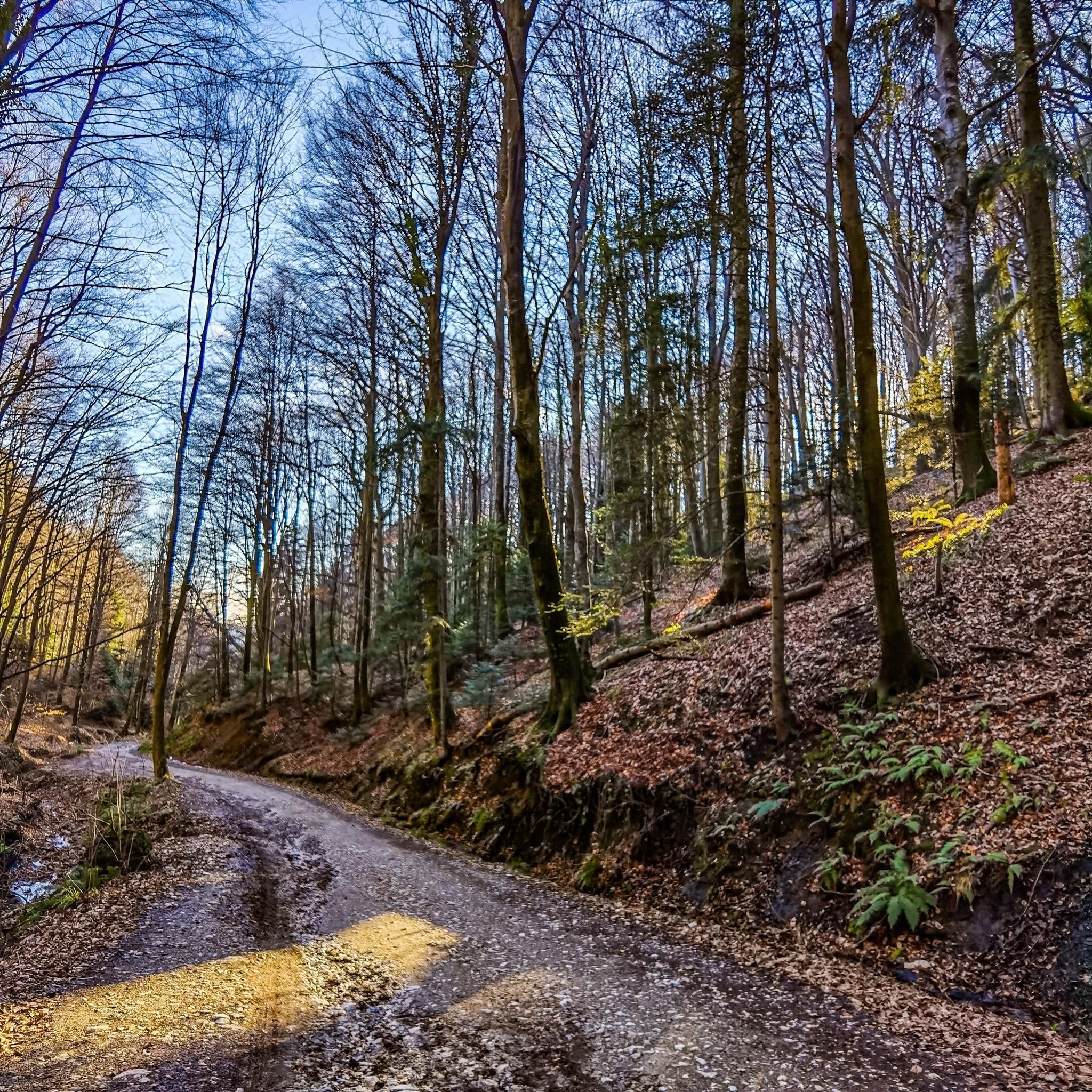
The path up and down was very, very steep, and on the way down, there were some slippery slopes. The hut at the top is only open on weekends and public holidays (and probably also on the day before a holiday). Good fitness is required.
1
0

Mountain house, very good food (weekends)
0
0
Keep in mind that very cold winds blow in winter. And it can be fresh in the summer as well.
3
0


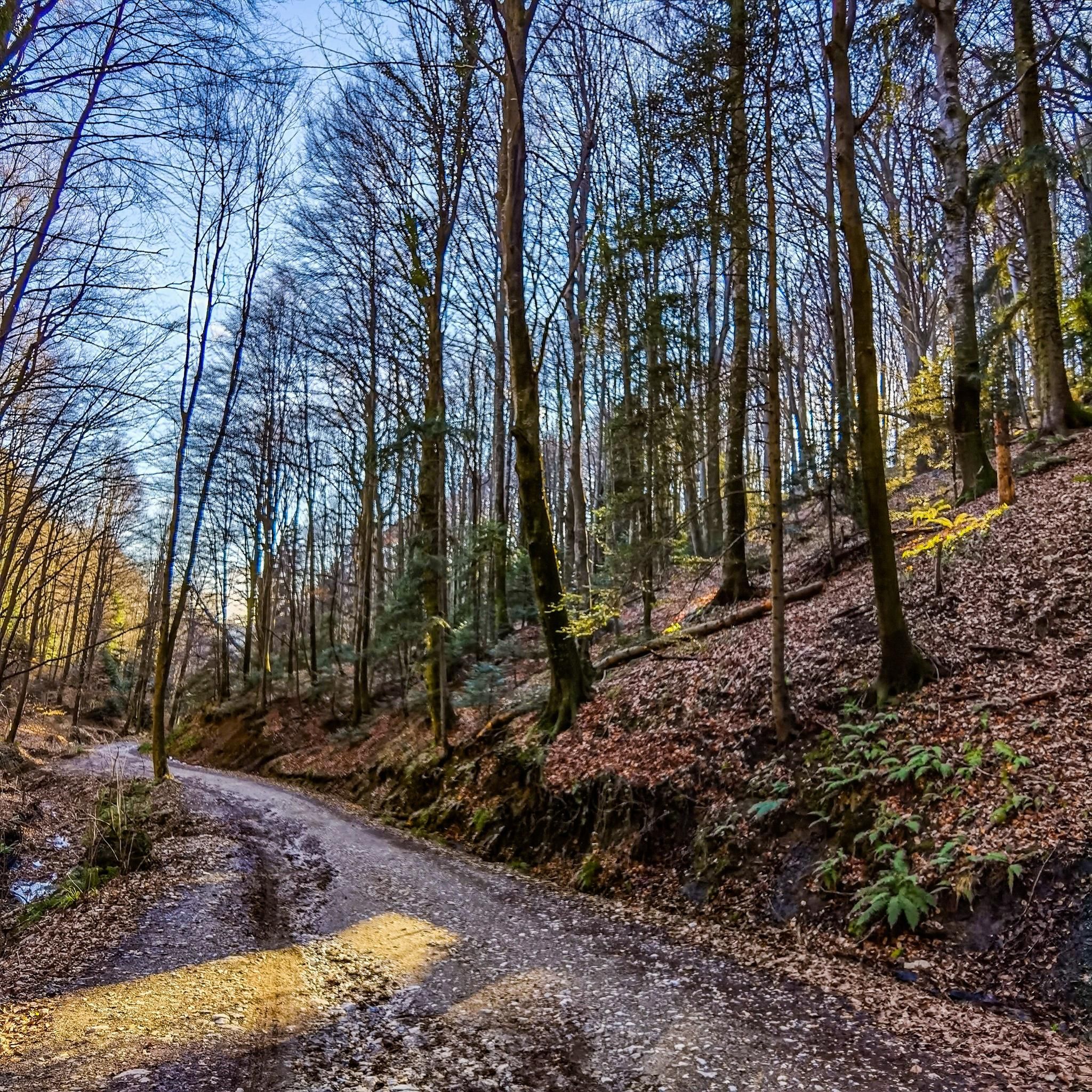
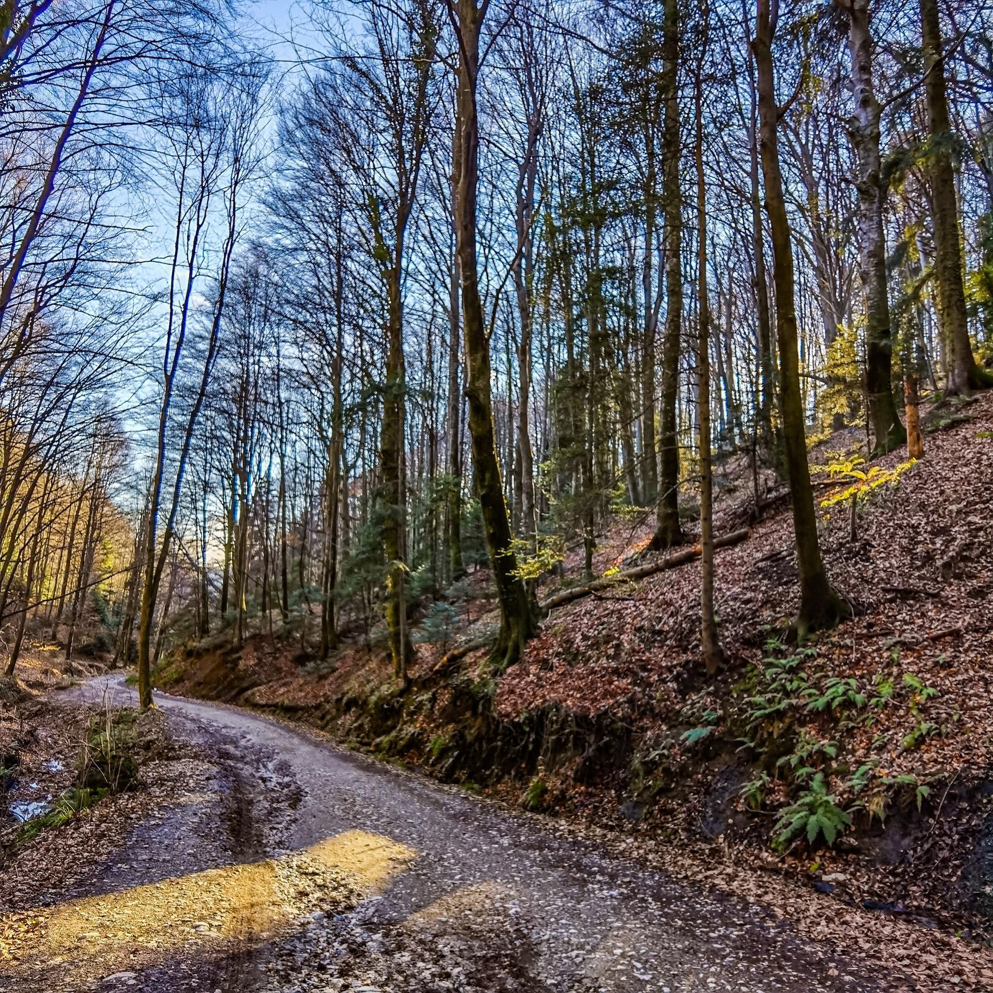
Lujček's house is a mountain lodge located in Pokojec, at 434m above sea level. The home is managed by HPD Milengrad from Budinščina. We can reach the lodge through Završje Podbelsko - Bela - Belski dol (spring, quarry), then turn onto a macadam road 1.3 km long. From Lujček's house there are hiking trails to Milengrad, Ivanščica, Grebengrad, Ham and Čevo. The forest road from Lujček's house leads to the Railway, 7 km away, the first part of the road is about 1 km muddy and full of holes, followed by excellent macadam.
0
0
Frequently Asked Questions
How many running routes are available around Ljubešćica?
There are currently over 5 dedicated running routes around Ljubešćica listed on komoot. These routes offer a variety of experiences, from moderate loops to challenging long-distance trails.
Are there any beginner-friendly or moderate jogging routes in Ljubešćica?
Yes, for those looking for a moderate run, the Lužec Recreation Area loop from Presečno is a great option. It's a 9.6 km trail that explores a local recreational area. Another moderate choice is the Aquae Iasae loop from Varaždinske Toplice, which is 9.0 km and takes you through an area of historical significance.
What kind of terrain can I expect on the running trails in Ljubešćica?
The running trails around Ljubešćica feature a diverse landscape. You can expect varied terrain including paths through natural recreational areas, trails leading to historical sites, and significant elevation gains, especially on routes heading towards the Ivanščica Peak. The topography offers a mix of surfaces and challenges.
Are there any long-distance or challenging running trails in the Ljubešćica area?
Absolutely. For experienced runners seeking a challenge, the Lujčekova Hiža Mountain Hut – Ivanščica Peak (1,060 m) loop from Bela is an 18.6-mile (29.9 km) trail that leads through mountainous terrain. Another demanding option is the Škrinja – Peca loop from Kalnik, covering over 28 km with significant elevation.
What are some notable landmarks or points of interest along the running routes?
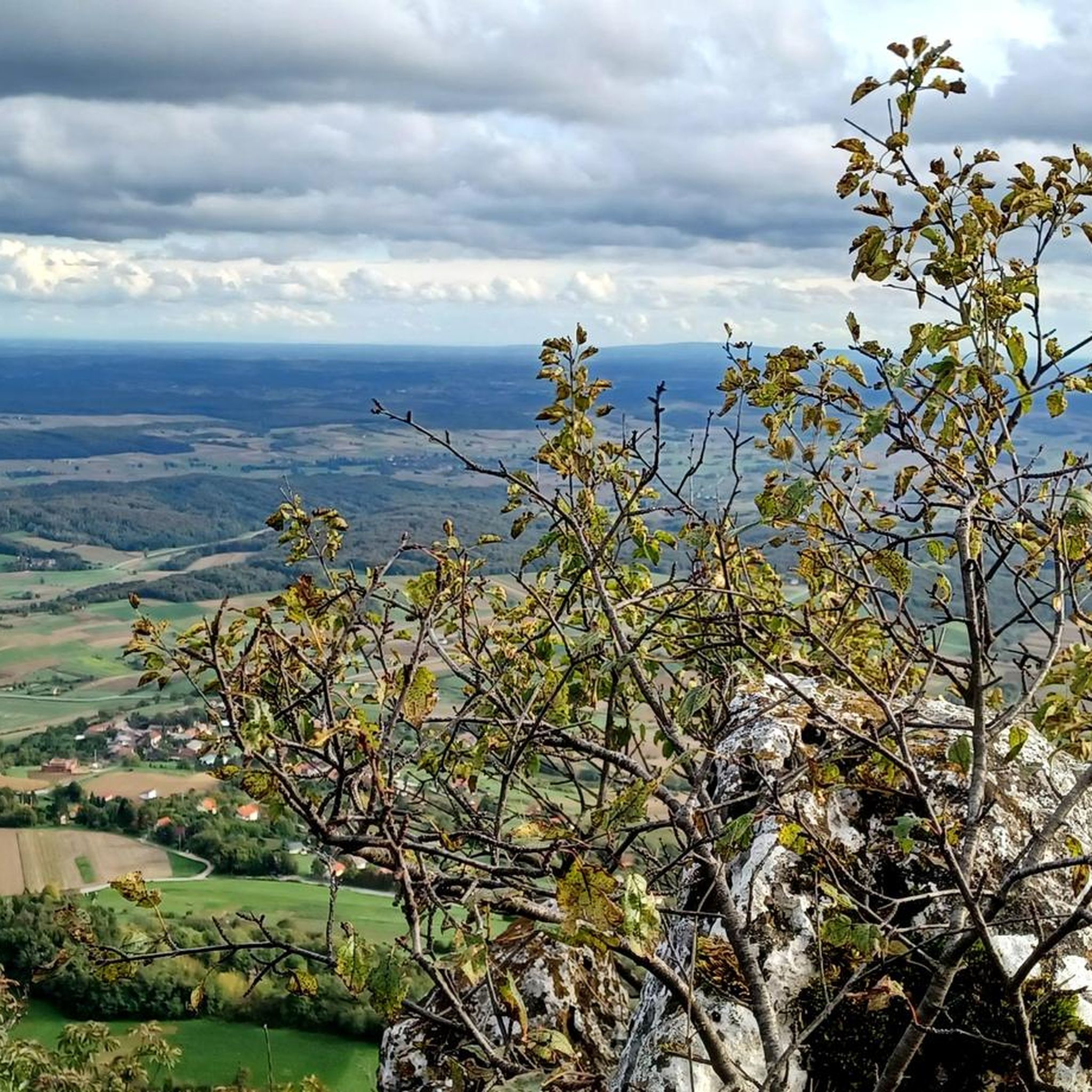
Many routes incorporate interesting features. For instance, the Aquae Iasae loop from Varaždinske Toplice takes you through an area known for its historical significance. Other trails lead to destinations like the Ivanščica Peak, offering panoramic views, or past the Milengrad Castle Ruins on the Lujčekova Hiža Mountain Hut – Milengrad Castle Ruins loop from Podrute.
Is Ljubešćica a good place for family-friendly running or walking?
While specific 'easy' routes aren't listed, the moderate trails, particularly those through recreational areas like the Lužec Recreation Area loop from Presečno, can be suitable for families looking for a less strenuous activity. Always consider the distance and elevation profile to match your family's fitness level.
What is the best time of year to go running in Ljubešćica?
Spring and autumn generally offer the most pleasant conditions for running in Ljubešćica, with milder temperatures and beautiful scenery. Summer can be warm, especially at lower elevations, so early mornings or late afternoons are preferable. Winter running is possible, particularly on lower trails, but higher mountain routes may require appropriate gear for snow and ice.
Are there circular running routes available in Ljubešćica?
Yes, many of the popular running trails in Ljubešćica are designed as loops. Examples include the Lužec Recreation Area loop from Presečno, the Aquae Iasae loop from Varaždinske Toplice, and the challenging Lujčekova Hiža Mountain Hut – Ivanščica Peak (1,060 m) loop from Bela. These circular routes allow you to start and finish at the same point.
What do other runners enjoy most about jogging in Ljubešćica?
The komoot community highly rates the varied terrain and the mix of recreational areas, historical sites, and challenging mountain paths. Over 50 runners have used komoot to explore the region, often praising the diverse options available for different ability levels, from moderate loops to difficult long-distance trails.
Is parking generally available near the trailheads for running routes?
While specific parking details for each trailhead are not always provided, most popular starting points for outdoor activities in regions like Ljubešćica typically have designated parking areas or roadside parking options. It's advisable to check the route details on komoot for specific starting locations and plan accordingly.
Are the running trails in Ljubešćica suitable for dogs?
Many natural trails in Ljubešćica are generally dog-friendly, but it's always recommended to keep your dog on a leash, especially in populated areas, near wildlife, or on trails with livestock. Ensure your dog is fit enough for the chosen route's distance and elevation, and always carry water for both yourself and your pet.

Get inspired with the komoot mobile app


Explore more
Browse the best Running Trails & Routes in other regions.
