The best walks and hikes around Ljubešćica
4.8
(277)
812
hikers
16
hikes
Hiking around Ljubešćica offers access to the Kalnik mountain range, a prominent natural feature in the region. The area is characterized by diverse terrain, including forested landscapes and historical sites. Notable features include the Veliki Kalnik Castle Ruins and Vranilac Peak, which provide both cultural interest and elevated viewpoints. The proximity to these natural and historical landmarks makes Ljubešćica a base for exploring the surrounding environment.
Best hiking trails around Ljubešćica
- The most popular hiking route is Vranilac Peak – Veliki Kalnik Castle Ruins loop from Vojnovec Kalnički, a 5.9 miles (9.4 km) trail that takes 3 hours 6 minutes to complete. This difficult route combines a peak ascent with historical ruins.
- Another top favourite among local hikers is Veliki Kalnik Castle Ruins – Vranilac Peak loop from Kalnik, a difficult 6.2 miles (9.9 km) path. This trail also connects the historic castle ruins with Vranilac Peak, offering varied scenery.
- Local hikers also love the Grebengrad Mountain Lodge – Veliko Čevo Peak (562 m) loop from Mađarevo, a 10.8 miles (17.3 km) trail leading through mountainous terrain, often completed in about 6 hours 13 minutes.
- Hiking around Ljubešćica is defined by the Kalnik mountain range, Vranilac Peak, and historical sites like Veliki Kalnik Castle Ruins. The network offers options for various ability levels, including easy, moderate, and difficult trails.
- The routes in Ljubešćica are highly rated by the komoot community with an average score of 4.8 stars from over 240 reviews. More than 700 hikers have used komoot to explore Ljubešćica's varied terrain.
Last updated: July 5, 2026
4.7
(11)
81
hikers
9.49km
03:07
370m
370m
Hard hike. Good fitness required. Sure-footedness, sturdy shoes and alpine experience required.
4.8
(13)
81
hikers
9.99km
03:29
340m
340m
Hard hike. Good fitness required. Sure-footedness, sturdy shoes and alpine experience required.

Sign up for free
4.8
(17)
62
hikers
17.3km
06:14
800m
800m
Hard hike. Very good fitness required. Mostly accessible paths. Sure-footedness required.
5.0
(4)
24
hikers
9.25km
03:14
450m
450m
Hard hike. Good fitness required. Sure-footedness, sturdy shoes and alpine experience required.
4.9
(11)
21
hikers
11.0km
03:38
460m
460m
Hard hike. Good fitness required. Sure-footedness, sturdy shoes and alpine experience required.
5.0
(4)
12
hikers
14.8km
04:32
430m
430m
Hard hike. Good fitness required. Sure-footedness, sturdy shoes and alpine experience required.
7
hikers
9.55km
03:27
310m
310m
Hard hike. Good fitness required. Sure-footedness, sturdy shoes and alpine experience required.
4
hikers
8.76km
02:24
140m
140m
Moderate hike. Good fitness required. Easily-accessible paths. Suitable for all skill levels.
Get access to more routes and recommendations from other explorers.
Sign up for free
Already have an account?
Our route recommendations are based on thousands of hikes, rides, and runs completed by other people on komoot.
Start today with a free account
Your next adventure awaits.
Login or Signup
Tips from the Community

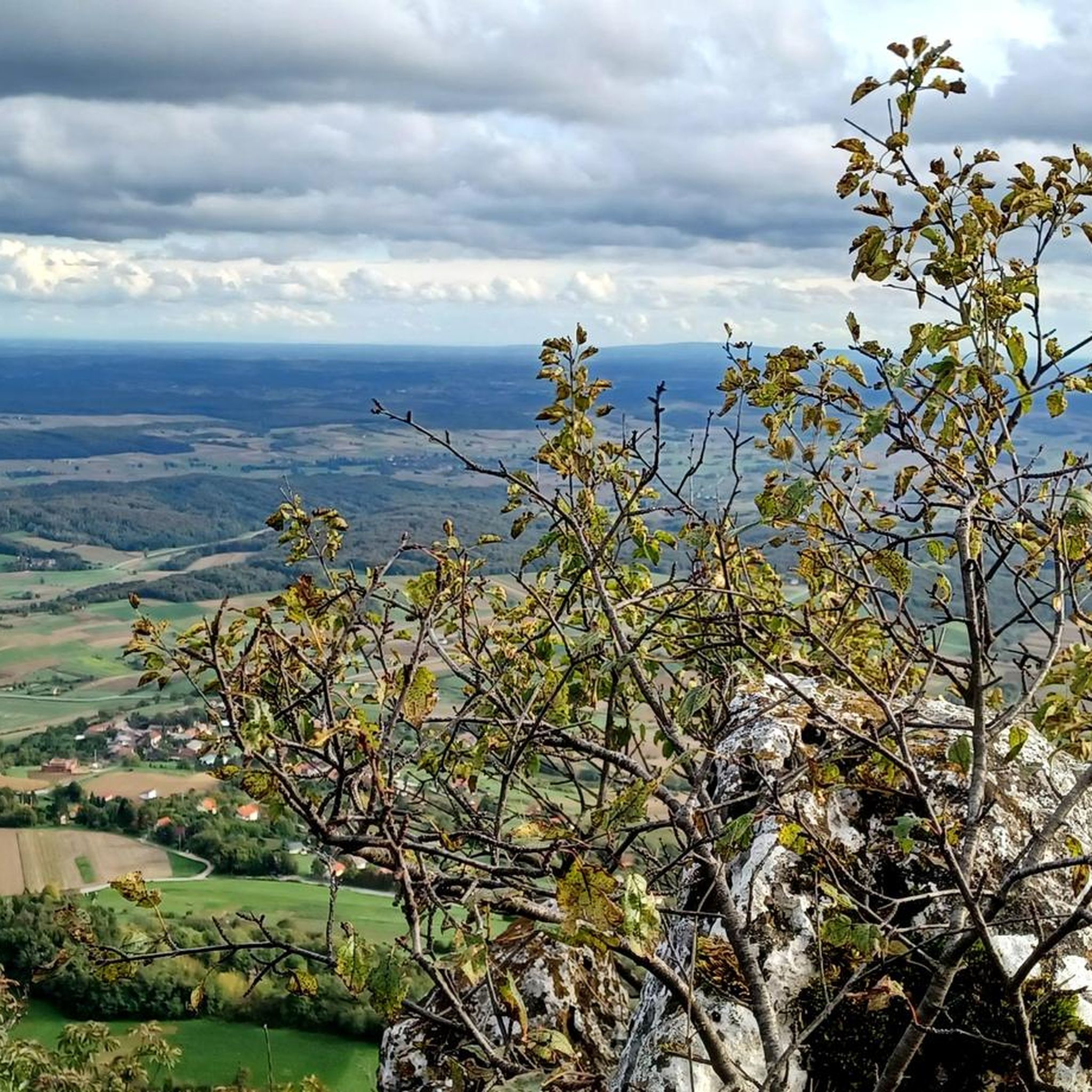
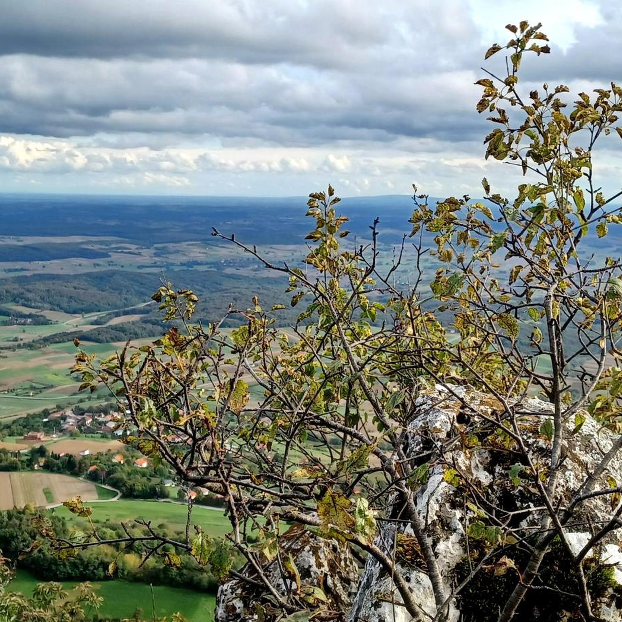
Beautiful viewpoint with wide open views. On a clear day, you can see up to 100 km.
0
0
Very nice and cosy mountain hut. Good food and accommodation. In summer there are various evening/night activities (e.g. outdoor cinema, workshops, outdoor escape room...). Recommended.
0
0

It's interesting when there are flyers.
0
0

Nice view when fog is not around. Ivanšćica can be seen from this peak
0
0
Christmas nativity scene with small figures
0
0

A place to rest and enjoy the view at the bottom of the peak
0
0
Frequently Asked Questions
How many hiking trails are available around Ljubešćica?
There are over 15 hiking routes around Ljubešćica, offering a variety of experiences. These trails primarily explore the Kalnik mountain range, featuring diverse landscapes and historical points of interest.
What kind of terrain can I expect on hikes near Ljubešćica?
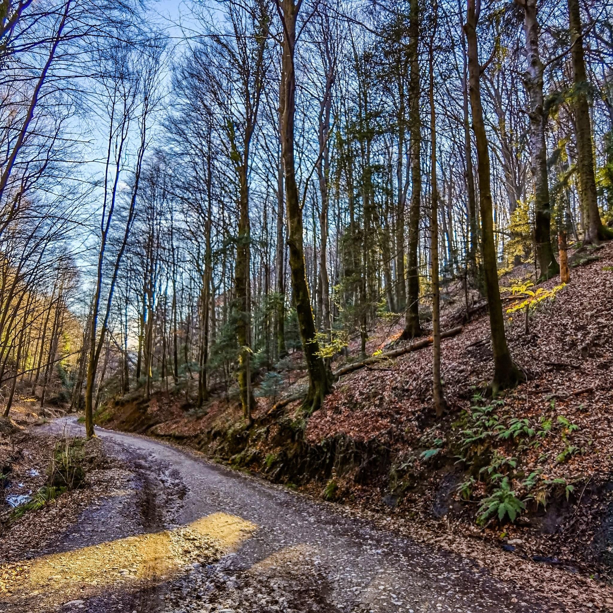
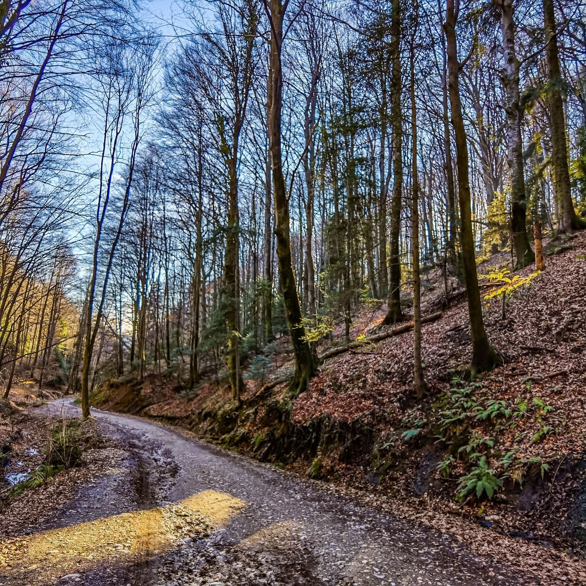
Hikes near Ljubešćica primarily traverse the Kalnik mountain range, known for its diverse terrain. You can expect a mix of forested areas, potentially rocky or karstic features, and open meadows, characteristic of the Dinaric Alps. Many routes also lead to historical sites like castles and offer panoramic views from peaks.
Are there any easy hiking trails suitable for beginners or families in Ljubešćica?
While many trails in the region are rated difficult, there are options for less experienced hikers. For a moderate and family-friendly option, consider the Gradišće Ethno Park loop from Mađarevo. This 8.7 km route takes around 2 hours 23 minutes and offers a gentler introduction to the area's natural beauty.
Can I find circular hiking routes in the Ljubešćica area?
Yes, many of the popular hiking routes around Ljubešćica are circular, allowing you to start and end at the same point. Examples include the challenging Vranilac Peak – Veliki Kalnik Castle Ruins loop from Vojnovec Kalnički and the Grebengrad Mountain Lodge – Veliko Čevo Peak (562 m) loop from Mađarevo.
What historical sites or landmarks can I see while hiking near Ljubešćica?
The region is rich in historical and natural landmarks. Many trails lead to the impressive Veliki Kalnik Castle Ruins, offering a glimpse into the past. You can also hike to Vranilac Peak for panoramic views of the surrounding landscape. The Veliki Kalnik Castle Ruins – Vranilac Peak loop from Kalnik is an excellent route that combines both these significant points of interest.
What do other hikers enjoy most about the trails around Ljubešćica?
The trails around Ljubešćica are highly rated by the komoot community, with an average score of 4.8 stars from over 240 reviews. Hikers often praise the combination of challenging mountain terrain, the historical significance of sites like the Veliki Kalnik Castle Ruins, and the rewarding panoramic views from peaks such as Vranilac.
Are there any longer, more challenging hikes for experienced trekkers?
Absolutely. For experienced trekkers seeking a challenge, the Grebengrad Mountain Lodge – Veliko Čevo Peak (562 m) loop from Mađarevo is a demanding 17.3 km route with significant elevation gain, typically taking over 6 hours to complete. Another strenuous option is the Kalnik Mountain Hut – Veliki Kalnik Castle Ruins loop from Kamešnica, covering nearly 15 km.
Is Ljubešćica a good base for exploring the Kalnik mountain range?
Yes, Ljubešćica serves as an excellent base for exploring the Kalnik mountain range. Its proximity to key attractions like the Veliki Kalnik Castle Ruins and Vranilac Peak means many trailheads are easily accessible, allowing hikers to delve into the region's diverse natural and historical offerings.
Are there any routes that specifically focus on reaching Vranilac Peak?
Yes, several routes are designed to take you to Vranilac Peak, offering stunning views. The Vranilac Peak – Kalnik Mountain Hut loop from Ljubelj Kalnički is a popular choice, covering over 9 km with a considerable elevation gain. Another option is the Vranilac Peak – Kalnik Mountain Hut loop from Kalnik.
What is the best time of year to go hiking around Ljubešćica?
The best time for hiking around Ljubešćica is generally during spring, summer, and autumn. Spring brings blooming flora, while autumn offers vibrant foliage. Summer is also suitable, though it can be warmer. Winter hiking is possible but requires appropriate gear and caution due to potentially colder temperatures and snow in higher elevations of the Kalnik range.
Are the hiking trails around Ljubešćica well-marked?
While specific details on individual trail markings are not provided, Croatian mountains, including the Dinaric Alps region where Kalnik is located, generally feature well-marked paths. It is always recommended to use a reliable navigation tool like komoot to follow the routes and ensure you stay on track.

Get inspired with the komoot mobile app


Explore more
Browse the best Hikes in other regions.
