The best MTB trails around The Municipal District of Kanturk-Mallow
4.8
(49)
358
riders
15
rides
Mountain biking around The Municipal District of Kanturk-Mallow offers diverse terrain across rolling hills, extensive woodlands, and river valleys. The region features a varied topography with elevations ranging from 39 meters to 679 meters, providing natural gradients suitable for different levels of cycling. Key natural features include the River Blackwater, River Dalua, and forests like Knockaraura Forest and Island Wood. The area is also close to the Ballyhoura Mountains, a significant destination for mountain biking with an extensive trail network.
Best mountain bike trails around The Municipal District of Kanturk-Mallow
- The most popular mountain bike trail is Ballyhoura Canon Sheehan — Seefin Mountains and Castlepook loop, a 21.1 miles (33.9 km) moderate trail that takes 3 hours 11 minutes to complete. This route offers varied terrain through the Ballyhoura region.
- Another top favourite among local mountain bikers is Mallow to Knockaraura Forest, a moderate 21.8 miles (35.1 km) path. This trail provides scenic views along the River Blackwater and through the pine forests of Knockaraura.
- Local mountain bikers also love the Mallow — Knockaroura Hilltop loop, a 9.0 miles (14.6 km) trail leading through Knockaraura Forest, often completed in about 1 hour 8 minutes.
- Mountain biking around The Municipal District of Kanturk-Mallow is defined by rolling hills, extensive forests, and river systems. The network offers options for different ability levels, from easier loops to more challenging routes with significant ascents.
- The routes in The Municipal District of Kanturk-Mallow are highly rated by the komoot community with an average score of 4.8 stars from more than 30 reviews. More than 300 mountain bikers have used komoot to explore The Municipal District of Kanturk-Mallow's varied terrain.
Last updated: August 31, 2026
5.0
(1)
10
riders
33.9km
03:11
730m
730m
Moderate mountain bike ride. Good fitness required. Advanced riding skills necessary.
35.1km
02:47
580m
580m
Moderate mountain bike ride. Good fitness required. Suitable for all skill levels.

Sign up for free
15.5km
01:43
530m
520m
Moderate mountain bike ride. Good fitness required. Suitable for all skill levels.
14.6km
01:08
240m
240m
Easy mountain bike ride. Great for any fitness level. Suitable for all skill levels.
5.0
(29)
140
riders
42.0km
03:24
770m
770m
Moderate mountain bike ride. Good fitness required. Suitable for all skill levels.
4.9
(9)
59
riders
46.7km
04:16
890m
890m
Moderate mountain bike ride. Good fitness required. Suitable for all skill levels.
4.6
(5)
75
riders
13.6km
01:20
340m
350m
Moderate mountain bike ride. Good fitness required. Advanced riding skills necessary.
5.0
(2)
13
riders
21.8km
02:18
560m
560m
Moderate mountain bike ride. Good fitness required. Advanced riding skills necessary.
9
riders
13.6km
01:22
310m
310m
Hard mountain bike ride. Good fitness required. Advanced riding skills necessary. Some portions of the route may require you to push your bike.
1
riders
Moderate mountain bike ride. Good fitness required. Advanced riding skills necessary.
Get access to more routes and recommendations from other explorers.
Sign up for free
Already have an account?
Our route recommendations are based on thousands of hikes, rides, and runs completed by other people on komoot.
Start today with a free account
Your next adventure awaits.
Login or Signup
Popular around The Municipal District of Kanturk-Mallow
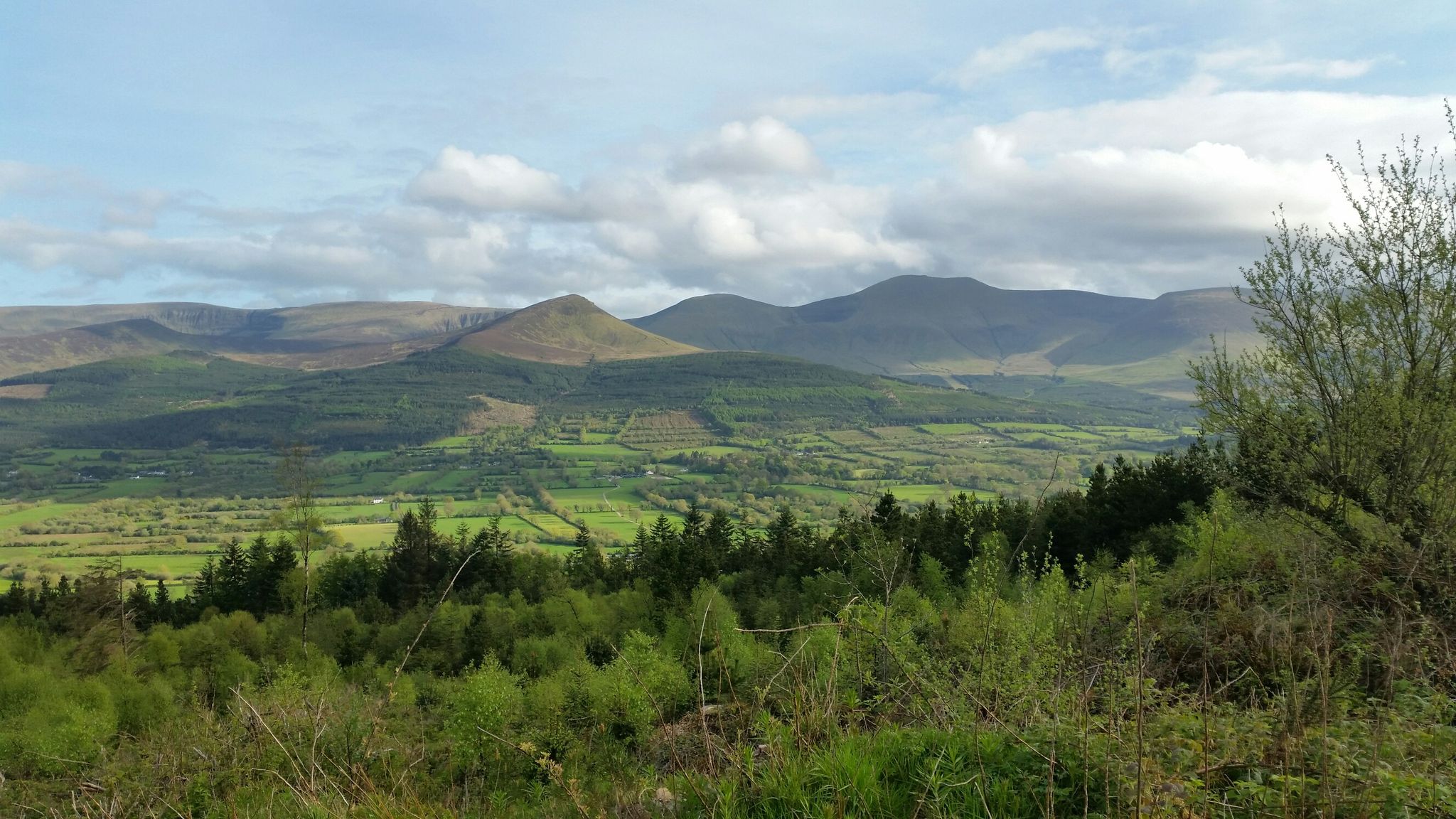
Echoes of the Long Walk — Ballyhoura Way
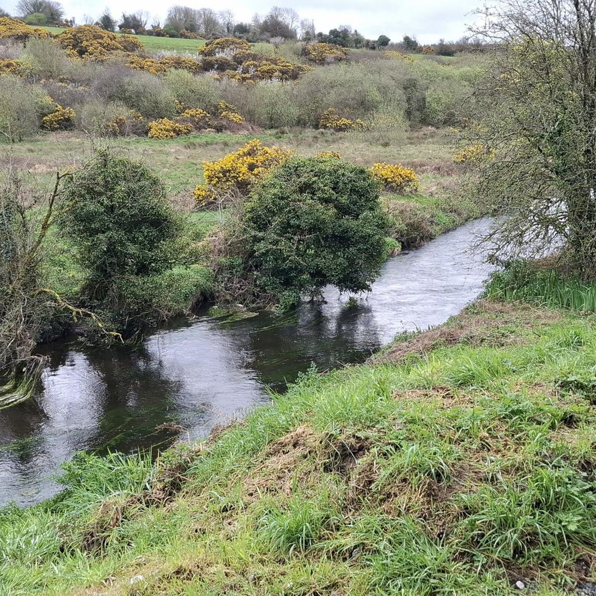
Hiking around The Municipal District of Kanturk-Mallow
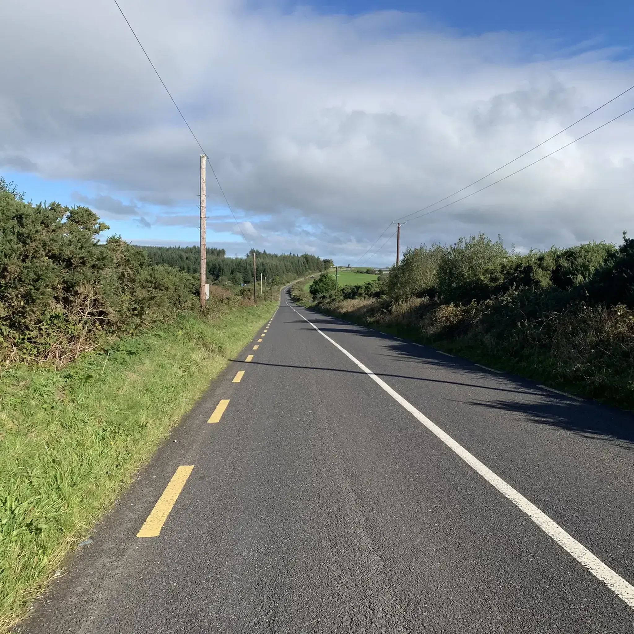
Road Cycling Routes around The Municipal District of Kanturk-Mallow
Gravel biking around The Municipal District of Kanturk-Mallow
Cycling around The Municipal District of Kanturk-Mallow
Running Trails around The Municipal District of Kanturk-Mallow
Other adventures around The Municipal District of Kanturk-Mallow

Tips from the Community

The track to Glannafreaghaun Loug (also known as Shrone Lake) is popular with both cyclists and walkers. It features lovely views of the surrounding Derrynasaggart Mountains, including the Knocknabro hills and the Paps of Anu. The track continues through the hills, creating major pass through the range.
0
0

The forest path on Mount Hillary takes walkers through forestry, with a mix of sheltered trails and challenging inclines as the route ascends the mountain slopes.
1
0
Mount Hillary in North Cork provides rewarding hikes through extensive forestry and trails to its 391-metre summit. From the top, hikers are rewarded with expansive, panoramic views across the picturesque Blackwater Valley and the surrounding Munster landscape.
0
0

An extensive network of MTB trails criss-cross the slopes of Seefin. They are fast and flowing trails, and in the interests of safety pedestrians are excluded from the bike trails. Due to the complex routing and potential for mislabelling on maps, always follow the yellow "walking person" waymarks and avoid the bike tracks.
1
1
At 1,467 ft (447 m), Carron is one of the high points of the Ballyhoura Mountains and a key landmark along the Ballyhoura Way. The approach passes wild heath, bogland, and forestry, giving a sense of remoteness. Standing on the summit, you're straddling the Cork–Limerick border and rewarded (weather permitting) with far-reaching views over both counties.
1
0

Great loop they have now installed picnic benches at various points of the lake to digest the awesome views
0
0
Ballyhoura National Park, located in the Ballyhoura Mountains on the border of County Limerick and County Cork, offers a stunning landscape of rolling hills, forests, and tranquil valleys. It is a popular destination for hiking, mountain biking, and wildlife watching, with a network of trails showcasing the area’s natural beauty and diverse ecosystems.
0
0

A dense forest welcome you to Ballhouras and the Seefin Mountains Park. With mixed terrain and various difficulty grades, Ballyhoura Mountain Bike Trails are the largest trail network in Ireland
0
0
Frequently Asked Questions
How many mountain bike trails are available in The Municipal District of Kanturk-Mallow?
There are 15 mountain bike trails documented in The Municipal District of Kanturk-Mallow on komoot. These routes offer a variety of experiences across the region's diverse terrain.
What are the difficulty levels of mountain bike trails in Kanturk-Mallow?
The trails in Kanturk-Mallow cater to various skill levels. You'll find 2 easy routes, 10 moderate routes, and 3 difficult routes. This range ensures options for beginners and experienced riders alike.
Are there any family-friendly mountain bike trails in the area?
Yes, there are easy mountain bike trails suitable for families. For instance, the Mallow — Knockaroura Hilltop loop is an easy 9.0-mile (14.6 km) trail that takes about 1 hour 8 minutes to complete, offering scenic views through Knockaraura Forest.
What kind of terrain can I expect on mountain bike trails in Kanturk-Mallow?
The region features diverse terrain, including rolling hills, extensive woodlands, and river valleys. You'll encounter natural gradients suitable for various cycling levels, with elevations ranging from 39 meters to 679 meters. Trails often pass through pine forests like Knockaraura Forest and along rivers such as the Blackwater and Dalua.
What are some notable natural features or attractions along the mountain bike routes?
Many routes offer views of the River Blackwater and pass through forests like Knockaraura Forest and Island Wood. The Knockaraura Forest Trail itself is a highlight. While not directly on every route, the region is also close to the Ballyhoura Mountains, a major draw for mountain biking with its extensive trail network.
Are there any circular mountain bike routes in Kanturk-Mallow?
Yes, many routes are designed as loops. For example, the Ballyhoura Canon Sheehan — Seefin Mountains and Castlepook loop is a moderate 21.1-mile (33.9 km) circular trail, and the Mallow — Knockaroura Hilltop loop is an easy 9.0-mile (14.6 km) loop.
What do other mountain bikers enjoy most about the trails in Kanturk-Mallow?
The trails in The Municipal District of Kanturk-Mallow are highly rated by the komoot community, with an average score of 4.8 stars from over 30 reviews. Reviewers often praise the varied terrain, the scenic views over the Blackwater River, and the immersive experience of riding through the extensive pine forests.
Are there options for advanced mountain bikers in the region?
Yes, there are challenging options for advanced riders. The region offers 3 difficult routes, such as the Mount Hillary – Forest Path loop from Clonmeen ED, which features significant elevation changes and technical sections. The Ballyhoura Trail Centre, nearby, also offers challenging routes like the Garrane technical trail.
Is public transport available to reach mountain biking trailheads?
While specific public transport links directly to all trailheads can be limited, Mallow is a key transport hub in the region. For trails within the Ballyhoura Mountains, which are a significant mountain biking destination nearby, planning for car access or local taxi services from larger towns might be necessary to reach the trail centers effectively.
Where can I find parking for mountain bike trails in Kanturk-Mallow?
Parking is generally available at or near the main trailheads and forest entrances. For routes like those in Knockaraura Forest, designated parking areas are typically provided. For trails within the broader Ballyhoura region, dedicated car parks are available at the Ballyhoura Trail Centre.
Are there any trails that feature waterfalls?
One route, the Waterfall Near Kilgarvan – Trail to Glannafreaghaun Lough loop from Millstreet, specifically mentions a waterfall. This moderate 45.1-mile (72.6 km) trail offers a chance to experience this natural feature.
What is the best time of year for mountain biking in Kanturk-Mallow?
The region's varied terrain and forests make it suitable for mountain biking through much of the year. Spring and autumn offer pleasant temperatures and vibrant scenery. While winter riding is possible, be prepared for potentially wetter conditions, especially on forest trails.
Most popular routes around The Municipal District of Kanturk-Mallow
Most popular attractions around The Municipal District of Kanturk-Mallow

Get inspired with the komoot mobile app


Explore more
Browse the best MTB trails in other regions.
