The best walks and hikes around Lifford-Stranorlar Municipal District
4.2
(42)
250
hikers
23
hikes
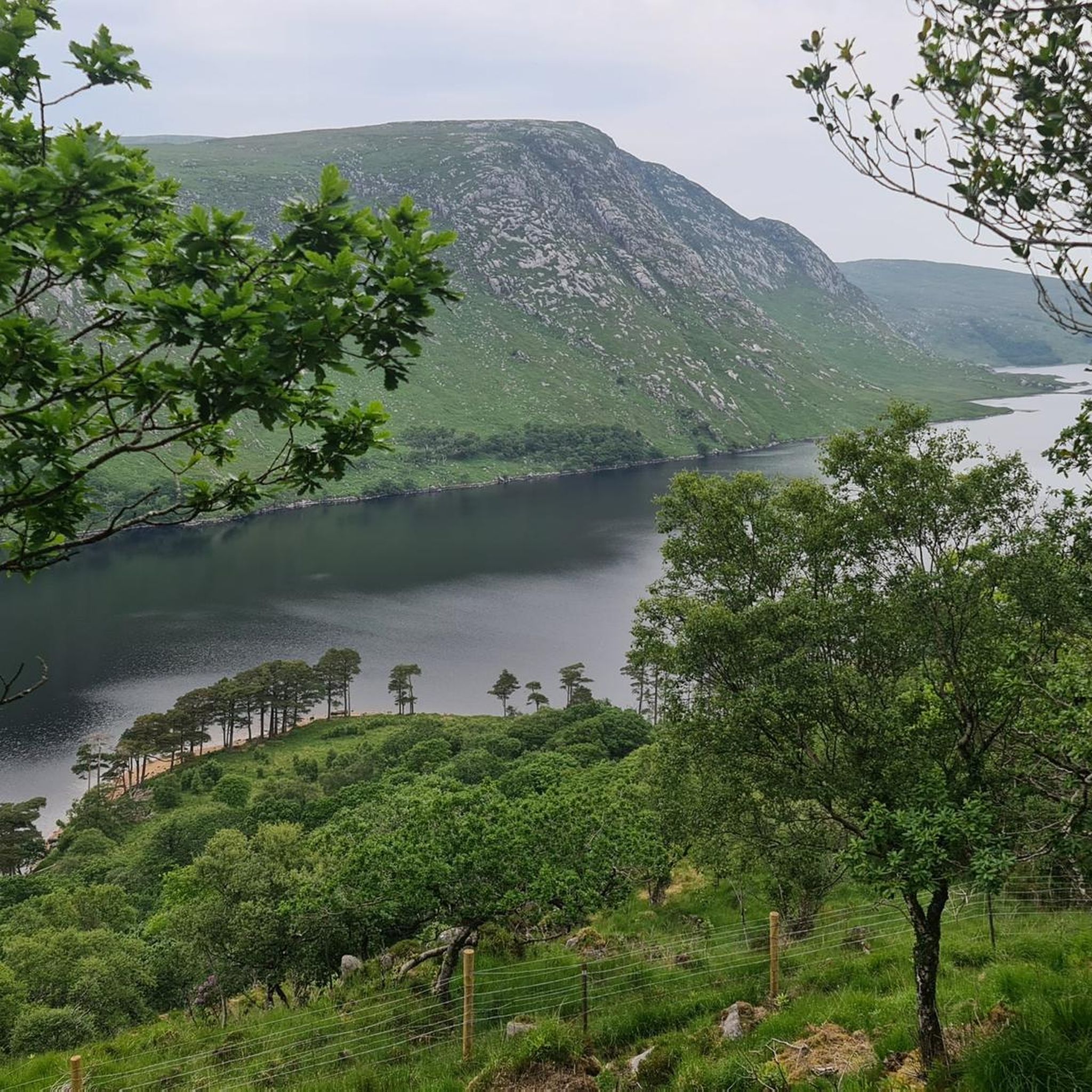
Hiking trails around Lifford-Stranorlar Municipal District traverse a landscape characterized by picturesque woodlands, serene loughs, and rolling countryside. The region, part of County Donegal, offers diverse terrain for outdoor activities. Trails often follow well-maintained forestry paths and riverbanks, providing varied views. The area features gentle elevations and accessible routes through natural settings.
Best hiking trails around Lifford-Stranorlar Municipal District
- The most popular hiking route is Corravaddy Wood Gravel Path – Scenic Forest Trails loop from Corravaddy Electoral Division, a 3.9 miles (6.3 km) trail that takes 1 hour 43 minutes to complete. This easy path leads through peaceful trees, streams, and offers opportunities to spot wildlife.
- Another top favourite among local hikers is Drumboe Woods loop from MacCumhaill Park, an easy 3.8 miles (6.1 km) path. This route winds through woodlands with various tree species and offers pleasant walks along the riverbank.
- Local hikers also love the Meenavally – Steeple Tower loop from Lifford-Stranorlar Municipal District, a 3.1 miles (5.1 km) trail leading through rolling countryside, often completed in about 1 hour 25 minutes.
- Hiking around Lifford-Stranorlar Municipal District is defined by woodlands, loughs, and rolling countryside. The network offers options for different ability levels, including easy, moderate, and difficult routes.
- The routes in Lifford-Stranorlar Municipal District are highly rated by the komoot community with an average score of 4.0 stars from more than 30 reviews. More than 200 hikers have used komoot to explore Lifford-Stranorlar Municipal District's varied terrain.
Last updated: August 19, 2026
5.0
(1)
11
hikers
3.18km
00:49
10m
10m
Easy hike. Great for any fitness level. Easily-accessible paths. Suitable for all skill levels.
7
hikers
10.8km
03:10
300m
300m
Moderate hike. Good fitness required. Easily-accessible paths. Suitable for all skill levels.

Sign up for free
30.1km
08:13
460m
460m
The Salmon Leap from Barnesmore Gap is a difficult 18.7-mile hike in County Donegal, offering stunning views and the chance to see salmon.
3.11km
00:55
100m
100m
Easy hike. Great for any fitness level. Easily-accessible paths. Suitable for all skill levels.
21
hikers
4.21km
01:09
60m
60m
Easy hike. Great for any fitness level. Easily-accessible paths. Suitable for all skill levels.
4
hikers
6.06km
01:36
50m
50m
Easy hike. Great for any fitness level. Easily-accessible paths. Suitable for all skill levels.
4
hikers
Easy hike. Great for any fitness level. Easily-accessible paths. Suitable for all skill levels.
6
hikers
4.06km
01:03
20m
20m
Easy hike. Great for any fitness level. Easily-accessible paths. Suitable for all skill levels.
6
hikers
Easy hike. Great for any fitness level. Easily-accessible paths. Suitable for all skill levels.
Get access to more routes and recommendations from other explorers.
Sign up for free
Already have an account?
Our route recommendations are based on thousands of hikes, rides, and runs completed by other people on komoot.
Start today with a free account
Your next adventure awaits.
Login or Signup
Popular around Lifford-Stranorlar Municipal District

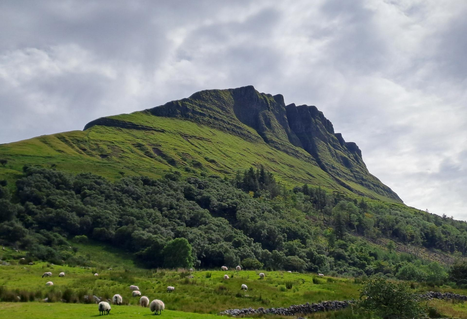
Hiking around Lough Mourne
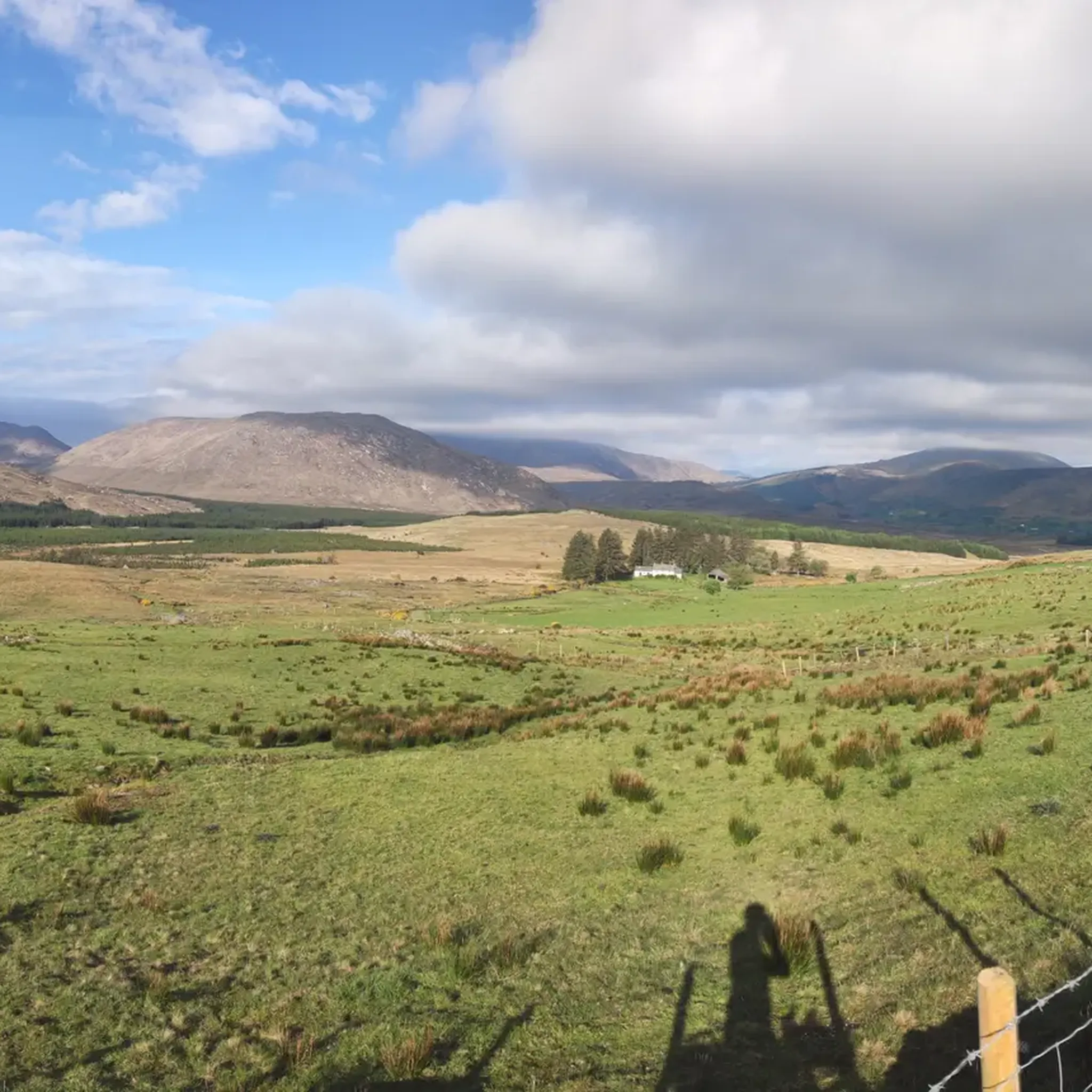
Cycling across the border on the North West Trail
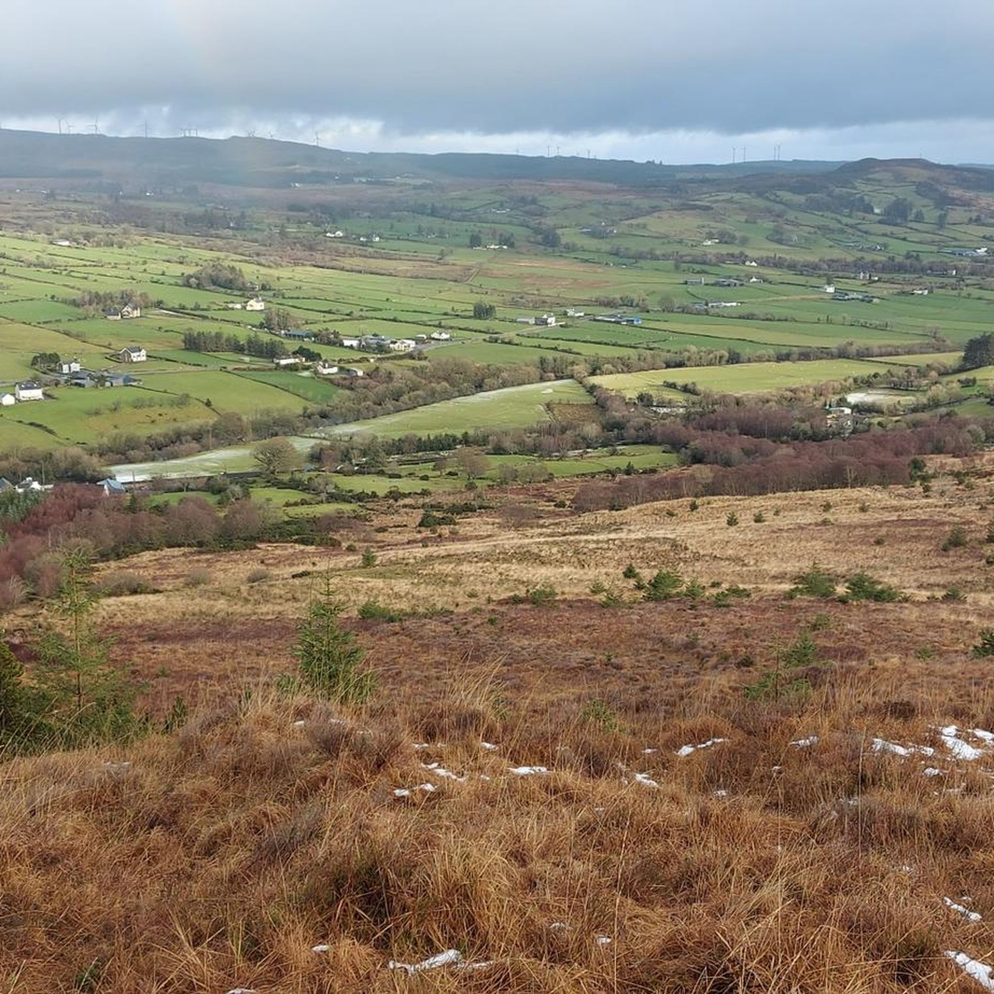
MTB Trails around Lifford-Stranorlar Municipal District
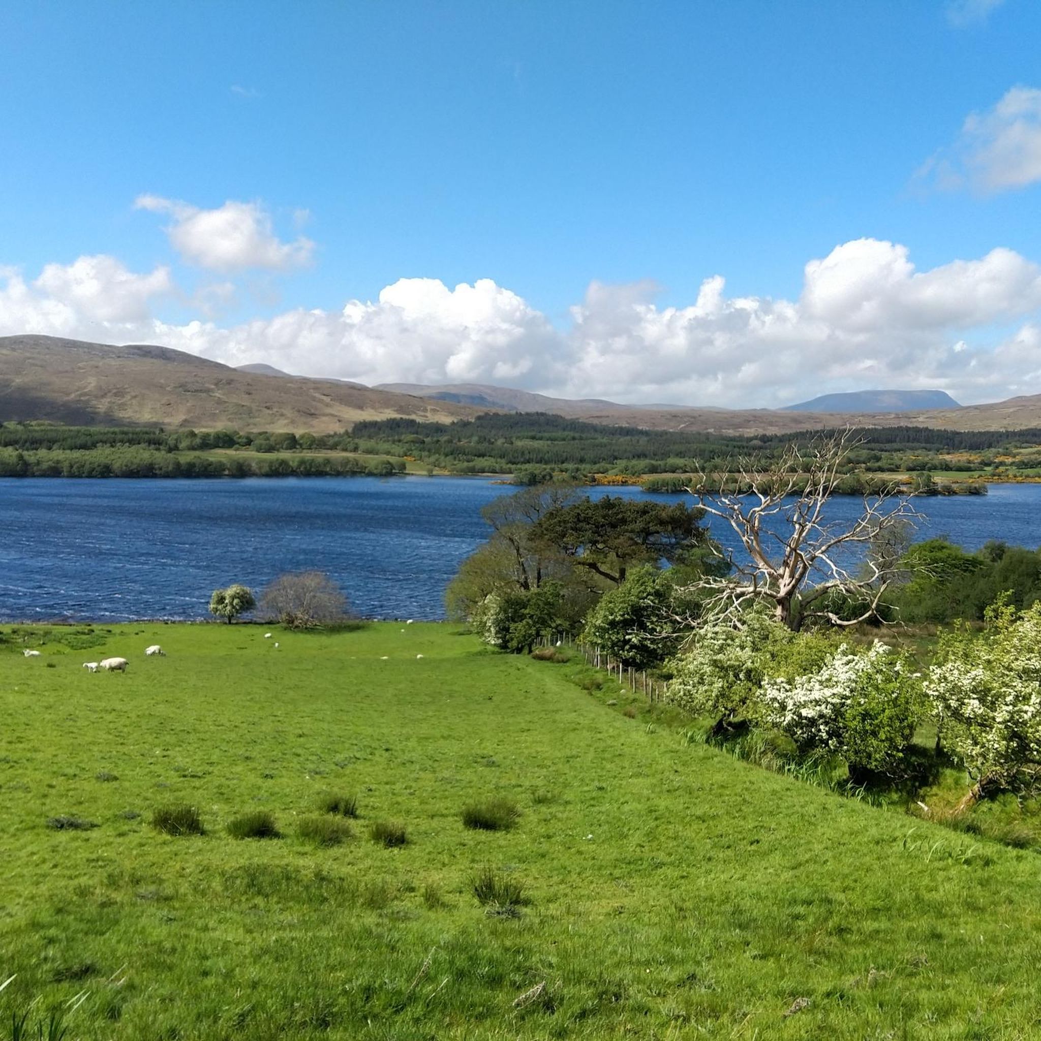
Cycling around Lifford-Stranorlar Municipal District
Road Cycling Routes around Lifford-Stranorlar Municipal District
Running Trails around Lifford-Stranorlar Municipal District
Other adventures around Lifford-Stranorlar Municipal District

Tips from the Community

The rough gravel trail takes you from the road head east of the larger Lough Eske out to Lough Fad and the five other small lakes in this area. You'll cross boggy moorland where there are some interesting plants.
0
0

A clear track ascends to Croaghonagh, one of the principal peaks above the Barnesmore Gap. Expect vast views across beautiful Donegal. You can spot distant Errigal on a clear day, a fine sight.
0
0
A legendary peak dominates the distant skyline of the ascent of Croaghonagh. The unmistakable shape of Errigal entices the eye, a clarion call for eager hillwalkers and scramblers. Errigal is Donegal's most famous mountain, a great pyramid of quartzite that dominates the scenery for many miles around.
0
0
Rising to an elevation of 1,480 feet (451 m) above the Barnesmore Gap, Croaghonagh is a worthy objective, despite the infrastructure on its summit. The peak that glares back across at Croaghonagh from the other side of the road is the slightly higher Croaghconnellagh. Amazing to think that just around 13,000 years ago, a great glacier would have occupied the valley below.
0
0
Drumboe Woods is managed mixed leaf woodland on the north side of the River Finn. There are several waymarked walking trails here, with details of the routes on the noticeboard at the start.
0
0
A useful footbridge over the Riber Finn, linking Ballybofey with the riverside trails and Drumboe woodland trails.
0
0

Be sure to use the Riverside Walk on both sides, definitely the most beautiful part of the loop!
0
0
Frequently Asked Questions
How many hiking trails are available in Lifford-Stranorlar Municipal District?
There are over 15 hiking trails in the Lifford-Stranorlar Municipal District, offering a variety of experiences through woodlands, loughs, and rolling countryside.
What are the different difficulty levels for hiking trails in the Lifford-Stranorlar Municipal District?
The district offers a range of difficulty levels. You'll find 14 easy routes, 3 moderate routes, and 2 more challenging difficult routes, ensuring options for various fitness levels.
What do other hikers enjoy most about hiking in Lifford-Stranorlar Municipal District?
The area is highly rated by the komoot community, with an average score of 4.0 stars from over 30 reviews. Hikers often praise the peaceful woodlands, well-maintained paths, and the scenic views of the rolling countryside and loughs.
Are there any circular hiking routes in the Lifford-Stranorlar Municipal District?
Yes, many trails in the district are circular. Popular options include the Drumboe Woods loop from MacCumhaill Park, which winds through diverse woodlands, and the Corravaddy Wood Gravel Path – Scenic Forest Trails loop, offering peaceful forest walks.
Can I find trails with waterfalls in the Lifford-Stranorlar Municipal District?
Yes, Corravaddy Wood is a notable natural feature in the district that offers a 4km looped trail where you can discover streams and a waterfall amidst peaceful trees. It's also a great spot to look for red squirrels.
Are there family-friendly hiking options in the Lifford-Stranorlar Municipal District?
Absolutely. Many trails, particularly those through Corravaddy Wood and Drumboe Woods, are described as easy and suitable for all skill levels. These well-maintained forestry paths provide a safe and enjoyable experience for families.
Are dogs allowed on the hiking trails in Lifford-Stranorlar Municipal District?
While specific regulations can vary, many of the forestry paths and open countryside trails in the Lifford-Stranorlar Municipal District are generally dog-friendly. It's always recommended to keep dogs on a leash, especially near livestock or wildlife, and to clean up after them.
What natural features can I expect to see while hiking in this district?
Hikers can expect to encounter picturesque woodlands, serene loughs, and sweeping rolling countryside views. Notable natural features include Corravaddy Wood, Drumboe Woods, and views of Barnes Lough, particularly around the Barnesmore Gap area.
Are there any historical sites or landmarks accessible from the trails?
Yes, the ancient Beltany Stone Circle, a megalithic site with 64 preserved stones, is located just south of Raphoe and is accessible via a slight uphill path. This offers a fascinating historical point of interest near the district.
What are some longer or more challenging hikes in the area?
For those seeking a more challenging experience, the Salmon Leap from Barnesmore Gap is a difficult 30 km route with significant elevation changes. This trail offers a strenuous but rewarding adventure through the landscape.
Is there public transport or parking available near the trailheads?
While specific public transport links directly to all trailheads may be limited, many of the popular forestry paths and walking routes, such as those in Corravaddy Wood and Drumboe Woods, typically have designated parking areas nearby. It's advisable to check local information for specific trail access points.
What is the Lifford Slí?
The Lifford Slí is a 3km route that connects to the 'Highway to Health' route in Strabane, marking the first cross-border 'Slí na Sláinte' route. It provides an accessible way to enjoy physical activity and explore the area. You can find more information on govisitdonegal.com.
Are there any other major natural attractions nearby that are worth visiting?
Beyond the immediate district, County Donegal is home to stunning natural beauty. Glenveagh National Park, a short drive away, offers a remote wilderness of mountains, lakes, and waterfalls. The impressive Sliabh Liag Cliffs, Europe's highest sea cliffs, are also within County Donegal and provide dramatic coastal scenery.
Most popular routes around Lifford-Stranorlar Municipal District
Most popular attractions around Lifford-Stranorlar Municipal District

Get inspired with the komoot mobile app


Didn’t find what you were looking for?
Check out more Hikes throughout Lifford-Stranorlar Municipal District below and find the perfect route in your destination.
Explore more
Browse the best Hikes in other regions.
