The best cycling routes around The Municipal District of Clane — Maynooth
4.7
(69)
798
riders
42
rides
Touring cycling routes around The Municipal District of Clane — Maynooth traverse a landscape characterized by gently rolling countryside, agricultural fields, and significant waterways. The region features the Royal Canal Greenway, offering largely flat, off-road paths alongside the canal's historical engineering. Woodland paths are found within areas like Donadea Forest Park, providing varied terrain for cyclists. Elevation gains are generally moderate, making the area accessible for a range of cycling abilities.
Best touring cycling routes around The Municipal District of…
Last updated: July 7, 2026
5.0
(2)
37
riders
67.2km
04:01
150m
150m
Moderate bike ride. Good fitness required. Mostly paved surfaces. Suitable for all skill levels.
5.0
(1)
27
riders
13.8km
00:50
20m
20m
Easy bike ride. Great for any fitness level. Mostly paved surfaces. Suitable for all skill levels.

Sign up for free
4.0
(1)
20
riders
26.0km
01:36
30m
30m
Easy bike ride. Great for any fitness level. Mostly paved surfaces. Suitable for all skill levels.
5.0
(1)
14
riders
46.9km
02:48
100m
100m
Moderate bike ride. Good fitness required. Mostly paved surfaces. Suitable for all skill levels.
5.0
(1)
6
riders
14.6km
00:52
20m
20m
Easy bike ride. Great for any fitness level. Mostly paved surfaces. Suitable for all skill levels.
6
riders
17.3km
01:01
50m
50m
Easy bike ride. Great for any fitness level. Mostly paved surfaces. Suitable for all skill levels.
3.5
(2)
6
riders
22.7km
01:19
80m
80m
Easy bike ride. Great for any fitness level. Mostly paved surfaces. Suitable for all skill levels.
4
riders
25.8km
01:29
70m
70m
Easy bike ride. Great for any fitness level. Mostly paved surfaces. Suitable for all skill levels.
5.0
(1)
3
riders
22.5km
01:17
70m
70m
Easy bike ride. Great for any fitness level. Mostly paved surfaces. Suitable for all skill levels.
5
riders
65.6km
03:50
360m
360m
Moderate bike ride. Good fitness required. Mostly paved surfaces. Suitable for all skill levels.
Get access to more routes and recommendations from other explorers.
Sign up for free
Already have an account?
Our route recommendations are based on thousands of hikes, rides, and runs completed by other people on komoot.
Start today with a free account
Your next adventure awaits.
Login or Signup
Popular around The Municipal District of Clane — Maynooth
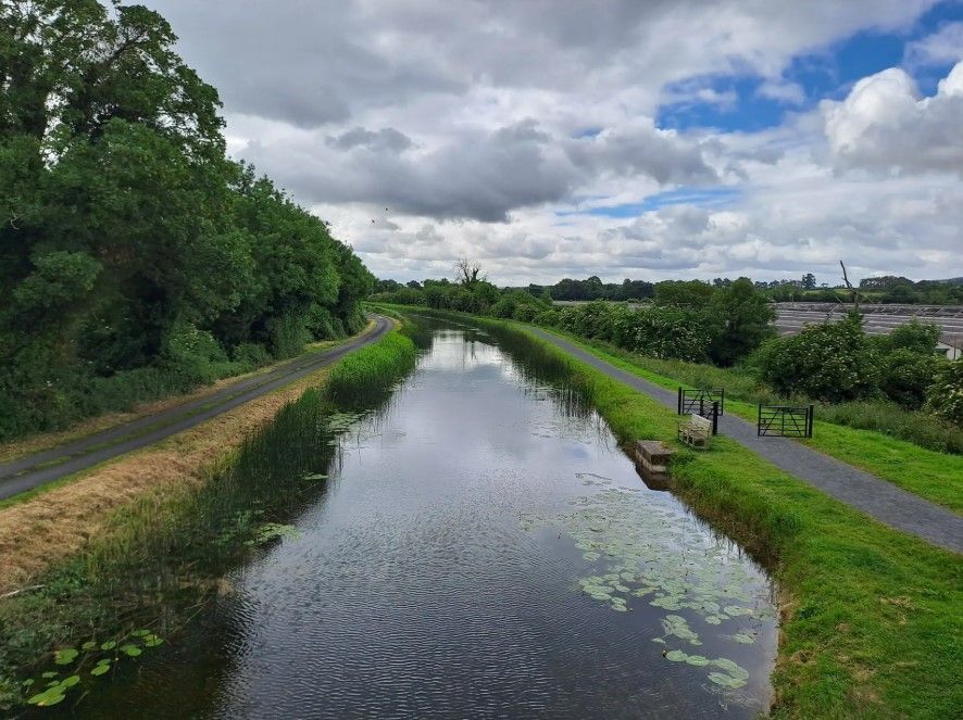
The Barrow Way — Walking Beside Quiet Waters

Ireland's blue rivers and lakes – walks along the water
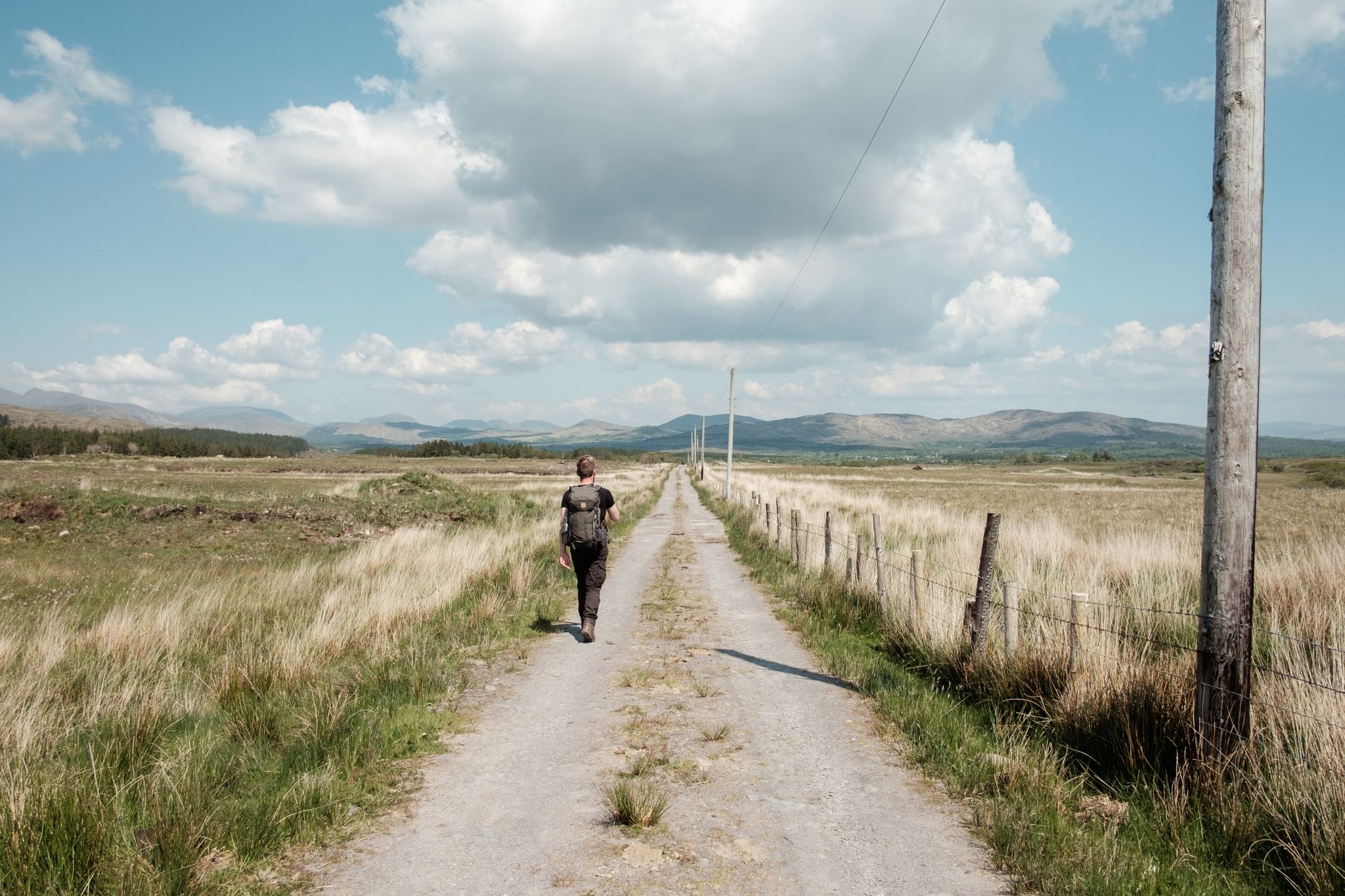
Irish wanderlust — 8 long-distance hiking trails on the Emerald Isle
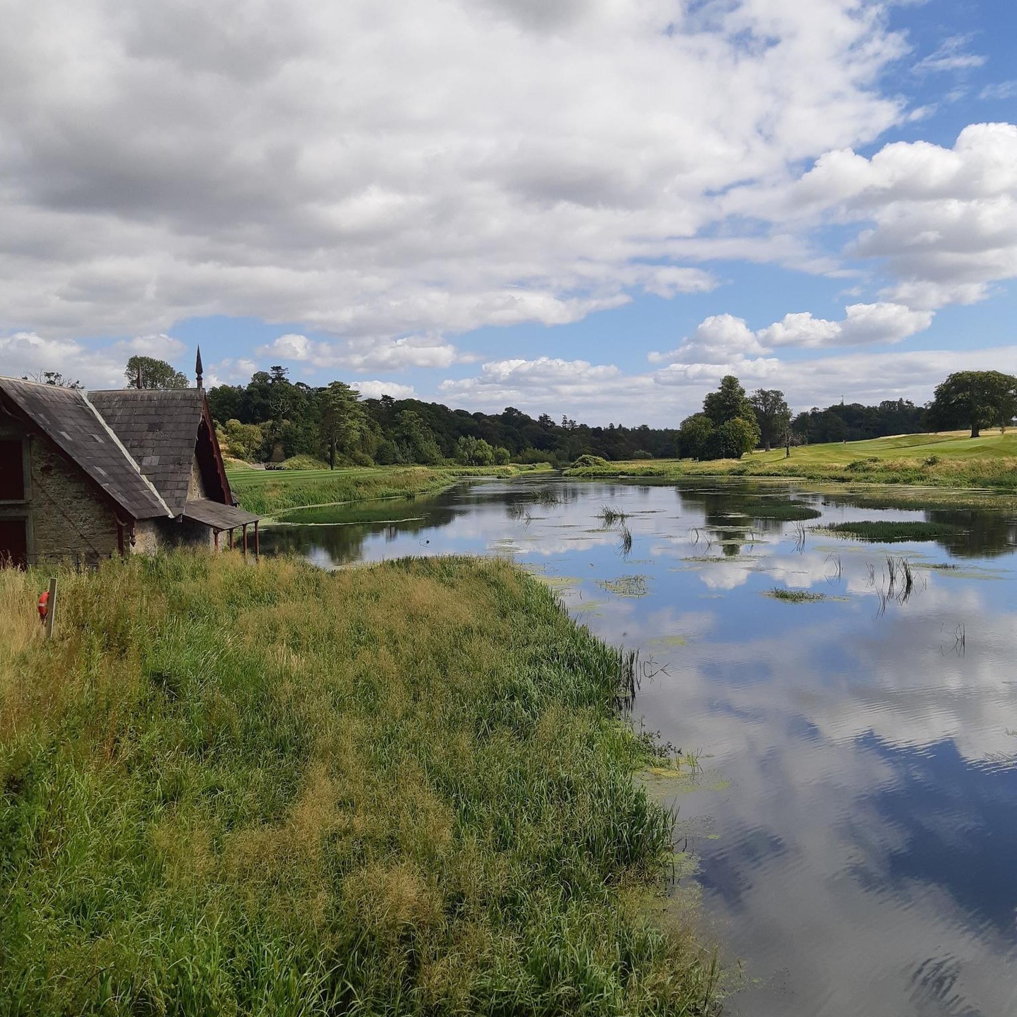
Hiking around The Municipal District of Clane — Maynooth
Running Trails around The Municipal District of Clane — Maynooth
Road Cycling Routes around The Municipal District of Clane — Maynooth
MTB Trails around The Municipal District of Clane — Maynooth
Gravel biking around The Municipal District of Clane — Maynooth
Other adventures around The Municipal District of Clane — Maynooth


Tips from the Community

Bective Bridge is typical of the old stone bridges that cross the Boyne in this area. Just outside the town of Beative, it is the perfect counterpoint to Ballinter Bridge a bit futher down river, which makes a good walking loop.
0
0

Newly refurbished for 2026 Mary Lynch’s Pub is beautifully situated on the banks of the Royal Canal in Coralstown. The building dates back to the early 1900s and offers a cosy spot filled with old world charm, ideal for a stop-off on the Royal Canal Way.
0
0
The magnificent 200-year old aqueduct and viaduct carry the Royal Canal and railway line over the River Boyne. Crossing the aqueduct on the Royal Canal Way affords beautiful views out over the surrounding countryside.
0
0
Formerly an important shipping stop-off before Dublin, Maynooth Harbour is now used mostly for leisure purposes. Known locally as Dukes Harbour, it lies close to the bustling university town of Maynooth.
0
0
Devonshire Bridge is a stone road bridge crossing on the Grand Canal. The canal path goes under the L2010 road here on it's 117-kilometre (73-mi) way from Shannon Harbour to Lucan.
0
0

Barberstown Castle was first built in 1288 as a medieval fortress and has had more than 30 owners over the centuries. Among its most famous was Eric Clapton, who lived here in the 1970s and even hosted concerts on the grounds. Today, the castle is a luxury hotel and restaurant.
0
0
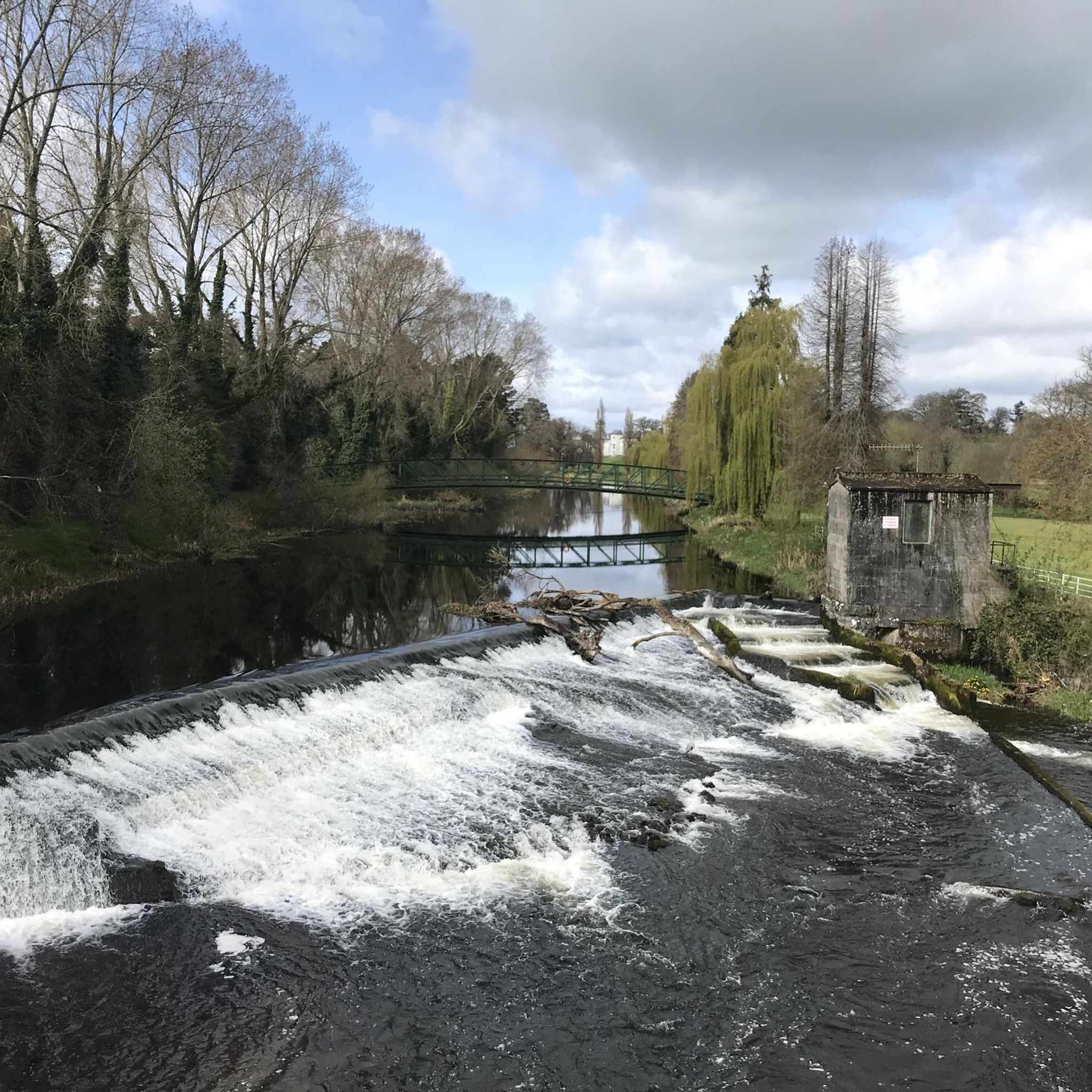
The current Straffan Bridge was built in 1836 to replace an older crossing, and the adjacent weir is part of the Leinster Aqueduct system, which carries the Grand Canal over the River Liffey just upstream. This makes the area unusual – you can stand within a short walk of both a river spanned by a road bridge and a canal carried high over the same river.
0
0
A classic canal-side pub on the Royal Canal Greenway, perfect for a hearty meal or a pint after your ride. Known for its warm, traditional interior and home-cooked food, it’s a welcoming stop just off the towpath.
0
0
Frequently Asked Questions
How many touring cycling routes are available in The Municipal District of Clane — Maynooth?
There are over 45 touring cycling routes in The Municipal District of Clane — Maynooth, offering a diverse range of options for cyclists. These routes are highly rated by the komoot community, with an average score of 4.8 stars.
What is the typical terrain like for touring cyclists in this region?
The region features a mix of gently rolling countryside, agricultural fields, and significant waterways. The Royal Canal Greenway offers largely flat, off-road paths, while other routes may include woodland paths, particularly around areas like Donadea Forest Park. Elevation gains are generally moderate, making the area accessible for a range of cycling abilities.
Are there easy touring cycling routes suitable for beginners or families?
Yes, the area is well-suited for beginners and families, with 27 easy routes available. The Maynooth Castle – Kilcock Harbour loop from Maynooth is an easy 14.6 km trail connecting historical canal points. Another great option is the Maynooth Harbour – Kilcock Harbour loop from Kilcock, which is also easy and covers 13.8 km.
Can I find circular touring cycling routes in the area?
Yes, many of the touring cycling routes in The Municipal District of Clane — Maynooth are circular. For example, the Lockside Café loop from Clane is a 17.3 km circular route, and the Kildare Maze loop from Clane offers a 20.6 km circular ride.
What historical landmarks or natural features can I see along the touring cycling routes?
Cyclists can explore a rich blend of history and nature. Along the Royal Canal Greenway, you'll encounter impressive historical engineering, including 90 bridges, 33 locks, 17 harbors, and four aqueducts. Notable landmarks include Maynooth Castle, an impressive medieval fortress, and the Donadea Castle Ruins within Donadea Forest Park. You can also see various Canal Locks on the Royal Canal.
What are the options for parking near the cycling routes?
Access points to the Royal Canal Greenway are approximately every 10 km, often with parking facilities. For routes starting in towns like Maynooth or Clane, public parking is generally available. It's advisable to check local parking regulations and availability, especially during peak times.
Is public transport accessible for reaching the cycling routes?
Maynooth is well-connected by public transport, including train services, making it a convenient starting point for many routes, particularly those along the Royal Canal Greenway. Efforts are ongoing to improve pedestrian and cycling links, enhancing connectivity within and beyond the district.
Are there cafes or places to stop for refreshments along the way?
Yes, the region offers charming waterside villages and towns like Maynooth and Kilcock, where you can find cafes, pubs, and other amenities. The Fureys Bar – White Cottage by the Canal loop from Moyvalley suggests specific stopping points, and many routes pass through areas with refreshment options.
What is the best time of year to go touring cycling in the region?
The gently rolling countryside and waterside paths are enjoyable throughout the warmer months, typically from spring to early autumn. During these seasons, the weather is generally milder, and the natural scenery, including wildlife along the Royal Canal Greenway, is at its most vibrant.
Are the touring cycling routes dog-friendly?
While many outdoor areas in Ireland welcome dogs, specific rules can vary, especially on shared paths like the Royal Canal Greenway or within protected areas like Donadea Forest Park. It's generally recommended to keep dogs on a leash and ensure they are well-behaved around other users and wildlife. Always check local signage for specific regulations.
What kind of wildlife might I encounter while cycling?
The Royal Canal Greenway is particularly rich in wildlife. Cyclists often spot herons, swans, otters, badgers, and foxes amidst the peaceful waters and colorful hedgerows. The diverse natural features of the region provide habitats for various bird species and small mammals.
Are there any longer, more challenging touring cycling routes?
While many routes offer moderate elevation gains, there are options for those seeking longer rides. The Mullingar – Mullingar loop from Ballynadrumny Electoral Division is a moderate 67.2 km trail that leads through the wider regional landscape, typically completed in about 4 hours.
What do other cyclists enjoy the most about touring cycling in The Municipal District of Clane — Maynooth?
The area is highly rated by the komoot community, with an average score of 4.8 stars from over 10 reviews. Reviewers often praise the serene waterside paths of the Royal Canal Greenway, the blend of historical landmarks, and the accessibility of routes for various skill levels. The peaceful countryside and well-maintained paths are frequently highlighted.
Are there any routes that explore woodland areas?
Yes, Donadea Forest Park offers excellent woodland paths for exploration. While not exclusively cycling routes, these paths can be incorporated into cycling itineraries, providing a change of scenery from the open countryside and canal paths. The park also features the historical Donadea Castle Ruins.
Most popular routes around The Municipal District of Clane — Maynooth
Most popular attractions around The Municipal District of Clane — Maynooth

Get inspired with the komoot mobile app


Explore more
Browse the best Cycling routes in other regions.
